Parking
Start at Twin Lakes Trailhead by Lodgepole Campground and finish at Crescent Meadow. Arrange the separate return between trailheads before leaving your car.
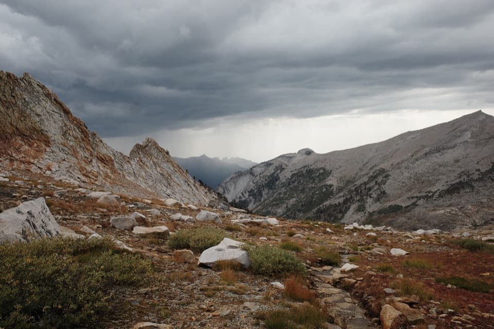
Sequoia National Park, CA
A six-day traverse from Lodgepole to Deadman Canyon’s granite headwall
Overview
Deadman Canyon Loop is a roughly 49-mile, four-to-seven-day backpacking traverse through Sequoia and Kings Canyon’s high country. It starts at Twin Lakes Trailhead by Lodgepole, crosses Silliman Pass, follows the Belle Canyon and Sugarloaf corridor to Roaring River, enters Deadman Canyon, then crosses Elizabeth Pass and returns toward Crescent Meadow on the High Sierra Trail. The usual line is a near-loop, not a closed circuit: it ends at a different trailhead, so arrange the connection back to Lodgepole before you leave your car. A detailed itinerary spreads it over six hiking days. This is a demanding wilderness trip, not a casual overnight.
 Parkwolf’s verdictIs this the hike for you?
Map & elevation
Plan your hike

The highest, rockiest slopes around here are a summer buffet for grizzly bears.
Sequoia Tour Guide
Parkwolf is a GPS audio tour guide for Sequoia National Park. As you drive, it chimes in with what’s ahead: hidden gems, upcoming stops, history, geology, and wildlife, right through your car’s speakers.
See the Sequoia audio tourRecorded for this area
Lodgepole and Tokopah Falls“Lodgepole is coming up, where the trail to Tokopah Falls follows the river into a glacier-carved granite canyon.”
Plays on the road 0.1 mi from the trailhead in the Parkwolf Sequoia Tour Guide.
More stories near here in the app
“…The kids and my husband and I all agree that the narration really added to our experience driving through the parks. We learned so much about the history and the flora & fauna.”


Trail guide
The first leg climbs steadily through forest toward Twin Lakes, gaining about 2,800 feet. A hiker who made the climb described a well-graded, shaded tread, with the views opening mainly at the lakes. From there the route crosses Silliman Pass and works through the high basins toward Belle Canyon and the Sugarloaf valley. Ranger Lake and Ball Dome are landmarks along this quieter stretch; most of the day is about covering miles between lakes, meadows and creeks rather than stopping at a succession of big overlooks.
Water is seasonal. Some small streams have been dry or low in reported trips, so don’t count on every blue line on a map being a dependable source. Check current conditions and plan your water capacity around the season.
The turn south from Roaring River begins with a roughly 1,000-foot climb through dense, buggy forest with little to see. Grave Meadow is the payoff for that stretch: the trees break, the views open, and granite walls start to close around the canyon. A grave stands in the meadow, though the old story attached to it is not well established. Higher up, the canyon narrows toward a granite headwall, with a green creek corridor below the bare rock. This is the route’s most memorable stretch; give it time instead of treating it as just another climb.
From the head of Deadman Canyon, the trail climbs toward Elizabeth Pass. The crossing opens views in both directions, but the descent is the harder part: one detailed trip report describes about 3,200 feet down in roughly 2.5 miles, over rough, steep ground that can feel more like following rock channels than a smooth trail. Small stone stacks mark the line in places. Slow down and keep your eyes on those markers; this is not the stretch to hurry through.
After the pass, the route joins the High Sierra Trail for the exit to Crescent Meadow. The last miles are a welcome change from the steep descent: a six-day itinerary describes a broad, well-maintained tread that is not especially steep. NPS describes the High Sierra Trail as a long, easier traverse toward Bearpaw Meadow before the climbing beyond. The near-loop’s finish is Crescent Meadow, several miles from the Lodgepole start.
NPS lists the first allowed overnight camping area three miles from the Twin Lakes entry and three miles from the Crescent Meadow High Sierra Trailhead. Build your itinerary around the park’s current campsite and permit rules. The route is remote, water sources can change with the season, and the start and finish are separate access points; sort out both the overnight plan and your return logistics before setting out.
Overnight hikers need a wilderness permit for the Twin Lakes entry. Park rules prohibit pets on trails. Check the permit and camping rules before you set dates.
Wildlife
 691 sightingsBlack BearMost seen around 6 PMSighting map
 17 sightingsMountain LionMost seen around 6 AMSighting map
 18 sightingsBobcatMost seen around 7 PMSighting map
 24 sightingsCoyoteMost seen around 7 PMSighting map
 15 sightingsGolden EagleMost seen around 11 AMSighting map
 20 sightingsSpotted OwlMost seen around 7 PMSighting map
Sighting maps show where each species has been reported across Sequoia. Wildlife moves, so no sighting is guaranteed.
Keep exploring
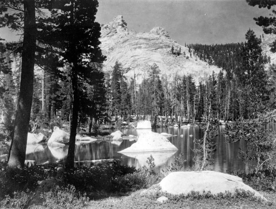 ChallengingSilliman Pass Trail15.4 mi · 10 hr · At the trailheadA long, strenuous hike to Twin Lakes and a wooded Sierra pass.
 ModerateTokopah Falls Trail3.8 mi · 2.3 hr · At the trailheadFollow the Marble Fork to a 1,200-foot granite cascade
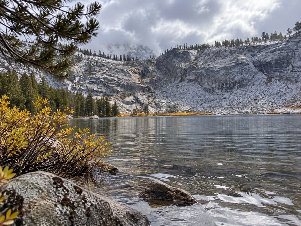 ChallengingTwin Lakes Trail13.6 mi · 8 hr · At the trailheadWorth the long pine climb for two quiet high Sierra lakes.
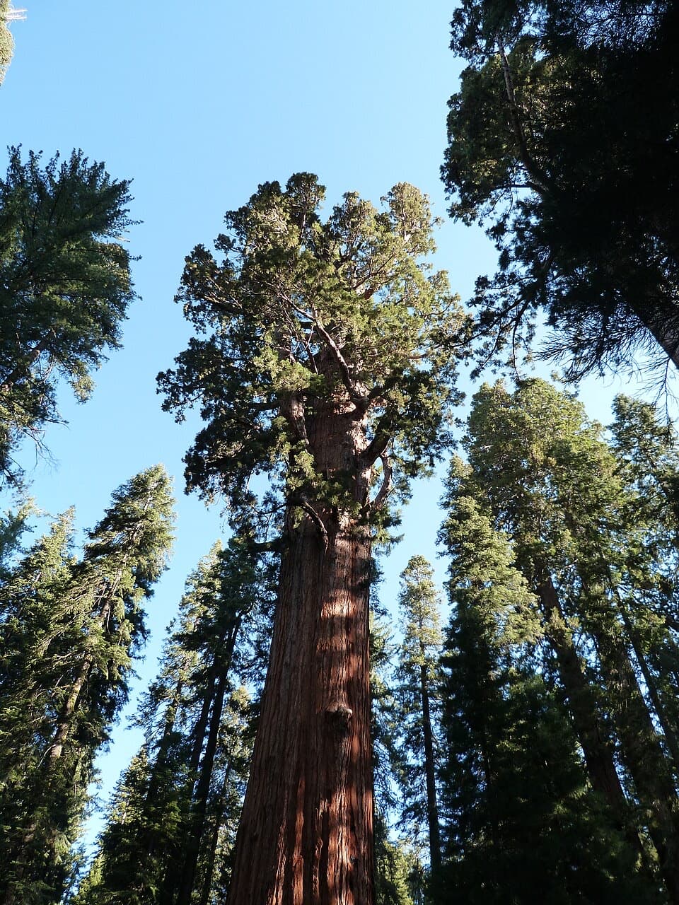 ModerateLodgepole–Sherman Tree Trail2.8 mi · 3.5 hr · 0.2 mi awayA 2.8-mile walk through sequoias to General Sherman Tree.
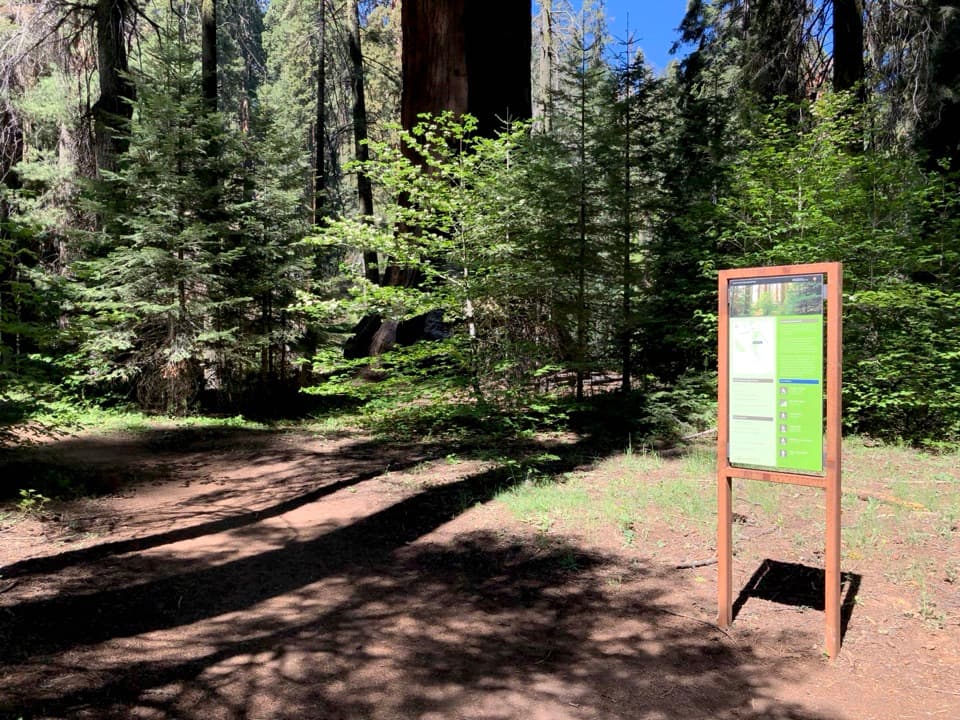 ChallengingAlta Winter Trail6.2 mi · 7 hr · 0.8 mi awayA winter ridge drops into Giant Forest's giant sequoias.
 ModerateLong Meadow Loop2.8 mi · 1.5 hr · 0.8 mi awayA quiet loop around a wet meadow where wildlife is the point.
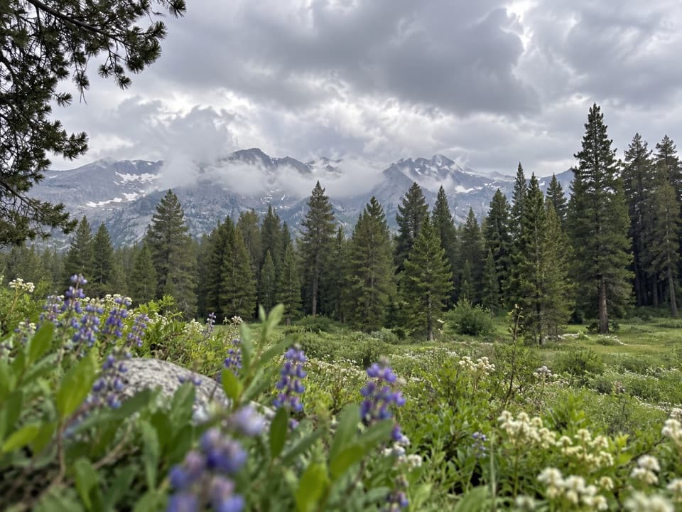 ChallengingAlta Meadow Trail13.1 mi · 7.5 hr · 0.8 mi awayA hard climb ends in a meadow beneath the Great Western Divide.
 ChallengingLakes Trail to Pear Lake12.8 mi · 7.5 hr · 0.8 mi awayFrom forest switchbacks to the glacial bowl around Pear Lake.
 Campground · 0.2 mi awayLodgepole CampgroundCamp beside the Marble Fork, with a shuttle to Giant Forest.
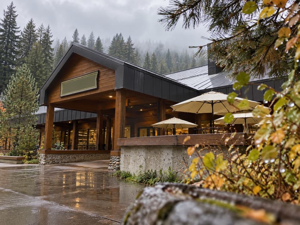 Store · 0.5 mi awayLodgepole Market CenterA high-country supply stop with groceries, a grill, showers, and laundry.
 Visitor center · 0.5 mi awayLodgepole Visitor CenterGet oriented before the big trees, with exhibits that travel by sound.
 Picnic area · 0.7 mi awayLodgepole Picnic AreaA shaded riverside picnic with Lodgepole's village services close by.
 Picnic area · 0.9 mi awayWolverton Picnic and Snowplay AreaA meadow picnic spot with winter snowplay when conditions allow.
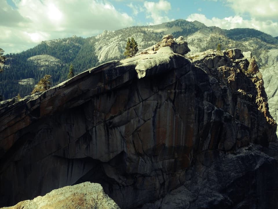 Sight · 1.3 mi awayThe Watchtower ViewpointA long climb pays off with Tokopah Falls far below.
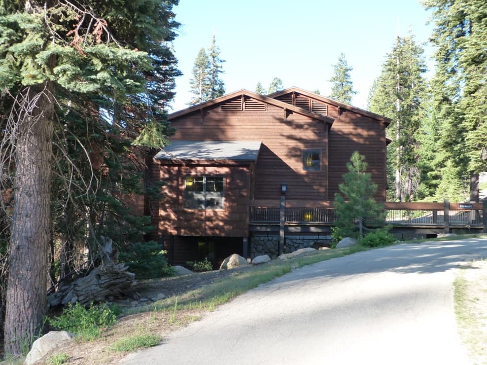 Lodging · 1.6 mi awayWuksachi LodgeA wooded, in-park base with meals and starry skies.
 Sight · 1.7 mi awayTokopah FallsA granite canyon walk ends at a 1,200-foot waterfall.
Parkwolf’s Sequoia ranking
The audio tour guide for the drive, plus offline maps, trails, and wildlife heatmaps for when the signal drops.




