Parking
Use the day-hiker parking lot beside the Lodgepole bus stop. Cross the Marble Fork bridge, pass Tokopah Valley Trail, then take the signed Twin Lakes Trailhead about 30 yards beyond. The route length starts at the signed trail, not the lot.
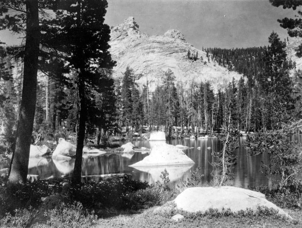
Sequoia National Park, CA
A long, strenuous hike to Twin Lakes and a wooded Sierra pass.
Overview
The Silliman Pass Trail is the full Lodgepole out-and-back, following Twin Lakes Trail through the lake basin before climbing to a wooded Sierra pass. Plan on about 15.4 miles round trip and a full day, roughly 9 to 11 hours for a steady hiker with stops. The mapped corridor is about 7.7 miles one way. Silliman Pass sits near 10,160 feet, about 3,400 feet above the signed trailhead; that is the net rise, and the path also dips and climbs along the way. This is a hard, high-elevation hike. If that sounds like too much, Twin Lakes makes a shorter turnaround, but it is still about 13.6 miles round trip.
 Parkwolf’s verdictIs this the hike for you?
Map & elevation
Plan your hike

The highest, rockiest slopes around here are a summer buffet for grizzly bears.
Sequoia Tour Guide
Parkwolf is a GPS audio tour guide for Sequoia National Park. As you drive, it chimes in with what’s ahead: hidden gems, upcoming stops, history, geology, and wildlife, right through your car’s speakers.
See the Sequoia audio tourRecorded for this area
Lodgepole and Tokopah Falls“Lodgepole is coming up, where the trail to Tokopah Falls follows the river into a glacier-carved granite canyon.”
Plays on the road 0.1 mi from the trailhead in the Parkwolf Sequoia Tour Guide.
More stories near here in the app
“…The kids and my husband and I all agree that the narration really added to our experience driving through the parks. We learned so much about the history and the flora & fauna.”


Trail guide
Start from the day-hiker lot beside the Lodgepole bus stop. Cross the Marble Fork Kaweah bridge, pass the Tokopah Valley Trail junction, and take the signed Twin Lakes Trailhead about 30 yards farther on. The route length begins at that signed trail, not at the lot. The early climb moves through open Jeffrey pine and incense cedar, then settles into fir forest. Silliman Creek is about 2.3 miles in and Cahoon Meadow about 2.7. A sustained climb reaches Cahoon Gap near mile 4.3, followed by a descent to Clover Creek and the junction around mile 5.1. From there, switchbacks climb beside East Fork Clover Creek. Look for the fractured-granite cascade near mile 5.8, Twin Lakes around mile 6.8, then the final forested climb to the pass at roughly mile 7.6 to 7.7. Expect uneven rocky tread and creek crossings.
The two lakes have different characters: the southern lake is larger, while the northern one is smaller and swampier. From the north lake shore, Twin Peaks rise above the water; include the rocky shoreline in a photo to show the scale of the peaks. The pass itself is mostly forested, so do not expect a wide-open panorama at the high point. For a more open view toward Mount Silliman and the Beville and Ranger Lakes area, continue about 0.7 mile down the north side. That optional detour adds roughly 1.4 miles round trip and you must climb back over the pass before returning to Lodgepole.
The climb passes from dry, open pine and cedar into red and white fir, then into upper-elevation lodgepole and western white pine. Cahoon Meadow interrupts the forest, and the creek cascade crosses fractured granite. The Sierra’s granitic bedrock formed deep underground as magma cooled; later glaciers carved the hanging valleys and lake basins visible above Lodgepole. The name Silliman honors Benjamin Silliman, a Yale chemistry professor who taught William Brewer. Brewer was among a party credited with the first ascent of Mount Silliman in 1864.
Snow can linger near the pass into early summer, and the best window depends on the year’s snowpack. Check current park conditions before you go, set a turnaround time, and allow enough daylight for the return. No food or water service is confirmed along the route, and creek flow changes seasonally. Overnight trips require a wilderness permit; dogs are not allowed on park trails. The trail starts near Lodgepole, where the bus stop and day-hiker parking are together, but the signed trailhead is across the bridge and a short walk beyond the Tokopah junction.
Wildlife
 691 sightingsBlack BearMost seen around 6 PMSighting map
 17 sightingsMountain LionMost seen around 6 AMSighting map
 18 sightingsBobcatMost seen around 7 PMSighting map
 24 sightingsCoyoteMost seen around 7 PMSighting map
 15 sightingsGolden EagleMost seen around 11 AMSighting map
 20 sightingsSpotted OwlMost seen around 7 PMSighting map
Sighting maps show where each species has been reported across Sequoia. Wildlife moves, so no sighting is guaranteed.
Keep exploring
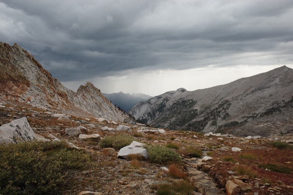 ChallengingDeadman Canyon Loop49 mi · 1.3 days · At the trailheadA six-day traverse from Lodgepole to Deadman Canyon’s granite headwall
 ModerateTokopah Falls Trail3.8 mi · 2.3 hr · At the trailheadFollow the Marble Fork to a 1,200-foot granite cascade
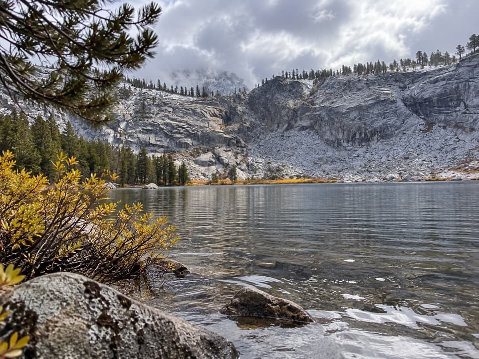 ChallengingTwin Lakes Trail13.6 mi · 8 hr · At the trailheadWorth the long pine climb for two quiet high Sierra lakes.
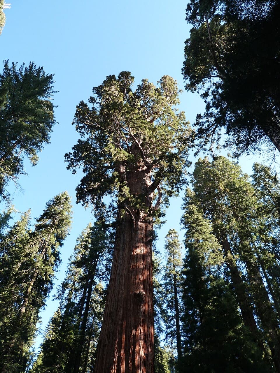 ModerateLodgepole–Sherman Tree Trail2.8 mi · 3.5 hr · 0.2 mi awayA 2.8-mile walk through sequoias to General Sherman Tree.
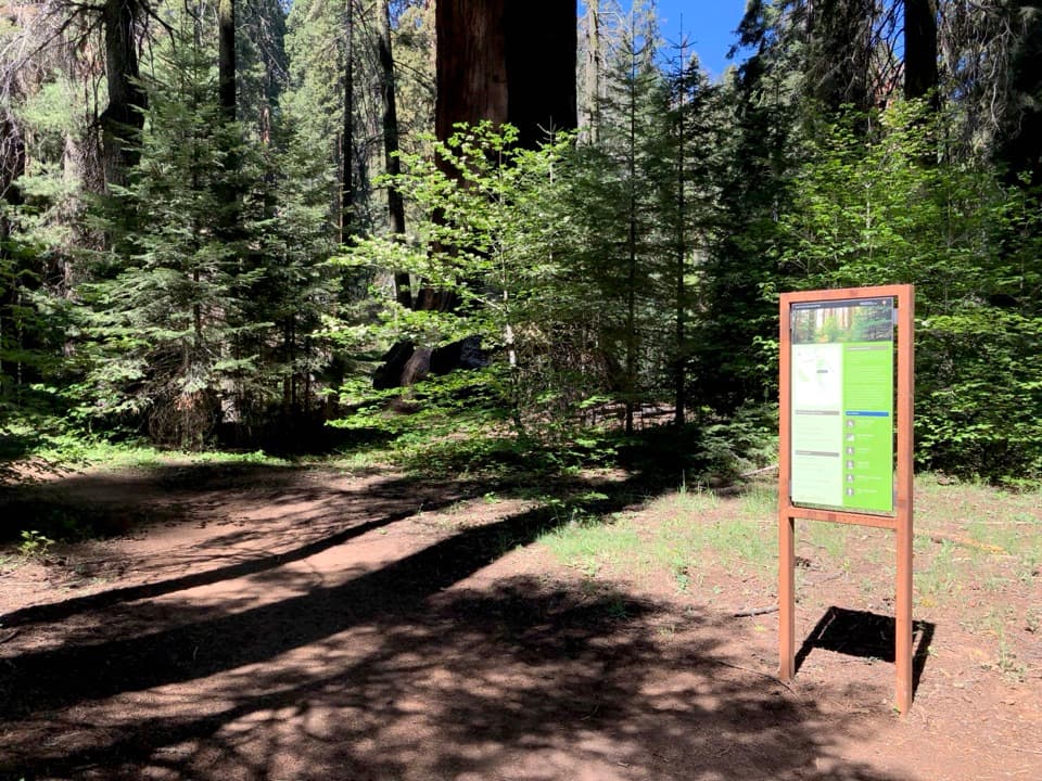 ChallengingAlta Winter Trail6.2 mi · 7 hr · 0.8 mi awayA winter ridge drops into Giant Forest's giant sequoias.
 ModerateLong Meadow Loop2.8 mi · 1.5 hr · 0.8 mi awayA quiet loop around a wet meadow where wildlife is the point.
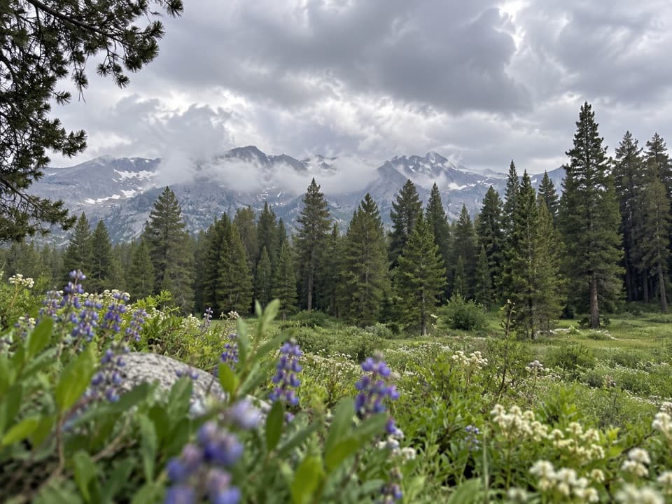 ChallengingAlta Meadow Trail13.1 mi · 7.5 hr · 0.8 mi awayA hard climb ends in a meadow beneath the Great Western Divide.
 ChallengingLakes Trail to Pear Lake12.8 mi · 7.5 hr · 0.8 mi awayFrom forest switchbacks to the glacial bowl around Pear Lake.
 Campground · 0.2 mi awayLodgepole CampgroundCamp beside the Marble Fork, with a shuttle to Giant Forest.
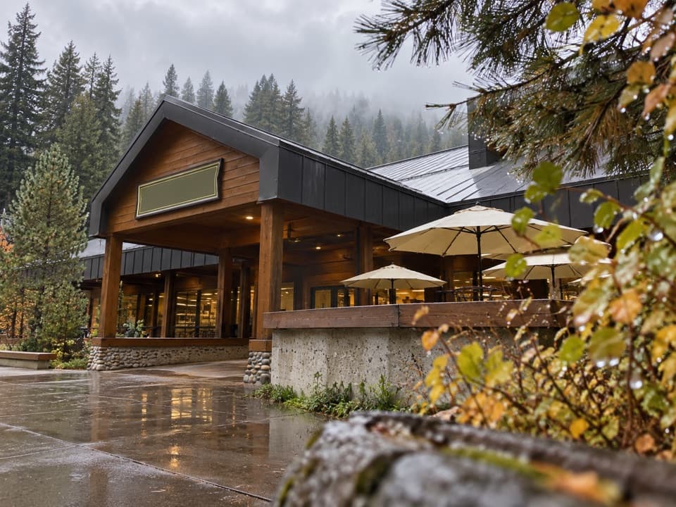 Store · 0.5 mi awayLodgepole Market CenterA high-country supply stop with groceries, a grill, showers, and laundry.
 Visitor center · 0.5 mi awayLodgepole Visitor CenterGet oriented before the big trees, with exhibits that travel by sound.
 Picnic area · 0.7 mi awayLodgepole Picnic AreaA shaded riverside picnic with Lodgepole's village services close by.
 Picnic area · 0.9 mi awayWolverton Picnic and Snowplay AreaA meadow picnic spot with winter snowplay when conditions allow.
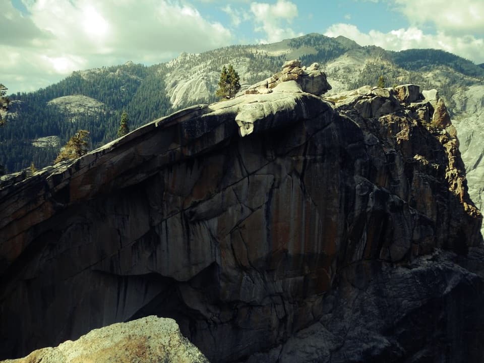 Sight · 1.3 mi awayThe Watchtower ViewpointA long climb pays off with Tokopah Falls far below.
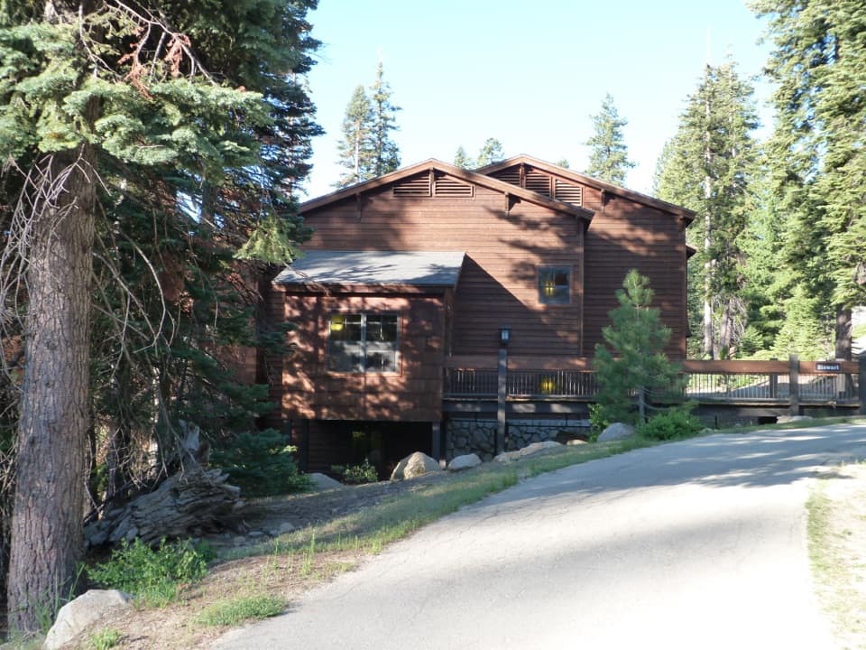 Lodging · 1.6 mi awayWuksachi LodgeA wooded, in-park base with meals and starry skies.
 Sight · 1.7 mi awayTokopah FallsA granite canyon walk ends at a 1,200-foot waterfall.
Parkwolf’s Sequoia ranking
The audio tour guide for the drive, plus offline maps, trails, and wildlife heatmaps for when the signal drops.




