Pear Lake in Sequoia National Park

Sight · Sequoia National Park

Pear Lake

A long climb to a glacially carved basin below Alta Peak.

Photo: CC BY 2.0
Type
Sight
Nearest trail
3.1 mi
  • Campground
  • Restrooms
  • #20 of 45 sights

Hear the audio tour

Wolverton Meadow and Lakes Trail

Overview

About Pear Lake

Why stop

  • An alpine lake in a stark granite basin below Alta Peak

Heads up

  • A long, strenuous hike with substantial climbing
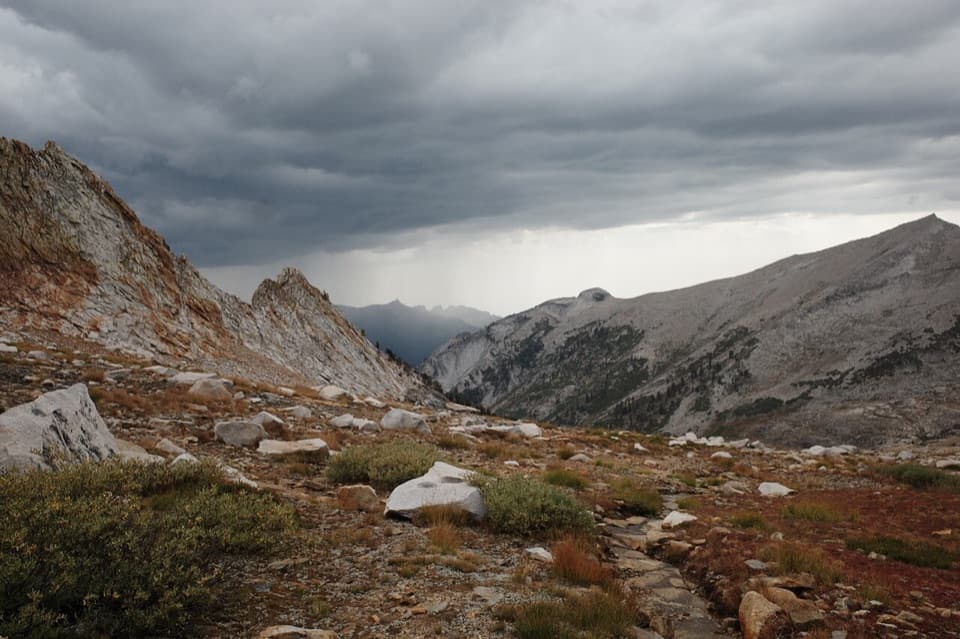
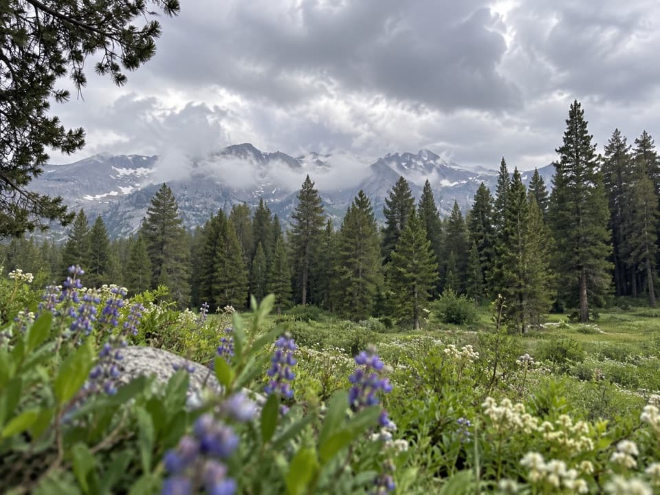
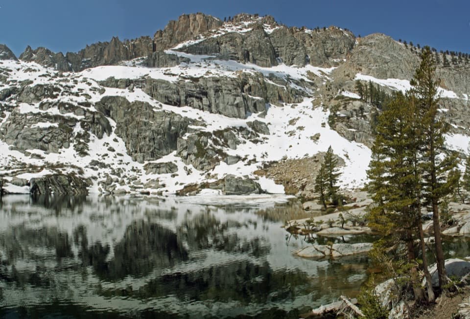
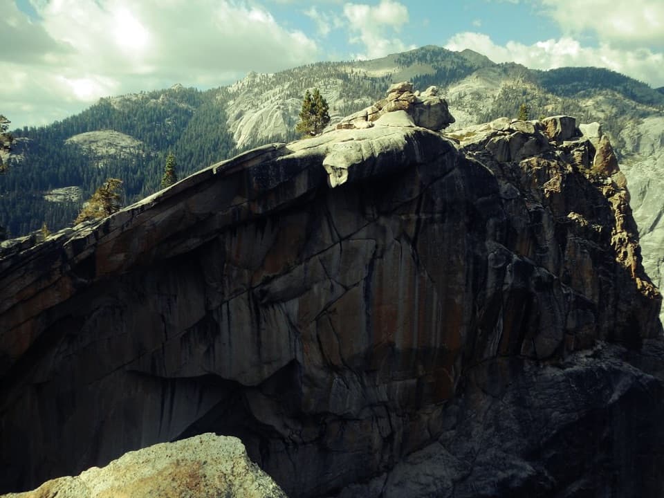
Pear Lake is a high Sierra alpine lake in a glacially carved granite basin below Alta Peak. It is the farthest of the Lakes Trail lakes from Wolverton, and the summer hike is roughly 12 to 13 miles round trip. Save it for a full hiking day or an overnight; this is not a quick stop from the road. The draw is the dark water tucked under a stark, open granite cirque.
Parkwolf’s verdictThe payoff comes after a long climb

Map

Where it is

Loading the Sequoia map
Full map
SightPear Lake36.60285, -118.66774
Keep this map with you offline in the Parkwolf app

Plan your stop

Before you go

8 active Sequoia alerts

  • CautionStage 1 fire restrictionsStage 1 fire restrictions are in effect due to high fire danger and catastrophic-wildfire risk; the restrictions reduce the possibility of accidental human-caused fires that could threaten visitors…Official details
  • ClosureGrant Grove trails and areas closed for prescribed burnSome trails and areas around Grant Grove and the General Grant Tree are closed for safety during a prescribed burn and until they are cleared of hazards.Official details

See all 8 alerts
A park ranger sits on a dash-mounted phone, talking, as Parkwolf’s Tour Guide plays “Army Cutworm Moths: A Grizzly Bear Buffet” on Grand Loop Road below Dunraven Pass in Yellowstone
Parkwolf Tour GuideThe highest, rockiest slopes around here are a summer buffet for grizzly bears.

Sequoia Tour Guide

Your drive to Pear Lake, narrated.

Parkwolf is a GPS audio tour guide for Sequoia National Park. As you drive, it chimes in with what’s ahead: hidden gems, upcoming stops, history, geology, and wildlife, right through your car’s speakers.

See the Sequoia audio tour

Recorded for this place

Wolverton Meadow and Lakes Trail
0:00 / 0:28
“Wolverton is coming up, with picnic tables beside a wetland meadow. It's a good lunch stop without committing to the big hikes that start here.”

Plays as you drive up to Pear Lake in the Parkwolf Sequoia Tour Guide.

More stories near here in the app

  • Lodgepole and Tokopah Falls
  • Lodgepole Village
  • The Red Plant Without Chlorophyll
  • General Sherman Tree and Congress Trail
  • 71 audio storiesacross Sequoia’s roads, triggered by GPS as you drive
  • Wildlife heatmapsfor Black Bear, Mountain Lion, Bobcat, and 13 more
  • Works offlinemaps, 99 trails, 68 places, and audio download before you lose signal
  • CarPlay readysimple controls built for the drive
★★★★★
“…The kids and my husband and I all agree that the narration really added to our experience driving through the parks. We learned so much about the history and the flora & fauna.”
JessestblondeApp Store review
Download Parkwolf on the App StoreGet Parkwolf on Google Play

4.7 from 8,600+ ratings

Guide

More about Pear Lake

Take in the lakes along the wayThe route starts at Wolverton and passes Heather Lake and Emerald Lake before climbing into…

The route starts at Wolverton and passes Heather Lake and Emerald Lake before climbing into more open, rocky country around Pear Lake. The Watchtower option adds a ridge walk with views over the Marble Fork valley and Tokopah Falls. Snow or ice makes that section dangerous, and it closes in winter; plan around the Hump route when winter travel is open.

Look closely at the basinA tarn is a lake left in a bowl carved by glaciers.

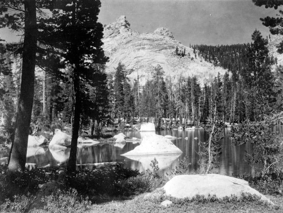
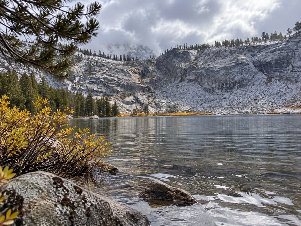
A tarn is a lake left in a bowl carved by glaciers. Pear Lake sits in just that kind of granite cirque, with steep bare rock rising around the water. Foxtail pines cling to the high, rocky slopes. They are rare, long-lived pines of the treeline, related to bristlecone pines.

A stone hut nearbyThe Pear Lake Ski Hut stands near the lake basin.

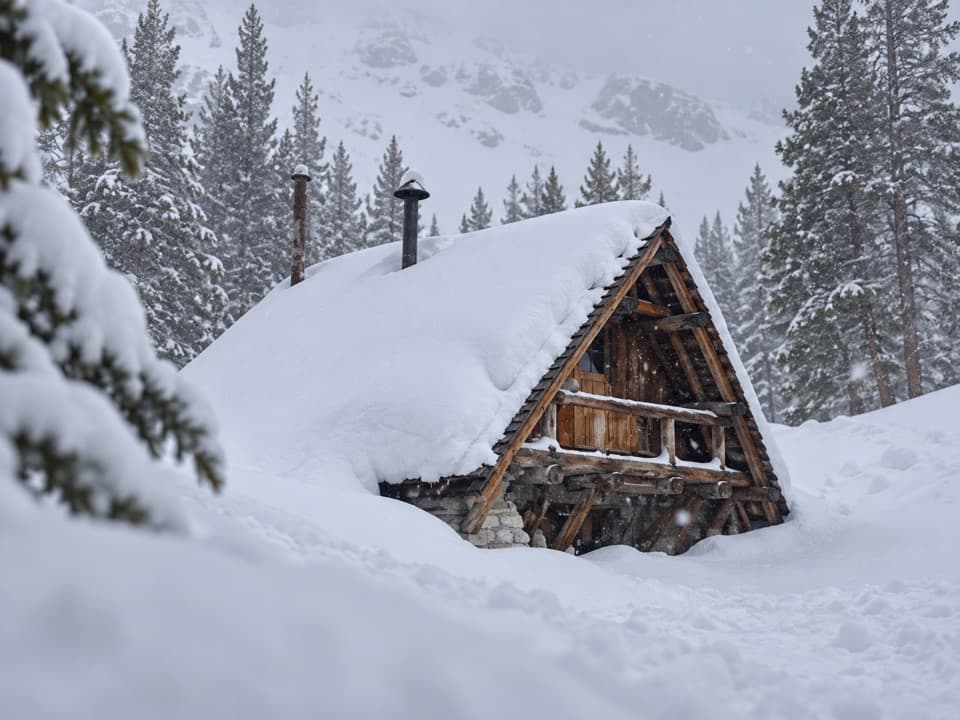
The Pear Lake Ski Hut stands near the lake basin. The National Park Service built the 17-by-30-foot stone hut in 1939–1941, near timberline at about 9,200 feet. Its granite masonry, pine-log rafters and steep shake roof were designed to sit naturally among the surrounding rock. The building is listed on the National Register of Historic Places.

Plan for a backcountry visitThere is no food service at the lake, so bring what you need for the long hike and return.

There is no food service at the lake, so bring what you need for the long hike and return. The camp area has backcountry sites and a pit latrine; overnight trips require a wilderness permit. Wolverton has flush restrooms at the trailhead before you set out.

Frame the lake against the graniteThe rocky shore makes a useful foreground for the pale basin and Alta Peak above it.

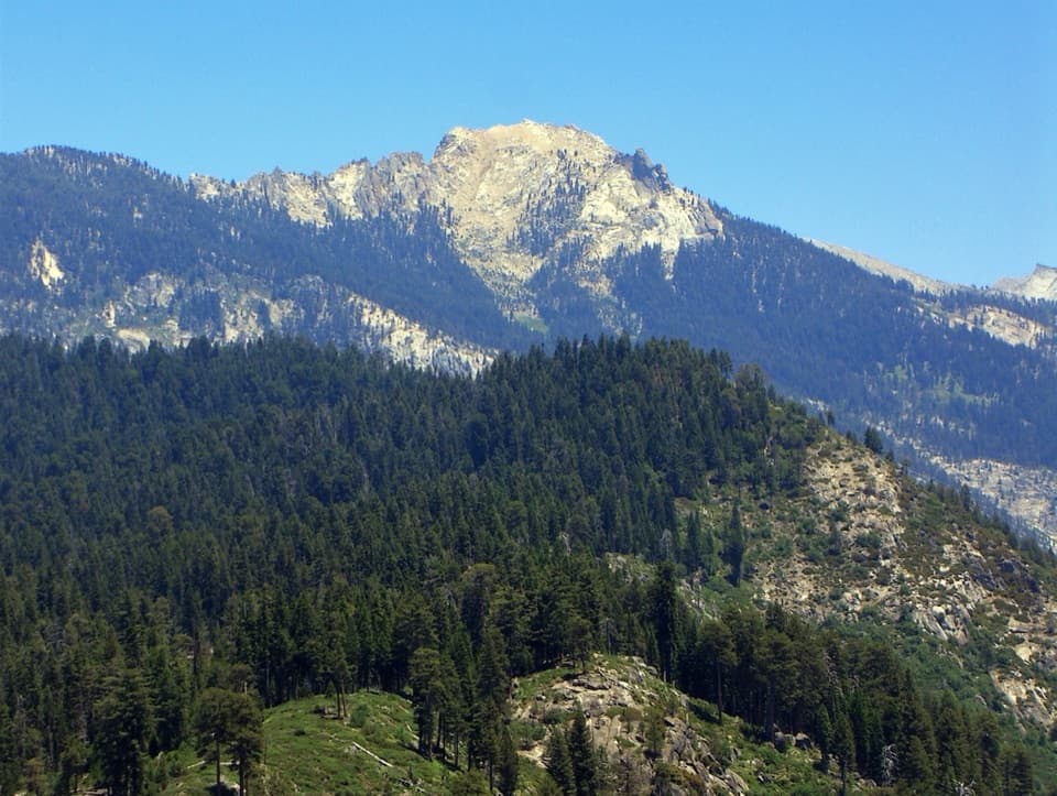
The rocky shore makes a useful foreground for the pale basin and Alta Peak above it. Keep a little shoreline in the frame so the water has scale against the broad granite walls.

Wildlife

Wildlife in Sequoia

All Sequoia wildlife maps

Sighting maps show where each species has been reported across Sequoia. Wildlife moves, so no sighting is guaranteed.

Keep exploring

Near Pear Lake

See it all on the map

Trails nearby

More stops nearby

Parkwolf’s Sequoia ranking

Top sights in Sequoia

All 68 places
  1. 1General Sherman TreeSight
  2. 2Moro RockSight
  3. 3Crystal CaveSight
  4. 4Crescent MeadowSight
  5. 5Tokopah FallsSight
  6. 6Tunnel LogSight

Take Parkwolf to Sequoia.

The audio tour guide for the drive, plus offline maps, trails, and wildlife heatmaps for when the signal drops.

4.7 from 8,600+ ratings

Download Parkwolf on the App StoreGet Parkwolf on Google Play