Foothills Picnic Area in Sequoia National Park

Picnic area · Sequoia National Park

Foothills Picnic Area

A handy lunch stop just inside the Ash Mountain entrance.

Type
Picnic area
Nearest trail
2.2 mi
Audio stories
6 nearby
  • Picnic tables
  • Parking

Hear the audio tour

Foothills Visitor Center

Overview

About Foothills Picnic Area

Why stop

  • A practical meal break on the drive into higher country.

Heads up

  • Hot, dry summer conditions can make an outdoor meal uncomfortable.

Map

Where it is

Loading the Sequoia map
Full map
Picnic areaFoothills Picnic Area36.49122, -118.82615
Keep this map with you offline in the Parkwolf app

Plan your stop

Before you go

Tables, water and access

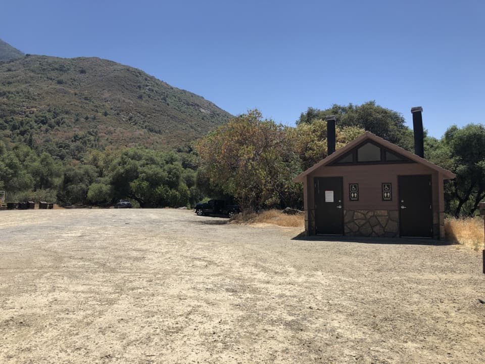
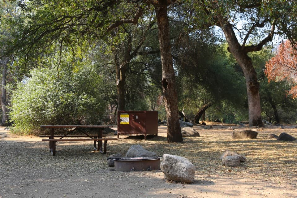
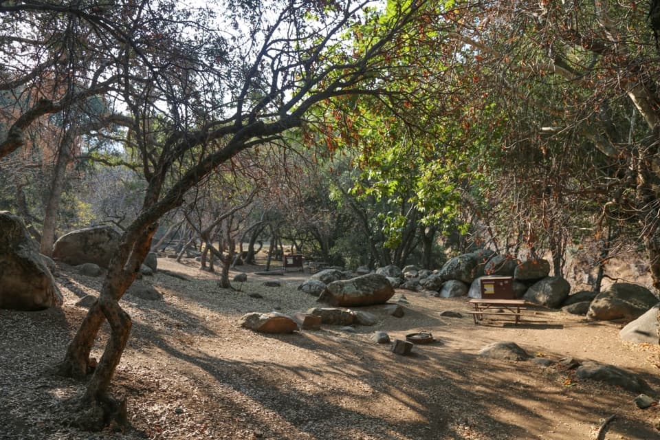
Expect picnic tables, potable water, animal-safe food storage, car and bus/RV parking, and trash and recycling receptacles. There is a wide accessible parking space and an extended picnic table, though the table area is uneven, hard-packed dirt. Public flush restrooms and a drinking fountain are across the highway at the visitor center, not at the picnic area, so bring a meal. Summer fire restrictions are common in the foothills; check current rules before using a stove or smoking. The picnic areas are not plowed and may be inaccessible when snow is on the ground; bear activity can also lead to closures.

8 active Sequoia alerts

  • InfoGenerals Highway weekday hazard-tree removal delaysMentions Generals Highway, referenced in this guideExpect weekday delays of up to 30 minutes total on Generals Highway between Highway 180 and Giant Forest, 8 a.m.–5 p.m., while crews remove hazard trees; the highway remains open.Official details
  • CautionStage 1 fire restrictionsStage 1 fire restrictions are in effect due to high fire danger and catastrophic-wildfire risk; the restrictions reduce the possibility of accidental human-caused fires that could threaten visitors…Official details
See all 8 alerts
A park ranger sits on a dash-mounted phone, talking, as Parkwolf’s Tour Guide plays “Army Cutworm Moths: A Grizzly Bear Buffet” on Grand Loop Road below Dunraven Pass in Yellowstone
Parkwolf Tour GuideThe highest, rockiest slopes around here are a summer buffet for grizzly bears.

Sequoia Tour Guide

Your drive to Foothills Picnic Area, narrated.

Parkwolf is a GPS audio tour guide for Sequoia National Park. As you drive, it chimes in with what’s ahead: hidden gems, upcoming stops, history, geology, and wildlife, right through your car’s speakers.

See the Sequoia audio tour

Recorded for this place

Foothills Visitor Center
0:00 / 0:29
“You're nearing Foothills Visitor Center, a useful quick stop for a map and ranger advice.”

Plays as you drive up to Foothills Picnic Area in the Parkwolf Sequoia Tour Guide.

More stories near here in the app

  • Ash Mountain Historic Entrance Sign
  • The Woodpeckers' Pantry
  • The Living Patches on Rock
  • A Lizard's Blue Signal
  • 71 audio storiesacross Sequoia’s roads, triggered by GPS as you drive
  • Wildlife heatmapsfor Black Bear, Mountain Lion, Bobcat, and 13 more
  • Works offlinemaps, 99 trails, 68 places, and audio download before you lose signal
  • CarPlay readysimple controls built for the drive
★★★★★
“…The kids and my husband and I all agree that the narration really added to our experience driving through the parks. We learned so much about the history and the flora & fauna.”
JessestblondeApp Store review
Download Parkwolf on the App StoreGet Parkwolf on Google Play

4.7 from 8,600+ ratings

Guide

More about Foothills Picnic Area

A practical meal breakThis small roadside picnic area sits across Generals Highway from the Foothills Visitor Center,…

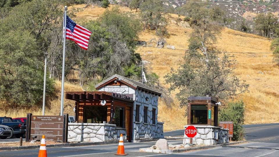
This small roadside picnic area sits across Generals Highway from the Foothills Visitor Center, just inside Sequoia’s Ash Mountain entrance. It is a useful place to eat before climbing into the higher country or on the way back down. The low foothills are generally more comfortable in winter and spring; summer is hot and dry.

A hillside shaped by fireThe slope behind nearby administrative buildings was burned during the 2021 KNP Complex Fire.

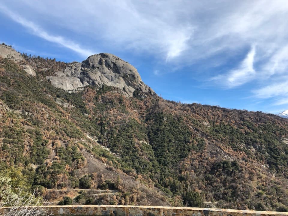
The slope behind nearby administrative buildings was burned during the 2021 KNP Complex Fire. Lightning ignited three fires in Sequoia on September 9; two joined by mid-month to form the complex. The effects vary from standing dead trees and bare ground to grasses and live green trees, showing how unevenly fire changes a hillside.

Wildlife

Wildlife in Sequoia

All Sequoia wildlife maps

Sighting maps show where each species has been reported across Sequoia. Wildlife moves, so no sighting is guaranteed.

Keep exploring

Near Foothills Picnic Area

See it all on the map

Trails nearby

More stops nearby

Parkwolf’s Sequoia ranking

Top sights in Sequoia

All 68 places
  1. 1General Sherman TreeSight
  2. 2Moro RockSight
  3. 3Crystal CaveSight
  4. 4Crescent MeadowSight
  5. 5Tokopah FallsSight
  6. 6Tunnel LogSight

Take Parkwolf to Sequoia.

The audio tour guide for the drive, plus offline maps, trails, and wildlife heatmaps for when the signal drops.

4.7 from 8,600+ ratings

Download Parkwolf on the App StoreGet Parkwolf on Google Play