Parking
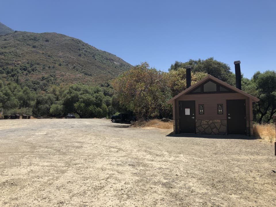
Park at North Fork Trailhead, at the end of North Fork Drive off Highway 198. This is the North Fork access for the lower Colony Mill route.

Sequoia National Park, CA
An 18-mile out-and-back to a marble ledge above Marble Falls.
Overview
Map & elevation
Plan your hike

The highest, rockiest slopes around here are a summer buffet for grizzly bears.
Sequoia Tour Guide
Parkwolf is a GPS audio tour guide for Sequoia National Park. As you drive, it chimes in with what’s ahead: hidden gems, upcoming stops, history, geology, and wildlife, right through your car’s speakers.
See the Sequoia audio tourMore stories near here in the app
“…The kids and my husband and I all agree that the narration really added to our experience driving through the parks. We learned so much about the history and the flora & fauna.”


Trail guide
Lower Colony Mill Trail to Admiration Point is an 18.1-mile out-and-back from North Fork Trailhead along the lower Colony Mill corridor to a marble outcrop above Deep Canyon. Plan on around 10 to 11 hours and close to 3,900 feet of climbing. Some route estimates are about a mile shorter; use the mapped line's longer figure to plan. This is a hard day for hikers who want the old road and canyon view, not a quick overlook stop.
Start at North Fork Trailhead, at the end of North Fork Drive. The route climbs from the North Fork country, reaches the old Colony Mill corridor, then drops to Admiration Point before the return climb. Trails from this trailhead are lightly maintained, and poison oak is common along Colony Mill. Take a map and allow time for route-finding; this isn't a groomed frontcountry walk.
Admiration Point is a pale marble ledge above Deep Canyon. Marble Falls lies below, with Moro Rock beyond. A cable railing marks the exposed edge, so stay behind it. For a photo, include the pale rock or cable in the foreground with the canyon and falls beyond; it gives the drop some scale.
The Kaweah Cooperative Colony built Colony Mill Road between 1886 and 1890 to reach sequoia timber in Giant Forest. Sequoia became a national park in 1890, ending the colony's timber plan; the park later extended the road toward Giant Forest. This route preserves a piece of that early access story.
Wildlife
 691 sightingsBlack BearMost seen around 6 PMSighting map
 17 sightingsMountain LionMost seen around 6 AMSighting map
 18 sightingsBobcatMost seen around 7 PMSighting map
 24 sightingsCoyoteMost seen around 7 PMSighting map
 15 sightingsGolden EagleMost seen around 11 AMSighting map
 20 sightingsSpotted OwlMost seen around 7 PMSighting map
Sighting maps show where each species has been reported across Sequoia. Wildlife moves, so no sighting is guaranteed.
Keep exploring
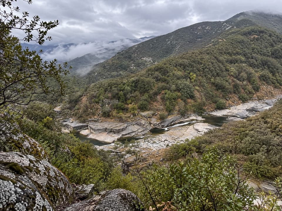 ChallengingNorth Fork Trail13.5 mi · 10 hr · 0.4 mi awayA rugged one-way climb along the Kaweah to Hidden Spring.
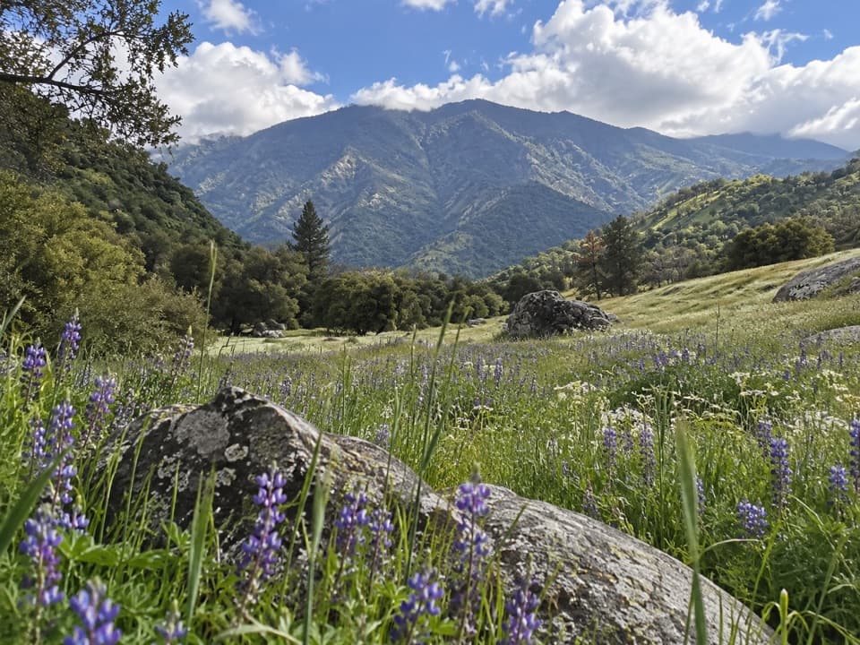 EasyYucca Creek Trail1.8 mi · 45 min · 0.4 mi awayA short, rugged foothill walk beyond the sequoia groves.
 ModerateCrystal Cave Trail1 mi · 45 min · 4.7 mi awayA steep paved half-mile to a marble cave entrance.
 ModerateMarble Falls Trail6.2 mi · 4 hr · 5.2 mi awayA foothill climb to a waterfall spilling over white marble.
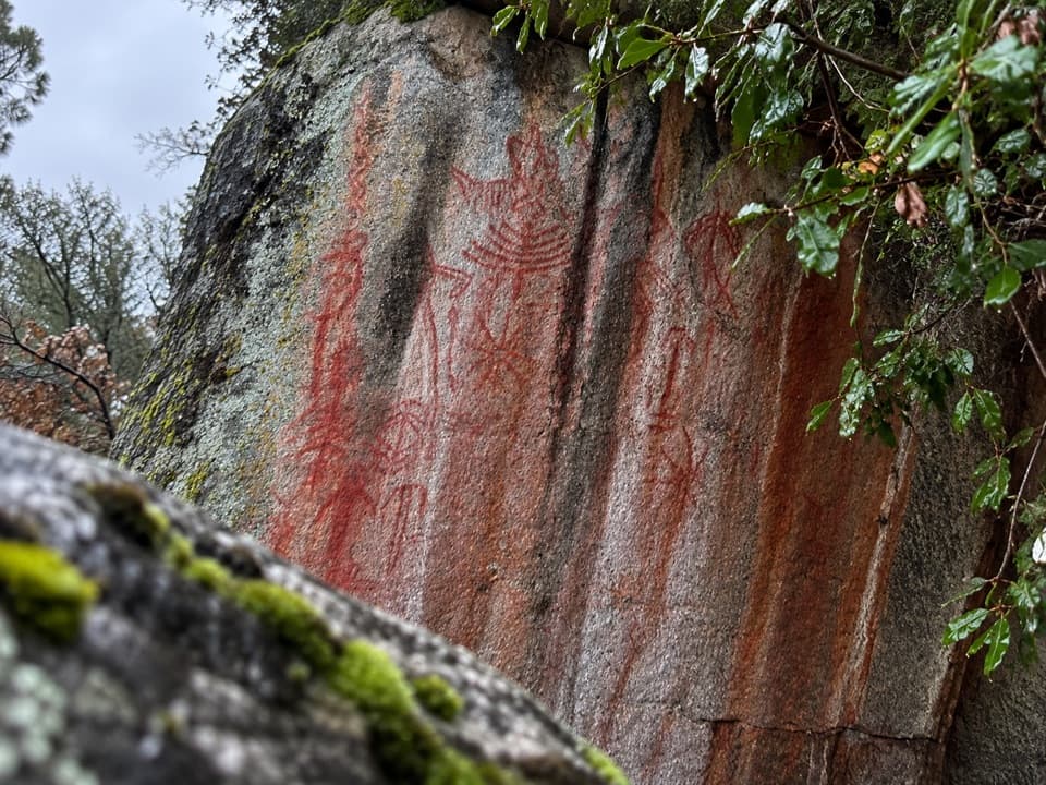 ModeratePotwisha–Hospital Rock Trail4.6 mi · 2.8 hr · 5.3 mi awayA foothill connector to Hospital Rock’s pictographs and mortars.
 EasyBeetle Rock Trail0.2 mi · 15 min · 6.6 mi awayA short approach to westward views and a final granite climb.
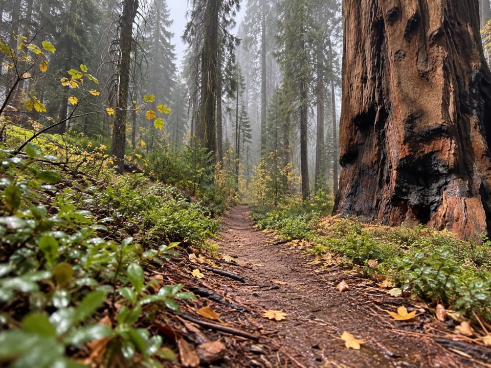 ModerateBear Hill Trail1.7 mi · 1.5 hr · 6.7 mi awayA steep first climb leads through giant sequoias to Hanging Rock.
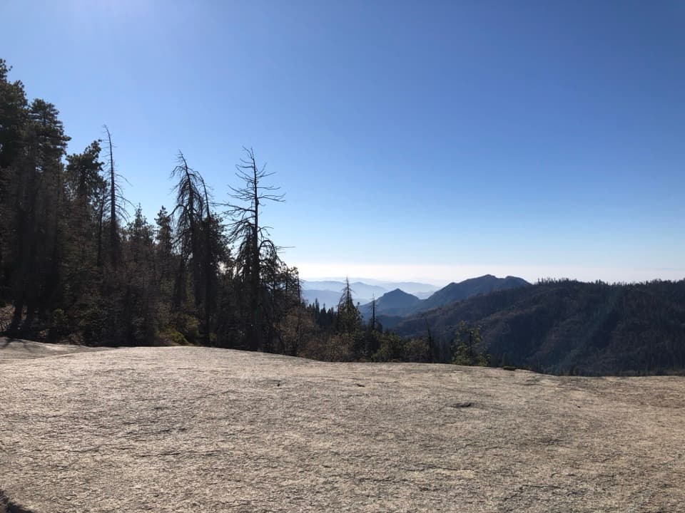 EasySunset Rock Trail1.4 mi · 1.5 hr · 6.8 mi awayA granite sunset perch over the forested Kaweah canyon
 Sight · 4.7 mi awaySequoia National Park Historic Entrance SignA giant carved welcome sign with a complicated story.
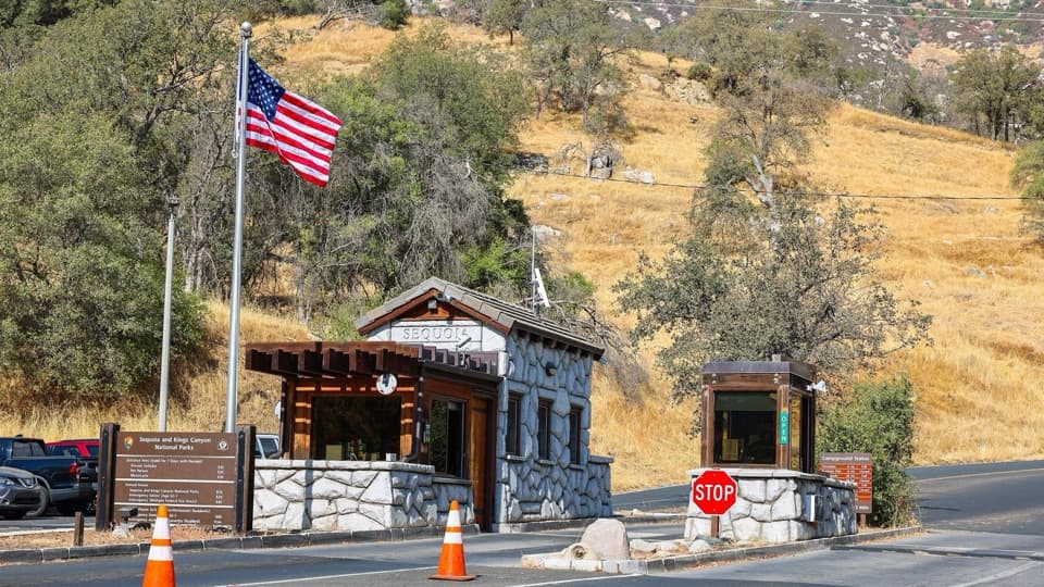 Entrance station · 4.8 mi awayAsh Mountain Entrance StationGet your entry settled before the winding climb to the giant sequoias.
 Sight · 4.9 mi awayCrystal CaveA guided marble cave tour, reached by a steep half-mile walk.
 Picnic area · 4.9 mi awayFoothills Picnic AreaA handy lunch stop just inside the Ash Mountain entrance.
 Visitor center · 5 mi awayFoothills Visitor CenterA useful first stop for foothills context and ranger advice.
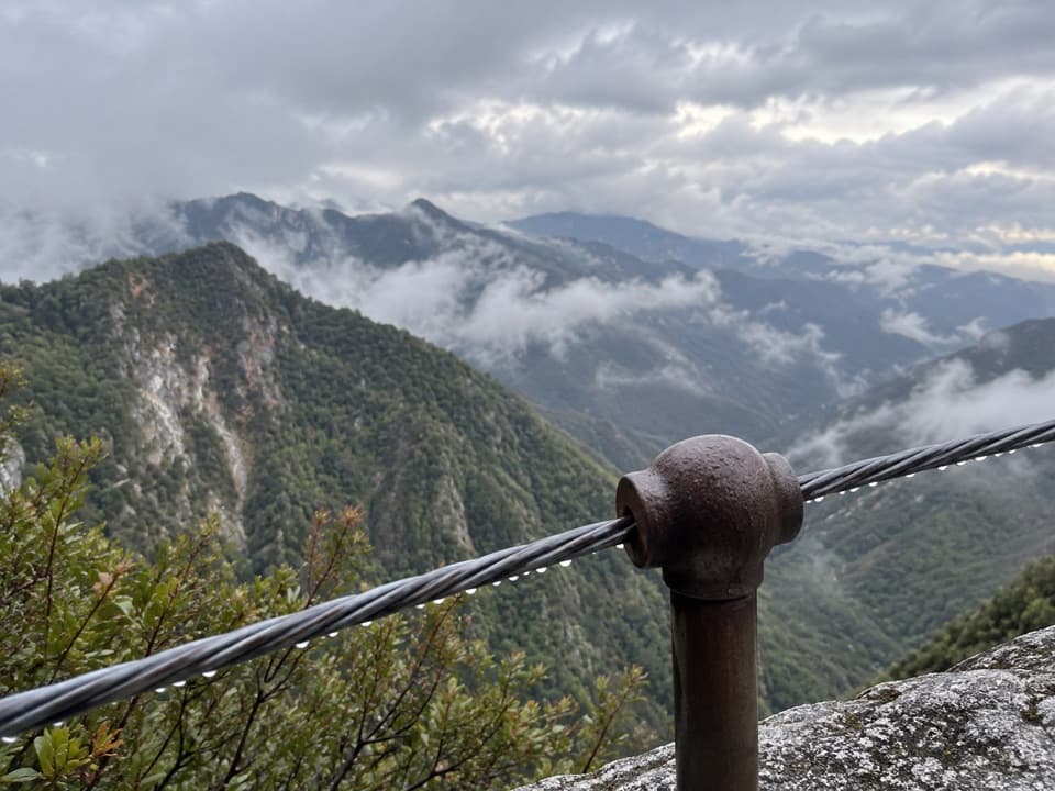 Sight · 5.1 mi awayAdmiration PointA cable-guarded marble ledge above Marble Falls and Deep Canyon.
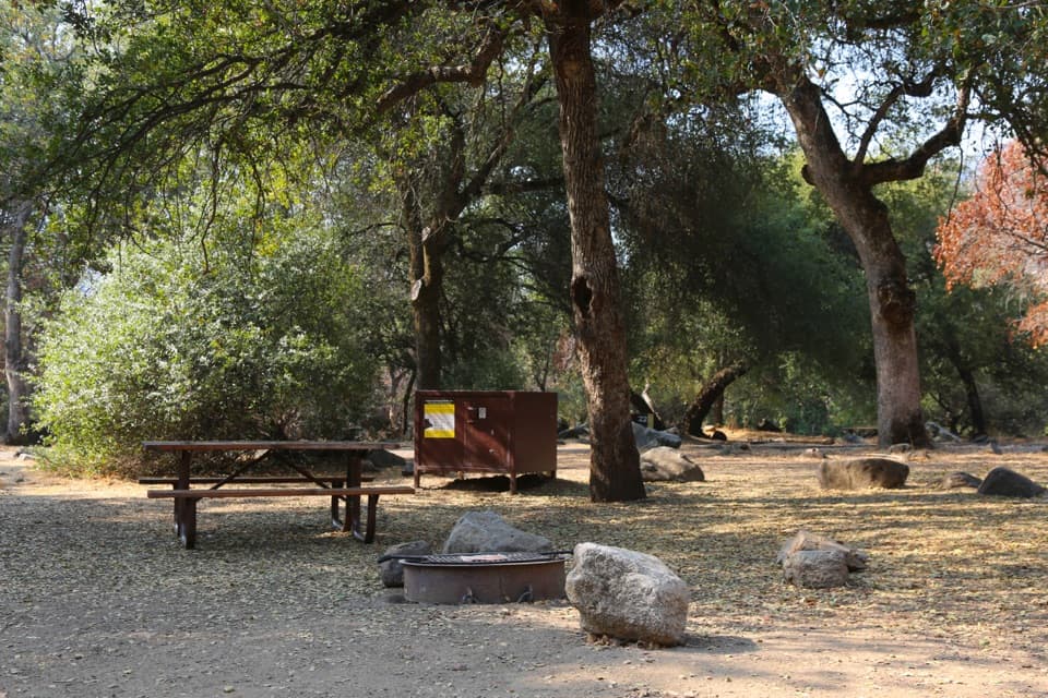 Campground · 5.2 mi awayPotwisha CampgroundA convenient foothills base; the big sequoias are a drive away.
 Sight · 5.3 mi awayPotwisha Day Use AreaRiver access and overflow parking for Marble Falls hikers.
Parkwolf’s Sequoia ranking

The audio tour guide for the drive, plus offline maps, trails, and wildlife heatmaps for when the signal drops.





