Washington Tree Trail in Sequoia National Park

Sequoia National Park, CA

Washington Tree Trail

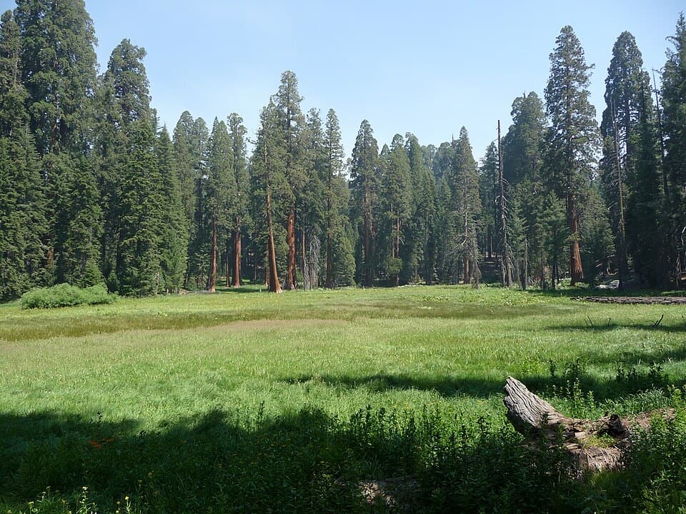
A short forest walk to a sequoia with a turbulent past.

Photo: Wikimedia Commons
Length
1mi
Time
45min
Elev. change
180ft
Difficulty
Easy
  • No dogs
  • High point 6,946 ft

Hear the audio tour

Pinewood Picnic Area

Overview

About Washington Tree Trail

Why go

  • A short connector passes the Booker T. Washington Tree
  • Shaded dirt tread beneath the Giant Forest sequoias

Heads up

  • Point-to-point junction access needs a return or another connector
  • No dedicated lot was confirmed at the Alta Trail junction

Map & elevation

The route

Loading the Sequoia map
Full map
Elevation6,766–6,946 ft
TrailheadAlta Trail junction at Washington Tree Trail36.56968, -118.76055
Keep this map with you offline in the Parkwolf app

Plan your hike

Before you go

Parking

No dedicated trailhead lot is documented at the Alta Trail junction where this segment starts. Plan the one-way walk through the Giant Forest trail network, or return on the same tread; for the tree alone, use the separate Moro Rock Trail approach from Crescent Meadow/Moro Rock Road. Giant Forest Museum restrooms are off-route.

Safety

Pets are prohibited on trails in Sequoia and Kings Canyon National Parks.

8 active Sequoia alerts

  • CautionStage 1 fire restrictionsStage 1 fire restrictions are in effect due to high fire danger and catastrophic-wildfire risk; the restrictions reduce the possibility of accidental human-caused fires that could threaten visitors…Official details
  • ClosureGrant Grove trails and areas closed for prescribed burnSome trails and areas around Grant Grove and the General Grant Tree are closed for safety during a prescribed burn and until they are cleared of hazards.Official details
See all 8 alerts
A park ranger sits on a dash-mounted phone, talking, as Parkwolf’s Tour Guide plays “Army Cutworm Moths: A Grizzly Bear Buffet” on Grand Loop Road below Dunraven Pass in Yellowstone
Parkwolf Tour GuideThe highest, rockiest slopes around here are a summer buffet for grizzly bears.

Sequoia Tour Guide

Your drive to Washington Tree Trail, narrated.

Parkwolf is a GPS audio tour guide for Sequoia National Park. As you drive, it chimes in with what’s ahead: hidden gems, upcoming stops, history, geology, and wildlife, right through your car’s speakers.

See the Sequoia audio tour

Recorded for this area

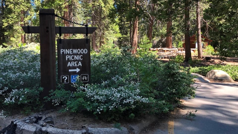
Pinewood Picnic Area
0:00 / 0:18
“Pinewood Picnic Area is coming up, a shaded lunch stop between Giant Forest and Lodgepole, with drinking water and tables under the trees. Bring a meal if you'd like a proper break between sightseeing stops.”

Plays on the road 0.4 mi from the trailhead in the Parkwolf Sequoia Tour Guide.

More stories near here in the app

  • Giant Forest Museum and Round Meadow
  • Auto Log and the Washington and Young Trees
  • Tunnel Log
  • Crescent Meadow and Tharp’s Log
  • 71 audio storiesacross Sequoia’s roads, triggered by GPS as you drive
  • Wildlife heatmapsfor Black Bear, Mountain Lion, Bobcat, and 13 more
  • Works offlinemaps, 99 trails, 68 places, and audio download before you lose signal
  • CarPlay readysimple controls built for the drive
★★★★★
“…The kids and my husband and I all agree that the narration really added to our experience driving through the parks. We learned so much about the history and the flora & fauna.”
JessestblondeApp Store review
Download Parkwolf on the App StoreGet Parkwolf on Google Play

4.7 from 8,600+ ratings

Trail guide

Hiking Washington Tree Trail

The short connectorWashington Tree Trail is a 1.

Washington Tree Trail is a 1.04-mile point-to-point walk, one way, through Giant Forest from its Alta Trail junction to the Giant Forest Loop and Huckleberry junction. It passes the Booker T. Washington Tree, rises gently beneath the sequoias, then descends toward the southern junction. Allow about 45 minutes for this segment. Walking back the same way makes it about 2.08 miles round trip; you can also continue on connecting trails for a longer outing.

Under the sequoiasThe tread is dirt singletrack.

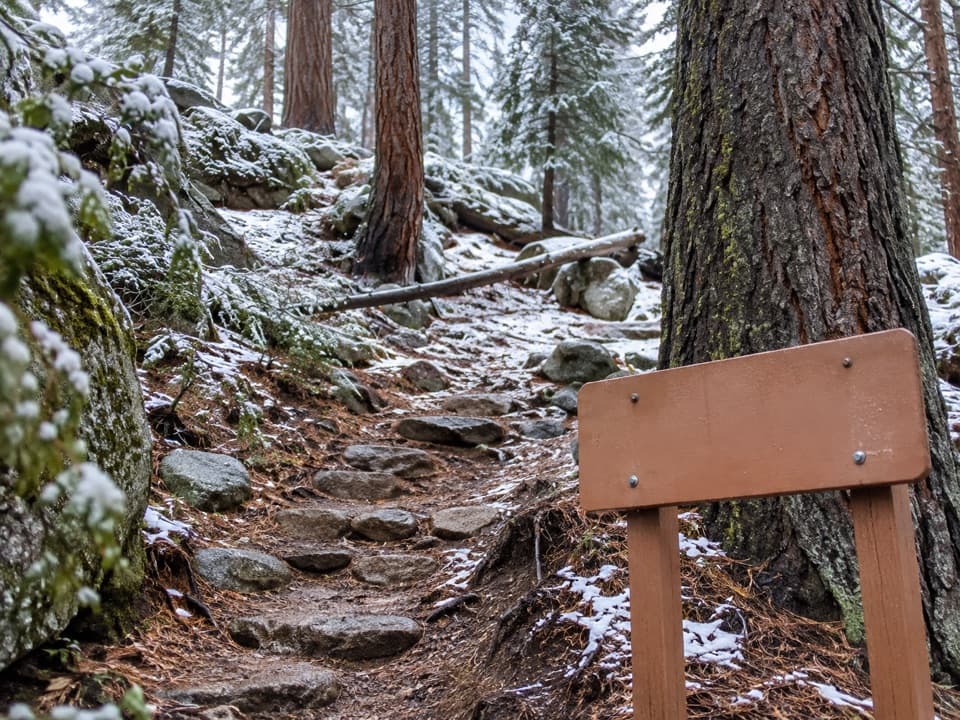
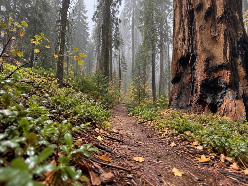
The tread is dirt singletrack. It climbs gently at first, levels after roughly a third of a mile, and stays shaded under the grove. Branches lead left toward Bears Bathtub around the 0.4-mile point and Circle Meadow Loop around 0.7 mile. Stay on the main path if you want the full Washington Tree connector; after Circle Meadow, it descends to the Giant Forest Loop and Huckleberry trails.

A tree with a long storyThe Booker T.

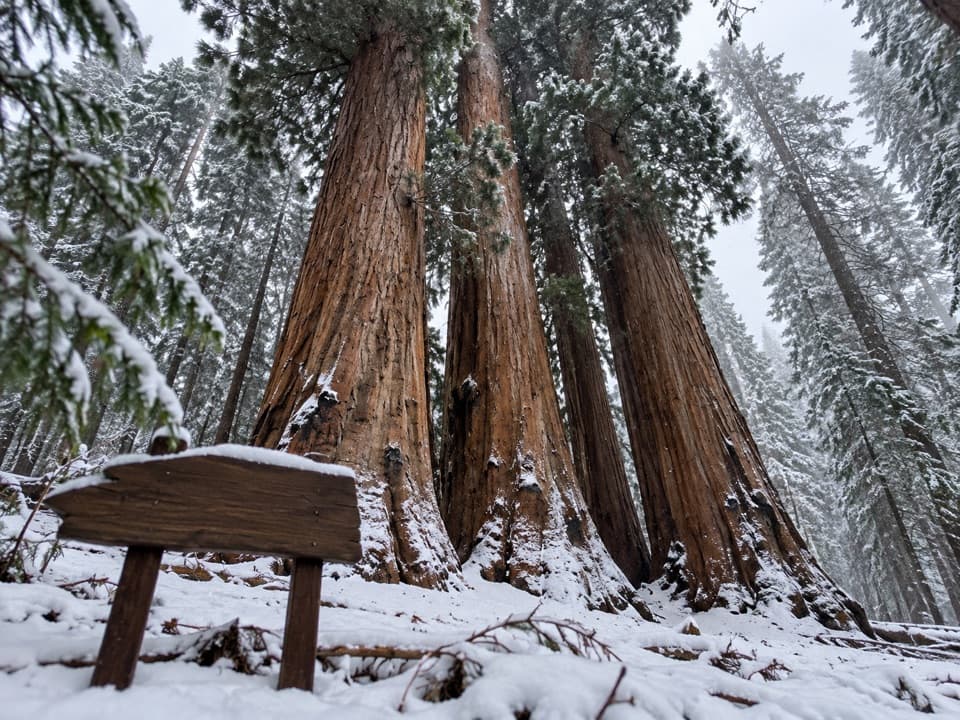
The Booker T. Washington Tree was named for the educator at the recommendation of Captain Charles Young, who served as Sequoia's superintendent in 1903. It was once the forest's second-largest sequoia. A lightning-caused fire damaged its crown in 2003, and a winter storm in 2005 broke away much more of it. Look up from near the base to take in the trunk and remaining crown; a little distance gives the tree more scale.

Access and returnThis is a trail-network connector, not a loop.

This is a trail-network connector, not a loop. No dedicated parking is documented at its Alta Trail start, so plan a return on the same path or connect to another Giant Forest route. For the tree alone, use the separate Moro Rock Trail approach from Crescent Meadow/Moro Rock Road. The nearest documented restrooms are at Giant Forest Museum, off-route. Pets are not allowed on park trails.

Wildlife

Wildlife in Sequoia

All Sequoia wildlife maps

Sighting maps show where each species has been reported across Sequoia. Wildlife moves, so no sighting is guaranteed.

Keep exploring

Near Washington Tree Trail

See it all on the map

Trails that start nearby

Places near the trailhead

Parkwolf’s Sequoia ranking

Top-rated trails in Sequoia

All 99 trails
  1. 1Congress TrailEasy · 2.7 mi
  2. 2General Sherman Tree TrailModerate · 1 mi
  3. 3Moro Rock TrailModerate · 0.5 mi
  4. 4High Sierra TrailChallenging · 48.9 mi
  5. 5Mount Whitney TrailChallenging · 22 mi
  6. 6Lakes Trail to Pear LakeChallenging · 12.8 mi

Take Parkwolf to Sequoia.

The audio tour guide for the drive, plus offline maps, trails, and wildlife heatmaps for when the signal drops.

4.7 from 8,600+ ratings

Download Parkwolf on the App StoreGet Parkwolf on Google Play