Parking
Park at Wolverton, at the end of Wolverton Road; the Lakes Trailhead starts in the parking area. Picnic tables and flush toilets are available there.

Sequoia National Park, CA
A steady climb to Great Western Divide views at a high pass
Overview
Panther Gap Trail is a 5.5-mile out-and-back from Wolverton, following the Lakes Trail to Panther Gap and returning the same way. Plan about 3 hours. The climb ends near 8,600 feet at a high pass with views of the Great Western Divide. If you are ready for steady uphill walking at elevation, it is a rewarding turnaround before the much longer climb toward Alta Peak.
 Parkwolf’s verdictIs this the hike for you?
Map & elevation
Plan your hike

The highest, rockiest slopes around here are a summer buffet for grizzly bears.
Sequoia Tour Guide
Parkwolf is a GPS audio tour guide for Sequoia National Park. As you drive, it chimes in with what’s ahead: hidden gems, upcoming stops, history, geology, and wildlife, right through your car’s speakers.
See the Sequoia audio tourRecorded for this area
Wolverton Meadow and Lakes Trail“Wolverton is coming up, with picnic tables beside a wetland meadow. It's a good lunch stop without committing to the big hikes that start here.”
Plays near this trailhead in the Parkwolf Sequoia Tour Guide.
More stories near here in the app
“…The kids and my husband and I all agree that the narration really added to our experience driving through the parks. We learned so much about the history and the flora & fauna.”


Trail guide
Start at the Lakes Trailhead and follow the Lakes Trail to its Panther Gap junction, then climb to the gap. The mapped corridor is about 2.75 miles each way. A separate 4-mile figure does not say whether it is one way or round trip; it is shorter than this complete mapped line, so plan on 5.5 miles for the return hike. The 7-mile Panther Winter Trail is a separate loop over Pear Lake, Panther, and Alta trails, not this out-and-back.
Expect a sustained uphill through dense forest, with steeper grades near the gap. At the pass, the view opens toward the Great Western Divide and Castle Rocks. A foreground tree helps give the distant granite ridgeline scale in a photo.
Snow can cover high trails and make them difficult to follow. The marked Panther Winter Trail is designed for skiing and snowshoeing; it follows a different loop. Check the park's current route guidance before setting out in winter or when snow remains on the trail.
The Lakes Trailhead is in the Wolverton parking area at the end of Wolverton Road. The lot has picnic tables and flush toilets. Pets are not allowed on park trails; service dogs may accompany their handlers. Overnight camping near Panther Gap requires a wilderness permit.
Wildlife
 691 sightingsBlack BearMost seen around 6 PMSighting map
 17 sightingsMountain LionMost seen around 6 AMSighting map
 18 sightingsBobcatMost seen around 7 PMSighting map
 24 sightingsCoyoteMost seen around 7 PMSighting map
 15 sightingsGolden EagleMost seen around 11 AMSighting map
 20 sightingsSpotted OwlMost seen around 7 PMSighting map
Sighting maps show where each species has been reported across Sequoia. Wildlife moves, so no sighting is guaranteed.
Keep exploring
 ChallengingLakes Trail to Pear Lake12.8 mi · 7.5 hr · At the trailheadFrom forest switchbacks to the glacial bowl around Pear Lake.
 ChallengingAlta Peak Trail13.6 mi · 9 hr · At the trailheadA full-day summit climb with a hands-on finish above the tree line.
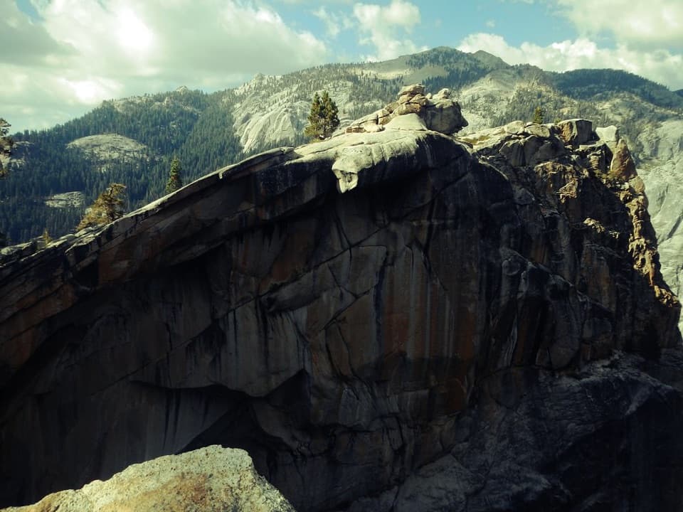 ChallengingWatchtower Trail7.7 mi · 6 hr · At the trailheadA long climb to the ridge above Tokopah Falls.
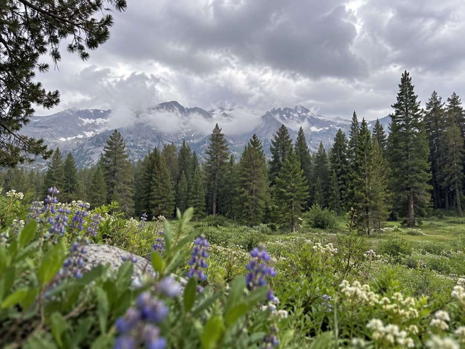 ChallengingAlta Meadow Trail13.1 mi · 7.5 hr · At the trailheadA hard climb ends in a meadow beneath the Great Western Divide.
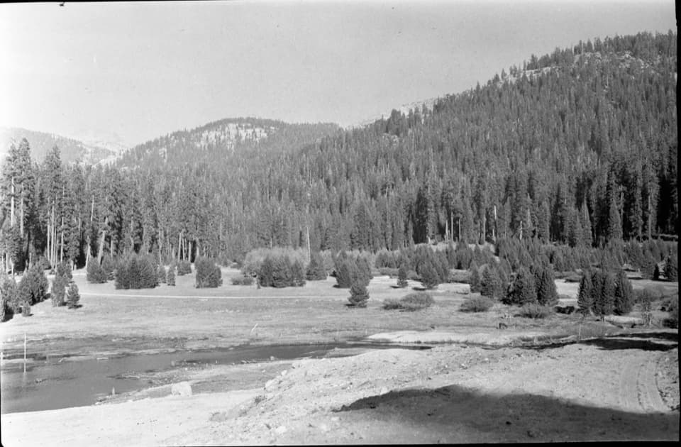 EasyWolverton Meadow Loop2.8 mi · 1.5 hr · At the trailheadAn easy wetland loop for streams, seasonal flowers and wildlife.
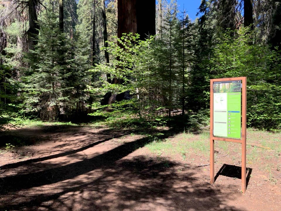 ChallengingAlta Winter Trail6.2 mi · 7 hr · 0.1 mi awayA winter ridge drops into Giant Forest's giant sequoias.
 ModerateLong Meadow Loop2.8 mi · 1.5 hr · 0.1 mi awayA quiet loop around a wet meadow where wildlife is the point.
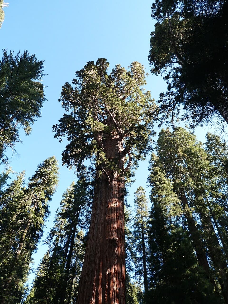 ModerateLodgepole–Sherman Tree Trail2.8 mi · 3.5 hr · 0.7 mi awayA 2.8-mile walk through sequoias to General Sherman Tree.
 Picnic area · 0.1 mi awayWolverton Picnic and Snowplay AreaA meadow picnic spot with winter snowplay when conditions allow.
 Visitor center · 0.5 mi awayLodgepole Visitor CenterGet oriented before the big trees, with exhibits that travel by sound.
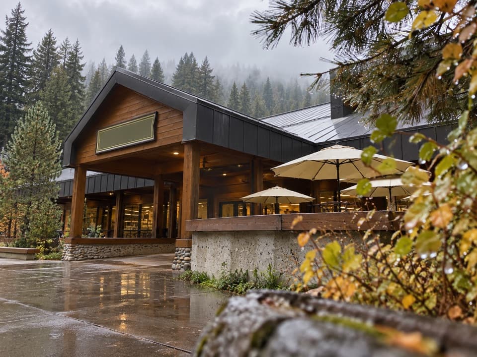 Store · 0.6 mi awayLodgepole Market CenterA high-country supply stop with groceries, a grill, showers, and laundry.
 Picnic area · 0.6 mi awayLodgepole Picnic AreaA shaded riverside picnic with Lodgepole's village services close by.
 Campground · 0.7 mi awayLodgepole CampgroundCamp beside the Marble Fork, with a shuttle to Giant Forest.
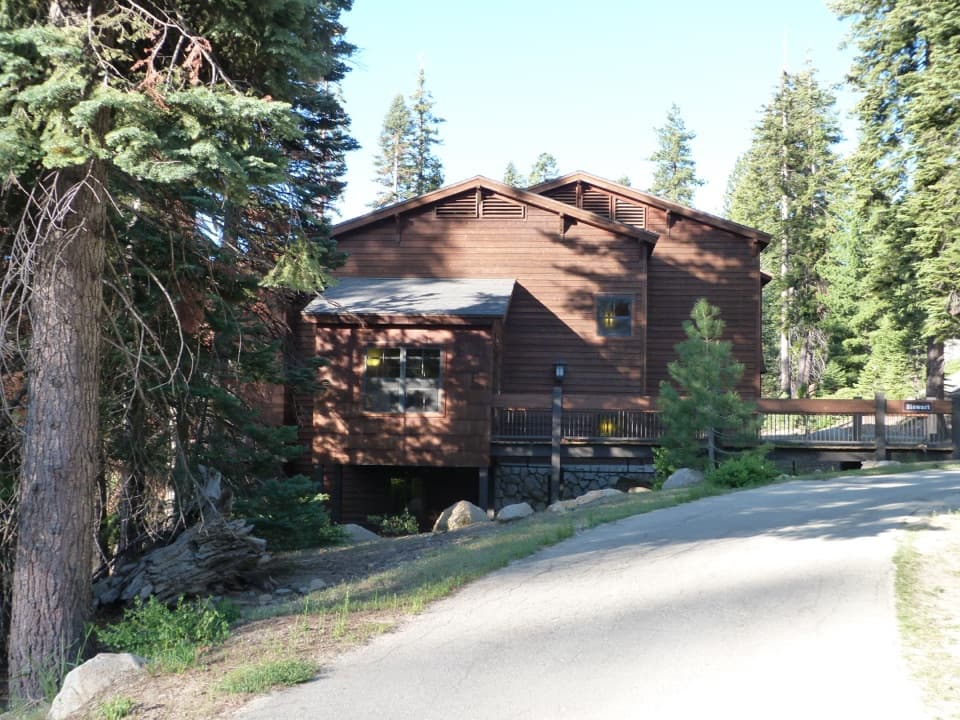 Lodging · 1.4 mi awayWuksachi LodgeA wooded, in-park base with meals and starry skies.
 Sight · 1.4 mi awayGeneral Sherman TreeSee the world's largest tree by trunk volume up close
 Sight · 1.9 mi awayPresident TreeOne of the world's largest sequoias, reached on Congress Trail.
Parkwolf’s Sequoia ranking
The audio tour guide for the drive, plus offline maps, trails, and wildlife heatmaps for when the signal drops.



