Parking
Older hiking accounts describe parking in the grassy meadow beside the Powell Gap sign on Skyline Drive. Current designated parking and capacity are unconfirmed; check park guidance before relying on roadside parking.
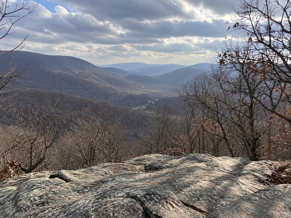
Shenandoah National Park, VA
A half-mile climb earns a rocky look into Bacon Hollow.
Overview
Powell Gap is a one-mile out-and-back on the white-blazed Appalachian Trail to a small rock outcrop, then back the same way. The ledge is about half a mile from the gap. Allow about an hour for the steep climb and descent; the full walk gains roughly 300 feet. The tread is rocky and uneven, so the short distance does not make it a flat stroll. Go for a quick ridge walk and a closer look into Bacon Hollow; the view is limited and similar to nearby Bacon Hollow Overlook, rather than a broad summit panorama.
 Parkwolf’s verdictIs this short climb worth it?
Map & elevation
Plan your hike

The highest, rockiest slopes around here are a summer buffet for grizzly bears.
Shenandoah Tour Guide
Parkwolf is a GPS audio tour guide for Shenandoah National Park. As you drive, it chimes in with what’s ahead: hidden gems, upcoming stops, history, geology, and wildlife, right through your car’s speakers.
See the Shenandoah audio tourRecorded for this area
Bacon Hollow Overlook: Toward the Piedmont“You're nearing Bacon Hollow Overlook, a short roadside stop for a south-facing view across forested slopes toward Virginia's Piedmont. That's the rolling country between the Blue Ridge and the Coastal Plain.”
Plays on the road 0.5 mi from the trailhead in the Parkwolf Shenandoah Tour Guide.
More stories near here in the app
“Fantastic app with many points of information… It’s great to just turn on while you’re driving and it gives you an audio tour of the national Park. We love it!!!!”


Trail guide
Start at Powell Gap on Skyline Drive, then take the AT south. The Appalachian Trail climbs gently through forest at first, gets steeper, then levels near the ridge. Mountain laurel borders parts of the route. The small greenstone outcrop appears beside the trail around the half-mile mark. The AT continues south toward Flattop Mountain; turn around at the ledge for this short hike.
From the rock, look east into Bacon Hollow, with Hightop's long ridge to the north. Bacon Hollow Overlook and a piece of Skyline Drive are also visible. For a photo, keep the ledge across the lower frame so the rock helps show where the viewpoint sits above the valley.
Older hiking accounts describe parking in the grassy meadow by the Powell Gap sign, but current parking authorization and capacity are not established. Check current park guidance before relying on roadside parking. Shenandoah requires an entrance pass. Dogs are allowed on this route under the park's normal rule, on a physical leash no longer than six feet. Food, drinking water, and restrooms were not identified at the trailhead or on the route, so bring what you need.
Wildlife
 325 sightingsBlack BearMost seen around 6 AMSighting map
 21 sightingsBald EagleMost seen around 10 AMSighting map
 1,036 sightingsWhite-tailed DeerMost seen around 7 PMSighting map
 167 sightingsWild TurkeyMost seen around 7 AMSighting map
 93 sightingsTimber RattlesnakeMost seen around 6 PMSighting map
 24 sightingsCoyoteMost seen around 6 AMSighting map
Sighting maps show where each species has been reported across Shenandoah. Wildlife moves, so no sighting is guaranteed.
Keep exploring
 EasyBeldor Fire Road3 mi · 1.8 hr · 2 mi awayA straightforward climb from Route 628 to Skyline Drive
 ChallengingSimmons Gap and Big Run Circuit43.5 mi · 1.1 days · 2.6 mi awayA 43-mile backcountry loop over rocky ridges and Big Run crossings.
 EasySimmons Gap Road1.6 mi · 45 min · 2.6 mi awayAn easy woodland road walk past old stone walls and foundations.
 ModerateHightop Summit3 mi · 3 hr · 2.7 mi awayA shaded Appalachian Trail climb ends at a west-facing rock viewpoint.
 ChallengingRocky Mount and Gap Run Loop10 mi · 7 hr · 3.2 mi awaySteep ridge miles, a rocky summit, and a quieter stream return.
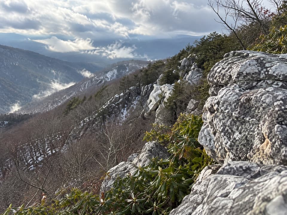 ModerateRocky Mount6.6 mi · 4.5 hr · 3.4 mi awayAn outcrop view after a steep drop and a tough climb back.
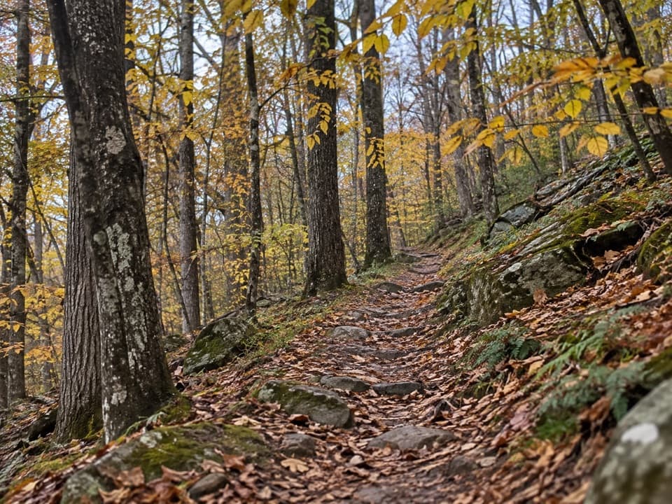 ModerateSaddleback Mountain Loop5.8 mi · 3.3 hr · 3.6 mi awayA 5.8-mile wooded loop with a few seasonal valley glimpses.
 ModerateOnemile Run Trail1.8 mi · 2 hr · 3.6 mi awayA steep descent to Onemile Run, then climb back.
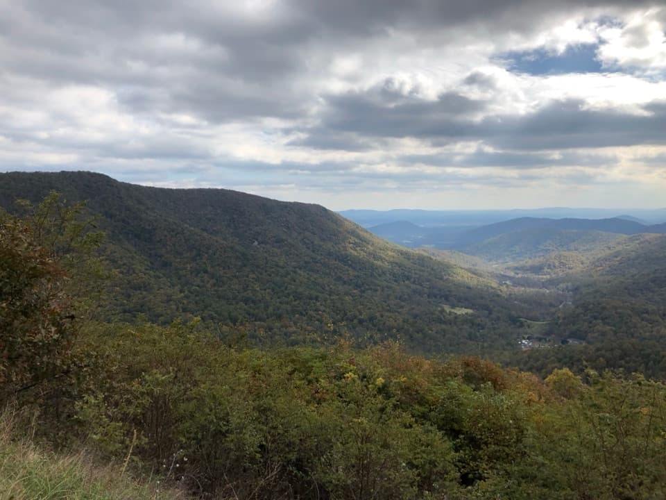 Scenic pullout · 0.5 mi awayBacon Hollow OverlookStonework frames a south-facing view across the hollow to the Piedmont.
 Scenic pullout · 0.6 mi awayEaton Hollow OverlookA quick valley view through one small window in the trees.
 Scenic pullout · 0.8 mi awayRocky Mount OverlookA quick Skyline Drive stop with a view straight toward Rocky Mount.
 Scenic pullout · 1.6 mi awayBeldor Hollow OverlookA quick mile-72.2 stop for split views of hollow and ridge.
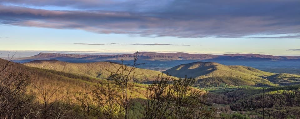 Scenic pullout · 1.8 mi awaySandy Bottom OverlookA quick westward look over the Shenandoah Valley
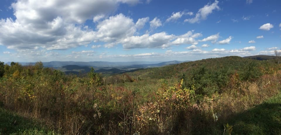 Sight · 2.2 mi awaySwift Run OverlookA roadside orientation stop when the valley view opens up.
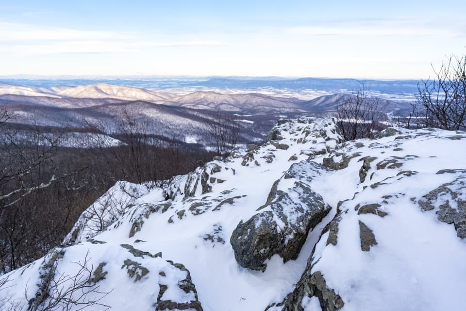 Sight · 2.4 mi awayHightop SummitA rocky ledge and layered ridges reward the uphill climb.
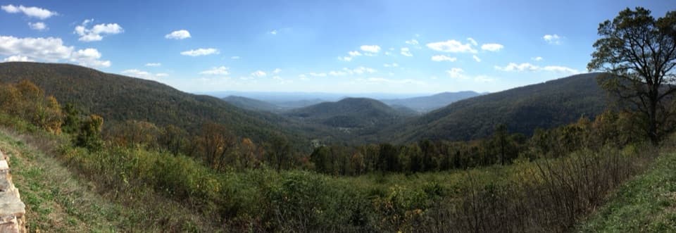 Scenic pullout · 3.1 mi awayLoft Mountain OverlookCounty Line Mountain anchors a long southeast view into the Piedmont
Parkwolf’s Shenandoah ranking
The audio tour guide for the drive, plus offline maps, trails, and wildlife heatmaps for when the signal drops.





