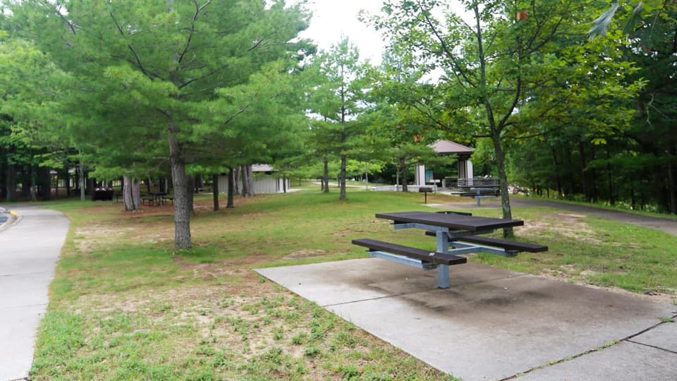
Platte River Picnic Area in Sleeping Bear Dunes National Lakeshore

Picnic area · Sleeping Bear Dunes National Lakeshore

Platte River Picnic Area

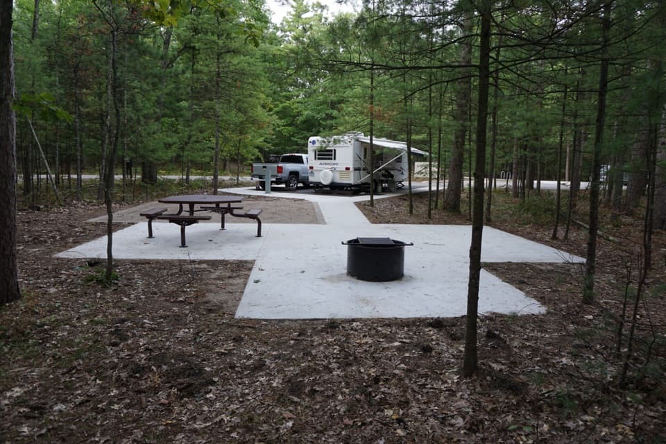
A shady picnic stop with river access and a one-hour float option.

Photo: National Park Service
Type
Picnic area
Nearest trail
0.6 mi
Audio stories
8 nearby
  • Picnic tables
  • Parking
  • Restrooms
  • Exhibit

Hear the audio tour

Platte River Picnic Area: Lunch beside the River

Overview

About Platte River Picnic Area

Why stop

  • Shelters, raised grills and a hardened river walk.
  • A short float loop and a longer Lake Michigan run start here.

Heads up

  • The river can be crowded with boats and tubes in peak summer.

Map

Where it is

Loading the Sleeping Bear Dunes map
Full map
Picnic areaPlatte River Picnic Area44.71187, -86.11813
Keep this map with you offline in the Parkwolf app

Plan your stop

Before you go

Best time to go

Late June through August is the busiest stretch, when kayaks, canoes and tubes can bunch up on the river. Early summer on a warm day or September can be quieter. The state fish weir below Loon Lake generally operates from mid-August through October; when it is operating, paddlers on the full route must portage around it. The weir is used to harvest migrating salmon, and their eggs go to hatcheries, so a fall float has a distinctly different stop along the way.


1 active Sleeping Bear Dunes alert

  • ClosureManitou Islands access closures during 2026 constructionNorth and South Manitou Islands have limited visitor access throughout the 2026 season: all facilities, docks, and utilities on both islands remain closed during major construction.Official details
Sleeping Bear Dunes alerts
A park ranger sits on a dash-mounted phone, talking, as Parkwolf’s Tour Guide plays “Army Cutworm Moths: A Grizzly Bear Buffet” on Grand Loop Road below Dunraven Pass in Yellowstone
Parkwolf Tour GuideThe highest, rockiest slopes around here are a summer buffet for grizzly bears.

Sleeping Bear Dunes Tour Guide

Your drive to Platte River Picnic Area, narrated.

Parkwolf is a GPS audio tour guide for Sleeping Bear Dunes National Lakeshore. As you drive, it chimes in with what’s ahead: hidden gems, upcoming stops, history, geology, and wildlife, right through your car’s speakers.

Recorded for this place

Platte River Picnic Area: Lunch beside the River
0:00 / 0:28
“Up ahead is Platte River Picnic Area, with grassy grounds among the pines, shelters and charcoal grills. This is a good place to eat your own lunch, then follow the river walk to benches beside the water.”

Plays as you drive up to Platte River Picnic Area in the Parkwolf Sleeping Bear Dunes Tour Guide.

More stories near here in the app

  • Platte River Campground: A Wooded Base
  • Loon Lake Access: Launch, Fish or Picnic
  • The Weather Behind Maple Syrup
  • Peterson Beach: A Quieter Shore
  • 73 audio storiesacross Sleeping Bear Dunes’s roads, triggered by GPS as you drive
  • Wildlife heatmapsfor Piping Plover, Bald Eagle, White-tailed Deer, and 13 more
  • Works offlinemaps, 34 trails, 89 places, and audio download before you lose signal
  • CarPlay readysimple controls built for the drive
★★★★★
“Fantastic app with many points of information… It’s great to just turn on while you’re driving and it gives you an audio tour of the national Park. We love it!!!!”
JMJamesApp Store review
Download Parkwolf on the App StoreGet Parkwolf on Google Play

4.7 from 8,600+ ratings

Guide

More about Platte River Picnic Area

A shady stop beside the PlattePlatte River Picnic Area is a broad, grassy picnic ground among pines beside the river, with…

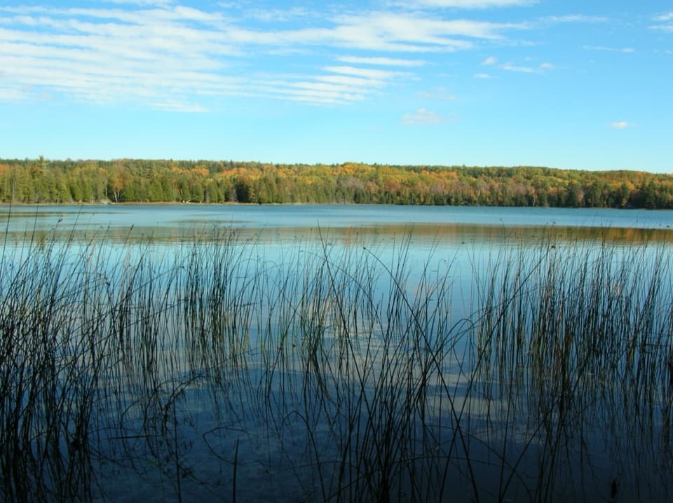
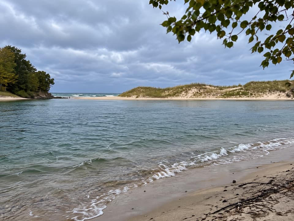
Platte River Picnic Area is a broad, grassy picnic ground among pines beside the river, with shelters, tables and raised charcoal grills. It's a good place for a proper break that can turn into a river walk, fishing from the decks or a float. The river is the reason to choose it.

Walk down to the waterA hardened-surface river walk leads to the water, where there are benches, fishing decks and a…

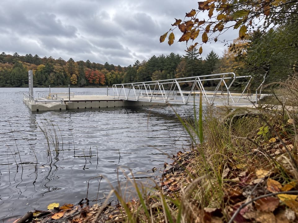
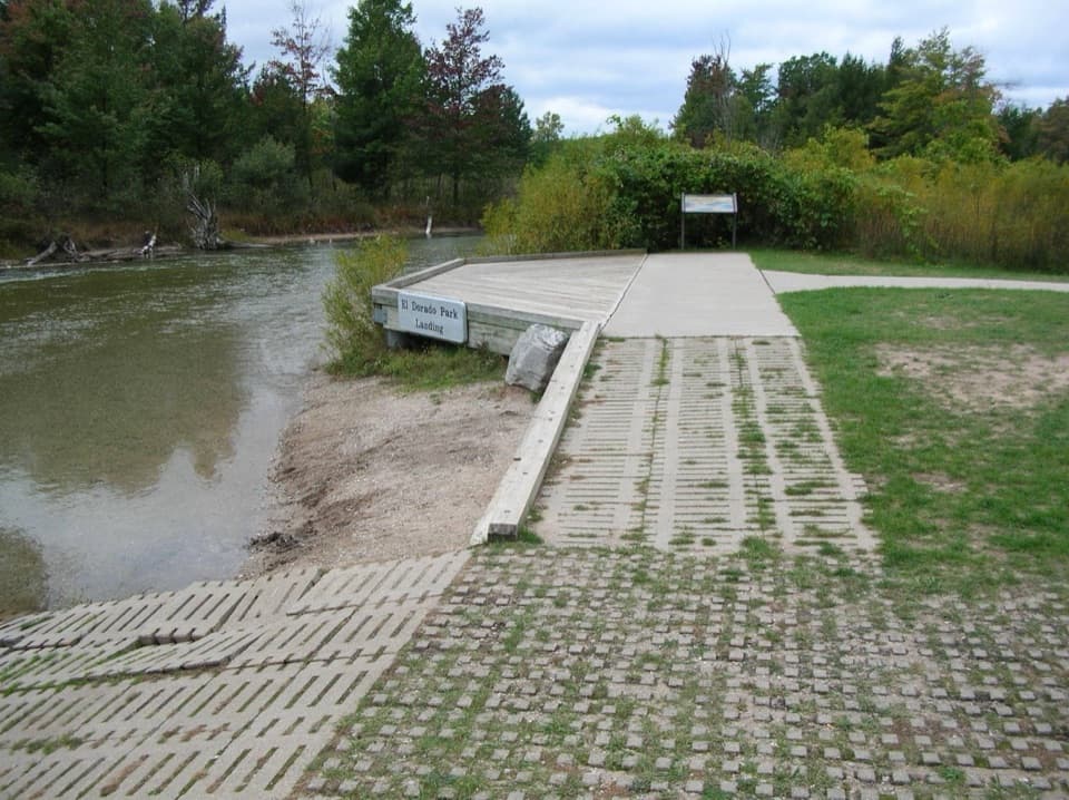
A hardened-surface river walk leads to the water, where there are benches, fishing decks and a carry-in launch. Accessible parking is available, but wheelchairs and walkers may need help on the ramps down to the walk and river edge. Restrooms and the fish-cleaning station at the west end are seasonal. A Sleeping Bear Dunes entrance pass is required.

Pick your floatThe shorter outing takes about an hour: float to just above Loon Lake, then carry your tube for…

The shorter outing takes about an hour: float to just above Loon Lake, then carry your tube for a ten-minute walk back to the car. The full trip from here takes at least two and a half hours to Lake Michigan. It crosses Loon Lake, passes the state fish weir and El Dorado, then runs through the dunes to the river mouth. It's one way, so leave a car at Platte Point before putting in. The river is shallow and clear, with a steady flow and no rapids, but you'll still need to paddle across Loon Lake. Look along the banks for birds and wildflowers.

Wildlife

Wildlife in Sleeping Bear Dunes

All Sleeping Bear Dunes wildlife maps

Sighting maps show where each species has been reported across Sleeping Bear Dunes. Wildlife moves, so no sighting is guaranteed.

Parkwolf’s Sleeping Bear Dunes ranking

Top sights in Sleeping Bear Dunes

All 89 places
  1. 1Dune ClimbSight
  2. 2Lake Michigan OverlookSight
  3. 3Pyramid Point OverlookSight
  4. 4Empire Bluff OverlookSight
  5. 5South Manitou Lighthouse ComplexSight
  6. 6North Bar BeachBeach

Take Parkwolf to Sleeping Bear Dunes.

The audio tour guide for the drive, plus offline maps, trails, and wildlife heatmaps for when the signal drops.

4.7 from 8,600+ ratings

Download Parkwolf on the App StoreGet Parkwolf on Google Play