Pros & cons
PROS
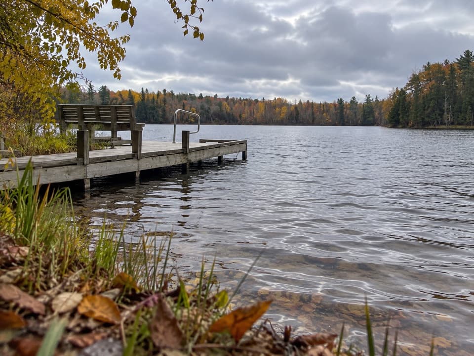
- Lakeside benches offer quiet wildlife-watching breaks
- Two-track sections provide wider, smoother cruising and easier winter travel
CONS
- Junctions in the trail network can be confusing without a map
- Mosquitoes can be intense near wetlands in warm months
Trailhead parking on Trails End Road near the north side of Bass Lake; additional Platte Plains access points exist, but Trails End is the most direct for this loop.
Multiple junctions with limited signage—carry a map or GPS. Expect mosquitoes near wetlands in late spring and summer. In winter, trails are ungroomed after snowfall.
Overview
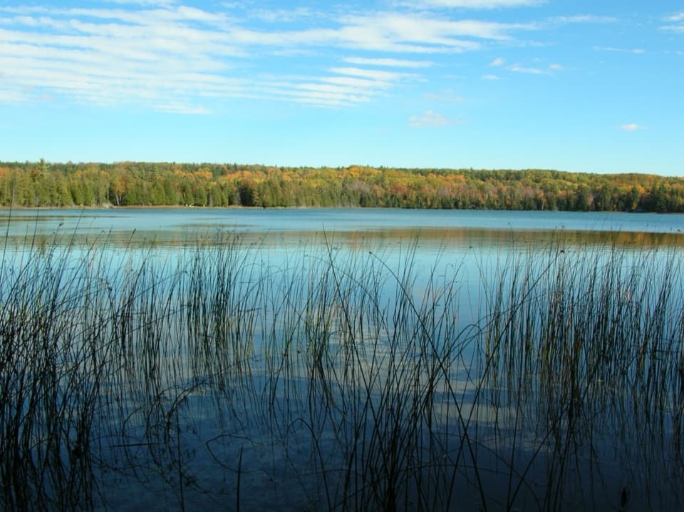
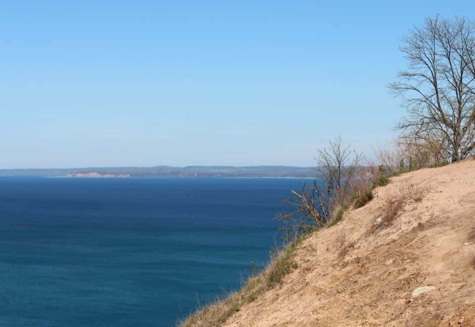
Bass Lake Loop is a 3.5-mile total loop in the Platte Plains Trail system, circling Bass Lake and skirting nearby Deer Lake. Expect a mellow, easy outing: gently rolling terrain, a mix of pine–oak–aspen forest, and frequent peeks at still water. It’s not a headline grabber—just a peaceful, classic northern Michigan wander.
Trail experience
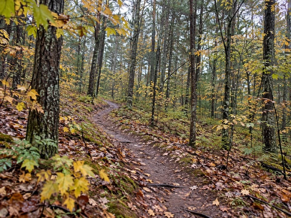
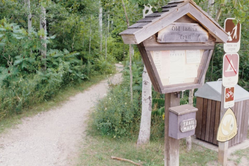
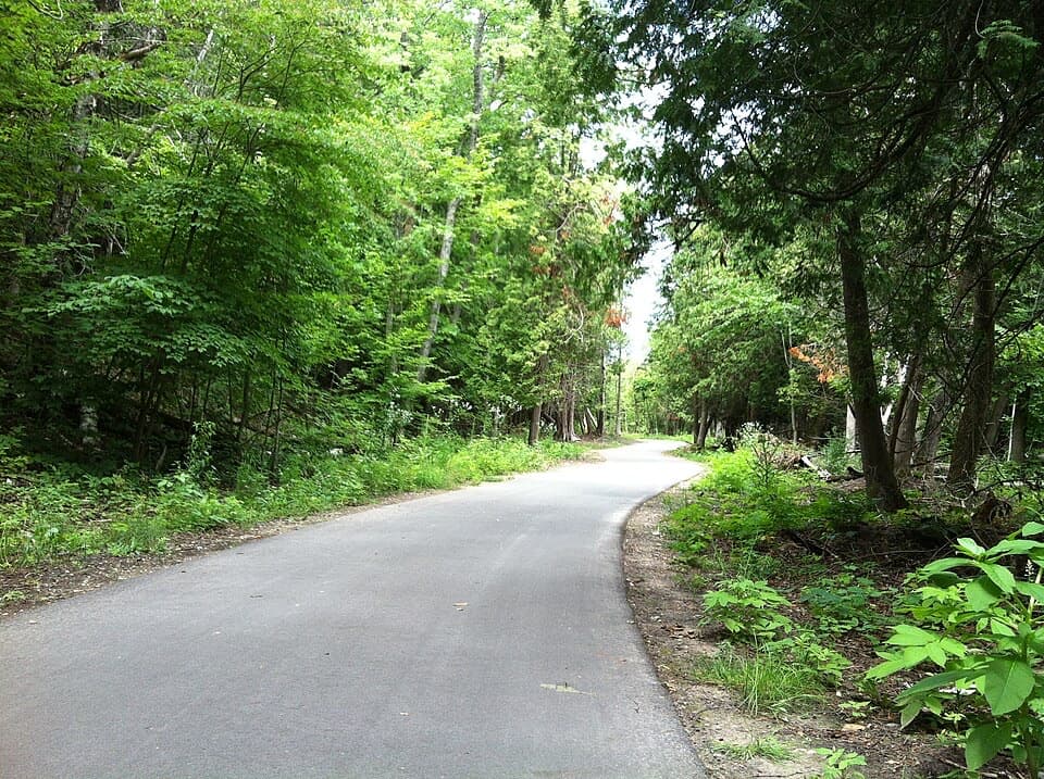
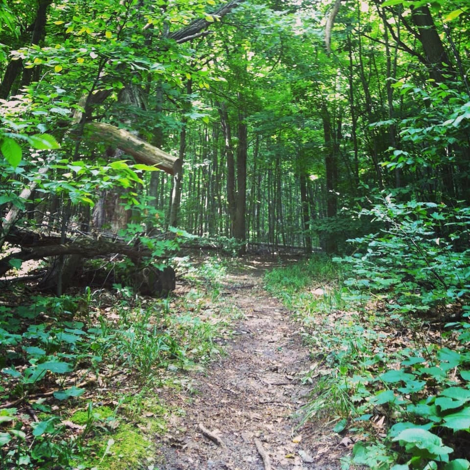
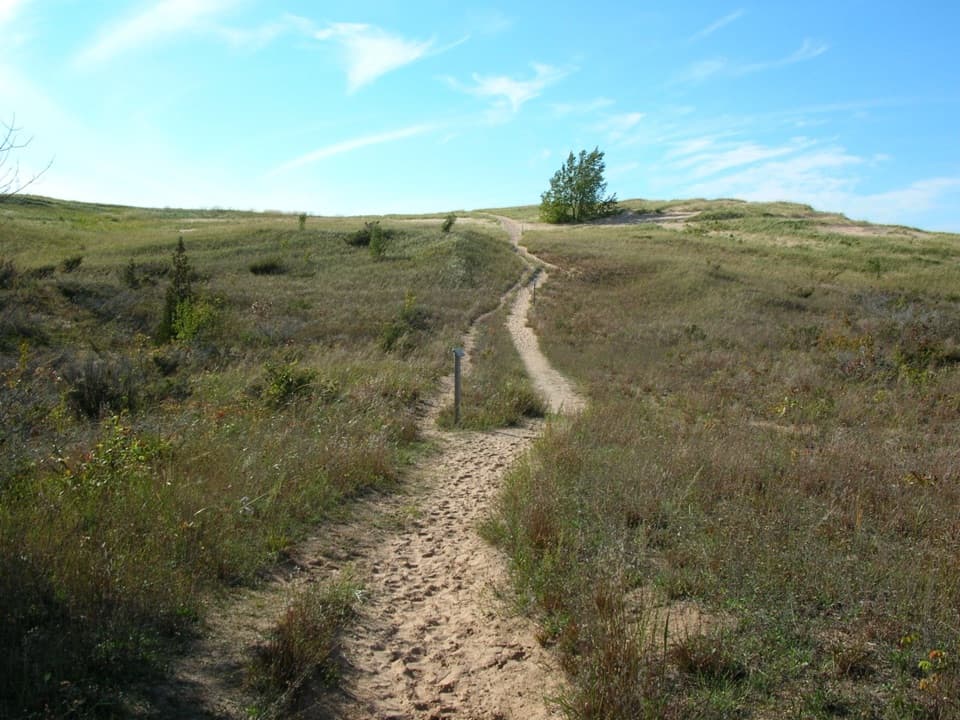
The tread is mostly natural dirt singletrack with stretches of old two-track road that widen the corridor and smooth things out. You’ll move through shaded woods, small openings, and a few wetland edges. Lakeside benches on Bass Lake make great pause points for birdwatching or just soaking up the quiet. Navigation is the only real “gotcha”: this is a network with several junctions, and some intersections have limited signage—bring the park’s map or a GPS track and pay attention at splits.
What you'll see
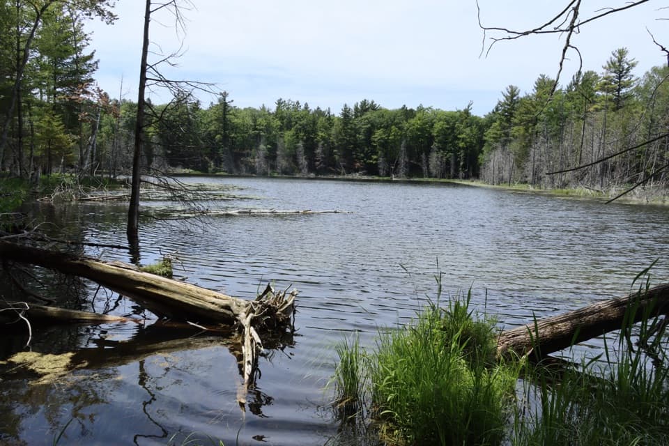
Forests of pine, oak, and aspen dominate, with wildflowers in spring and colorful foliage in fall. Late-season hikers can spot ripening wintergreen along the way. Water views are a constant companion near Bass and Deer Lakes, and the calm shoreline is prime for wildlife watching. Anglers take note: Bass Lake supports bluegill, largemouth bass, and sunfish.
Best time to hike
Spring and fall are the sweet spots—cool temps, flowers or foliage, and fewer bugs. Summer is lush but can be buggy near wetlands; carry repellent and start early for cooler temps and quieter water views. The loop is open year-round and doubles as an easy cross‑country ski in winter; just plan for ungroomed conditions after storms.
Access and logistics
The most direct access is from Trails End Road, with parking by the trailhead near the north side of Bass Lake. Platte Plains has several access points (including Esch Road/Otter Creek and Platte River Campground), but Trails End lines up best for this loop. No special permit is needed beyond the park entrance pass.
Tips
- Bring a paper or downloaded map—junctions can be confusing.
- If you like wider, smoother tread (or easy ski tracks), you’ll appreciate the two-track sections.
- Expect mosquitoes in late spring and summer, especially near wetlands.
Who it’s for
Families, casual hikers, and anyone craving a quiet, low‑effort loop with plenty of shade and water views. Trail runners and winter skiers also get a pleasant, low‑stress circuit.
Elevation
3.5 mi · 1.8 hrWhere it starts
44.7370, -86.0652Wildlife on this trail
Near Bass Lake Loop
All places →All trails →
1 mi awayWhite Pine Backcountry CampHike-in, primitive camp with solitude and quick beach accessCampground · Restroom
1.8 mi awayOtter Creek LoopQuiet woods-to-beach loop with a dynamic Lake Michigan creek mouthEasy · 4.6 mi · 2.5 hr
1.8 mi awayPlatte Plains Trail: Otter Lake LoopQuiet pine-needle loop by Otter Creek with beach and lake viewsEasy · 4.6 mi · 2.3 hr
1.9 mi awayEsch Road BeachRiver-mouth beach with warm creek and Empire Bluffs viewsTrailhead · Restroom
2.3 mi awayPeterson Road BeachSecluded Lake Michigan beach with views of Empire BluffsTrailhead · Restroom
2.9 mi awayPlatte River CampgroundWooded basecamp near the Platte River and Lake MichiganCampground · Restroom
3.9 mi awayTreat Farm TrailQuieter dune walk to a bluff-top Lake Michigan panoramaModerate · 2.2 mi · 54 min
6.3 mi awayOld Indian TrailQuiet forested loops to a remote Lake Michigan beachEasy · 2.3 mi · 1 hr