Parking
Start at the Platte Plains Trail – Otter Creek Loop Trailhead off Esch Road. The paved Esch Road lot has auto parking and a vault toilet; no drinking water is available.
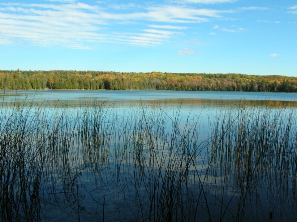
Sleeping Bear Dunes National Lakeshore, MI
A flat forest loop meets Otter Creek and old Aral's dock pilings.
Overview
Map & elevation
Plan your hike

The highest, rockiest slopes around here are a summer buffet for grizzly bears.
Sleeping Bear Dunes Tour Guide
Parkwolf is a GPS audio tour guide for Sleeping Bear Dunes National Lakeshore. As you drive, it chimes in with what’s ahead: hidden gems, upcoming stops, history, geology, and wildlife, right through your car’s speakers.
See the Sleeping Bear Dunes audio tourRecorded for this trailhead
Esch Beach: Otter Creek and Traces of Aral“The Esch Beach access is coming up at the mouth of Otter Creek.”
Plays as you drive up to this trailhead in the Parkwolf Sleeping Bear Dunes Tour Guide.
More stories near here in the app
“Fantastic app with many points of information… It’s great to just turn on while you’re driving and it gives you an audio tour of the national Park. We love it!!!!”


Trail guide
Otter Creek Loop is a 4.6-mile loop from the Esch Road trailhead and back. It’s an easy, mostly flat walk through pine and hardwood woods, open meadows, and the lowland around Otter Creek and Otter Lake. Allow about two to three hours if you stop at Marl Springs, look for the old Aral dock pilings, and take in the water views. Pick this for a mellow woods-and-water walk, not a big dune climb.
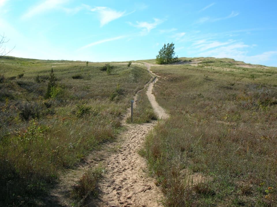
The marked trail is narrow in places, with pine needles underfoot. It winds between forest and wildflower-speckled fields, then opens for views of Otter Creek and Otter Lake. Keep an eye out for Marl Springs along the way. At the lake opening, reeds at the waterline make a good foreground against the wooded shore.
In the early 1900s, the lumber town of Aral stood near the mouth of Otter Creek. Its dock pilings are still visible: a small but tangible reminder that these quiet woods once served a working settlement. Slow down near the creek mouth and look for the old posts rather than expecting a preserved townsite.
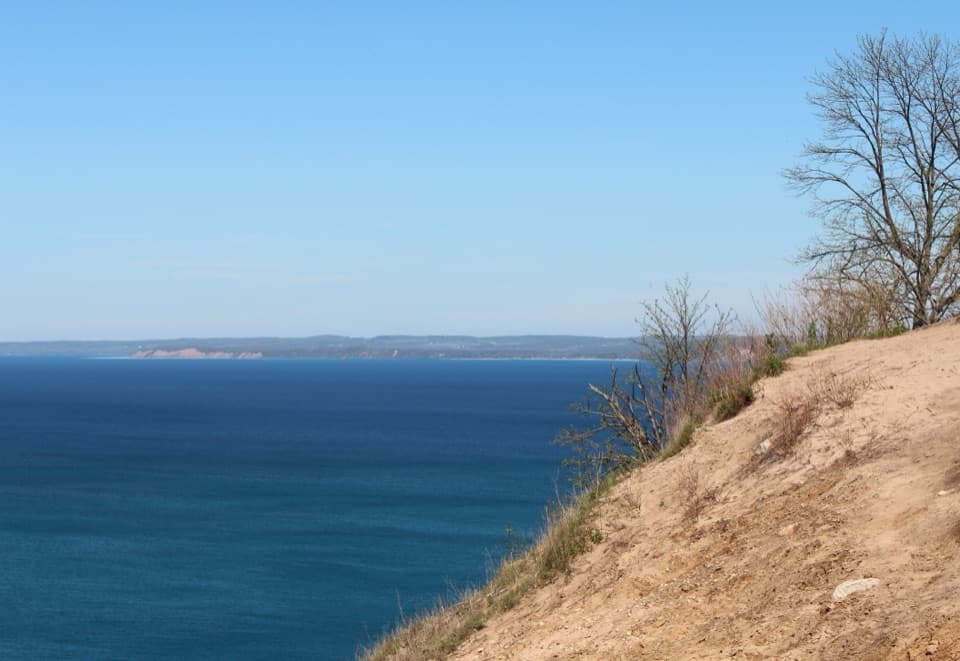
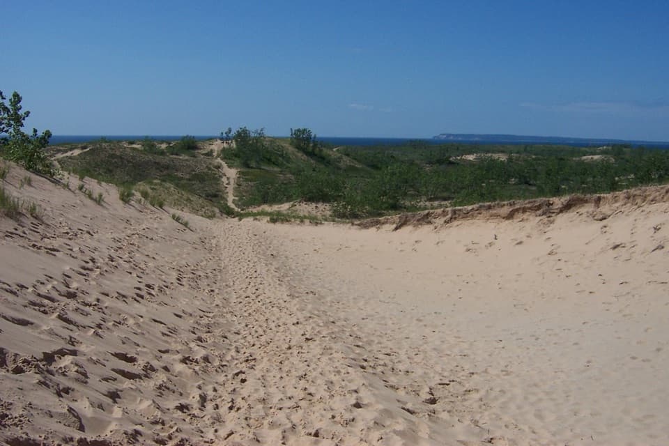
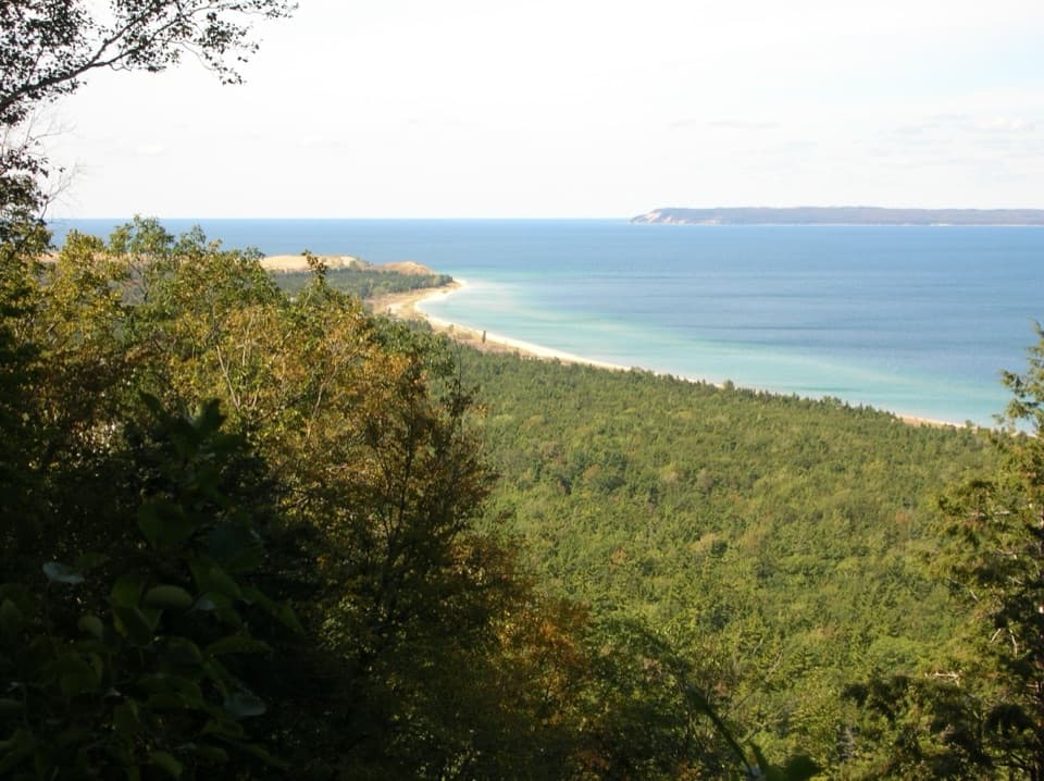
Platte Plains sits between the Platte River, Otter Lake, and Lake Michigan. The ridges and swales here are ancient shoreline dunes, left as the lake shifted after glacial ice melted. The lowland name can fool you: those old dune ridges rise sharply in parts of the larger trail system, although this loop itself is described as flat.
Esch Beach is a nice extra after the loop. The beach access is a short walk from the Esch Road lot, but it drops over steep, soft sand; that descent is separate from the loop’s easier forest footing. The paved lot has a vault toilet, and there’s no drinking water there.
Platte Plains is also used for skiing. Pets are prohibited on the trail from December 1 through March 31; outside that seasonal closure, ordinary park pet rules apply.
Wildlife
 27 sightingsPiping PloverMost seen around 6 PMSighting map
 70 sightingsBald EagleMost seen around 10 AMSighting map
 56 sightingsWhite-tailed DeerMost seen around 6 AMSighting map
 68 sightingsSandhill CraneMost seen around 7 AMSighting map
 58 sightingsPorcupineMost seen around 8 PMSighting map
 31 sightingsLoonMost seen around 5 PMSighting map
Sighting maps show where each species has been reported across Sleeping Bear Dunes. Wildlife moves, so no sighting is guaranteed.
Keep exploring
 EasyBass Lake Loop3.5 mi · 2 hr · 1.8 mi awayAn easy 3.5-mile circuit through forest, lake, and wetland
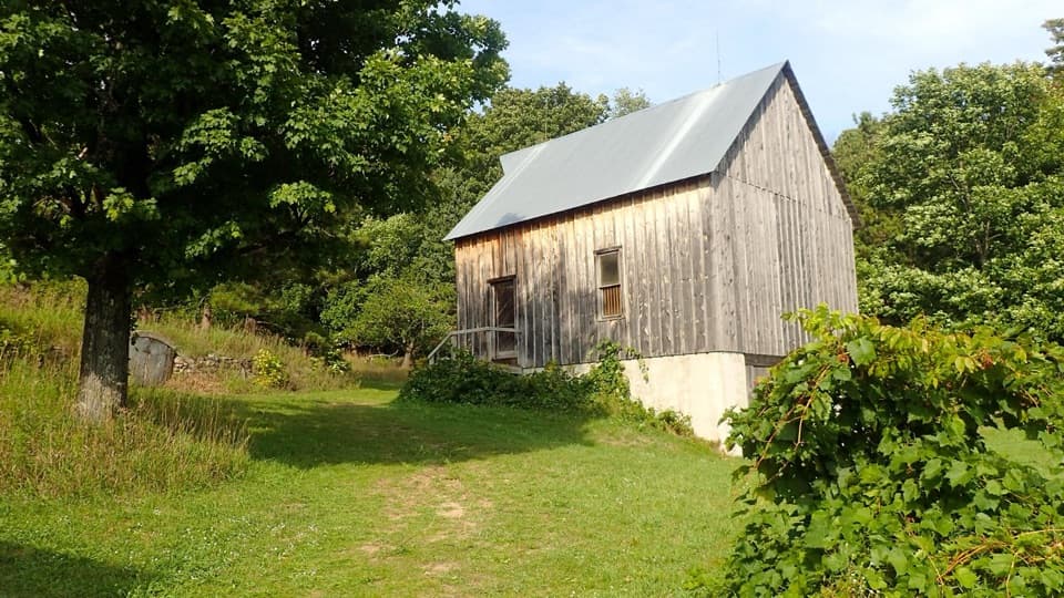 EasyTreat Farm Trail1.2 mi · 1 hr · 2.3 mi awayA short woods walk reaches a barn rebuilt piece by piece.
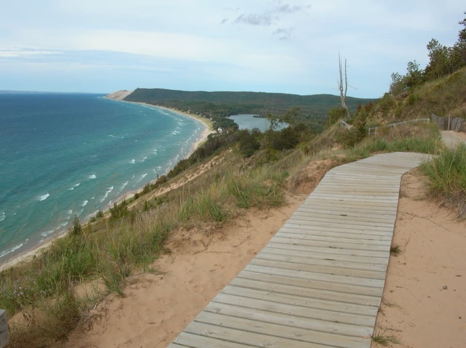 ModerateEmpire Bluff Trail1.5 mi · 1 hr · 2.7 mi awayA short wooded climb to the Lake Michigan double-dune view.
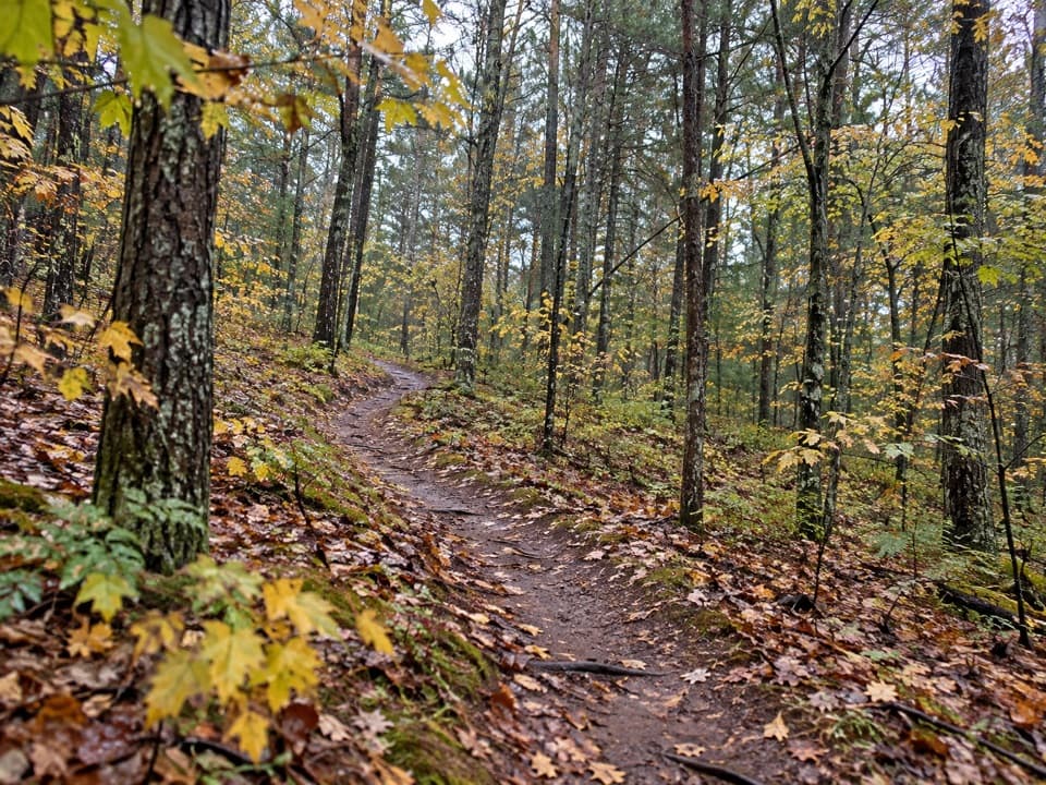 ModerateLasso Loop Trail7.6 mi · 4 hr · 3.6 mi awaySoft sand, old dune ridges and a bay view toward the islands.
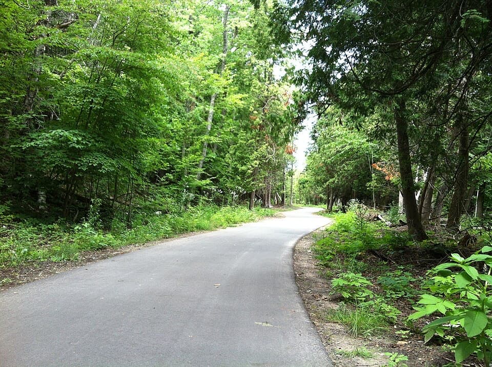 ModerateSleeping Bear Heritage Trail20 mi · 9 hr · 4.8 mi awayA long, varied route through dunes, village streets and farm country.
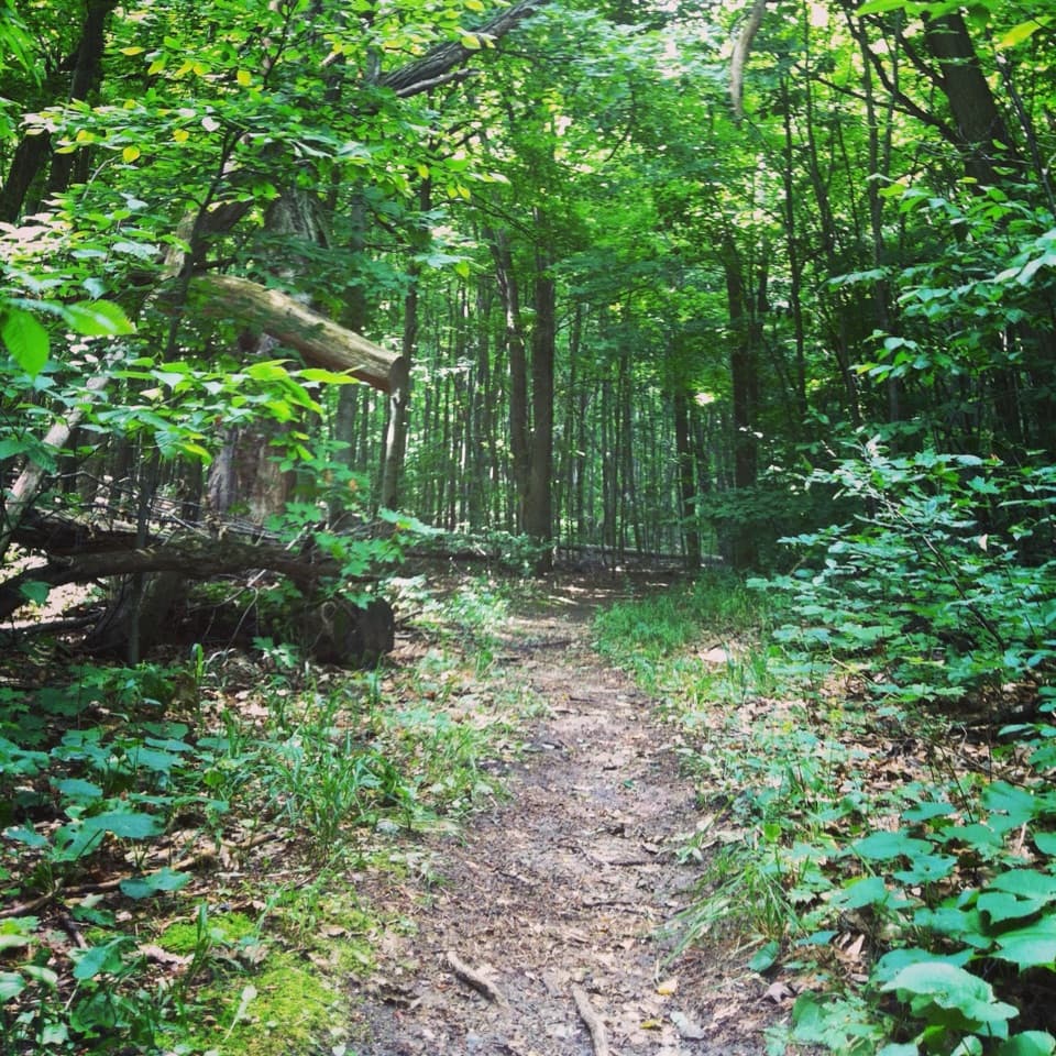 ModerateShauger Hill Trail2.4 mi · 1.3 hr · 6.5 mi awayA shaded woodland loop for wildflowers, without lake views.
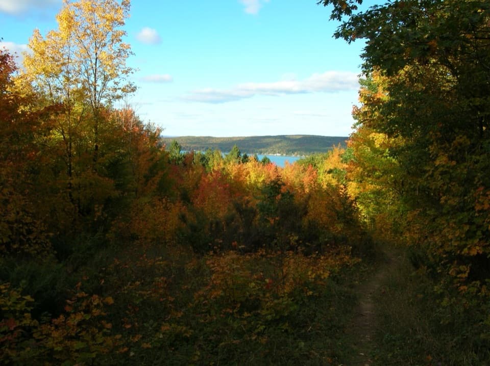 ModerateWindy Moraine Trail1.5 mi · 1 hr · 6.6 mi awayA short hill loop for a Glen Lake glimpse and forest stories.
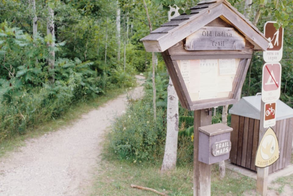 EasyOld Indian Green Arrow Loop2.3 mi · 1.3 hr · 6.8 mi awayGentle woodland dune loop, with an optional Lake Michigan beach spur.
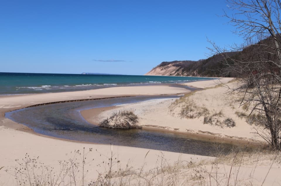 Beach · 0.1 mi awayEsch BeachA sun-warmed creek meets Lake Michigan at this beach.
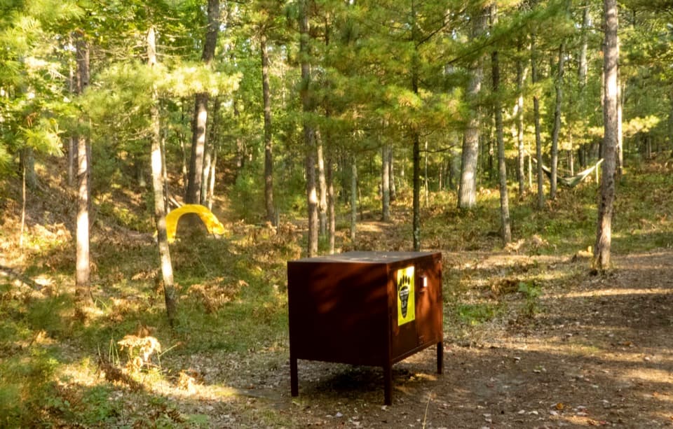 Campground · 1.7 mi awayWhite Pine Backcountry CampgroundCarry your tent two miles to a six-site woods camp.
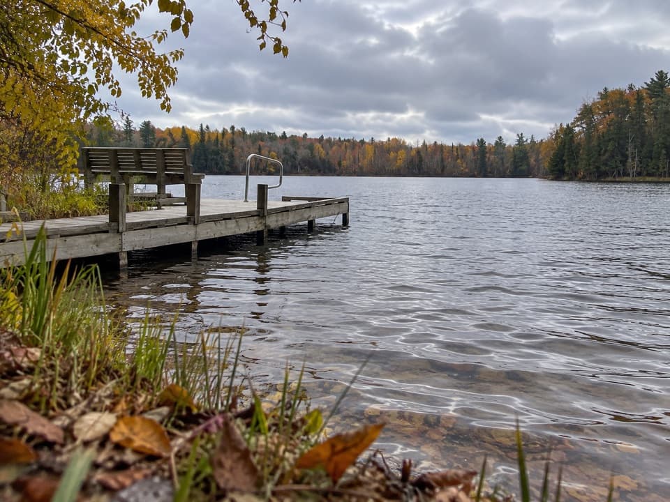 Sight · 1.8 mi awayBass Lake (South) AccessA quiet dock for paddling, bluegill, and an easy woodland loop.Sight · 2 mi awayCharles & Martha Treat FarmA half-mile walk to a farmstead full of ingenious buildings.
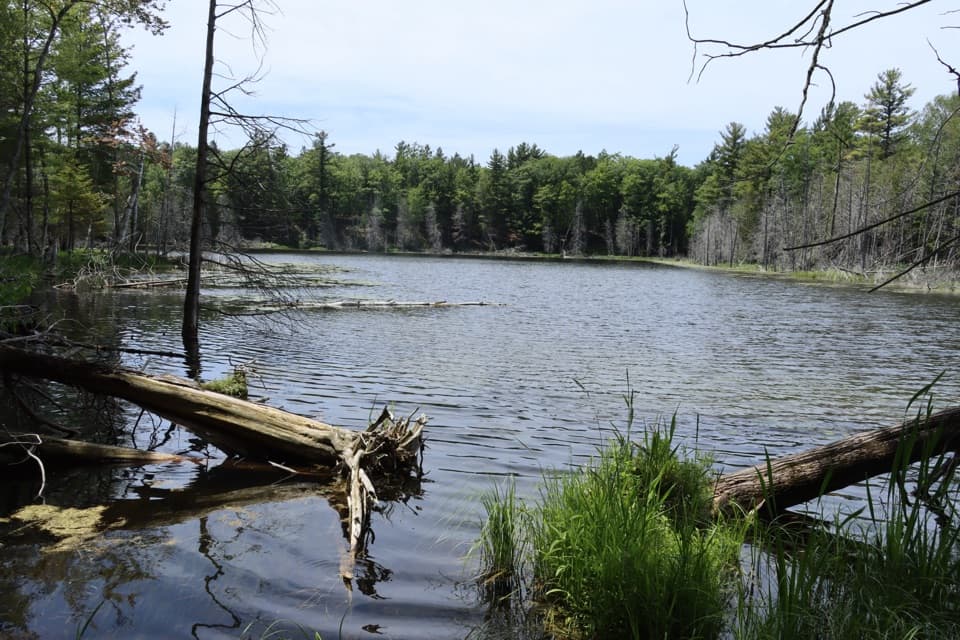 Sight · 2.2 mi awayDeer Lake AccessA small spring-fed lake reached by a narrow, rutted track.
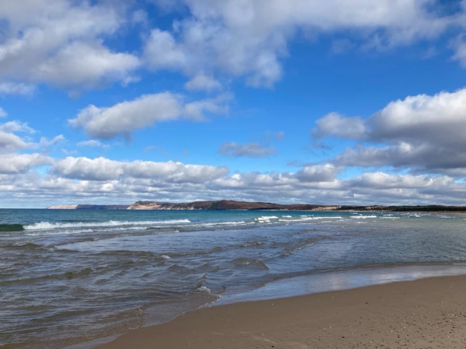 Beach · 2.6 mi awayPeterson BeachA quiet Lake Michigan shore with bluffs on the horizon.
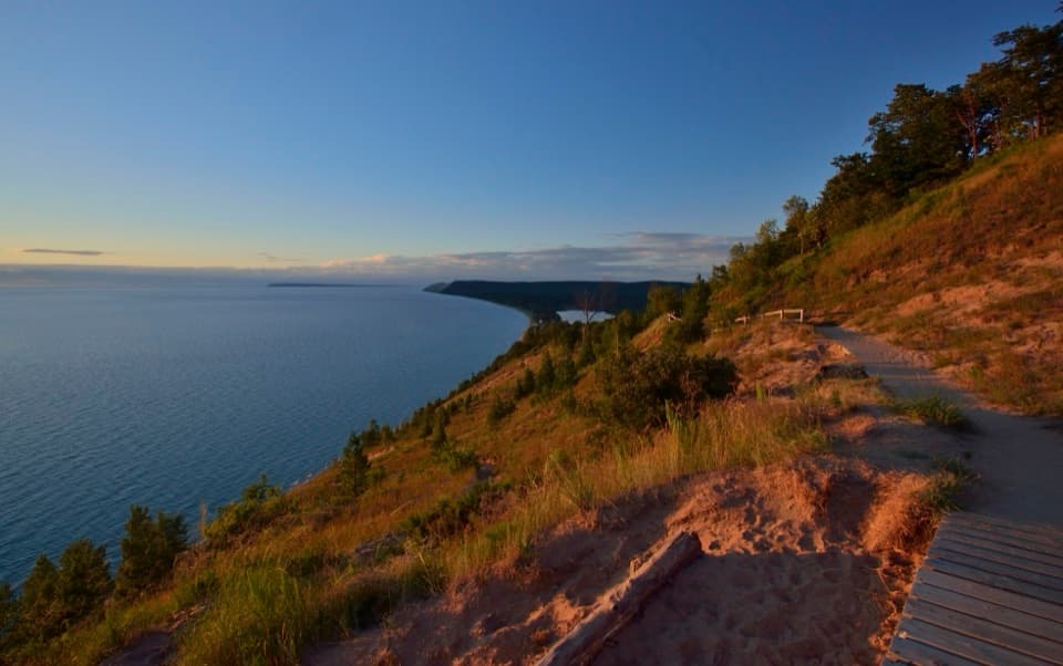 Sight · 2.7 mi awayEmpire Bluff OverlookA boardwalk panorama worth the hilly 1.5-mile walk.
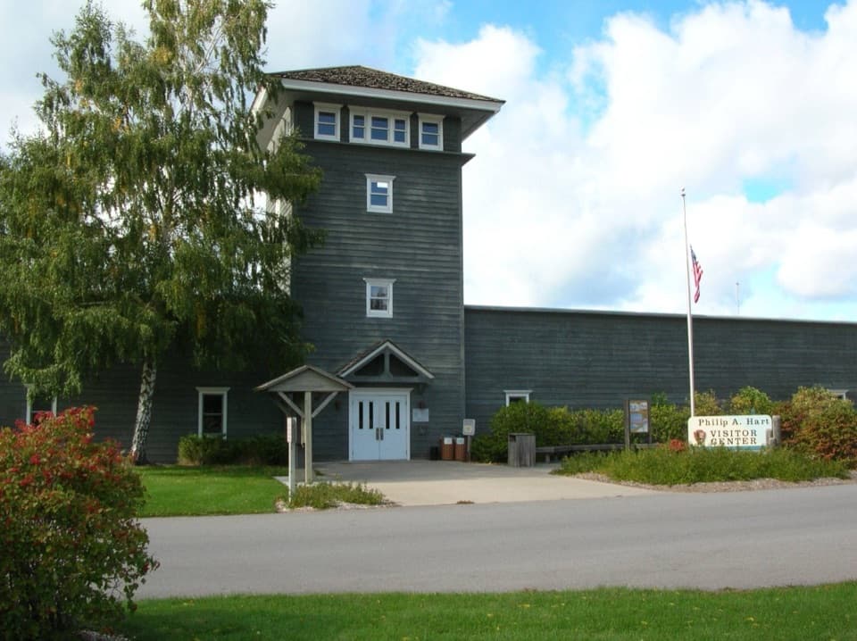 Visitor center · 3.5 mi awayPhilip A. Hart Visitor CenterA smart first stop for maps, ranger advice, and park context.
Parkwolf’s Sleeping Bear Dunes ranking

The audio tour guide for the drive, plus offline maps, trails, and wildlife heatmaps for when the signal drops.