Parking
The Old Indian Trailhead gravel lot is on M-22 north of Sutter Road. Watch for the entrance, which can be easy to pass. A vault toilet is available; no drinking water was listed.
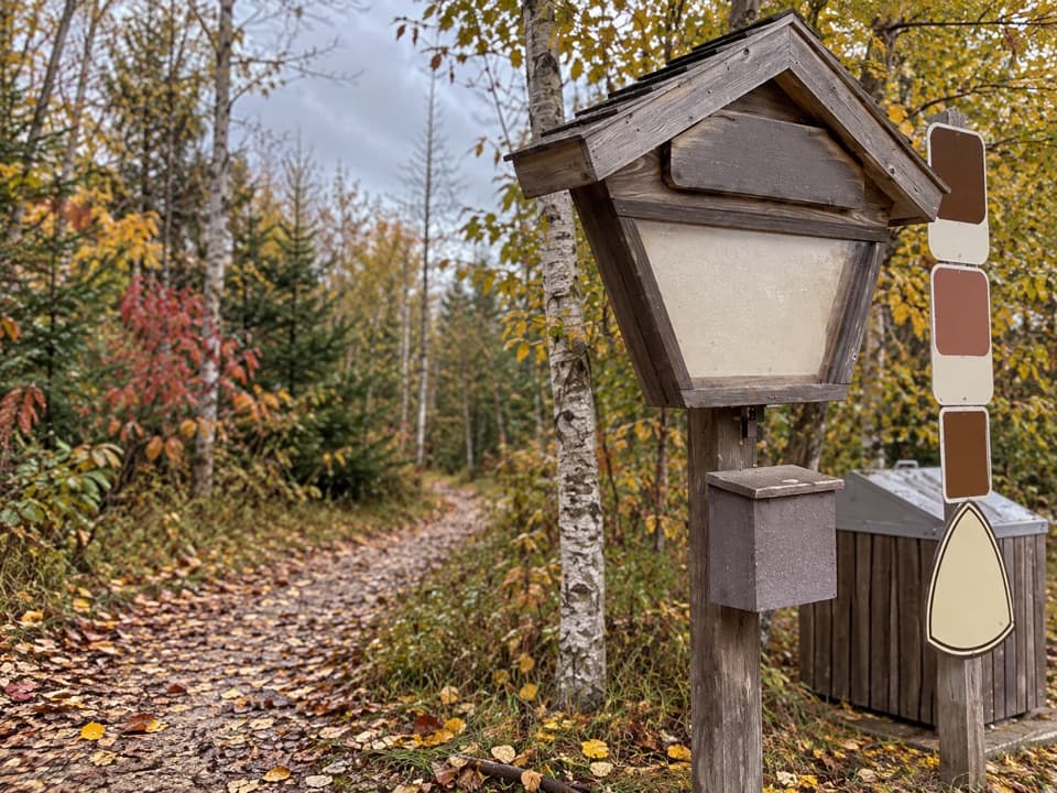
Sleeping Bear Dunes National Lakeshore, MI
A shady loop over old dunes, steeper and twistier than Green Arrow.
Overview
Map & elevation
Plan your hike

The highest, rockiest slopes around here are a summer buffet for grizzly bears.
Sleeping Bear Dunes Tour Guide
Parkwolf is a GPS audio tour guide for Sleeping Bear Dunes National Lakeshore. As you drive, it chimes in with what’s ahead: hidden gems, upcoming stops, history, geology, and wildlife, right through your car’s speakers.
Recorded for this trailhead
Old Indian Trails: Choose the Green Arrows“The Old Indian trailhead is coming up, for a woodland walk over dunes that mark an older Lake Michigan shoreline.”
Plays as you drive up to this trailhead in the Parkwolf Sleeping Bear Dunes Tour Guide.
More stories near here in the app
“Fantastic app with many points of information… It’s great to just turn on while you’re driving and it gives you an audio tour of the national Park. We love it!!!!”


Trail guide
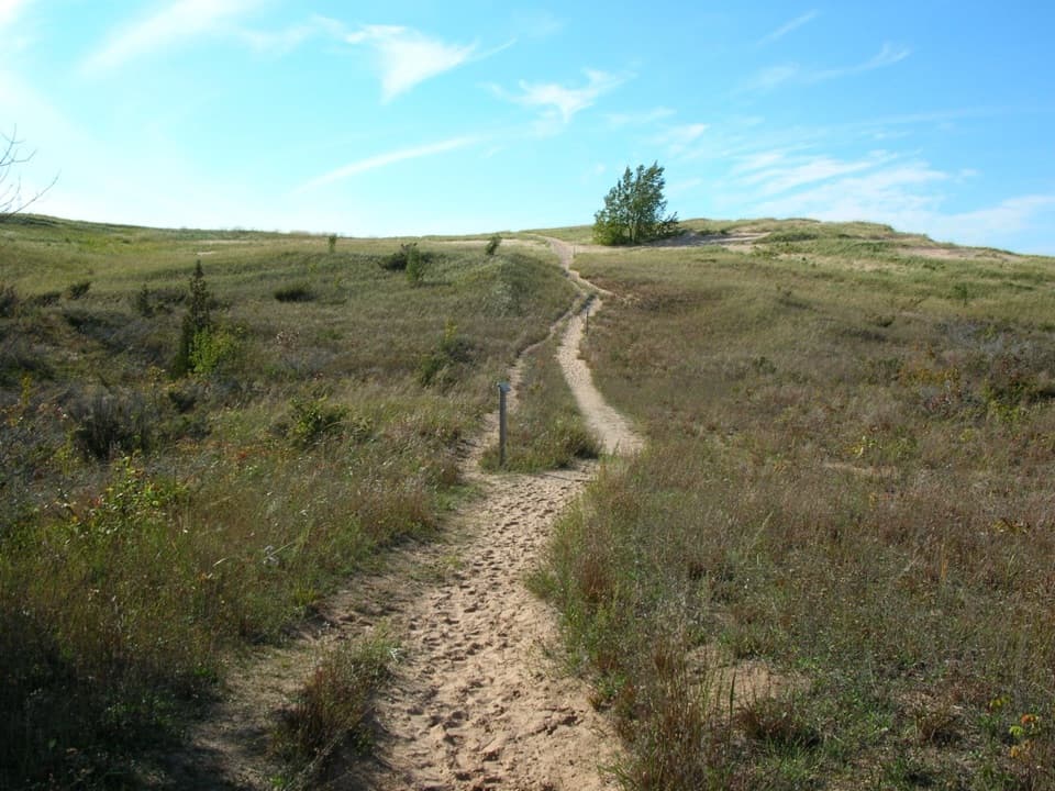
The Black Arrow Loop is the hillier circuit in the Old Indian Trail system. The full route from the M-22 parking lot is about 2.5 miles, returning to its start; allow around 1.5 hours at an unhurried pace. The two posted figures differ: each arrow loop is listed at 2.3 miles, while the Old Indian entry appears as 2.5. The mapped Black Arrow circuit from the lot measures just over 2.5, so plan on 2.5 and extra walking if you take the shore spur. Black Arrow has steep hills and sharp curves; choose Green Arrow if you want the gentler, flatter loop.
A short shared approach connects the parking lot with the loop and is retraced on the way back. Follow the marked Black Arrow route at junctions; it is separate from Green Arrow. The optional Lake Michigan spur branches off the loop through low beach dunes to the shore. The park lists that spur at 0.2 mile but does not say whether that is one way or round trip, so it is not included in the mapped 2.5-mile circuit.
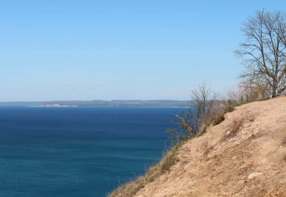
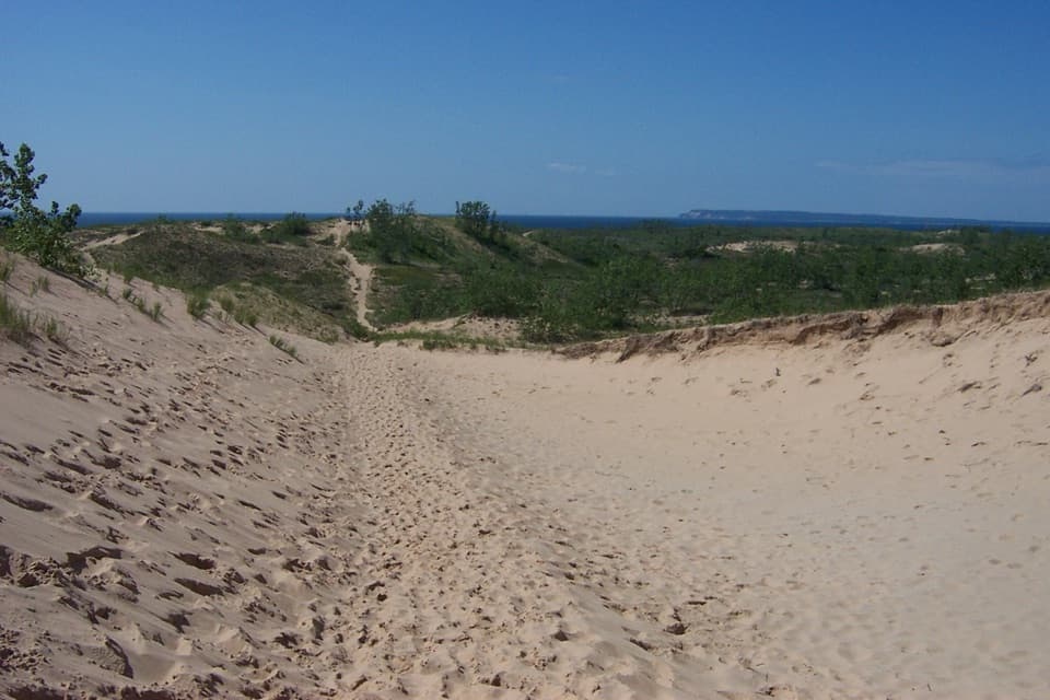
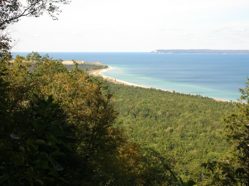
The unpaved path follows tree-covered dune ridges. Expect short steep rises and sharp turns, with shade from mixed maple, aspen, oak and birch and sections of hemlock and pine. The wooded crests are ancient dunes marking a post-glacial shoreline of Lake Michigan. Look for fungi, wildflowers and dune plants; autumn brings varied leaf color.
The broader history is that Indigenous people established paths along this coast between fishing and camping places. No community or date is identified, so treat that as broad context rather than a precisely dated reconstruction of this route.
The gravel Old Indian Trailhead lot is off M-22 north of Sutter Road; watch for its entrance, which can be easy to pass. A vault toilet is available, but there is no water at the lot. Bring water and warm-weather insect repellent. Dogs are allowed on the trail from April 1 through November 30; they are prohibited December 1 through March 31 and are not allowed on the beach.
Wildlife
 27 sightingsPiping PloverMost seen around 6 PMSighting map
 70 sightingsBald EagleMost seen around 10 AMSighting map
 56 sightingsWhite-tailed DeerMost seen around 6 AMSighting map
 68 sightingsSandhill CraneMost seen around 7 AMSighting map
 58 sightingsPorcupineMost seen around 8 PMSighting map
 31 sightingsLoonMost seen around 5 PMSighting map
Sighting maps show where each species has been reported across Sleeping Bear Dunes. Wildlife moves, so no sighting is guaranteed.
Keep exploring
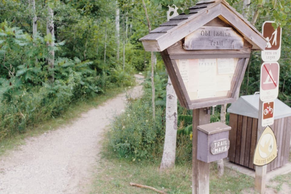 EasyOld Indian Green Arrow Loop2.3 mi · 1.3 hr · At the trailheadGentle woodland dune loop, with an optional Lake Michigan beach spur.
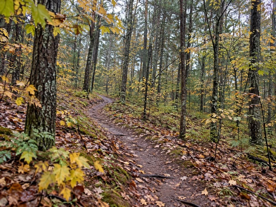 ModerateLasso Loop Trail7.6 mi · 4 hr · 3.5 mi awaySoft sand, old dune ridges and a bay view toward the islands.
 EasyBass Lake Loop3.5 mi · 2 hr · 6.3 mi awayAn easy 3.5-mile circuit through forest, lake, and wetland
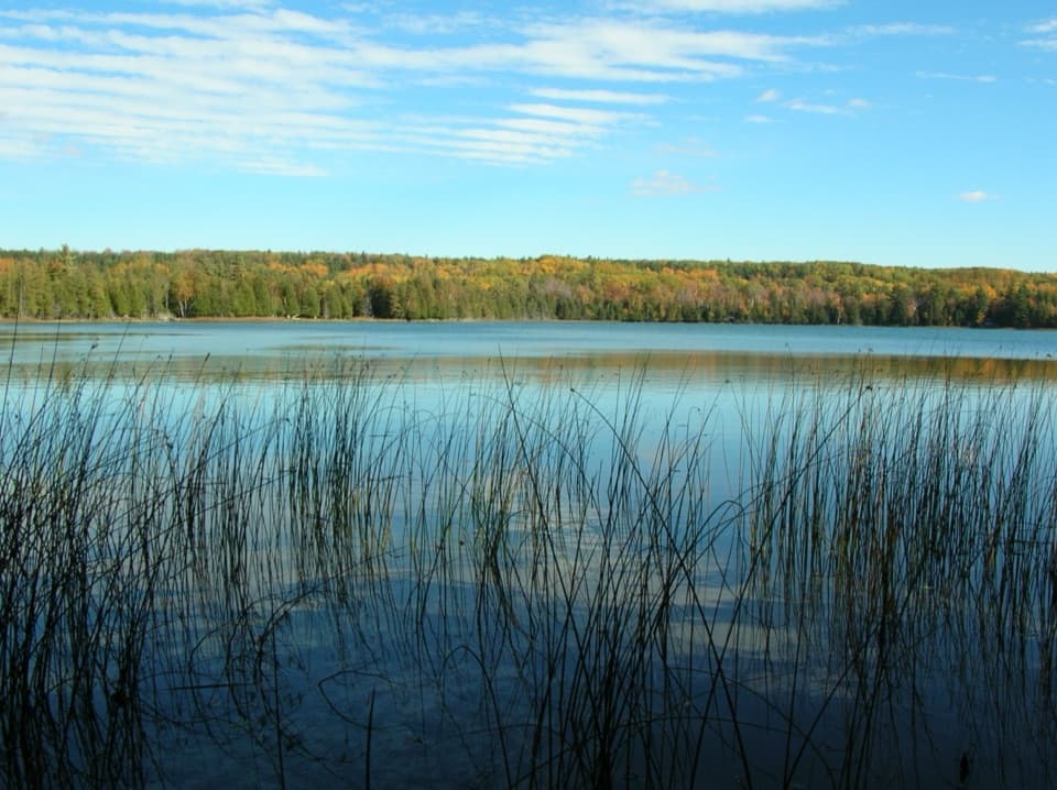 EasyOtter Creek Loop4.6 mi · 2.3 hr · 6.8 mi awayA flat forest loop meets Otter Creek and old Aral's dock pilings.
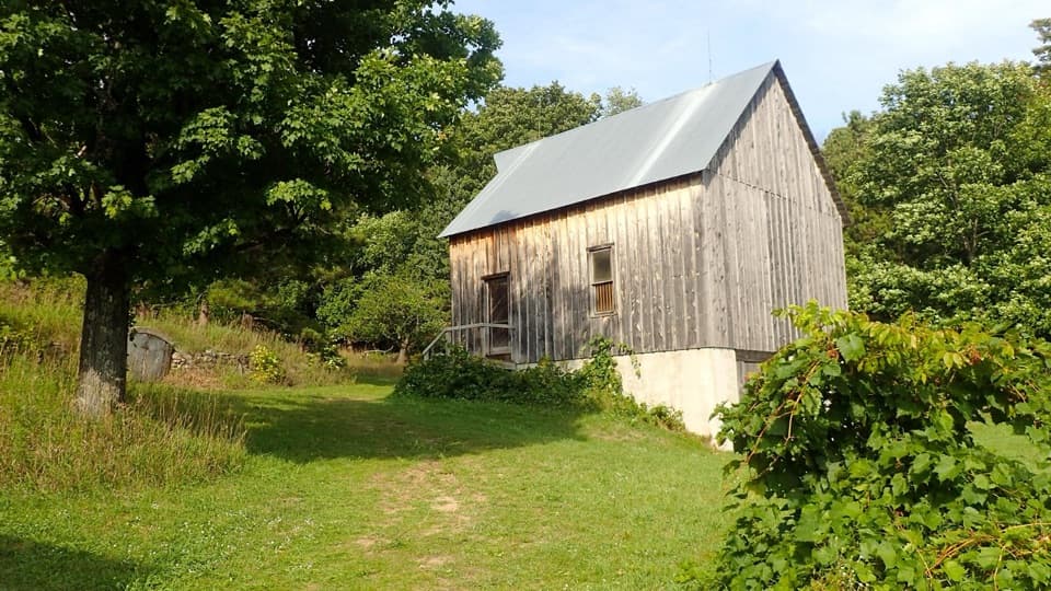 EasyTreat Farm Trail1.2 mi · 1 hr · 8.8 mi awayA short woods walk reaches a barn rebuilt piece by piece.
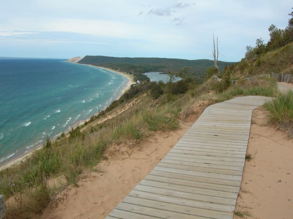 ModerateEmpire Bluff Trail1.5 mi · 1 hr · 9.1 mi awayA short wooded climb to the Lake Michigan double-dune view.
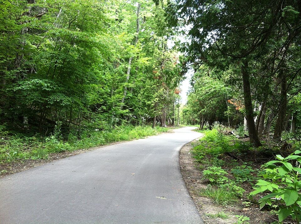 ModerateSleeping Bear Heritage Trail20 mi · 9 hr · 10.9 mi awayA long, varied route through dunes, village streets and farm country.
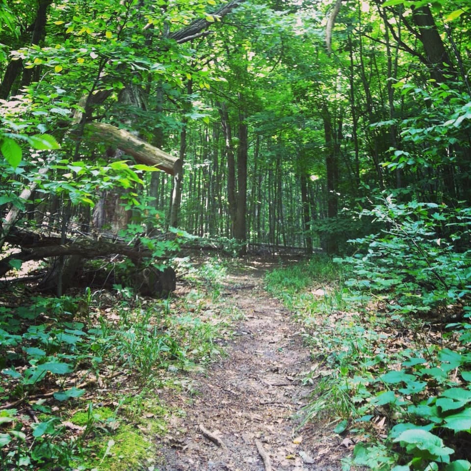 ModerateShauger Hill Trail2.4 mi · 1.3 hr · 12.6 mi awayA shaded woodland loop for wildflowers, without lake views.
 Sight · 0.5 mi awayKen-Tuck-U-InnA 1925 mail-order inn tells Aral’s logging-to-tourism story.
 Sight · 0.7 mi awayRound Lake AccessA two-track reaches a small-boat launch on Round Lake.
 Sight · 1.8 mi awayBoekeloo LodgeA cabin and hand-dug pond where a cranberry bog never took hold.
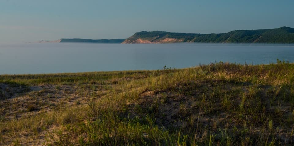 Beach · 2.5 mi awayPlatte River Point BeachWade the river, then step into Lake Michigan.
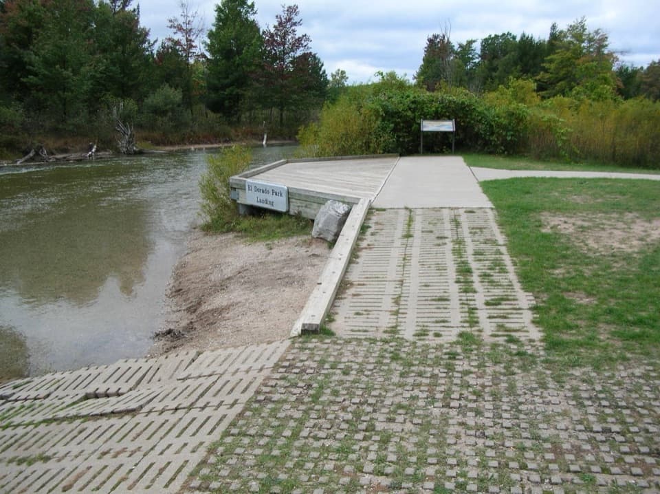 Sight · 2.6 mi awayEl Dorado Platte River AccessA compact put-in for an easy one-mile float to Lake Michigan.
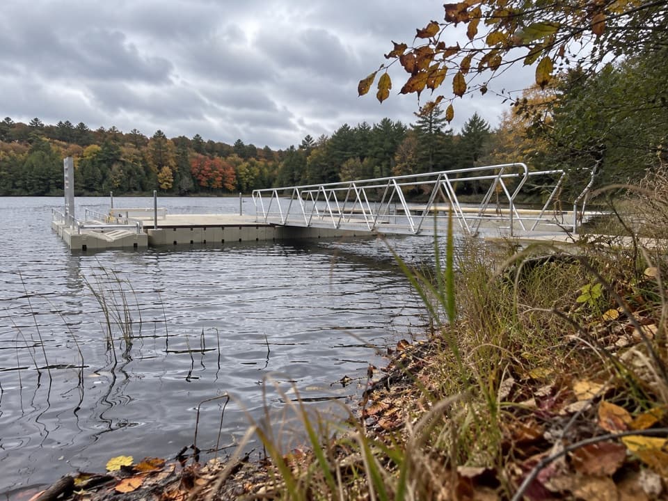 Sight · 2.9 mi awayLoon Lake AccessA slow-water launch with a fishing dock and picnic area.
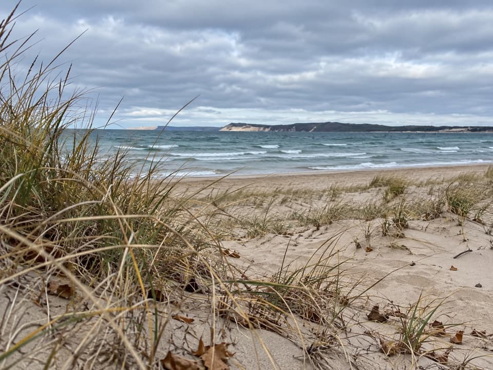 Beach · 3.1 mi awayTiesma Road BeachA quiet Lake Michigan shore reached by a soft-sand dune climb.
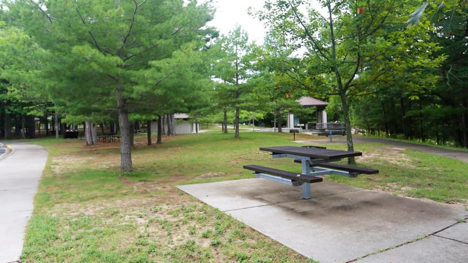 Picnic area · 3.3 mi awayPlatte River Picnic AreaA shady picnic stop with river access and a one-hour float option.
Parkwolf’s Sleeping Bear Dunes ranking

The audio tour guide for the drive, plus offline maps, trails, and wildlife heatmaps for when the signal drops.