Parking
Start at the Ranger Station beside the South Manitou landing. Passenger trips normally depart from Fishtown Dock in Leland; check current island access and the required park pass before planning.
Sleeping Bear Dunes National Lakeshore, MI
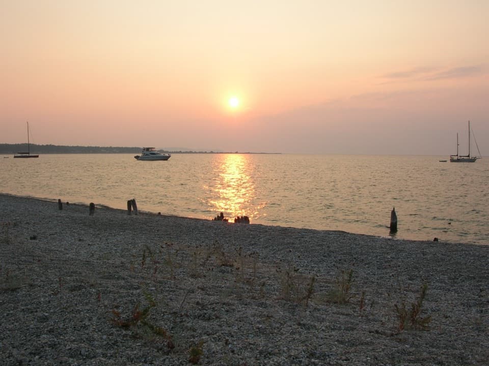
A short shore walk to South Manitou's old dock and cemetery.
Overview
Map & elevation
Plan your hike

The highest, rockiest slopes around here are a summer buffet for grizzly bears.
Sleeping Bear Dunes Tour Guide
Parkwolf is a GPS audio tour guide for Sleeping Bear Dunes National Lakeshore. As you drive, it chimes in with what’s ahead: hidden gems, upcoming stops, history, geology, and wildlife, right through your car’s speakers.
“Fantastic app with many points of information… It’s great to just turn on while you’re driving and it gives you an audio tour of the national Park. We love it!!!!”


Trail guide
Old Cemetery via Beach is a 2.0-mile round trip from South Manitou’s Ranger Station to the old dock and cemetery on the island’s east shore. This is the beach route, not the separate 4.6-mile Cemetery via Road to the island’s main cemetery. The park map lists the destination and distance but doesn’t draw a detailed walking line.
Plan on about an hour; that’s an estimate from the two-mile walk, since no time or difficulty is posted. The route is nearly level, with a gravel beach and old dock pilings at the end. The exact beach path and footing aren’t described, so confirm which shoreline section is passable before setting out. The exact beach path is not drawn on the park map, so treat this shoreline route as an approximate trace rather than a signed, precise track.
William Burton and his family settled South Manitou around 1835, and by 1838 he had a house and steamboat landing here. In 1847, the village included a blacksmith shop, grocery, and barn; a wooden track several miles long carried cordwood to the dock. A little up Chicago Road from the beach, look for the old store foundation and a few graves of early settlers and sailors. Most of the village is gone, so the surviving pilings are a clear clue to where it stood.
A Sleeping Bear Dunes pass is required, and pets aren’t allowed anywhere on South Manitou Island. The hike starts by the village landing; check current island transportation and access rules before leaving Leland. There’s no food service or store on the island, so plan that part on the mainland.
Wildlife
 27 sightingsPiping PloverMost seen around 6 PMSighting map
 70 sightingsBald EagleMost seen around 10 AMSighting map
 56 sightingsWhite-tailed DeerMost seen around 6 AMSighting map
 68 sightingsSandhill CraneMost seen around 7 AMSighting map
 58 sightingsPorcupineMost seen around 8 PMSighting map
 31 sightingsLoonMost seen around 5 PMSighting map
Sighting maps show where each species has been reported across Sleeping Bear Dunes. Wildlife moves, so no sighting is guaranteed.
Keep exploring
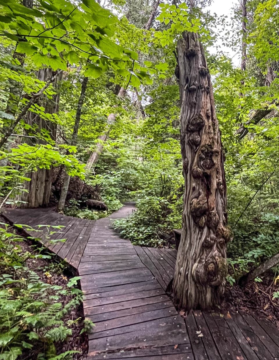 ModerateSouth Manitou Old Growth Cedars Trail6.9 mi · 3.5 hr · At the trailheadA boardwalk through ancient cedars after a full island walk.
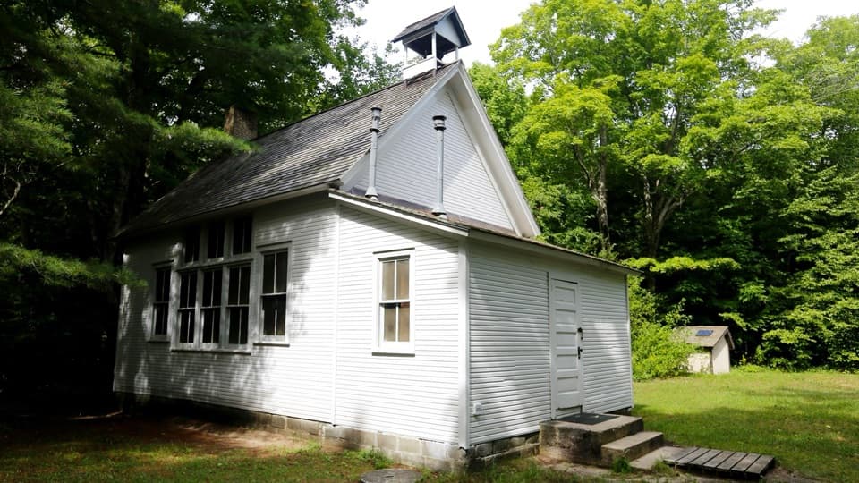 EasySouth Manitou School House Trail3 mi · 1.8 hr · At the trailheadA three-mile island walk to a one-room schoolhouse from 1899.
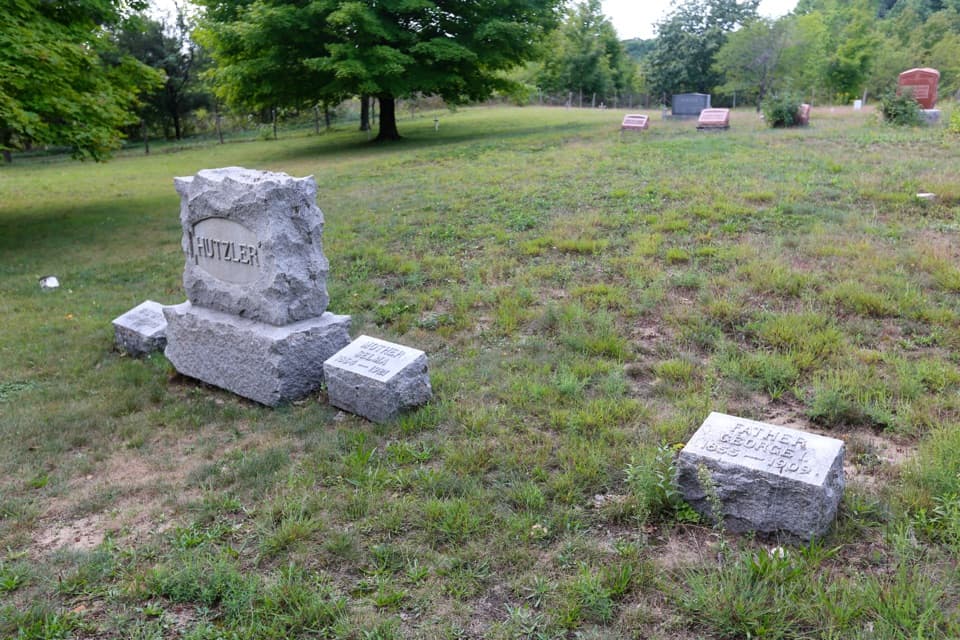 EasySouth Manitou Cemetery Trail4.6 mi · 2.5 hr · At the trailheadAn easy island road walk to the main historic cemetery.
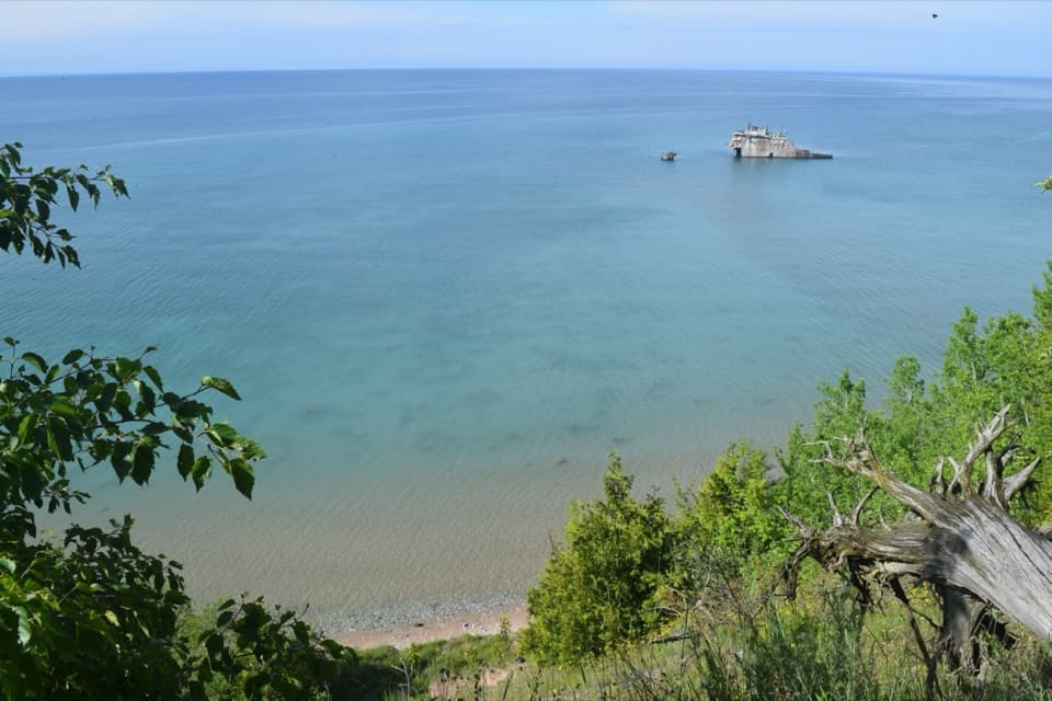 ModerateFrancisco Morazan Shipwreck Trail6 mi · 3.5 hr · At the trailheadLook down from the bluff at a freighter stranded in 1960.
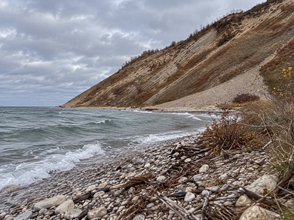 ChallengingSouth Manitou West Side Dunes Trail7.4 mi · 4.5 hr · At the trailheadA hard climb ends with Lake Michigan in every direction.
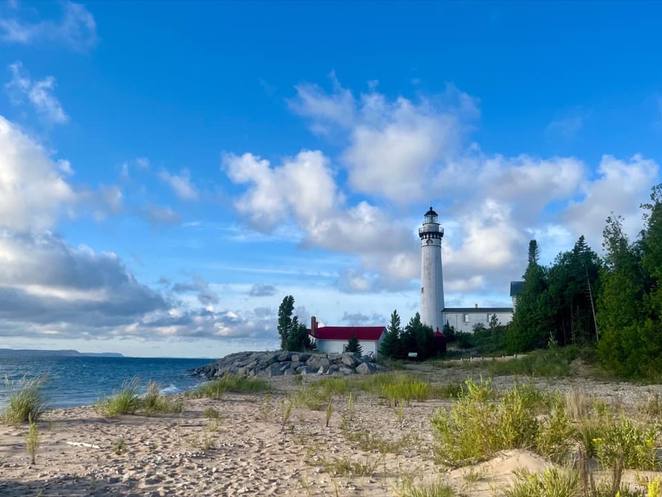 EasySouth Manitou Lighthouse Hike0.6 mi · 30 min · At the trailheadA short village walk to a Lake Michigan lighthouse.
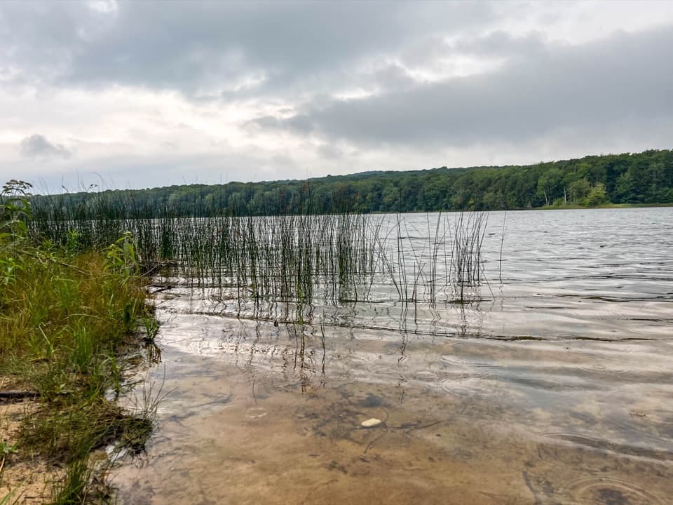 EasyFlorence Lake Trail2.5 mi · 1.5 hr · At the trailheadA short village walk to Florence Lake's sandy shore.
 EasySwenson’s Barn Trail0.3 mi · 15 min · 7.3 mi awayA signed spur leads to an intact two-story island barn.
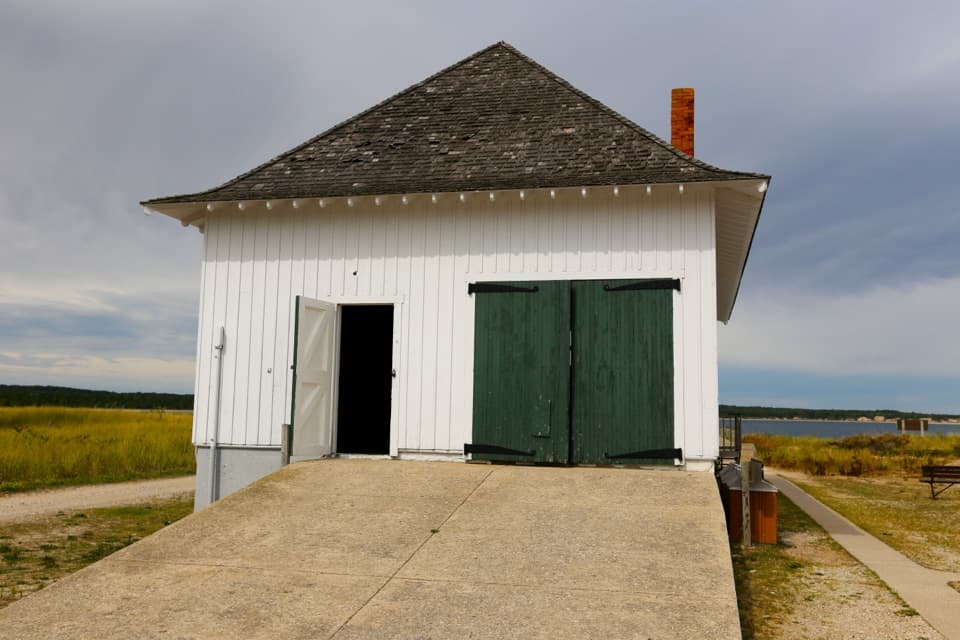 Sight · At the trailheadSouth Manitou Boat House and Contact StationA dockside boathouse built for perilous Great Lakes rescues.
 Visitor center · 0.1 mi awaySouth Manitou Island Visitor CenterA home, post office, general store, and island museum under one roof.
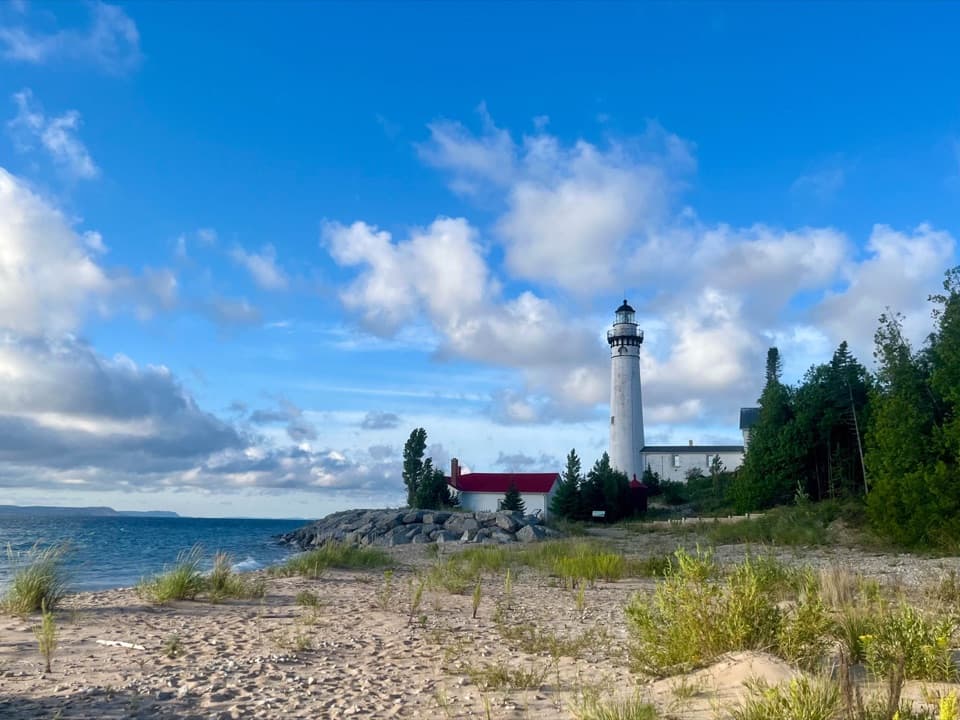 Sight · 0.3 mi awaySouth Manitou Lighthouse ComplexThe 117-step climb opens a wide view across the Manitou Passage.
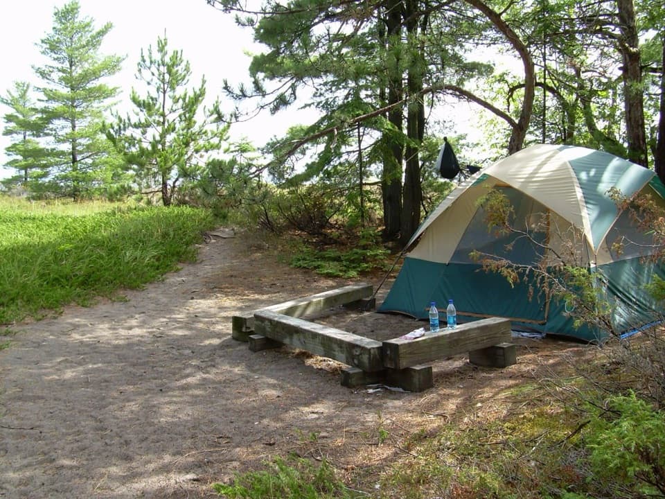 Campground · 0.6 mi awayBay Campground — South Manitou IslandA walk-in island campground close to South Manitou’s dock.
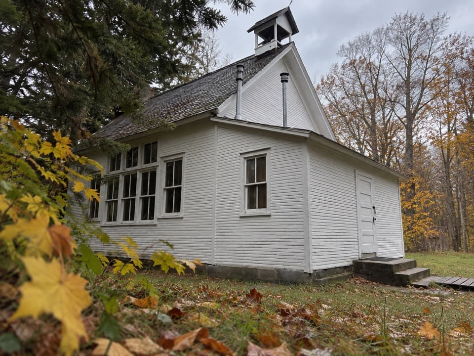
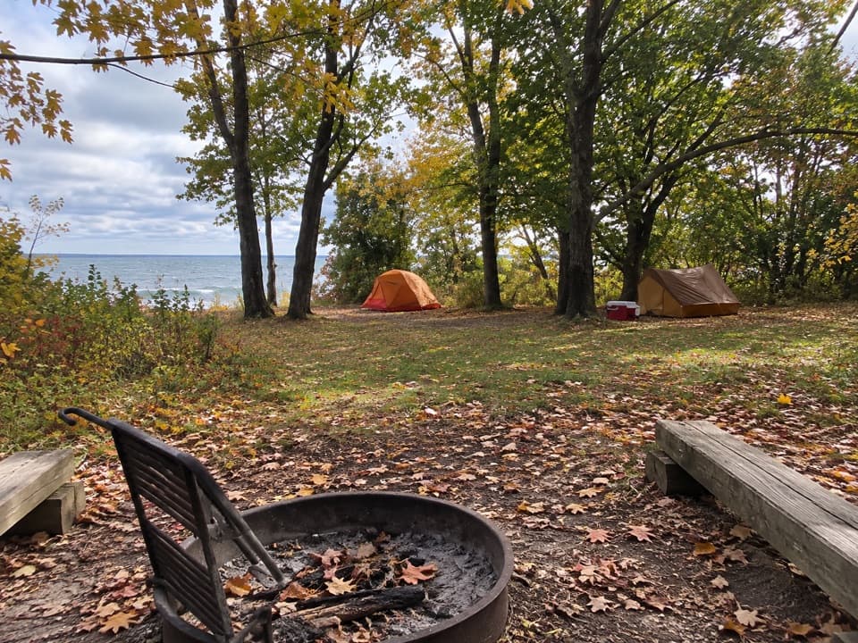 Campground · 1 mi awayWeather Station Campground — South Manitou IslandA quiet island camp with passage views and a real gear haul.Sight · 1.1 mi awaySouth Manitou Island SchoolhouseEight grades fit in one room, and the island gathered there.
 Sight · 1.6 mi awaySouth Manitou Island CemeteryA quiet island walk into the stories behind the gravestones.
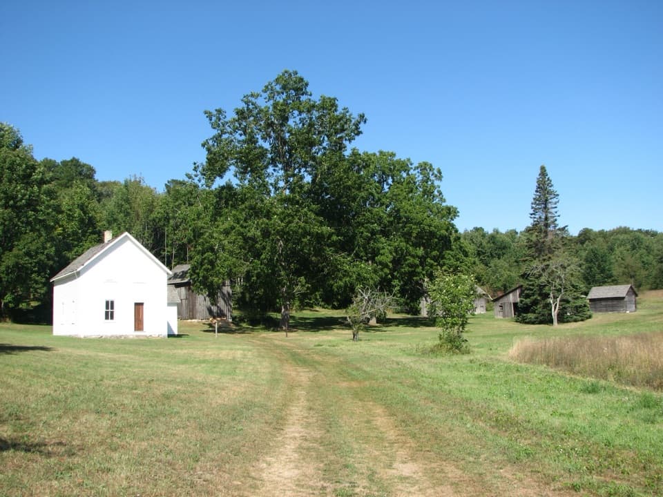 Sight · 1.9 mi awayGeorge Conrad Hutzler FarmAn island farm where isolation helped transform American rye.
Parkwolf’s Sleeping Bear Dunes ranking

The audio tour guide for the drive, plus offline maps, trails, and wildlife heatmaps for when the signal drops.