Parking
Start at the Ranger Station in the island village. The trail has no road access from the mainland; check current authorized boat service and landing arrangements with the park before planning.
Sleeping Bear Dunes National Lakeshore, MI
An easy island road walk to the main historic cemetery.
Overview
Map & elevation
Plan your hike

The highest, rockiest slopes around here are a summer buffet for grizzly bears.
Sleeping Bear Dunes Tour Guide
Parkwolf is a GPS audio tour guide for Sleeping Bear Dunes National Lakeshore. As you drive, it chimes in with what’s ahead: hidden gems, upcoming stops, history, geology, and wildlife, right through your car’s speakers.
“Fantastic app with many points of information… It’s great to just turn on while you’re driving and it gives you an audio tour of the national Park. We love it!!!!”


Trail guide
South Manitou Cemetery Trail is a 4.6-mile out-and-back from the Ranger Station to the island’s main historic cemetery. The route goes west from the village, then north on an unpaved road to the cemetery, about a mile beyond the old schoolhouse. You return by the same road. Allow about 2½ hours; the distance, rather than a big climb, is the main commitment.
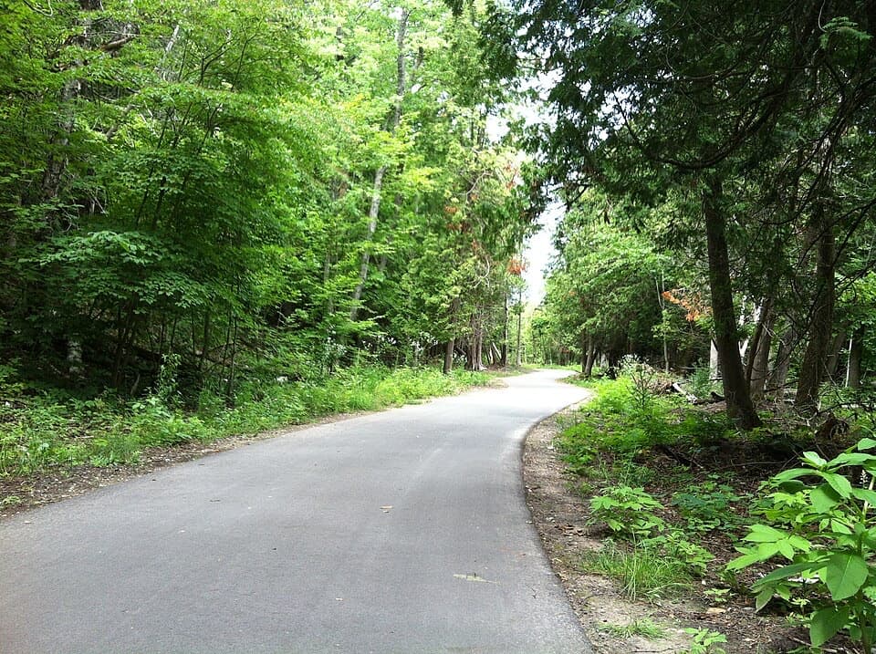
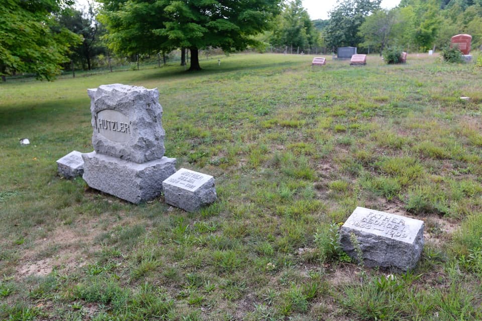
This is an inland road walk, not a dune crossing or a shoreline hike. The unpaved track and footway lead through the island’s historic interior to a small cemetery in a grassy clearing among trees. The cemetery is the route’s main payoff, so choose it for island history rather than a dunes or shoreline walk.
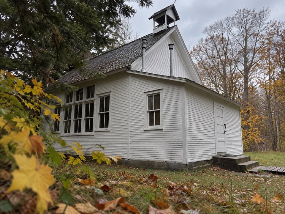
The village schoolhouse, passed on the way north, dates to 1899 and served grades one through eight. Teachers also took on nursing and other jobs in a small island community. The cemetery holds descendants of several early island families. Aaron and Julia Sheridan and their son Robert drowned in a boating accident in 1878 while returning to the island; their descendants placed markers for them here in 2006. Bertha Peth, who spent most of her adult life on South Manitou, was remembered locally as the “Island Queen.”
Pets aren’t allowed on the island, and a park pass is required. There’s no food service, store, or medical center on the island. Start at the Ranger Station in the village and check the park’s current boat access and landing arrangements before planning the trip. If you want a much shorter village walk, the lighthouse route is listed at 0.6 miles round trip from the same starting area.
Wildlife
 27 sightingsPiping PloverMost seen around 6 PMSighting map
 70 sightingsBald EagleMost seen around 10 AMSighting map
 56 sightingsWhite-tailed DeerMost seen around 6 AMSighting map
 68 sightingsSandhill CraneMost seen around 7 AMSighting map
 58 sightingsPorcupineMost seen around 8 PMSighting map
 31 sightingsLoonMost seen around 5 PMSighting map
Sighting maps show where each species has been reported across Sleeping Bear Dunes. Wildlife moves, so no sighting is guaranteed.
Keep exploring
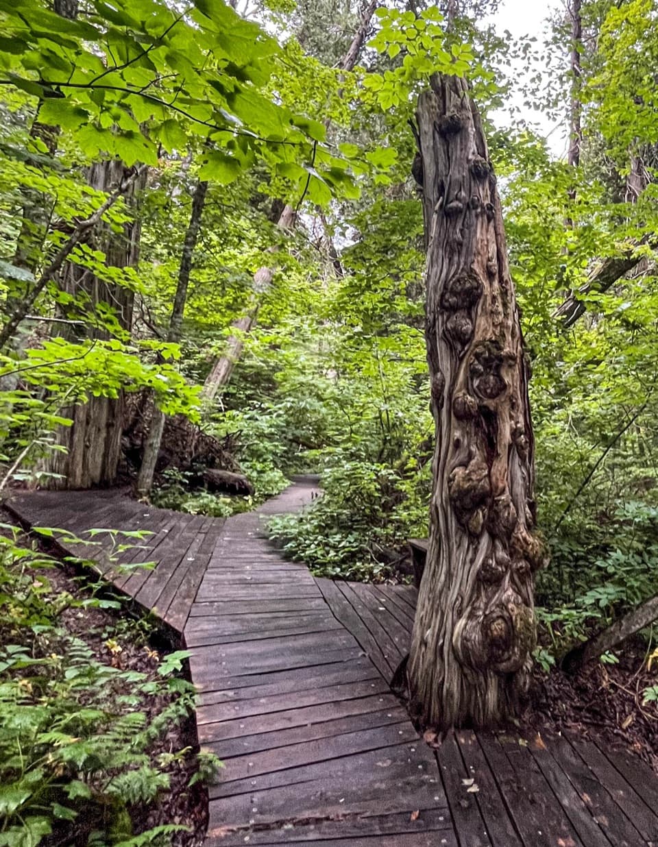 ModerateSouth Manitou Old Growth Cedars Trail6.9 mi · 3.5 hr · At the trailheadA boardwalk through ancient cedars after a full island walk.
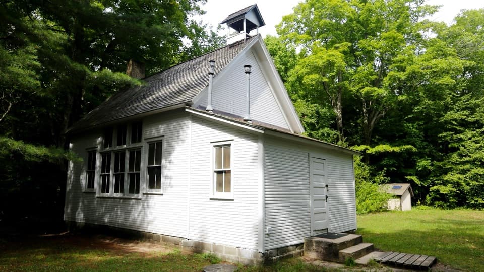 EasySouth Manitou School House Trail3 mi · 1.8 hr · At the trailheadA three-mile island walk to a one-room schoolhouse from 1899.
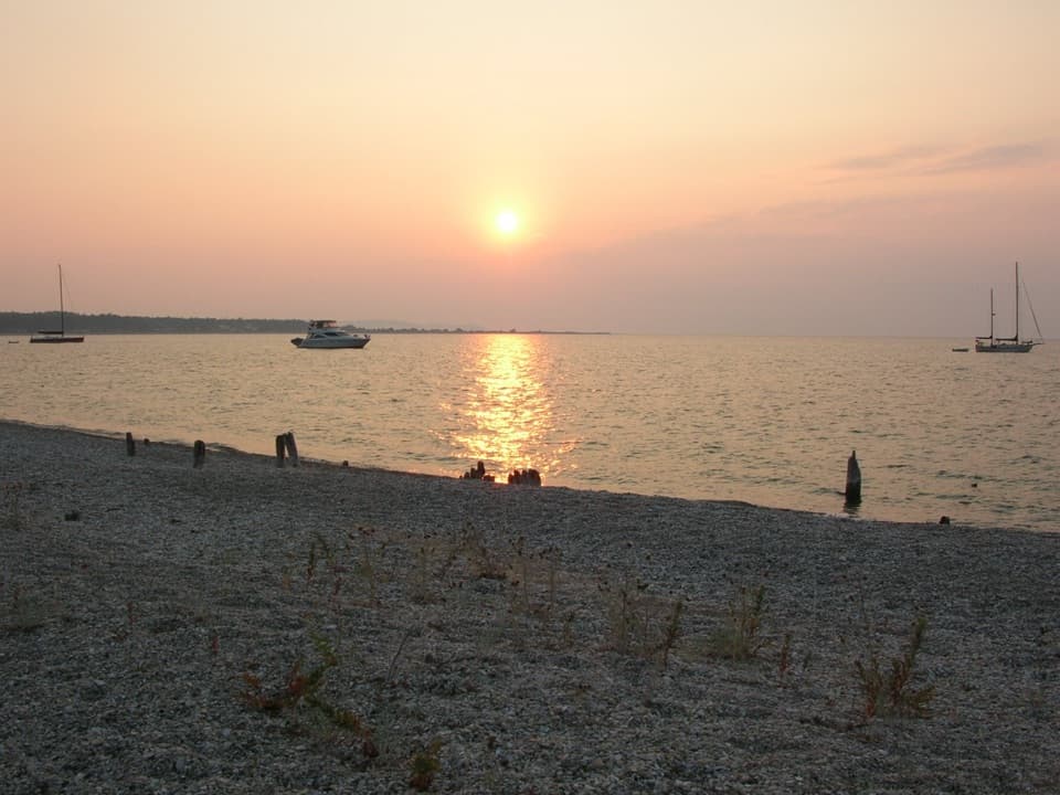 EasyOld Cemetery via Beach2 mi · 1 hr · At the trailheadA short shore walk to South Manitou's old dock and cemetery.
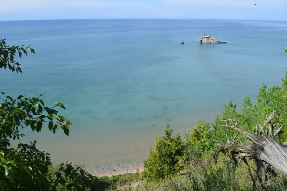 ModerateFrancisco Morazan Shipwreck Trail6 mi · 3.5 hr · At the trailheadLook down from the bluff at a freighter stranded in 1960.
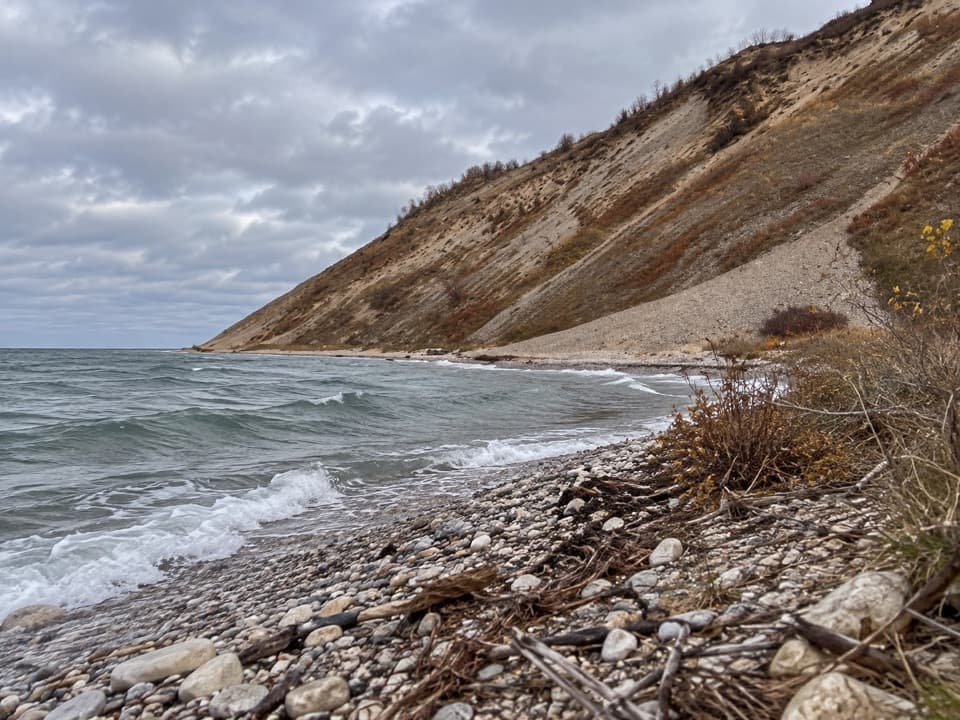 ChallengingSouth Manitou West Side Dunes Trail7.4 mi · 4.5 hr · At the trailheadA hard climb ends with Lake Michigan in every direction.
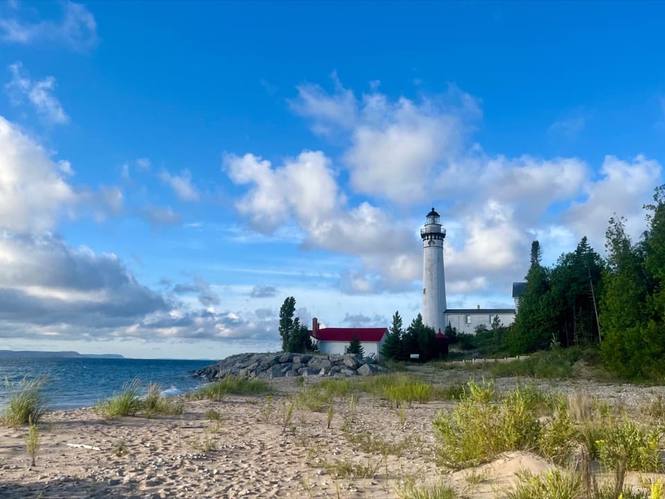 EasySouth Manitou Lighthouse Hike0.6 mi · 30 min · At the trailheadA short village walk to a Lake Michigan lighthouse.
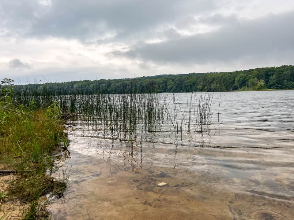 EasyFlorence Lake Trail2.5 mi · 1.5 hr · At the trailheadA short village walk to Florence Lake's sandy shore.
 EasySwenson’s Barn Trail0.3 mi · 15 min · 7.3 mi awayA signed spur leads to an intact two-story island barn.
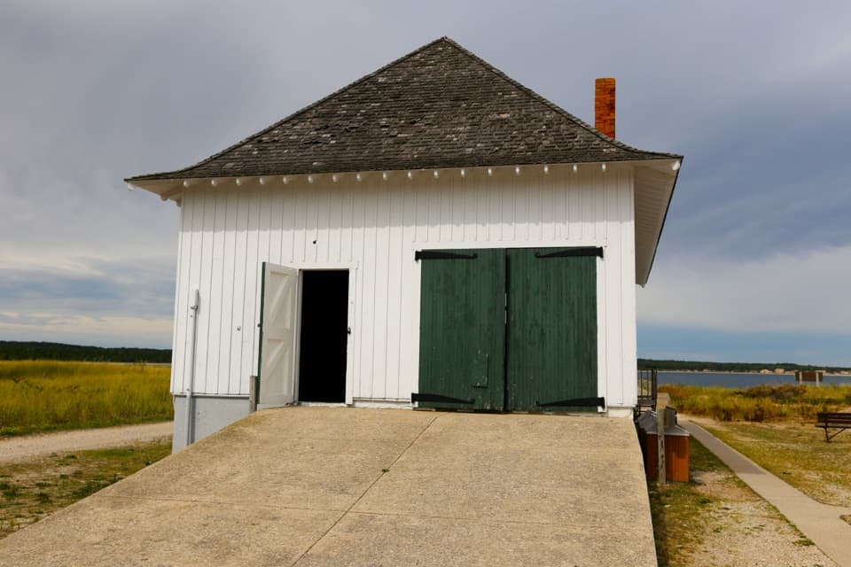 Sight · At the trailheadSouth Manitou Boat House and Contact StationA dockside boathouse built for perilous Great Lakes rescues.
 Visitor center · 0.1 mi awaySouth Manitou Island Visitor CenterA home, post office, general store, and island museum under one roof.
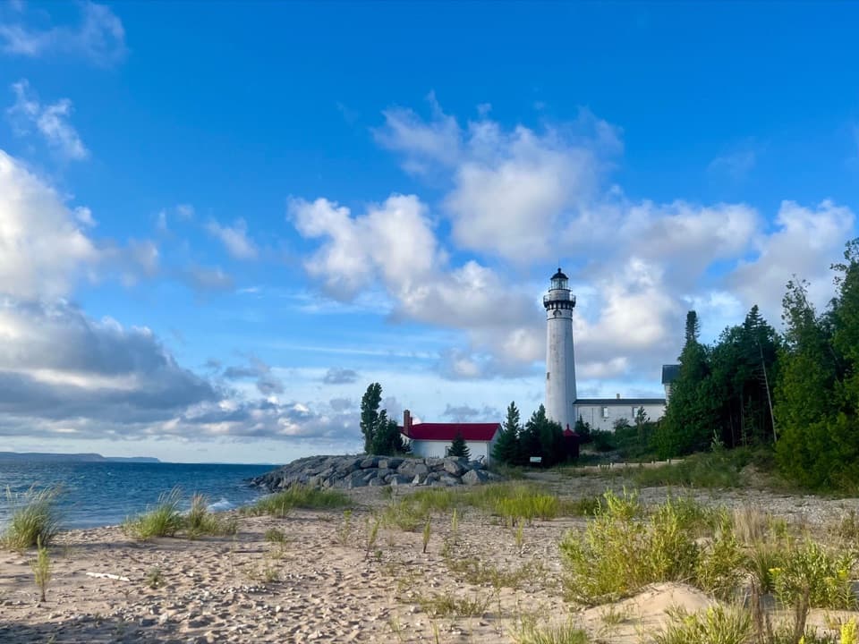 Sight · 0.3 mi awaySouth Manitou Lighthouse ComplexThe 117-step climb opens a wide view across the Manitou Passage.
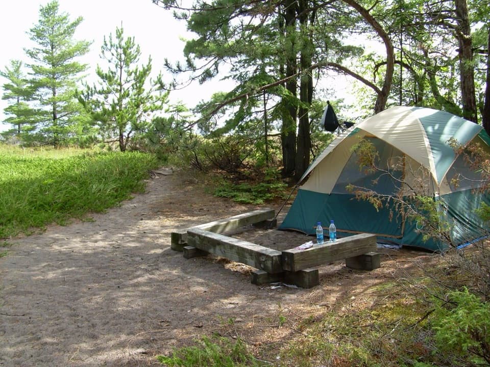 Campground · 0.6 mi awayBay Campground — South Manitou IslandA walk-in island campground close to South Manitou’s dock.
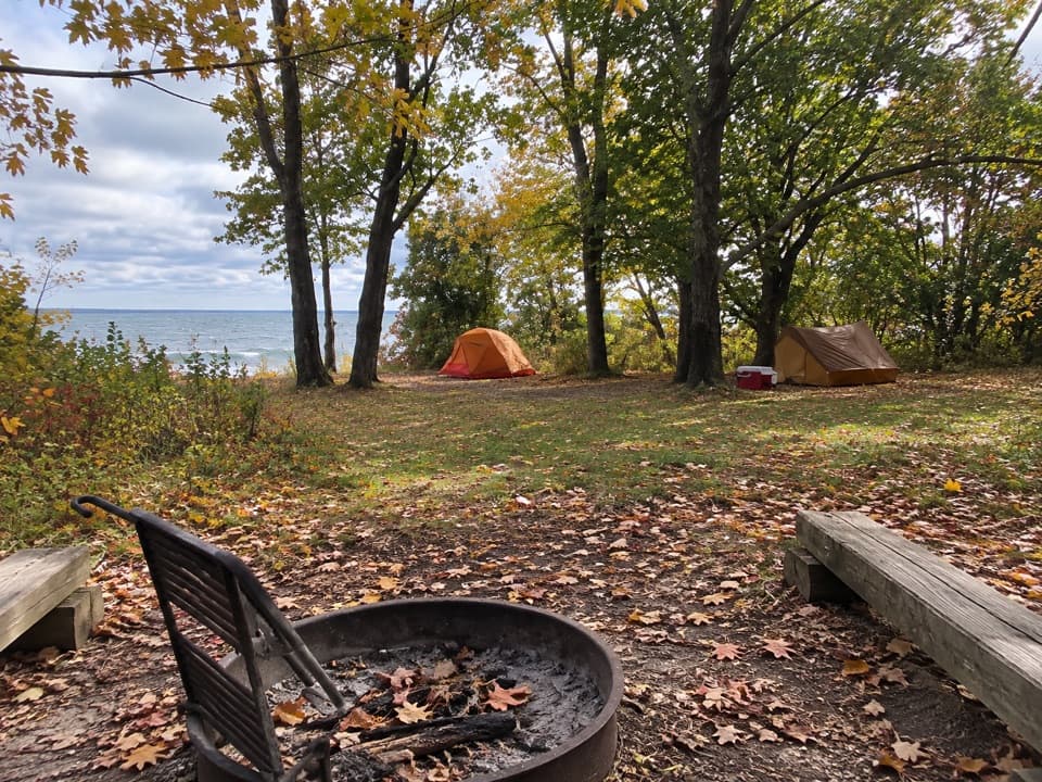 Campground · 1 mi awayWeather Station Campground — South Manitou IslandA quiet island camp with passage views and a real gear haul.Sight · 1.1 mi awaySouth Manitou Island SchoolhouseEight grades fit in one room, and the island gathered there.
 Sight · 1.6 mi awaySouth Manitou Island CemeteryA quiet island walk into the stories behind the gravestones.
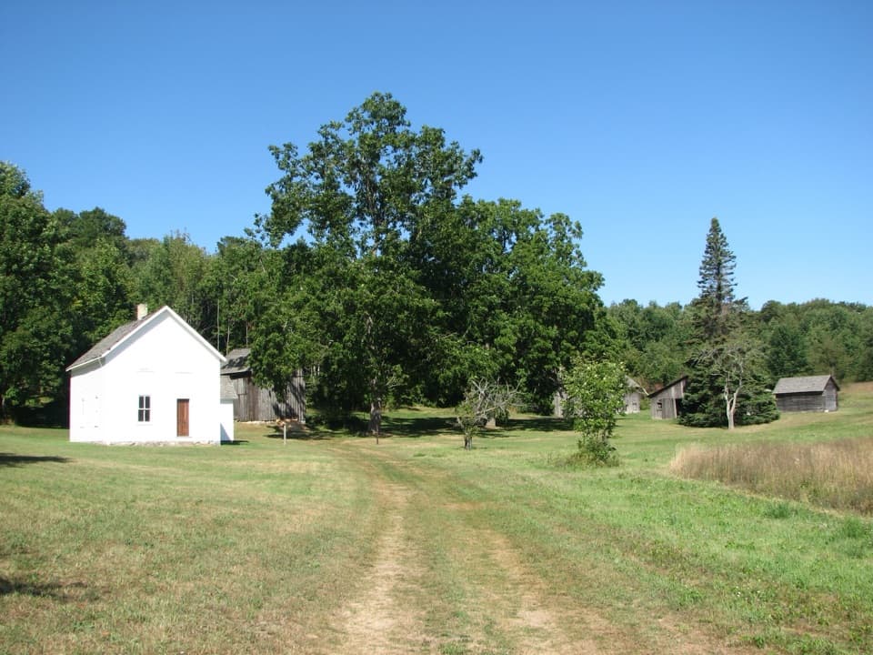 Sight · 1.9 mi awayGeorge Conrad Hutzler FarmAn island farm where isolation helped transform American rye.
Parkwolf’s Sleeping Bear Dunes ranking

The audio tour guide for the drive, plus offline maps, trails, and wildlife heatmaps for when the signal drops.