Weather Station Campground — South Manitou Island in Sleeping Bear Dunes National Lakeshore

Campground · Sleeping Bear Dunes National Lakeshore

Weather Station Campground — South Manitou Island

A quiet island camp with passage views and a real gear haul.

Overview

About Weather Station Campground — South Manitou Island

Why stop

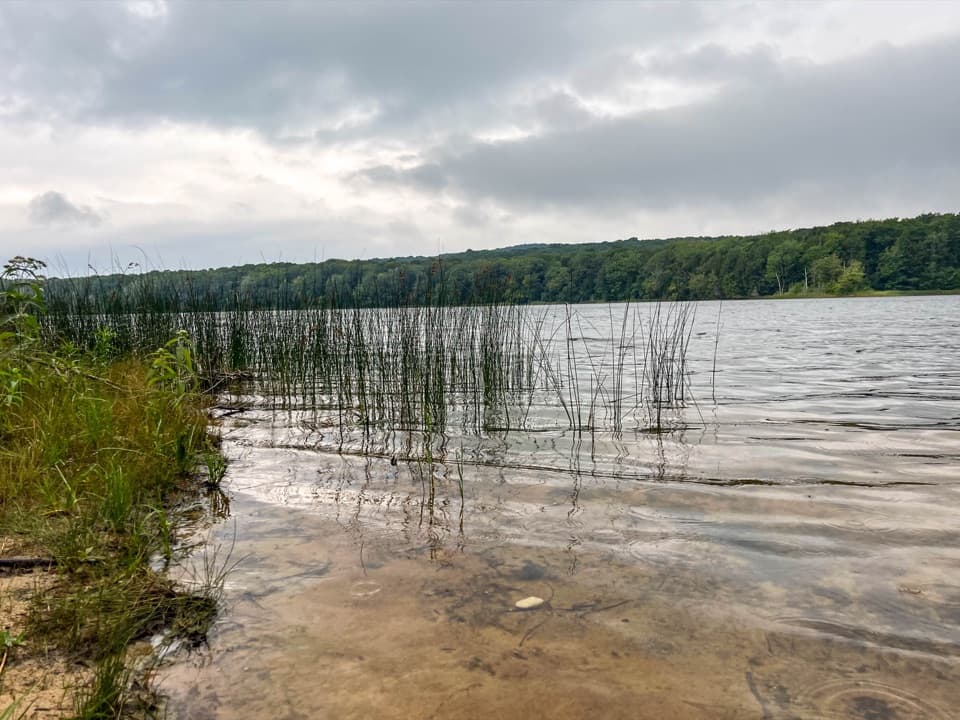
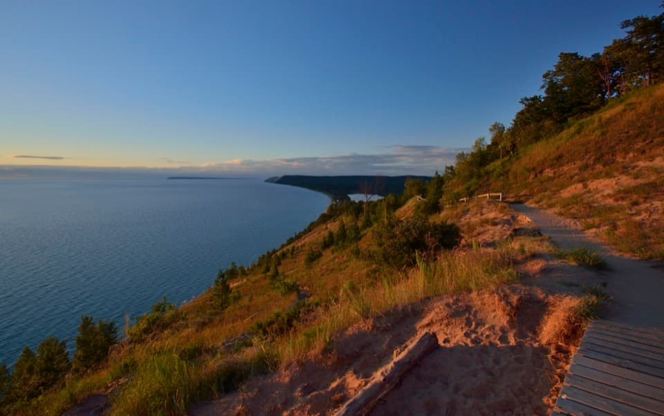
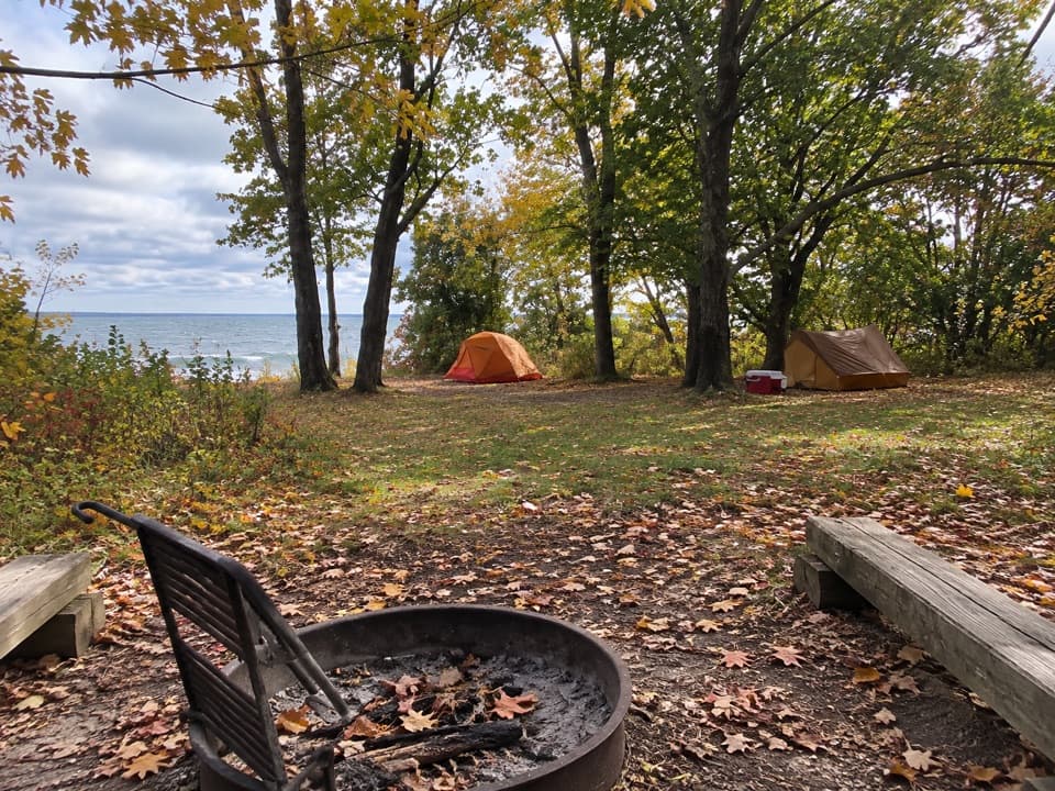
  • Wooded, fairly secluded sites have views across Manitou Passage.

Heads up

  • A 1.3-mile gear carry and no island resupply make this a trip to plan.

Map

Where it is

Loading the Sleeping Bear Dunes map
Full map
CampgroundWeather Station Campground — South Manitou Island45.00255, -86.11079
Keep this map with you offline in the Parkwolf app

Plan your stop

Before you go

Getting there takes a gear carry

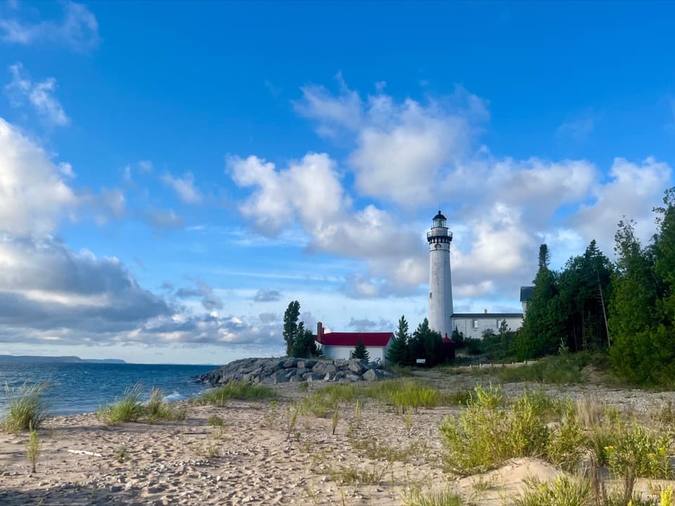
In an ordinary ferry season, the walk from the dock is about 1.3 miles with your gear. The scenic route passes the lighthouse; a road route is easier underfoot but less scenic. Bring all your food and supplies—there are no shops or food service on the island. Potable water is available only in the village, so carry enough for camp and bring a filter or other treatment. A backcountry permit is required; individual sites are first-come, first-served, while group sites need a reservation. Pets aren't allowed, and fires are limited to communal metal rings.


1 active Sleeping Bear Dunes alert

  • ClosureManitou Islands access closures during 2026 constructionNorth and South Manitou Islands have limited visitor access throughout the 2026 season: all facilities, docks, and utilities on both islands remain closed during major construction.Official details
Sleeping Bear Dunes alerts
A park ranger sits on a dash-mounted phone, talking, as Parkwolf’s Tour Guide plays “Army Cutworm Moths: A Grizzly Bear Buffet” on Grand Loop Road below Dunraven Pass in Yellowstone
Parkwolf Tour GuideThe highest, rockiest slopes around here are a summer buffet for grizzly bears.

Sleeping Bear Dunes Tour Guide

Your drive to Weather Station Campground — South Manitou Island, narrated.

Parkwolf is a GPS audio tour guide for Sleeping Bear Dunes National Lakeshore. As you drive, it chimes in with what’s ahead: hidden gems, upcoming stops, history, geology, and wildlife, right through your car’s speakers.

  • 73 audio storiesacross Sleeping Bear Dunes’s roads, triggered by GPS as you drive
  • Wildlife heatmapsfor Piping Plover, Bald Eagle, White-tailed Deer, and 13 more
  • Works offlinemaps, 34 trails, 89 places, and audio download before you lose signal
  • CarPlay readysimple controls built for the drive
★★★★★
“Fantastic app with many points of information… It’s great to just turn on while you’re driving and it gives you an audio tour of the national Park. We love it!!!!”
JMJamesApp Store review
Download Parkwolf on the App StoreGet Parkwolf on Google Play

4.7 from 8,600+ ratings

Guide

More about Weather Station Campground — South Manitou Island

A wooded camp above Manitou PassageWeather Station is a backcountry campground on the south side of South Manitou Island, about a…

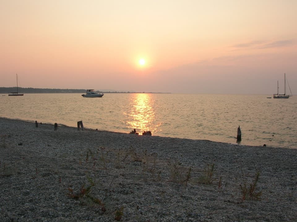
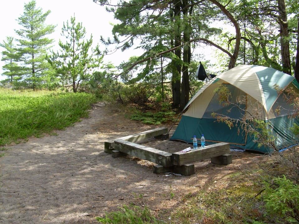
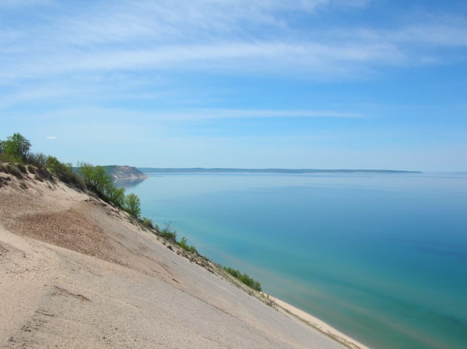
Weather Station is a backcountry campground on the south side of South Manitou Island, about a mile beyond the lighthouse. It has 20 individual sites and three group sites on sandy ground among young forest. The sites are fairly secluded, with openings toward Manitou Passage and Sleeping Bear Dunes across the water. Come for a quiet island base, not a quick car-access stop.

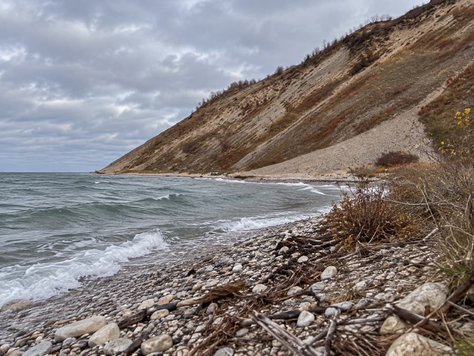
Sand, forest and water viewsThe island's tilted limestone ridge is buried under glacial debris, and the campground sits on…

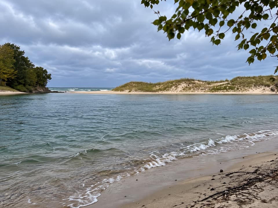
The island's tilted limestone ridge is buried under glacial debris, and the campground sits on sandy soil among younger forest. Trees screen the sites from one another, then open toward the passage and mainland dunes. It is a self-sufficient camp: pack for a real walk and plan your water before leaving the village.

Keep walking to the wreck and cedarsIsland routes continue from the campground toward the Francisco Morazan shipwreck and an…

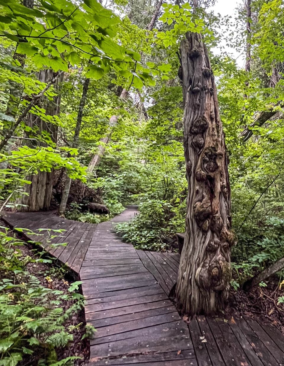
Island routes continue from the campground toward the Francisco Morazan shipwreck and an old-growth cedar grove. The freighter ran aground on the south shore after snow squalls and strong northwest winds on November 28, 1960; its crew survived, but the ship and its cargo were lost. A fallen cedar at the grove was counted at 528 growth rings, a striking measure of the island’s old forest.

Wildlife

Wildlife in Sleeping Bear Dunes

All Sleeping Bear Dunes wildlife maps

Sighting maps show where each species has been reported across Sleeping Bear Dunes. Wildlife moves, so no sighting is guaranteed.

Keep exploring

Near Weather Station Campground — South Manitou Island

See it all on the map

Trails nearby

More stops nearby

Parkwolf’s Sleeping Bear Dunes ranking

Top sights in Sleeping Bear Dunes

All 89 places
  1. 1Dune ClimbSight
  2. 2Lake Michigan OverlookSight
  3. 3Pyramid Point OverlookSight
  4. 4Empire Bluff OverlookSight
  5. 5South Manitou Lighthouse ComplexSight
  6. 6North Bar BeachBeach

Take Parkwolf to Sleeping Bear Dunes.

The audio tour guide for the drive, plus offline maps, trails, and wildlife heatmaps for when the signal drops.

4.7 from 8,600+ ratings

Download Parkwolf on the App StoreGet Parkwolf on Google Play