Parking
Start at the Talkington Trail roadside pullout on Scenic Loop Drive, near mile marker 18. Use this roadside access; the Upper Paddock/Talkington Loop is a different, longer itinerary.
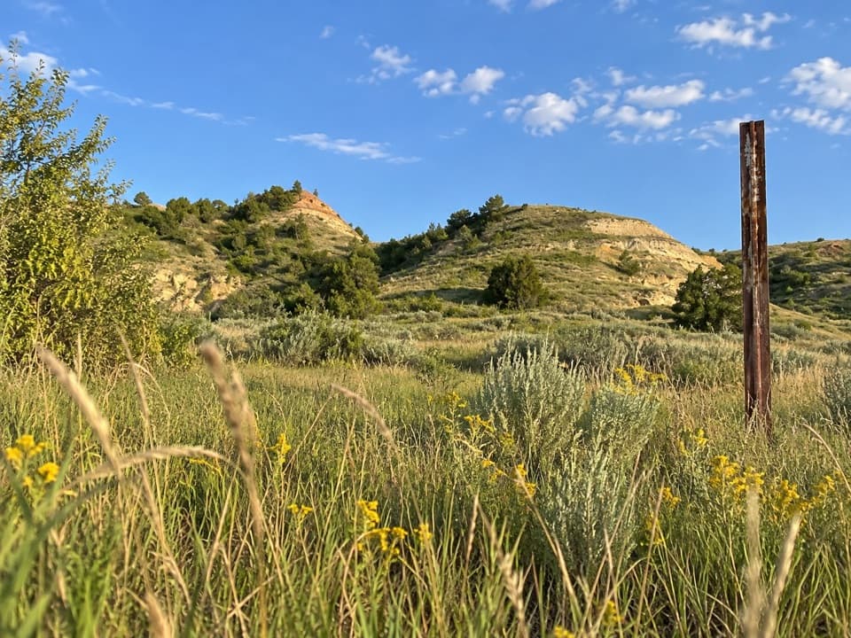
Theodore Roosevelt National Park, ND
A long, exposed walk through a prairie dog town
Overview
Map & elevation
Plan your hike

The highest, rockiest slopes around here are a summer buffet for grizzly bears.
Theodore Roosevelt Tour Guide
Parkwolf is a GPS audio tour guide for Theodore Roosevelt National Park. As you drive, it chimes in with what’s ahead: hidden gems, upcoming stops, history, geology, and wildlife, right through your car’s speakers.
Recorded for this trailhead
Talkington Trailhead: A Half-Day Walk“You're nearing Talkington trailhead, a starting point for a half-day walk through open grassland and badlands.”
Plays as you drive up to this trailhead in the Parkwolf Theodore Roosevelt Tour Guide.
More stories near here in the app
“Fantastic app with many points of information… It’s great to just turn on while you’re driving and it gives you an audio tour of the national Park. We love it!!!!”


Trail guide
Upper Talkington Trail is a 7.6-mile out-and-back from the Talkington roadside pullout near Scenic Loop Drive's mile marker 18 to the Rim Trail junction and back. It crosses open grassland and badland gullies before reaching a flat plateau at Rim Trail. Allow about 3–4 hours. This is a half-day walk for people who want to spend time in open country; it is not a quick overlook stop. The road-to-rim section is about 3.8 miles each way.
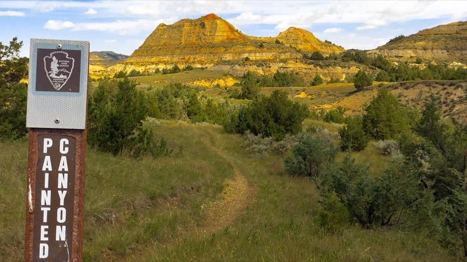
Posts mark most of the way, but the tread becomes hard to see for a short stretch through a prairie dog town. Save an offline map before setting out and avoid summer midday heat; the route is very exposed with little shade. This entry covers only the roadside-to-Rim Trail segment and its return. The Upper Paddock/Talkington Loop is a separate, much longer itinerary that shares part of this trail.
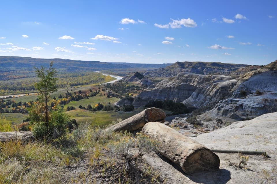
The open route crosses a prairie dog town and rolling badland slopes, then meets Rim Trail on a flat plateau. From that plateau, the western edge drops into the badlands below. Prairie dogs are the wildlife you're most likely to notice, though bison, feral horses, coyotes and pronghorn also live in the area. Keep at least 25 yards from wildlife. Pets are prohibited on park trails, and natural water sources are not potable, so carry the water you need for the return.
Wildlife
 1,082 sightingsBisonMost seen around 6 PMSighting map
 346 sightingsWild HorseMost seen around 7 PMSighting map
 27 sightingsWapitiMost seen around 7 AMSighting map
 45 sightingsBighorn SheepMost seen around 7 AMSighting map
 87 sightingsPronghornMost seen around 6 PMSighting map
 162 sightingsMule DeerMost seen around 8 PMSighting map
Sighting maps show where each species has been reported across Theodore Roosevelt. Wildlife moves, so no sighting is guaranteed.
Keep exploring
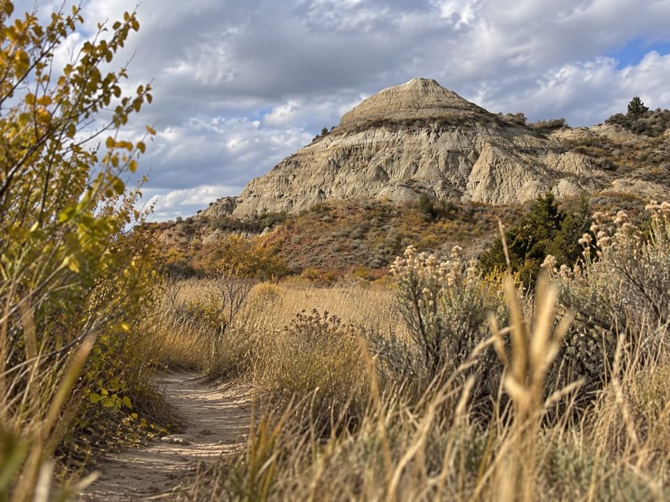 ModerateLower Talkington Trail4.1 mi · 2.5 hr · 0.1 mi awayA dirt traverse into pale badlands above the Jones Creek junction.
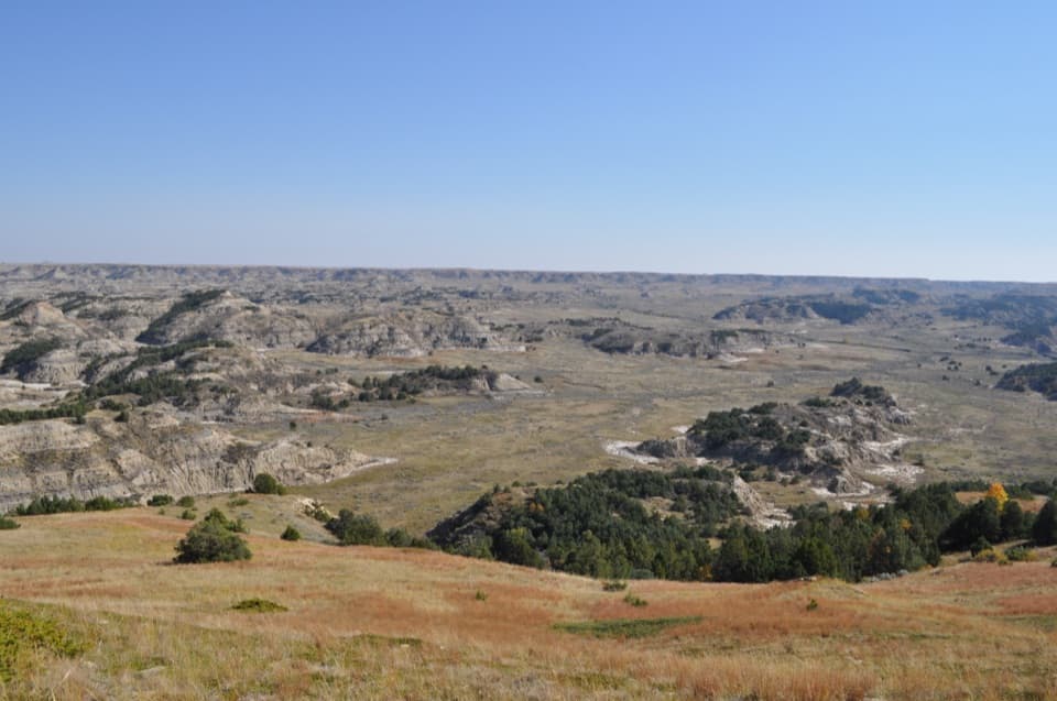 ModerateBuck Hill Trail0.4 mi · 20 min · 1 mi awayA short, steep climb opens the South Unit’s broad Badlands view.
 EasyCoal Vein Trail0.8 mi · 39 min · 1.4 mi awayA short badlands loop through the remains of an underground coal fire.
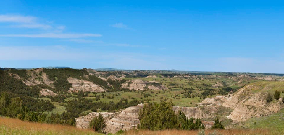 EasyBoicourt Overlook Trail0.8 mi · 30 min · 1.7 mi awayA paved start, then a narrow ridge with a panoramic payoff.
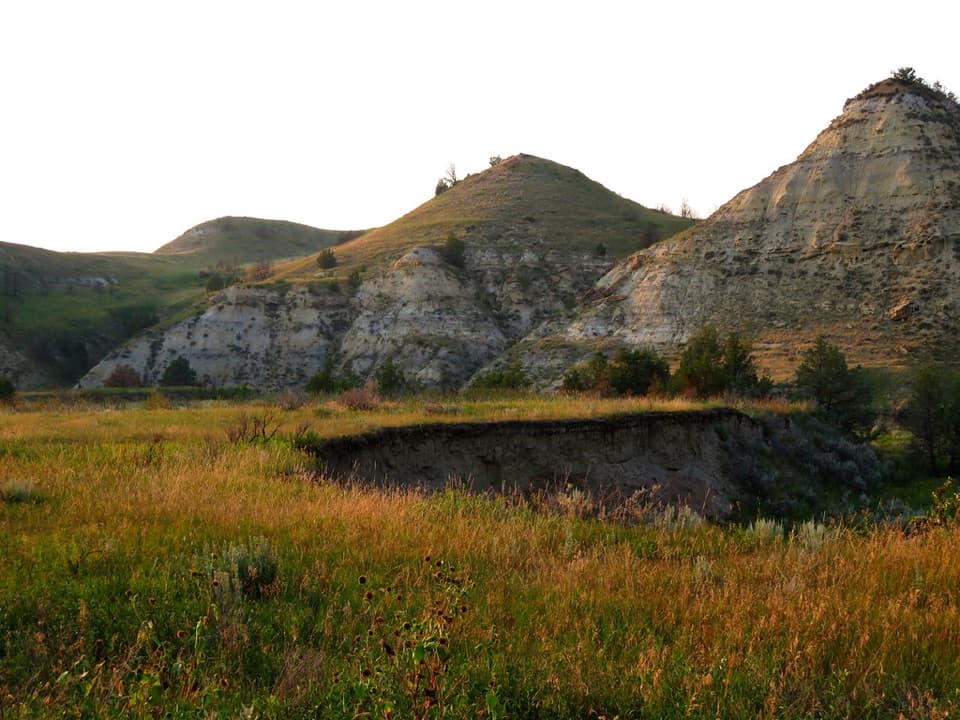 EasyBadlands Spur Trail1.7 mi · 54 min · 1.9 mi awayA short walk to the Lower Talkington junction and badlands views.
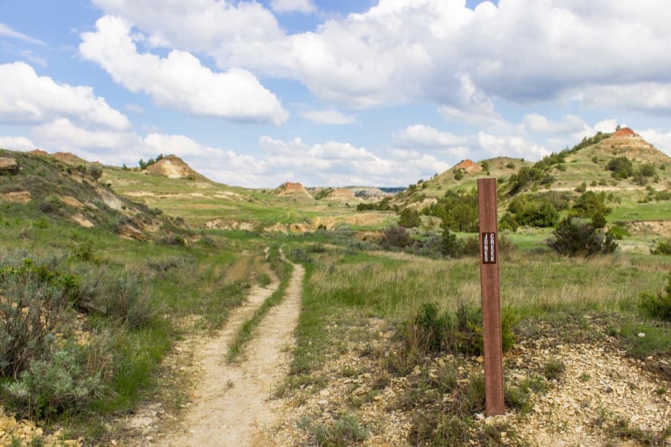 ModerateJones/Lower Talkington/Lower Paddock Loop11.4 mi · 7 hr · 2.3 mi awayThree creek-country trails make an 11.4-mile Badlands loop.
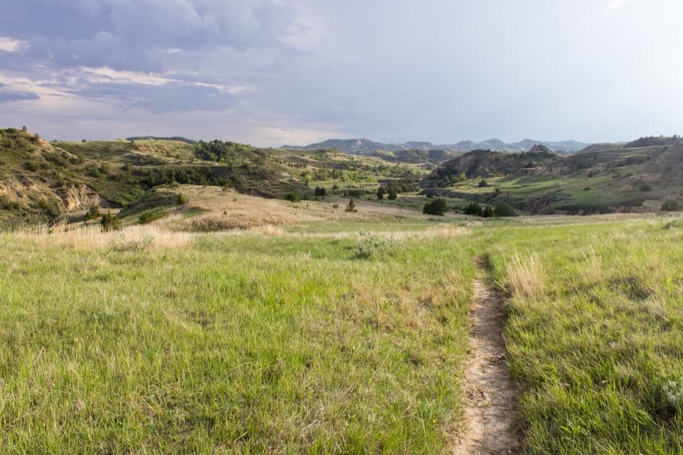 ChallengingUpper Paddock/Talkington Loop15.4 mi · 9 hr · 2.3 mi awayA 15.4-mile circuit over prairie, rim, and creek country.
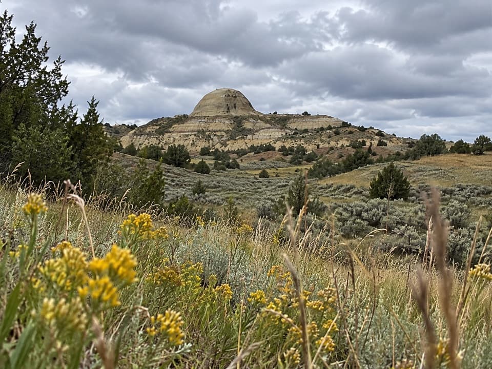 ModerateUpper Paddock Creek Trail7.7 mi · 4.5 hr · 2.5 mi awayCreek-side badlands give way to open prairie at the rim.Sight · 1 mi awayBuck HillA steep 15-minute climb opens to a full Badlands panorama.
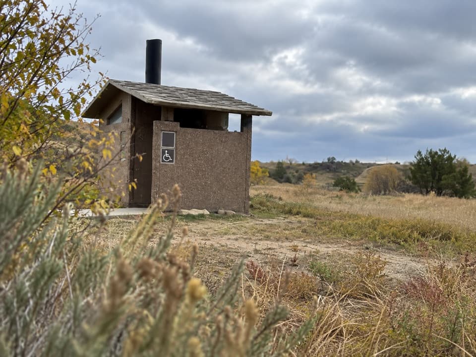 Restroom · 1.1 mi awaySouth Unit Scenic Drive RestroomAn accessible restroom midway around the South Unit loop.
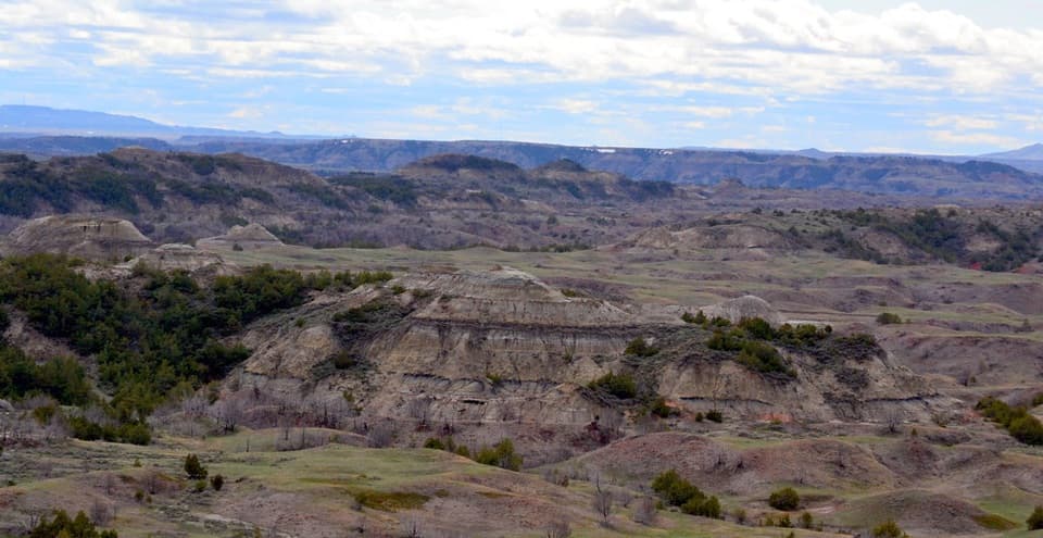 Sight · 2 mi awayBoicourt OverlookA short paved walk opens onto rolling badlands and distant buttes.
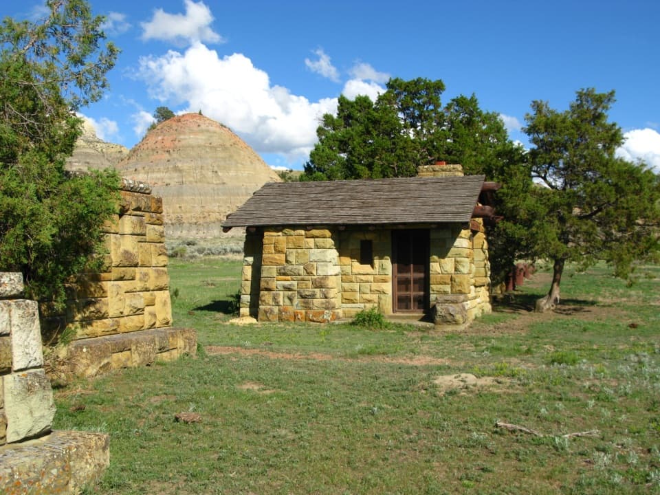 Sight · 2.9 mi awayOld East Entrance StationThe park's original stone gateway sits in an active prairie dog town.
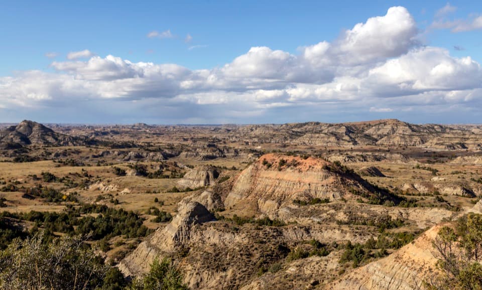 Sight · 3 mi awayPainted Canyon Overlook and Visitor CenterA rim-top badlands panorama, with bison sometimes grazing nearby.
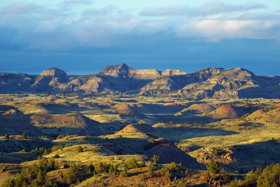 Sight · 3.6 mi awayBadlands OverlookLayered buttes make this the South Unit's panoramic finale.
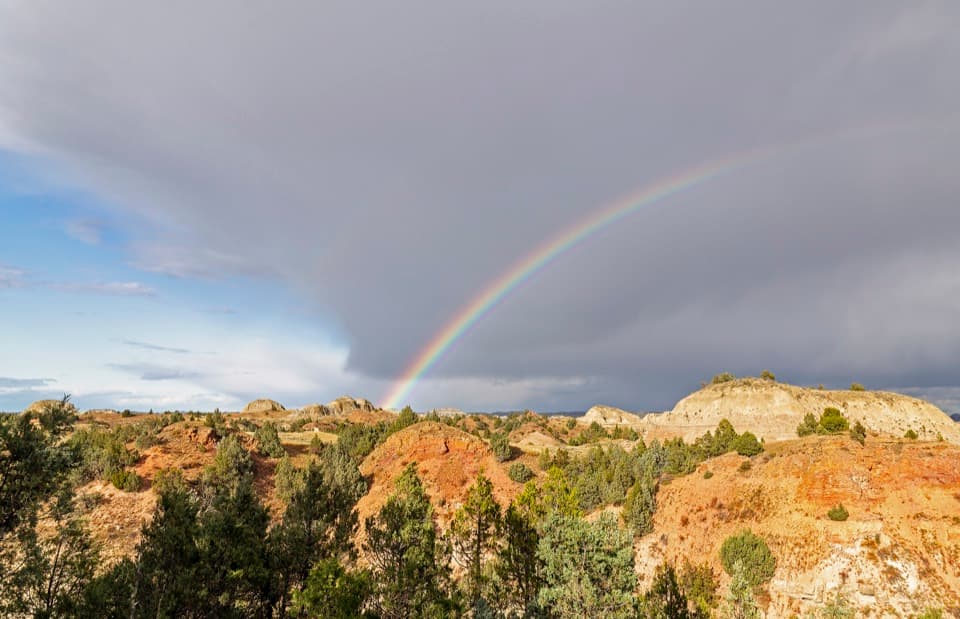 Sight · 5 mi awayScoria Point OverlookAn easy first look at the South Unit's red badlands.
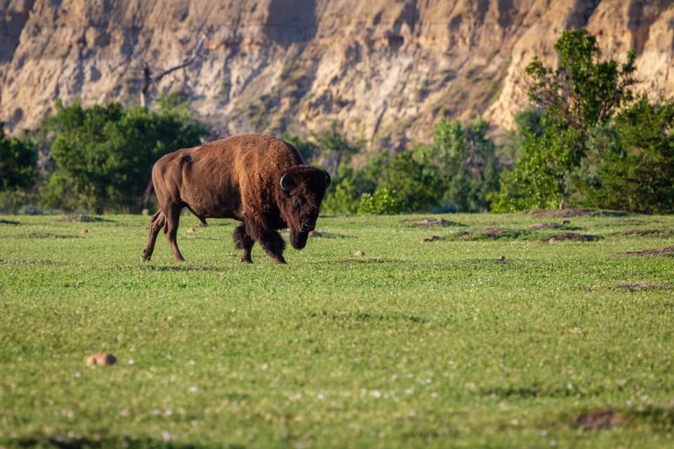 Sight · 5.9 mi awayBeef Corral BottomA prairie-dog town and river valley in one quick South Unit stop.
Parkwolf’s Theodore Roosevelt ranking

The audio tour guide for the drive, plus offline maps, trails, and wildlife heatmaps for when the signal drops.