Parking
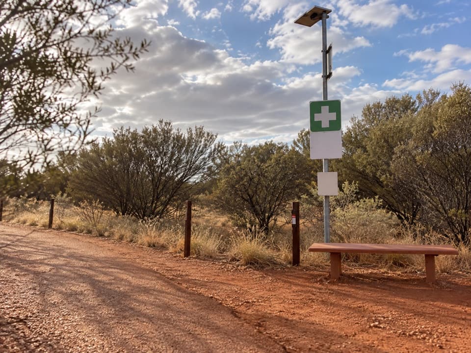
Start at Kuniya carpark, the dedicated access for the short return walk to Muṯitjulu Waterhole. Capacity and overflow details were not found.

#4 of 15 trails in Uluru-Kata Tjuta
Uluru-Kata Tjuta National Park, NT
A short walk to a shady waterhole beneath Uluṟu’s red walls.
Overview
Kuniya Walk & Muṯitjulu Waterhole is an easy 1 km out-and-back from Kuniya carpark to a waterhole at the foot of Uluṟu. Allow 30–45 minutes. It is a good choice if you want to get close to the rock without committing to the 10.6 km Uluṟu Base Walk. The route ends at the waterhole and returns the same way; the longer perimeter circuit and the 2 km each-way Lungkaṯa connection are different walks. Expect a compact, easy visit, not an all-day hike.
 Parkwolf’s verdictThe short route worth making time for
Map & elevation
Plan your hike

The highest, rockiest slopes around here are a summer buffet for grizzly bears.
Uluru-Kata Tjuta Tour Guide
Parkwolf is a GPS audio tour guide for Uluru-Kata Tjuta National Park. As you drive, it chimes in with what’s ahead: hidden gems, upcoming stops, history, geology, and wildlife, right through your car’s speakers.
See the Uluru-Kata Tjuta audio tourRecorded for this trailhead
Kuniya Walk: Muṯitjulu Waterhole“You're nearing Kuniya carpark, the start of the short walk to Muṯitjulu Waterhole. I'd stop here for a green, shaded pocket beneath Uluṟu's walls, with river red gums around one of the rock's few permanent water sources.”
Plays as you drive up to this trailhead in the Parkwolf Uluru-Kata Tjuta Tour Guide.
More stories near here in the app
“Fantastic app with many points of information… It’s great to just turn on while you’re driving and it gives you an audio tour of the national Park. We love it!!!!”


Trail guide
Follow the compacted path from Kuniya carpark toward the base. The track is mostly level, with short grid bridge sections, and runs between red rock and tall grasses toward the waterhole. Stay on the marked route around the rock. Its current trail grade is 2. An older visitor map lists Grade 1 and all-access; if wheelchair access matters, check current access details with park staff. There is no loop to navigate: reach the waterhole, pause, and retrace the same path.
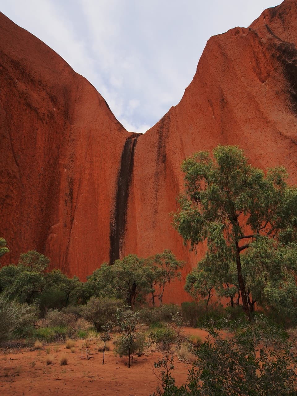
Muṯitjulu is one of the few permanent water sources around Uluṟu. That water makes a pocket of shade and greenery beneath the red rock: river red gums and tall grasses frame the pool, and a bench gives you somewhere to sit. Visitors often describe this as a flat, easy walk, with the waterhole and surrounding formations as the payoff. The flow changes; after rain, runoff can pour down the rock as seasonal waterfalls, but a waterfall is never guaranteed. The waterhole’s broad rock setting makes the strongest view. Around midday, sunlight reaches the pool directly; use only the places where photography is allowed, because some sensitive rock formations have no-photography rules.
This is a place of continuing cultural importance to Aṉangu Traditional Owners. The Tjukurpa connected to this landscape belongs here; learn it through Aṉangu-authorized interpretation rather than relying on a general retelling. Keep to the public path and follow signs around culturally sensitive sites. The walk rewards a slower visit, with time to notice how water, plants and rock come together at the base of Uluṟu.
The water and grasses make this a better place to watch for wildlife than the dry approach. Wallabies may be seen among the tall grasses and river red gums. In warmer months, watch for noisy finches and nankeen kestrels riding thermals; the park also lists black-breasted buzzards and tawny frogmouths as possible nesting birds. These are chances, not guaranteed sightings, so give the trees a minute before heading back. The contrast between this green pocket and the surrounding open rock is part of what makes the short walk feel distinct.
Kuniya carpark is the correct start. There are no toilets listed at the walk, and an Emergency Call Device is provided; drinking water and food service are not listed here, so bring water before you arrive. A park pass is required. In hot weather, choose the cool hours; the park advises morning walks and finishing before late-morning heat. Dogs are not permitted, though assistance dogs are allowed on a leash no longer than 3 m. It is a short walk, but the desert heat and lack of on-route services are good reasons to prepare at the carpark.
Wildlife
 32 sightingsDromedary CamelMost seen around 6 PMSighting map
 14 sightingsBlack-breasted KiteMost seen around 10 AMSighting map
 27 sightingsBrown FalconMost seen around 7 AMSighting map
 11 sightingsWestern Brown SnakeMost seen around 9 AMSighting map
 32 sightingsMain's FrogMost seen around 7 PMSighting map
 17 sightingsRed-backed KingfisherMost seen around 7 AMSighting map
Sighting maps show where each species has been reported across Uluru-Kata Tjuta. Wildlife moves, so no sighting is guaranteed.
Keep exploring
 EasyLiṟu Walk4 km · 1.5 hr · 1.7 km awayA sandy clearing opens to a sheltered view of Uluṟu.
 ModerateUluṟu Base Walk10.6 km · 3.5 hr · 1.8 km awayA full 10.6 km circuit for close and distant views of Uluṟu.
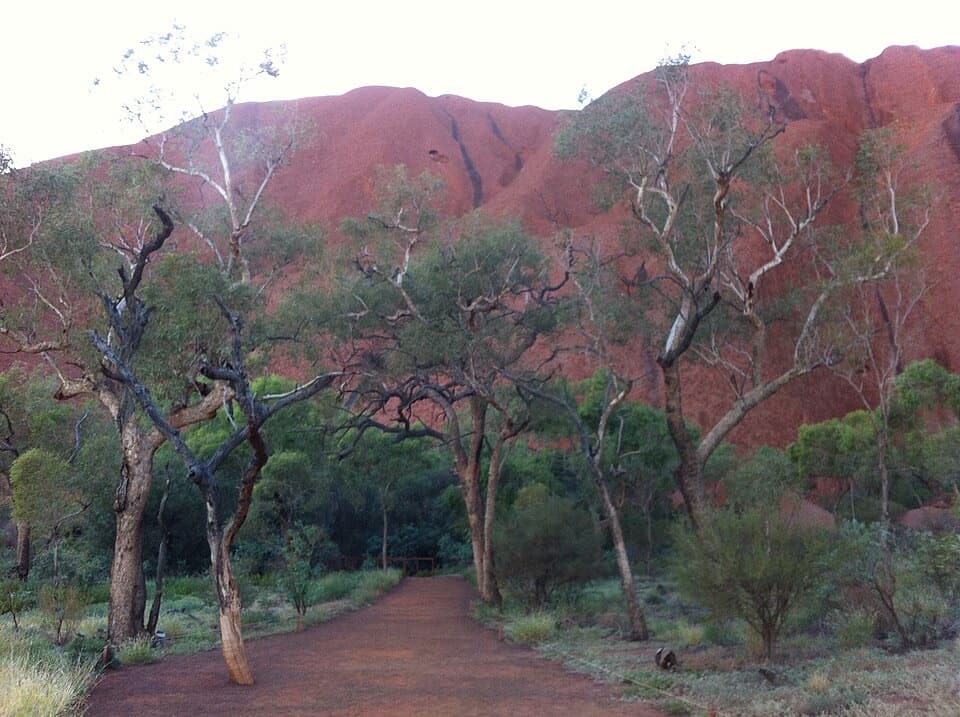 EasyMala Walk2 km · 1.5 hr · 1.8 km awayA short Uluṟu walk to caves, rock art and Kaṉtju Gorge.
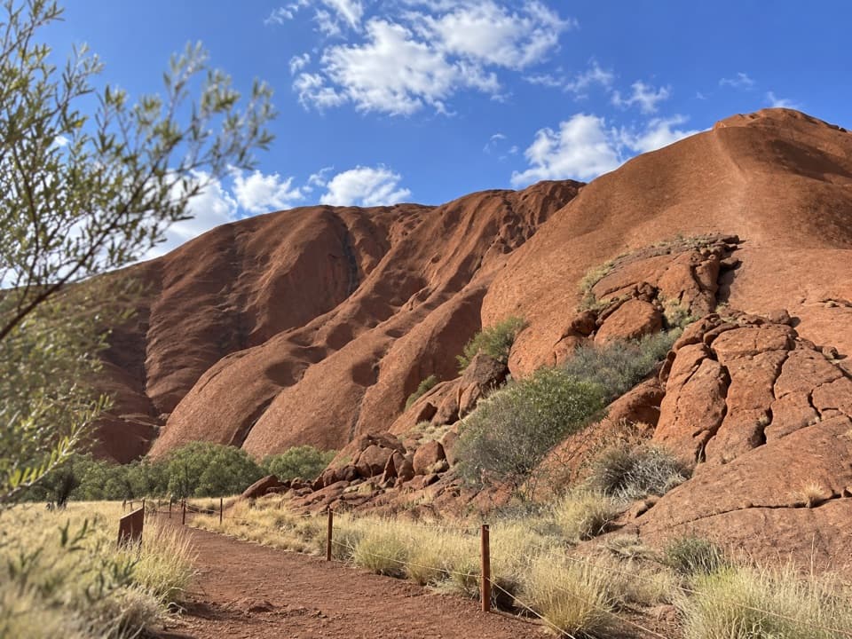 EasyPunu Walk0.6 km · 30 min · 1.9 km awayA quick plant walk with Uluṟu in view.
 ModerateLungkaṯa Walk4 km · 1.5 hr · 1.9 km awayA close 4 km return walk beneath Uluṟu’s weathered caves
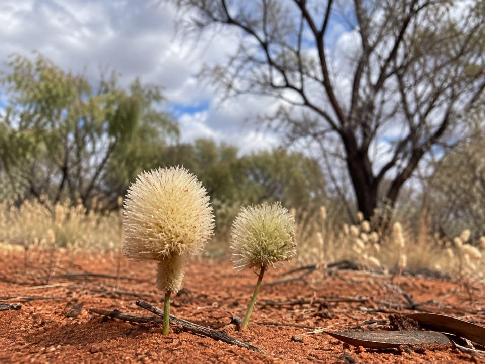 ModerateNorth-east Face Walk4.4 km · 1.8 hr · 1.9 km awayA 4.4 km one-way walk from Kitchen Cave to Kuniya Piti.
 EasyMinymaku Walk1 km · 36 min · 3.3 km awayA short, accessible loop into Aṉangu women’s work and bush foods.
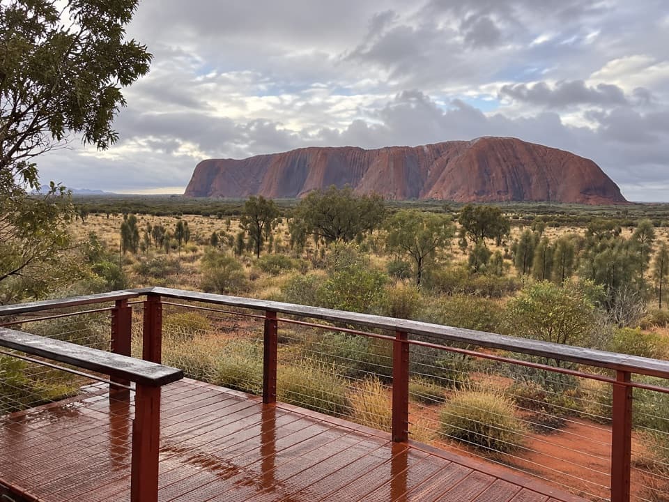 EasyWatiku Walk – Men’s Walk1.5 km · 45 min · 3.3 km awayTwo viewing platforms and Aṉangu men’s knowledge on an easy loop.
 Sight · 0.3 km awayKuḻpi MuṯitjuluAn Anangu family cave where rock art carries generations of knowledge.
 Sight · 0.5 km awayMuṯitjulu WaterholeAfter rain, a waterfall spills into this shaded pool.
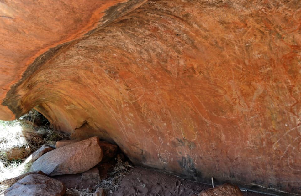 Sight · 1.6 km awayKuḻpi Nyiinkaku (Teaching Cave)A Mala Walk teaching cave shaped by generations of Aṉangu learning.
 Food · 1.7 km awayIninti Café & SouvenirsCoffee and pies, with a view of Uluṟu from the upstairs lounge.
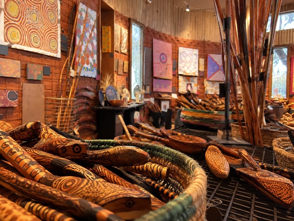 Sight · 1.7 km awayMaṟuku Arts GalleryBrowse art from twenty-plus desert communities.
 Visitor center · 1.7 km awayUluṟu-Kata Tjuṯa Cultural CentreStart with two hours of Aṉangu stories, art and park context.
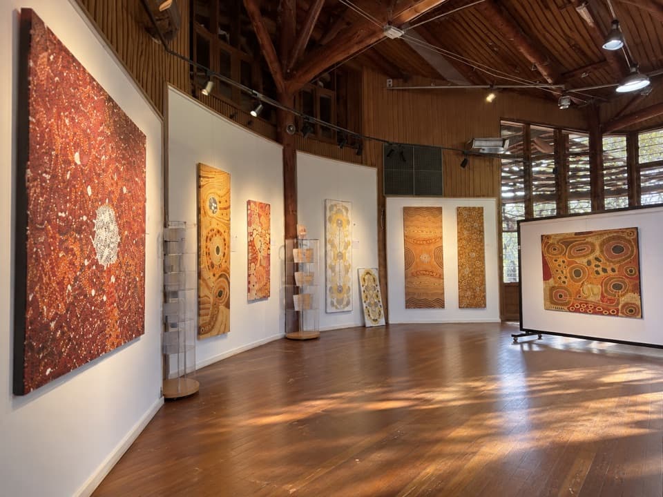 Sight · 1.7 km awayWalkatjara ArtA working Aṉangu gallery with stories behind the art
 Sight · 1.7 km awayKaṉtju GorgeA waterhole framed by Uluṟu’s sheer gorge walls.
Parkwolf’s Uluru-Kata Tjuta ranking
The audio tour guide for the drive, plus offline maps, trails, and wildlife heatmaps for when the signal drops.