Moderate

Uluru Base Walk

6.6 mile flat loop around Uluru with rock art, gorge and waterhole.
Uluru Base Walk, Uluru-Kata Tjuta National Park
Distance6.6 mi
Typical time3.5 hr
DifficultyModerate
PetsNot allowed

Overview

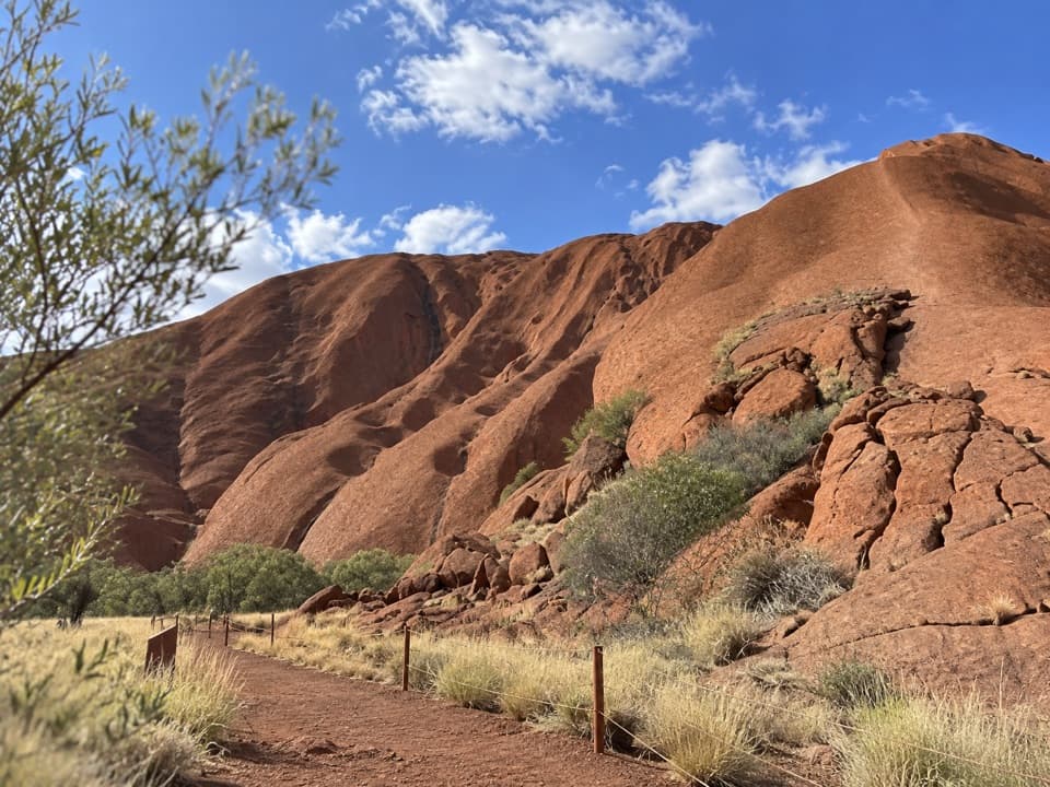
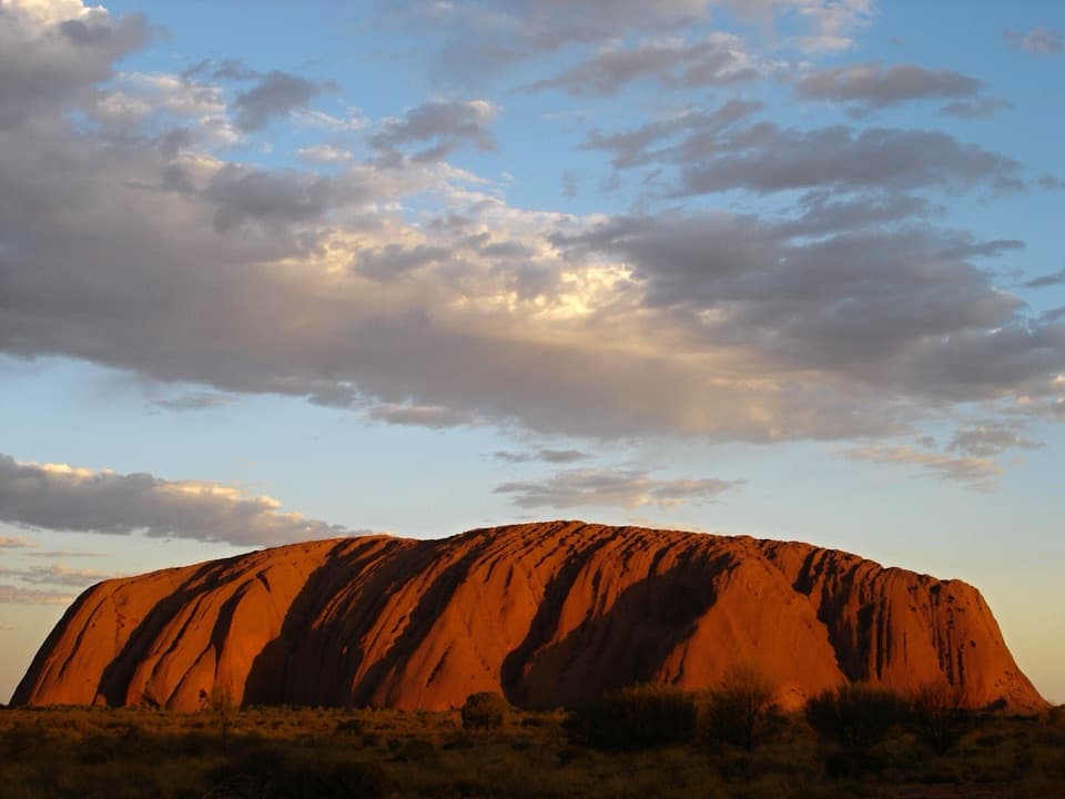
The Uluru Base Walk is a full loop around the monolith—about 10.6 km (6.6 miles) total on a mostly flat, wide track. Plan on 3–4 hours depending on pace, heat, and photo stops. It’s the most immersive way to feel Uluru’s scale and texture—less a summit objective, more a slow, close-up circuit.

Route Highlights

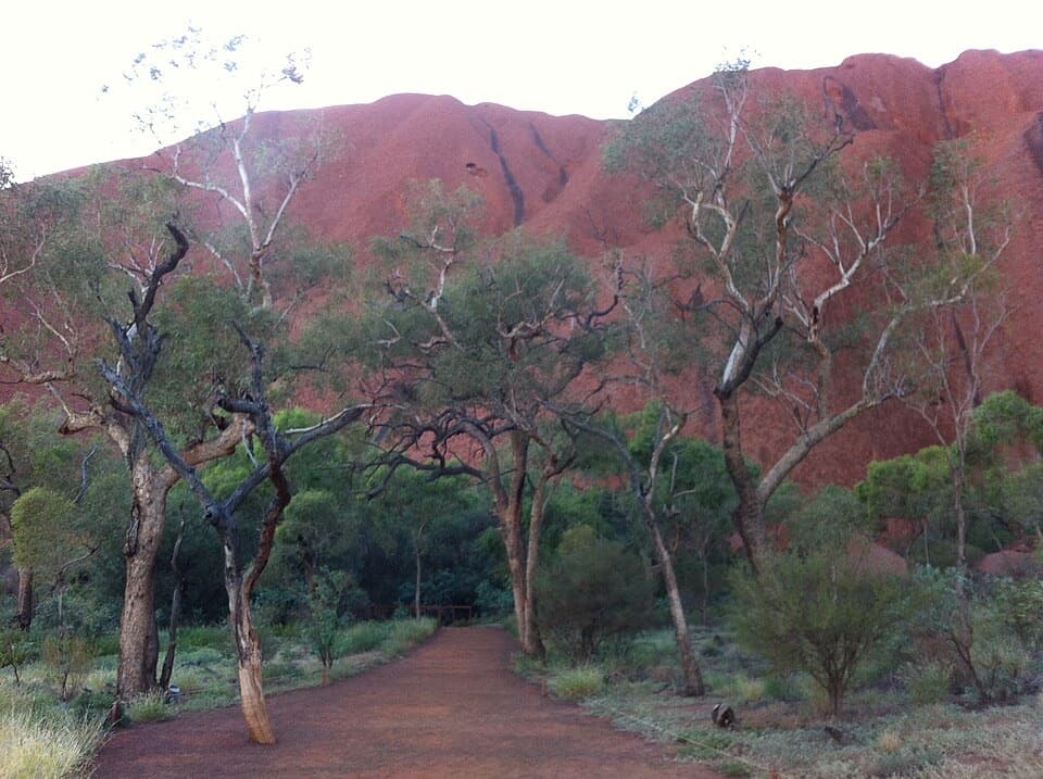
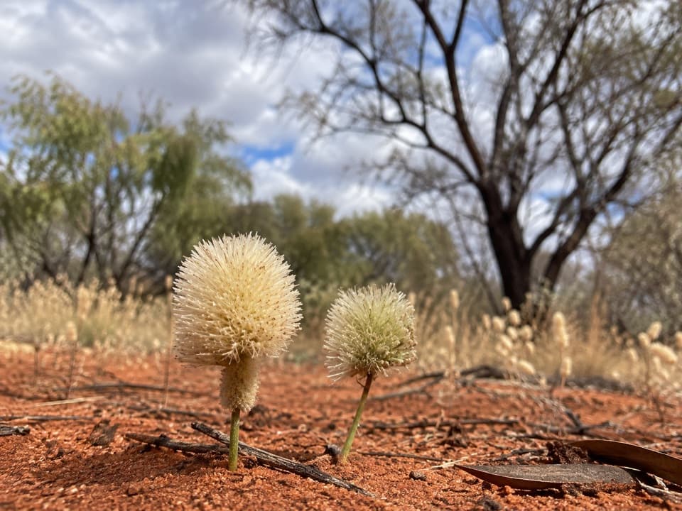
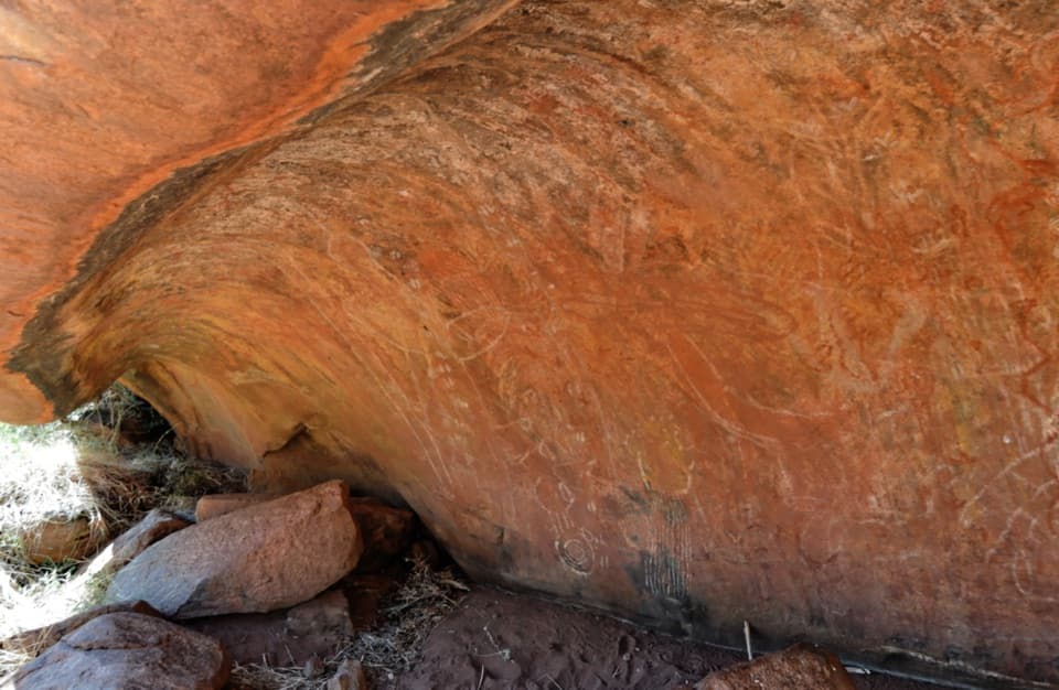
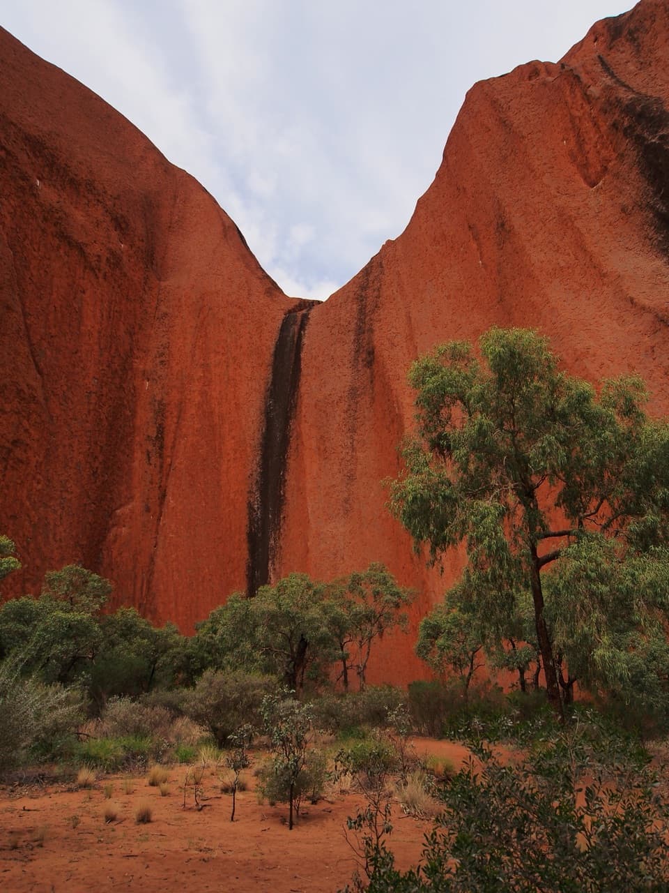
Start at Mala carpark and walk clockwise while it’s cool. The Mala section to Kantju Gorge packs early rewards: caves, rock art, and towering red walls, with some shade in the gorge. The north‑east face includes culturally sensitive zones where photography is prohibited and the path sits farther from the rock—scenery is broader and can feel repetitive. Near Kuniya Piti and Mutitjulu Waterhole you’ll find rock art, a permanent waterhole, and nearby toilets and drinking water. Expect shifting pockets of acacia woodland, claypans, bloodwoods, and native grasses along the way.

Difficulty and Surface

The track is well‑graded dirt and gravel with a few short, slightly steeper bits near boardwalks and south of parking. Overall elevation change is minimal; the challenge is distance and exposure. Some sections are wheelchair and stroller friendly in dry weather.

Best Time to Hike

Start at first light year‑round; in hot weather the park advises finishing walks before 11:00 am. Cooler months (May–September) are most comfortable. Sunrise brings dramatic color changes; late‑day light is lovely too, but don’t push start times—park areas close after sunset.

Safety and Respect

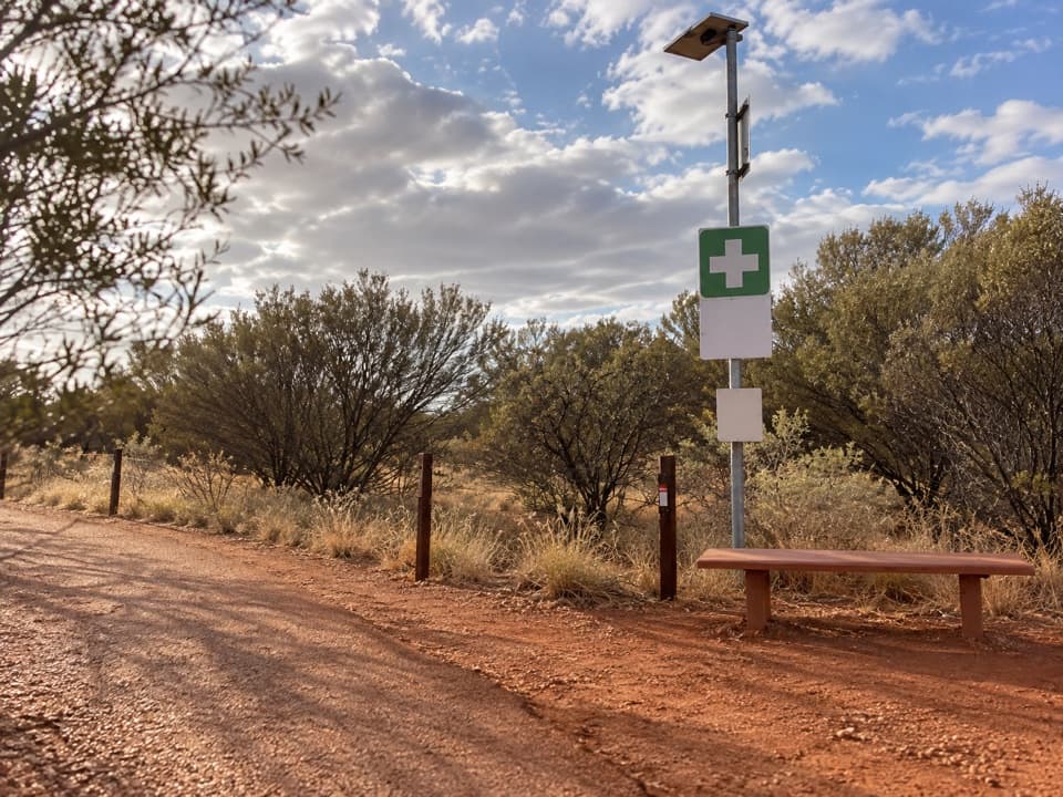
Carry and drink roughly 1 liter of water per person per hour—3–4 liters for the full loop—and consider electrolytes. There’s only one water refill point on the route, so top up at carparks and near Mutitjulu. Wear serious sun protection, obey all signage, and stay on marked tracks. Several areas are culturally sensitive with no‑photo rules. You may encounter snakes and dingoes—give wildlife space. Ranger‑guided Mala walks add valuable cultural context. Drones are not permitted, and a park pass is required for entry. Emergency call devices are located on the northern side of the loop and near Kuniya Piti.

Should You Do It?

If you want the most intimate sense of Uluru’s form, story, and subtle ecosystems, this is the one. Be ready for long, exposed stretches and less variety on the north‑east side; if it’s too hot or you’re short on time, pair the Mala walk to Kantju Gorge with the Mutitjulu Waterhole section for a shorter, high‑value taste.

Pros

  • Ranger‑guided Mala section adds rich cultural context to what you’re seeing.
  • Close‑up access to Kantju Gorge and Mutitjulu Waterhole in one loop.

Cons

  • Long, exposed stretches with little shade and only one on‑route refill point.
  • Culturally sensitive no‑photo zones limit photography on the north‑east face.

Parking

Park at Mala carpark for the classic clockwise loop; Kuniya carpark is a good alternative if you want to start near Mutitjulu Waterhole.

Caution

Heat and exposure are the main hazards—carry 1 liter per person per hour, aim to finish before 11:00 am in hot weather, and note there’s only one refill point. Obey no‑photo signs in culturally sensitive areas. Snakes and dingoes are present; keep your distance and stay on marked tracks. Consider not hiking alone.

The Parkwolf tour guide sitting on a phone mounted in a car

Parkwolf Tour Guide

Like a tour guide in your car.

Bring Uluru-Kata Tjuta trail research into the car, with offline maps and stories that play as you drive.Download Parkwolf on the App Store