
All Valley of Fire places
28 places
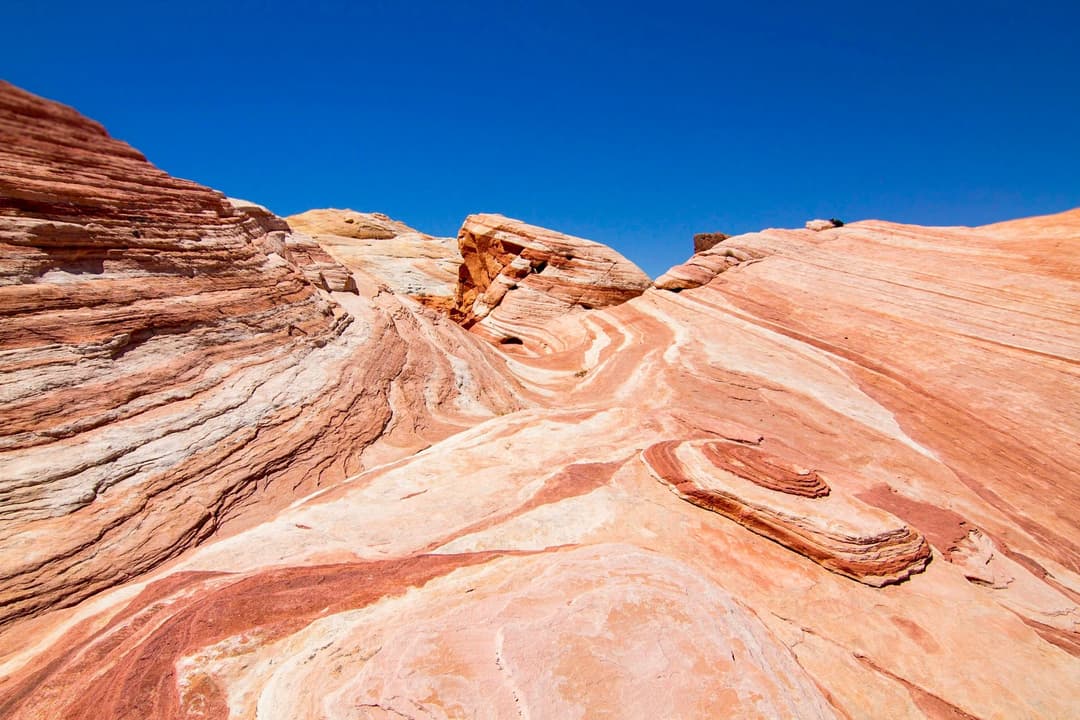
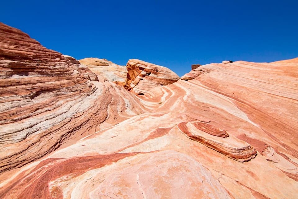 1Fire WaveCurving stripes ripple across the sandstone like a low desert wave.
 2Elephant RockA quick walk to an elephant-shaped sandstone arch.
 3Atlatl RockClimb above the road for petroglyphs framed by red sandstone.
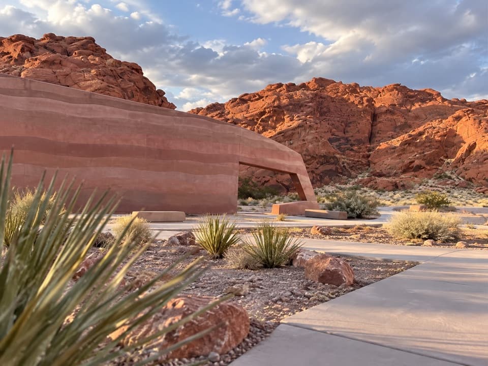 Valley of Fire Visitor CenterStart with the sandstone story before exploring the red-rock country.
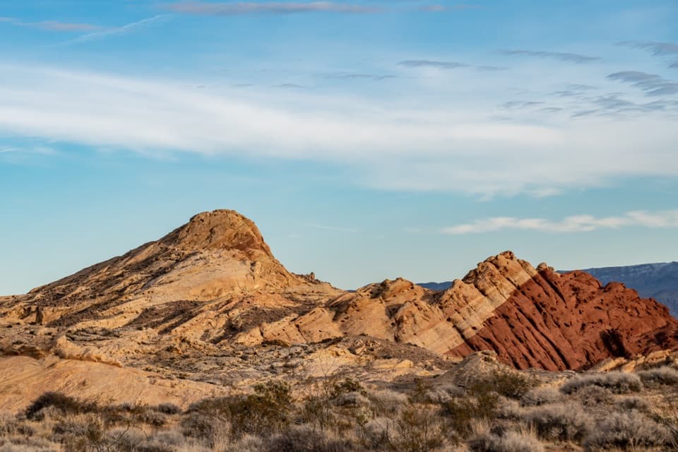 4Fire Canyon / Silica Dome OverlookA roadside stop for the pale dome and fiery canyon bands.
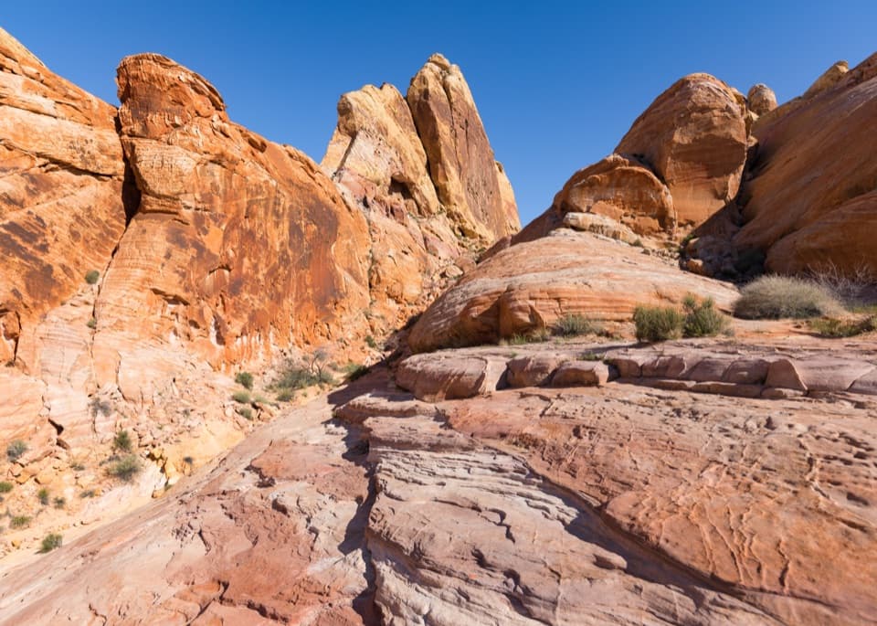 5White DomesShort loop, pale domes, a slot canyon and a film-set wall.
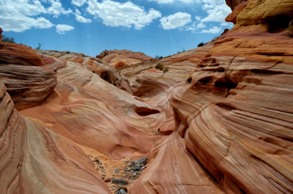 6Pastel CanyonA short, shallow canyon of pastel bands on the Seven Wonders route.
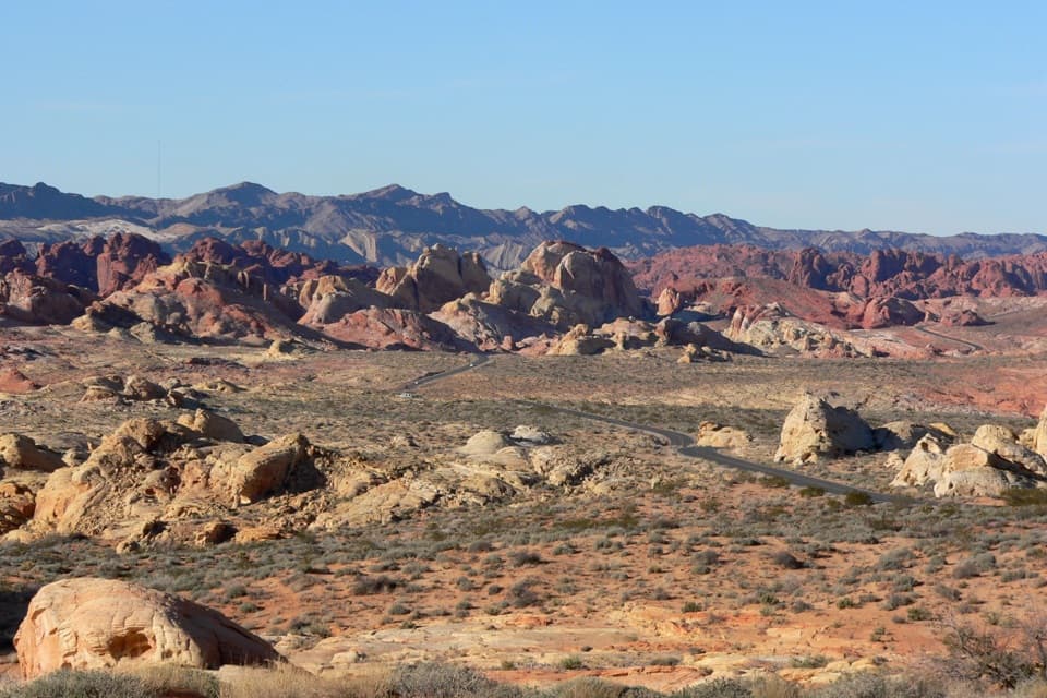 7Rainbow VistaA ridge-top panorama over miles of multicolored sandstone.
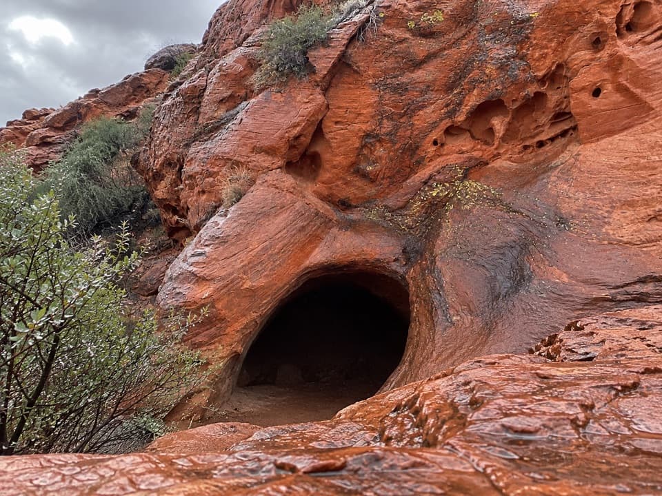 8Mouse's TankA short canyon walk where petroglyphs lead to a rain-fed basin.
 Seven SistersA shaded roadside picnic area beneath seven red sandstone towers.
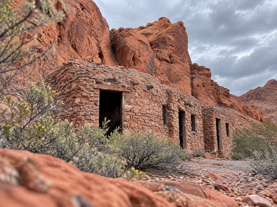 9Historic CabinsCCC sandstone cabins make a shaded picnic stop.
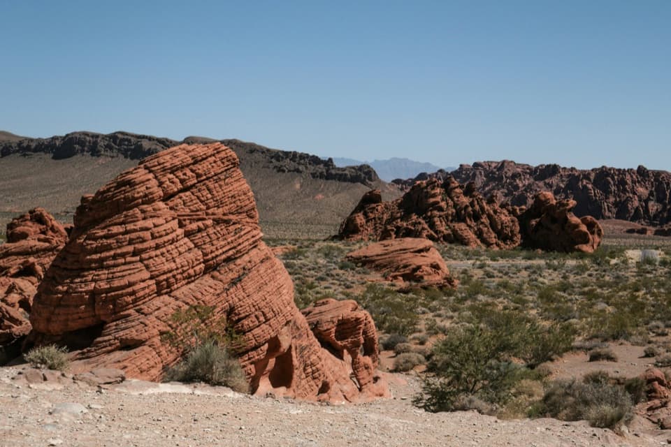 10BeehivesA quick walk among red domes striped with ancient dune layers.
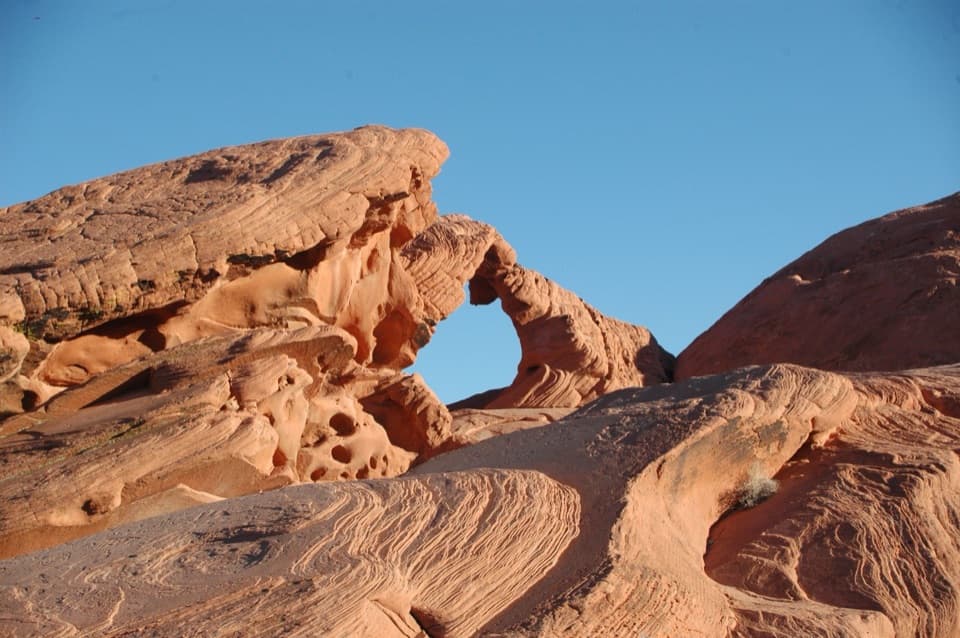 11Arch RockA quick Scenic Loop stop for a red sandstone arch.
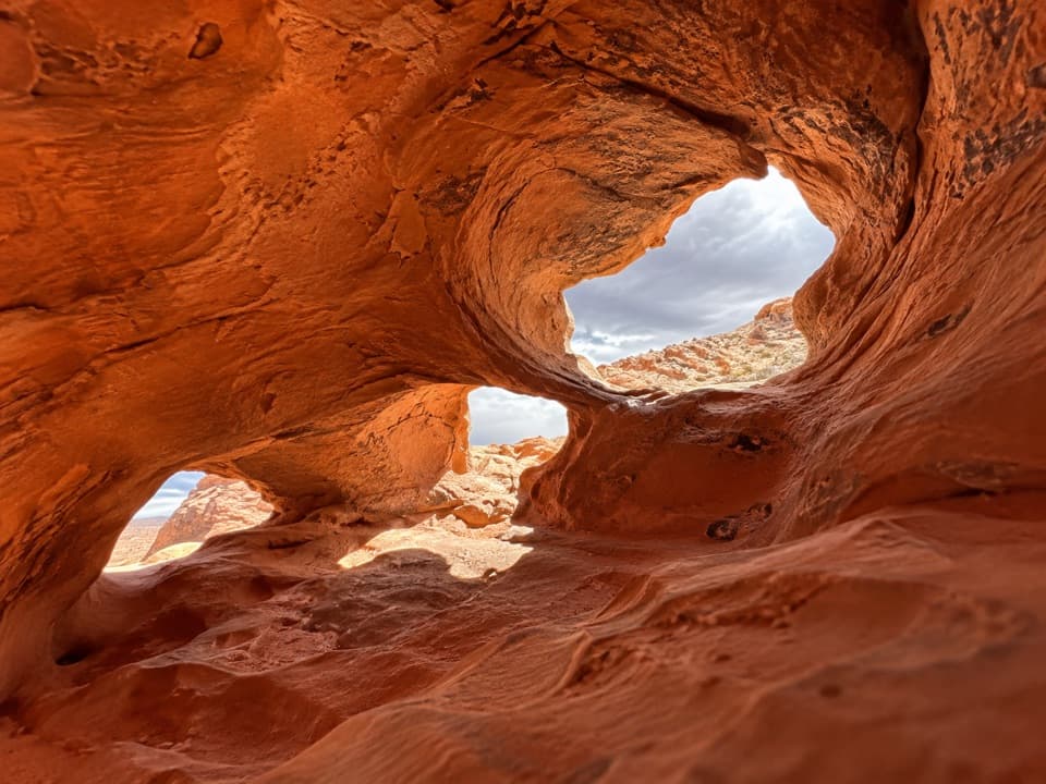 12Fire Cave (Windstone Arch)The arch fell; the honeycomb sandstone is still worth a short look.
 13Balancing RockAn odd little sandstone perch on a very short walk.
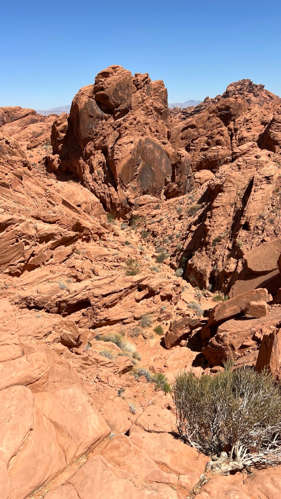 14Fire Canyon OverlookA short, sandy hike ends above a rugged red-rock canyon.
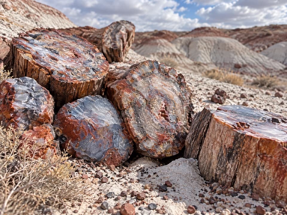 15Petrified LogsThe best-exposed trunks come farther along the short loop.
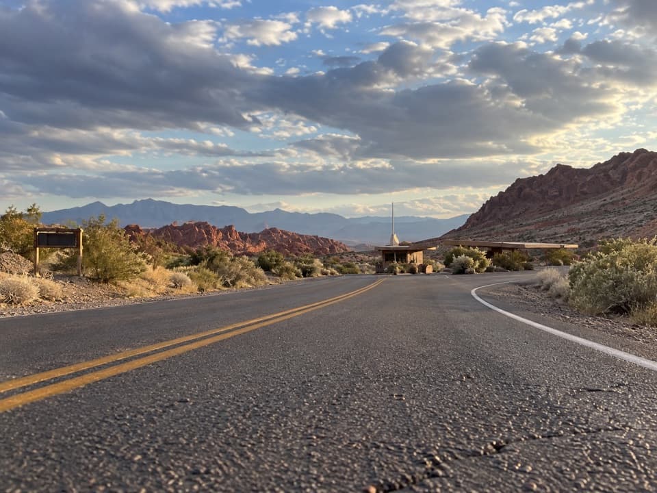 West EntrancePay admission here, with parking and a restroom before the park drive.
 East EntranceThe east-side gate, with Elephant Rock just beyond
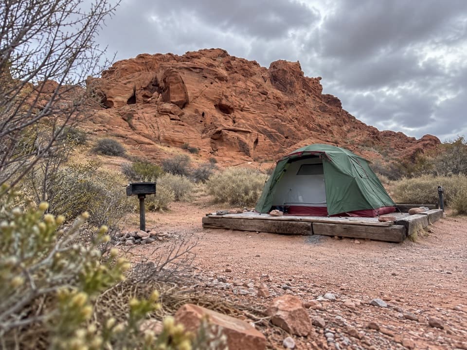 Atlatl Rock CampgroundSleep among red sandstone and start the park day here.
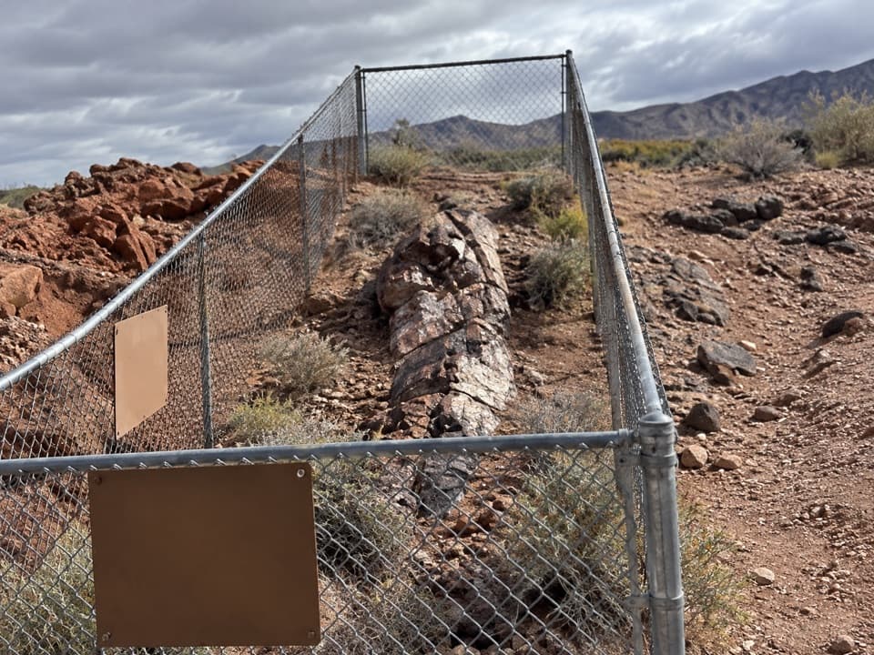 16East Petrified LogA quick stop for wood turned to stone 225 million years ago.
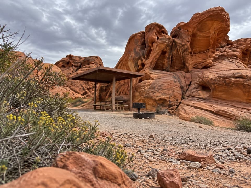 Arch Rock CampgroundSleep beneath the sandstone with tables, grills, and water on site.
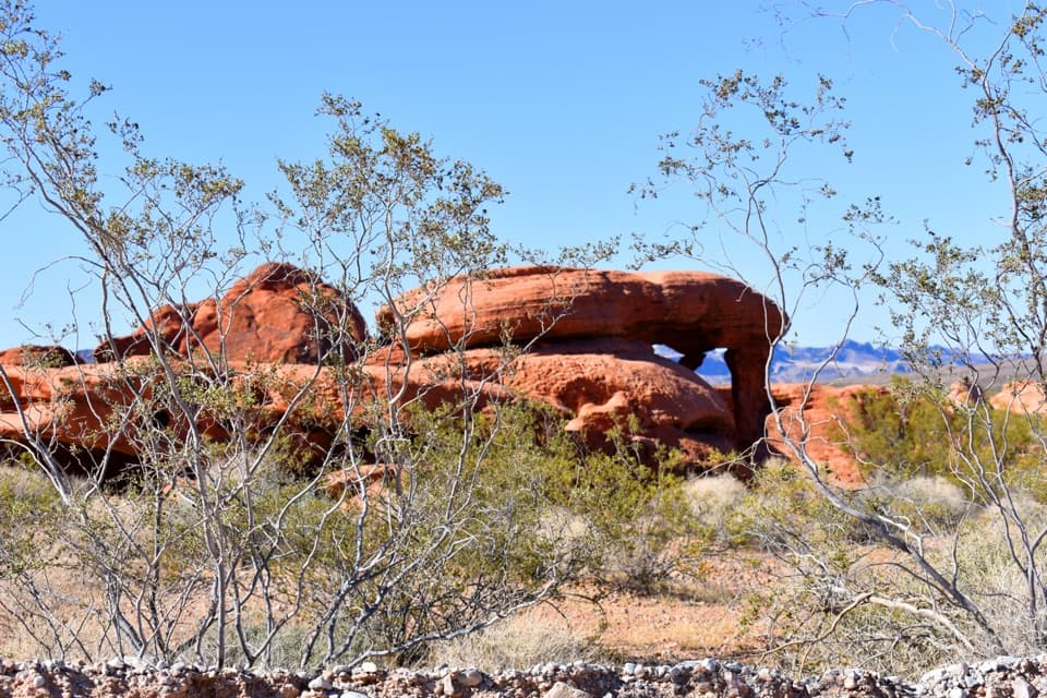 17Piano RockAn unsigned sandstone landmark beside Valley of Fire’s Scenic Loop.
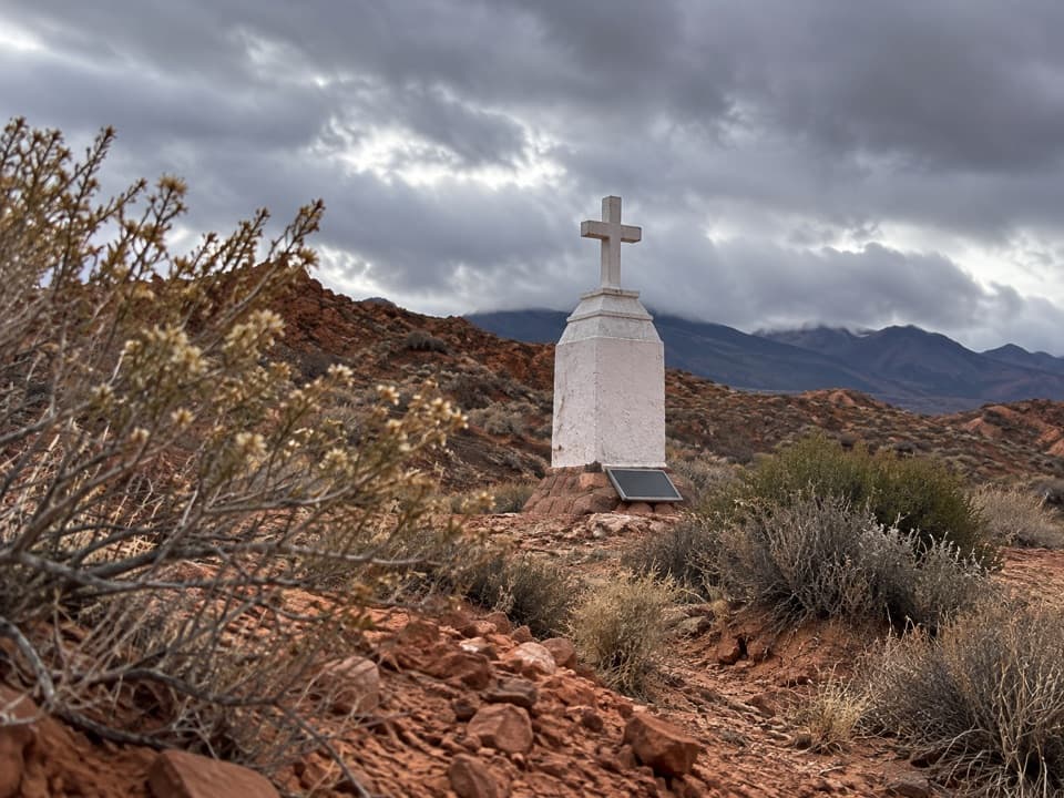 18Clark MemorialA roadside cross marks a sobering story from 1915.
 Mouse’s Tank Picnic AreaA shaded lunch stop with petroglyphs just behind it.
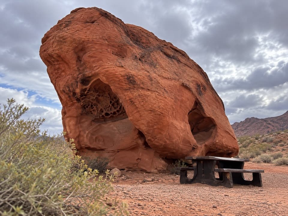 Lone Rock Picnic AreaA big solitary boulder, with petroglyphs tucked across the lot.
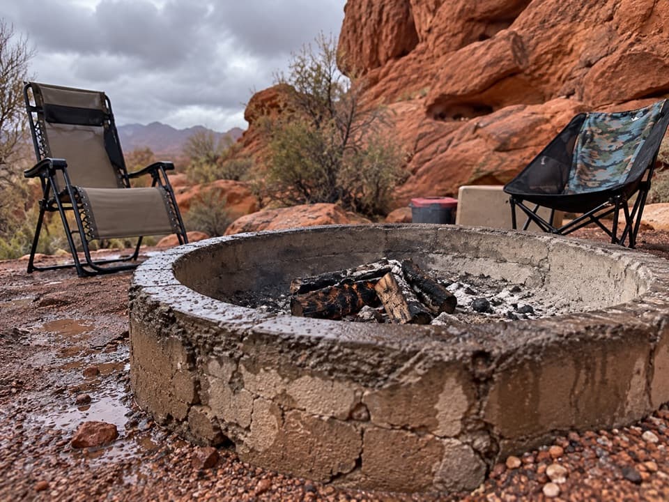 Group Camping AreaThree reservable sites each hold up to 45 people.
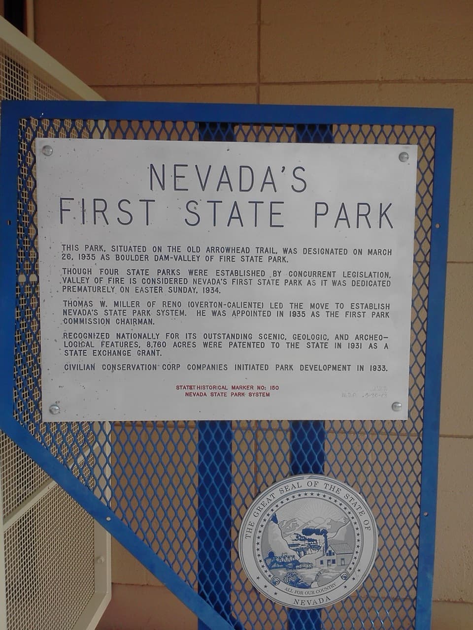 Nevada’s First State Park Historical MarkerA quick marker stop for the park’s early history and Arrowhead Trail.
The highest, rockiest slopes around here are a summer buffet for grizzly bears.
Valley of Fire Tour Guide
Valley of Fire, narrated.
Parkwolf is a GPS audio tour guide for Valley of Fire State Park. As you drive, it chimes in with what’s ahead: hidden gems, upcoming stops, history, geology, and wildlife, right through your car’s speakers.
Recorded for this place
Fire Wave: Walk to the Stripes0:00 / 0:26
“You're approaching the Fire Wave parking area, the start of the walk to its pink-and-cream striped sandstone. Allow an hour or two for the one point four-mile round trip over loose sand and uneven rock.”
Plays as you drive up to Fire Wave in the Parkwolf Valley of Fire Tour Guide.
More stories near here in the app
- The Lizard That Wedges Itself In
- White Domes: A Slot Canyon and a Film Set
- Rust in the Sandstone
- The Smell of Desert Rain
- 34 audio storiesacross Valley of Fire’s roads, triggered by GPS as you drive
- Wildlife heatmapsfor Bighorn Sheep, Mojave Desert Tortoise, Sidewinder, and 13 more
- Works offlinemaps, 23 trails, 28 places, and audio download before you lose signal
- CarPlay readysimple controls built for the drive
“Fantastic app with many points of information… It’s great to just turn on while you’re driving and it gives you an audio tour of the national Park. We love it!!!!”

