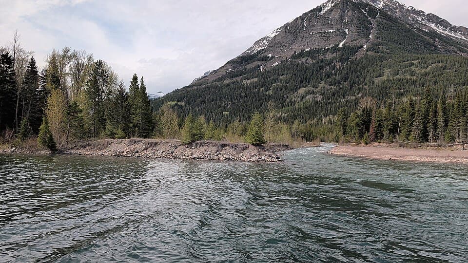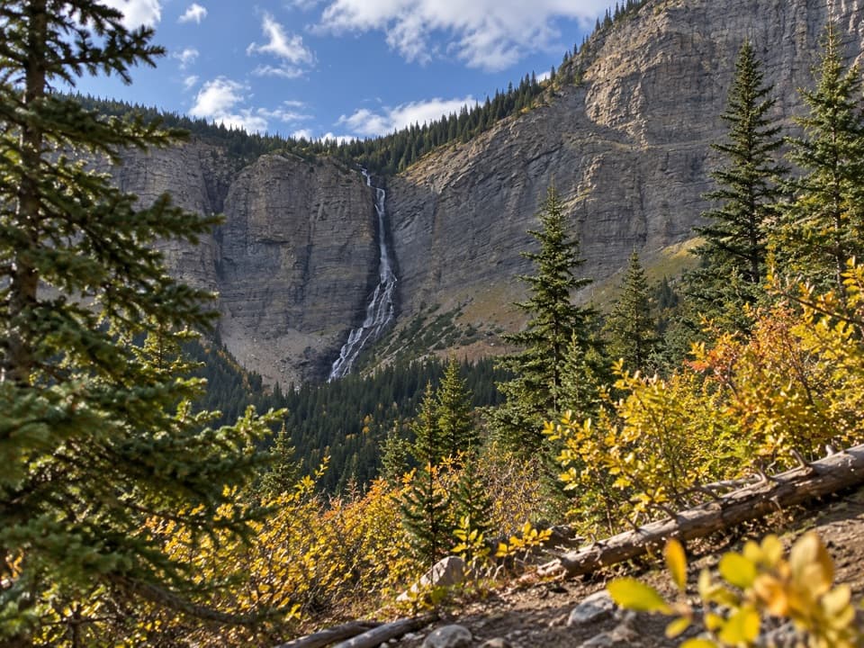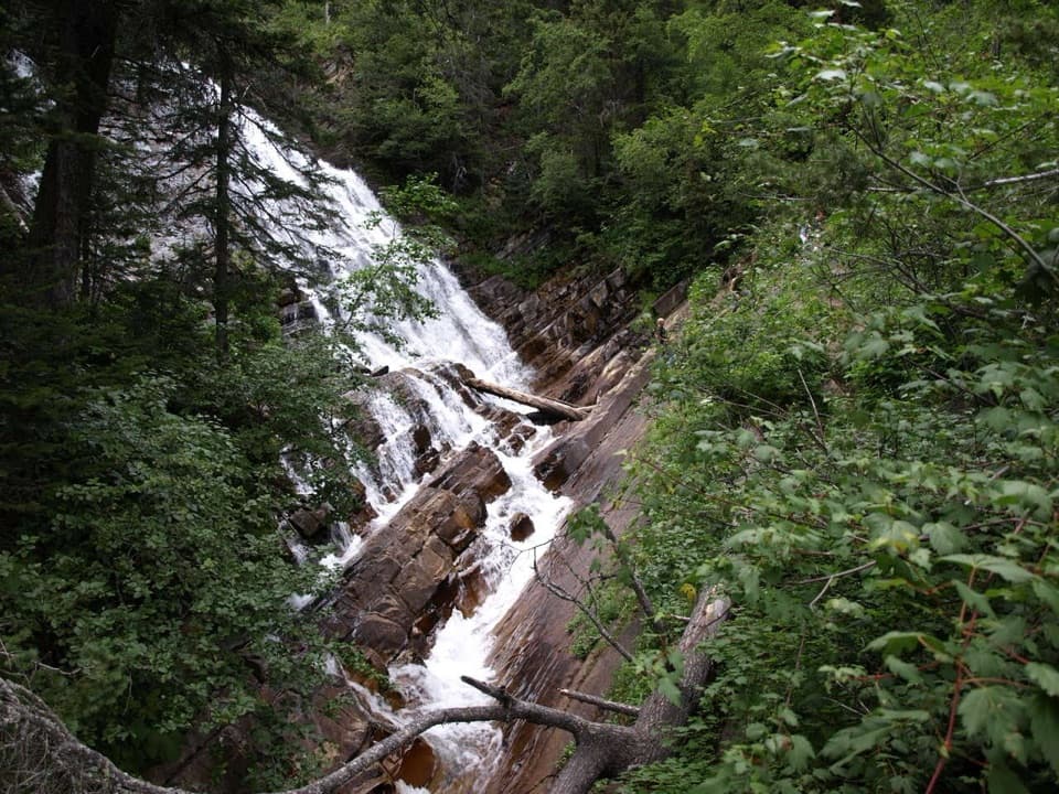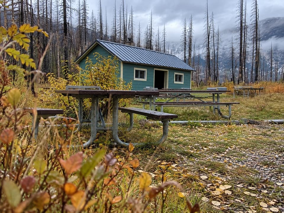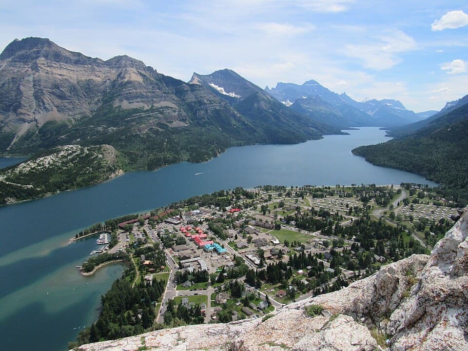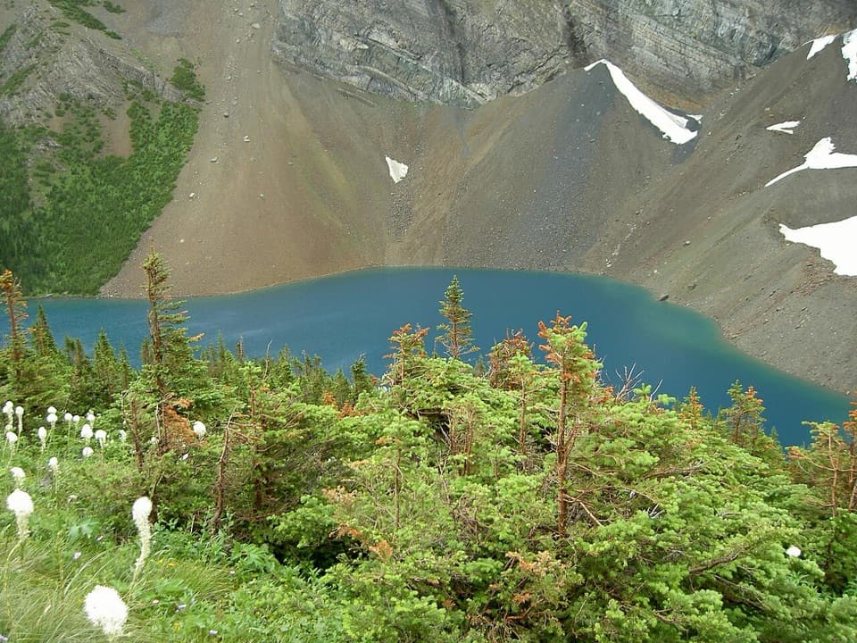
Alderson Lake in Waterton Lakes National Park

Sight · Waterton Lakes National Park

Alderson Lake

Blue water, high cliffs, and an all-day hike to get there.

Photo: Wikimedia Commons
Type
Sight
Nearest trail
4.1 km
  • Campground
  • Restrooms
  • Picnic tables

Hear the audio tour

Cameron Falls

Overview

About Alderson Lake

Why stop

  • Blue water beneath Mount Alderson’s steep cliffs

Heads up

  • A long, strenuous hike is required; there is no road access

Map

Where it is

Loading the Waterton Lakes map
Full map
SightAlderson Lake49.02973, -113.97496
Keep this map with you offline in the Parkwolf app

Plan your stop

Before you go

7 active Waterton Lakes alerts

  • ClosureBelly River Campground closedBelly River Campground is closed to all traffic and travel because a carcass is in the area. - Violators may be charged under the Canada National Parks Act, with a maximum penalty of $25,000.Official details
  • ClosureBlakiston Fan closed to protect rutting elkThe Blakiston Fan area is closed to traffic and travel to prevent disturbance of elk rutting there.Official details

See all 7 alerts
A park ranger sits on a dash-mounted phone, talking, as Parkwolf’s Tour Guide plays “Army Cutworm Moths: A Grizzly Bear Buffet” on Grand Loop Road below Dunraven Pass in Yellowstone
Parkwolf Tour GuideThe highest, rockiest slopes around here are a summer buffet for grizzly bears.

Waterton Lakes Tour Guide

Your drive to Alderson Lake, narrated.

Parkwolf is a GPS audio tour guide for Waterton Lakes National Park. As you drive, it chimes in with what’s ahead: hidden gems, upcoming stops, history, geology, and wildlife, right through your car’s speakers.

See the Waterton Lakes audio tour

Recorded for this place

Cameron Falls
0:00 / 0:31
“Up ahead is Cameron Falls, an easy waterfall stop on the edge of the village. The footbridge is just steps from parking and gives you a close view into the rocky gorge.”

Plays as you drive up to Alderson Lake in the Parkwolf Waterton Lakes Tour Guide.

More stories near here in the app

  • Rowe Lakes Trailhead
  • Lineham Falls Trailhead
  • Little Prairie Day Use Area
  • Life in a Burned Forest
  • 51 audio storiesacross Waterton Lakes’s roads, triggered by GPS as you drive
  • Wildlife heatmapsfor Bison, Black Bear, Elk, and 13 more
  • Works offlinemaps, 47 trails, 70 places, and audio download before you lose signal
  • CarPlay readysimple controls built for the drive
★★★★★
“Fantastic app with many points of information… It’s great to just turn on while you’re driving and it gives you an audio tour of the national Park. We love it!!!!”
JMJamesApp Store review
Download Parkwolf on the App StoreGet Parkwolf on Google Play

4.7 from 8,600+ ratings

Guide

More about Alderson Lake

A hike to the shoreAlderson Lake is a deep alpine lake and designated backcountry campground beneath Mount…

Alderson Lake is a deep alpine lake and designated backcountry campground beneath Mount Alderson’s high cliffs. It’s reached on foot, so save it for a day set aside for hiking rather than a casual scenic stop. A lake-only return from Cameron Falls in the townsite is about 14 km with 580 m of climbing, and takes around five to six hours. The full Carthew–Alderson traverse is a separate 19.2 km one-way hike, taking about eight hours and passing the lake between Cameron Lake and Cameron Falls. Plan how you’ll get between trailheads if you choose the through-route.

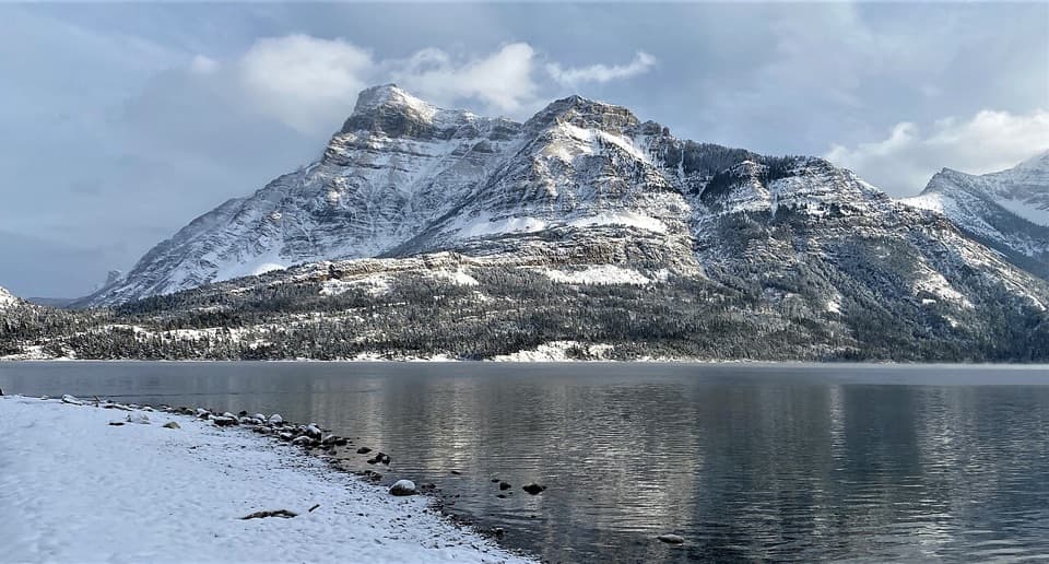
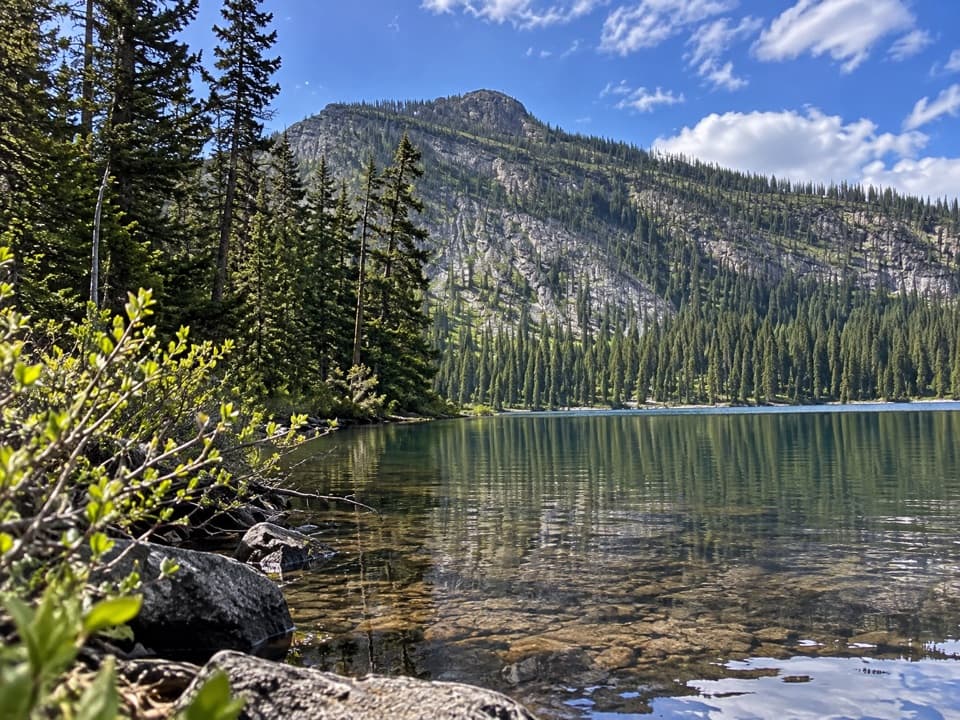
At the lakeThe aquamarine water sits below Mount Alderson’s steep cliffs and rocky slopes.

The aquamarine water sits below Mount Alderson’s steep cliffs and rocky slopes. The shoreline is rocky, so treat this as a mountain-lake stop, not an easy place to wander down from the road. For a photo, stand back from the shore and keep some water in the foreground with the cirque behind it; that shows the lake and its setting together.

If you stay overnightAlderson is one of Waterton’s designated backcountry campgrounds.

Alderson is one of Waterton’s designated backcountry campgrounds. Overnight stays require a backcountry-use permit and reservation. Parks Canada’s backcountry campgrounds have tent pads, outhouses, food-storage bins and picnic tables. Water sources are available, but the water needs to be treated or boiled. Cooking requires a gas stove, and Alderson isn’t among the campgrounds where fires are allowed.

A name with a little depthAt 60 m deep, Alderson is the deepest of Waterton’s high-country lakes.

At 60 m deep, Alderson is the deepest of Waterton’s high-country lakes. The lake, Mount Alderson and Alderson Creek honor British Lieutenant General Edwin H. A. Alderson, the first commander of the Canadian Expeditionary Forces in the First World War. He led the 1st Canadian Division into its first battles in France in 1915.

Wildlife

Wildlife in Waterton Lakes

All Waterton Lakes wildlife maps

Sighting maps show where each species has been reported across Waterton Lakes. Wildlife moves, so no sighting is guaranteed.

Keep exploring

Near Alderson Lake

See it all on the map

Trails nearby

More stops nearby

Parkwolf’s Waterton Lakes ranking

Top sights in Waterton Lakes

All 70 places
  1. 1Prince of Wales Hotel National Historic SiteSight
  2. 2Red Rock CanyonSight
  3. 3Cameron FallsSight
  4. 4Cameron LakeSight
  5. 5Bear’s HumpSight
  6. 6Bison PaddockSight

Take Parkwolf to Waterton Lakes.

The audio tour guide for the drive, plus offline maps, trails, and wildlife heatmaps for when the signal drops.

4.7 from 8,600+ ratings

Download Parkwolf on the App StoreGet Parkwolf on Google Play