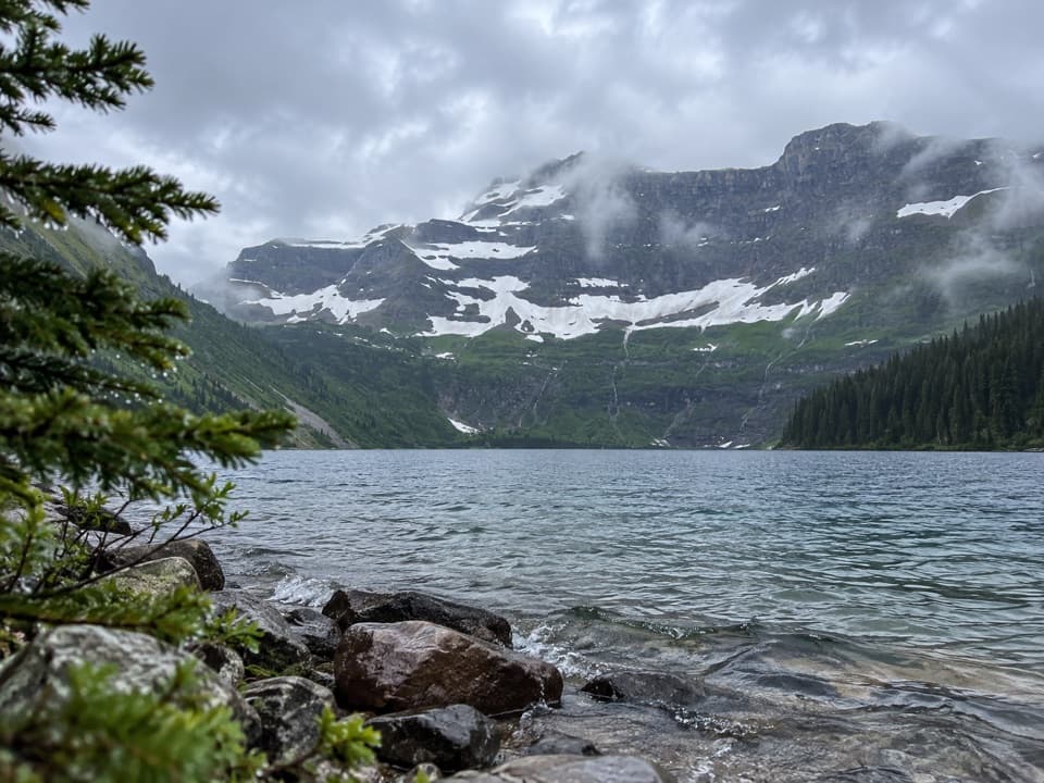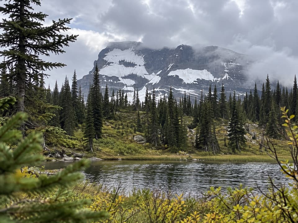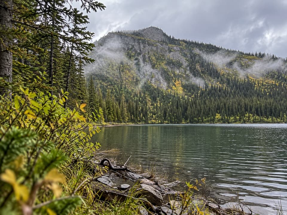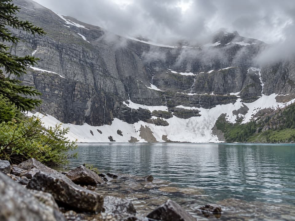
Boundary Creek Trail in Waterton Lakes National Park

Waterton Lakes National Park, AB

Boundary Creek Trail

An 8-mile cross-border link from Summit Lake to Boundary Bay.

Photo: Wikimedia Commons
Length
13km
Time
4hr
Elev. change
652m
Difficulty
Moderate
  • No dogs
  • High point 1,945 m

Hear the audio tour

Cameron Lake

Overview

About Boundary Creek Trail

Why go

  • Connects two backcountry trail systems in a single cross-border traverse.

Heads up

  • One-way access requires a planned approach and exit.

Map & elevation

The route

Loading the Waterton Lakes map
Full map
Elevation1,293–1,945 m
TrailheadSummit Lake (Carthew-Alderson junction)49.00799, -114.02510
Keep this map with you offline in the Parkwolf app

Plan your hike

Before you go

Parking

The north junction is at Summit Lake on the Carthew-Alderson Trail, reached on foot from the Cameron Lake trailhead. The south junction is at Boundary Bay on the Lakeshore Trail. Neither end is a drive-up start; arrange the approach and onward route before beginning.

Safety

This route crosses into Glacier National Park. A valid passport, same-day U.S. CBP ROAM entry reporting, and Canadian re-entry reporting to CBSA are currently required; check current instructions before hiking. Pets are prohibited on the U.S. trail section.

7 active Waterton Lakes alerts

  • ClosureBelly River Campground closedBelly River Campground is closed to all traffic and travel because a carcass is in the area. - Violators may be charged under the Canada National Parks Act, with a maximum penalty of $25,000.Official details
  • ClosureBlakiston Fan closed to protect rutting elkThe Blakiston Fan area is closed to traffic and travel to prevent disturbance of elk rutting there.Official details
See all 7 alerts
A park ranger sits on a dash-mounted phone, talking, as Parkwolf’s Tour Guide plays “Army Cutworm Moths: A Grizzly Bear Buffet” on Grand Loop Road below Dunraven Pass in Yellowstone
Parkwolf Tour GuideThe highest, rockiest slopes around here are a summer buffet for grizzly bears.

Waterton Lakes Tour Guide

Your drive to Boundary Creek Trail, narrated.

Parkwolf is a GPS audio tour guide for Waterton Lakes National Park. As you drive, it chimes in with what’s ahead: hidden gems, upcoming stops, history, geology, and wildlife, right through your car’s speakers.

See the Waterton Lakes audio tour

Recorded for this area

Cameron Lake
0:00 / 0:31
“Cameron Lake is coming up at the end of Akamina Parkway. You can reach the shore straight from the parking area, so make this stop even if you don’t want a hike.”

Plays on the road 2.1 km from the trailhead in the Parkwolf Waterton Lakes Tour Guide.

More stories near here in the app

  • Akamina Pass and Wall Lake
  • Little Prairie Day Use Area
  • Rowe Lakes Trailhead
  • Lineham Falls Trailhead
  • 51 audio storiesacross Waterton Lakes’s roads, triggered by GPS as you drive
  • Wildlife heatmapsfor Bison, Black Bear, Elk, and 13 more
  • Works offlinemaps, 47 trails, 70 places, and audio download before you lose signal
  • CarPlay readysimple controls built for the drive
★★★★★
“Fantastic app with many points of information… It’s great to just turn on while you’re driving and it gives you an audio tour of the national Park. We love it!!!!”
JMJamesApp Store review
Download Parkwolf on the App StoreGet Parkwolf on Google Play

4.7 from 8,600+ ratings

Trail guide

Hiking Boundary Creek Trail

A one-way border linkBoundary Creek Trail is an 8.1-mile (13.

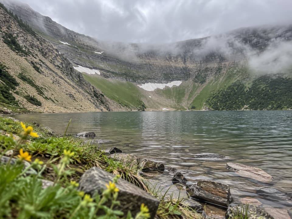
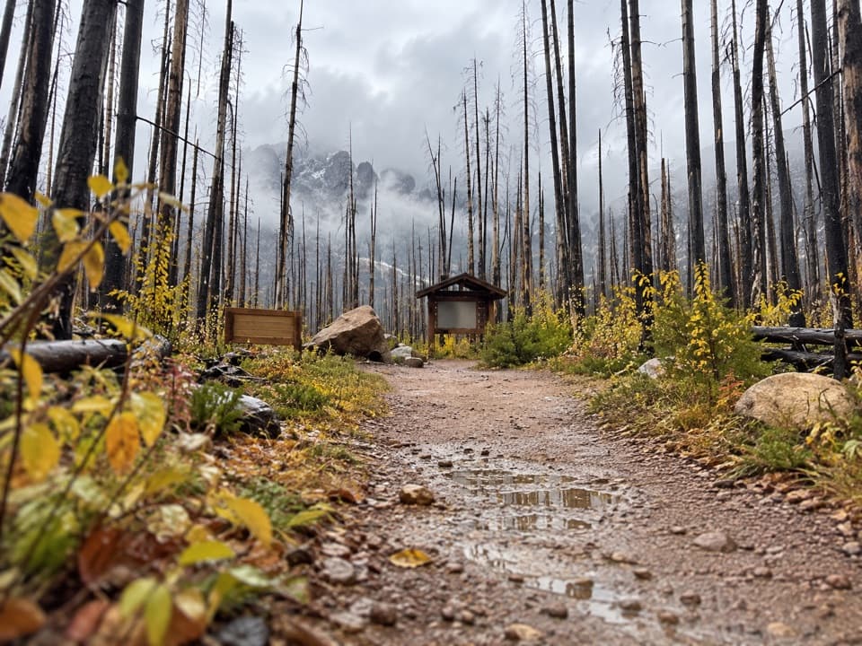
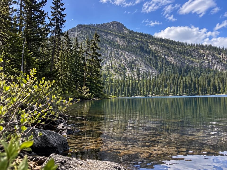
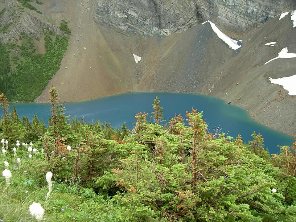
Boundary Creek Trail is an 8.1-mile (13.1 km) point-to-point hike from Summit Lake to Boundary Bay. It leaves the Carthew-Alderson Trail at Summit Lake, descends into the Boundary Creek basin, and reaches the Lakeshore Trail at Boundary Bay after crossing from Waterton Lakes National Park into Glacier National Park in the United States. Allow about four hours one way; the route is rated moderate. It works as one leg of a planned backcountry traverse, not as a loop or a return hike.

What the route feels likeFrom Summit Lake, gentle switchbacks drop into the Boundary Creek basin.

From Summit Lake, gentle switchbacks drop into the Boundary Creek basin. The rest is a long forest walk toward the lake, with the terrain opening near Boundary Creek and Boundary Bay. In the Summit Lake-to-Bay direction, the sampled route loses about 650 m overall. The published 600 m gain figure describes the climb in the reverse direction, back to Summit Lake.

Plan the crossing and both endsThe north end is a backcountry junction on the Carthew-Alderson Trail at Summit Lake; the south…

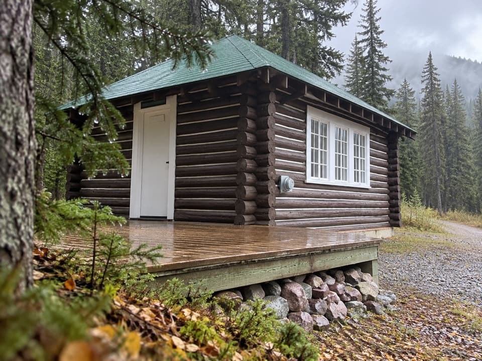
The north end is a backcountry junction on the Carthew-Alderson Trail at Summit Lake; the south end is described as the Lakeshore Trail at Boundary Bay. Neither end is a drive-up start, so plan your approach and onward route before setting out. A valid passport and cross-border entry and re-entry reporting are required; check the current instructions for CBP ROAM and CBSA before you go. The exact mapped connection at Boundary Bay is not clear, so confirm your onward route there. Pets are not permitted on the U.S. trail section.

Wildlife

Wildlife in Waterton Lakes

All Waterton Lakes wildlife maps

Sighting maps show where each species has been reported across Waterton Lakes. Wildlife moves, so no sighting is guaranteed.

Keep exploring

Near Boundary Creek Trail

See it all on the map

Trails that start nearby

Places near the trailhead

Parkwolf’s Waterton Lakes ranking

Top-rated trails in Waterton Lakes

All 47 trails
  1. 1Crypt Lake TrailChallenging · 17.1 km
  2. 2Carthew-Alderson TrailChallenging · 20.1 km
  3. 3Bear’s Hump TrailModerate · 2.9 km
  4. 4Bertha Lake TrailModerate · 10.3 km
  5. 5Lineham RidgeChallenging · 17.2 km
  6. 6Upper Rowe Lake TrailModerate · 12.8 km

Take Parkwolf to Waterton Lakes.

The audio tour guide for the drive, plus offline maps, trails, and wildlife heatmaps for when the signal drops.

4.7 from 8,600+ ratings

Download Parkwolf on the App StoreGet Parkwolf on Google Play