Challenging

Tamarack Trail

Classic 20-mile alpine traverse with big ridge and lake views
Tamarack Trail, Waterton Lakes National Park
Distance20 mi
Typical time48 hr
DifficultyChallenging
PetsAllowed

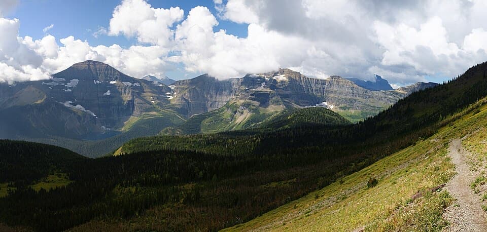
The Tamarack Trail is Waterton’s marquee multi-day traverse: a strenuous, scenic 20-mile (32 km) point-to-point that strings together meadows, lakes, airy ridgelines, and quiet valleys. Most hikers take 2–4 days. It’s not a loop, so plan a shuttle between Red Rock Canyon and the Rowe Lakes trailhead on Akamina Parkway.

Route, distance & logistics

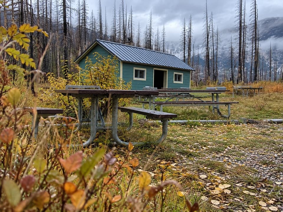
This is a true backcountry link-up, typically hiked between Red Rock Canyon and the Rowe Lakes side. Expect signed junctions and a network feel—Snowshoe acts as a feeder toward Twin Lakes and Lone Lake, with connections onward to the Tamarack route and Rowe Lakes. Campsites (notably Lone Lake and near Twin Lakes) support multi-day pacing, and you’ll cross several streams along the way. Water is available but treat everything.

What you’ll see

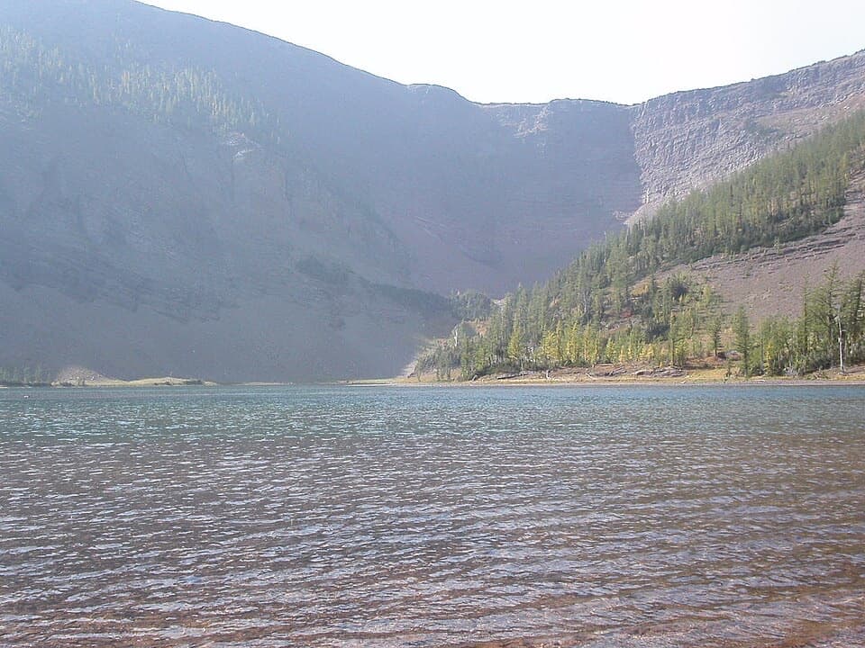
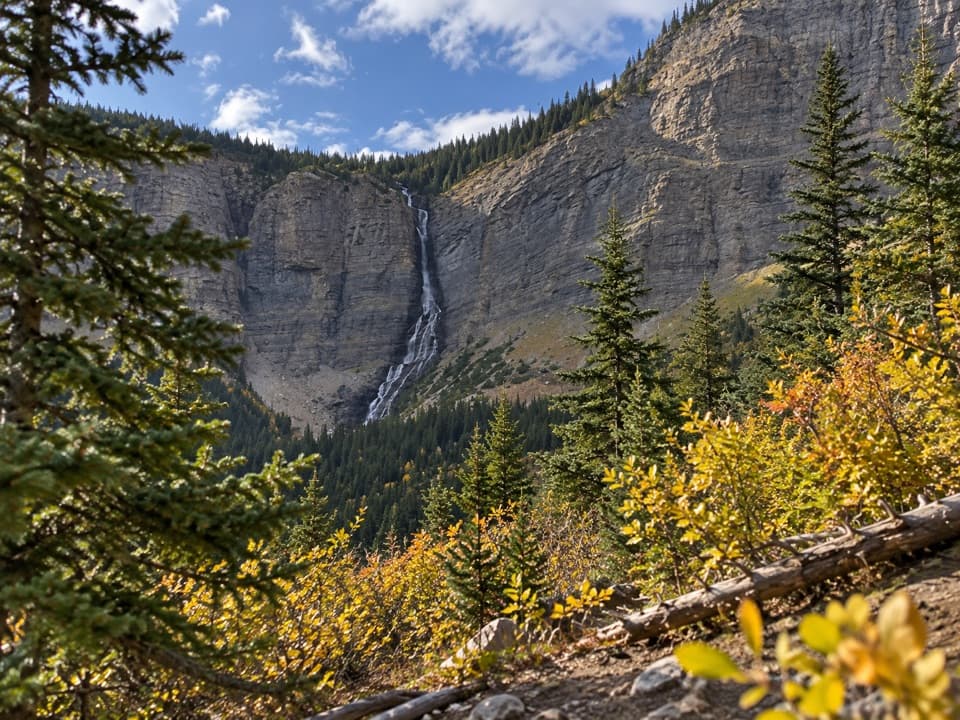
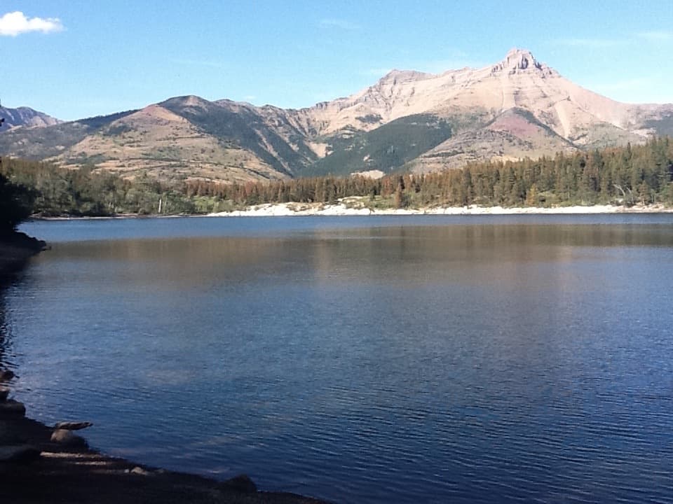
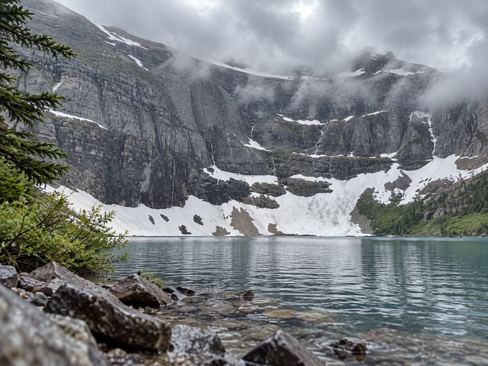
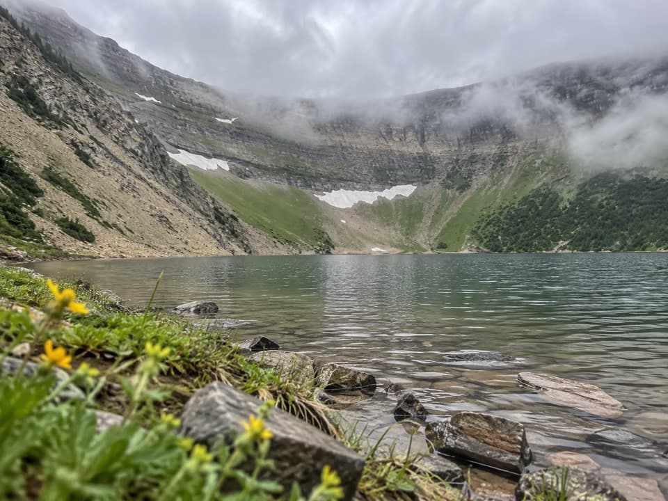
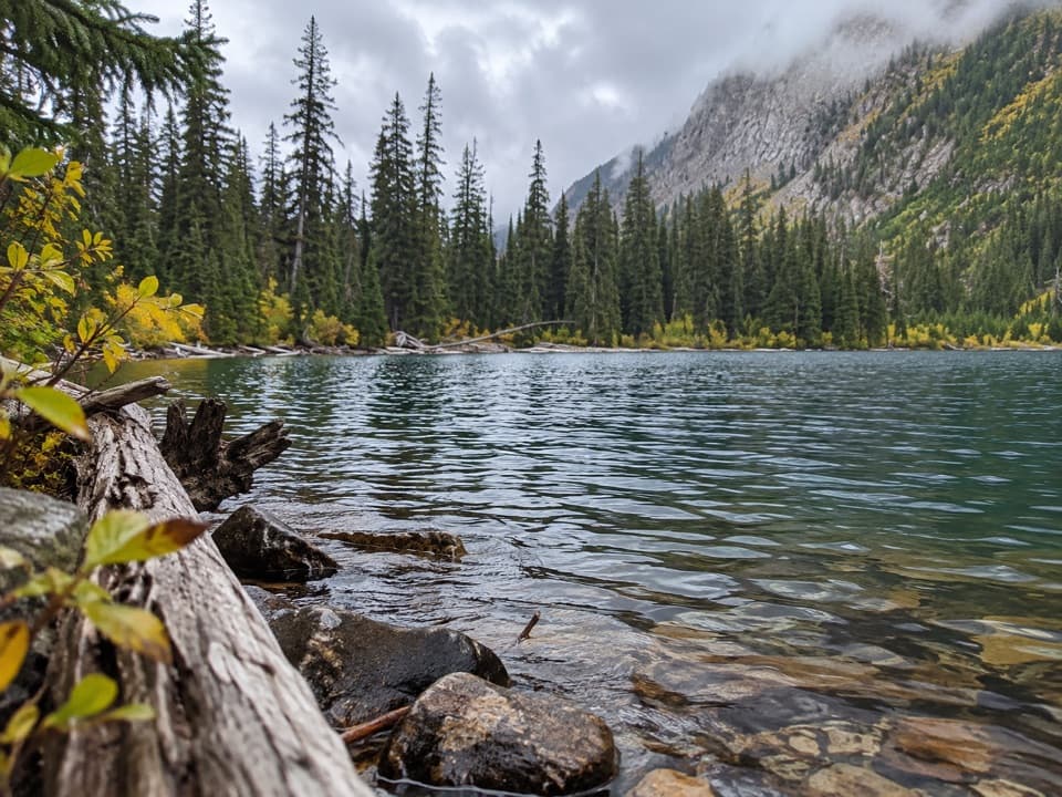
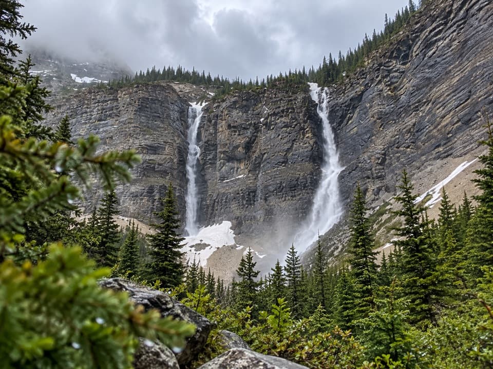
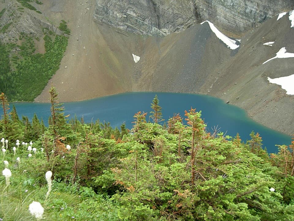
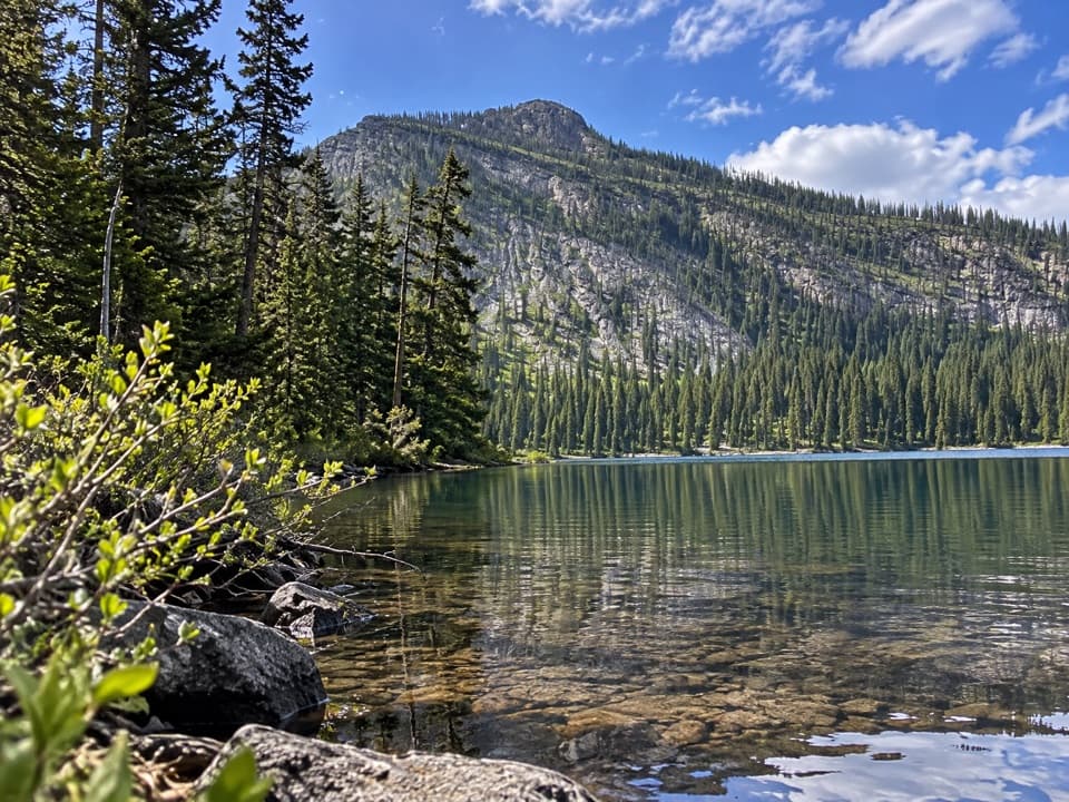
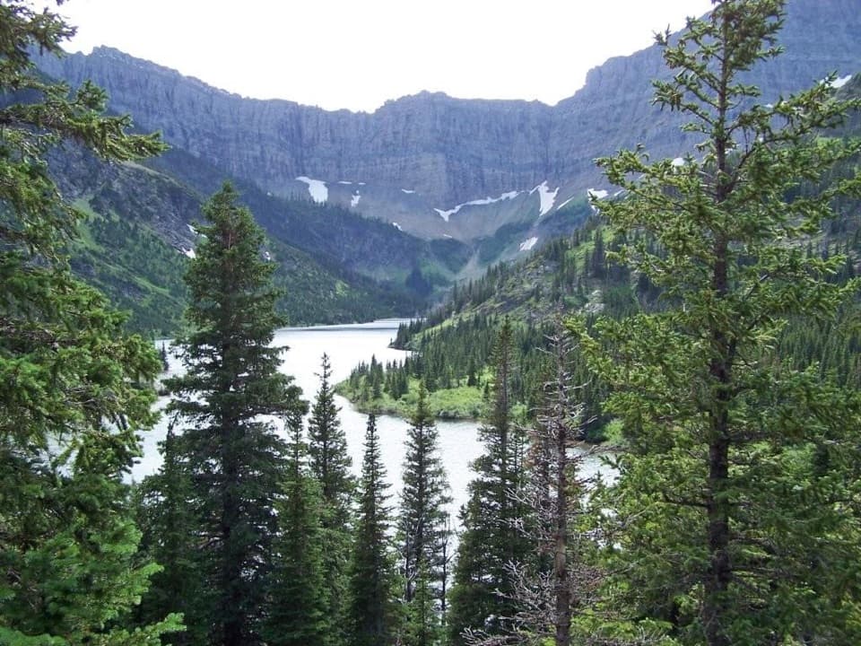
Highlights come fast: lush Rowe Meadows (prime wildflowers in season), the red-rock drama en route to Lineham Ridge, panoramic looks over Upper Rowe Lake, and tranquil gems like Twin Lakes and Lone Lake. The geology is classic Waterton—colorful sedimentary layers and glacially carved valleys—and in fall the namesake tamaracks (larches) flare golden. Wildlife sightings are very possible; bighorn sheep frequent the meadows.

Difficulty & who it’s for

This is a difficult backpack: significant ups and downs, exposed weather above treeline, and long stretches with no services. The trail itself is generally well maintained and not technical, but you need stamina, solid navigation at junctions, and comfort with stream crossings. If you’re looking for a big, quieter traverse than you’ll find in some headline Canadian Rockies parks, this is the one.

Best time to hike

Prime season is July through mid‑September when snow is typically gone and flowers are out. Early season (through late June) can mean lingering snow, mud, and avalanche hazard at higher elevations. Autumn brings that larch-gold spectacle but colder temps and the chance of early snow. Always check Parks Canada’s current conditions, closures, and weather before you commit.

Planning tips

  • Reserve backcountry campgrounds well ahead—sites are limited.
  • Arrange your shuttle early; local operators run services between trailheads.
  • Trekking poles pay off on the sustained climbs/descents and stream fords.
  • Pack for quick weather swings: sun, wind, cold rain—even in midsummer.

If you want a shorter taste of this terrain without the full commitment, the Snowshoe corridor or nearby day routes in the same network can scratch the alpine itch with simpler logistics.

Pros

  • Varied landscapes—meadows, ridges, and lakes—in one continuous traverse
  • Quieter than many Rockies backpacking routes despite top-tier scenery
  • Spectacular fall larch color along higher-elevation sections

Cons

  • Point-to-point logistics require arranging a shuttle or two vehicles
  • Complex junctions in the network demand careful map checks
  • Early/late season snow and stream fords add objective complexity

Parking

Park at either Red Rock Canyon or the Rowe Lakes trailhead on Akamina Parkway; arrange a shuttle or second vehicle for the point-to-point.

Caution

Remote, difficult traverse with variable mountain weather, lingering early-season snow and avalanche risk at higher elevations, multiple stream crossings, and complex junctions—treat all water and check Parks Canada advisories before you go.

The Parkwolf tour guide sitting on a phone mounted in a car

Parkwolf Tour Guide

Like a tour guide in your car.

Bring Waterton Lakes trail research into the car, with offline maps and stories that play as you drive.Download Parkwolf on the App Store