Parking
Start at Rowe Creek Trailhead on Akamina Parkway, 10.5 km from Waterton townsite on the right when driving from town. Parking capacity and trailhead facilities are not documented; bring food and water before setting out.

Waterton Lakes National Park, AB
A flowered meadow in a mountain bowl, reached beside Rowe Creek.
Overview
A log bridge leads into Rowe Meadow, a green opening with a stream running through it and steep mountain walls all around. Wildflowers scatter the meadow in season, including Beargrass in its flowering period. Stop here before the path turns into steep switchbacks for the upper lakes. For a photo, keep the path in the foreground and let it lead toward the rocky bowl; the trail gives the meadow a useful sense of scale.
 Parkwolf’s verdictThe meadow is the payoff
Map & elevation
Plan your hike

The highest, rockiest slopes around here are a summer buffet for grizzly bears.
Waterton Lakes Tour Guide
Parkwolf is a GPS audio tour guide for Waterton Lakes National Park. As you drive, it chimes in with what’s ahead: hidden gems, upcoming stops, history, geology, and wildlife, right through your car’s speakers.
See the Waterton Lakes audio tourRecorded for this trailhead
Rowe Lakes Trailhead“You’re approaching the Rowe Lakes trailhead, where I’d choose Lower Rowe Lake for a moderate hike.”
Plays as you drive up to this trailhead in the Parkwolf Waterton Lakes Tour Guide.
More stories near here in the app
“Fantastic app with many points of information… It’s great to just turn on while you’re driving and it gives you an audio tour of the national Park. We love it!!!!”


Trail guide
Rowe Meadow Trail is a 6.5-mile (10.4 km) out-and-back from Rowe Creek Trailhead on the Akamina Parkway. Allow about four hours for a moderate, steady climb beside Rowe Creek, through forest and open slopes, past Lower Rowe Lake, and into a stream-threaded meadow ringed by mountains. For the listed distance, take the short Lower Rowe Lake branch once on the way out, rejoin the main path, and continue to the meadow; return on the main trail. The meadow is the turnaround, before the steep switchbacks to Upper Rowe Lakes or the separate Lineham Ridge branch.
The route begins beside water tumbling over mossy ledges and bright red argillite. It climbs through mature forest, then the trees thin across open slopes. A short spur from the junction reaches Lower Rowe Lake, the first alpine lake on this route. If you want an easier outing, make that your destination instead: the lake walk is about 5 miles (8 km) return and roughly three hours.
The Rowe Creek Trailhead is 10.5 km along Akamina Parkway, on the right when driving from Waterton townsite. Parking capacity and trailhead facilities are not documented, so bring food and water from town. Dogs are allowed on the trail but must stay leashed and under control. This is bear country; carry bear spray.
Wildlife
 83 sightingsBisonMost seen around 7 PMSighting map
 563 sightingsBlack BearMost seen around 6 PMSighting map
 146 sightingsElkMost seen around 7 PMSighting map
 113 sightingsBighorn SheepMost seen around 7 PMSighting map
 55 sightingsBald EagleMost seen around 9 AMSighting map
 53 sightingsTrumpeter SwanMost seen around 6 PMSighting map
Sighting maps show where each species has been reported across Waterton Lakes. Wildlife moves, so no sighting is guaranteed.
Keep exploring
 ChallengingLineham Ridge17.2 km · 6.5 hr · At the trailheadA hard ridge climb with the Lineham Lakes far below.
 ModerateUpper Rowe Lake Trail12.8 km · 5 hr · At the trailheadCreek cascades, a flowered meadow, and an alpine lake below Mount Rowe.
 ChallengingTamarack Trail34.3 km · 12 hr · At the trailheadCross high ridges and backcountry lakes from Rowe to Red Rock Canyon.
 ModerateLower Rowe Lake Trail8 km · 3 hr · At the trailheadMossy creek ledges and red argillite lead to a cliff-backed lake.
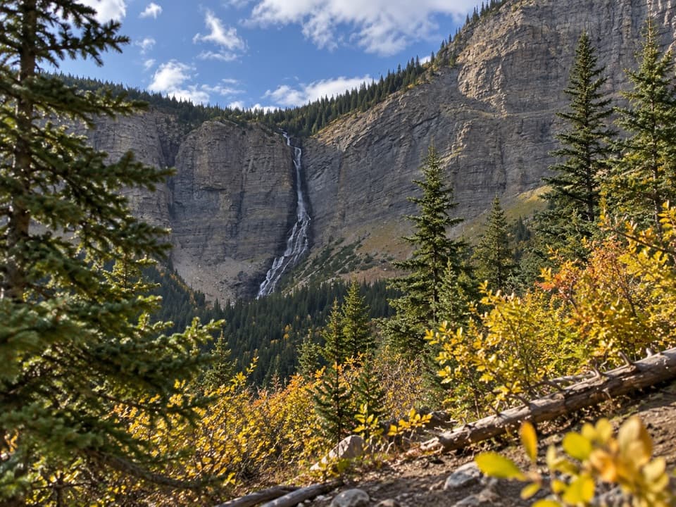 ModerateLineham Falls Trail8.4 km · 3 hr · 1.3 km awayA steady creekside climb to a viewpoint below a 250-metre waterfall.
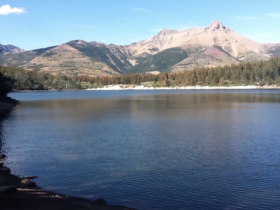 EasyCrandell Lake Trail (Akamina Parkway)3.5 km · 1 hr · 3.4 km awayA steady climb ends at a lake tucked between forested ridges.
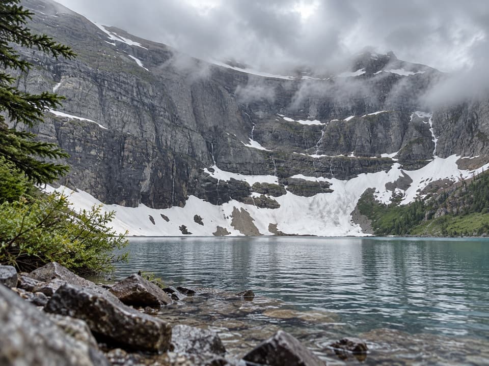 ModerateWall Lake Trail10.4 km · 4.5 hr · 3.8 km awayA cross-border walk from Akamina Pass to a lake beneath sheer cliffs.
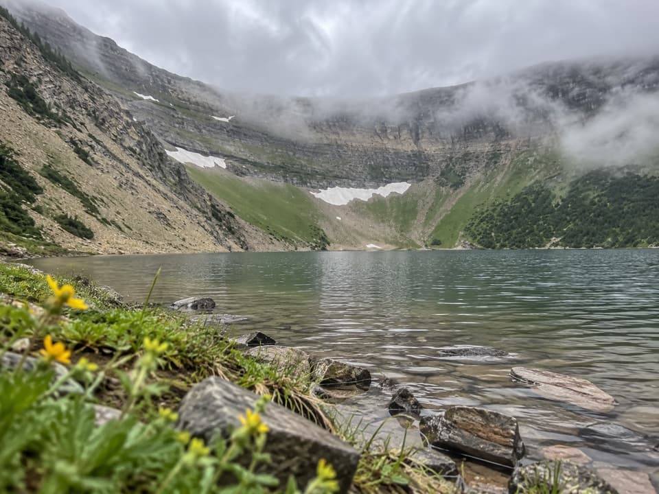 ModerateForum Lake Trail9 km · 3.5 hr · 3.8 km awayColourful ancient limestone makes the lake shore worth the climb.
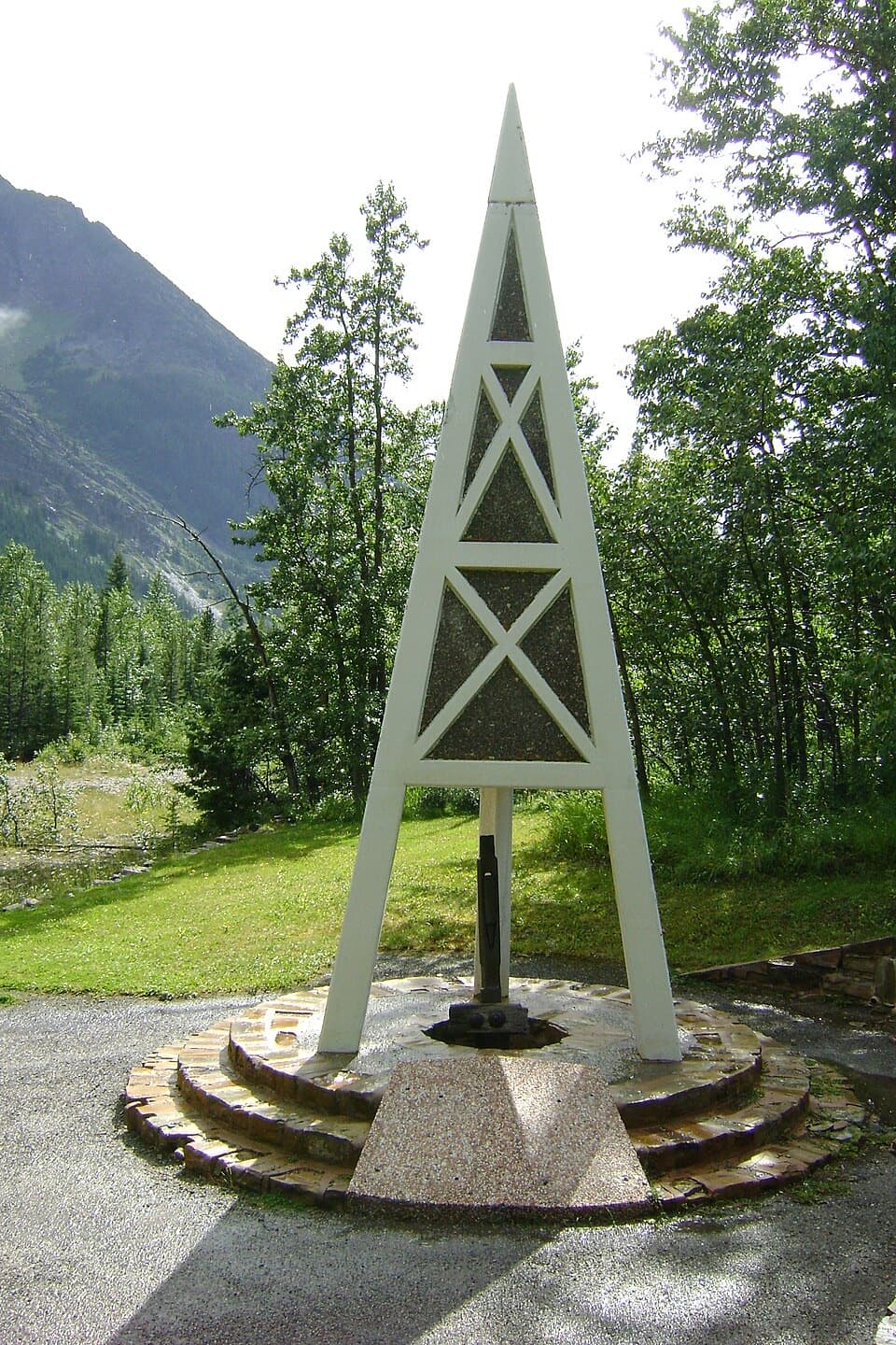 Sight · 2.3 km awayFirst Oil Well in Western Canada National Historic SiteA derrick-shaped monument marks western Canada's first saleable oil.
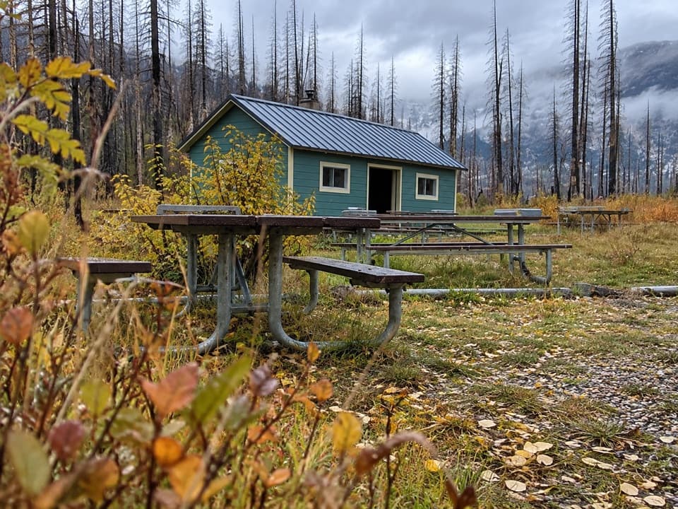 Picnic area · 2.4 km awayLittle Prairie Day Use AreaA useful picnic stop that becomes the winter road's end.
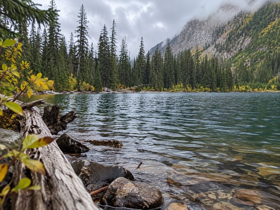 Sight · 3 km awayLower Rowe LakeA small alpine lake beneath steep cliffs, reached by a moderate hike.Sight · 3.6 km awayUpper Rowe LakesA meadow and alpine lakes at the end of steep switchbacks.
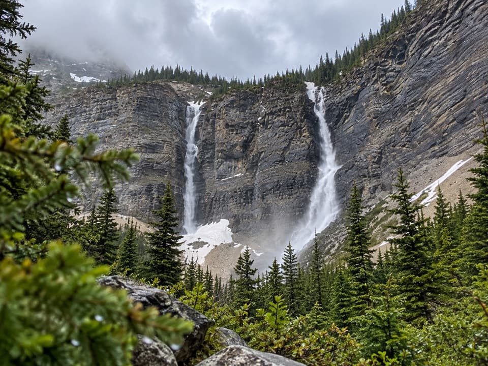 Sight · 3.9 km awayLineham FallsA moderate hike to twin falls beneath two high peaks.
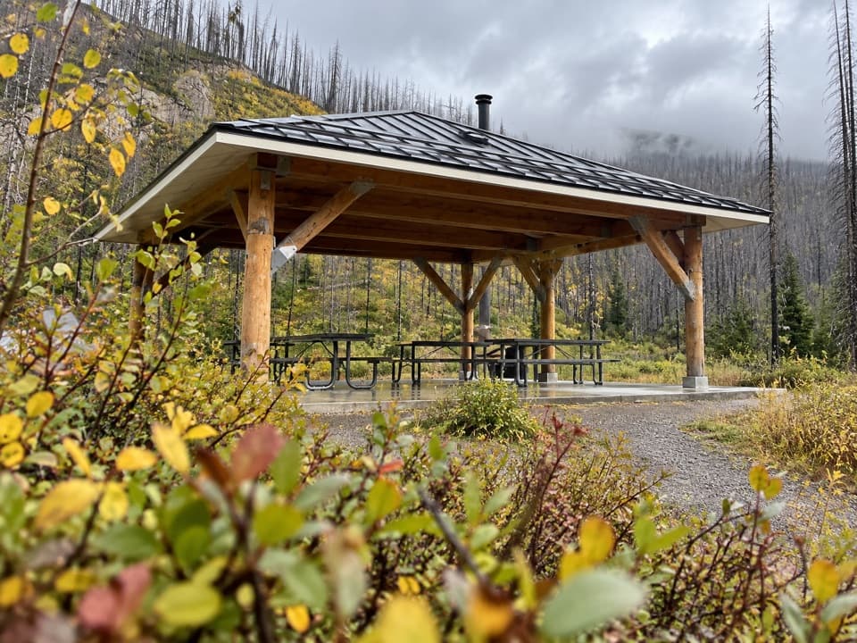 Picnic area · 4 km awayMcNeely’s Day Use AreaA creekside picnic with a shelter and wood stove.
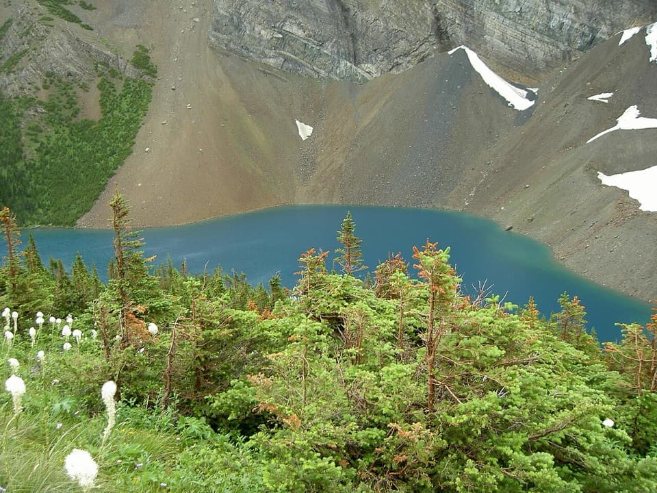 Sight · 4.1 km awayAlderson LakeBlue water, high cliffs, and an all-day hike to get there.
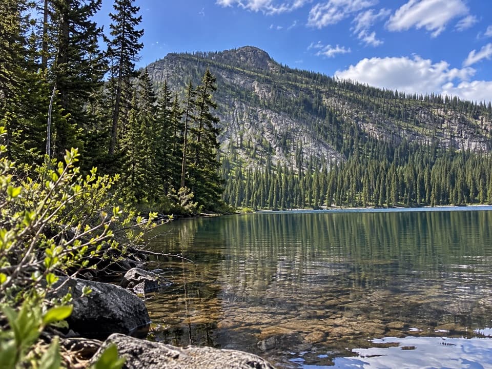 Sight · 4.3 km awayAkamina LakeAn easy half-hour detour to a sheltered subalpine lake.
Parkwolf’s Waterton Lakes ranking
The audio tour guide for the drive, plus offline maps, trails, and wildlife heatmaps for when the signal drops.



