Winter access
Red Rock Parkway closes to vehicles in winter, and snow can make some day-use sites inaccessible. The road remains open for winter recreation, but don’t count on reaching Coppermine by car then.

Picnic area · Waterton Lakes National Park
A sheltered picnic break on the Red Rock Parkway.
Overview
Map
Plan your stop

The highest, rockiest slopes around here are a summer buffet for grizzly bears.
Waterton Lakes Tour Guide
Parkwolf is a GPS audio tour guide for Waterton Lakes National Park. As you drive, it chimes in with what’s ahead: hidden gems, upcoming stops, history, geology, and wildlife, right through your car’s speakers.
See the Waterton Lakes audio tourRecorded for this place
Coppermine Day Use Area“You’re nearing Coppermine Day Use Area on Red Rock Parkway. Choose it for a simple picnic with a view toward Blakiston Creek.”
Plays as you drive up to Coppermine Day Use Area in the Parkwolf Waterton Lakes Tour Guide.
More stories near here in the app
“Fantastic app with many points of information… It’s great to just turn on while you’re driving and it gives you an audio tour of the national Park. We love it!!!!”


Guide
Coppermine is a small picnic area on Red Rock Parkway with a view toward Blakiston Creek. It suits a meal break on the drive when you want a table and shelter; the creek outlook is a bonus, not an elaborate attraction.
There are 11 picnic tables, one shelter with a fire box, and dry toilets. Parking is paved and described as accessible. Alcohol isn’t allowed at day-use areas.
Wildlife
 83 sightingsBisonMost seen around 7 PMSighting map
 563 sightingsBlack BearMost seen around 6 PMSighting map
 146 sightingsElkMost seen around 7 PMSighting map
 113 sightingsBighorn SheepMost seen around 7 PMSighting map
 55 sightingsBald EagleMost seen around 9 AMSighting map
 53 sightingsTrumpeter SwanMost seen around 6 PMSighting map
Sighting maps show where each species has been reported across Waterton Lakes. Wildlife moves, so no sighting is guaranteed.
Keep exploring
 EasyCrandell Lake Trail (Red Rock Parkway)3.9 km · 1.3 hr · 0.7 km awayA steady forest climb to a sheltered lake between ridges.
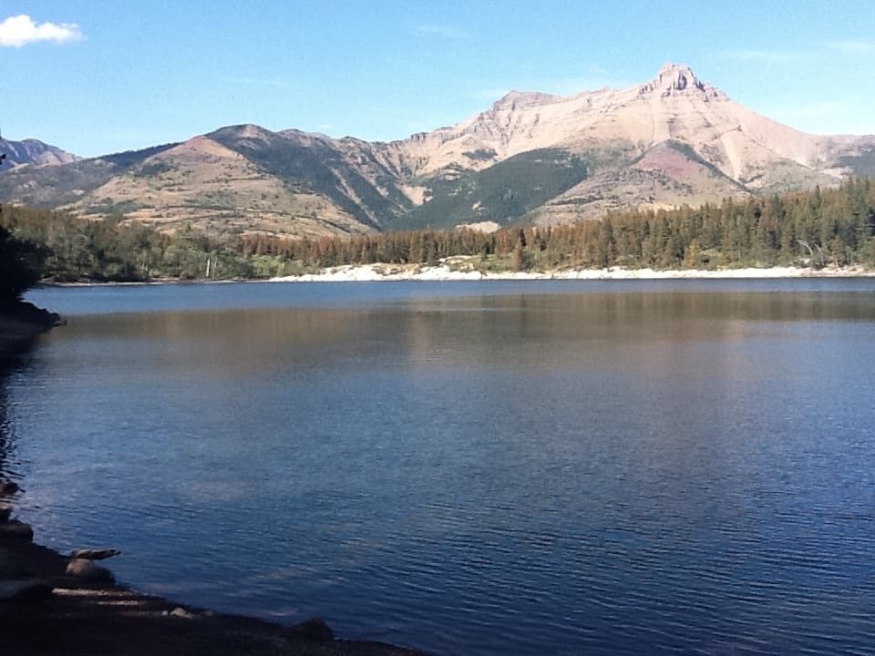 EasyCrandell Lake Trail (Akamina Parkway)3.5 km · 1 hr · 3.2 km awayA steady climb ends at a lake tucked between forested ridges.
 ModerateBellevue Prairie Trail7.6 km · 2.5 hr · 4.7 km awaySpring wildflowers brighten the open prairie below Bellevue Hill.
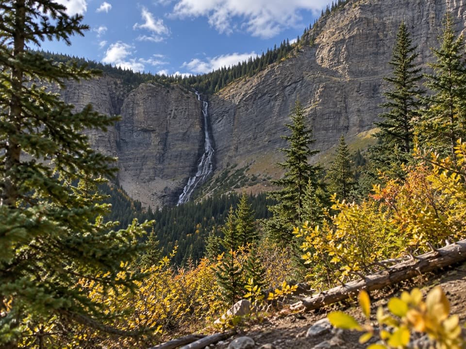 ModerateLineham Falls Trail8.4 km · 3 hr · 5.1 km awayA steady creekside climb to a viewpoint below a 250-metre waterfall.
 ChallengingLone Lake Trail28 km · 14 hr · 5.6 km awayA two-day backcountry trek to a mountain lake.
 ModerateSouth Kootenay Pass Trail20.1 km · 7 hr · 5.6 km awayA long creekside climb to the British Columbia boundary.
 ChallengingAvion Ridge Loop24.9 km · 10 hr · 5.7 km awayA full-day loop from Goat Lake across Avion Ridge.
 ChallengingSage Pass Trail25.1 km · 8 hr · 5.7 km awayA long, steep return hike to a saddle on the Great Divide.
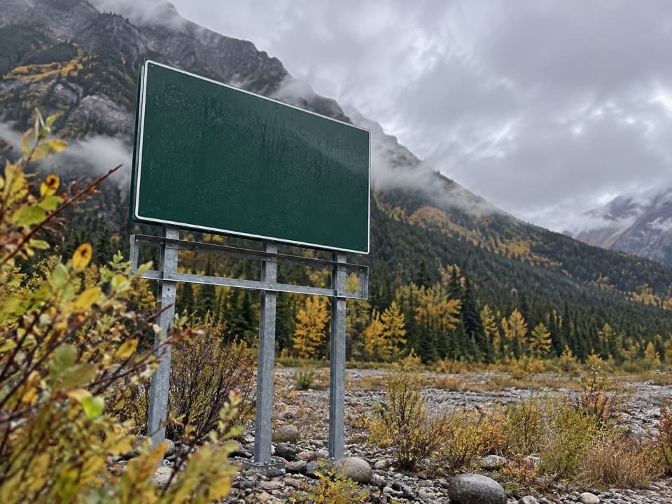 Campground · 0.6 km awayCrandell Mountain CampgroundRed Rock Parkway’s campground, reshaped by the Kenow fire.Sight · 2 km awayCrandell LakeA mountain-framed lake reached by a short uphill walk.
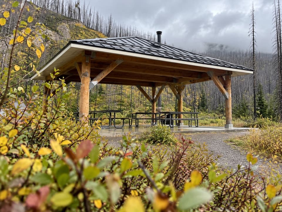 Picnic area · 2.9 km awayMcNeely’s Day Use AreaA creekside picnic with a shelter and wood stove.
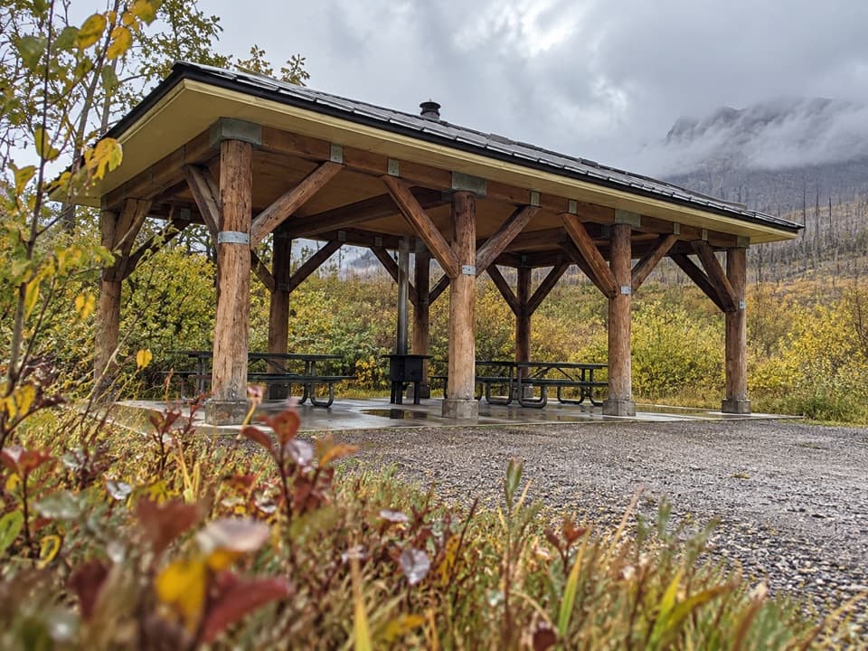 Picnic area · 3.5 km awayLost Horse Creek Day Use AreaA stove-equipped shelter makes this a handy picnic stop.
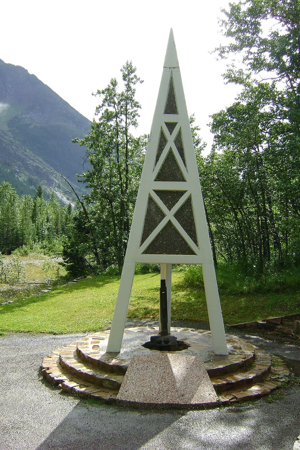 Sight · 4.2 km awayFirst Oil Well in Western Canada National Historic SiteA derrick-shaped monument marks western Canada's first saleable oil.
 Sight · 5.8 km awayRed Rock CanyonA quick creekside walk through red and green canyon rock.
 Picnic area · 6 km awayLinnet Lake Day Use AreaA quiet picnic stop beside an easy, paved lake loop.
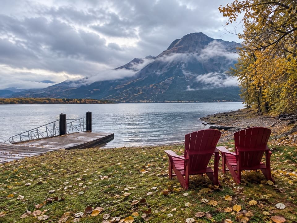 Sight · 6.1 km awayMiddle Waterton Lake Boat LaunchThe red chairs look straight across the water to Vimy Peak.
Parkwolf’s Waterton Lakes ranking

The audio tour guide for the drive, plus offline maps, trails, and wildlife heatmaps for when the signal drops.