Parking
Start at the Red Rock Canyon lower parking lot. Walk past the kitchen shelter, cross Red Rock Creek, then cross Bauerman Creek to the left and turn right toward the Blakiston Valley route.

Waterton Lakes National Park, AB
A long creekside climb to the British Columbia boundary.
Overview
Map & elevation
Plan your hike

The highest, rockiest slopes around here are a summer buffet for grizzly bears.
Waterton Lakes Tour Guide
Parkwolf is a GPS audio tour guide for Waterton Lakes National Park. As you drive, it chimes in with what’s ahead: hidden gems, upcoming stops, history, geology, and wildlife, right through your car’s speakers.
See the Waterton Lakes audio tourRecorded for this trailhead
Red Rock Canyon“You’re coming up on Red Rock Canyon, where a creek cuts through red and green rock. This is a good stop for a close look at the landscape without a long hike.”
Plays as you drive up to this trailhead in the Parkwolf Waterton Lakes Tour Guide.
More stories near here in the app
“Fantastic app with many points of information… It’s great to just turn on while you’re driving and it gives you an audio tour of the national Park. We love it!!!!”


Trail guide
South Kootenay Pass Trail is a 12.5-mile return hike from Red Rock Canyon’s lower lot through the Blakiston Valley to the pass on the British Columbia boundary. The official park map measures about 10.1 km each way, and the walk back follows the same corridor. Allow about seven hours; this is a full-day backcountry outing, not a quick pass lookout.
Start past the kitchen shelter, cross the Red Rock Creek bridge, then take the left crossing over Bauerman Creek and turn right into the valley. Stay on the route along Blakiston Creek to the junction, then choose the continuation to South Kootenay Pass. Other branches lead toward Lone Lake, Twin Lakes, Snowshoe, Tamarack and Rowe Lakes; those are separate hikes. Dogs are allowed on leash and under control, and horses also use this trail.
The route photo shows the upper tread crossing a rocky slope among standing burned trunks. Terrain data puts the pass about 610 m above the lower lot, while one published figure lists 350 m of gain. Those numbers do not agree, so plan for the larger climb. The surface and grade vary along the long approach, and the upper rocky section is uneven underfoot.
The pass is a wooded boundary crossing rather than a broad viewpoint. This route turns around there; continuing into Akamina-Kishinena Provincial Park in British Columbia makes for a different and longer itinerary.
Wildlife
 83 sightingsBisonMost seen around 7 PMSighting map
 563 sightingsBlack BearMost seen around 6 PMSighting map
 146 sightingsElkMost seen around 7 PMSighting map
 113 sightingsBighorn SheepMost seen around 7 PMSighting map
 55 sightingsBald EagleMost seen around 9 AMSighting map
 53 sightingsTrumpeter SwanMost seen around 6 PMSighting map
Sighting maps show where each species has been reported across Waterton Lakes. Wildlife moves, so no sighting is guaranteed.
Keep exploring
 ChallengingLone Lake Trail28 km · 14 hr · At the trailheadA two-day backcountry trek to a mountain lake.
 EasyBlakiston Falls Trail2.3 km · 54 min · 0.3 km awayTwo creek bridges lead to twin views of the waterfall.
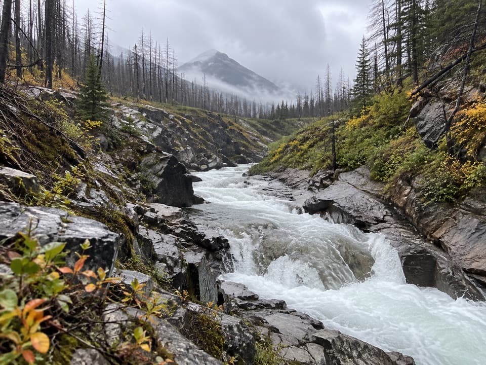 ModerateBlakiston Valley Trail20.1 km · 7 hr · 0.3 km awayA daylong creek walk to an open valley junction.
 ChallengingAvion Ridge Loop24.9 km · 10 hr · 0.3 km awayA full-day loop from Goat Lake across Avion Ridge.
 ChallengingSage Pass Trail25.1 km · 8 hr · 0.3 km awayA long, steep return hike to a saddle on the Great Divide.
 EasyRed Rock Canyon Loop Trail0.7 km · 24 min · 0.3 km awayA quick paved loop through red, green and pale canyon walls.
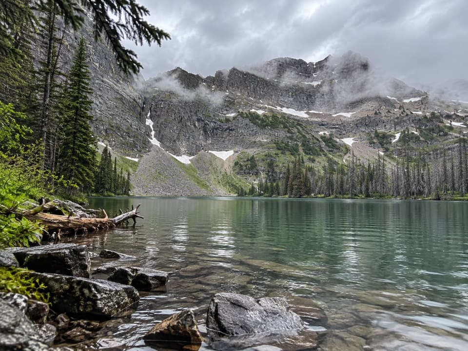 ChallengingGoat Lake Trail14 km · 5 hr · 0.3 km awayA rolling forest approach rises steeply to a cirque-ringed lake.
 ModerateCastle River Divide Trail22.5 km · 8 hr · 0.3 km awayA long forest walk to a quiet watershed ridge.
 Sight · 0.3 km awayRed Rock CanyonA quick creekside walk through red and green canyon rock.Sight · 0.7 km awayBlakiston FallsAn easy creekside walk ends at two platforms above the falls.
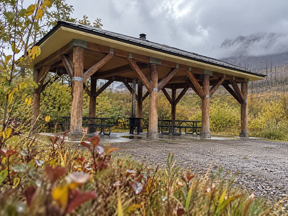 Picnic area · 2.1 km awayLost Horse Creek Day Use AreaA stove-equipped shelter makes this a handy picnic stop.
 Picnic area · 5.6 km awayCoppermine Day Use AreaA sheltered picnic break on the Red Rock Parkway.
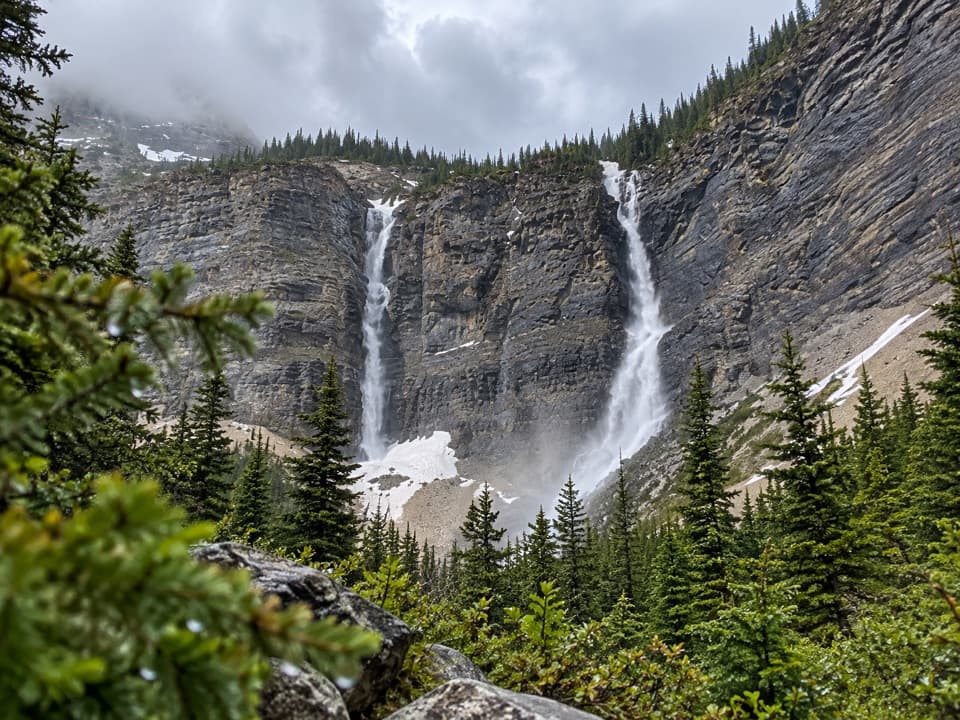 Sight · 6 km awayLineham FallsA moderate hike to twin falls beneath two high peaks.
 Campground · 6.1 km awayGoat LakeCliff-ringed lake at the end of a steep, hard-earned hike.
 Campground · 6.2 km awayCrandell Mountain CampgroundRed Rock Parkway’s campground, reshaped by the Kenow fire.
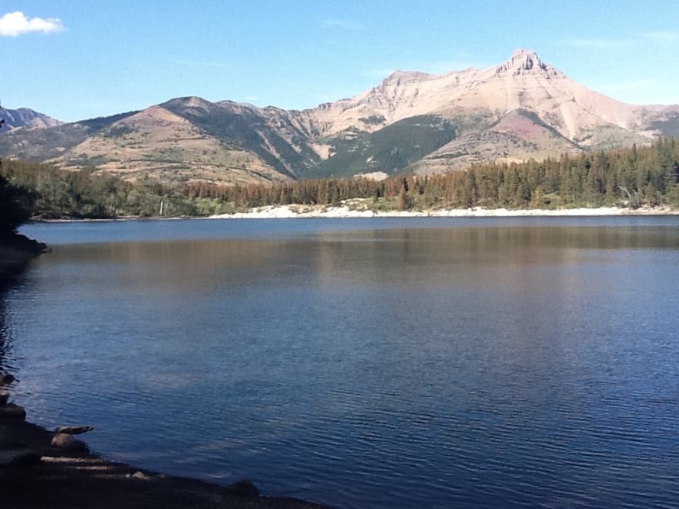 Sight · 6.3 km awayCrandell LakeA mountain-framed lake reached by a short uphill walk.
Parkwolf’s Waterton Lakes ranking

The audio tour guide for the drive, plus offline maps, trails, and wildlife heatmaps for when the signal drops.





