Crandell Lake Trail (Red Rock Parkway) in Waterton Lakes National Park

Waterton Lakes National Park, AB

Crandell Lake Trail (Red Rock Parkway)

A steady forest climb to a sheltered lake between ridges.

Length
3.9km
Time
1.3hr
Elev. change
154m
Difficulty
Easy
  • Dogs allowed
  • High point 1,555 m
  • #22 of 47 in Waterton Lakes

Hear the audio tour

Coppermine Day Use Area

Overview

About Crandell Lake Trail (Red Rock Parkway)

Why go

  • A short family route to a real lake clearing.
  • A sheltered shoreline setting with ridges on three sides.

Heads up

  • The uphill grade is steady.
  • Shared use with cyclists and horseback riders; the mountain views arrive at the lake.

Map & elevation

The route

Loading the Waterton Lakes map
Full map
Elevation1,401–1,555 m
TrailheadCrandell Mountain Campground access trailhead parking (Red Rock Parkway)49.10052, -113.96683
Keep this map with you offline in the Parkwolf app

Plan your hike

Before you go

Parking

From Red Rock Parkway, turn into Crandell Mountain Campground access, cross the bridge and continue to the trailhead parking. The trail starts at the locked vehicle gate on the gravel road. Red Rock Parkway is seasonal to motor vehicles; check access before driving.

Safety

The steady climb crosses wet boardwalk sections and occasional slick granite. Cyclists and horses share the trail, especially around sharp bends.

7 active Waterton Lakes alerts

  • ClosureCrandell Mountain Campground closed for reconstructionMentions Crandell Mountain Campground, referenced in this guideCrandell Mountain Campground is closed during reconstruction; no completion date has been set. - Stage one of the reconstruction is complete; plans for stage two are still being determined.Official details
  • ClosureBelly River Campground closedBelly River Campground is closed to all traffic and travel because a carcass is in the area. - Violators may be charged under the Canada National Parks Act, with a maximum penalty of $25,000.Official details
See all 7 alerts
A park ranger sits on a dash-mounted phone, talking, as Parkwolf’s Tour Guide plays “Army Cutworm Moths: A Grizzly Bear Buffet” on Grand Loop Road below Dunraven Pass in Yellowstone
Parkwolf Tour GuideThe highest, rockiest slopes around here are a summer buffet for grizzly bears.

Waterton Lakes Tour Guide

Your drive to Crandell Lake Trail (Red Rock Parkway), narrated.

Parkwolf is a GPS audio tour guide for Waterton Lakes National Park. As you drive, it chimes in with what’s ahead: hidden gems, upcoming stops, history, geology, and wildlife, right through your car’s speakers.

See the Waterton Lakes audio tour

Recorded for this area

Coppermine Day Use Area
0:00 / 0:15
“You’re nearing Coppermine Day Use Area on Red Rock Parkway. Choose it for a simple picnic with a view toward Blakiston Creek.”

Plays on the road 0.7 km from the trailhead in the Parkwolf Waterton Lakes Tour Guide.

More stories near here in the app

  • Older Rock on Top
  • A Squirrel's Cone Store
  • Crandell Lake Trailhead and McNeely’s
  • Kootenai Brown Learns to Type
  • 51 audio storiesacross Waterton Lakes’s roads, triggered by GPS as you drive
  • Wildlife heatmapsfor Bison, Black Bear, Elk, and 13 more
  • Works offlinemaps, 47 trails, 70 places, and audio download before you lose signal
  • CarPlay readysimple controls built for the drive
★★★★★
“Fantastic app with many points of information… It’s great to just turn on while you’re driving and it gives you an audio tour of the national Park. We love it!!!!”
JMJamesApp Store review
Download Parkwolf on the App StoreGet Parkwolf on Google Play

4.7 from 8,600+ ratings

Trail guide

Hiking Crandell Lake Trail (Red Rock Parkway)

The campground-side lake walkCrandell Lake Trail (Red Rock Parkway) is a 4 km (2.

Crandell Lake Trail (Red Rock Parkway) is a 4 km (2.4 mile) out-and-back from Crandell Mountain Campground access to the lake. Allow about 1 hour 15 minutes for roughly 125 m (410 ft) of climbing. A detailed trail entry lists 4 km return, while the general hiking table lists 6.8 km for the Red Rock Parkway route. This record follows the campground-access start and its mapped corridor; the published figures remain in conflict, so confirm the start if you see the longer distance.

A steady climb through the treesThe route follows a former cart track uphill through forest.

The route follows a former cart track uphill through forest. Boardwalks cross wetter ground, and some granite can be slick. The trees hide most of the surrounding mountains until the path crests and drops into the lake clearing. It is rated easy, but the climb is steady rather than flat.

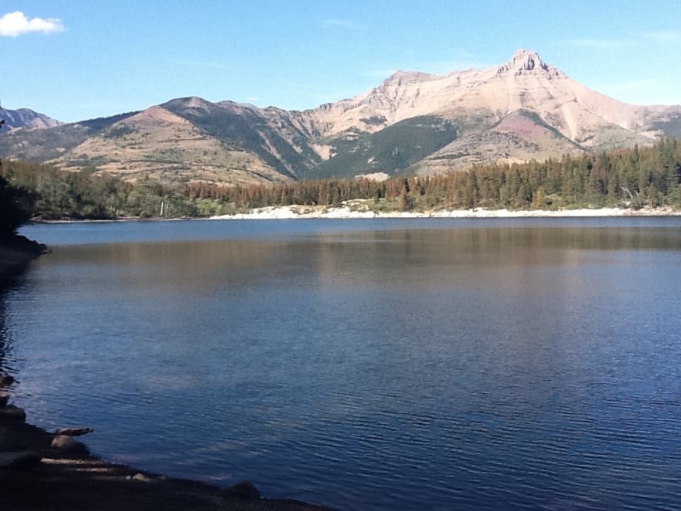
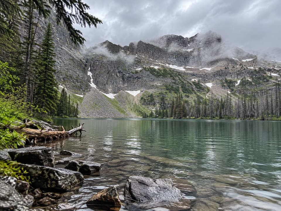
Crandell LakeThe lake sits in a forested saddle, with Mount Crandell to the east, Buchanan Ridge to the…

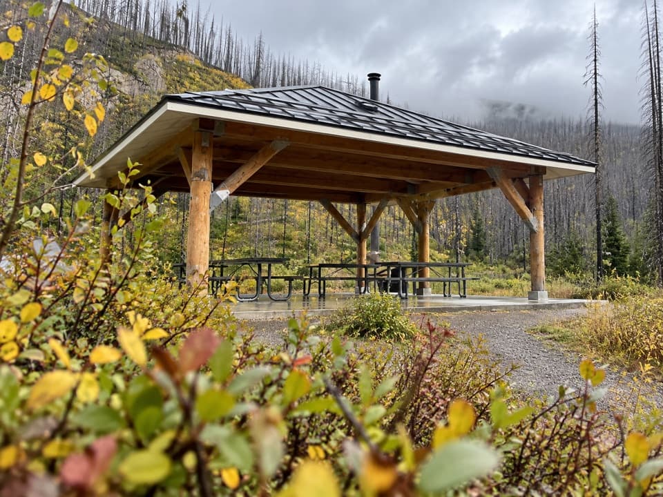
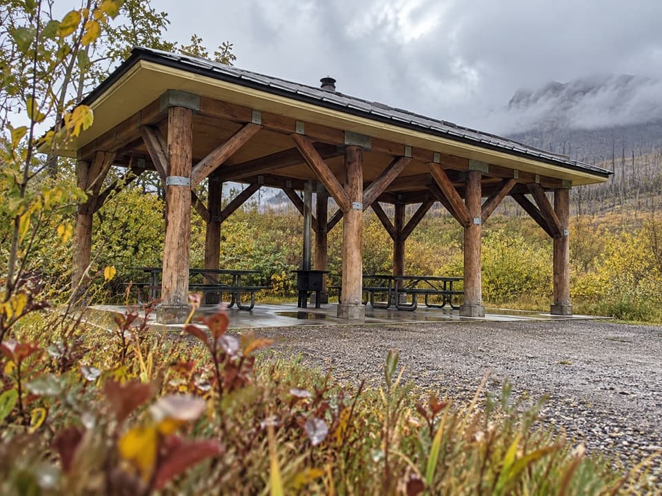
The lake sits in a forested saddle, with Mount Crandell to the east, Buchanan Ridge to the south and Ruby Ridge to the west. The clearing at the water is the main payoff and a good place to pause. A covered cook shelter and campsites are set back near the shore. For a photo, keep some water and shoreline in the foreground so the ridges still read as a mountain setting.

Access and shared useStart from the parking beyond the bridge at Crandell Mountain Campground access; the trail…

Start from the parking beyond the bridge at Crandell Mountain Campground access; the trail begins at a locked vehicle gate on the gravel road. Red Rock Parkway is seasonal for motor vehicles, so check the drive before setting out. Cyclists and horseback riders also use the trail, especially around sharp corners. Dogs are allowed on leash. The Akamina Parkway and Townsite approaches reach the same lake by different routes.

Wildlife

Wildlife in Waterton Lakes

All Waterton Lakes wildlife maps

Sighting maps show where each species has been reported across Waterton Lakes. Wildlife moves, so no sighting is guaranteed.

Keep exploring

Near Crandell Lake Trail (Red Rock Parkway)

See it all on the map

Trails that start nearby

Places near the trailhead

Parkwolf’s Waterton Lakes ranking

Top-rated trails in Waterton Lakes

All 47 trails
  1. 1Crypt Lake TrailChallenging · 17.1 km
  2. 2Carthew-Alderson TrailChallenging · 20.1 km
  3. 3Bear’s Hump TrailModerate · 2.9 km
  4. 4Bertha Lake TrailModerate · 10.3 km
  5. 5Lineham RidgeChallenging · 17.2 km
  6. 6Upper Rowe Lake TrailModerate · 12.8 km

Take Parkwolf to Waterton Lakes.

The audio tour guide for the drive, plus offline maps, trails, and wildlife heatmaps for when the signal drops.

4.7 from 8,600+ ratings

Download Parkwolf on the App StoreGet Parkwolf on Google Play