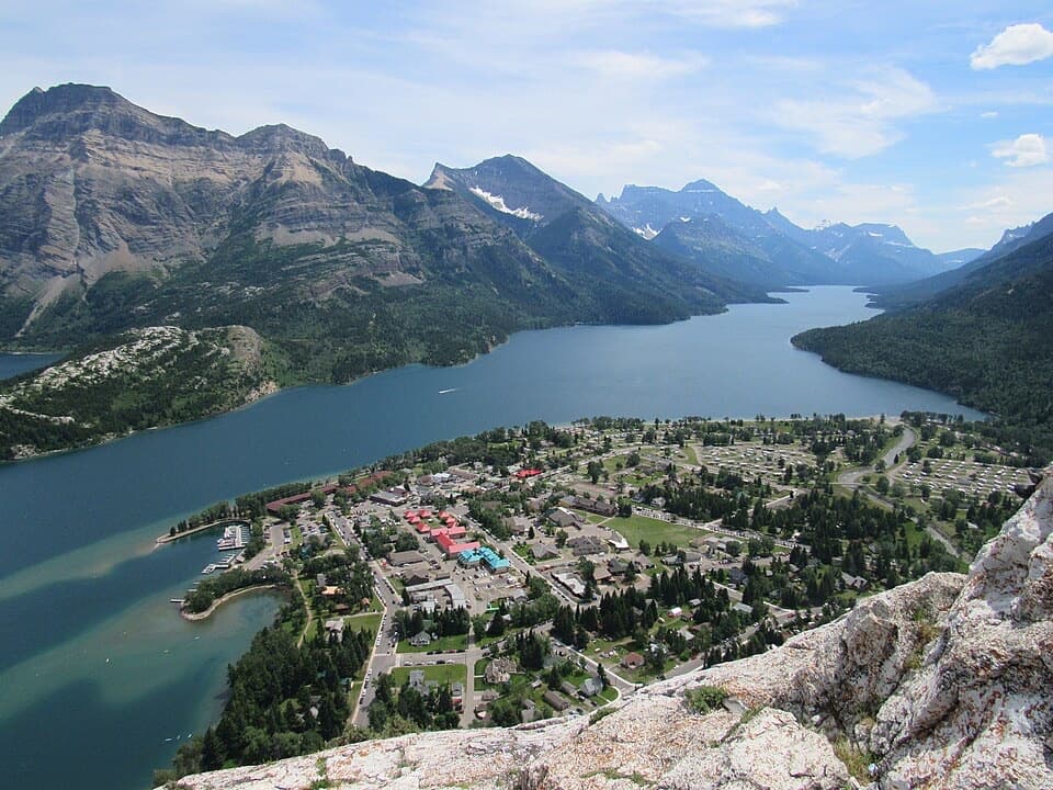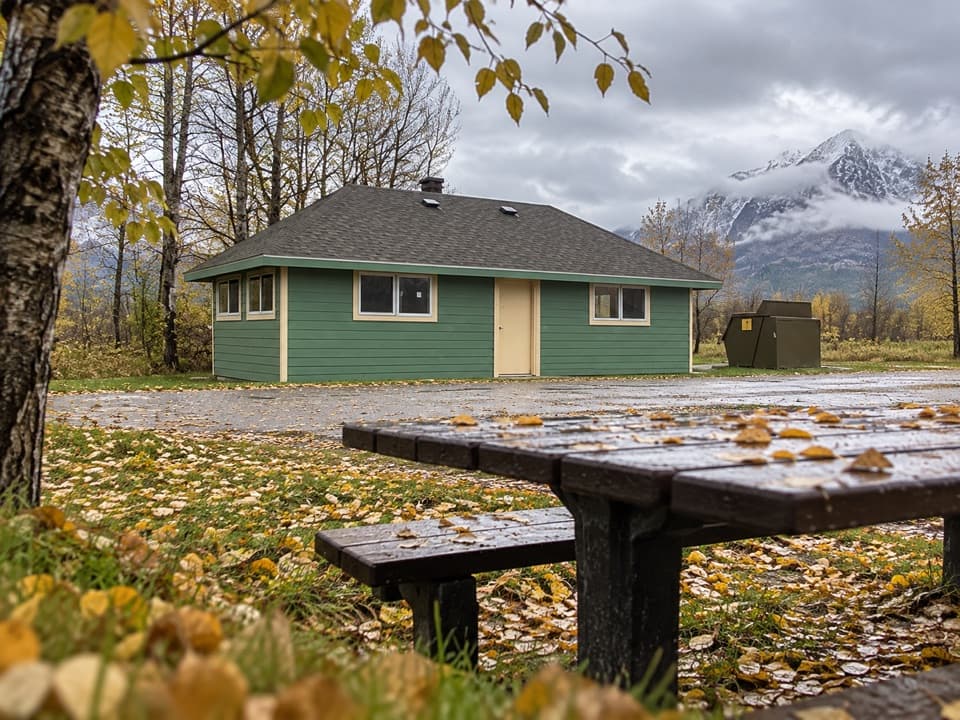
Maskinonge Day Use Area in Waterton Lakes National Park

Picnic area · Waterton Lakes National Park

Maskinonge Day Use Area

A quiet picnic stop in a sacred Blackfoot landscape.

Type
Picnic area
Nearest trail
0.7 km
Audio stories
8 nearby
  • Picnic tables
  • Restrooms
  • Parking

Hear the audio tour

Maskinonge Day Use Area

Overview

About Maskinonge Day Use Area

Why stop

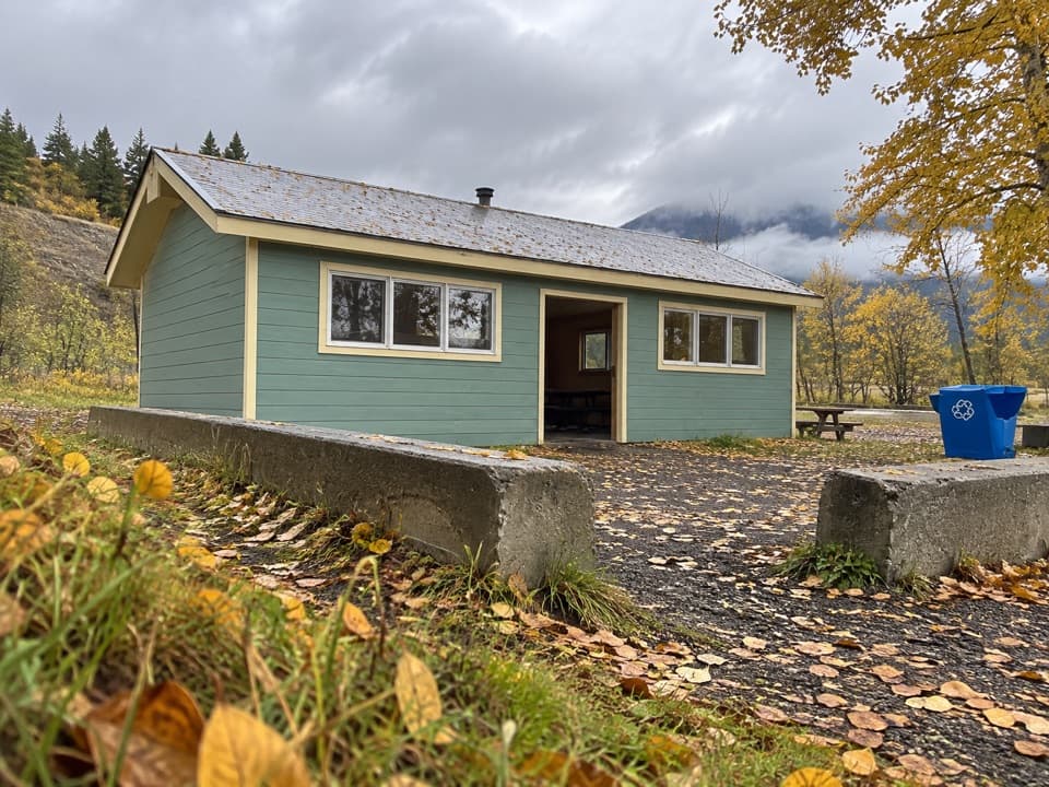
  • One shelter, 13 tables, stoves and fire boxes make this a well-equipped picnic stop.

Map

Where it is

Loading the Waterton Lakes map
Full map
Picnic areaMaskinonge Day Use Area49.11039, -113.84125
Keep this map with you offline in the Parkwolf app

Plan your stop

Before you go

7 active Waterton Lakes alerts

  • ClosureBelly River Campground closedBelly River Campground is closed to all traffic and travel because a carcass is in the area. - Violators may be charged under the Canada National Parks Act, with a maximum penalty of $25,000.Official details
  • ClosureBlakiston Fan closed to protect rutting elkThe Blakiston Fan area is closed to traffic and travel to prevent disturbance of elk rutting there.Official details

See all 7 alerts
A park ranger sits on a dash-mounted phone, talking, as Parkwolf’s Tour Guide plays “Army Cutworm Moths: A Grizzly Bear Buffet” on Grand Loop Road below Dunraven Pass in Yellowstone
Parkwolf Tour GuideThe highest, rockiest slopes around here are a summer buffet for grizzly bears.

Waterton Lakes Tour Guide

Your drive to Maskinonge Day Use Area, narrated.

Parkwolf is a GPS audio tour guide for Waterton Lakes National Park. As you drive, it chimes in with what’s ahead: hidden gems, upcoming stops, history, geology, and wildlife, right through your car’s speakers.

See the Waterton Lakes audio tour

Recorded for this place

Maskinonge Day Use Area
0:00 / 0:20
“Maskinonge Day Use Area is coming up, a picnic stop beside the wetland near the park entrance. There’s a shelter, thirteen tables and two stoves, so choose it for a meal break rather than a full outing.”

Plays as you drive up to Maskinonge Day Use Area in the Parkwolf Waterton Lakes Tour Guide.

More stories near here in the app

  • Maskinonge Overlook
  • Knight’s Lake Day Use Area
  • Wishbone Trailhead
  • Pelicans Fishing Together
  • 51 audio storiesacross Waterton Lakes’s roads, triggered by GPS as you drive
  • Wildlife heatmapsfor Bison, Black Bear, Elk, and 13 more
  • Works offlinemaps, 47 trails, 70 places, and audio download before you lose signal
  • CarPlay readysimple controls built for the drive
★★★★★
“Fantastic app with many points of information… It’s great to just turn on while you’re driving and it gives you an audio tour of the national Park. We love it!!!!”
JMJamesApp Store review
Download Parkwolf on the App StoreGet Parkwolf on Google Play

4.7 from 8,600+ ratings

Guide

More about Maskinonge Day Use Area

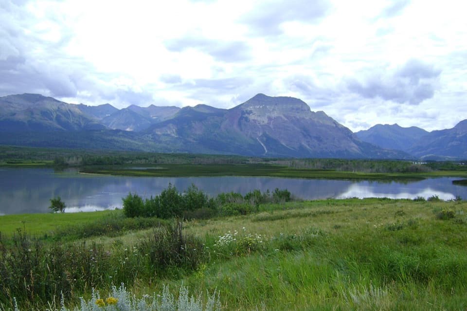
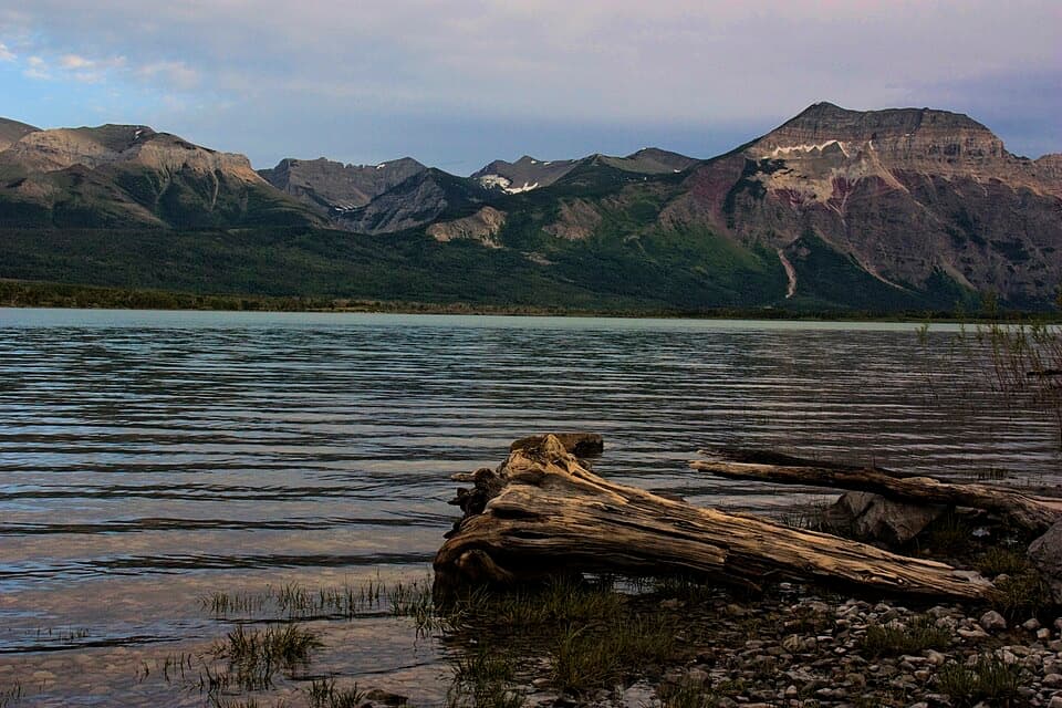
A quiet roadside picnicMaskinonge is a public picnic area beside the wetland near Waterton's entrance.

Maskinonge is a public picnic area beside the wetland near Waterton's entrance. It's a good place for an outdoor meal or a breather away from the park's headline stops; I'd plan a modest pause here rather than a full outing. From the entrance road, go past the gate, turn right at the T, cross the bridge, then take the first right to the camp-kitchen parking area.

What's hereThe picnic area has one shelter, 13 tables, two stoves, two fire boxes and dry toilets.

The picnic area has one shelter, 13 tables, two stoves, two fire boxes and dry toilets. Bring your own meal; no food service is listed here. Fires are allowed only in designated spots, and firewood isn't supplied. The site-specific list doesn't identify a drinking-water tap, so bring water or refill at the village fire hall, the potable-water point Parks Canada lists.

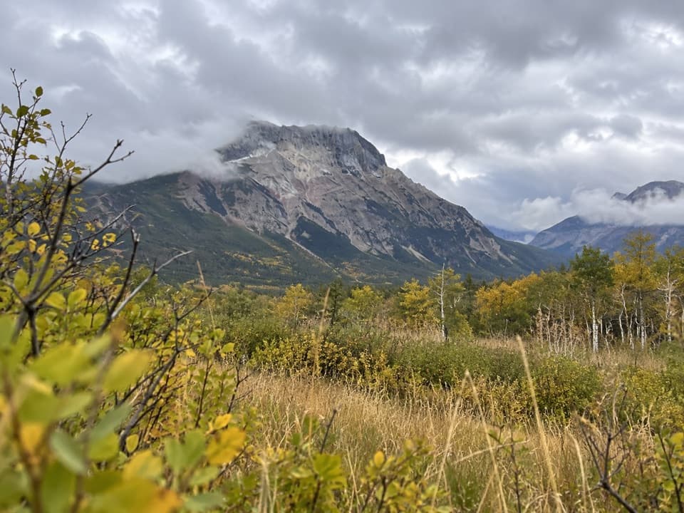
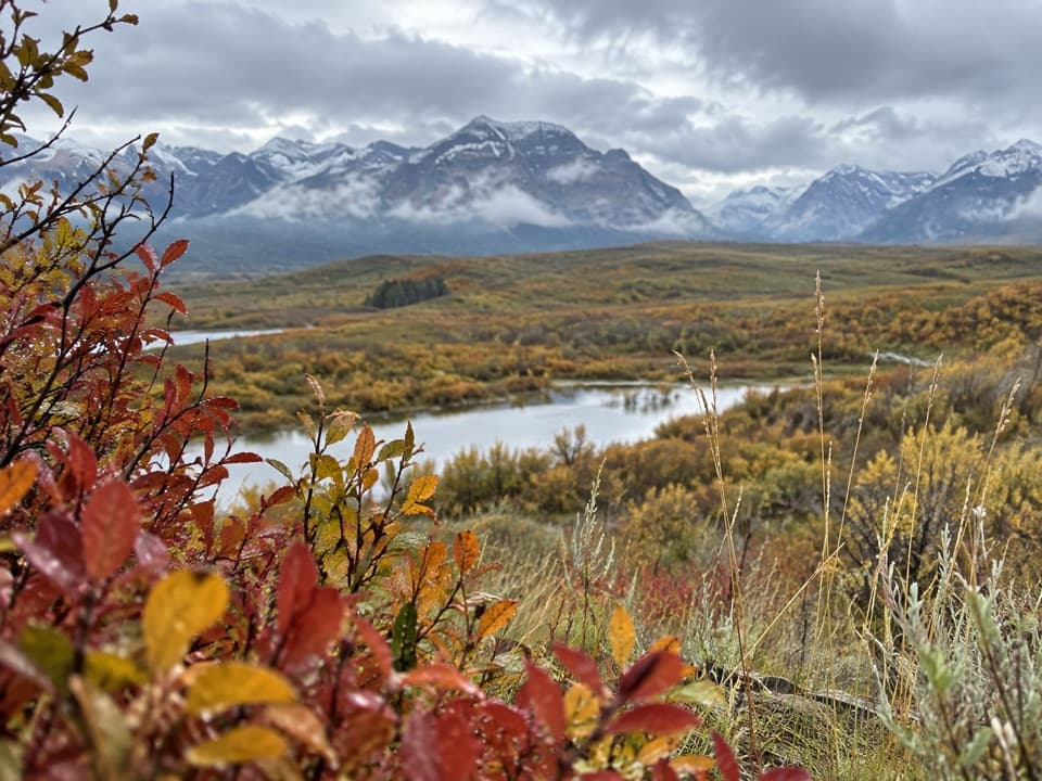
The wider wetlandThe Maskinonge is a wetland area with cold, clear water, abundant plant life and wildlife.

The Maskinonge is a wetland area with cold, clear water, abundant plant life and wildlife. Local visitor information also describes a walking loop and calm-water kayaking in the area; those are activities across the wider wetland, not services at the picnic shelter. In winter, access to day-use areas may not be maintained, and heavy snow can make some locations inaccessible.

A Blackfoot placeSiksikaitsitapi (Blackfoot people) call the Maskinonge area Aohkiiyaahkoyinnimaani, meaning…

Siksikaitsitapi (Blackfoot people) call the Maskinonge area Aohkiiyaahkoyinnimaani, meaning “water pipe.” Parks Canada says Siksikaitsitapi trace the origins of the sacred Beaver Bundle to this place; the Bundle is central to Blackfoot cultural and spiritual practices. Archaeologists have found Indigenous campsites throughout the surrounding area. A Blackfoot Confederacy Marker is also in this sacred landscape, though its exact position relative to the picnic area isn't given.

Birds around the marshAround the wider wetland, look and listen for sandhill cranes and watch the water for osprey…

Around the wider wetland, look and listen for sandhill cranes and watch the water for osprey fishing. These are reported as characteristic visitors to the area, not guaranteed sightings.

Wildlife

Wildlife in Waterton Lakes

All Waterton Lakes wildlife maps

Sighting maps show where each species has been reported across Waterton Lakes. Wildlife moves, so no sighting is guaranteed.

Keep exploring

Near Maskinonge Day Use Area

See it all on the map

Trails nearby

More stops nearby

Parkwolf’s Waterton Lakes ranking

Top sights in Waterton Lakes

All 70 places
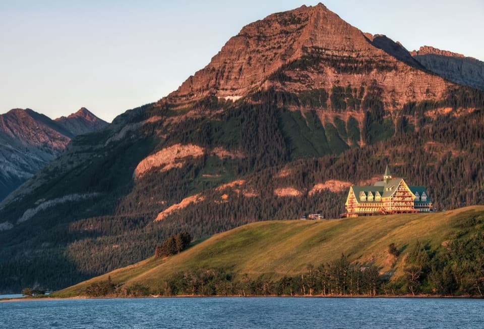
  1. 1Prince of Wales Hotel National Historic SiteSight
  2. 2Red Rock CanyonSight
  3. 3Cameron FallsSight
  4. 4Cameron LakeSight
  5. 5Bear’s HumpSight
  6. 6Bison PaddockSight

Take Parkwolf to Waterton Lakes.

The audio tour guide for the drive, plus offline maps, trails, and wildlife heatmaps for when the signal drops.

4.7 from 8,600+ ratings

Download Parkwolf on the App StoreGet Parkwolf on Google Play