Parking
Parking is on the left when driving toward the Canada–US border. The trailhead is across the highway, about 250 metres along Chief Mountain Highway.

Waterton Lakes National Park, AB
A long out-and-back through open country to Crypt Landing.
Overview
Map & elevation
Plan your hike

The highest, rockiest slopes around here are a summer buffet for grizzly bears.
Waterton Lakes Tour Guide
Parkwolf is a GPS audio tour guide for Waterton Lakes National Park. As you drive, it chimes in with what’s ahead: hidden gems, upcoming stops, history, geology, and wildlife, right through your car’s speakers.
See the Waterton Lakes audio tourRecorded for this trailhead
Wishbone Trailhead“Up ahead is the Wishbone trailhead, for a long walk through aspen woods and prairie to Crypt Landing. Allow about eight hours for roughly twenty-eight kilometres return; I’d keep this for a planned hiking day.”
Plays as you drive up to this trailhead in the Parkwolf Waterton Lakes Tour Guide.
More stories near here in the app
“Fantastic app with many points of information… It’s great to just turn on while you’re driving and it gives you an audio tour of the national Park. We love it!!!!”


Trail guide
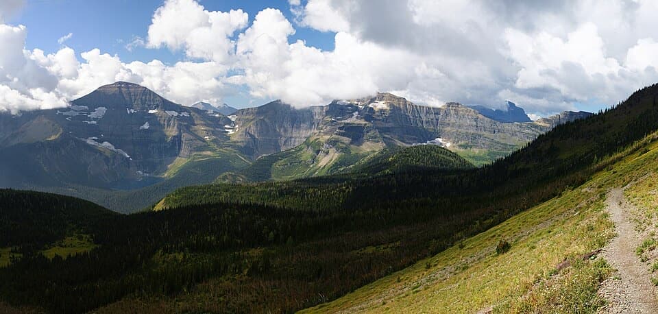
Wishbone Trail is a long out-and-back from the roadside access on Chief Mountain Highway to Crypt Landing. The trail-specific distance listing gives 14 km one way; a broader route entry lists 26.2 km return. The connected mapped corridor is about 13.1 km one way, so plan for the longer figure: roughly 28 km (17.4 mi) return. Allow about eight hours. At Vimy Junction, stay right for Wishbone; the left fork climbs Vimy and continues toward Vimy Peak.
The broad path passes through aspen and birch, crosses streams, then opens across prairie before becoming steeper and more wooded near the junction. If the full distance is too much, Vimy Junction is a documented 13.4 km return option; turn around there rather than taking the Vimy branch.
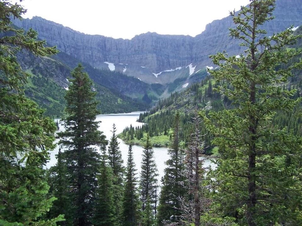
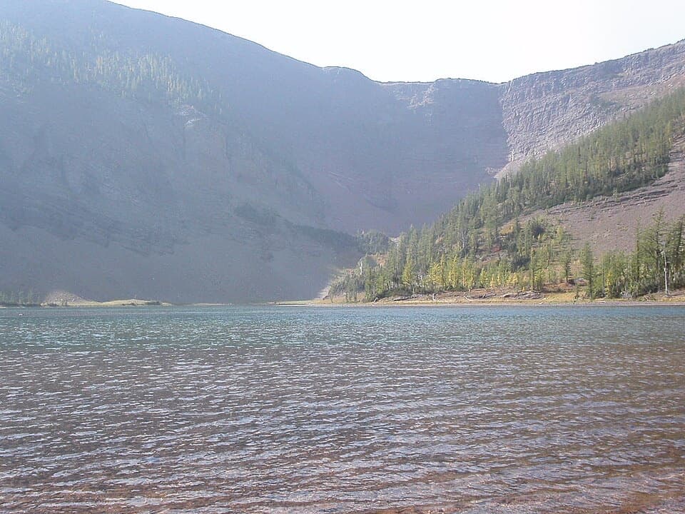
The full Wishbone route continues around Middle Waterton Lake to Crypt Landing, the boat landing and trailhead for Crypt Lake. This is the distant shoreline end of the hike, not the summit route up Vimy Peak. The mapping follows the Wishbone corridor to the landing and returns along the same line.
Several streams cross the route. Sofa Creek may require a ford depending on the season, so water levels can change how easy the crossing is. Parking is on the left when driving toward the Canada–US border; the trailhead is across the highway, about 250 metres along the road. Dogs are allowed on leash and under control.
Wildlife
 83 sightingsBisonMost seen around 7 PMSighting map
 563 sightingsBlack BearMost seen around 6 PMSighting map
 146 sightingsElkMost seen around 7 PMSighting map
 113 sightingsBighorn SheepMost seen around 7 PMSighting map
 55 sightingsBald EagleMost seen around 9 AMSighting map
 53 sightingsTrumpeter SwanMost seen around 6 PMSighting map
Sighting maps show where each species has been reported across Waterton Lakes. Wildlife moves, so no sighting is guaranteed.
Keep exploring
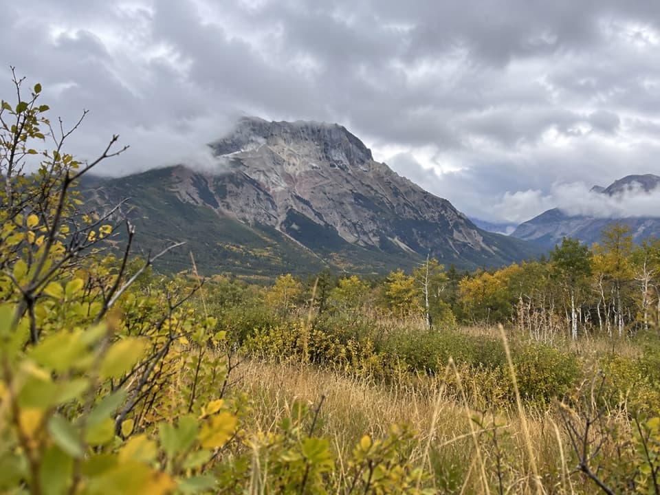 ChallengingVimy Trail24.3 km · 8 hr · At the trailheadA long prairie approach ends in a steep climb below Vimy Peak.
 EasyKootenai Brown Trail13.8 km · 3.5 hr · 1.7 km awayA smooth paved path links the park gate and townsite.
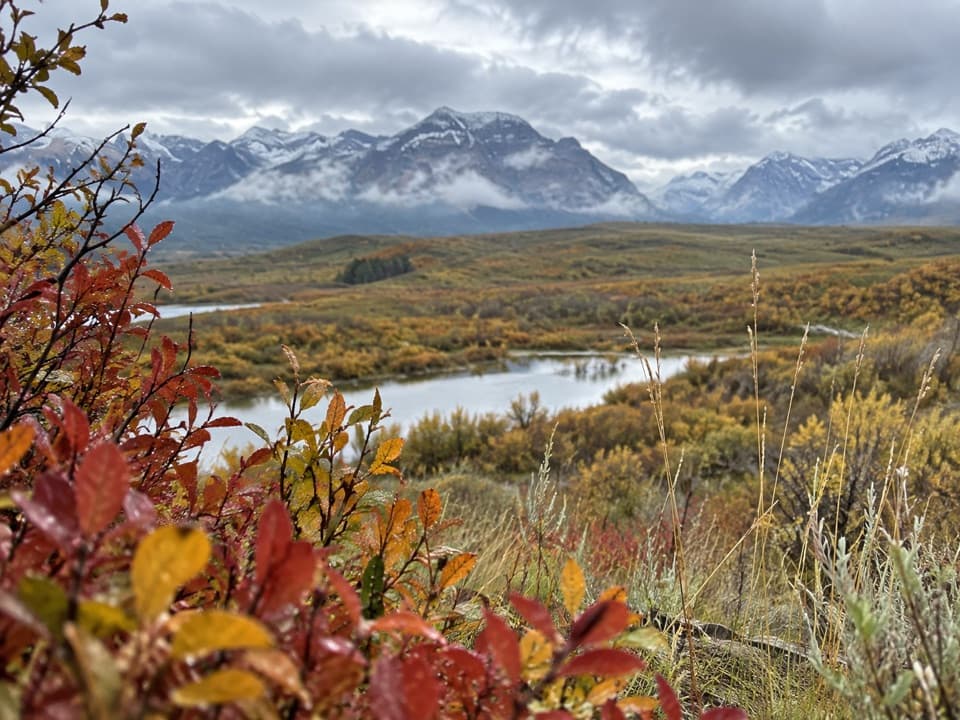 EasyBison Paddock Overlook Trail0.6 km · 15 min · 3.2 km awayA quick paved walk to wide valley views, with bison often below.
 ModerateBellevue Prairie Trail7.6 km · 2.5 hr · 5.1 km awaySpring wildflowers brighten the open prairie below Bellevue Hill.
 EasyLinnet Lake Loop1 km · 20 min · 7.6 km awayA paved 20-minute loop with lakeside views and interpretive stops.
 ModerateBear’s Hump Trail2.9 km · 1 hr · 8 km awayThe short, steep climb to Waterton’s broad town-and-lake panorama.
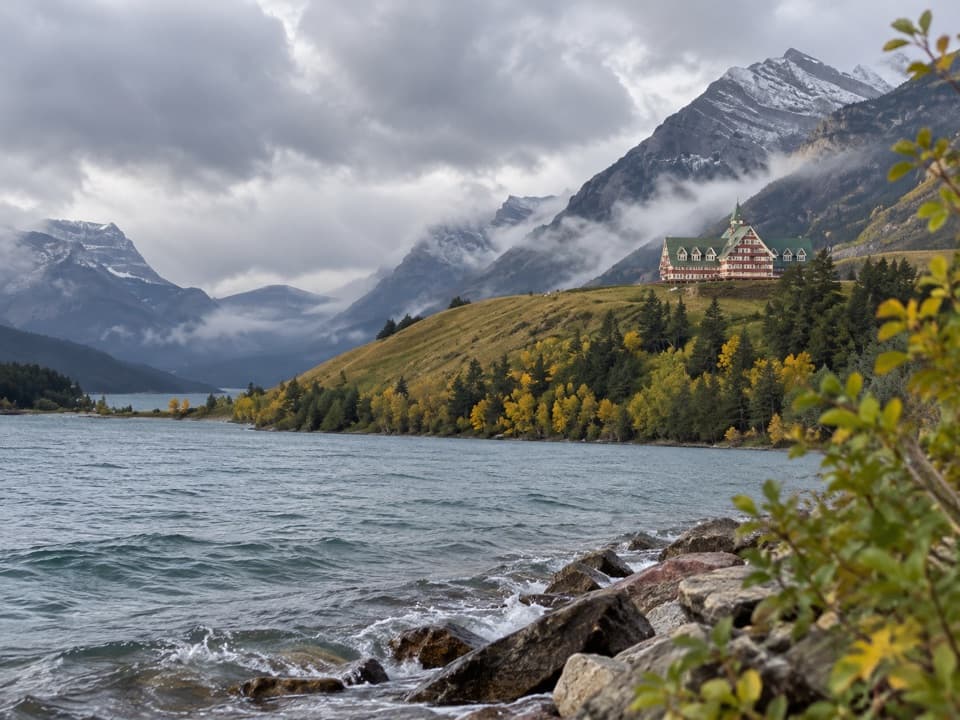 EasyPrince of Wales Loop2 km · 45 min · 8.1 km awayA short circuit below the historic hotel, with two lakes in view.
 ModerateCrandell Lake-Townsite Trail12.4 km · 4 hr · 8.8 km awayA steady climb from town through renewing forest to a lake.
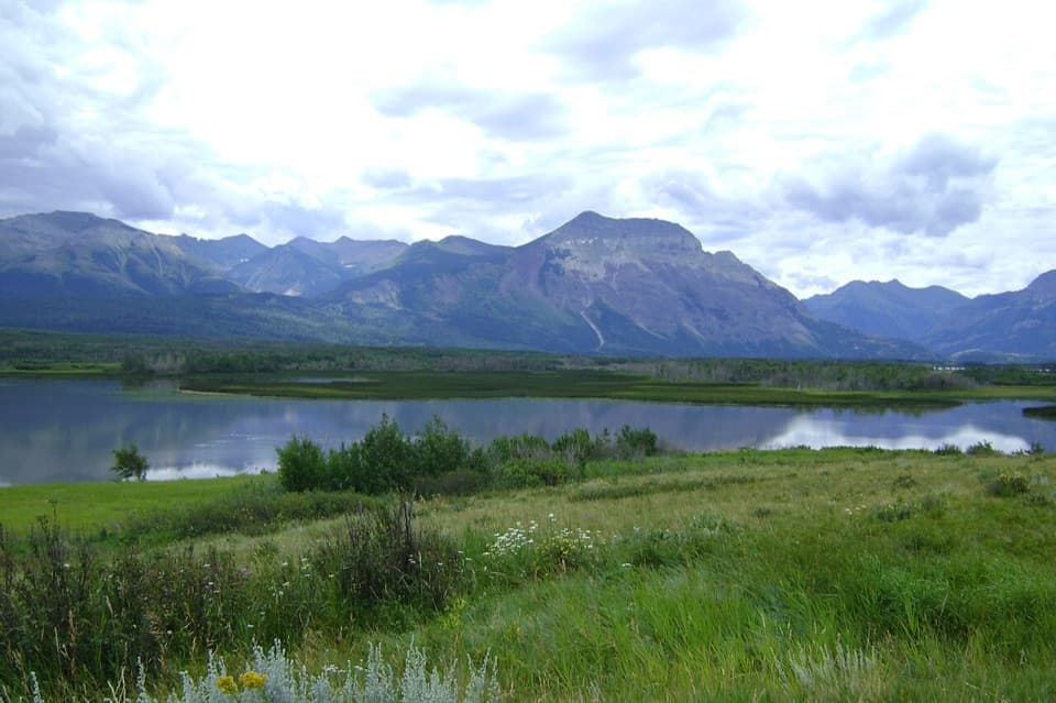 Scenic pullout · 0.7 km awayMaskinonge OverlookA quiet roadside view over wetland, lake and the Waterton peaks.
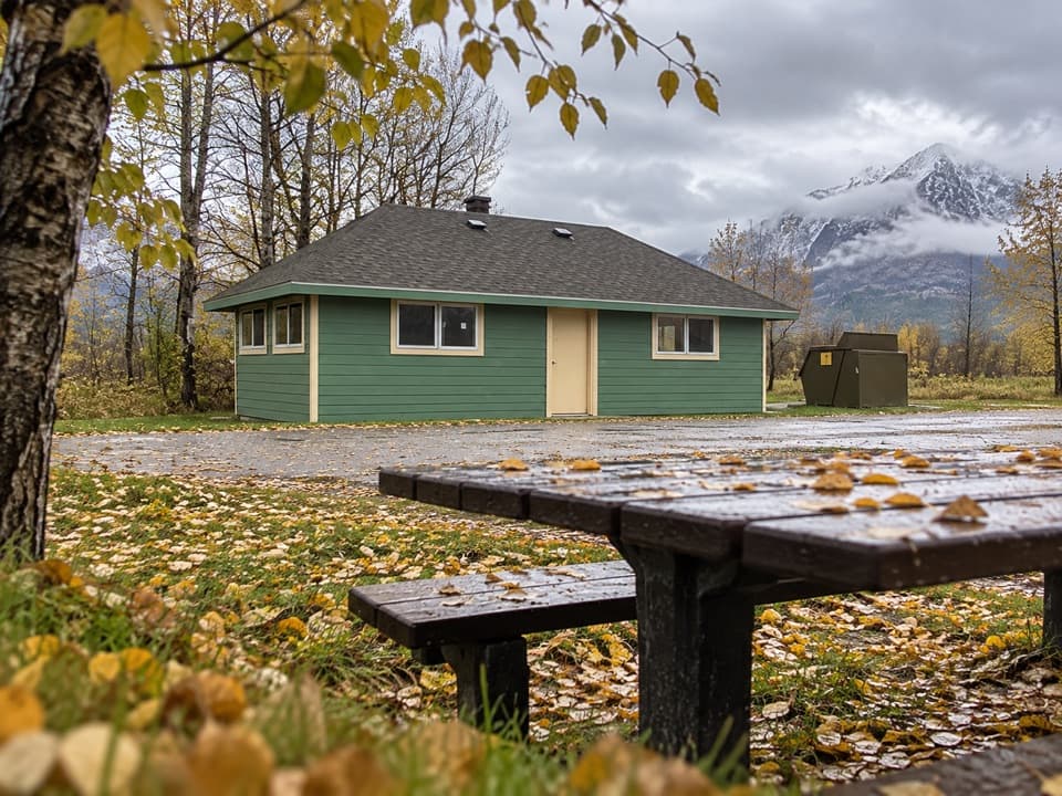 Picnic area · 1.1 km awayMaskinonge Day Use AreaA quiet picnic stop in a sacred Blackfoot landscape.
 Entrance station · 1.7 km awayWaterton Lakes Entrance GateThe quick threshold between prairie and the lakeside road.
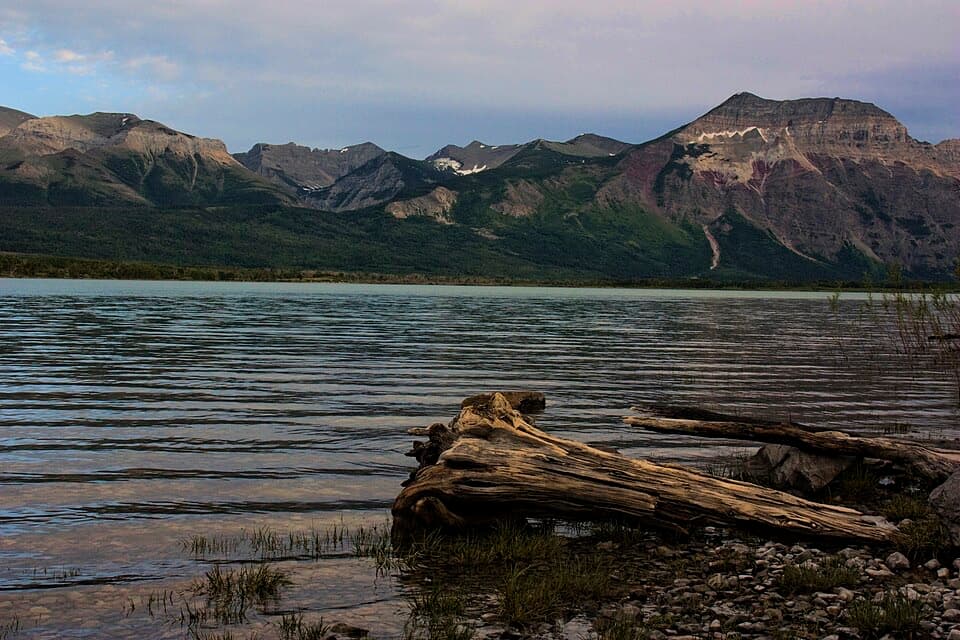 Picnic area · 1.9 km awayKnight’s Lake Day Use AreaA sheltered picnic beside mountain-framed water.
 Sight · 3.6 km awayBison PaddockA seasonal bison drive and valley overlook; sightings aren't assured.
 Picnic area · 3.7 km awayHay Barn Day Use AreaA shaded picnic clearing beside the Waterton River.
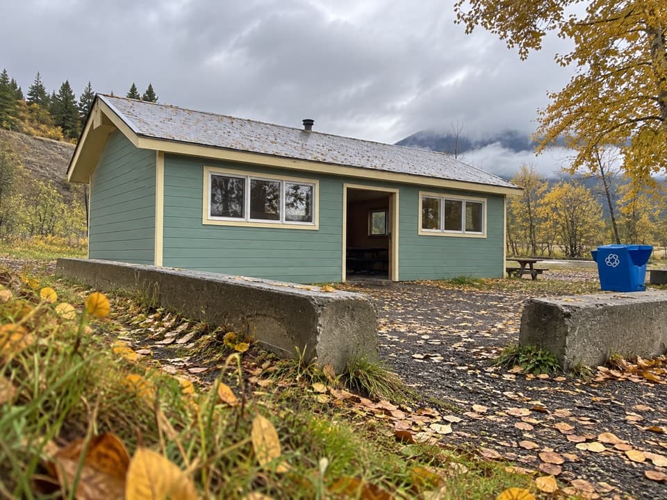 Picnic area · 5.3 km awayPass Creek Day Use AreaA creekside picnic with a shelter and six fire pits.
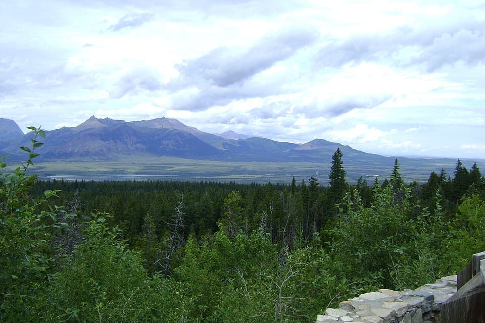 Scenic pullout · 5.4 km awayChief Mountain LookoutThree lakes, two valleys and prairie from one roadside stop.
Parkwolf’s Waterton Lakes ranking

The audio tour guide for the drive, plus offline maps, trails, and wildlife heatmaps for when the signal drops.