Parking
Use the roadside pull-off about 250 m along Chief Mountain Highway, on the left when driving toward the U.S. border. The trailhead is across the road; cross carefully and watch traffic.
Waterton Lakes National Park, AB
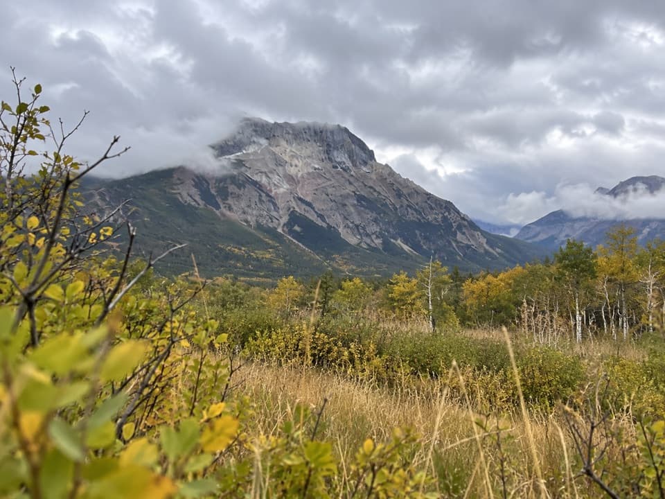
A long prairie approach ends in a steep climb below Vimy Peak.
Overview
Map & elevation
Plan your hike

The highest, rockiest slopes around here are a summer buffet for grizzly bears.
Waterton Lakes Tour Guide
Parkwolf is a GPS audio tour guide for Waterton Lakes National Park. As you drive, it chimes in with what’s ahead: hidden gems, upcoming stops, history, geology, and wildlife, right through your car’s speakers.
See the Waterton Lakes audio tourRecorded for this trailhead
Wishbone Trailhead“Up ahead is the Wishbone trailhead, for a long walk through aspen woods and prairie to Crypt Landing. Allow about eight hours for roughly twenty-eight kilometres return; I’d keep this for a planned hiking day.”
Plays as you drive up to this trailhead in the Parkwolf Waterton Lakes Tour Guide.
More stories near here in the app
“Fantastic app with many points of information… It’s great to just turn on while you’re driving and it gives you an audio tour of the national Park. We love it!!!!”


Trail guide
Vimy Trail is the steep branch at the Vimy–Wishbone junction, reached by a long walk from Chief Mountain Highway. The established trail out and back is about 24.2 km (15.1 mi): roughly 6.6 km each way on the Wishbone approach, then 5.5 km each way on the Vimy branch. Expect a difficult, full-day outing; allow about eight hours. That is a conservative planning allowance for this route, since the commonly listed eight-hour Wishbone/Vimy trip includes the longer summit outing and no separate time is published for turning around at the established trail’s end. The Vimy branch climbs about 830 m from the junction. The 26.2 km figure often attached to the longer outing is about 2 km more return and reaches Vimy Peak itself.
The trail starts across Chief Mountain Highway from a small roadside pull-off. The broad approach winds through aspen and birch, crosses streams, and opens onto prairie before entering forest again near the junction. It is mostly gentle underfoot, but the distance accumulates before the steep climb even begins. At the fork, take the left branch for Vimy; the right-hand continuation heads toward Wishbone Landing and is not part of this route. On the approach, Vimy’s pale summit rises above the meadow; keeping some aspen and grass in the foreground gives a sense of its scale.
The Vimy branch gains height through montane and subalpine forest of fir and larch. The canopy closes over some stretches, with occasional openings back toward Waterton. The climb passes Lion’s Head, a prominent rock outcrop, then bends into a drainage with a brook and a small waterfall. Higher up, trees thin and Vimy Peak appears above the basin. The trail becomes less distinct as it reaches open alpine ground, so follow the established tread carefully rather than aiming straight for the summit.
The upper basin opens views toward Vimy Ridge, Sofa Mountain, Crypt Lake and the surrounding peaks. This route ends where the established trail gives way to the peak approach. The final roughly 1 km each way to Vimy Peak is a separate off-trail scramble on steep, loose rock with short cliff bands and route-finding. It is not a routine continuation of the hike; the saved distance stops before it. The commonly quoted 26.2 km return outing includes that longer peak objective.
The mountain was once called Goat Mountain. It was renamed Vimy Peak in 1917, the year Canadian troops captured Vimy Ridge in France during the First World War. The peak’s name marks that event; the trail itself stays in Waterton’s forest, basin and mountain terrain.
Carry enough food, water, warm layers and a first-aid kit for a long, remote hike, and tell someone your plan and return time. The route crosses streams and rises into exposed mountain country where weather can change quickly. Waterton is bear country, so carry bear spray and travel alertly. Dogs may accompany hikers if kept on leash and under control throughout the trail.
Wildlife
 83 sightingsBisonMost seen around 7 PMSighting map
 563 sightingsBlack BearMost seen around 6 PMSighting map
 146 sightingsElkMost seen around 7 PMSighting map
 113 sightingsBighorn SheepMost seen around 7 PMSighting map
 55 sightingsBald EagleMost seen around 9 AMSighting map
 53 sightingsTrumpeter SwanMost seen around 6 PMSighting map
Sighting maps show where each species has been reported across Waterton Lakes. Wildlife moves, so no sighting is guaranteed.
Keep exploring
 ChallengingWishbone Trail28 km · 8 hr · At the trailheadA long out-and-back through open country to Crypt Landing.
 EasyKootenai Brown Trail13.8 km · 3.5 hr · 1.7 km awayA smooth paved path links the park gate and townsite.
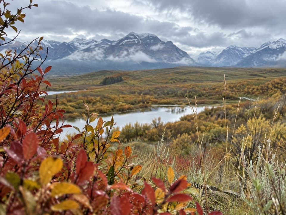 EasyBison Paddock Overlook Trail0.6 km · 15 min · 3.2 km awayA quick paved walk to wide valley views, with bison often below.
 ModerateBellevue Prairie Trail7.6 km · 2.5 hr · 5.1 km awaySpring wildflowers brighten the open prairie below Bellevue Hill.
 EasyLinnet Lake Loop1 km · 20 min · 7.6 km awayA paved 20-minute loop with lakeside views and interpretive stops.
 ModerateBear’s Hump Trail2.9 km · 1 hr · 8 km awayThe short, steep climb to Waterton’s broad town-and-lake panorama.
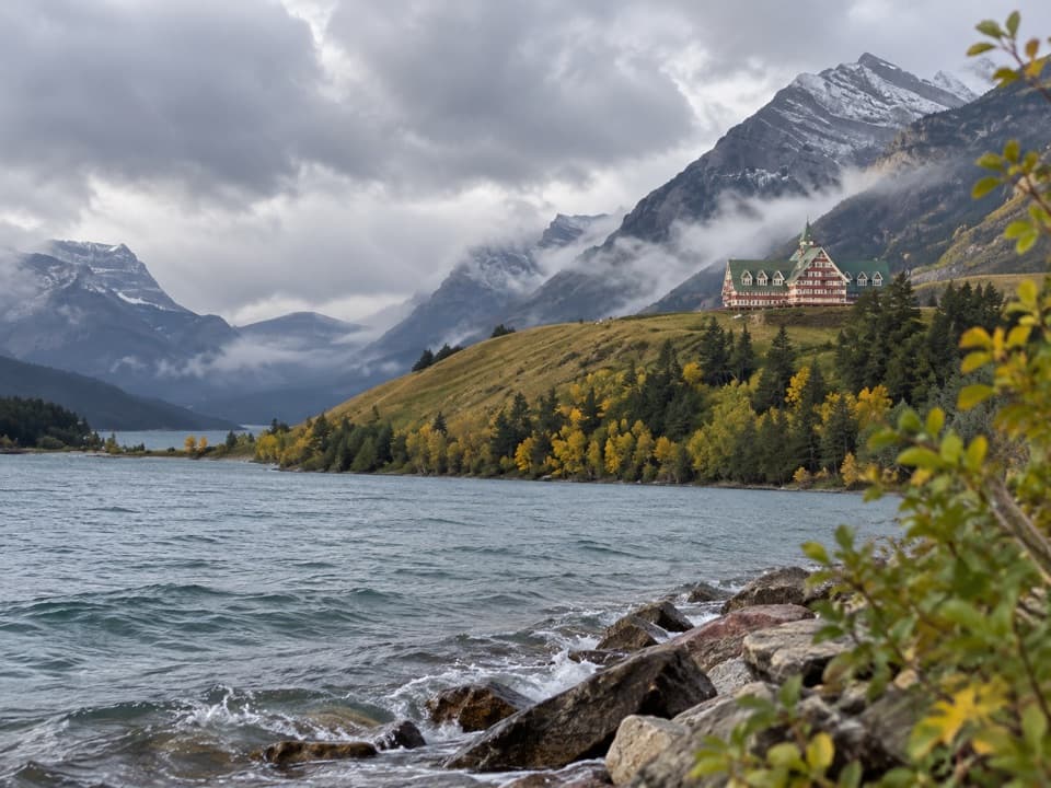 EasyPrince of Wales Loop2 km · 45 min · 8.1 km awayA short circuit below the historic hotel, with two lakes in view.
 ModerateCrandell Lake-Townsite Trail12.4 km · 4 hr · 8.8 km awayA steady climb from town through renewing forest to a lake.
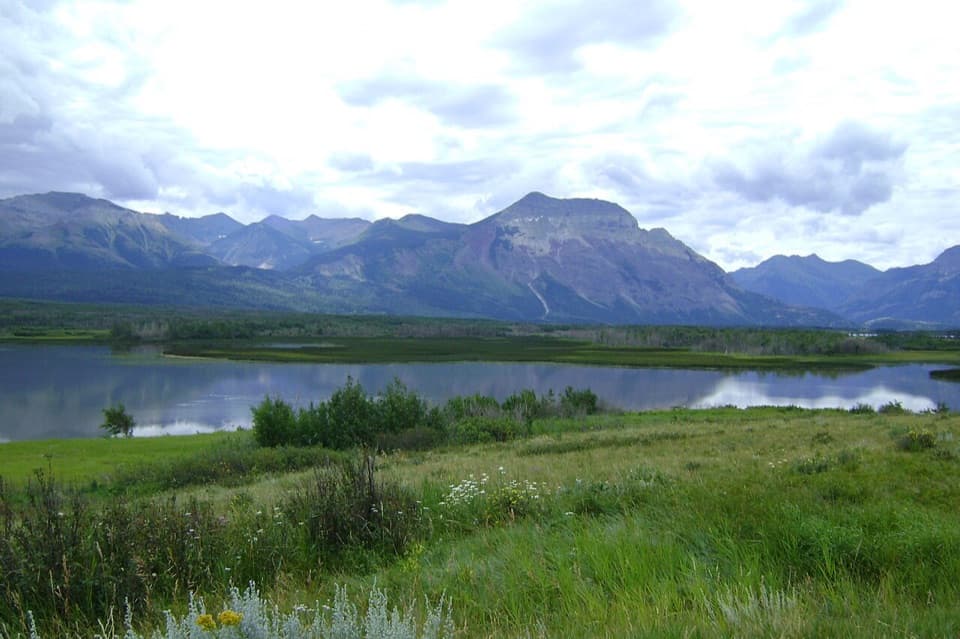 Scenic pullout · 0.7 km awayMaskinonge OverlookA quiet roadside view over wetland, lake and the Waterton peaks.
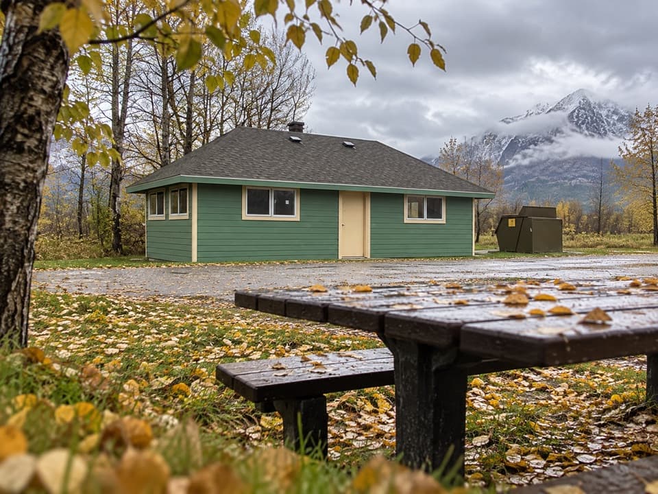 Picnic area · 1.1 km awayMaskinonge Day Use AreaA quiet picnic stop in a sacred Blackfoot landscape.
 Entrance station · 1.7 km awayWaterton Lakes Entrance GateThe quick threshold between prairie and the lakeside road.
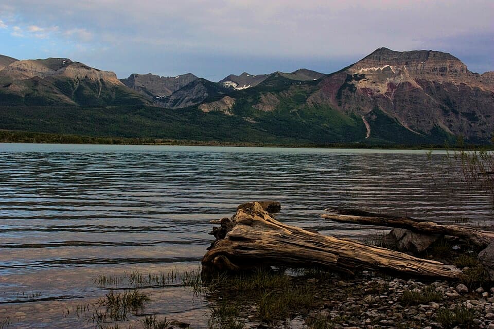 Picnic area · 1.9 km awayKnight’s Lake Day Use AreaA sheltered picnic beside mountain-framed water.
 Sight · 3.6 km awayBison PaddockA seasonal bison drive and valley overlook; sightings aren't assured.
 Picnic area · 3.7 km awayHay Barn Day Use AreaA shaded picnic clearing beside the Waterton River.
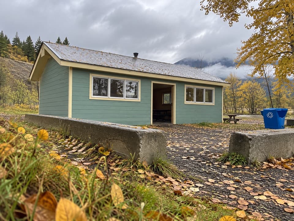 Picnic area · 5.3 km awayPass Creek Day Use AreaA creekside picnic with a shelter and six fire pits.
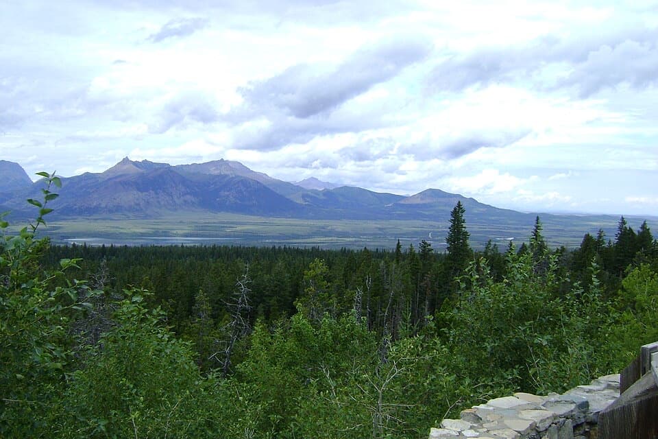 Scenic pullout · 5.4 km awayChief Mountain LookoutThree lakes, two valleys and prairie from one roadside stop.
Parkwolf’s Waterton Lakes ranking

The audio tour guide for the drive, plus offline maps, trails, and wildlife heatmaps for when the signal drops.




