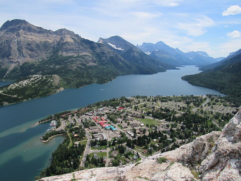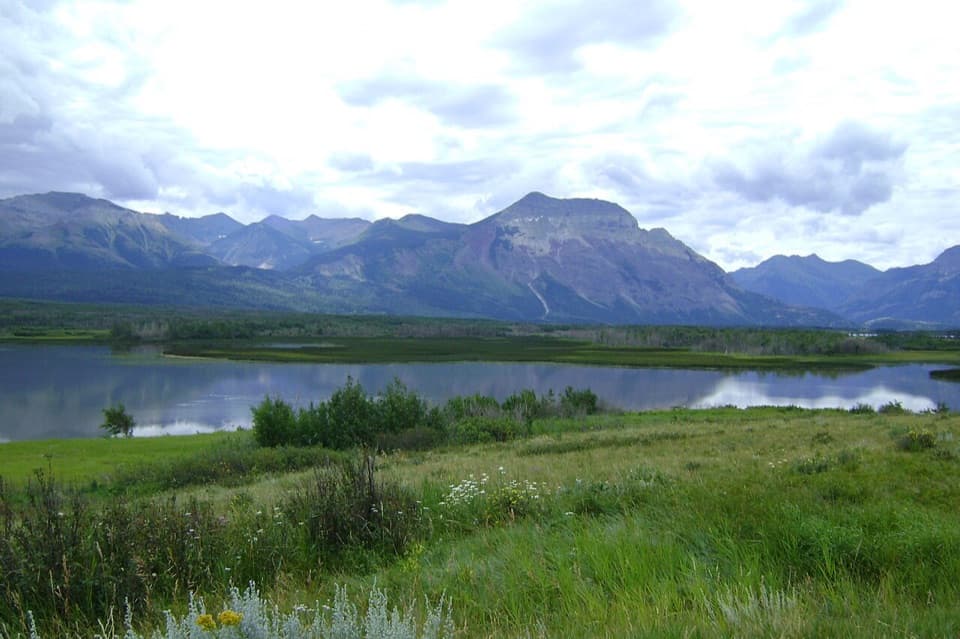
Maskinonge Overlook in Waterton Lakes National Park

Scenic pullout · Waterton Lakes National Park

Maskinonge Overlook

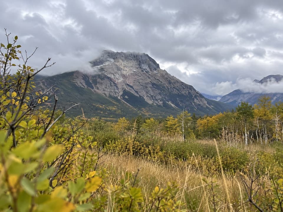
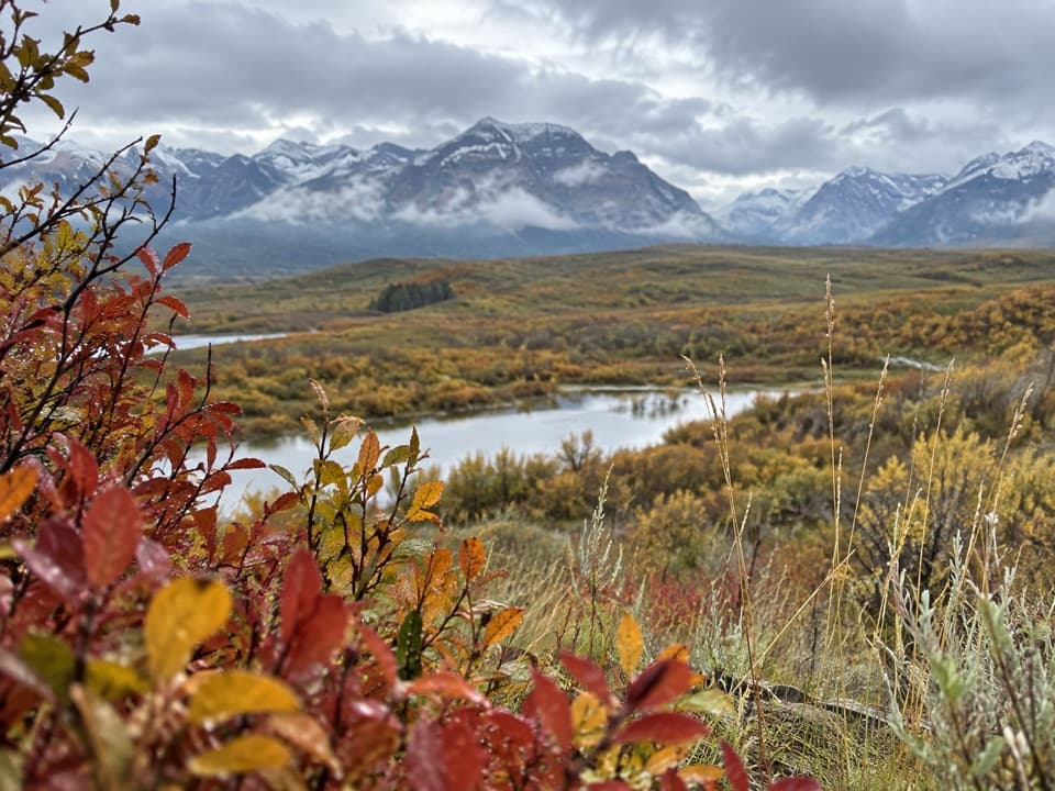
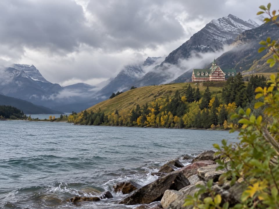
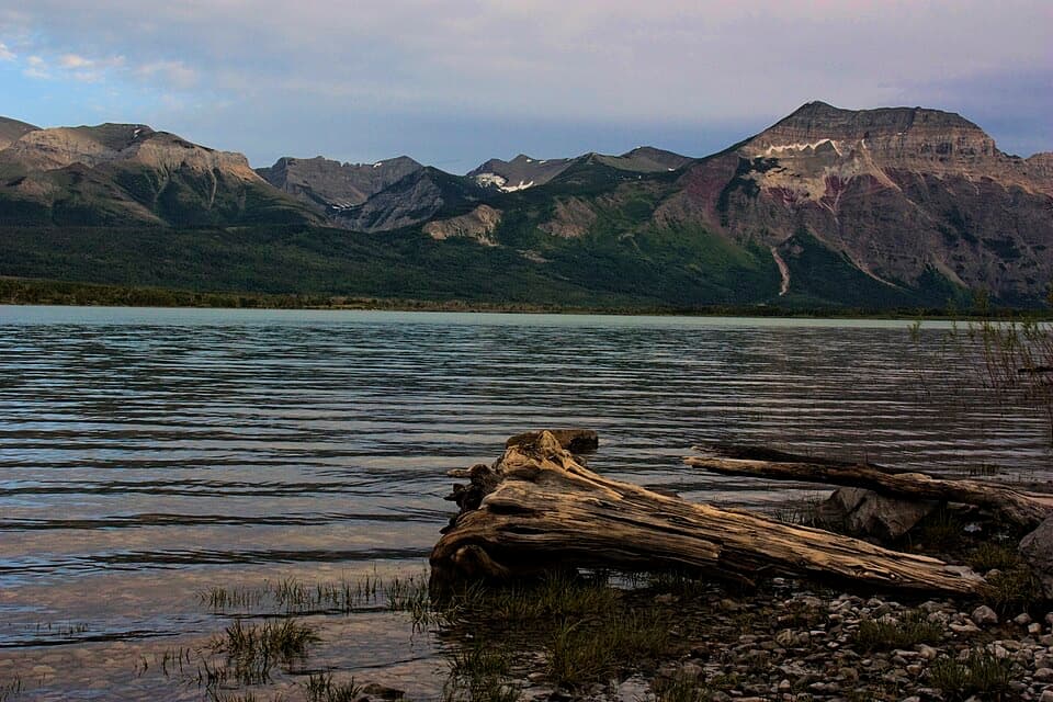
A quiet roadside view over wetland, lake and the Waterton peaks.

Photo: Wikimedia Commons
Type
Scenic pullout
Nearest trail
0.7 km
Audio stories
9 nearby
  • Pullout
  • Scenic viewpoint
  • Parking

Hear the audio tour

Maskinonge Overlook

Overview

About Maskinonge Overlook

Why stop

  • A broad wetland-and-mountain panorama right off Highway 6.

Map

Where it is

Loading the Waterton Lakes map
Full map
Scenic pulloutMaskinonge Overlook49.11041, -113.83608
Keep this map with you offline in the Parkwolf app

Plan your stop

Before you go

7 active Waterton Lakes alerts

  • ClosureBelly River Campground closedBelly River Campground is closed to all traffic and travel because a carcass is in the area. - Violators may be charged under the Canada National Parks Act, with a maximum penalty of $25,000.Official details
  • ClosureBlakiston Fan closed to protect rutting elkThe Blakiston Fan area is closed to traffic and travel to prevent disturbance of elk rutting there.Official details

See all 7 alerts
A park ranger sits on a dash-mounted phone, talking, as Parkwolf’s Tour Guide plays “Army Cutworm Moths: A Grizzly Bear Buffet” on Grand Loop Road below Dunraven Pass in Yellowstone
Parkwolf Tour GuideThe highest, rockiest slopes around here are a summer buffet for grizzly bears.

Waterton Lakes Tour Guide

Your drive to Maskinonge Overlook, narrated.

Parkwolf is a GPS audio tour guide for Waterton Lakes National Park. As you drive, it chimes in with what’s ahead: hidden gems, upcoming stops, history, geology, and wildlife, right through your car’s speakers.

See the Waterton Lakes audio tour

Recorded for this place

Maskinonge Overlook
0:00 / 0:30
“You’re nearing Maskinonge Overlook, a gravel pullout above the wetland with a broad view toward the mountains. Stop for five or ten minutes if you want the landscape without a hike.”

Plays as you drive up to Maskinonge Overlook in the Parkwolf Waterton Lakes Tour Guide.

More stories near here in the app

  • Maskinonge Day Use Area
  • Wishbone Trailhead
  • Knight’s Lake Day Use Area
  • Pelicans Fishing Together
  • 51 audio storiesacross Waterton Lakes’s roads, triggered by GPS as you drive
  • Wildlife heatmapsfor Bison, Black Bear, Elk, and 13 more
  • Works offlinemaps, 47 trails, 70 places, and audio download before you lose signal
  • CarPlay readysimple controls built for the drive
★★★★★
“Fantastic app with many points of information… It’s great to just turn on while you’re driving and it gives you an audio tour of the national Park. We love it!!!!”
JMJamesApp Store review
Download Parkwolf on the App StoreGet Parkwolf on Google Play

4.7 from 8,600+ ratings

Guide

More about Maskinonge Overlook

A quick view over MaskinongeMaskinonge Overlook is a roadside viewpoint on a small rise above the wetland near Waterton’s…

Maskinonge Overlook is a roadside viewpoint on a small rise above the wetland near Waterton’s east entrance. From the gravel pullout, you look across the water and valley toward the mountain slopes. It’s a worthwhile pause on Highway 6 if you want a broad landscape without planning a hike; the appeal is the open view, not a developed attraction.

Take the second turnFrom the park gate, head east on Highway 6, cross the bridge, and take the second right for the…

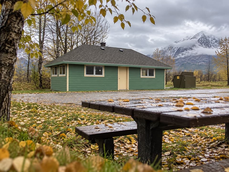
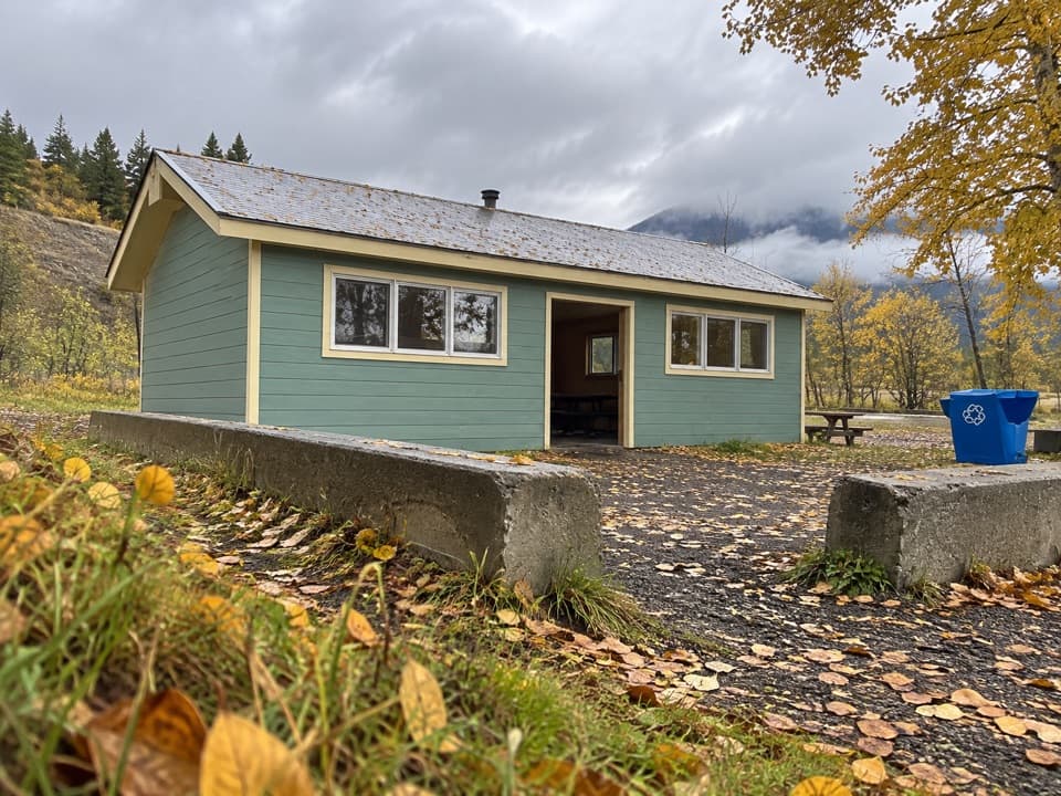
From the park gate, head east on Highway 6, cross the bridge, and take the second right for the overlook. The first right leads to the separate Maskinonge day-use and picnic area. Use that stop if you need a picnic table or dry toilet; those facilities belong to the day-use area.

Look over the wetlandThe wider Maskinonge is mostly wetland, with cold, clear water, colorful plant life, and…

The wider Maskinonge is mostly wetland, with cold, clear water, colorful plant life, and wildlife. Give the water’s edge a slow look if you enjoy birdwatching; birds are part of the draw, though sightings vary. The view opens across the Waterton valley to the surrounding peaks.

A culturally important landscapeSiksikaitsitapi (Blackfoot) tradition traces the origin of the sacred Beaver Bundle to the…

Siksikaitsitapi (Blackfoot) tradition traces the origin of the sacred Beaver Bundle to the broader Maskinonge landscape. Aohkiiyaahkoyinnimaani, translated as “water pipe,” is the Siksikaitsitapi name for this area. That cultural connection belongs to the wider wetland landscape; it isn’t a story about a marker whose exact location is unclear.

Catch a reflectionThe wetland and mountain skyline make the view.

The wetland and mountain skyline make the view. From the pullout, keep some water in the foreground and the peaks beyond it; a calm morning can bring out reflections, but they’re a bonus rather than a sure thing.

Wildlife

Wildlife in Waterton Lakes

All Waterton Lakes wildlife maps

Sighting maps show where each species has been reported across Waterton Lakes. Wildlife moves, so no sighting is guaranteed.

Keep exploring

Near Maskinonge Overlook

See it all on the map

Trails nearby

More stops nearby

Parkwolf’s Waterton Lakes ranking

Top sights in Waterton Lakes

All 70 places
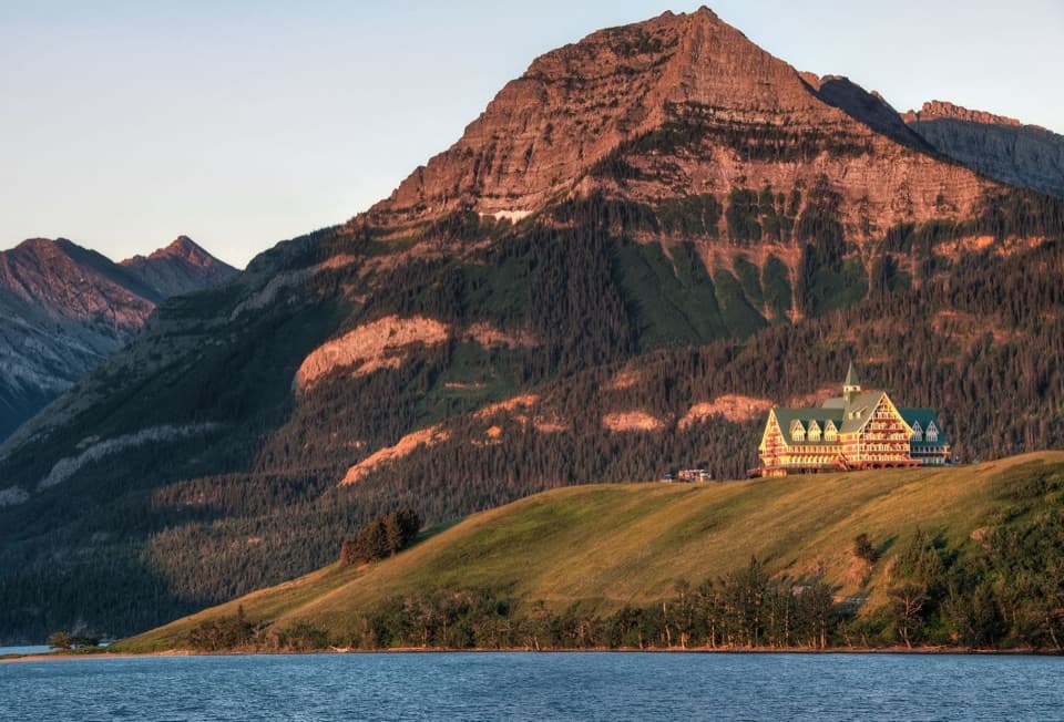
  1. 1Prince of Wales Hotel National Historic SiteSight
  2. 2Red Rock CanyonSight
  3. 3Cameron FallsSight
  4. 4Cameron LakeSight
  5. 5Bear’s HumpSight
  6. 6Bison PaddockSight

Take Parkwolf to Waterton Lakes.

The audio tour guide for the drive, plus offline maps, trails, and wildlife heatmaps for when the signal drops.

4.7 from 8,600+ ratings

Download Parkwolf on the App StoreGet Parkwolf on Google Play