Parking
Use the West Lāhainā Pali Trailhead parking area at Manawaipueo Gulch on Honoapiʻilani Highway, about a quarter-mile north of the Pali Tunnel. The entrance can be easy to miss, so save the access point before driving.

West Maui Scenic Drive, HI
Ocean views reward the steep climb to turbine-lined Kealaloloa Ridge.
Overview
Map & elevation
Plan your hike

The highest, rockiest slopes around here are a summer buffet for grizzly bears.
West Maui Scenic Drive Tour Guide
Parkwolf is a GPS audio tour guide for West Maui Scenic Drive. As you drive, it chimes in with what’s ahead: hidden gems, upcoming stops, history, geology, and wildlife, right through your car’s speakers.
See the West Maui Scenic Drive audio tourRecorded for this trailhead
West Lāhainā Pali: Coast or Ridge“You’re nearing the West Lāhainā Pali trailhead, with a coastal path leading toward views of Kahoʻolawe and Lānaʻi.”
Plays as you drive up to this trailhead in the Parkwolf West Maui Scenic Drive Tour Guide.
More stories near here in the app
“Fantastic app with many points of information… It’s great to just turn on while you’re driving and it gives you an audio tour of the national Park. We love it!!!!”


Trail guide
West Lāhainā Pali Trail is a 4.6-mile out-and-back from the Ukumehame trailhead to Kealaloloa Ridge, where the west and east halves meet near the Kaheawa wind turbines. It is a steep, rocky hike rather than a short viewpoint walk: expect about 1,500 feet of climbing and roughly 3 to 4 hours round trip. The open ocean views make it worthwhile if you want a demanding, exposed half-day. Turn around at the ridge junction; the Kaheawa Pastures access road beyond it is closed to hikers.
Park at the West Lāhainā Pali Trailhead at Manawaipueo Gulch, roughly a quarter-mile north of the Pali Tunnel on Honoapiʻilani Highway. The route begins under kiawe, reaches the old highway, then branches back onto the footpath; follow the trail rather than continuing along the old road. The shade ends early. If a full climb is too much, the first half-mile stays near the coast and makes a shorter out-and-back before the sustained ascent. Dogs are allowed on leash. No water source is identified on this west-side stretch, so carry what you need.
After the old-road junction, the trail gains roughly 1,175 feet over about 1.5 miles through a series of dry gulches. The track is rough and rocky, with loose stone that makes the descent slower and less forgiving than a smooth dirt path. The grade eases briefly near Makahuna Gulch, then steepens again for three switchbacks to the ridge. An early start helps avoid the strongest heat on this unshaded slope.
The lower trail stays close to the coast before bending inland and uphill; Kahoʻolawe and Lānaʻi are visible offshore, and the turbines first appear in the distance around the one-mile mark. Humpback whales pass offshore in winter, generally mid-December through mid-April, with the best chance in January through March. For a photo that feels like this hike, keep some of the rocky gulch in the foreground and the ocean beyond it.
Parts of the climb follow Alaloa o Piʻilani, the historic King’s Highway network that once linked West Maui with the central valley as part of a route around the island. The lower hillside is scrubby and exposed; higher ground supports dry-land native plants among the grasses and introduced shrubs. This is open, leeward country, not a shaded forest trail.
Wildlife
 152 sightingsHumpback WhaleMost seen around 9 AMSighting map
 71 sightingsHawaiian Monk SealMost seen around 11 AMSighting map
 23 sightingsSpinner DolphinMost seen around 7 AMSighting map
 401 sightingsGreen Sea TurtleMost seen around 5 PMSighting map
 14 sightingsHawksbill Sea TurtleMost seen around 10 AMSighting map
 92 sightingsWedge-tailed ShearwaterMost seen around 6 PMSighting map
Sighting maps show where each species has been reported across West Maui Scenic Drive. Wildlife moves, so no sighting is guaranteed.
Keep exploring
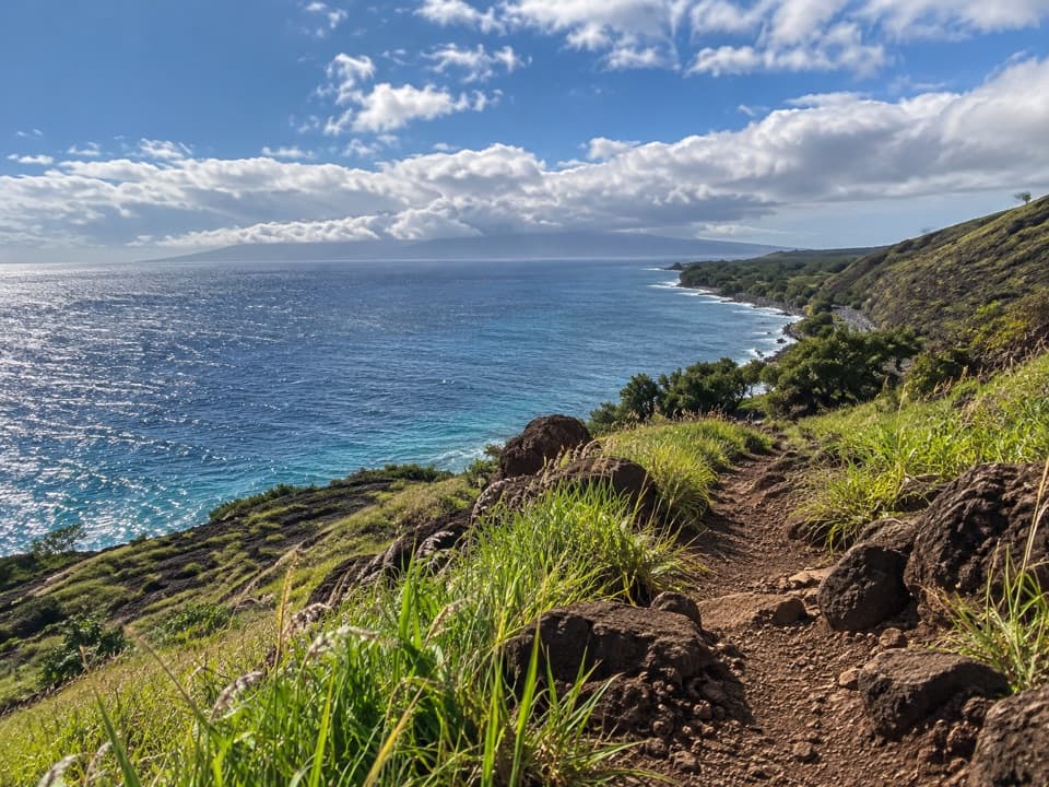 ChallengingLāhainā Pali Trail4.8 mi · 4 hr · 3.5 mi awayA tough, rocky ridge crossing with wide ocean and island views.
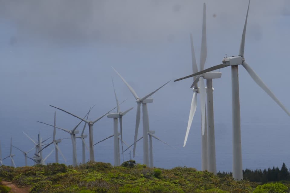 ChallengingEast Lāhainā Pali Trail3.8 mi · 3.5 hr · 3.5 mi awayA sunbaked climb to wind turbines above Māʻalaea.
 EasyʻIao Ethnobotanical Loop0.1 mi · 10 min · 6.3 mi awayA short paved circuit through a streamside ethnobotanical garden.
 EasyʻIao Needle Lookout Trail0.3 mi · 30 min · 6.3 mi awayA quick climb reaches the valley’s signature green spire.
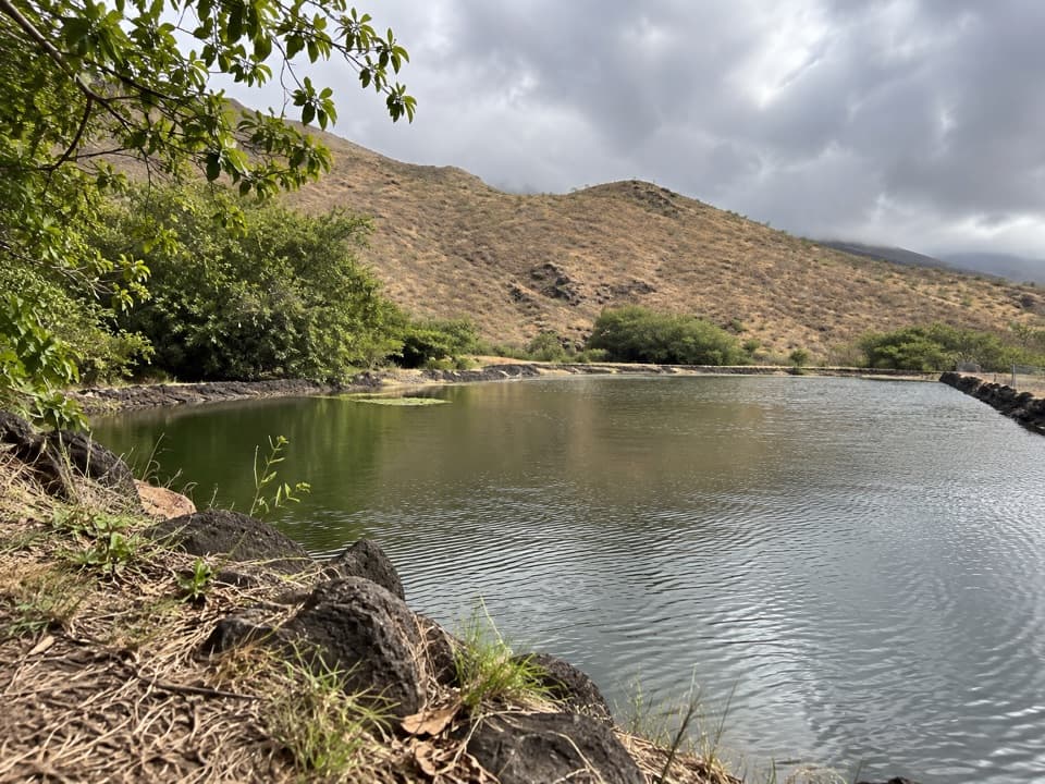 ModerateLauniupoko Valley Trail3.2 mi · 2 hr · 6.4 mi awayA reservoir and old stone walls lead into a steep valley.
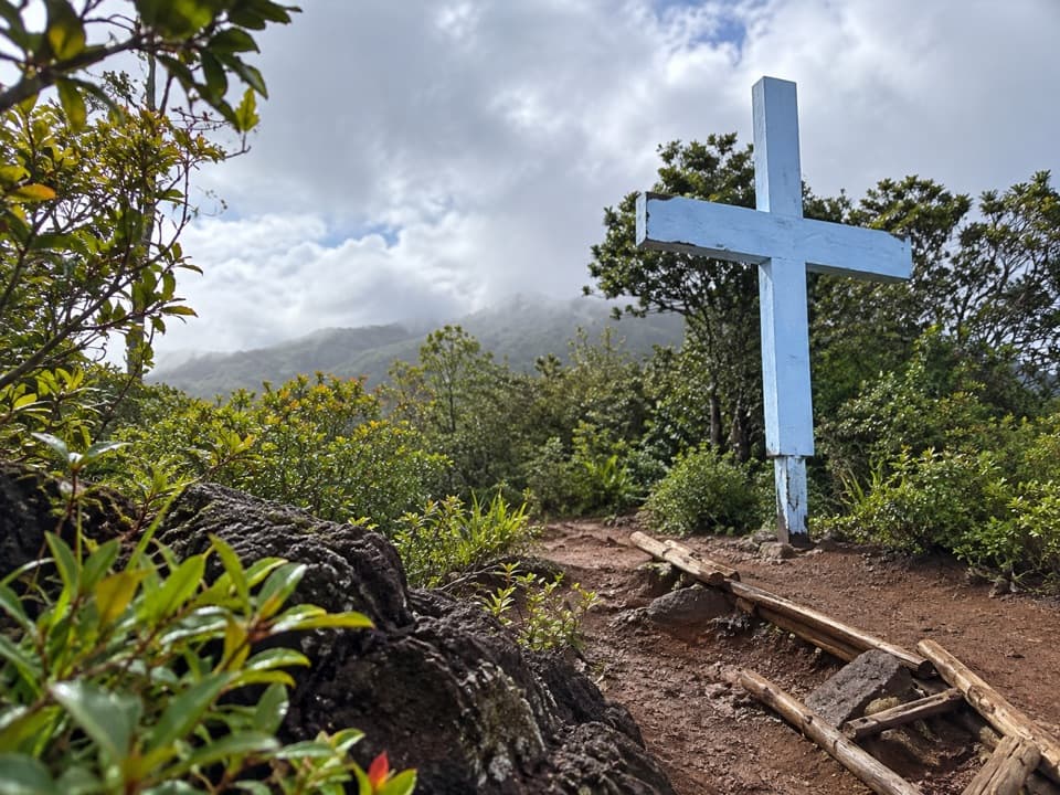 ChallengingWailuku Heights Cross Trail1 mi · 1.5 hr · 7 mi awayA steep climb to the cross above Wailuku.
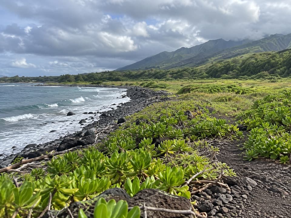 EasyWaiheʻe Coastal Dunes and Wetlands Refuge Trail2.6 mi · 1.8 hr · 10.6 mi awayA level coast walk to wetlands, old heiau, and river mouth
 ChallengingWaiheʻe Ridge Trail4.3 mi · 3 hr · 11.3 mi awaySteep ridge climb with deep gorge views and a cloud-prone summit.
 Picnic area · 0.6 mi awayPāpalaua Wayside ParkA shady beach picnic, with the highway just behind your towel.
 Beach · 1.2 mi awayUkumehame Beach ParkA roadside beach stop for surfing, sunsets, and a picnic.
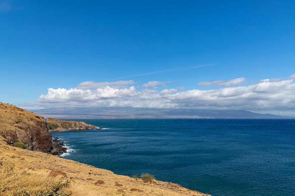 Sight · 2.1 mi awayPāpawai Scenic LookoutA quick bay overlook with a chance at winter humpbacks.
 Sight · 3.4 mi awayMaui Ocean CenterSharks overhead, Hawaiian reefs, and a humpback show indoors.
 Sight · 3.4 mi awayMāʻalaea Small Boat HarborA working harbor for Maui’s snorkeling, fishing and sailing trips.
 Beach · 3.6 mi awayOlowalu BeachA narrow roadside beach with a reef worth timing for high tide.
 Campground · 3.6 mi awayCamp OlowaluSleep beside the coast, from a tent to an A-frame cabin.
 Beach · 3.9 mi awayMāʻalaea Haycraft Beach ParkA simple shore walk with winter humpbacks sometimes offshore.
Parkwolf’s West Maui Scenic Drive ranking

The audio tour guide for the drive, plus offline maps, trails, and wildlife heatmaps for when the signal drops.


