Refuge Cove in Wilsons Promontory National Park

Beach · Wilsons Promontory National Park

Refuge Cove

A secluded white-sand cove reached by foot or boat.

Photo: Wikimedia Commons

Overview

About Refuge Cove

Why stop

  • Secluded beach with sheltered water and forested headlands
  • Safe anchorage for vessels

Heads up

  • Remote access involves a demanding Grade 4 hiking route

Map

Where it is

Loading the Wilsons Promontory map
Full map
BeachRefuge Cove-39.04234, 146.46651
Keep this map with you offline in the Parkwolf app

Plan your stop

Before you go

2 active Wilsons Promontory alerts

  • ClosureSouthern area closures and October deer-control restrictionsDo not enter the listed southern visitor areas during their closures, and plan around the October aerial deer-control operation.Official details
  • InfoEntrance traffic management and delaysAllow extra travel time and follow traffic controls at the Wilsons Promontory National Park entrance.Official details

Wilsons Promontory alerts
A park ranger sits on a dash-mounted phone, talking, as Parkwolf’s Tour Guide plays “Army Cutworm Moths: A Grizzly Bear Buffet” on Grand Loop Road below Dunraven Pass in Yellowstone
Parkwolf Tour GuideThe highest, rockiest slopes around here are a summer buffet for grizzly bears.

Wilsons Promontory Tour Guide

Your drive to Refuge Cove, narrated.

Parkwolf is a GPS audio tour guide for Wilsons Promontory National Park. As you drive, it chimes in with what’s ahead: hidden gems, upcoming stops, history, geology, and wildlife, right through your car’s speakers.

More stories near here in the app

  • Mount Oberon from Telegraph Saddle
  • 22 audio storiesacross Wilsons Promontory’s roads, triggered by GPS as you drive
  • Wildlife heatmapsfor Wedge-tailed Eagle, Koala, Bare-nosed Wombat, and 13 more
  • Works offlinemaps, 36 trails, 46 places, and audio download before you lose signal
  • CarPlay readysimple controls built for the drive
★★★★★
“Fantastic app with many points of information… It’s great to just turn on while you’re driving and it gives you an audio tour of the national Park. We love it!!!!”
JMJamesApp Store review
Download Parkwolf on the App StoreGet Parkwolf on Google Play

4.7 from 8,600+ ratings

Guide

More about Refuge Cove

A beach that takes some effortRefuge Cove is a secluded white-sand beach on the eastern side of Wilsons Promontory, set in a…

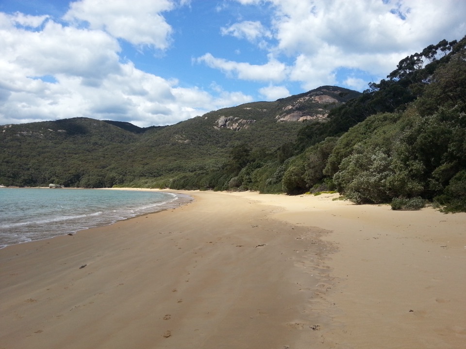
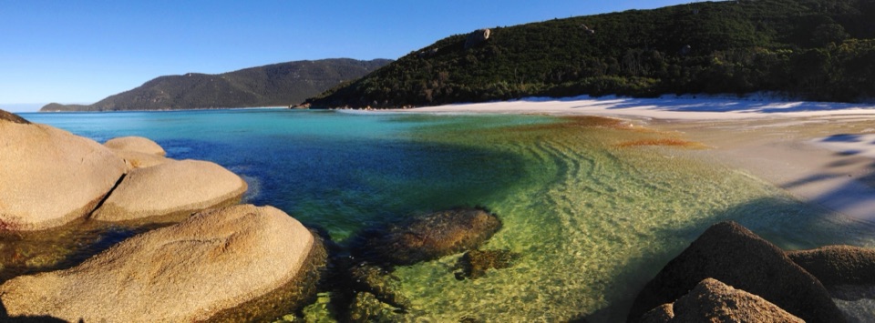
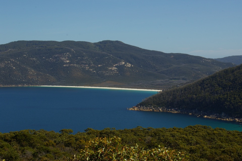
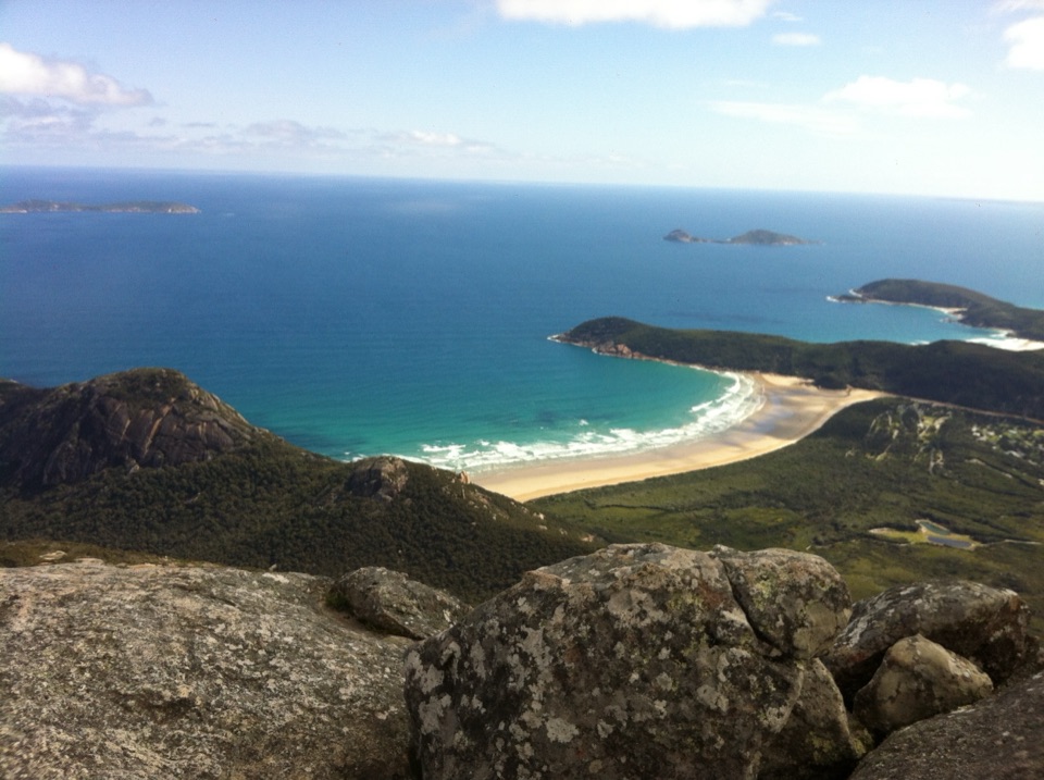
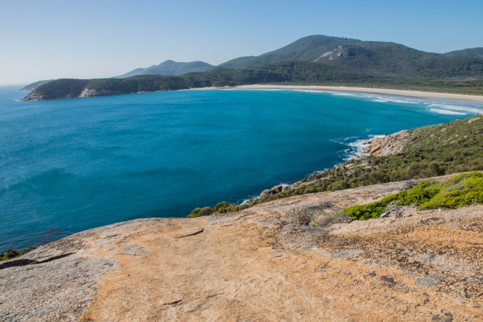
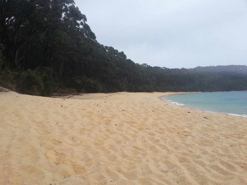
Refuge Cove is a secluded white-sand beach on the eastern side of Wilsons Promontory, set in a sheltered bay between Sealers Cove to the north and Little Waterloo Bay to the south. Reach it on foot from land; there is no road to the beach. The cove is also a safe anchorage for vessels. Come when the journey is part of the appeal: this is a remote coastal stop, not an easy roadside swim.

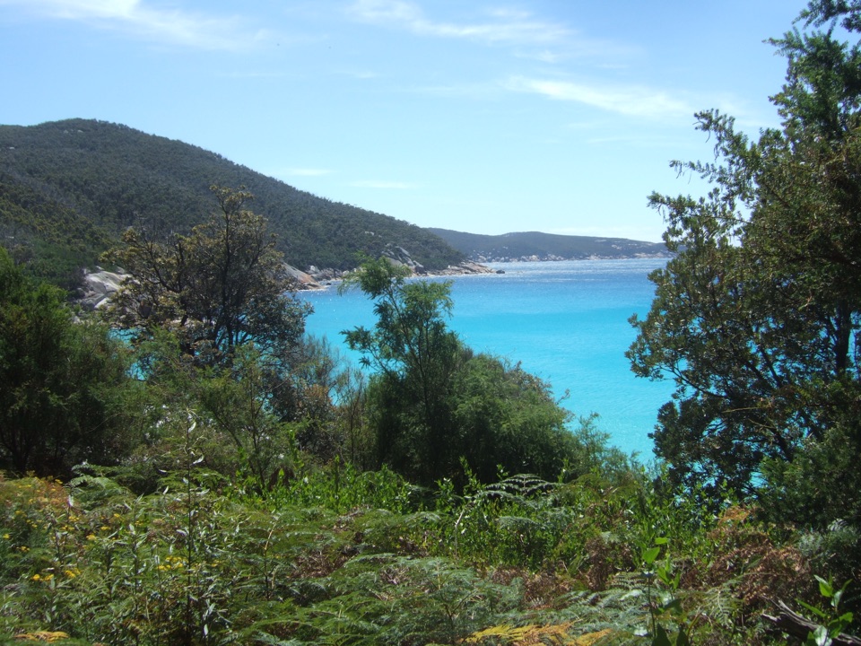
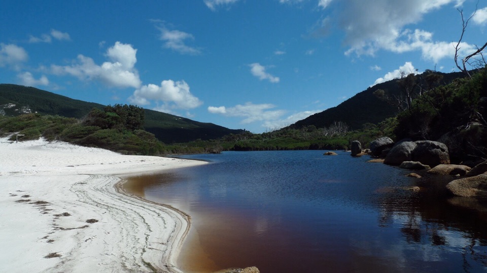
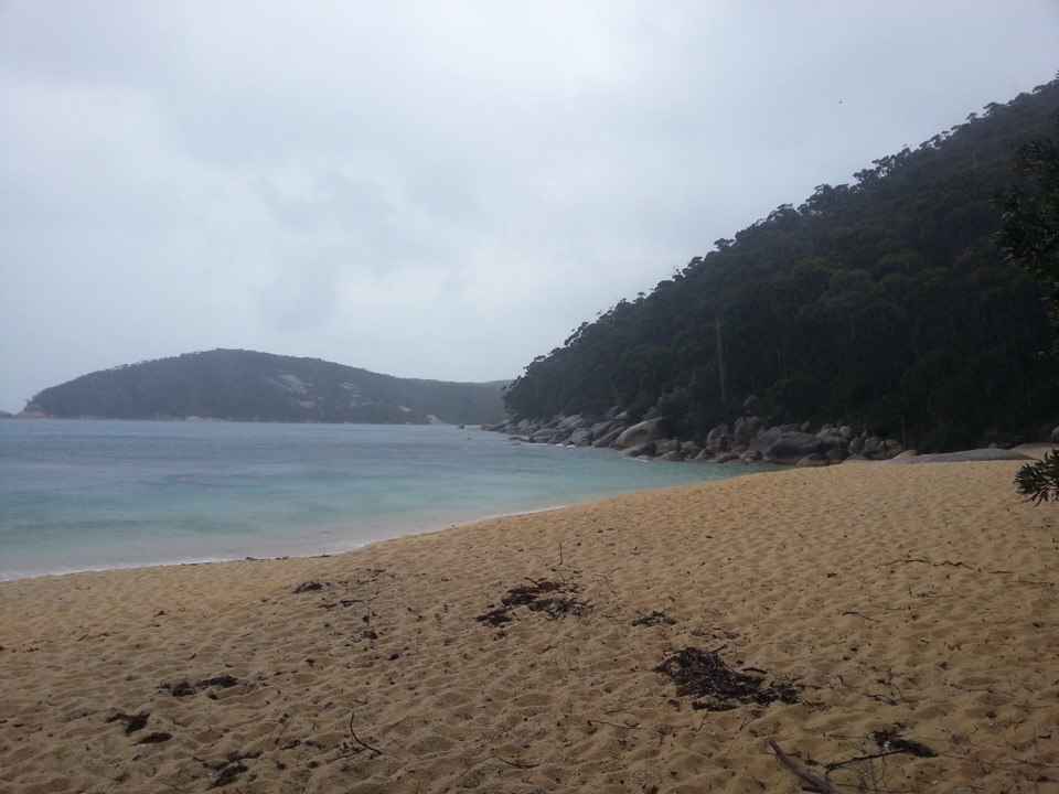
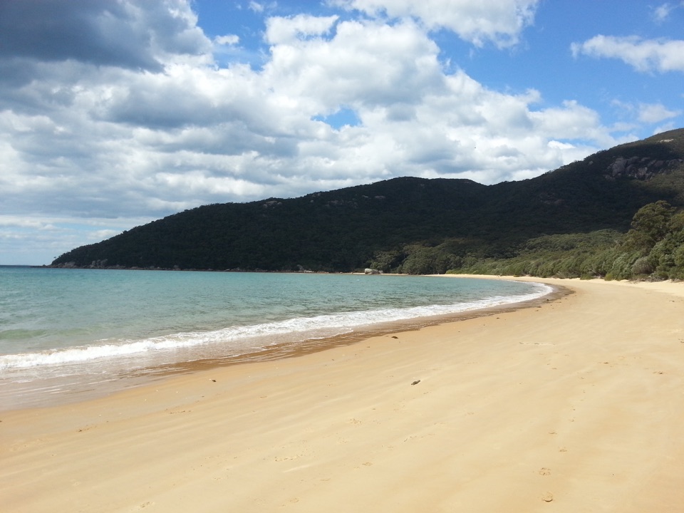
Look into the covePale sand meets clear water, with coastal vegetation and forested headlands around the bay.

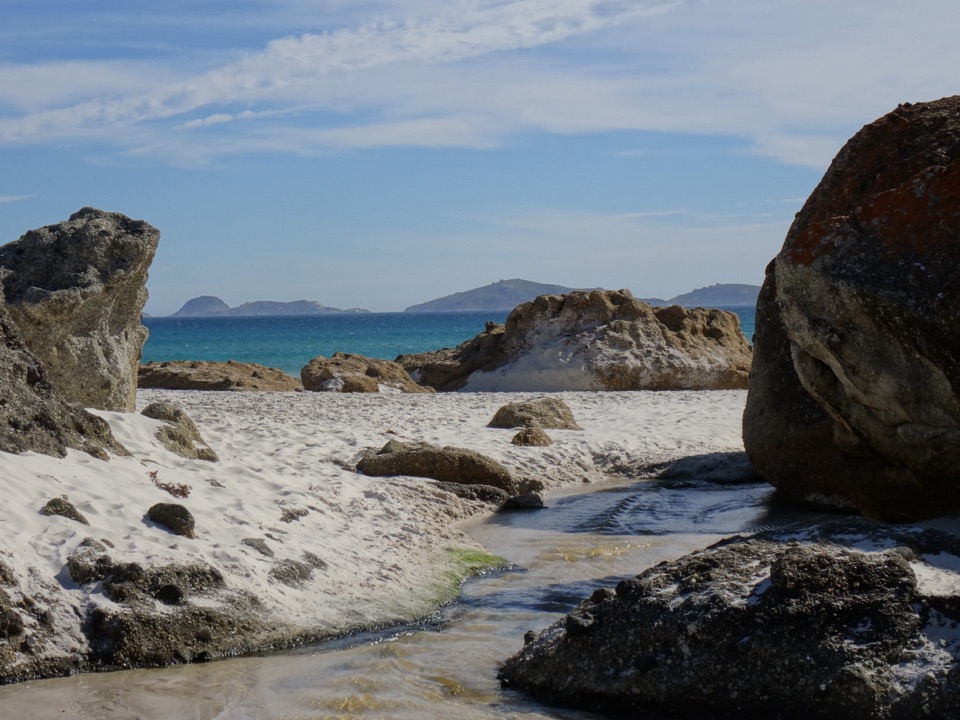
Pale sand meets clear water, with coastal vegetation and forested headlands around the bay. The appeal is the beach itself and the feeling of arriving at a sheltered pocket on the Prom's eastern coast. For a photo, keep some sand in the foreground and include the wooded shoreline across the water; a frame filled only with water loses the shape that makes this feel like a cove.

Walk in preparedWalking tracks reach Refuge Cove from Sealers Cove to the north and Little Waterloo Bay to the…

Walking tracks reach Refuge Cove from Sealers Cove to the north and Little Waterloo Bay to the south. The track from Refuge Cove Camping Area toward Little Waterloo Bay is 6.4 km one way, about two hours. It is Grade 4, with steep rocky sections and uneven surfaces. That is the onward leg from the cove's camp, not the full approach from a road. Plan the complete route and overnight stops before setting off; this is part of a remote hiking network, not a quick walk from a nearby car park.

Staying at the coveThe separate Refuge Cove Camping Area is at the southern end, close to the water and surrounded…

The separate Refuge Cove Camping Area is at the southern end, close to the water and surrounded by vegetation. Hikers and recreational boaters need to book ahead to stay there. The camp has toilets and untreated creek water, which must be treated before drinking. Carry food and supplies for the whole route, and plan for a no-fire stay.

Wildlife

Wildlife in Wilsons Promontory

All Wilsons Promontory wildlife maps

Sighting maps show where each species has been reported across Wilsons Promontory. Wildlife moves, so no sighting is guaranteed.

Parkwolf’s Wilsons Promontory ranking

Top sights in Wilsons Promontory

All 46 places
  1. 1Squeaky BeachBeach
  2. 2Mount OberonSight
  3. 3Norman BeachBeach
  4. 4Big DriftSight
  5. 5Wilsons Promontory LightstationSight
  6. 6Whisky BayBeach

Take Parkwolf to Wilsons Promontory.

The audio tour guide for the drive, plus offline maps, trails, and wildlife heatmaps for when the signal drops.

4.7 from 8,600+ ratings

Download Parkwolf on the App StoreGet Parkwolf on Google Play