Parking
No drive-up access at Little Waterloo Bay. Reach it on foot from the Southern Circuit; if you leave a vehicle at park access, display the overnight hiking permit there.
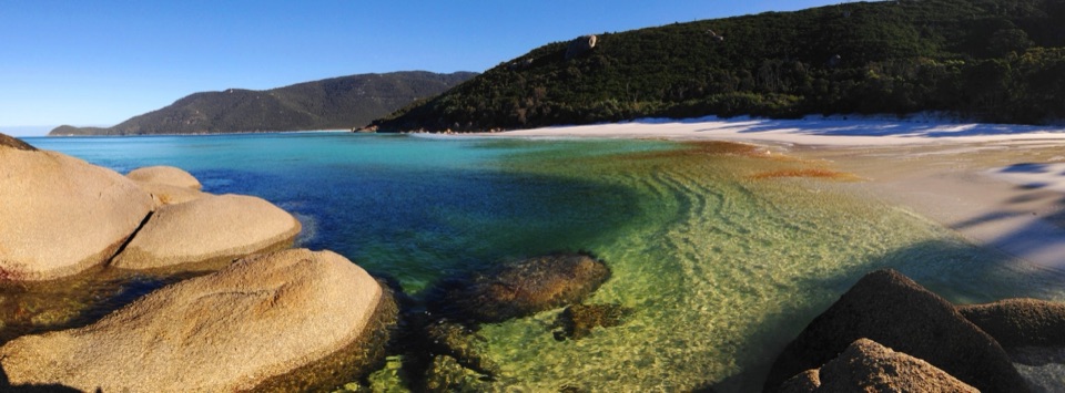
Wilsons Promontory National Park, VIC
A remote coastal climb to a historic station above the sea.
Overview
Map & elevation
Plan your hike

The highest, rockiest slopes around here are a summer buffet for grizzly bears.
Wilsons Promontory Tour Guide
Parkwolf is a GPS audio tour guide for Wilsons Promontory National Park. As you drive, it chimes in with what’s ahead: hidden gems, upcoming stops, history, geology, and wildlife, right through your car’s speakers.
More stories near here in the app
“Fantastic app with many points of information… It’s great to just turn on while you’re driving and it gives you an audio tour of the national Park. We love it!!!!”


Trail guide
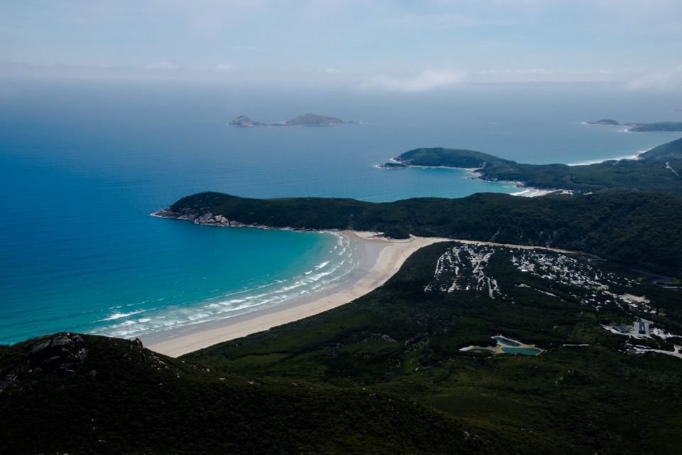
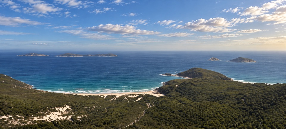
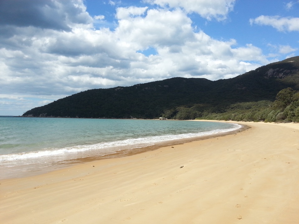
Waterloo Bay to Lightstation is a 9.8 km one-way leg of the Southern Circuit, from the Little Waterloo Bay access to the historic Wilsons Promontory Lightstation. Its published walk time is three hours and the route is Grade 4. This is a remote overnight stage, not a drive-up lighthouse visit: reach both ends on foot as part of a longer itinerary. The reward is the historic station and views over the southern coast that open during the steady climb. Choose it if the Lightstation is part of your multi-day plan; it is a lot of walking for a quick look.
The route leaves the bay on sand, then follows ground track through varied coastal plant communities. The climb is steady with steep sections. One 2017 walker describes a ridge climb, a traverse along the coast, then a very steep final kilometre up to the Lightstation. Treat that last climb as part of the effort, not as a short stroll after the beach. When the station appears, frame it with a strip of coast below so the picture shows its isolated setting.
There is no drive-up access at Little Waterloo Bay. Reach it on foot from another Southern Circuit leg and plan how you will continue from the Lightstation before setting out. Overnight hiking and Lightstation accommodation require advance booking; the cottages are self-catering, and camping is not allowed at the station. Overnight hikers need a vehicle permit displayed at the car left at the park access. Tank water is available at the Lightstation accommodation, but no public refill or food stop is listed along this leg. Carry enough food and water for the remote walk. Dogs are not allowed.
Wildlife
 18 sightingsWedge-tailed EagleMost seen around 11 AMSighting map
 29 sightingsKoalaMost seen around 6 PMSighting map
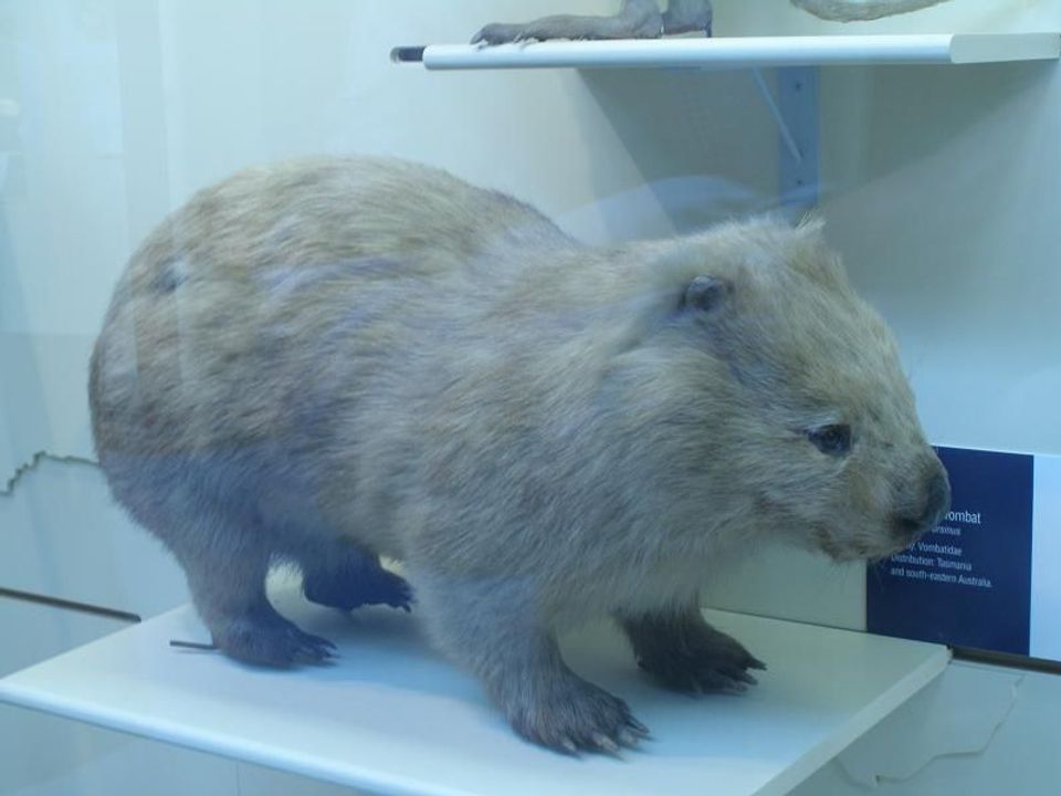 774 sightingsBare-nosed WombatMost seen around 6 PMSighting map
 291 sightingsEastern Grey KangarooMost seen around 7 AMSighting map
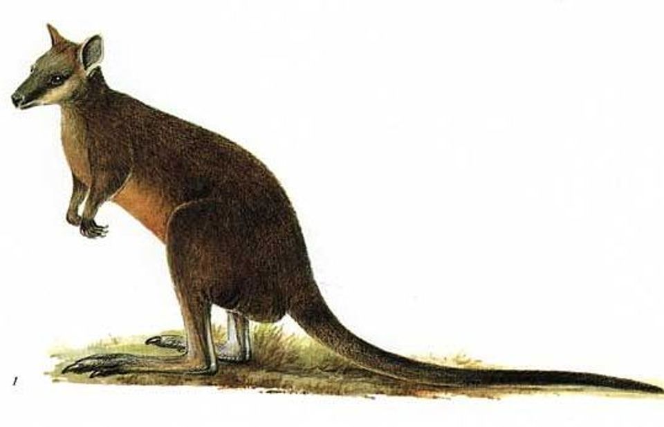 512 sightingsSwamp WallabyMost seen around 6 PMSighting map
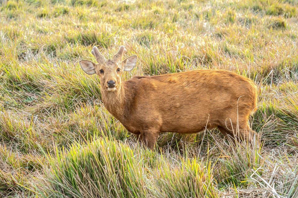 20 sightingsIndochinese Hog DeerMost seen around 7 AMSighting map
Sighting maps show where each species has been reported across Wilsons Promontory. Wildlife moves, so no sighting is guaranteed.
Keep exploring
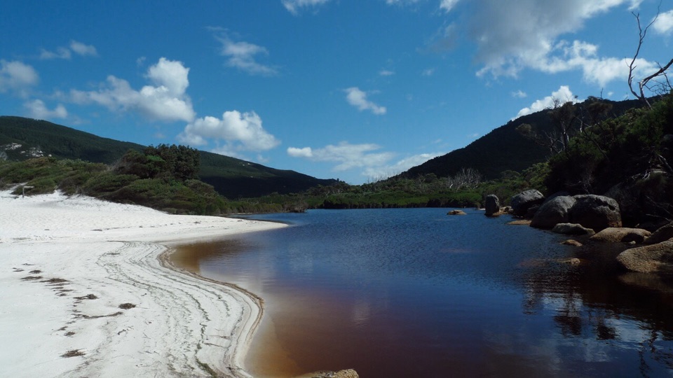 ModerateLittle Waterloo Bay to Telegraph Saddle Hike11.9 km · 4.5 hr · At the trailheadCoastal scrub gives way to a steep climb through eucalypt forest.
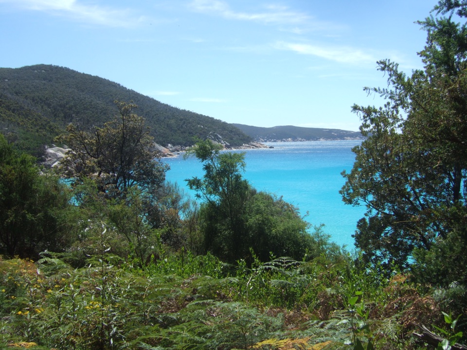 ChallengingRefuge Cove to Little Waterloo Bay Walking Track6.4 km · 2.5 hr · 3.9 km awayA steep headland crossing between two coastal camps
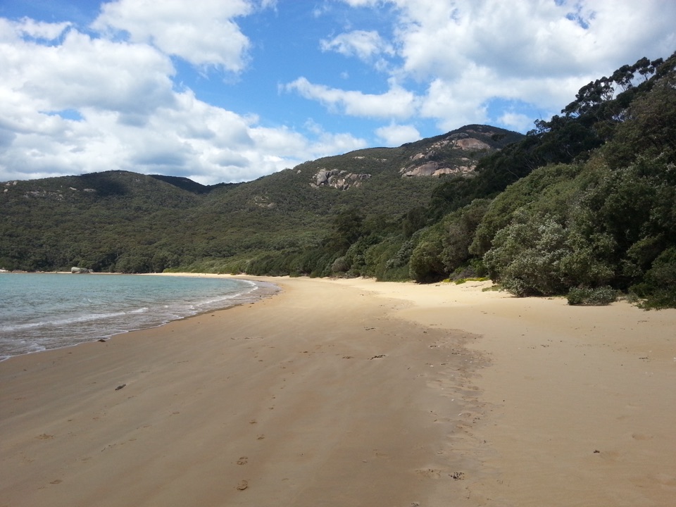 ModerateSealers Cove to Refuge Cove Walking Track6.4 km · 2 hr · 4.9 km awayA rocky rise above Five Mile Beach links two remote coves.
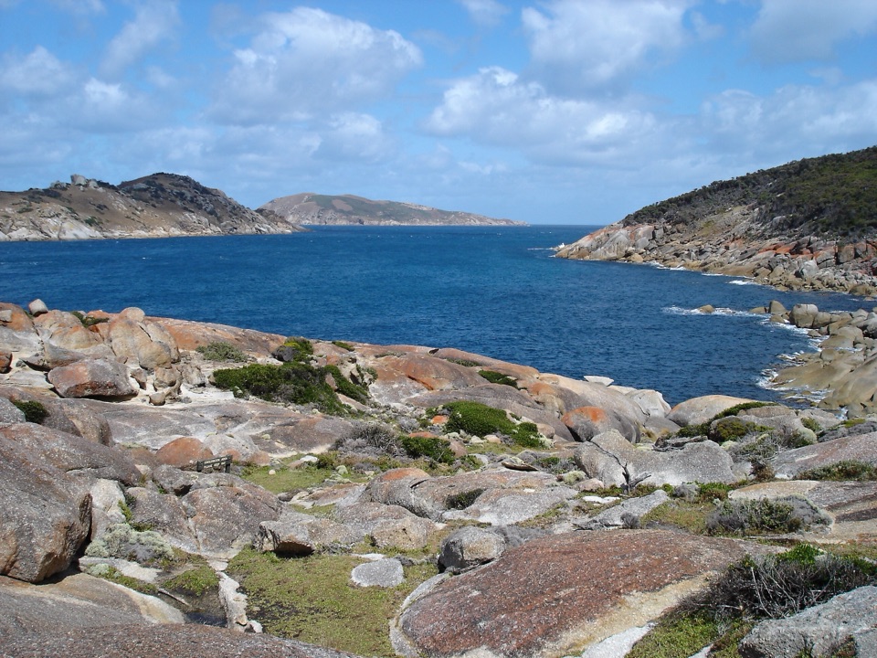 ChallengingSouth Point Track from Roaring Meg7.4 km · 2.5 hr · 6.8 km awayThe mainland's southern tip rewards the long walk in.
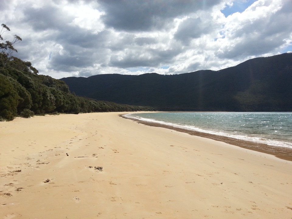 ChallengingSealers Cove Walk20 km · 6.5 hr · 7.4 km awayA full-day rainforest walk earns a crescent of quiet beach.
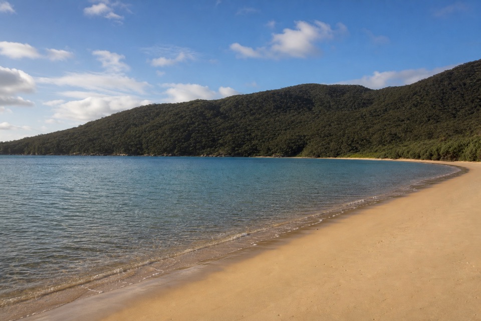 ChallengingSouthern Prom Circuit35.5 km · 11 hr · 7.4 km awayFerny climbs open onto three sheltered coves on the east coast.
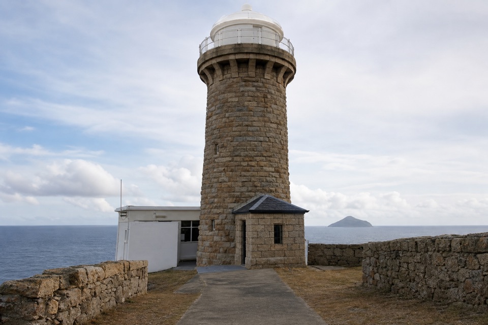 ChallengingWilsons Promontory Lightstation Walk19.1 km · 5.5 hr · 7.4 km awayA long forest walk ends at a lighthouse above the sea.
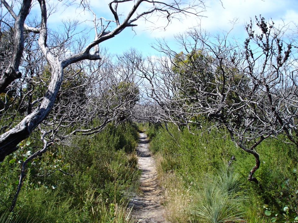 ChallengingSouthern Prom Extended Circuit58.7 km · 20 hr · 7.4 km awayFive days of coves, a lighthouse, and mainland South Point.Campground · At the trailheadLittle Waterloo Bay Camping AreaA backcountry camp beside white sand and clear water.Beach · 0.2 km awayLittle Waterloo BayWhite sand, granite boulders, and a real hike to get here.
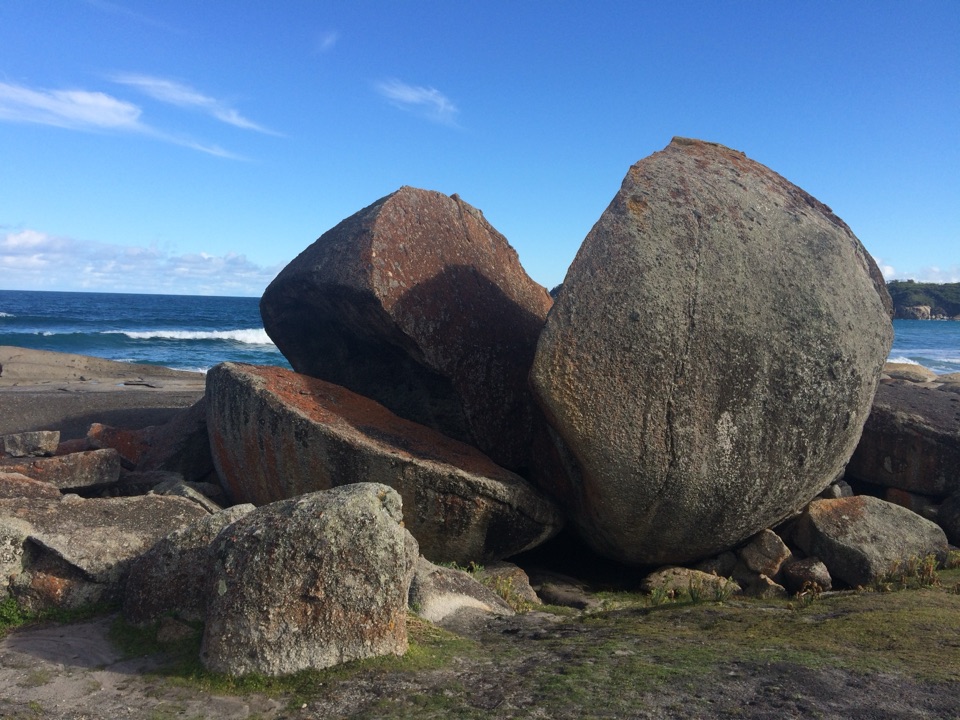
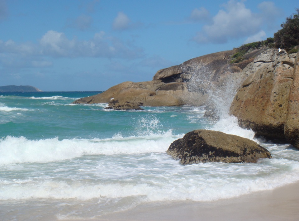
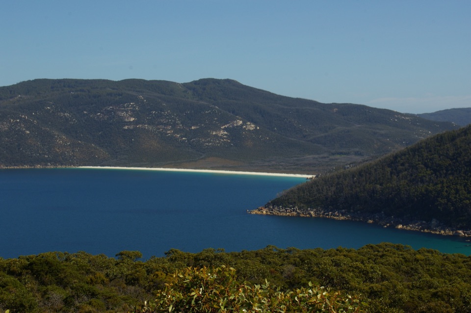 Beach · 2 km awayWaterloo BayA remote sweep of white sand on the Southern Circuit.
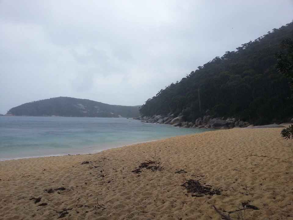 Campground · 3.8 km awayRefuge Cove Camping AreaA secluded cove camp reached by walking track or boat.
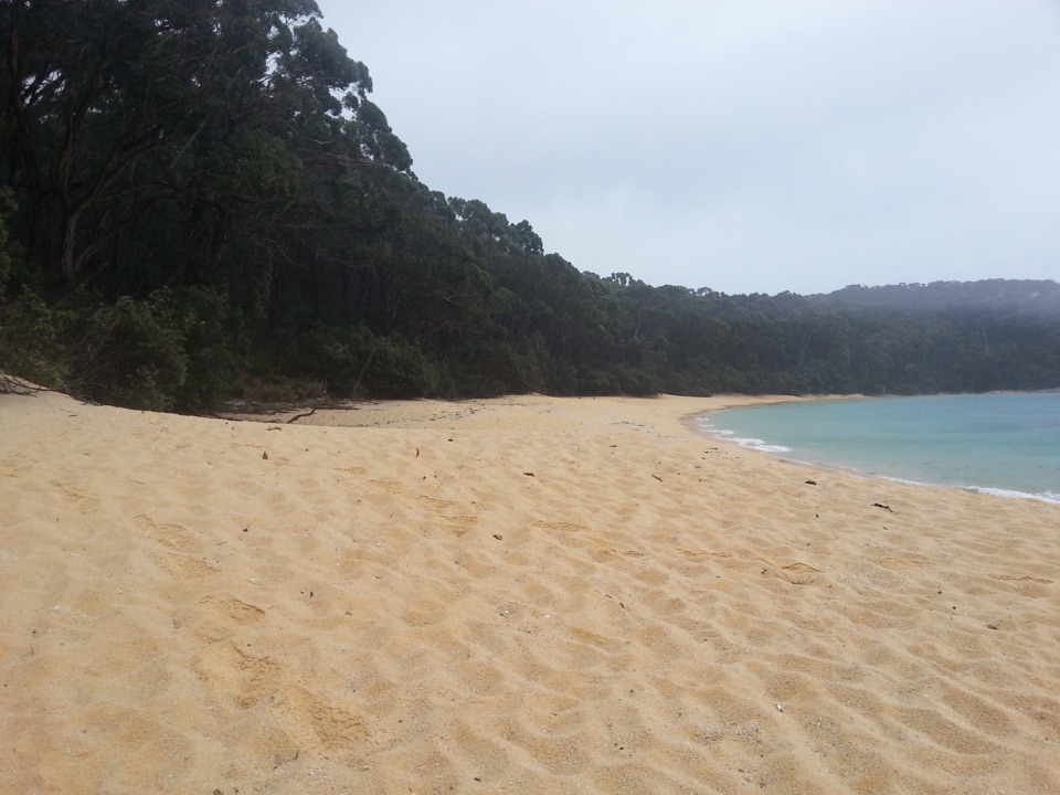 Beach · 4 km awayRefuge CoveA secluded white-sand cove reached by foot or boat.
 Campground · 4.6 km awayHalfway Hut Hike-in Camping AreaA quiet bush camp beside a hut built for telegraph linesmen.
 Campground · 4.8 km awaySealers Cove Camping AreaA beachside camp reached by a 10-kilometre walk.Beach · 4.9 km awaySealers CoveA pale-sand cove worth the long rainforest walk.
Parkwolf’s Wilsons Promontory ranking

The audio tour guide for the drive, plus offline maps, trails, and wildlife heatmaps for when the signal drops.