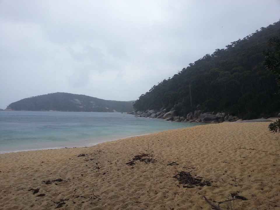
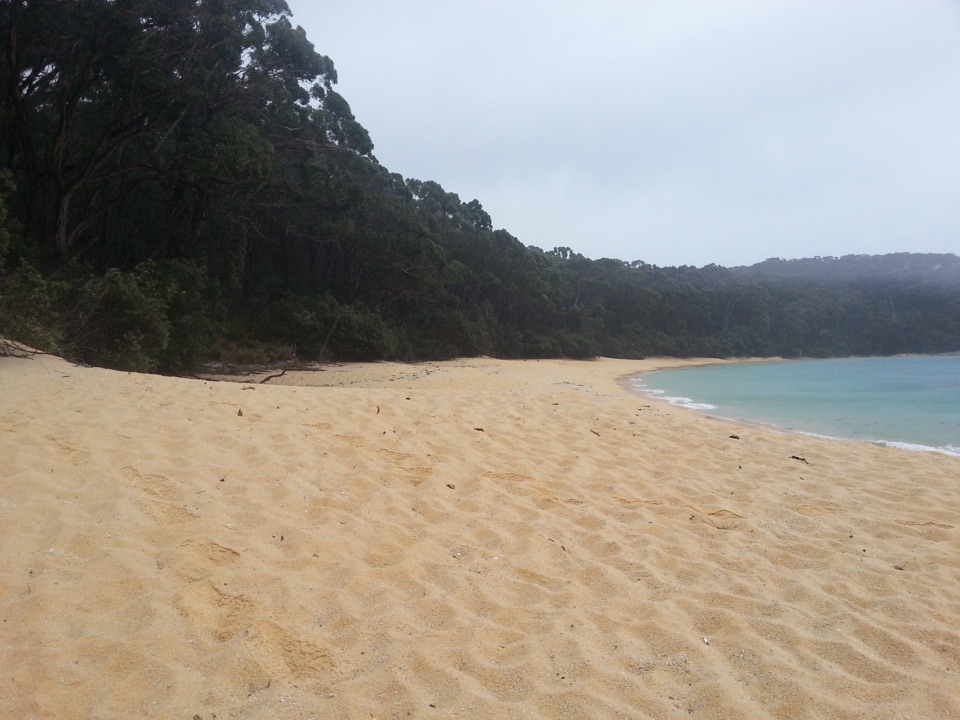
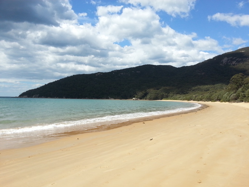
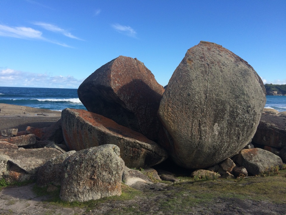
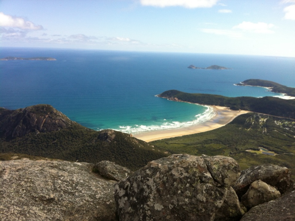
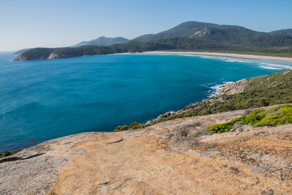
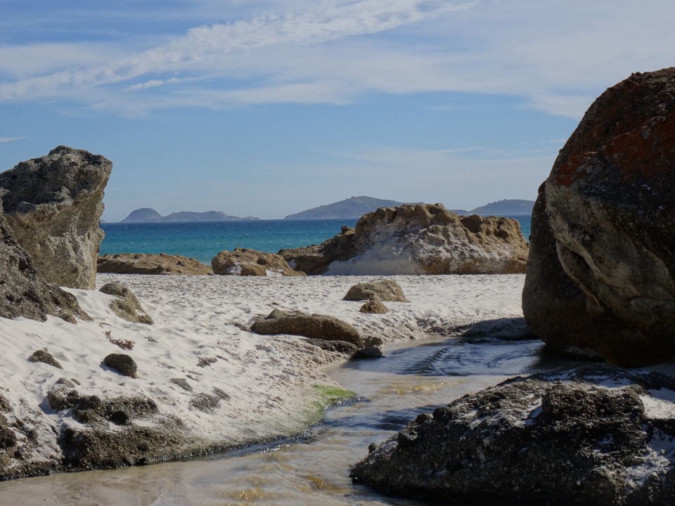
Waterloo Bay in Wilsons Promontory National Park

Beach · Wilsons Promontory National Park

Waterloo Bay

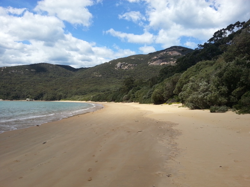
A remote sweep of white sand on the Southern Circuit.

Photo: Wikimedia Commons

Overview

About Waterloo Bay

Why stop

  • White-sand coast with a high-point view over the bay and wetland.

Heads up

  • A remote walking destination that takes substantial effort to reach.

Map

Where it is

Loading the Wilsons Promontory map
Full map
BeachWaterloo Bay-39.08247, 146.42496
Keep this map with you offline in the Parkwolf app

Plan your stop

Before you go

2 active Wilsons Promontory alerts

  • ClosureSouthern area closures and October deer-control restrictionsDo not enter the listed southern visitor areas during their closures, and plan around the October aerial deer-control operation.Official details
  • InfoEntrance traffic management and delaysAllow extra travel time and follow traffic controls at the Wilsons Promontory National Park entrance.Official details
Wilsons Promontory alerts
A park ranger sits on a dash-mounted phone, talking, as Parkwolf’s Tour Guide plays “Army Cutworm Moths: A Grizzly Bear Buffet” on Grand Loop Road below Dunraven Pass in Yellowstone
Parkwolf Tour GuideThe highest, rockiest slopes around here are a summer buffet for grizzly bears.

Wilsons Promontory Tour Guide

Your drive to Waterloo Bay, narrated.

Parkwolf is a GPS audio tour guide for Wilsons Promontory National Park. As you drive, it chimes in with what’s ahead: hidden gems, upcoming stops, history, geology, and wildlife, right through your car’s speakers.

More stories near here in the app

  • Mount Oberon from Telegraph Saddle
  • Sealers Cove from Telegraph Saddle
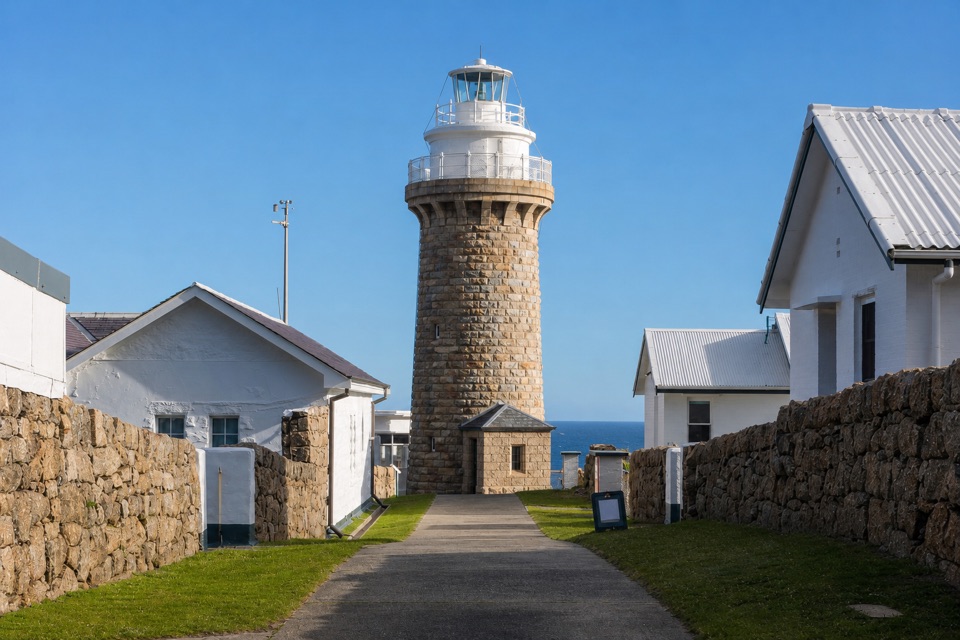
  • The Walk to Wilsons Promontory Lightstation
  • 22 audio storiesacross Wilsons Promontory’s roads, triggered by GPS as you drive
  • Wildlife heatmapsfor Wedge-tailed Eagle, Koala, Bare-nosed Wombat, and 13 more
  • Works offlinemaps, 36 trails, 46 places, and audio download before you lose signal
  • CarPlay readysimple controls built for the drive
★★★★★
“Fantastic app with many points of information… It’s great to just turn on while you’re driving and it gives you an audio tour of the national Park. We love it!!!!”
JMJamesApp Store review
Download Parkwolf on the App StoreGet Parkwolf on Google Play

4.7 from 8,600+ ratings

Guide

More about Waterloo Bay

A beach for a longer walkWaterloo Bay is a remote beach on Wilsons Promontory’s eastern shore, reached from the Southern…

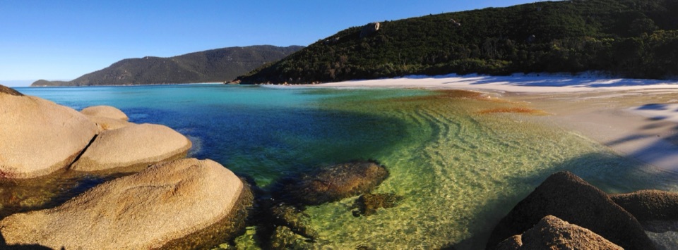
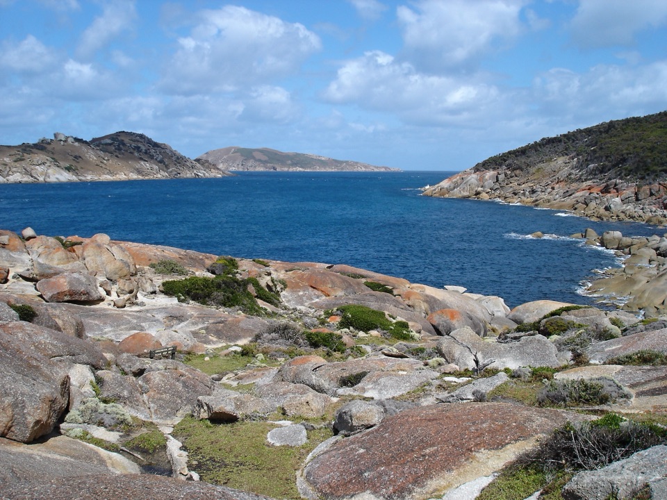
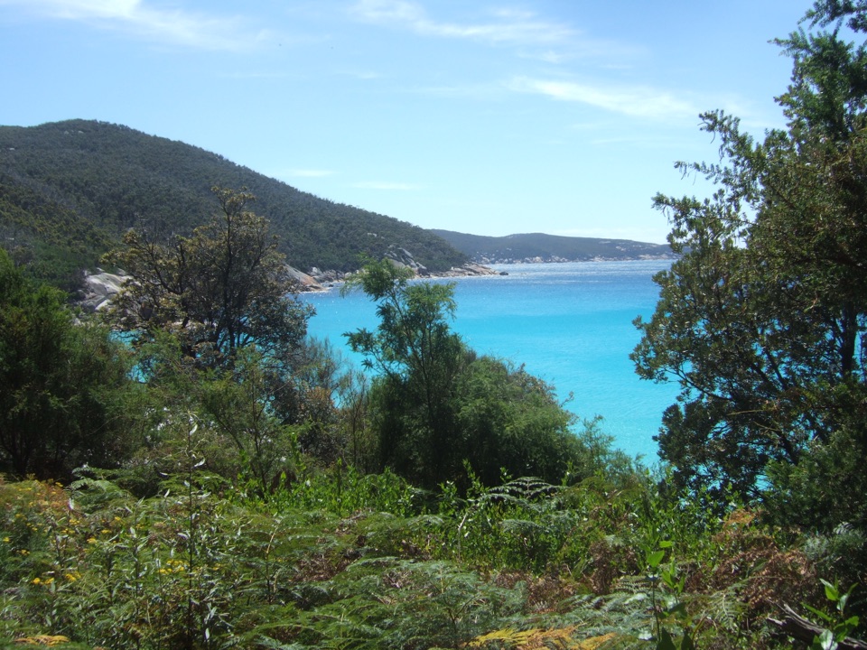
Waterloo Bay is a remote beach on Wilsons Promontory’s eastern shore, reached from the Southern Circuit walking routes rather than by road. It is one of the white-sand, clear-water bays on the park’s less-visited Southern Prom coast. Come for the wild coast and the feeling of arriving somewhere most day visitors never see; skip it if you want a quick beach stop. The circuit uses Waterloo Bay as an overnight stop, so it fits best into a multi-day walk.

The way inFrom Telegraph Junction, the track undulates over low hills for about 4.

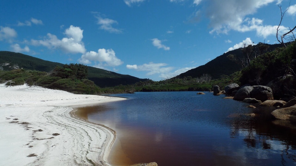
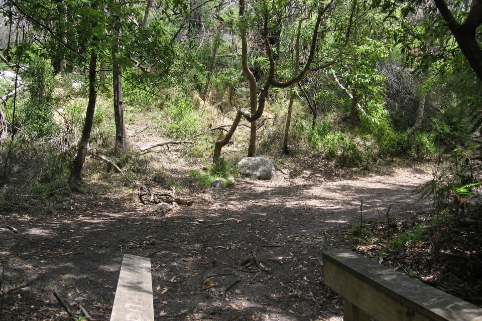
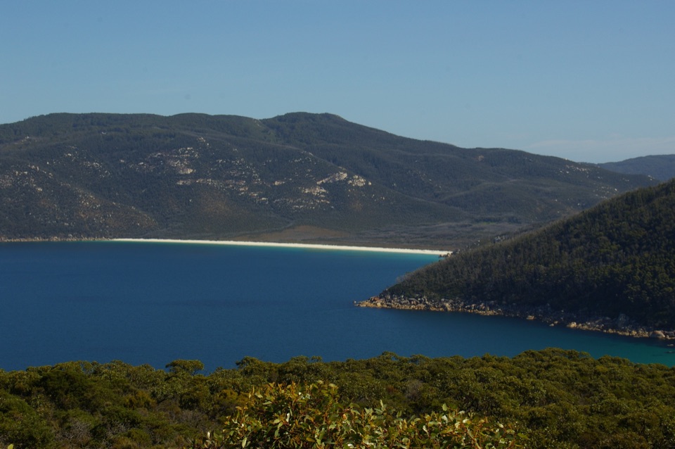
From Telegraph Junction, the track undulates over low hills for about 4.7 km before a high point opens onto the bay, the coastal wetland behind it and rocky tors to the south. The trail crosses swamp on boardwalk, then the lowlands open toward Mount Wilson before you reach the foreshore. That view from above is the defining moment: frame the beach with the wetland and tors rather than photographing only the water. A regional walking route continues along the coast toward Little Waterloo Bay, where a creek crossing may mean getting your feet wet or rock-hopping.

Plan for the distanceTreat this as a serious remote walk, not a swim stop you can add from the car.

Treat this as a serious remote walk, not a swim stop you can add from the car. A listed Telegraph Junction–Waterloo Bay–Little Waterloo Bay return covers 23.6 km and is Grade 4; the full Southern Circuit takes three to five days, with the bay used as a camp stop on a popular itinerary. Those details are route choices, not the distance to the beach alone. Bring what the walk requires: no bay-specific food, toilets, drinking water or parking were verified. Little Waterloo Bay and its hike-in campsite are separate destinations farther north, and their amenities or current access conditions do not describe this beach.

Wildlife

Wildlife in Wilsons Promontory

All Wilsons Promontory wildlife maps

Sighting maps show where each species has been reported across Wilsons Promontory. Wildlife moves, so no sighting is guaranteed.

Keep exploring

Near Waterloo Bay

See it all on the map

Trails nearby

More stops nearby

Parkwolf’s Wilsons Promontory ranking

Top sights in Wilsons Promontory

All 46 places
  1. 1Squeaky BeachBeach
  2. 2Mount OberonSight
  3. 3Norman BeachBeach
  4. 4Big DriftSight
  5. 5Wilsons Promontory LightstationSight
  6. 6Whisky BayBeach

Take Parkwolf to Wilsons Promontory.

The audio tour guide for the drive, plus offline maps, trails, and wildlife heatmaps for when the signal drops.

4.7 from 8,600+ ratings

Download Parkwolf on the App StoreGet Parkwolf on Google Play