Parking
Start at Darby River Carpark, the southern access for this route. Toilets and picnic tables are available at the carpark.
#8 of 36 trails in Wilsons Promontory
Wilsons Promontory National Park, VIC
A granite headland hike with a Fairy Cove spur at low tide.
Overview
Map & elevation
Plan your hike

The highest, rockiest slopes around here are a summer buffet for grizzly bears.
Wilsons Promontory Tour Guide
Parkwolf is a GPS audio tour guide for Wilsons Promontory National Park. As you drive, it chimes in with what’s ahead: hidden gems, upcoming stops, history, geology, and wildlife, right through your car’s speakers.
Recorded for this trailhead
Darby River Walks to Tongue Point“You're approaching Darby River Carpark, where the Tongue Point walk crosses an old sand dune before heading toward granite sea cliffs. It's 7.”
Plays as you drive up to this trailhead in the Parkwolf Wilsons Promontory Tour Guide.
More stories near here in the app
“Fantastic app with many points of information… It’s great to just turn on while you’re driving and it gives you an audio tour of the national Park. We love it!!!!”


Trail guide
Darby River to Tongue Point Walk is an out-and-back coastal hike from Darby River Carpark to a weathered granite headland. The marked route is 3.8 km one way and about two hours each way, so returning to the same carpark makes this 7.6 km (4.7 miles) and about four hours before a long stop. It is a Grade 4 day walk. The coast view builds over the walk: an elevated start above a river valley, then open headland views, with granite tors at the end. A separate route from Darby Saddle also reaches Tongue Point but starts elsewhere and needs different transport. Start and finish at Darby River for the experience described here.
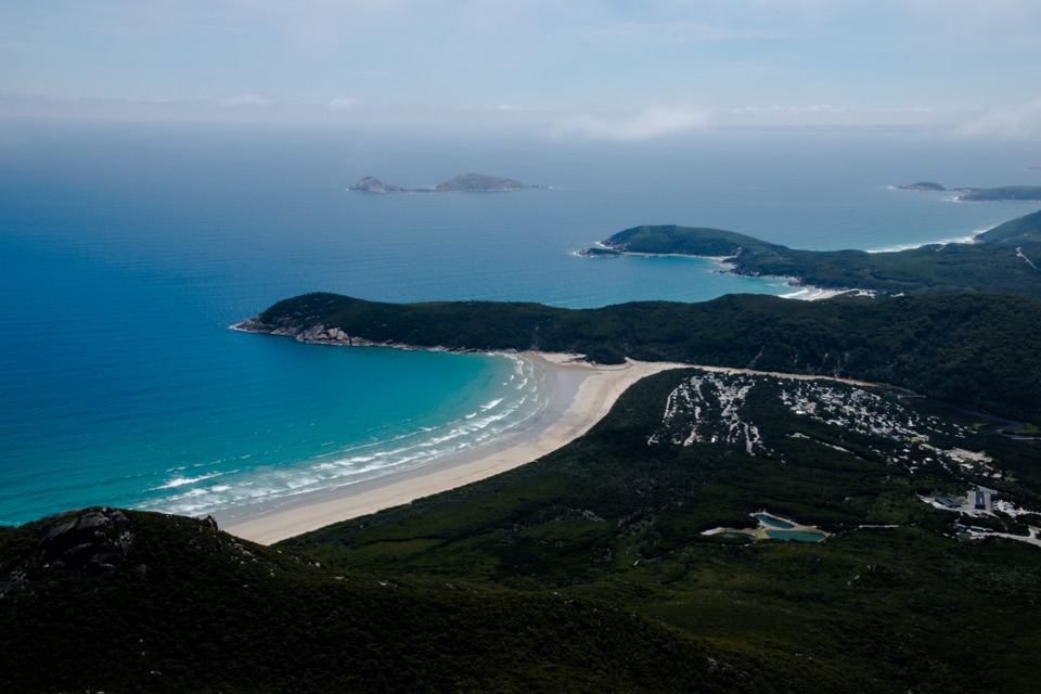
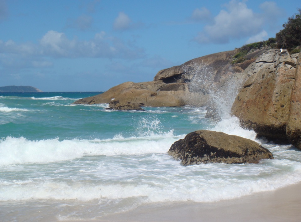
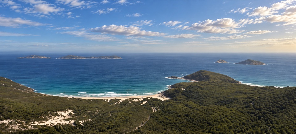
The walk begins with a gentle climb over an ancient sand dune. As you gain height, Darby River winds through a deep valley below, with the Vereker Range beyond. The path then crosses a saddle and follows the coastal headland. Views open over Darby Swamp, the Vereker Range, and Darby and Cotters beaches; this is a route to look around on, not just press toward its end. Windswept coastal vegetation and weathered granite take over as the sea becomes a larger part of the view.
At about 2.4 km, a stepped side track descends to Fairy Cove. Access to the shore is possible only at low tide, so check the tide before you commit to the steps. It is an optional branch: return to the junction to continue to Tongue Point. About 2.7 km from the carpark, the main route turns toward the headland.
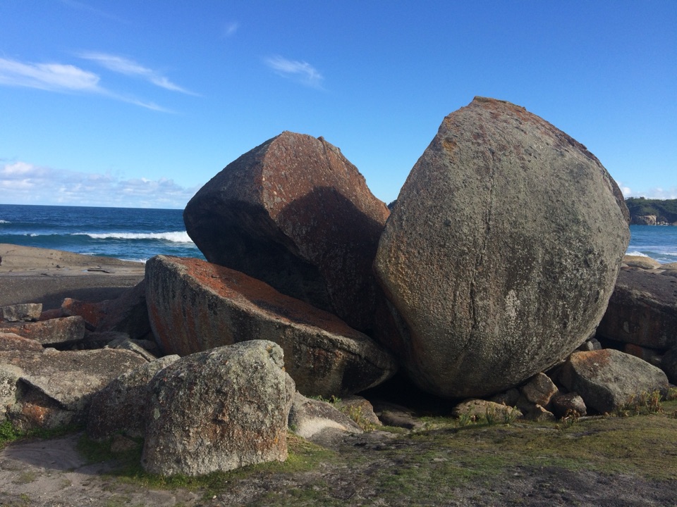
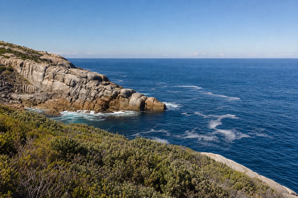
The final stretch reaches weathered granite tors and boulders around the point. The marked track ends before a boulder-covered, semi-detached island; the gap is not a crossing to attempt. There are unprotected cliffs, so stay on the established track and give edges room.
This is the strongest place for a photo on the walk. Put the pale granite at one side of the frame and leave the open sea behind it; the rock gives the water a clear foreground and makes the headland's shape easier to read. Stay back from the edge rather than stepping out for a wider angle.
The initial climb, rolling coastal route and unprotected headland make the full return a proper half-day walk, even with the official estimate of two hours each way. The grade is 4, and the distance includes retracing the route from Tongue Point to Darby River Carpark. Allow time to stop at the views and keep the tide window in mind only if you take the Fairy Cove spur.
Toilets and picnic tables are at the carpark. No food or drinking-water supply was confirmed along the route, so carry what you need for the return. Dogs, cats and horses are not permitted in the park.
Wildlife
 18 sightingsWedge-tailed EagleMost seen around 11 AMSighting map
 29 sightingsKoalaMost seen around 6 PMSighting map
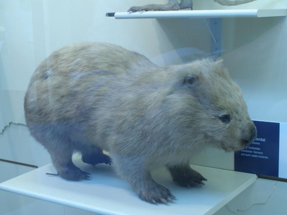 774 sightingsBare-nosed WombatMost seen around 6 PMSighting map
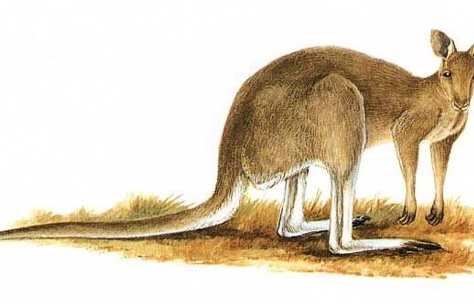 291 sightingsEastern Grey KangarooMost seen around 7 AMSighting map
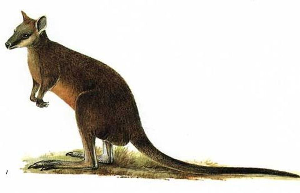 512 sightingsSwamp WallabyMost seen around 6 PMSighting map
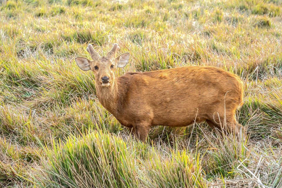 20 sightingsIndochinese Hog DeerMost seen around 7 AMSighting map
Sighting maps show where each species has been reported across Wilsons Promontory. Wildlife moves, so no sighting is guaranteed.
Keep exploring
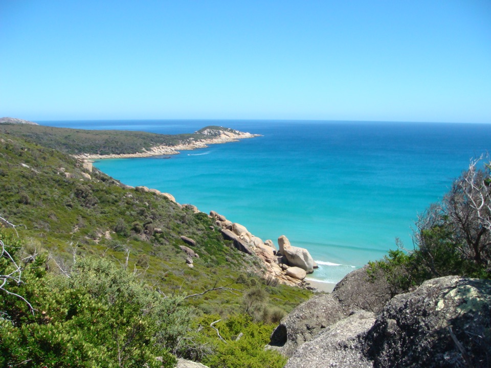 ChallengingDarby River to Darby Saddle via Tongue Point9.4 km · 4.5 hr · At the trailheadA coastal through-walk from Darby River to Darby Saddle.
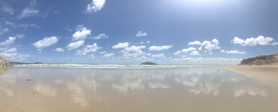 EasyDarby Beach Walk2.2 km · 40 min · At the trailheadA sandy river walk to a small beach between rocky headlands.
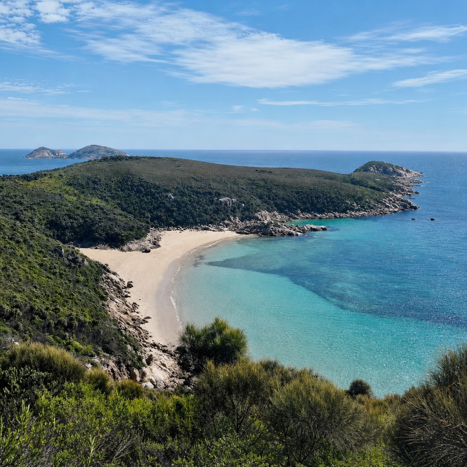 ModerateDarby River to Fairy Cove Walk5.6 km · 2 hr · At the trailheadA quiet cove worth timing your walk around low tide.ModerateTongue Point from Darby Saddle11.2 km · 5 hr · 3.5 km awayA long coastal climb ending among Tongue Point’s weathered granite.
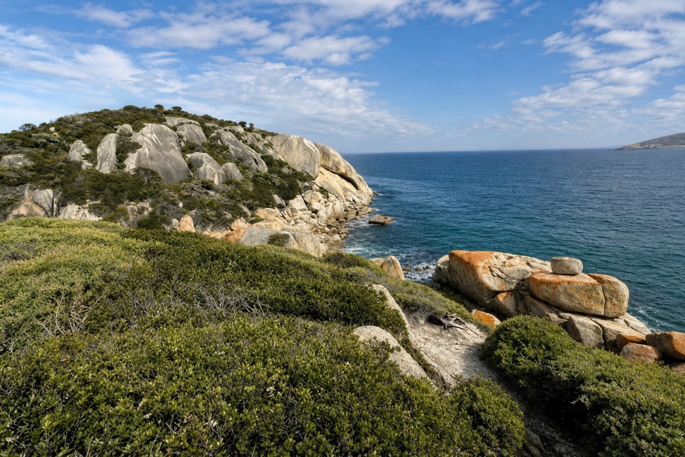 ModerateDarby Saddle to Sparkes Lookout Walk4.8 km · 1.8 hr · 3.5 km awayA broad coastal view before the longer Tongue Point walk.
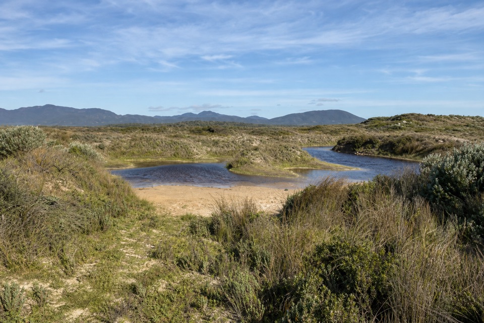 EasyCotters Lake and Beach Access Track2.4 km · 1 hr · 4.6 km awayCross the often-dry lake basin to a remote, windswept beach.
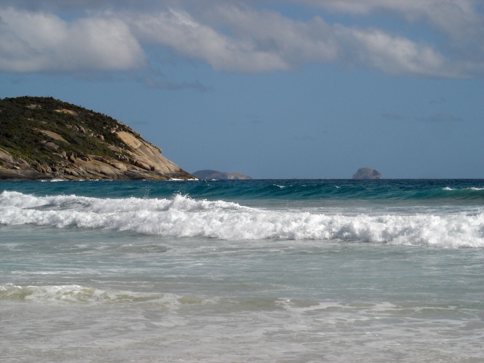 ModeratePicnic Bay Walk3.3 km · 1.5 hr · 5.7 km awayRock pools and granite headlands on a short coastal return.
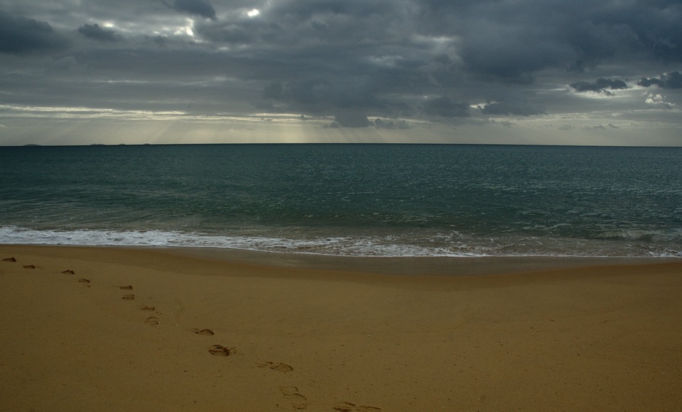 ChallengingFive Mile Beach Walk36.9 km · 12 hr · 6.3 km awayA long, exposed road march to a remote northern beach.Beach · 0.7 km awayDarby BeachA short sandy walk opens onto a beach between rocky headlands.
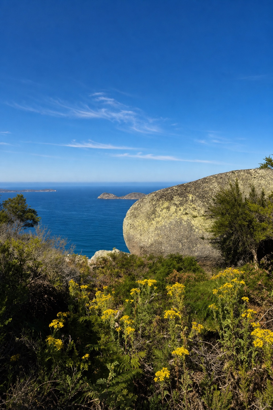 Sight · 1.9 km awayLookout RocksThe steep climb pays off with Norman Island and Tongue Point below.
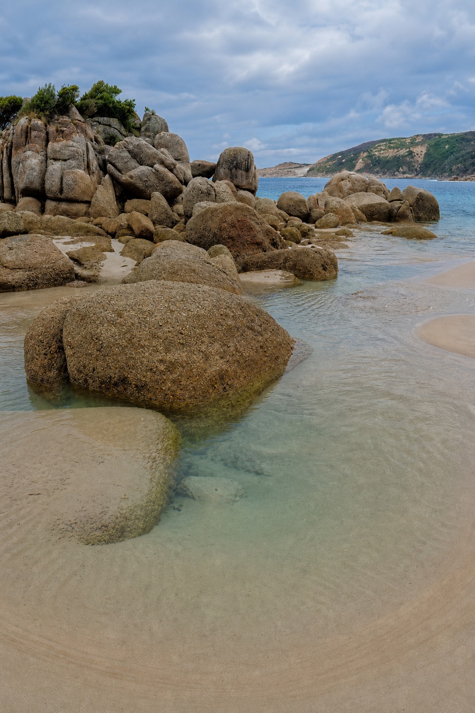 Beach · 1.9 km awayFairy CoveA tucked-away sand pocket framed by granite on the coastal walk.
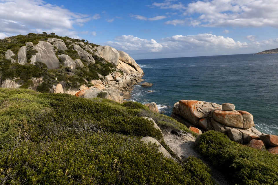 Sight · 2.7 km awaySparkes LookoutA forest climb to coastal views of Rodondo Island and Shallow Inlet.
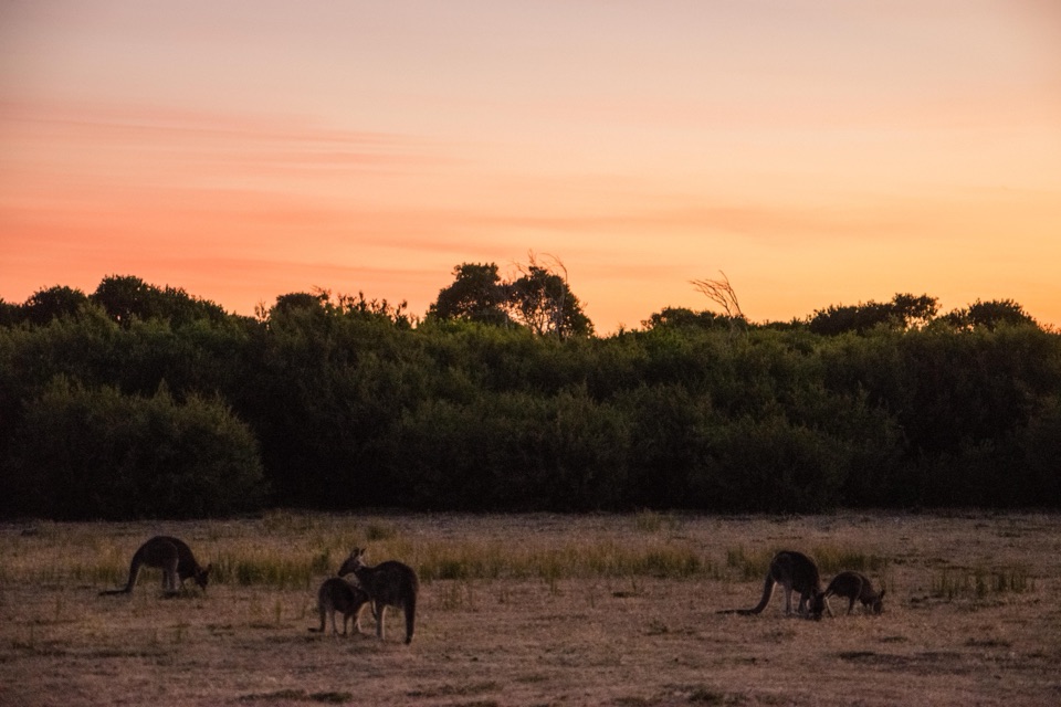 Sight · 2.9 km awayProm Wildlife Viewing AreaA roadside chance to spot kangaroos, wombats and emus.Sight · 2.9 km awayTongue PointWeathered granite tors reward the long coastal walk
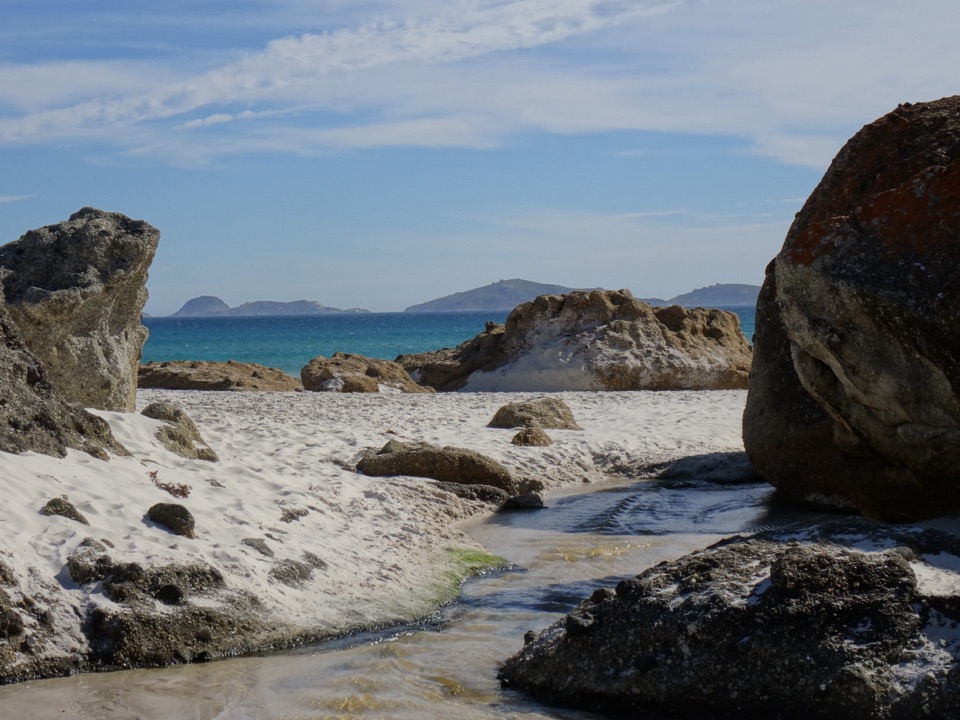 Beach · 4.2 km awayWhisky BayWalk through dunes to a beach framed by granite boulders.
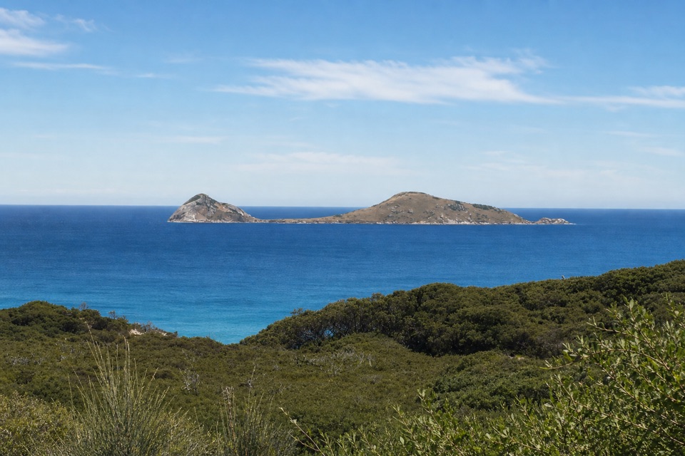 Sight · 4.8 km awayNorman LookoutIsland views without a hike on the way to Tidal River.
Parkwolf’s Wilsons Promontory ranking

The audio tour guide for the drive, plus offline maps, trails, and wildlife heatmaps for when the signal drops.