Parking
Start at Darby Saddle Carpark, separate from the Darby River car park for the other Tongue Point approach.
#7 of 36 trails in Wilsons Promontory
Wilsons Promontory National Park, VIC
A long coastal climb ending among Tongue Point’s weathered granite.
Overview
Tongue Point from Darby Saddle is an 11.2-kilometre return walk: the same 5.6-kilometre route out and back from an inland saddle to a rocky headland on Bass Strait. Allow about five hours for the return; the official time is 2.5 hours each way. It’s one of the park’s longer day walks and earns the commitment with two very different stretches: a forest climb, then a line of granite lookouts and a coastal finish. It’s a good choice if you want the full walk to Tongue Point from the saddle. If you’re deciding between approaches, the Darby River route is a separate 3.8-kilometre one-way walk to the same headland; it does not shorten this route unless you arrange transport between trailheads.
 Parkwolf’s verdictIs this the hike for you?
Map & elevation
Plan your hike

The highest, rockiest slopes around here are a summer buffet for grizzly bears.
Wilsons Promontory Tour Guide
Parkwolf is a GPS audio tour guide for Wilsons Promontory National Park. As you drive, it chimes in with what’s ahead: hidden gems, upcoming stops, history, geology, and wildlife, right through your car’s speakers.
Recorded for this trailhead
Sparkes Lookout from Darby Saddle“You're approaching Darby Saddle, where the walk to Sparkes Lookout begins. Allow one and a half to two hours for the roughly five-kilometre return through forest and uphill to the lookout.”
Plays as you drive up to this trailhead in the Parkwolf Wilsons Promontory Tour Guide.
More stories near here in the app
“Fantastic app with many points of information… It’s great to just turn on while you’re driving and it gives you an audio tour of the national Park. We love it!!!!”


Trail guide
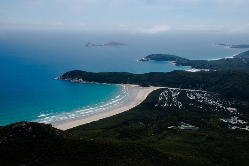
From Darby Saddle Carpark, the track climbs through stringybark and casuarina forest. The shade makes the first section feel enclosed, with the views opening in short patches rather than all at once. At about 2.1 kilometres, a 300-metre side track climbs to Sparkes Lookout. It’s the broadest early panorama, with Rodondo Island to the south and Shallow Inlet to the north. Return to the main track for the steep climb to Lookout Rocks, where views open toward Norman Island. These lookouts are worth a pause, but the steep sections mean this is not a casual stroll even before the coastal end.
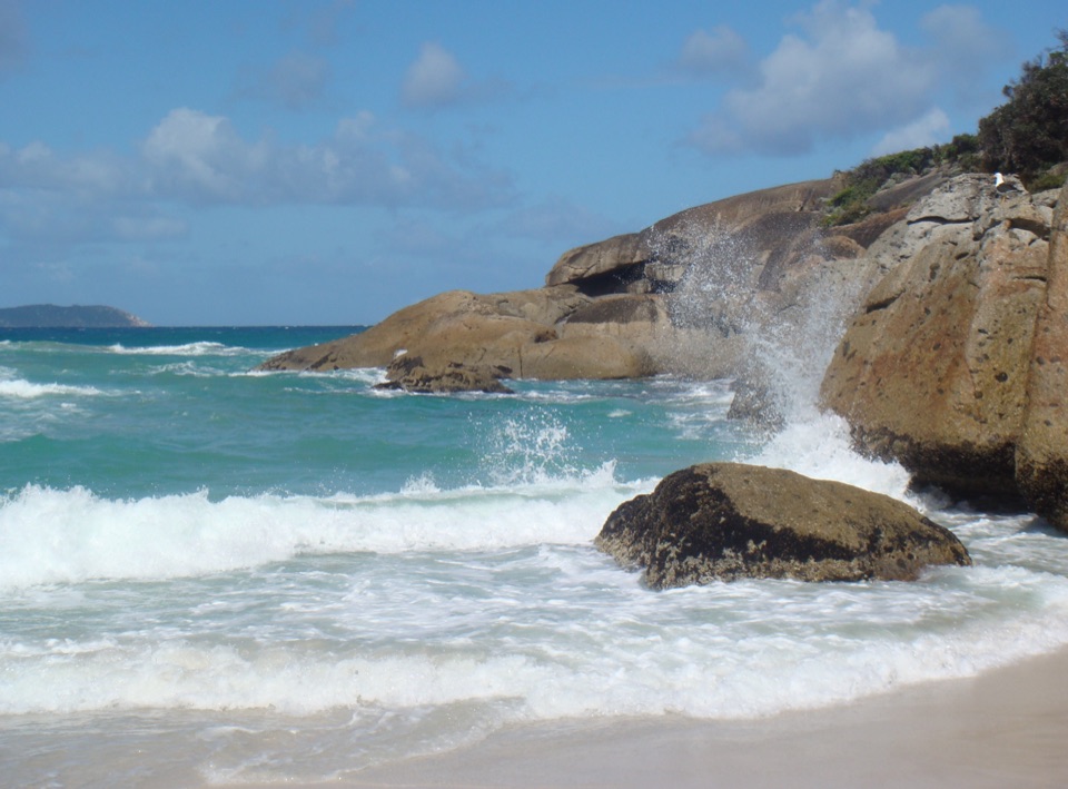
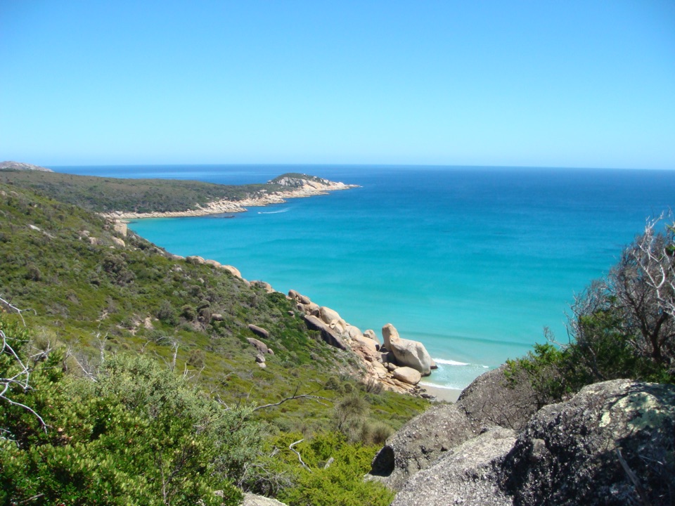
After Lookout Rocks, the route drops steeply through low coastal heath, then meets the path from Darby River near the Fairy Cove branch. Keep going to Tongue Point; the Darby Saddle route continues past that junction. The headland narrows into weathered granite, with boulder stacks, Bass Strait and Shellback and Norman Island in view. The track ends before a semi-attached island. Parks Victoria warns visitors not to cross to it, and unprotected cliffs make the last part a place to keep your attention on the ground as well as the view. For a photo, include granite in the foreground with open water behind it; that shows the shape of the point better than framing only the sea.
The steep climbs and descents come both ways, so save some energy for the route back to the saddle. Allow about five hours, plus time for the lookouts. Start at Darby Saddle Carpark, not Darby River car park, which serves the separate approach. The visitor map marks parking at the saddle, but research did not verify toilets, drinking water or food there or along the track. Dogs are prohibited in Wilsons Promontory National Park. The route is steep and uneven, and the coastal headland has unstable, unprotected edges. Keep back from the cliffs and do not cross to the island.
Wildlife
 18 sightingsWedge-tailed EagleMost seen around 11 AMSighting map
 29 sightingsKoalaMost seen around 6 PMSighting map
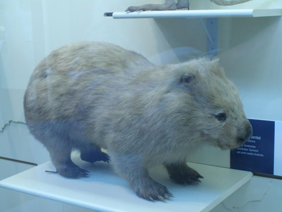 774 sightingsBare-nosed WombatMost seen around 6 PMSighting map
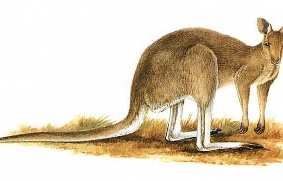 291 sightingsEastern Grey KangarooMost seen around 7 AMSighting map
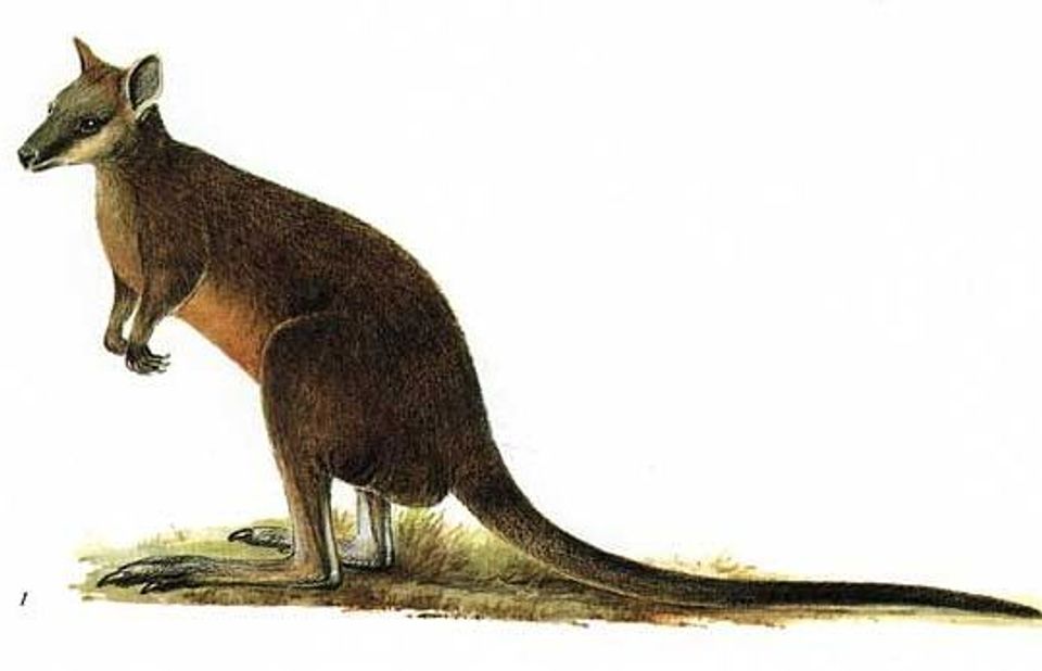 512 sightingsSwamp WallabyMost seen around 6 PMSighting map
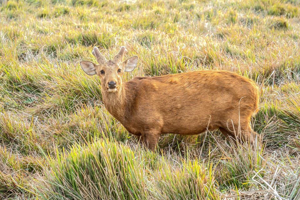 20 sightingsIndochinese Hog DeerMost seen around 7 AMSighting map
Sighting maps show where each species has been reported across Wilsons Promontory. Wildlife moves, so no sighting is guaranteed.
Keep exploring
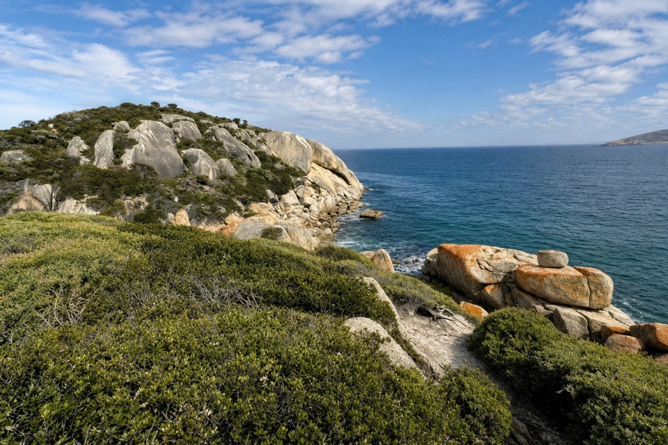 ModerateDarby Saddle to Sparkes Lookout Walk4.8 km · 1.8 hr · At the trailheadA broad coastal view before the longer Tongue Point walk.
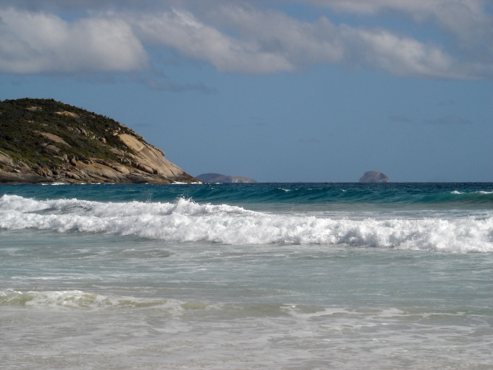 ModeratePicnic Bay Walk3.3 km · 1.5 hr · 2.3 km awayRock pools and granite headlands on a short coastal return.
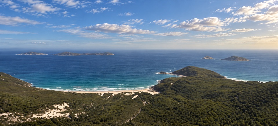 ModerateMount Bishop Summit Walk7.4 km · 2.5 hr · 2.9 km awayGranite summit rocks frame a broad view over beaches and islands.
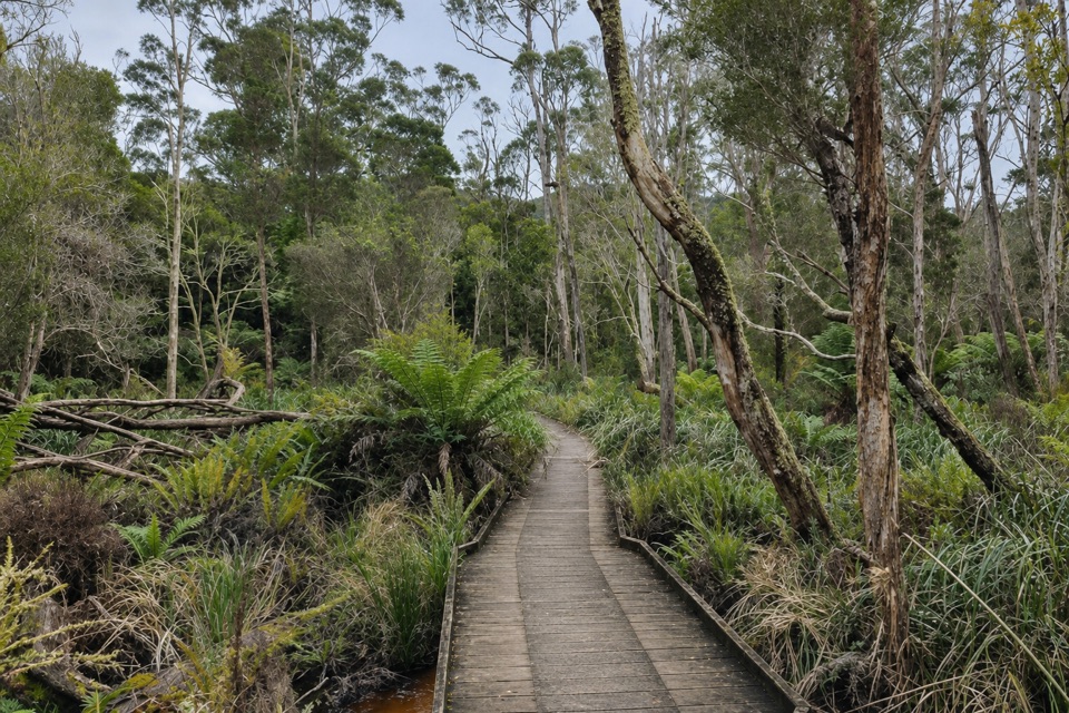 ModerateLilly Pilly Gully Circuit Walk5.8 km · 2 hr · 2.9 km awayA forest loop that trades stringybark slopes for rainforest.
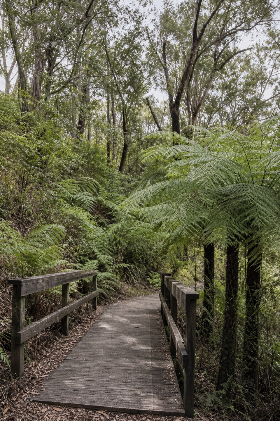 EasyLilly Pilly Gully Nature Walk5.2 km · 1.5 hr · 2.9 km awayA shady boardwalk stroll into the Prom's rainforest interior.
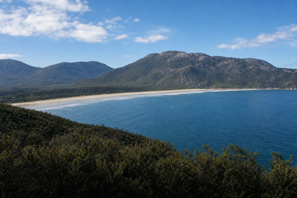 ModerateTidal Overlook Circuit3.8 km · 1.5 hr · 3.4 km awayA 3.8 km loop to broad coastal views above Norman Bay.
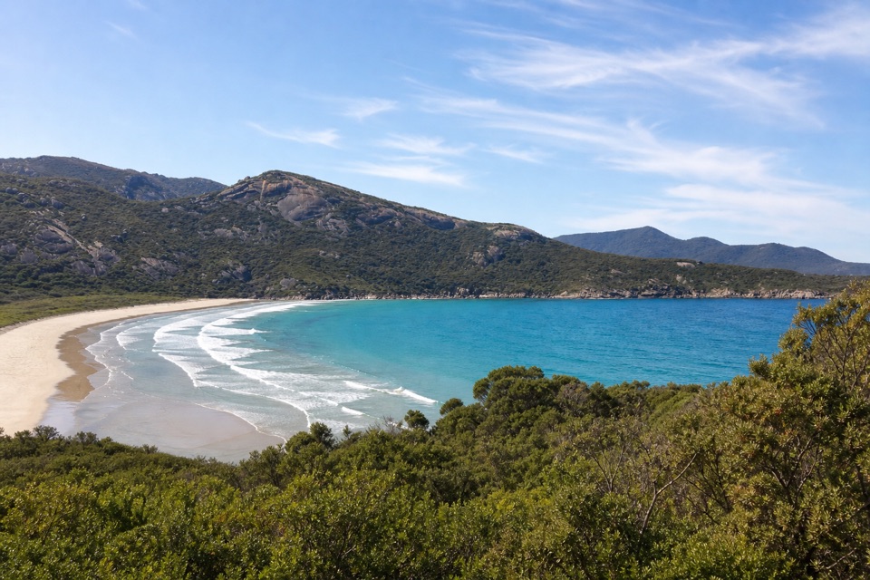 EasyLilly Pilly Link Walk1 km · 20 min · 3.4 km awayA short coastal-heath link with Norman Bay views
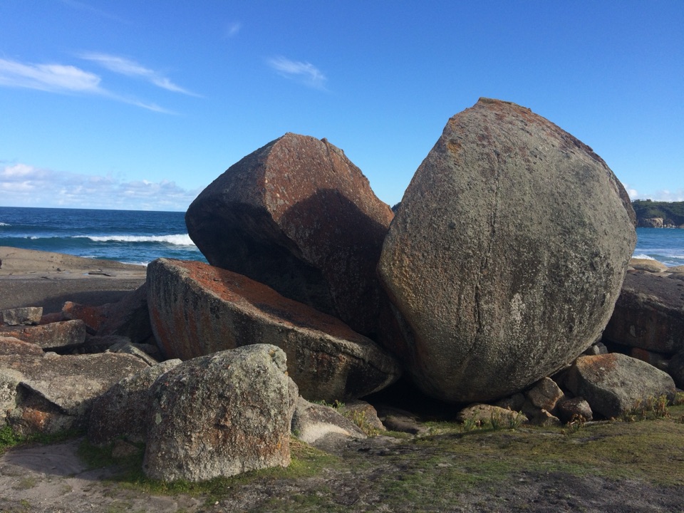 ModerateSqueaky Beach Walk4.2 km · 1.5 hr · 3.4 km awayA headland climb to squeaking sand and granite boulders.
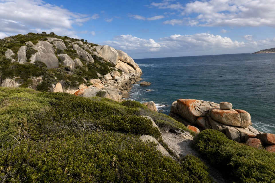 Sight · 1.4 km awaySparkes LookoutA forest climb to coastal views of Rodondo Island and Shallow Inlet.
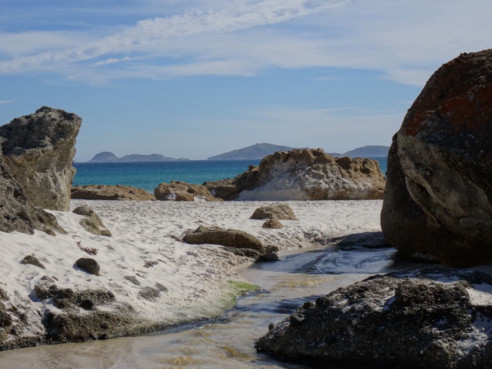 Beach · 1.6 km awayWhisky BayWalk through dunes to a beach framed by granite boulders.
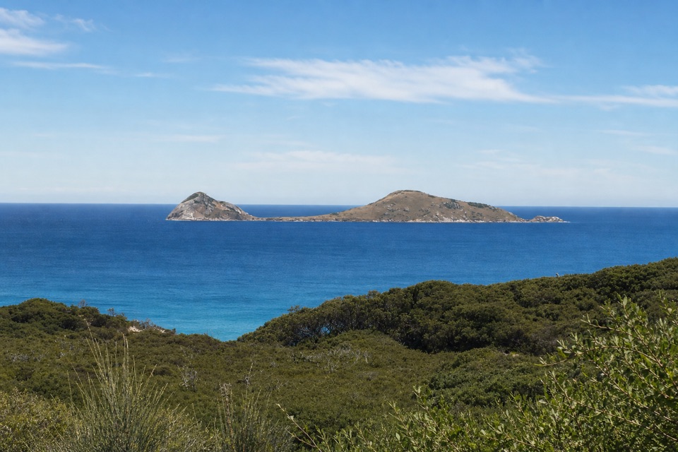 Sight · 1.6 km awayNorman LookoutIsland views without a hike on the way to Tidal River.
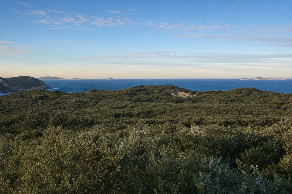 Sight · 1.7 km awayGlennie LookoutA roadside pause for rugged coast and the offshore islands.Beach · 1.9 km awayPicnic BayA short, steep path drops to tide pools and an island-view lookout.
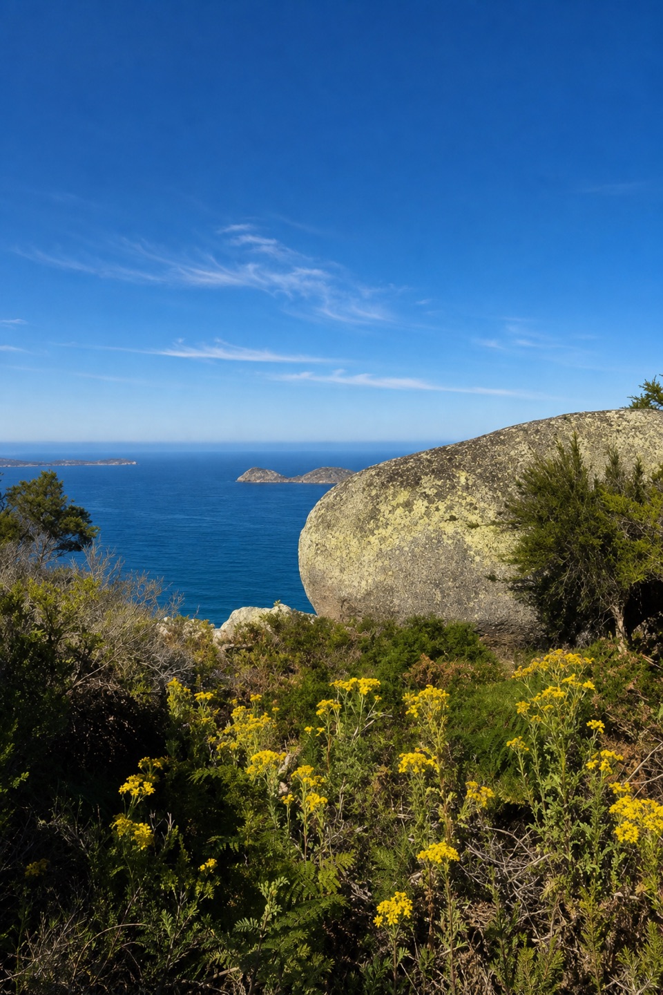 Sight · 2.1 km awayLookout RocksThe steep climb pays off with Norman Island and Tongue Point below.
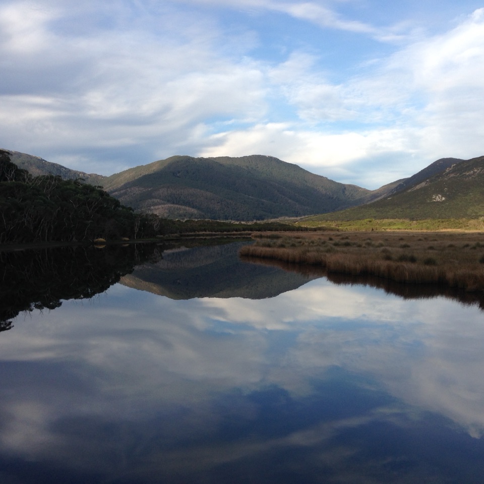 Sight · 2.4 km awayMount BishopA rocky summit, with Squeaky Beach and islands spread below.Beach · 2.7 km awaySqueaky BeachA squeaking quartz shore, hemmed in by granite boulders.
Parkwolf’s Wilsons Promontory ranking
The audio tour guide for the drive, plus offline maps, trails, and wildlife heatmaps for when the signal drops.