Lookout Rocks in Wilsons Promontory National Park

Sight · Wilsons Promontory National Park

Lookout Rocks

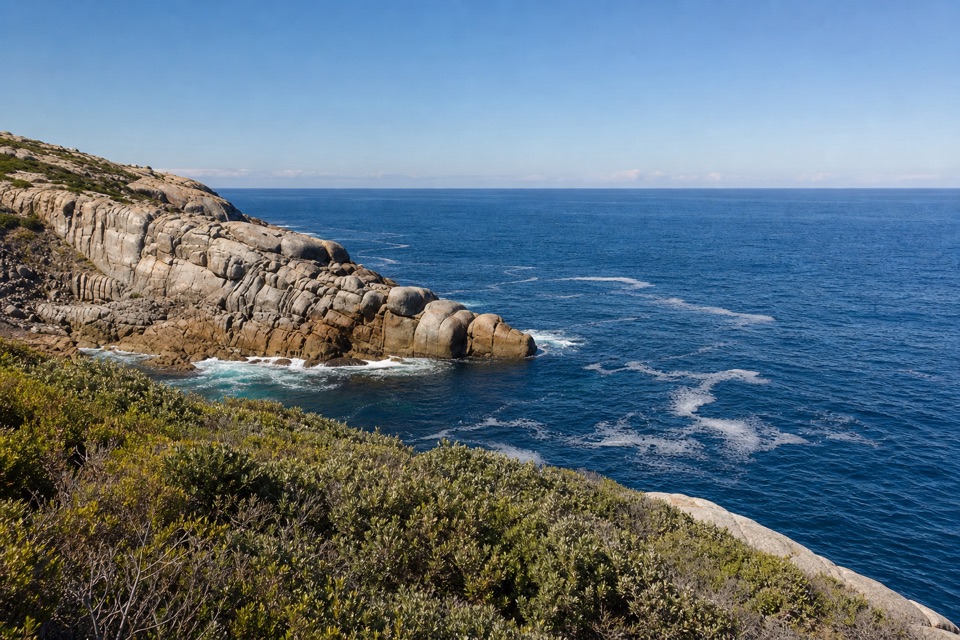
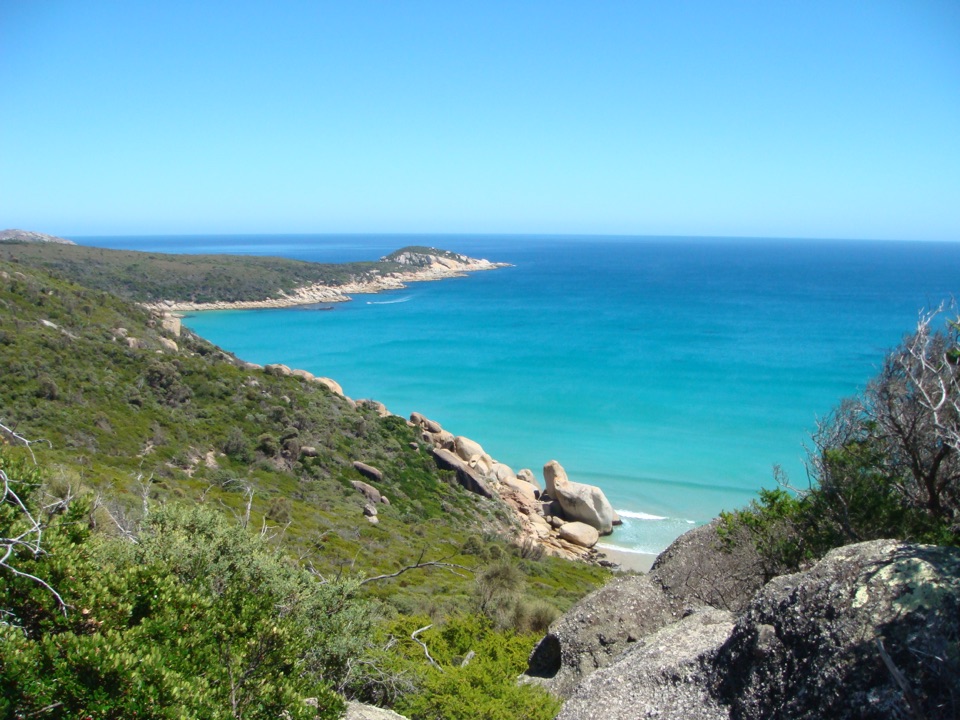
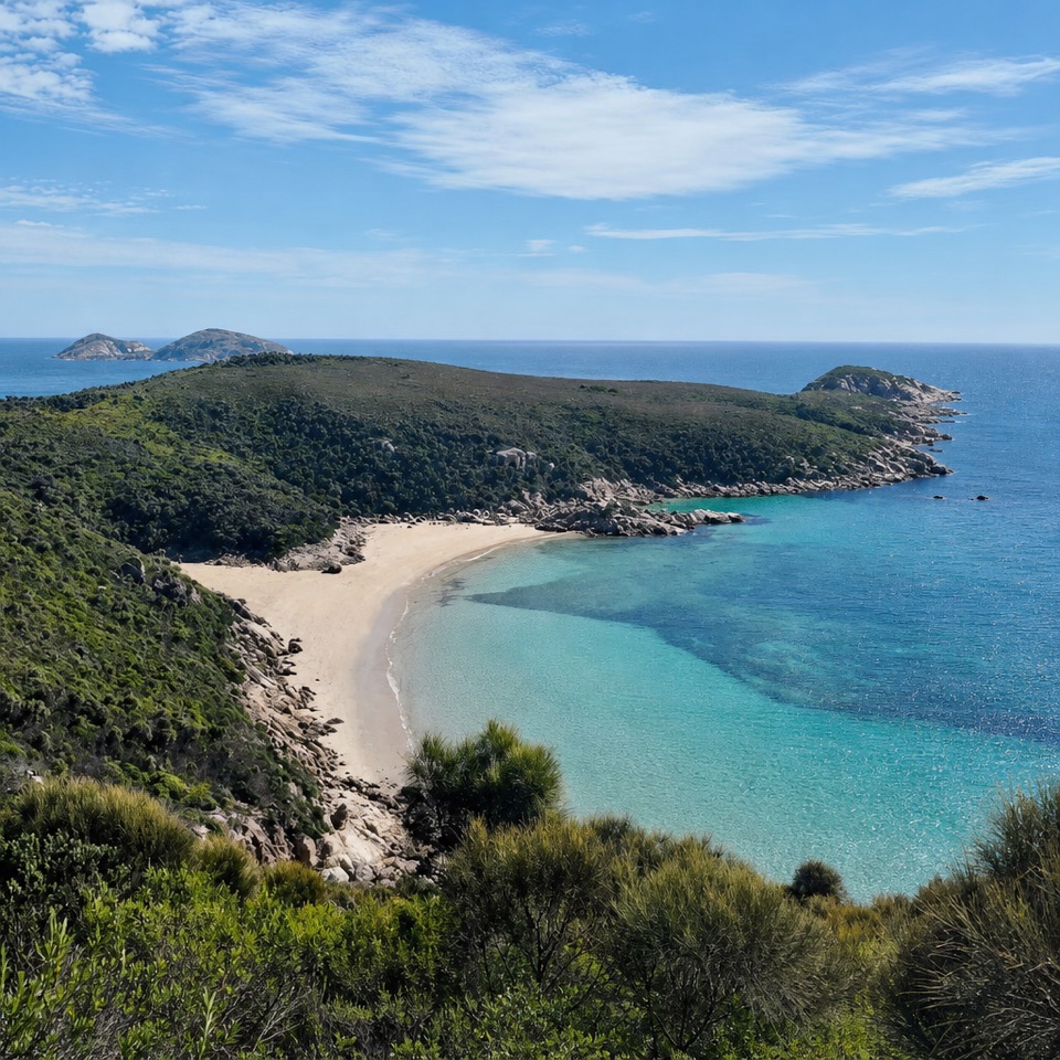
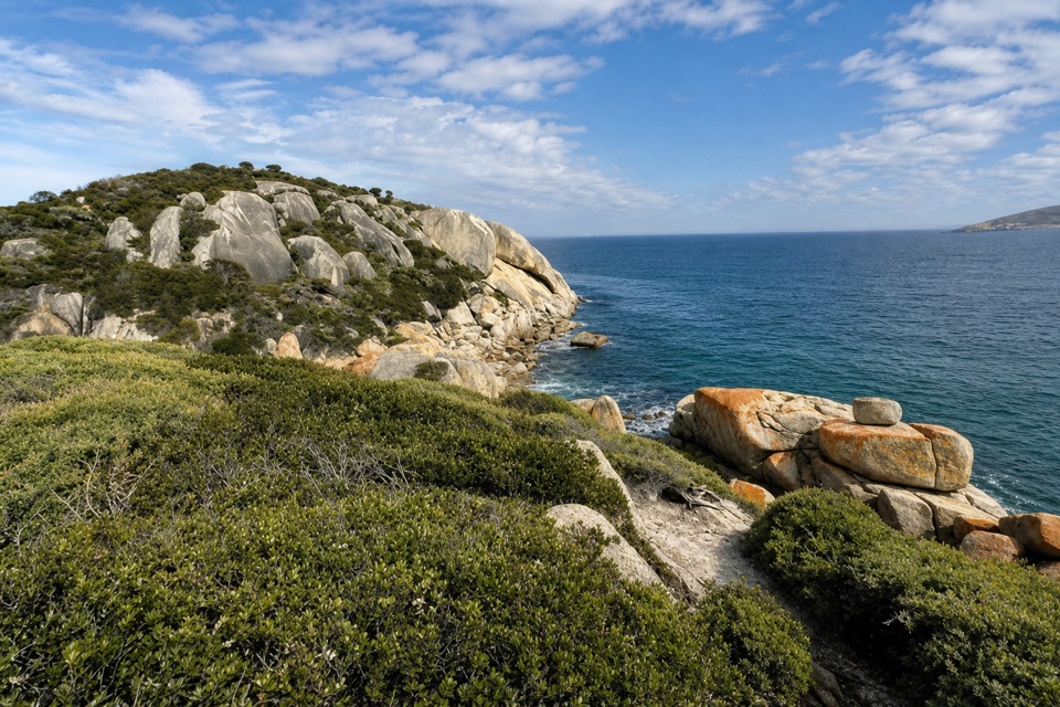
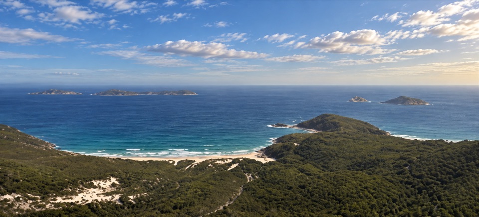
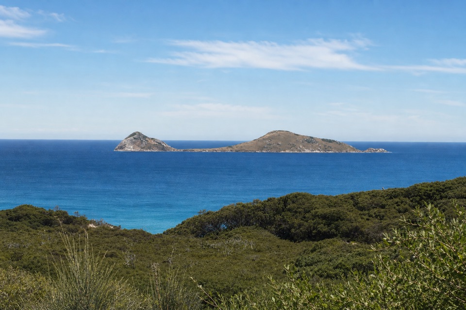
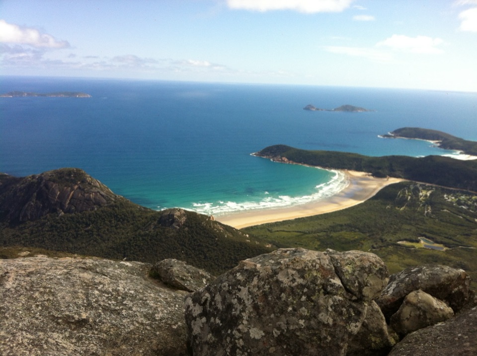
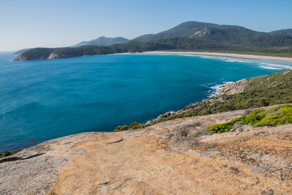
The steep climb pays off with Norman Island and Tongue Point below.

Type
Sight
Nearest trail
1.9 km
Audio stories
6 nearby
  • Scenic viewpoint

Hear the audio tour

Sparkes Lookout from Darby Saddle

Overview

About Lookout Rocks

Why stop

  • Views across to Norman Island and Tongue Point

Heads up

  • A steep climb on the longer coastal walk
Lookout Rocks is a rocky vantage point on the Darby Saddle–Tongue Point track, with a view across to Norman Island. The route climbs steeply after the Sparkes Lookout side-track, then drops through low heath toward Tongue Point. This is a stop for walkers already committed to that coastal track, not a roadside lookout.
Parkwolf’s verdictThe payoff is the island view

Map

Where it is

Loading the Wilsons Promontory map
Full map
SightLookout Rocks-38.99260, 146.27929
Keep this map with you offline in the Parkwolf app

Plan your stop

Before you go

2 active Wilsons Promontory alerts

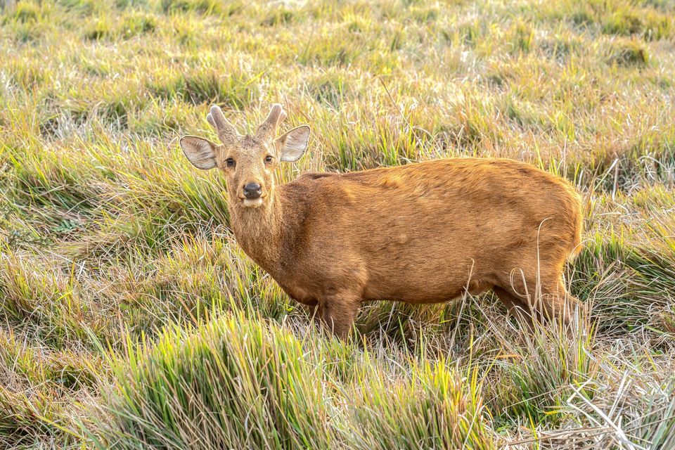
  • ClosureSouthern area closures and October deer-control restrictionsDo not enter the listed southern visitor areas during their closures, and plan around the October aerial deer-control operation.Official details
  • InfoEntrance traffic management and delaysAllow extra travel time and follow traffic controls at the Wilsons Promontory National Park entrance.Official details

Wilsons Promontory alerts
A park ranger sits on a dash-mounted phone, talking, as Parkwolf’s Tour Guide plays “Army Cutworm Moths: A Grizzly Bear Buffet” on Grand Loop Road below Dunraven Pass in Yellowstone
Parkwolf Tour GuideThe highest, rockiest slopes around here are a summer buffet for grizzly bears.

Wilsons Promontory Tour Guide

Your drive to Lookout Rocks, narrated.

Parkwolf is a GPS audio tour guide for Wilsons Promontory National Park. As you drive, it chimes in with what’s ahead: hidden gems, upcoming stops, history, geology, and wildlife, right through your car’s speakers.

Recorded for this place

Sparkes Lookout from Darby Saddle
0:00 / 0:24
“You're approaching Darby Saddle, where the walk to Sparkes Lookout begins. Allow one and a half to two hours for the roughly five-kilometre return through forest and uphill to the lookout.”

Plays as you drive up to Lookout Rocks in the Parkwolf Wilsons Promontory Tour Guide.

More stories near here in the app

  • The Plover's Bare Sand Nest
  • Darby River Walks to Tongue Point
  • Whisky Bay and Its Granite Headlands
  • Picnic Bay Rock Pools
  • 22 audio storiesacross Wilsons Promontory’s roads, triggered by GPS as you drive
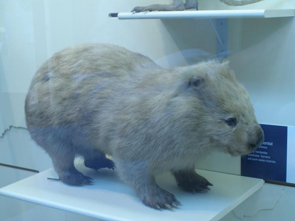
  • Wildlife heatmapsfor Wedge-tailed Eagle, Koala, Bare-nosed Wombat, and 13 more
  • Works offlinemaps, 36 trails, 46 places, and audio download before you lose signal
  • CarPlay readysimple controls built for the drive
★★★★★
“Fantastic app with many points of information… It’s great to just turn on while you’re driving and it gives you an audio tour of the national Park. We love it!!!!”
JMJamesApp Store review
Download Parkwolf on the App StoreGet Parkwolf on Google Play

4.7 from 8,600+ ratings

Guide

More about Lookout Rocks

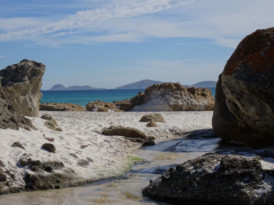
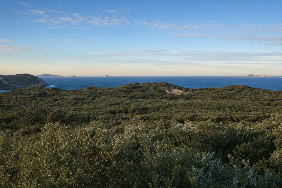
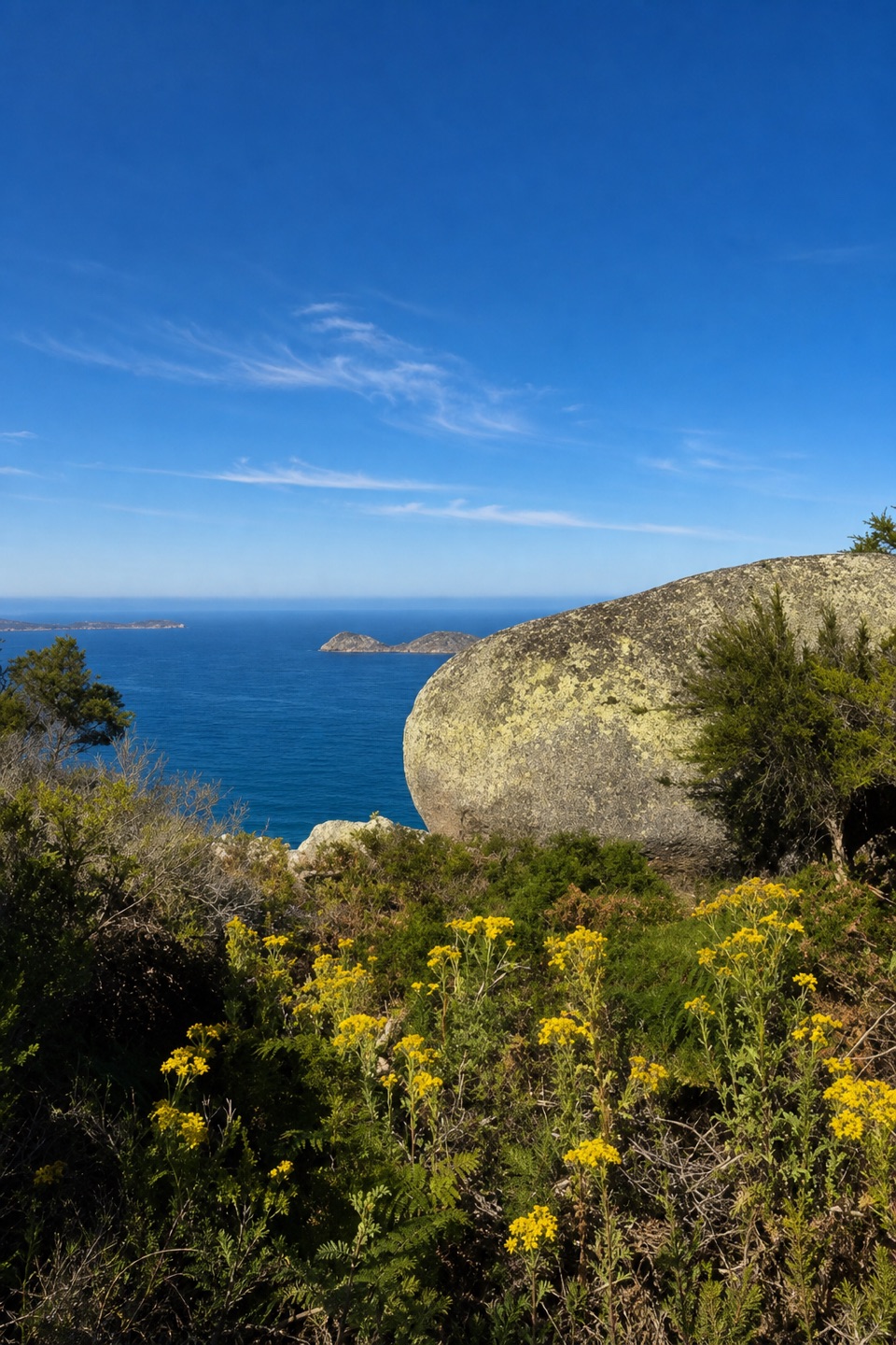
Look out to seaFrom the rocks, offshore islands and Tongue Point sit below against the water.

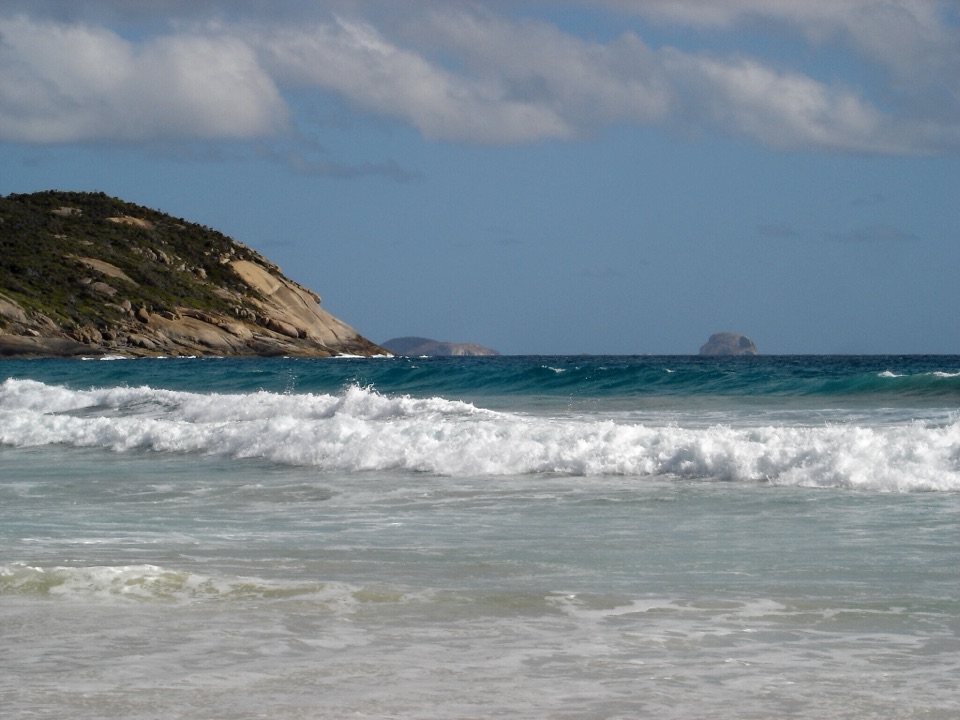
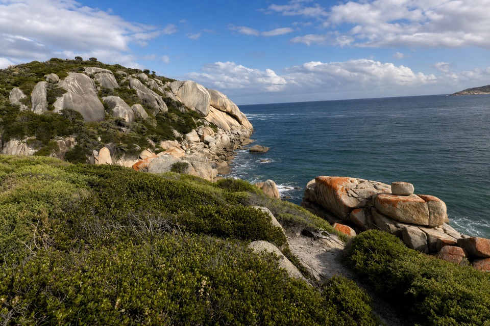
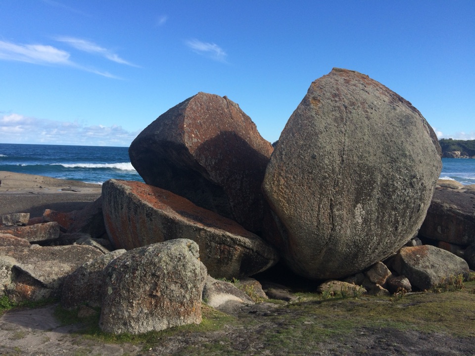
From the rocks, offshore islands and Tongue Point sit below against the water. The approach starts under stringybark and casuarina before opening into low coastal heath, so the view arrives after a shift from forest to open scrub. For a photo, keep a little granite in front of the sea and include Norman Island beyond it; that foreground makes the view feel like this lookout rather than a generic seascape.

Make the route workThe full Darby Saddle–Tongue Point walk is 5.6 km and about 2.

The full Darby Saddle–Tongue Point walk is 5.6 km and about 2.5 hours one way, graded moderate to hard; those figures cover the route to Tongue Point, not only the climb to Lookout Rocks. The onward path descends steeply and ends before the semi-attached island at Tongue Point. Don't try to cross to the island.

Wildlife

Wildlife in Wilsons Promontory

All Wilsons Promontory wildlife maps

Sighting maps show where each species has been reported across Wilsons Promontory. Wildlife moves, so no sighting is guaranteed.

Keep exploring

Near Lookout Rocks

See it all on the map

Trails nearby

More stops nearby

Parkwolf’s Wilsons Promontory ranking

Top sights in Wilsons Promontory

All 46 places
  1. 1Squeaky BeachBeach
  2. 2Mount OberonSight
  3. 3Norman BeachBeach
  4. 4Big DriftSight
  5. 5Wilsons Promontory LightstationSight
  6. 6Whisky BayBeach

Take Parkwolf to Wilsons Promontory.

The audio tour guide for the drive, plus offline maps, trails, and wildlife heatmaps for when the signal drops.

4.7 from 8,600+ ratings

Download Parkwolf on the App StoreGet Parkwolf on Google Play