Parking
Start at Darby River Carpark, the signed access for this walk. Toilets are available at the carpark.
Wilsons Promontory National Park, VIC
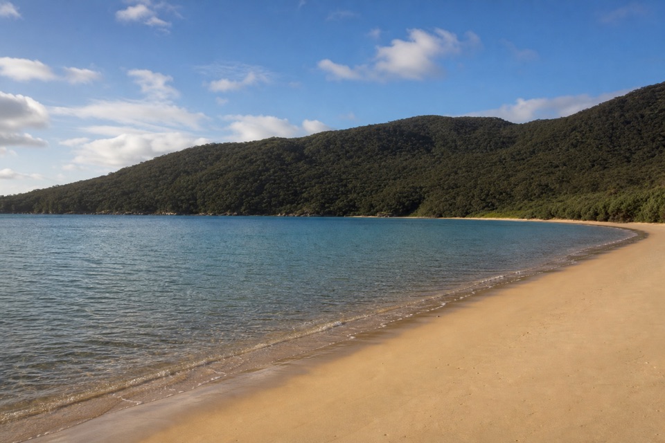
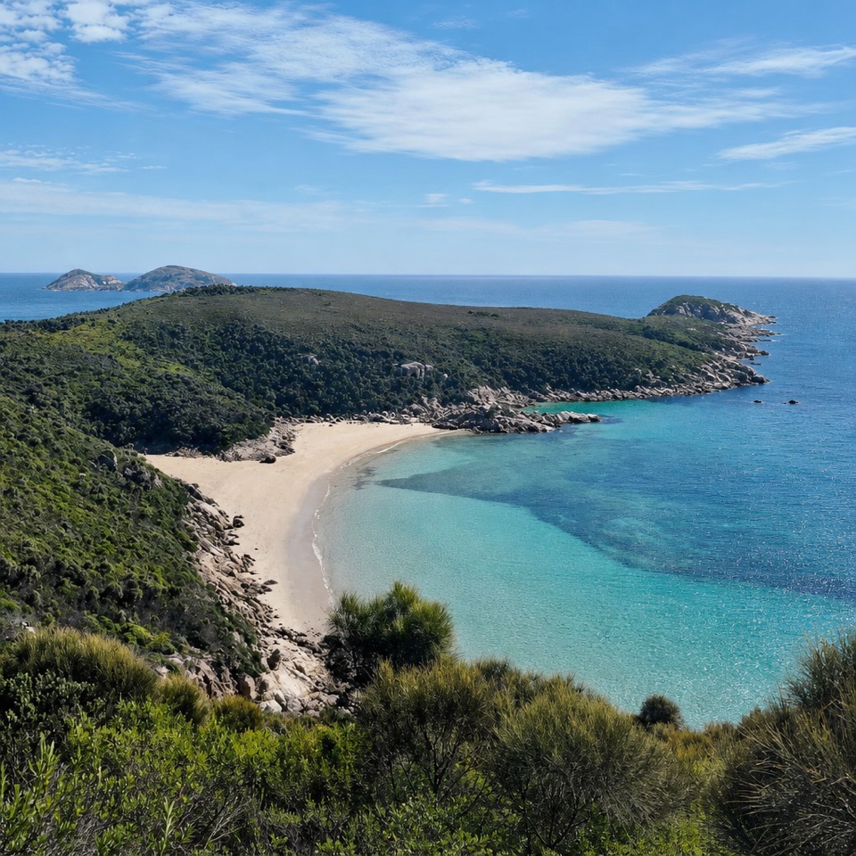
A quiet cove worth timing your walk around low tide.
Overview
Map & elevation
Plan your hike

The highest, rockiest slopes around here are a summer buffet for grizzly bears.
Wilsons Promontory Tour Guide
Parkwolf is a GPS audio tour guide for Wilsons Promontory National Park. As you drive, it chimes in with what’s ahead: hidden gems, upcoming stops, history, geology, and wildlife, right through your car’s speakers.
Recorded for this trailhead
Darby River Walks to Tongue Point“You're approaching Darby River Carpark, where the Tongue Point walk crosses an old sand dune before heading toward granite sea cliffs. It's 7.”
Plays as you drive up to this trailhead in the Parkwolf Wilsons Promontory Tour Guide.
More stories near here in the app
“Fantastic app with many points of information… It’s great to just turn on while you’re driving and it gives you an audio tour of the national Park. We love it!!!!”


Trail guide
Darby River to Fairy Cove is a 3.5-mile out-and-back from Darby River Carpark, following a coastal track and a steep stepped spur to the beach. Allow about two hours for the return, plus any time spent at the cove. The main track climbs through windswept coastal vegetation, opening onto broad views over Darby Swamp toward Vereker Range. At roughly 1.5 miles, turn onto the side track and descend the steps to the shore. The distance includes this spur and the walk back to the same carpark. The main path continues toward Tongue Point, but that longer headland route is a separate outing.
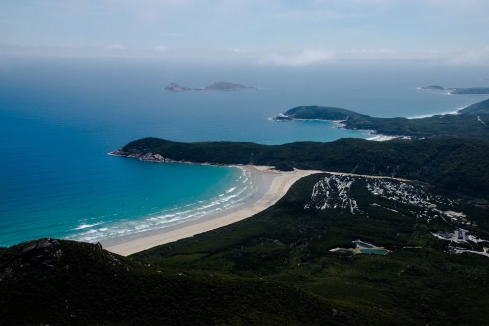
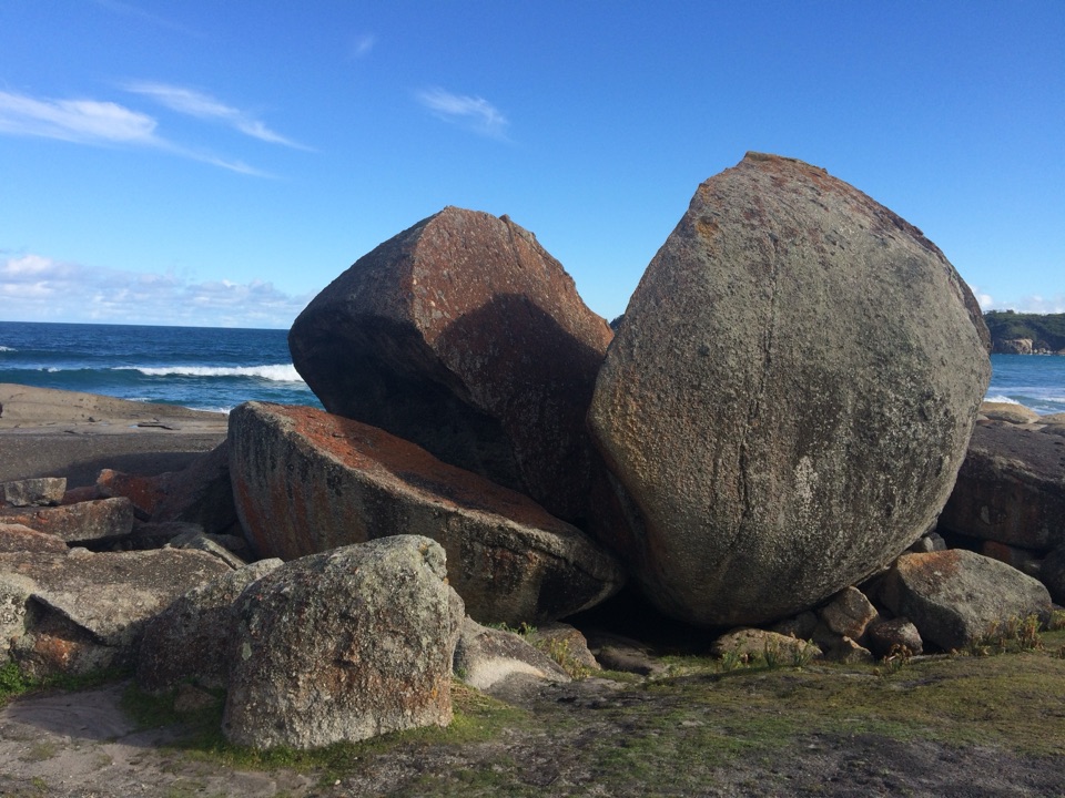
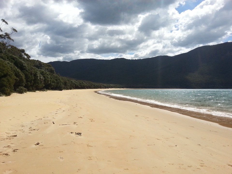
Fairy Cove is a small pale beach tucked under coastal scrub, with granite boulders around the shoreline and blue-green water beyond. The steep steps are the crux: take them slowly, especially on the return climb. Parks Victoria says beach access is at low tide; high water can make the shore inaccessible, so time your arrival and departure around the tide. Rough surf and the unpatrolled beach make this a poor place to count on a swim. For a photo, use the pale curve of sand against the green headland and water; a frame filled only with sea misses the cove's shape.
Expect uneven ground and slippery rocks along the coast, with exposed drops and no mobile reception. It is a solid moderate walk, mainly for the distance, approach climb and steep steps rather than technical scrambling. Begin at Darby River Carpark, where toilets are available. Dogs are prohibited in the park.
Wildlife
 18 sightingsWedge-tailed EagleMost seen around 11 AMSighting map
 29 sightingsKoalaMost seen around 6 PMSighting map
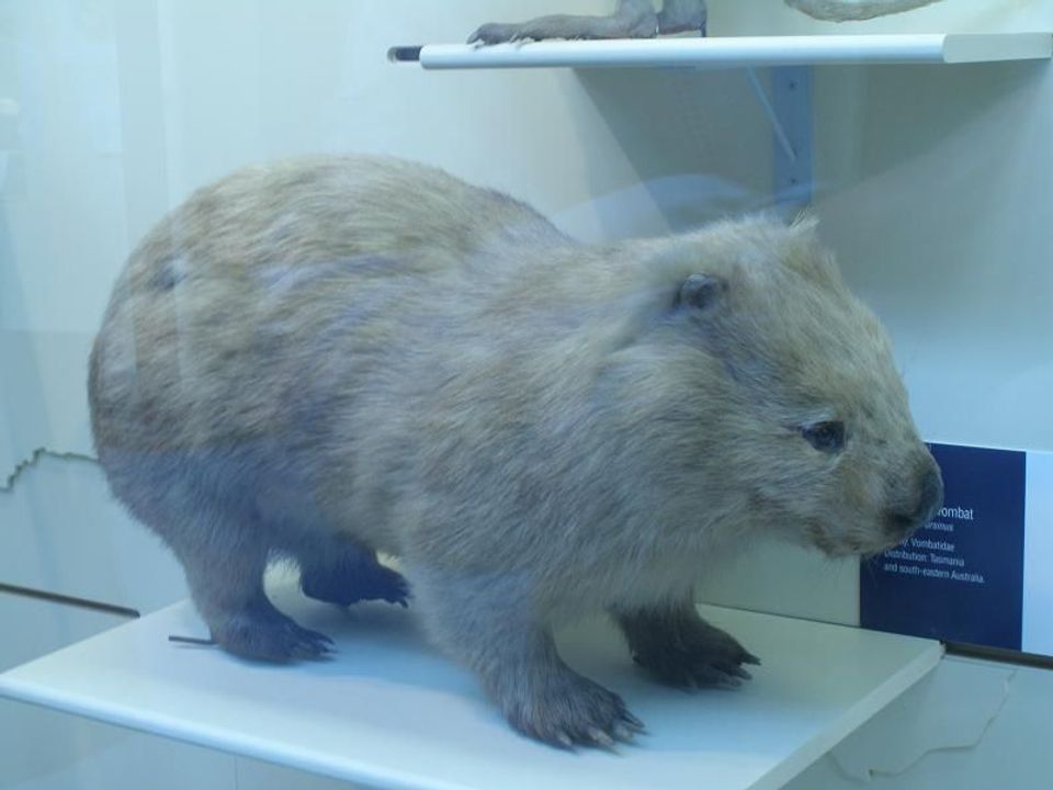 774 sightingsBare-nosed WombatMost seen around 6 PMSighting map
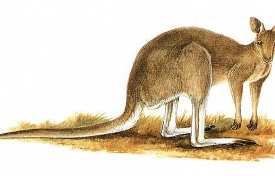 291 sightingsEastern Grey KangarooMost seen around 7 AMSighting map
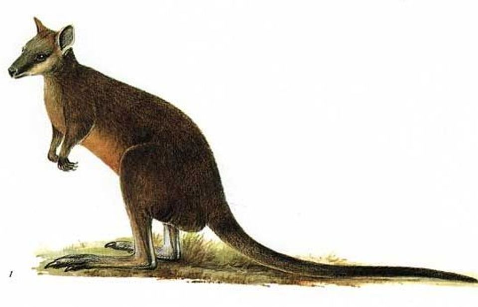 512 sightingsSwamp WallabyMost seen around 6 PMSighting map
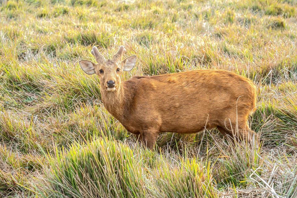 20 sightingsIndochinese Hog DeerMost seen around 7 AMSighting map
Sighting maps show where each species has been reported across Wilsons Promontory. Wildlife moves, so no sighting is guaranteed.
Keep exploring
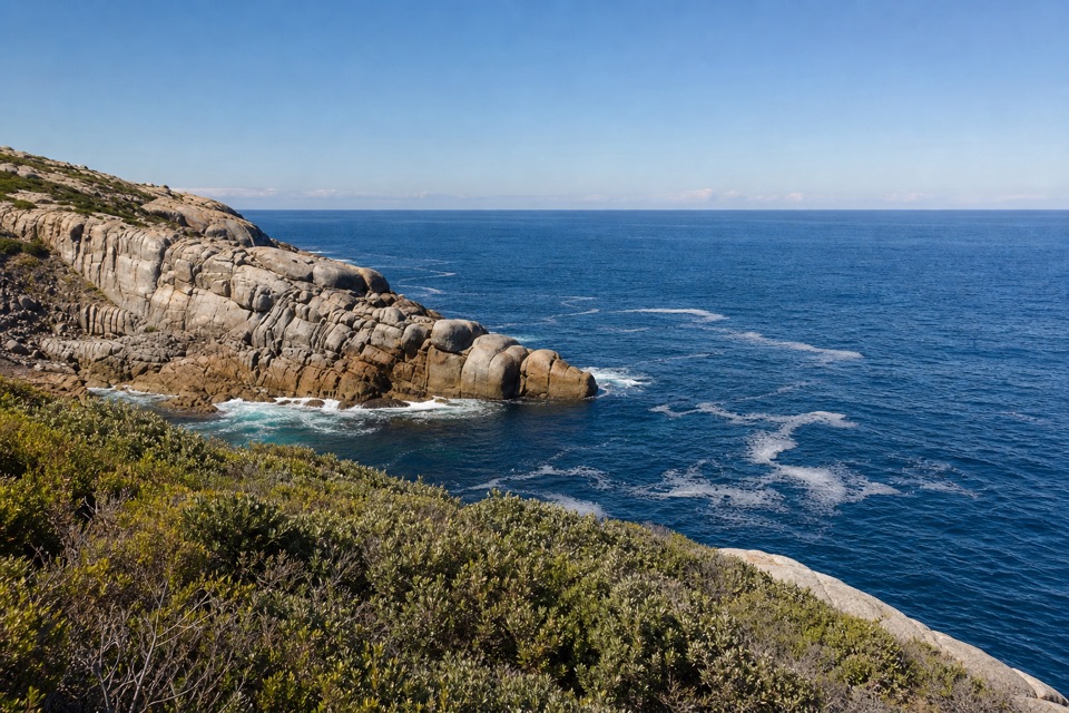 ModerateDarby River to Tongue Point Walk7.6 km · 4 hr · At the trailheadA granite headland hike with a Fairy Cove spur at low tide.
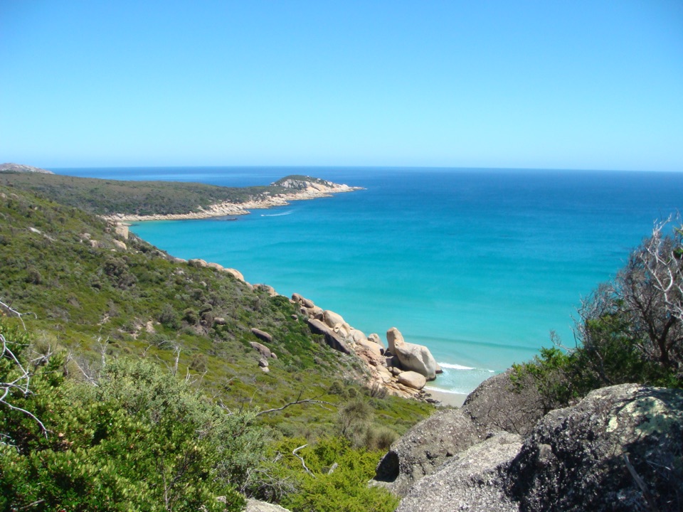 ChallengingDarby River to Darby Saddle via Tongue Point9.4 km · 4.5 hr · At the trailheadA coastal through-walk from Darby River to Darby Saddle.
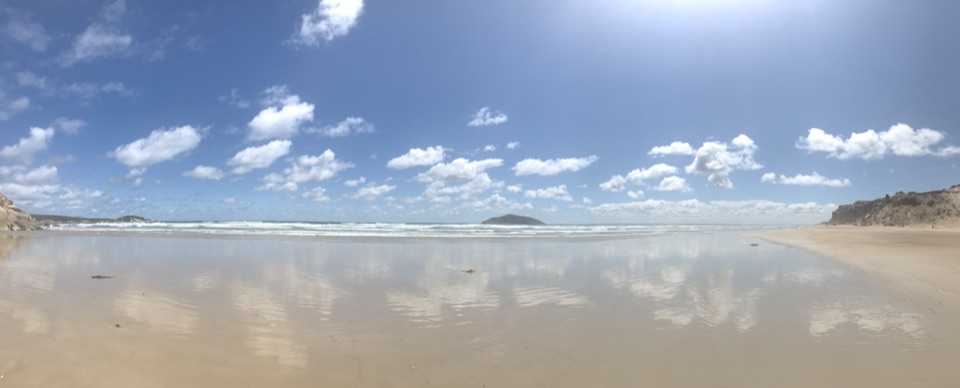 EasyDarby Beach Walk2.2 km · 40 min · At the trailheadA sandy river walk to a small beach between rocky headlands.ModerateTongue Point from Darby Saddle11.2 km · 5 hr · 3.6 km awayA long coastal climb ending among Tongue Point’s weathered granite.
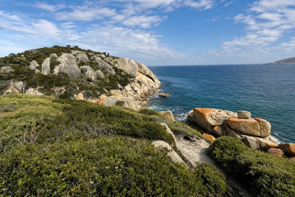 ModerateDarby Saddle to Sparkes Lookout Walk4.8 km · 1.8 hr · 3.6 km awayA broad coastal view before the longer Tongue Point walk.
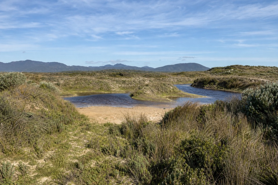 EasyCotters Lake and Beach Access Track2.4 km · 1 hr · 4.5 km awayCross the often-dry lake basin to a remote, windswept beach.
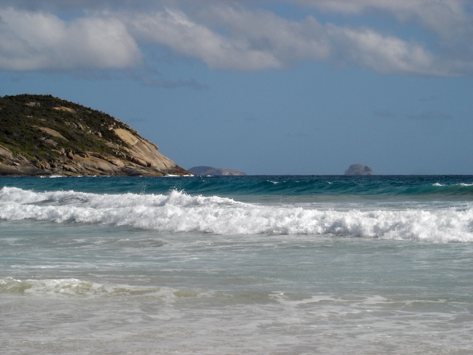 ModeratePicnic Bay Walk3.3 km · 1.5 hr · 5.7 km awayRock pools and granite headlands on a short coastal return.
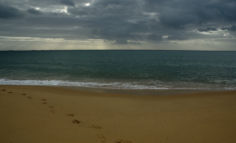 ChallengingFive Mile Beach Walk36.9 km · 12 hr · 6.4 km awayA long, exposed road march to a remote northern beach.Beach · 0.6 km awayDarby BeachA short sandy walk opens onto a beach between rocky headlands.
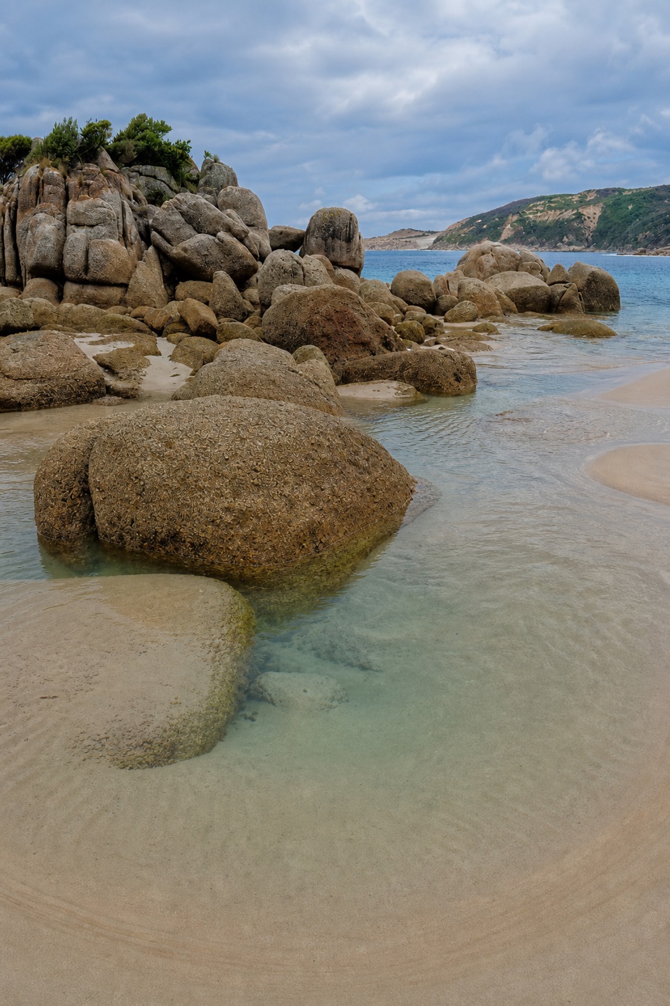 Beach · 1.9 km awayFairy CoveA tucked-away sand pocket framed by granite on the coastal walk.
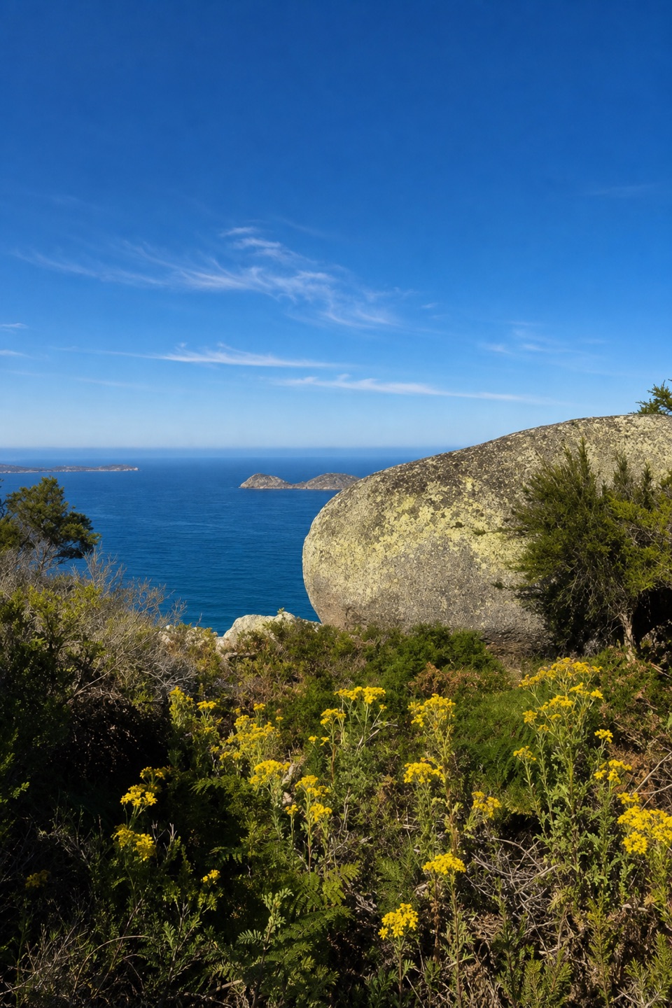 Sight · 1.9 km awayLookout RocksThe steep climb pays off with Norman Island and Tongue Point below.
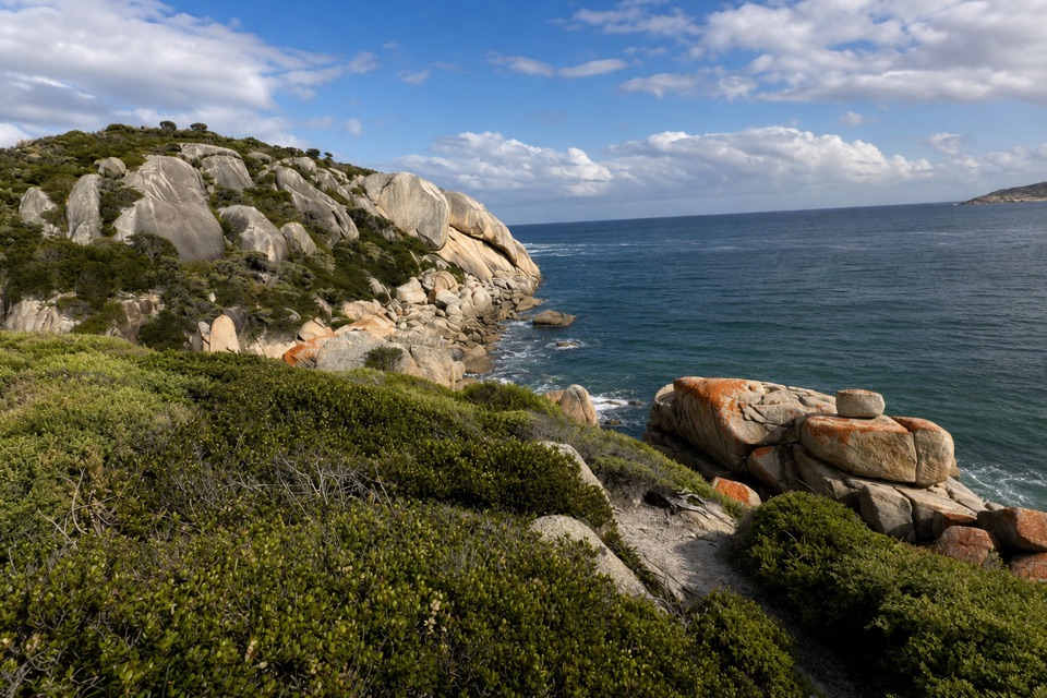 Sight · 2.7 km awaySparkes LookoutA forest climb to coastal views of Rodondo Island and Shallow Inlet.Sight · 2.9 km awayTongue PointWeathered granite tors reward the long coastal walk
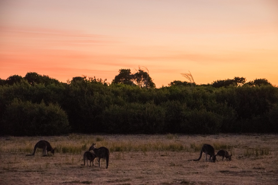 Sight · 2.9 km awayProm Wildlife Viewing AreaA roadside chance to spot kangaroos, wombats and emus.
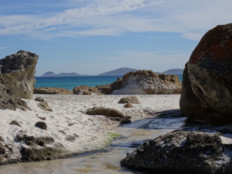 Beach · 4.3 km awayWhisky BayWalk through dunes to a beach framed by granite boulders.Beach · 4.8 km awayPicnic BayA short, steep path drops to tide pools and an island-view lookout.
Parkwolf’s Wilsons Promontory ranking

The audio tour guide for the drive, plus offline maps, trails, and wildlife heatmaps for when the signal drops.