1 active Wilsons Promontory alert
- ClosureStockyard and Big Drift closuresBig Drift Walk, Stockyard car park, Stockyard Campground and the Stockyard Toilet Block are closed.Official details
Campground · Wilsons Promontory National Park
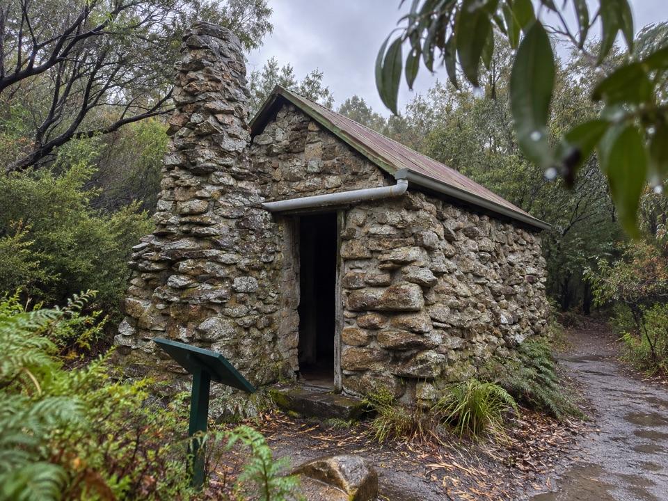
A quiet bush camp beside a hut built for telegraph linesmen.
Overview
Map
Plan your stop

The highest, rockiest slopes around here are a summer buffet for grizzly bears.
Wilsons Promontory Tour Guide
Parkwolf is a GPS audio tour guide for Wilsons Promontory National Park. As you drive, it chimes in with what’s ahead: hidden gems, upcoming stops, history, geology, and wildlife, right through your car’s speakers.
More stories near here in the app
“Fantastic app with many points of information… It’s great to just turn on while you’re driving and it gives you an audio tour of the national Park. We love it!!!!”


Guide
Halfway Hut Hike-in Camping Area is a small bush campsite on the Telegraph Track in the remote southern Prom. The historic hut stands beside the camp under a shady woodland canopy. Come for a quiet break or overnight stop on a longer walk, and to see a tangible piece of the Prom’s old communications route.
Halfway Hut was built to store supplies and shelter telegraph linesmen, who patrolled the line on horseback between the lighthouse and the settlement on the isthmus. It gives this quiet clearing a story you can see on the ground. Allow a little time to look around the hut as you pass; the campsite itself is a modest rest point surrounded by forest.
Reach the campsite on foot via Telegraph Track. Overnight hikers need a booking before setting out and must carry it with them. The camp has composting toilets and a water tank; treat the water before drinking and carry a backup because the tank may run dry at busy times. On one route, Telegraph Junction is 6.1 km from Telegraph Saddle, followed by a 1.4 km each-way spur to the hut; your distance depends on your approach. Fees apply. Pets, fires, bicycles, horses, generators and firearms are prohibited; assistance dogs are welcome subject to entry requirements.
Wildlife
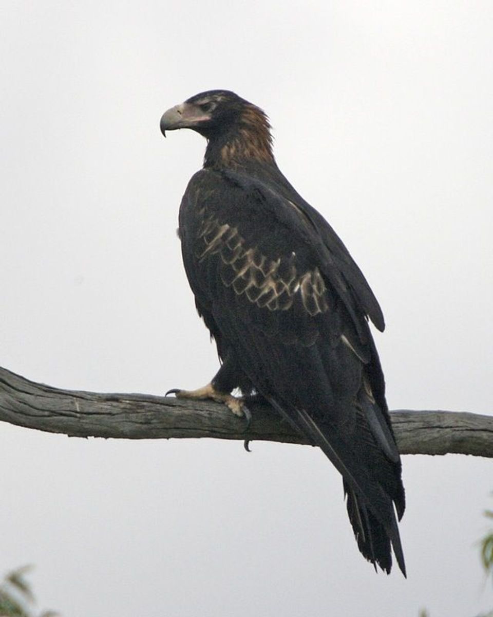 19 sightingsWedge-tailed EagleMost seen around 11 AMSighting map
 30 sightingsKoalaMost seen around 6 PMSighting map
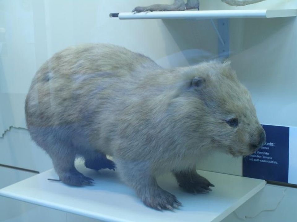 812 sightingsBare-nosed WombatMost seen around 6 PMSighting map
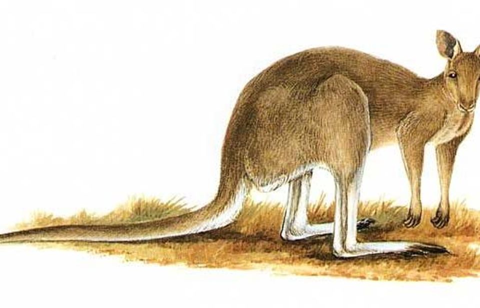 311 sightingsEastern Grey KangarooMost seen around 7 AMSighting map
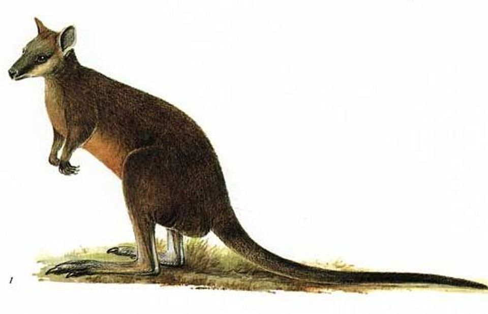 543 sightingsSwamp WallabyMost seen around 6 PMSighting map
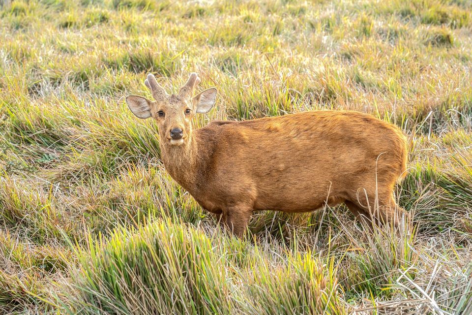 20 sightingsIndochinese Hog DeerMost seen around 7 AMSighting map
Sighting maps show where each species has been reported across Wilsons Promontory. Wildlife moves, so no sighting is guaranteed.
Keep exploring
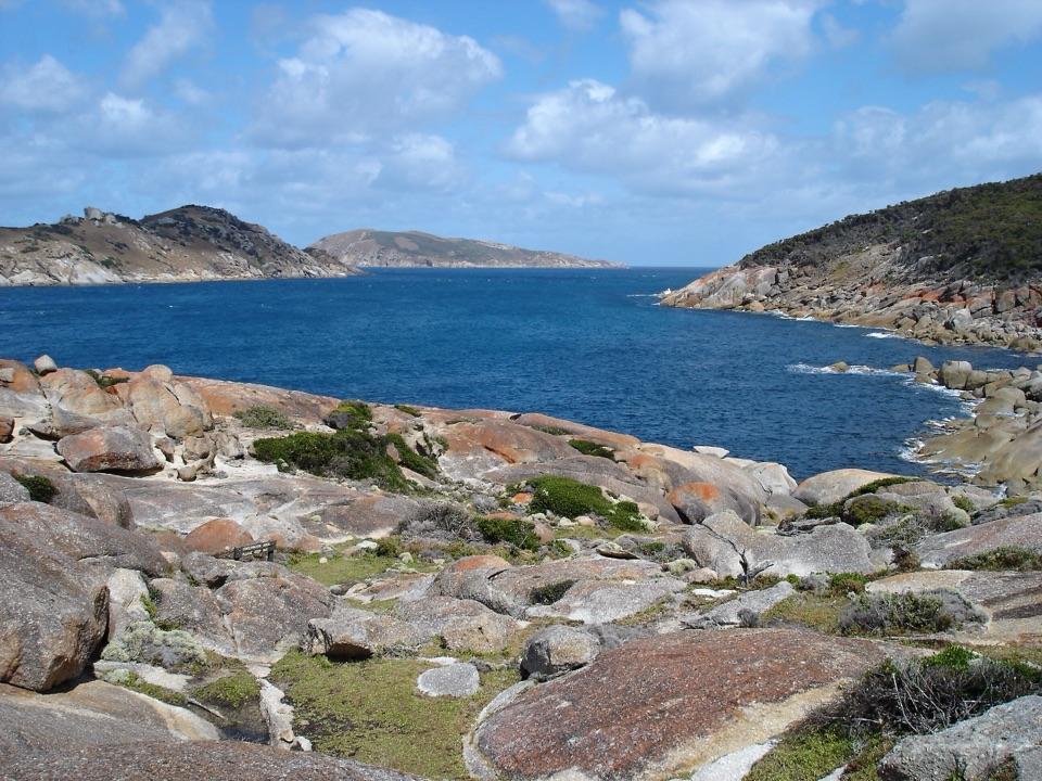 ChallengingSouth Point Track from Roaring Meg7.4 km · 2.5 hr · 3.4 km awayThe mainland's southern tip rewards the long walk in.
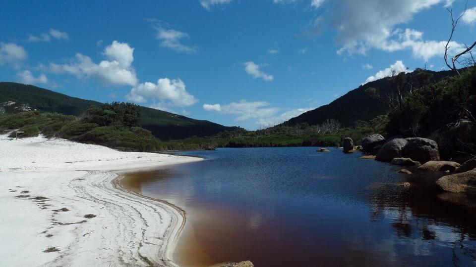 ModerateLittle Waterloo Bay to Telegraph Saddle Hike11.9 km · 4.5 hr · 4.6 km awayCoastal scrub gives way to a steep climb through eucalypt forest.
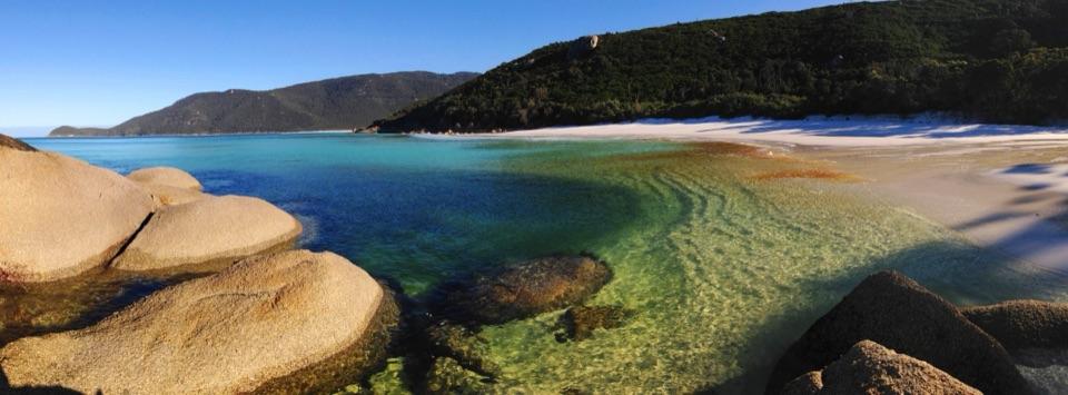 ChallengingWaterloo Bay to Lightstation Hike10.4 km · 3 hr · 4.6 km awayA remote coastal climb to a historic station above the sea.
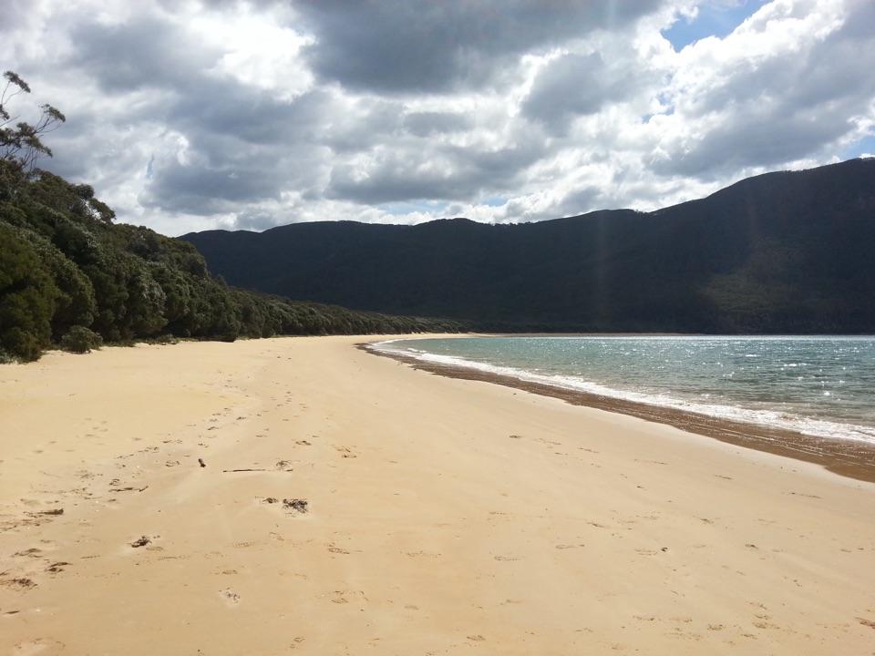 ChallengingSealers Cove Walk20 km · 6.5 hr · 6.3 km awayA full-day rainforest walk earns a crescent of quiet beach.
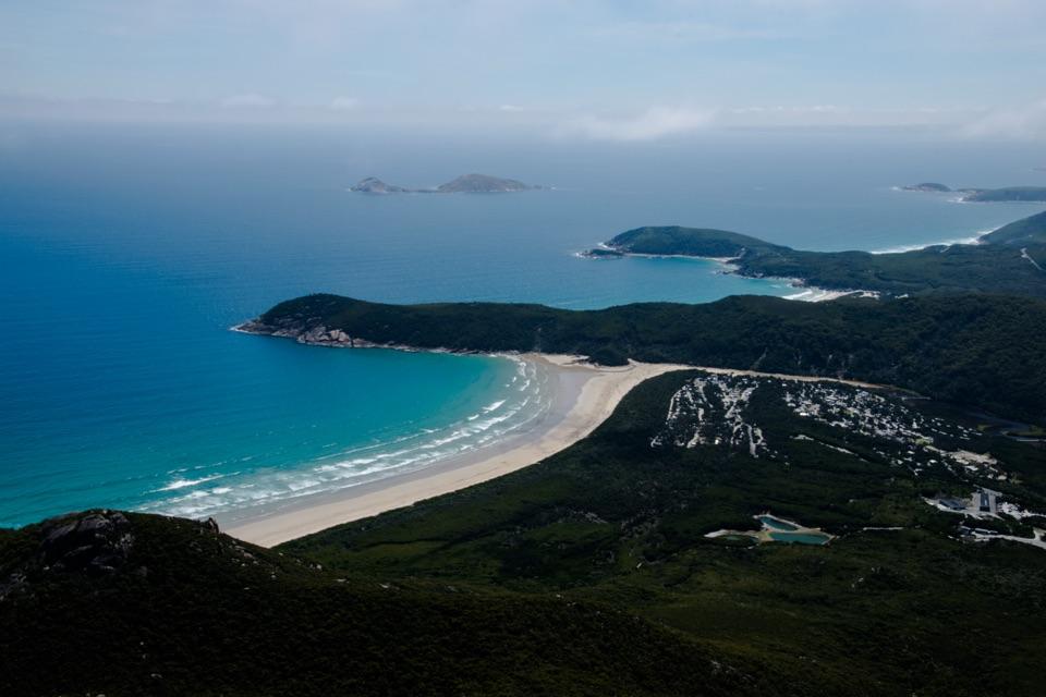 ModerateMount Oberon Summit Walk6.8 km · 2.5 hr · 6.3 km awayA steady gravel climb to granite with bays and Tidal River below.
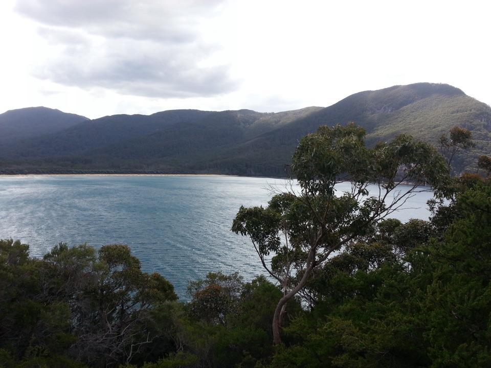 ChallengingSouthern Prom Circuit35.5 km · 11 hr · 6.4 km awayFerny climbs open onto three sheltered coves on the east coast.
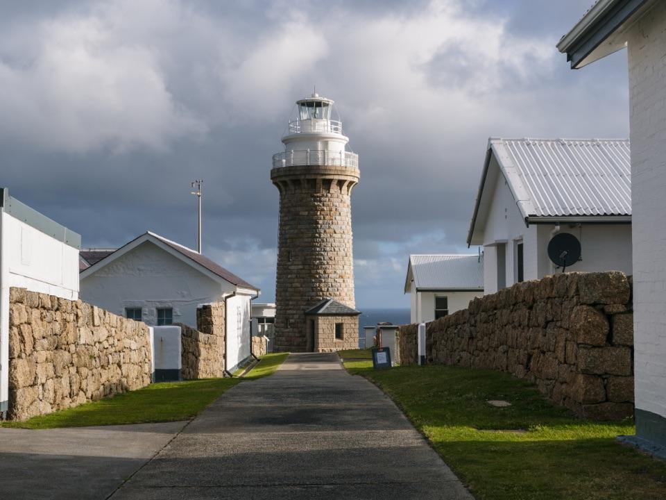 ChallengingWilsons Promontory Lightstation Walk19.1 km · 5.5 hr · 6.4 km awayA long forest walk ends at a lighthouse above the sea.
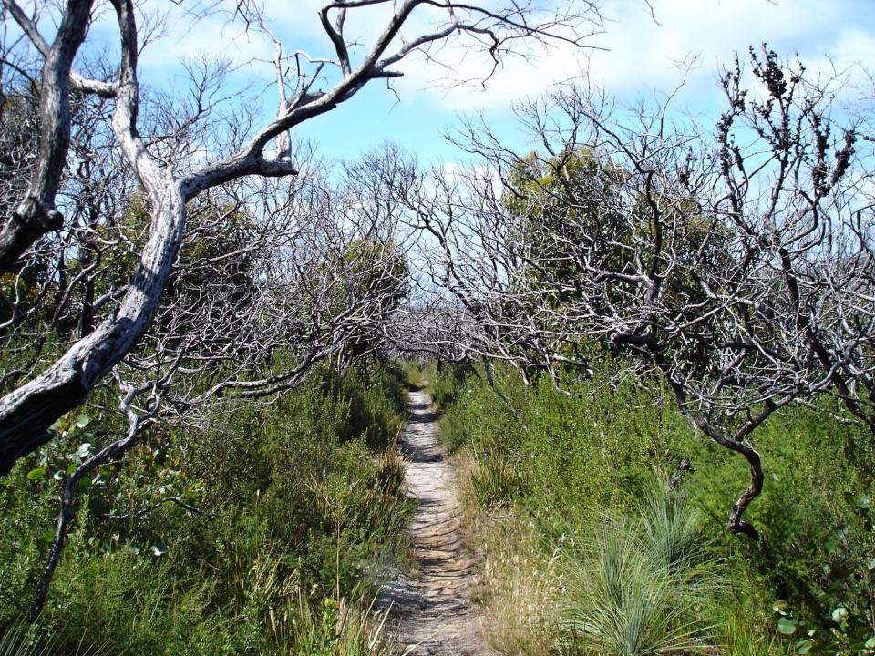 ChallengingSouthern Prom Extended Circuit58.7 km · 20 hr · 6.4 km awayFive days of coves, a lighthouse, and mainland South Point.
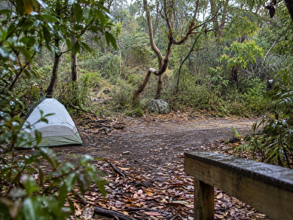 Campground · 3.4 km awayRoaring Meg Camping AreaA fern-gully camp for a long walk to South Point.
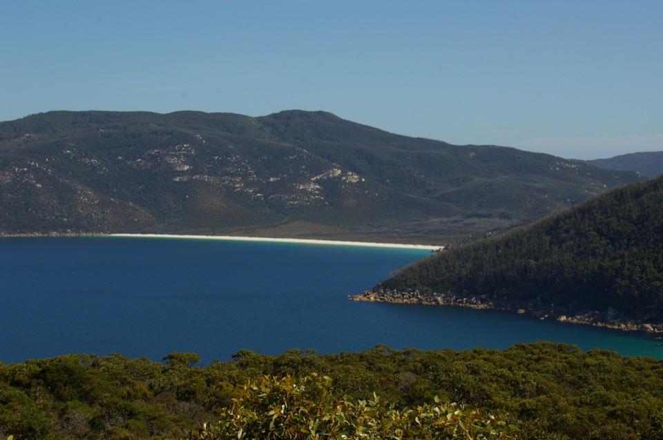 Beach · 3.5 km awayWaterloo BayA remote sweep of white sand on the Southern Circuit.
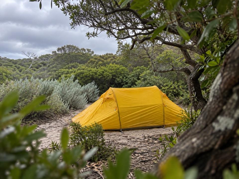 Campground · 3.7 km awayOberon Bay Camping AreaA quiet bush camp within a short walk of the beach.
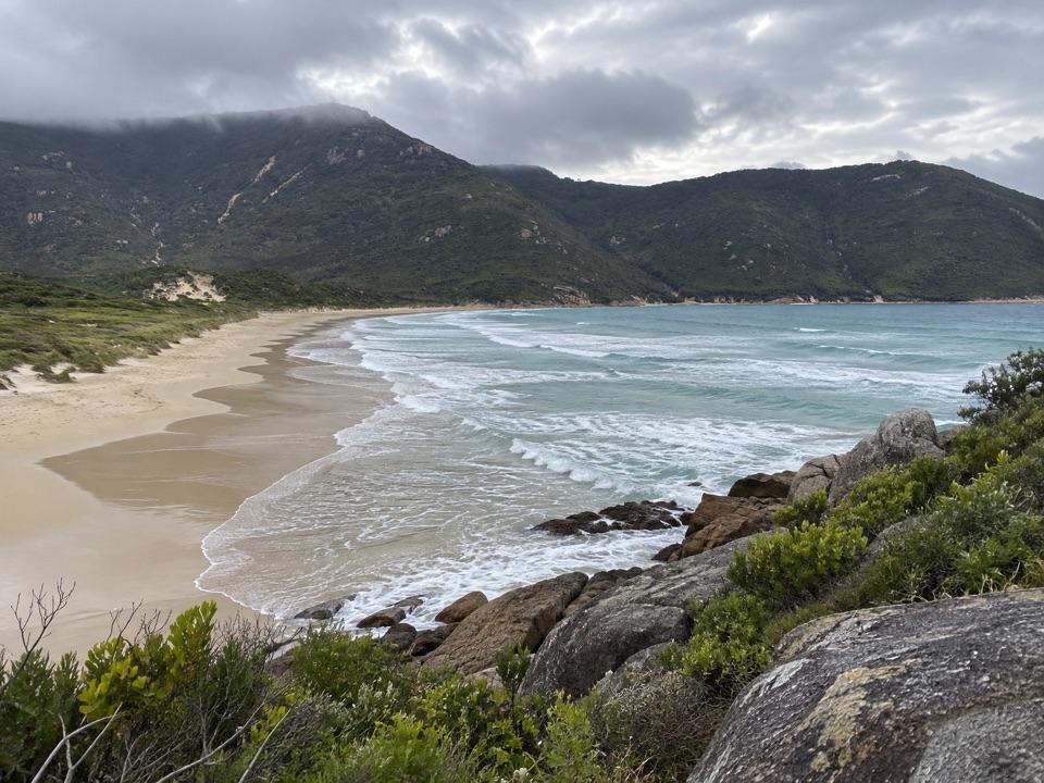 Beach · 4.1 km awayOberon BayLong sand, granite slopes and a bay that's worth hiking for.Beach · 4.5 km awayLittle Waterloo BayWhite sand, granite boulders, and a real hike to get here.Campground · 4.6 km awayLittle Waterloo Bay Camping AreaA backcountry camp beside white sand and clear water.
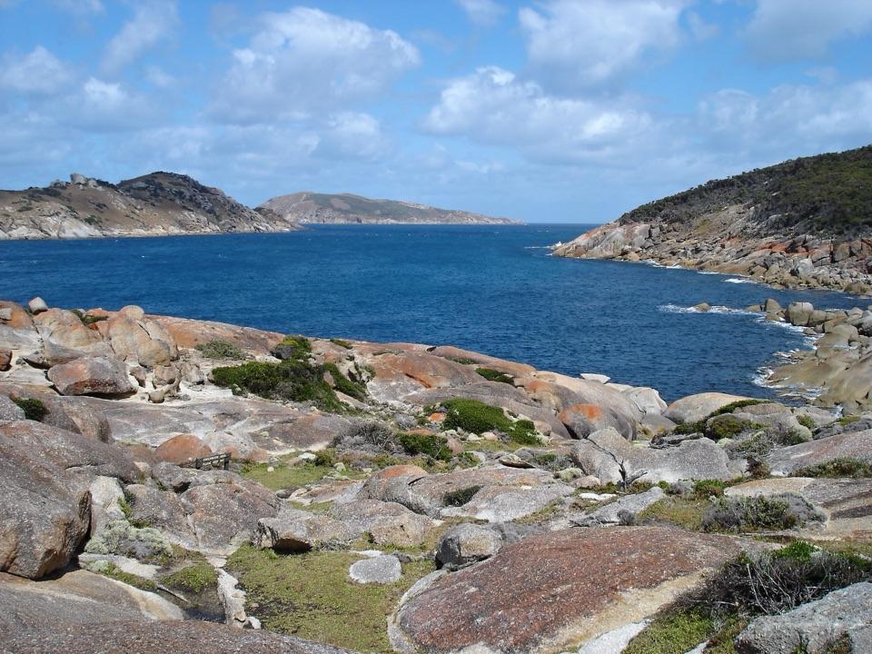 Sight · 5.5 km awaySouth PointA long walk to mainland Australia's southern edge.
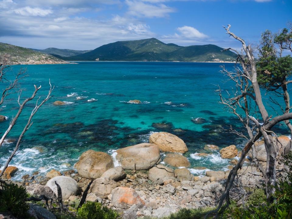 Beach · 6 km awayLittle Oberon BayA compact beach with clear water, reached by a proper coastal walk.
Parkwolf’s Wilsons Promontory ranking

The audio tour guide for the drive, plus offline maps, trails, and wildlife heatmaps for when the signal drops.