Parking
Roaring Meg is a walk-in camp with no road parking. Park at the Overnight Hikers car park near Telegraph Saddle or at Tidal River, then reach it on the Southern Circuit; the overnight hike requires a permit.
Wilsons Promontory National Park, VIC
The mainland's southern tip rewards the long walk in.
Overview
Map & elevation
Plan your hike

The highest, rockiest slopes around here are a summer buffet for grizzly bears.
Wilsons Promontory Tour Guide
Parkwolf is a GPS audio tour guide for Wilsons Promontory National Park. As you drive, it chimes in with what’s ahead: hidden gems, upcoming stops, history, geology, and wildlife, right through your car’s speakers.
More stories near here in the app
“Fantastic app with many points of information… It’s great to just turn on while you’re driving and it gives you an audio tour of the national Park. We love it!!!!”


Trail guide
This out-and-back leaves Roaring Meg Hike-In Camping Area for South Point, the southernmost point of mainland Australia, then returns the same way. Parks Victoria lists 7.4 km (4.6 miles) return and about two hours. Allow around two to two and a half hours with time to explore the rocks. This is a spur of the Southern Circuit, not a trailhead you can drive to for a day walk.
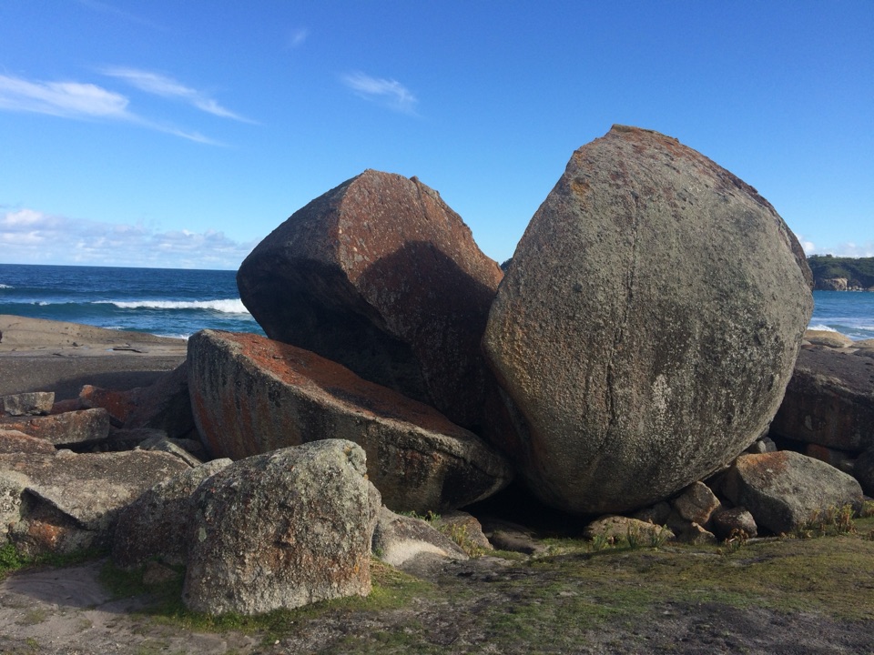
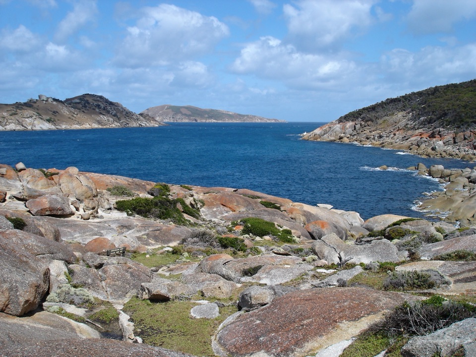
The track follows tall eucalypts along a hillside before dropping toward the coast. Trees thin near the bottom, with brief ocean glimpses before the route reaches granite boulders on the shore. The return follows the same line, including the climb back to camp. South Point is the payoff: the exposed rocks look out over the Tasman Sea. Keep boulders in the foreground and the open water behind them to show what makes this stretch different from a forest walk.
Roaring Meg is a hike-in camping area on the Southern Circuit, reached from Tidal River or Telegraph Saddle; there is no road parking at the spur. Reserve the required overnight permit before starting. Toilets and creek water are available at camp, but the water is untreated and must be treated first. There is no mobile reception. Dogs are not allowed, and slippery rocks, strong currents and rough surf are coastal hazards.
Wildlife
 18 sightingsWedge-tailed EagleMost seen around 11 AMSighting map
 29 sightingsKoalaMost seen around 6 PMSighting map
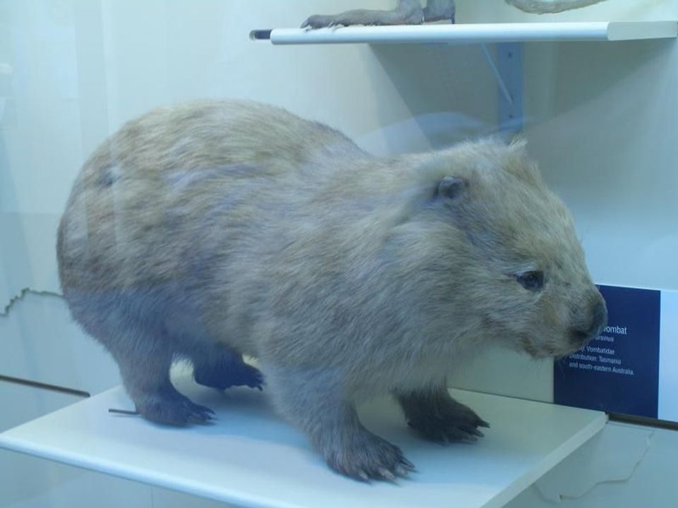 774 sightingsBare-nosed WombatMost seen around 6 PMSighting map
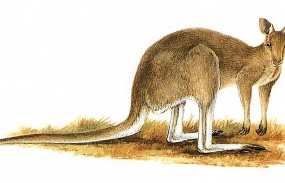 291 sightingsEastern Grey KangarooMost seen around 7 AMSighting map
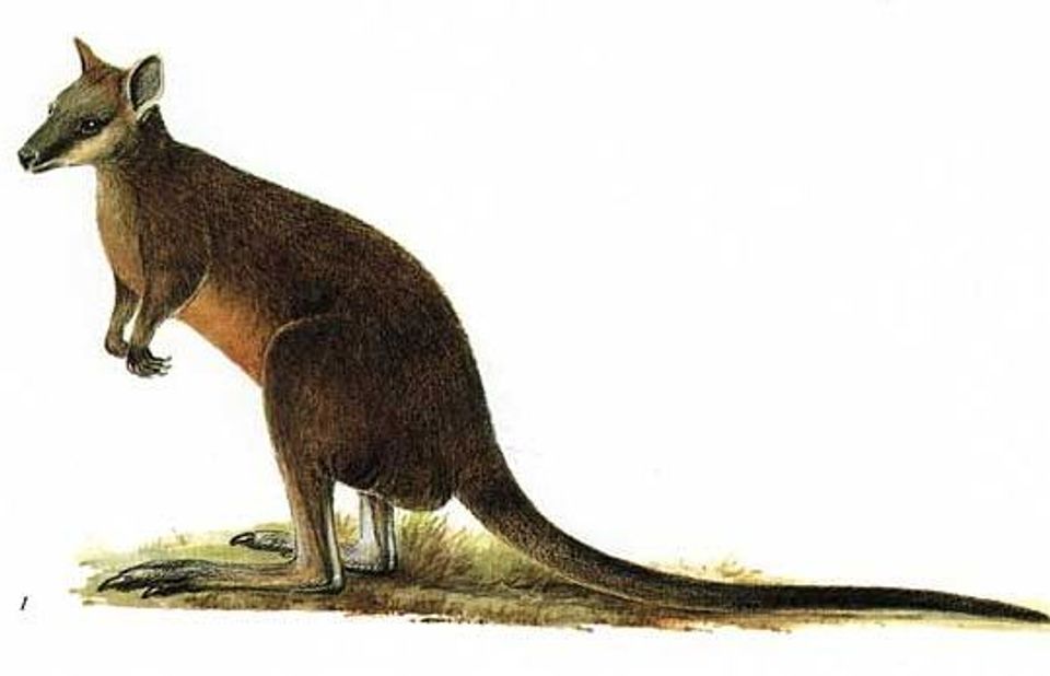 512 sightingsSwamp WallabyMost seen around 6 PMSighting map
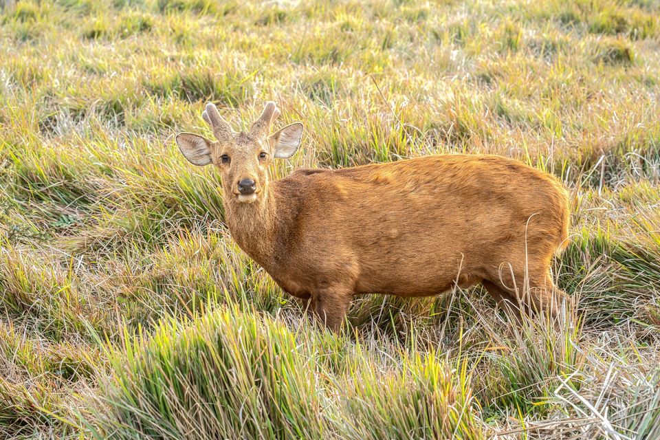 20 sightingsIndochinese Hog DeerMost seen around 7 AMSighting map
Sighting maps show where each species has been reported across Wilsons Promontory. Wildlife moves, so no sighting is guaranteed.
Keep exploring
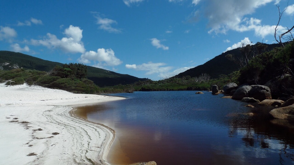 ModerateLittle Waterloo Bay to Telegraph Saddle Hike11.9 km · 4.5 hr · 6.8 km awayCoastal scrub gives way to a steep climb through eucalypt forest.
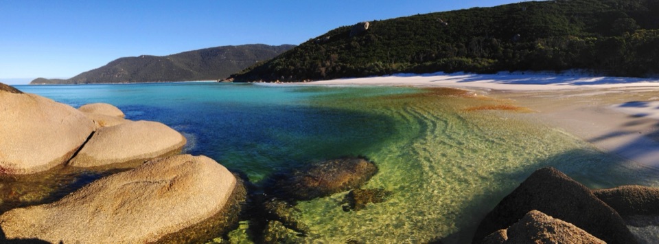 ChallengingWaterloo Bay to Lightstation Hike9.8 km · 3 hr · 6.8 km awayA remote coastal climb to a historic station above the sea.
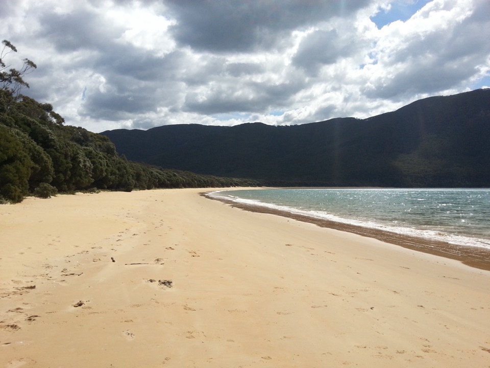 ChallengingSealers Cove Walk20 km · 6.5 hr · 9.6 km awayA full-day rainforest walk earns a crescent of quiet beach.
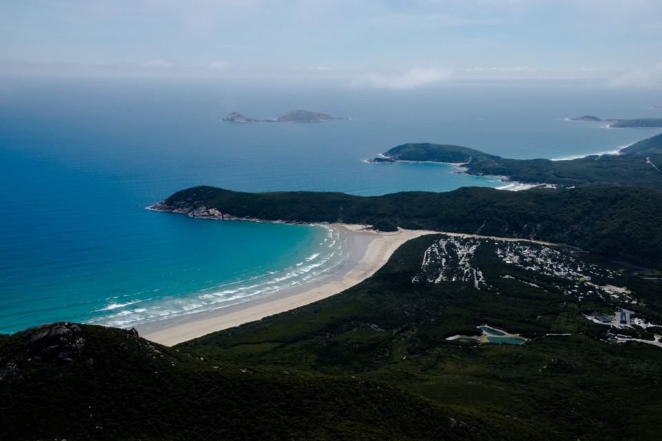 ModerateMount Oberon Summit Walk6.8 km · 2.5 hr · 9.6 km awayA steady gravel climb to granite with bays and Tidal River below.
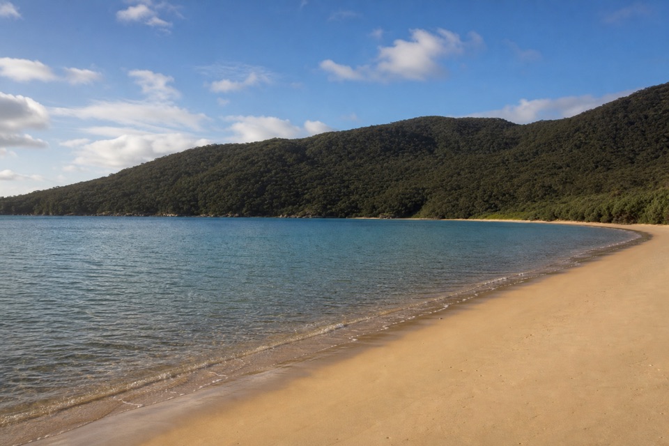 ChallengingSouthern Prom Circuit35.5 km · 11 hr · 9.6 km awayFerny climbs open onto three sheltered coves on the east coast.
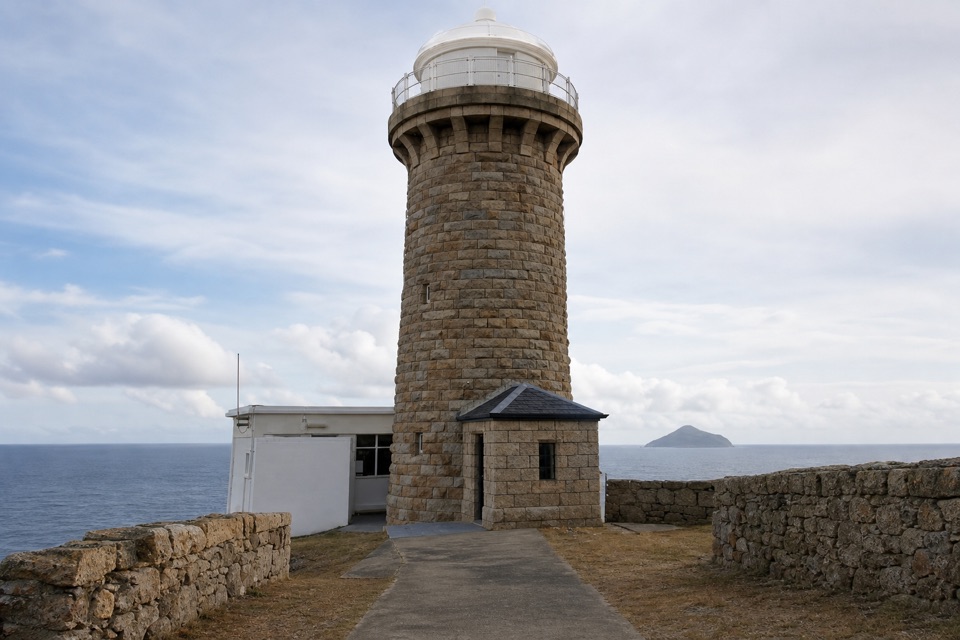 ChallengingWilsons Promontory Lightstation Walk19.1 km · 5.5 hr · 9.6 km awayA long forest walk ends at a lighthouse above the sea.
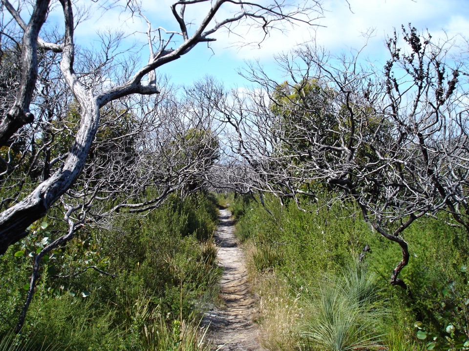 ChallengingSouthern Prom Extended Circuit58.7 km · 20 hr · 9.6 km awayFive days of coves, a lighthouse, and mainland South Point.
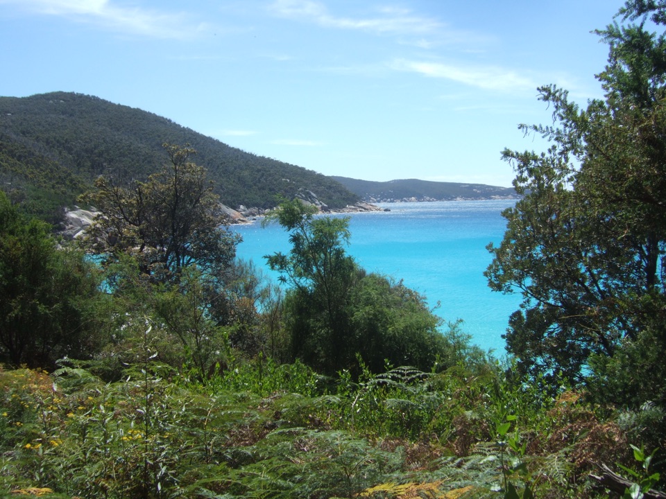 ChallengingRefuge Cove to Little Waterloo Bay Walking Track6.4 km · 2.5 hr · 10.5 km awayA steep headland crossing between two coastal camps
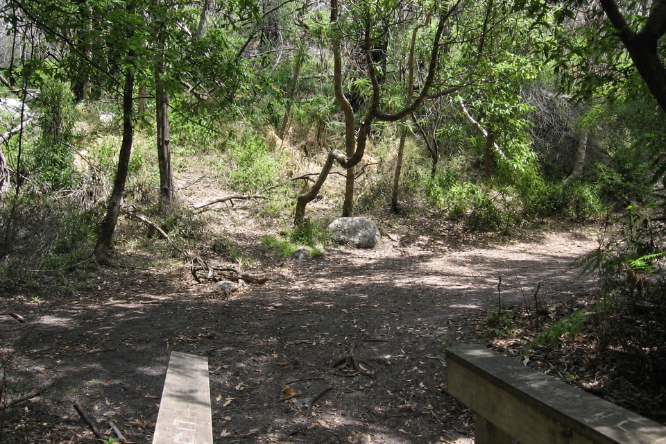 Campground · At the trailheadRoaring Meg Camping AreaA fern-gully camp for a long walk to South Point.
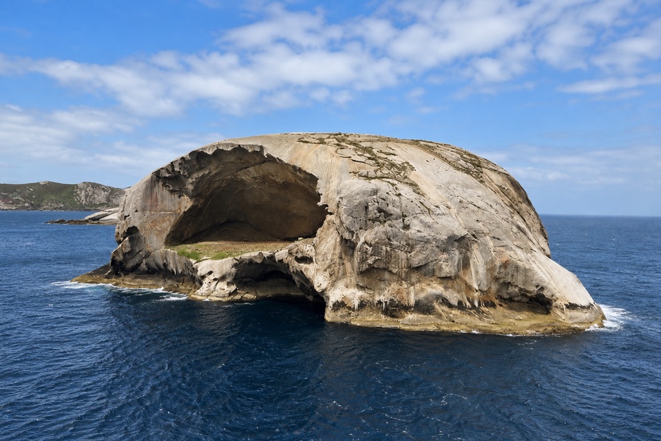 Sight · 2.3 km awaySouth PointA long walk to mainland Australia's southern edge.
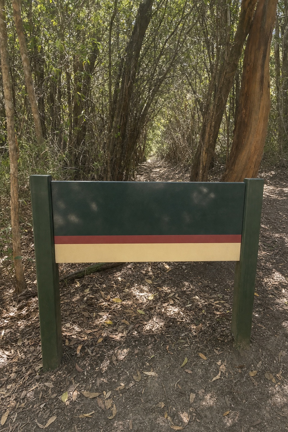 Campground · 3.4 km awayHalfway Hut Hike-in Camping AreaA quiet bush camp beside a hut built for telegraph linesmen.
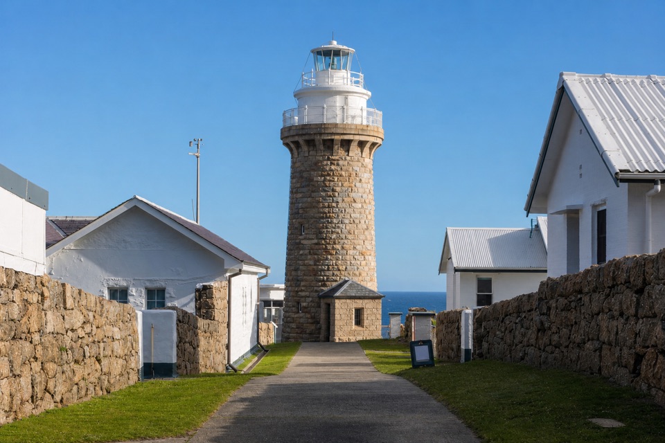 Sight · 3.6 km awayWilsons Promontory LightstationA granite lighthouse at the end of a long wilderness walk.
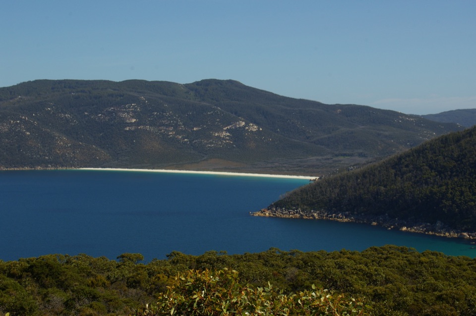 Beach · 4.9 km awayWaterloo BayA remote sweep of white sand on the Southern Circuit.
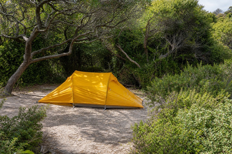 Campground · 6.1 km awayOberon Bay Camping AreaA quiet bush camp within a short walk of the beach.
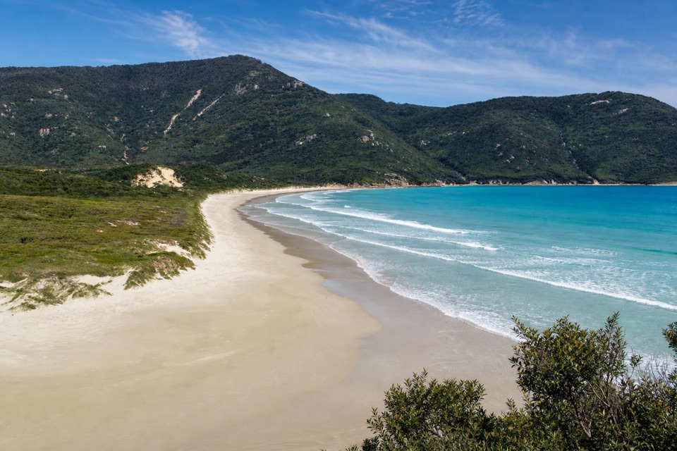 Beach · 6.5 km awayOberon BayLong sand, granite slopes and a bay that's worth hiking for.Beach · 6.6 km awayLittle Waterloo BayWhite sand, granite boulders, and a real hike to get here.
Parkwolf’s Wilsons Promontory ranking

The audio tour guide for the drive, plus offline maps, trails, and wildlife heatmaps for when the signal drops.