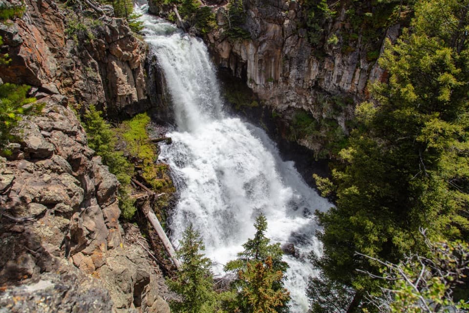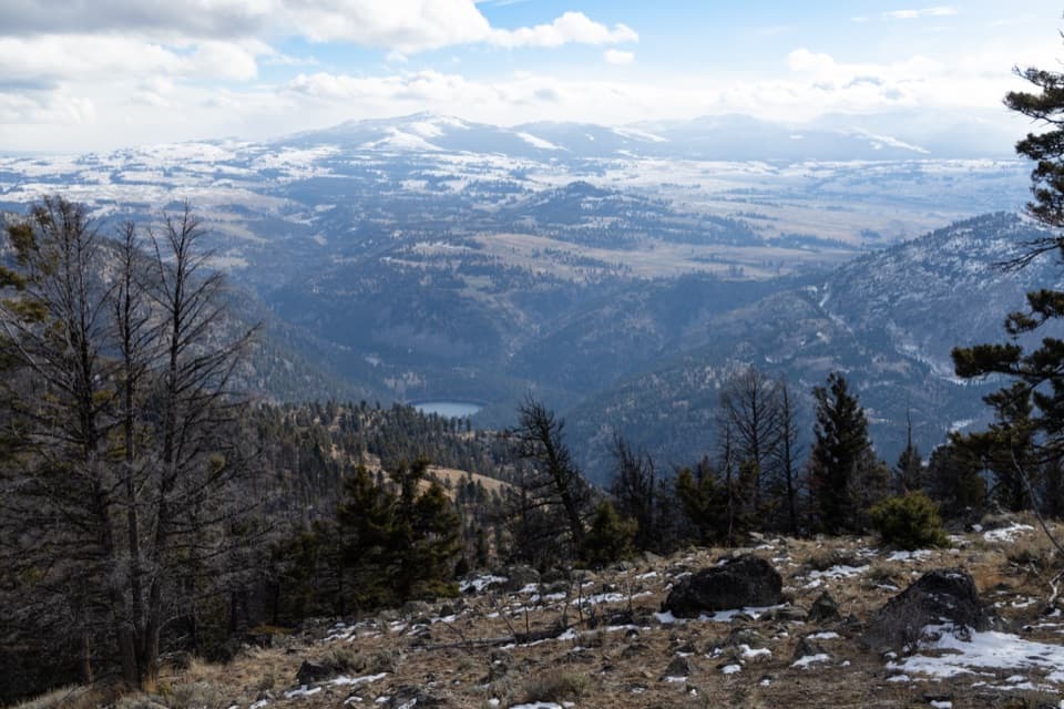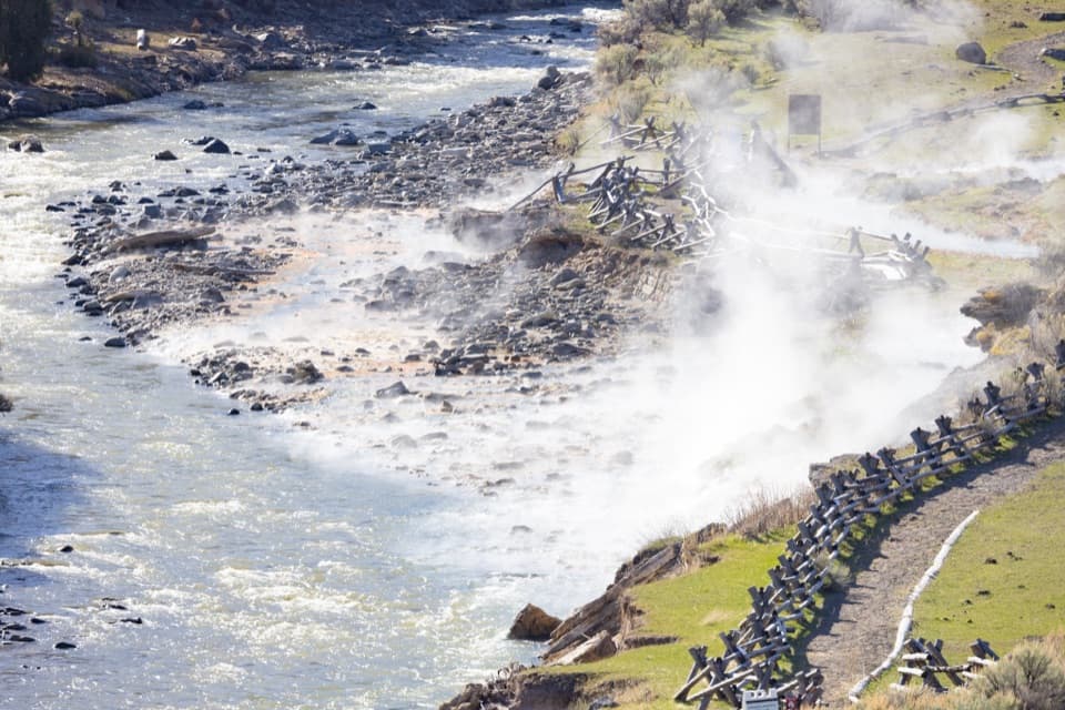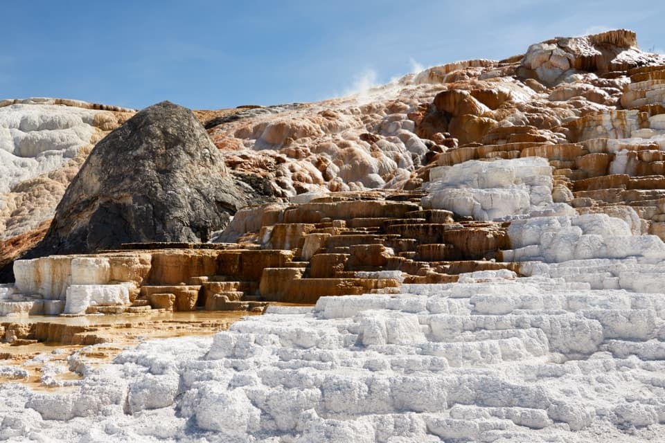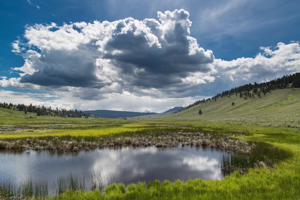
Blacktail Ponds Spur Trail in Yellowstone National Park

Yellowstone National Park, WY · MT · ID

Blacktail Ponds Spur Trail

Easy 2.2-mile connector between Blacktail Deer Creek and Lava Creek trails.

Photo: Public Domain Mark
Length
2.2mi
Time
1.1hr
Elev. change
123ft
Difficulty
Easy
  • No dogs
  • High point 6,706 ft

Hear the audio tour

Blacktail Creek Trailhead

Overview

About Blacktail Ponds Spur Trail

Why go

  • An easy way to link the Blacktail Deer Creek and Lava Creek trail networks.
  • Reaches the pond country anglers use for access.

Heads up

  • The one-way route needs a pickup, shuttle, or a retraced walk.
  • The 1N5 access adds about 0.4 mile before the spur starts.

Map & elevation

The route

Loading the Yellowstone map
Full map
Elevation6,584–6,706 ft
TrailheadBlacktail Deer Creek Trail junction44.96046, -110.59682
Keep this map with you offline in the Parkwolf app

Plan your hike

Before you go

Parking

Use Blacktail Deer Creek Trailhead (1N5) on Grand Loop Road between Mammoth and Tower. Follow Blacktail Deer Creek Trail about 0.4 mile to the spur’s east junction. The lot can fill quickly; additional parking is available nearby at Blacktail Deer Creek Stock Trailhead. At the west end, the Lava Creek Picnic Area Trailhead (1N6) is across the road from the picnic area; the picnic area has a vault toilet, though parking can be limited.

Safety

Grizzly bears frequent this area. Keep bear spray immediately accessible and follow Yellowstone bear guidance.

5 active Yellowstone alerts

  • ClosureBiscuit Basin closed after hydrothermal explosionBiscuit Basin’s parking lot, boardwalk, and Firehole River are closed to all travel.Official details
  • ClosureMost Yellowstone roads close to regular vehicles November 1Most Yellowstone roads and the West, South, and East entrances are scheduled to close to regular vehicles November 1, 2026, as the park prepares for winter operations.Official details
See all 5 alerts
A park ranger sits on a dash-mounted phone, talking, as Parkwolf’s Tour Guide plays “Army Cutworm Moths: A Grizzly Bear Buffet” on Grand Loop Road below Dunraven Pass in Yellowstone
Parkwolf Tour GuideThe highest, rockiest slopes around here are a summer buffet for grizzly bears.

Yellowstone Tour Guide

Hear Yellowstone as you drive it.

Parkwolf is a GPS audio tour guide for Yellowstone National Park. As you drive, it chimes in with what’s ahead: hidden gems, upcoming stops, history, geology, and wildlife, right through your car’s speakers.

See the Yellowstone audio tour

Recorded for this area

Blacktail Creek Trailhead
0:00 / 0:26
“You're nearing Blacktail Creek Trailhead, where the Blacktail Deer Creek hike leads down to a suspension bridge over the Yellowstone River.”

Plays on the road 0.4 mi from the trailhead in the Parkwolf Yellowstone Tour Guide.

More stories near here in the app

  • Forces of the Northern Range Trail
  • Wraith Falls Trailhead
  • Lava Creek Picnic Area
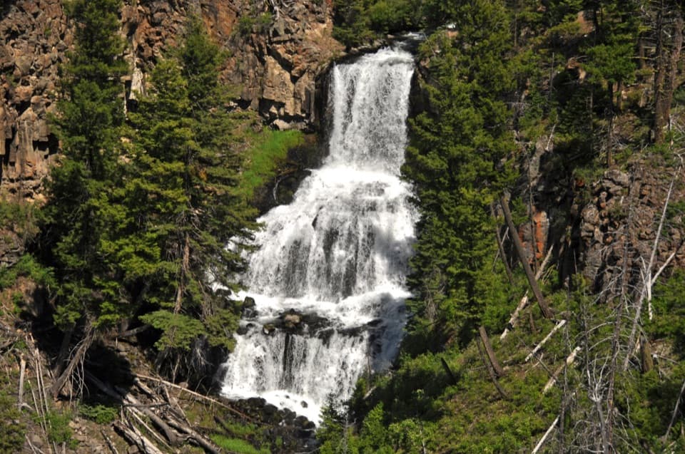
  • Undine Falls
  • 243 audio storiesacross Yellowstone’s roads, triggered by GPS as you drive
  • Wildlife heatmapsfor Wolf, Grizzly Bear, Bison, and 13 more
  • Works offlinemaps, 167 trails, 192 places, and audio download before you lose signal
  • CarPlay readysimple controls built for the drive
★★★★★
“First time driving through a national park. We used the Yellowstone tour on grand loop Road and it’s just like having a tour guide in your car with you.”
Jyg5001App Store review
Download Parkwolf on the App StoreGet Parkwolf on Google Play

4.7 from 8,600+ ratings

Trail guide

Hiking Blacktail Ponds Spur Trail

A connector, not a loopBlacktail Ponds Spur is an easy 2.

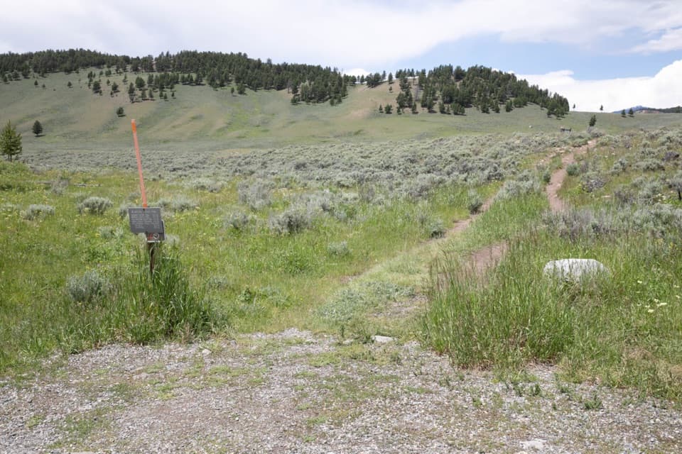
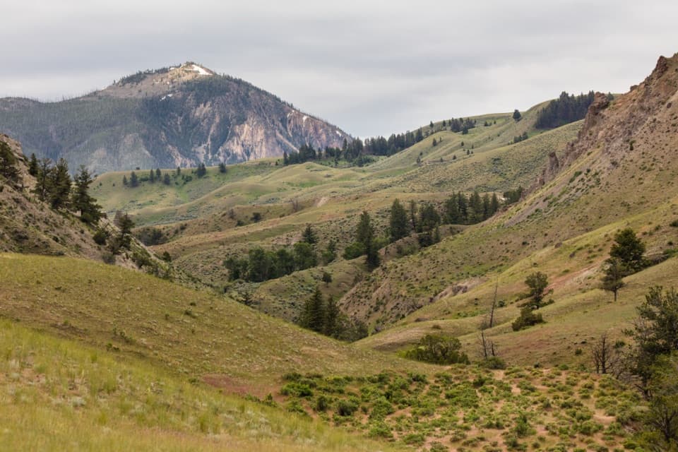
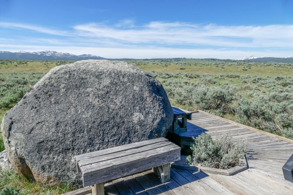
Blacktail Ponds Spur is an easy 2.2-mile, one-way trail connecting Blacktail Deer Creek Trail and Lava Creek Trail across open pond country. Anglers use it to reach Blacktail Pond. The mapped route follows the full named connector from its Blacktail Deer Creek junction west to the Lava Creek junction; allow about an hour for the one-way walk.

Plan the returnBegin from Blacktail Deer Creek Trailhead (1N5) on Grand Loop Road between Mammoth and Tower,…

Begin from Blacktail Deer Creek Trailhead (1N5) on Grand Loop Road between Mammoth and Tower, then walk about 0.4 mile on Blacktail Deer Creek Trail to the spur. The lot can fill quickly; there is additional parking at the nearby Blacktail Deer Creek Stock Trailhead. The west end is accessed from the Lava Creek Picnic Area Trailhead (1N6), across the road from the picnic area; parking can be limited, and there is a vault toilet. Arrange a pickup or continue on adjoining trails. If you retrace the spur, it is 4.4 miles, plus about 0.8 mile for the east access approach from the 1N5 lot.

Backcountry rulesThe park classifies the route as easy, but this is still a Yellowstone backcountry walk.

The park classifies the route as easy, but this is still a Yellowstone backcountry walk. Pets are not allowed. Grizzly bears frequent the Blacktail Deer Creek area; keep bear spray immediately accessible and follow park bear guidance.

Wildlife

Wildlife in Yellowstone

All Yellowstone wildlife maps

Sighting maps show where each species has been reported across Yellowstone. Wildlife moves, so no sighting is guaranteed.

Keep exploring

Near Blacktail Ponds Spur Trail

See it all on the map

Trails that start nearby

Places near the trailhead

Parkwolf’s Yellowstone ranking

Top-rated trails in Yellowstone

All 167 trails
  1. 1Old Faithful to Morning Glory Pool TrailEasy · 2.7 mi
  2. 2Grand Prismatic Overlook TrailEasy · 1.6 mi
  3. 3Dunraven Pass–Mount Washburn TrailChallenging · 7 mi
  4. 4Midway Geyser Basin TrailEasy · 0.7 mi
  5. 5Brink of the Lower Falls TrailChallenging · 0.7 mi
  6. 6Fairy Falls TrailEasy · 4.5 mi

Take Parkwolf to Yellowstone.

The audio tour guide for the drive, plus offline maps, trails, and wildlife heatmaps for when the signal drops.

4.7 from 8,600+ ratings

Download Parkwolf on the App StoreGet Parkwolf on Google Play