Parking
Start at Blacktail Creek Trailhead parking on Grand Loop Road, about 7 miles east of Mammoth. The route ends near the North Entrance, so plan transportation at both ends.
Yellowstone National Park, WY · MT · ID
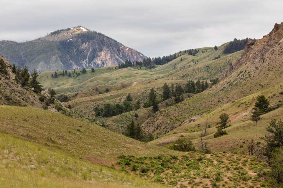
A Northern Range crossing through meadows, forest and sagebrush.
Overview
Map & elevation
Plan your hike

The highest, rockiest slopes around here are a summer buffet for grizzly bears.
Yellowstone Tour Guide
Parkwolf is a GPS audio tour guide for Yellowstone National Park. As you drive, it chimes in with what’s ahead: hidden gems, upcoming stops, history, geology, and wildlife, right through your car’s speakers.
See the Yellowstone audio tourRecorded for this trailhead
Blacktail Creek Trailhead“You're nearing Blacktail Creek Trailhead, where the Blacktail Deer Creek hike leads down to a suspension bridge over the Yellowstone River.”
Plays as you drive up to this trailhead in the Parkwolf Yellowstone Tour Guide.
More stories near here in the app
“First time driving through a national park. We used the Yellowstone tour on grand loop Road and it’s just like having a tour guide in your car with you.”


Trail guide
Rescue Creek Trail is an 8-mile point-to-point hike from Blacktail Creek Trailhead to a second trailhead near the North Entrance. It climbs gradually through aspens and meadows, then descends through forest to sagebrush flats. This is a good pick if you want a substantial walk across the Northern Range; it takes a half day and needs one-way transportation planning. Allow 4 to 6 hours.
From the Blacktail Creek parking area, follow a short shared section of the Blacktail Deer Creek path to the Rescue Creek junction, then continue toward the North Entrance. The route gains ground gradually through aspen and meadow before dropping through forest into open sagebrush country. The 8-mile figure is one way and includes that approach from the trailhead.
The meadows and rolling grassland give the walk its wide-open feel. Gardner Canyon and Bunsen Peak frame one of the route's defining views; Electric Peak appears from other stretches. Keep some of the canyon floor or sagebrush foreground in a photo so the ridges read as a landscape rather than a tight mountain portrait.
Start at Blacktail Creek Trailhead, about 7 miles east of Mammoth on Grand Loop Road. The other end is near the North Entrance, so leave a vehicle there or arrange a ride before setting out. The hike is moderately strenuous because of its length and rolling terrain. Pets aren't allowed.
Wildlife
 713 sightingsGrizzly BearMost seen around 6 AMSighting map
 743 sightingsWolfMost seen around 6 AMSighting map
 5,273 sightingsBisonMost seen around 7 AMSighting map
 3,258 sightingsElkMost seen around 7 PMSighting map
 397 sightingsMooseMost seen around 7 PMSighting map
 1,494 sightingsBlack BearMost seen around 7 PMSighting map
Sighting maps show where each species has been reported across Yellowstone. Wildlife moves, so no sighting is guaranteed.
Keep exploring
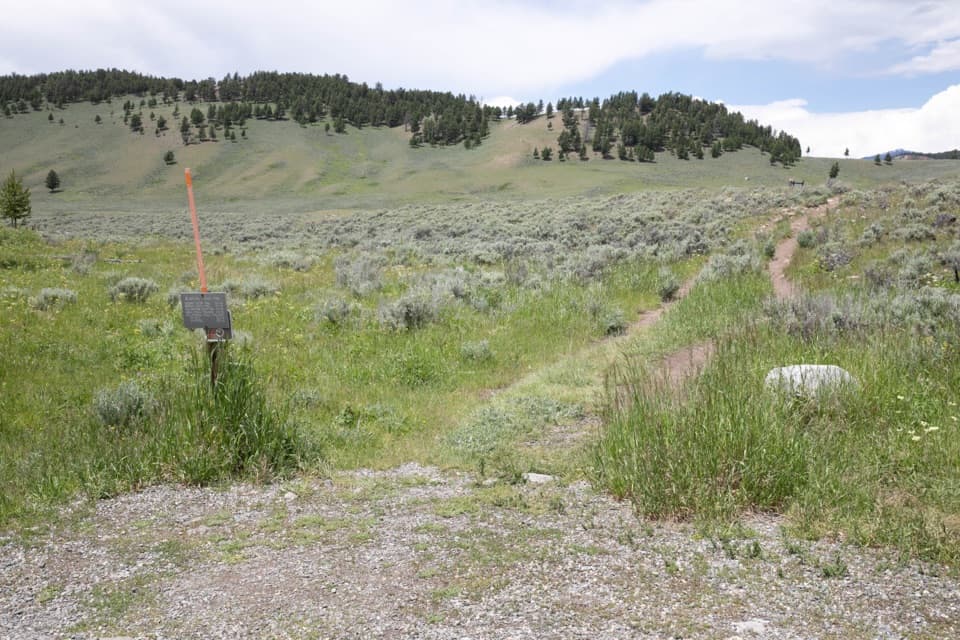 ChallengingBlacktail Deer Creek to Yellowstone River Trail7.4 mi · 4.5 hr · At the trailheadGrassy hills lead down to a river bridge, then back up.
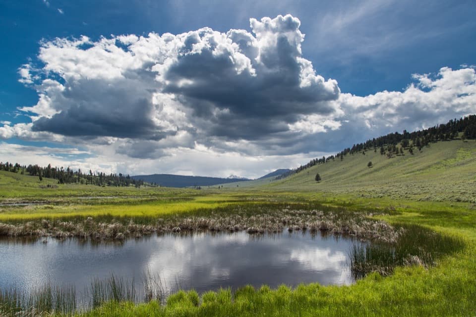 EasyBlacktail Ponds Spur Trail2.2 mi · 1.1 hr · 0.4 mi awayEasy 2.2-mile connector between Blacktail Deer Creek and Lava Creek trails.
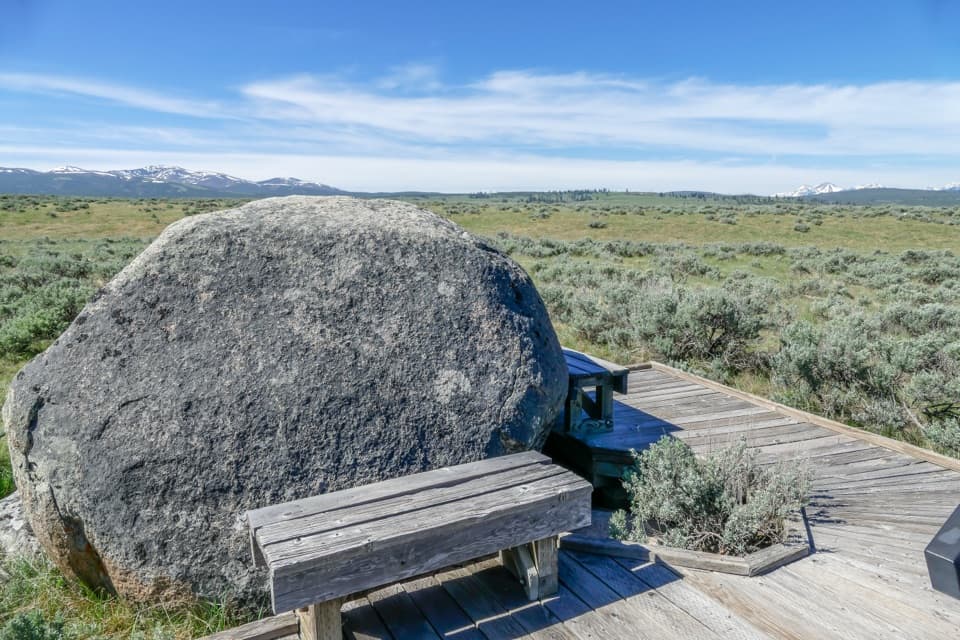 EasyForces of the Northern Range Self-guided Trail0.5 mi · 45 min · 1.4 mi awayEleven exhibit stops on an easy half-mile boardwalk walk.
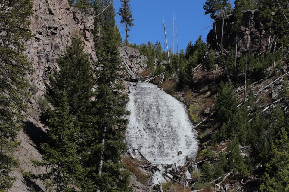 EasyWraith Falls Trail0.8 mi · 45 min · 1.7 mi awayA short meadow walk ends at a 79-foot waterfall viewpoint.
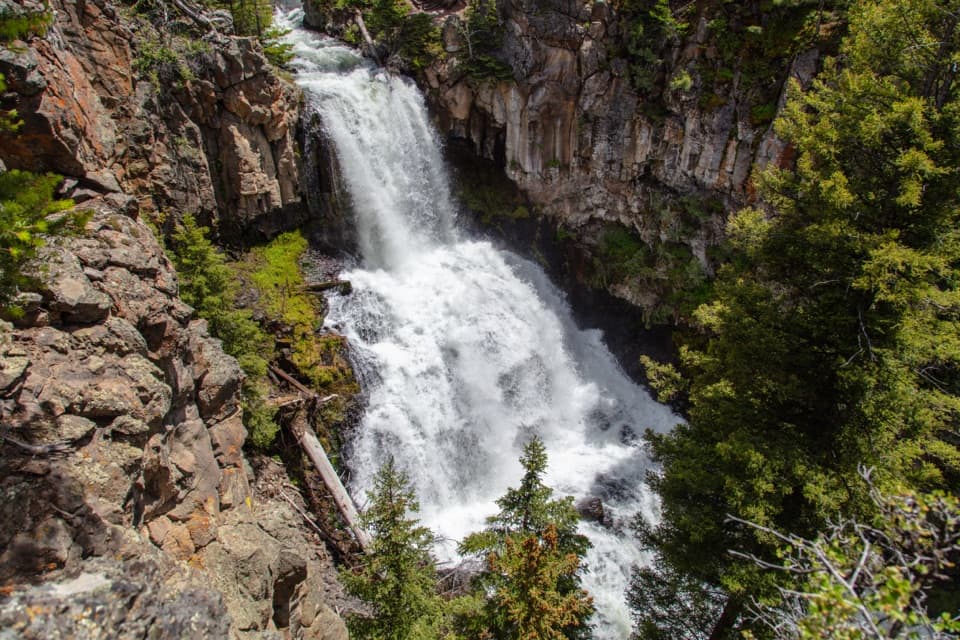 ModerateLava Creek Trail8.4 mi · 5 hr · 2.1 mi awayA creek canyon leads to a 60-foot waterfall and river junction.
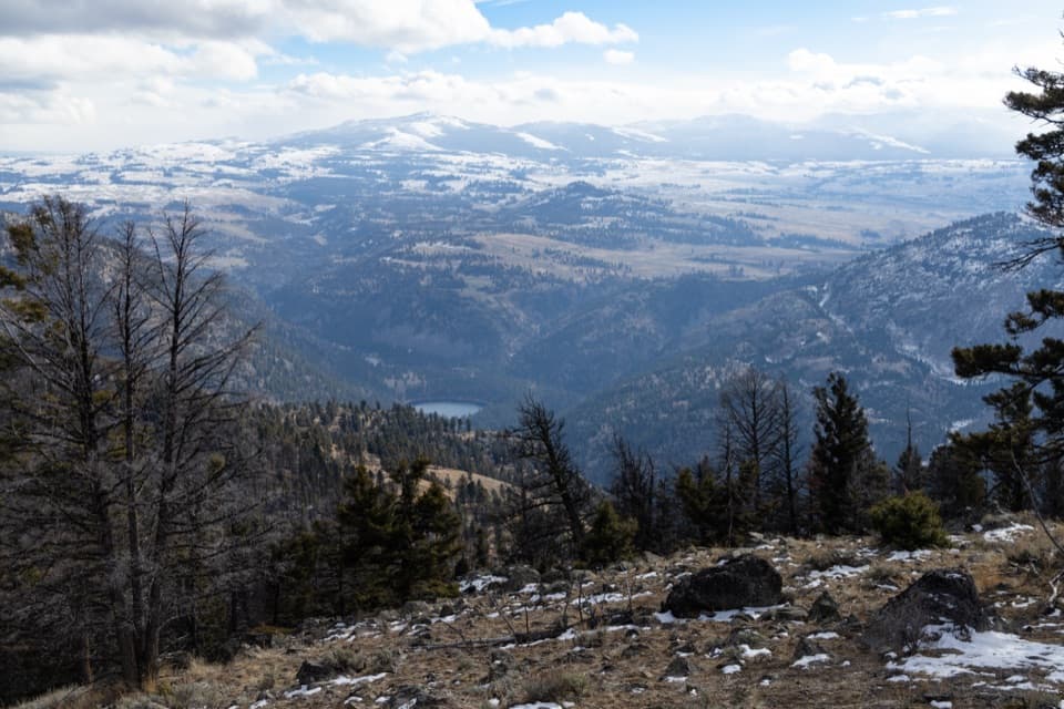 ChallengingCrevice Creek Trail3.5 mi · 4 hr · 5.1 mi awayA steep backcountry spur with broad views above Crevice Creek.
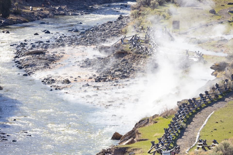 EasyBoiling River Trail1.3 mi · 45 min · 5.4 mi awayA level riverside path ends at the Gardner's geothermal inflow.
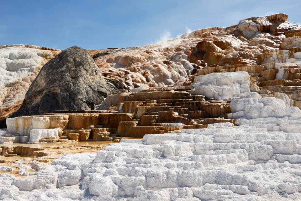 ModerateMammoth Hot Springs Lower Terraces Trail1.8 mi · 1.3 hr · 5.5 mi awayWalk boardwalks past colorful travertine shelves that keep rebuilding.
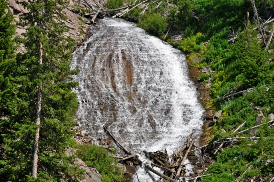 Sight · 1.9 mi awayWraith FallsA short climb to a 79-foot cascade on Lupine Creek.
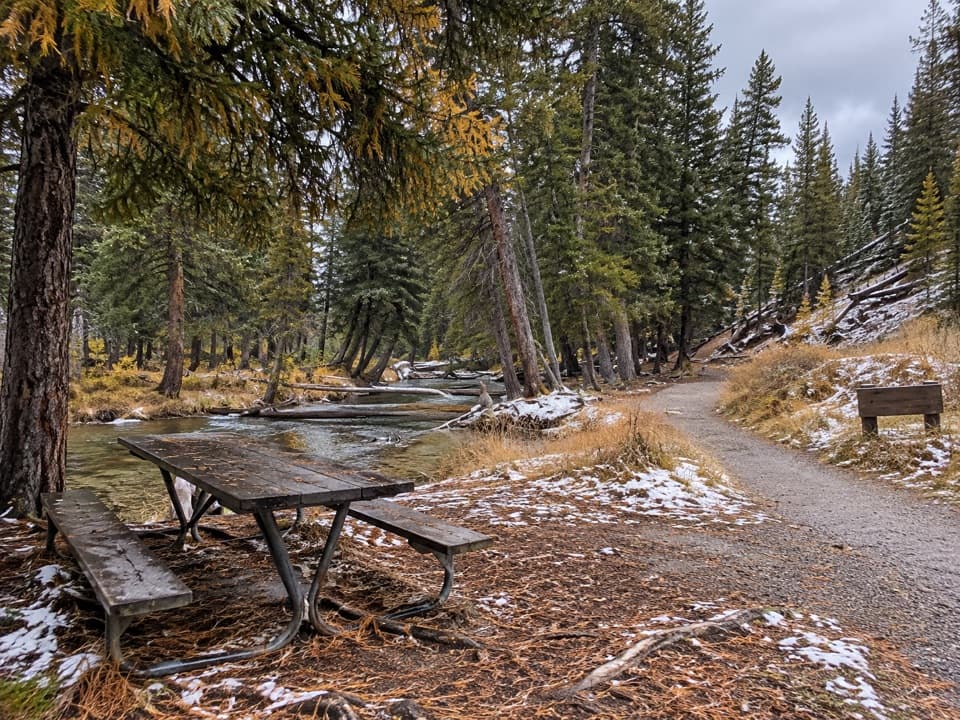 Picnic area · 2.2 mi awayLava Creek Picnic AreaFive tables beside Lava Creek; two trails start across the road.
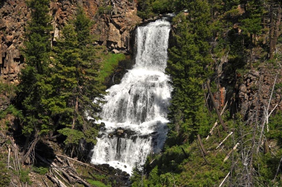 Sight · 2.4 mi awayUndine FallsA 60-foot waterfall breaks into three drops just off the road.
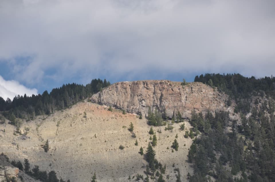 Sight · 4.2 mi awayMount Everts ViewpointA 37-day survival story above layers separated by 60 million years
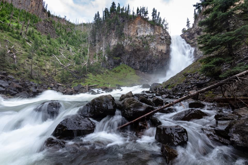 Sight · 4.7 mi awayOsprey FallsA hard hike to a 150-foot waterfall in Sheepeater Canyon.
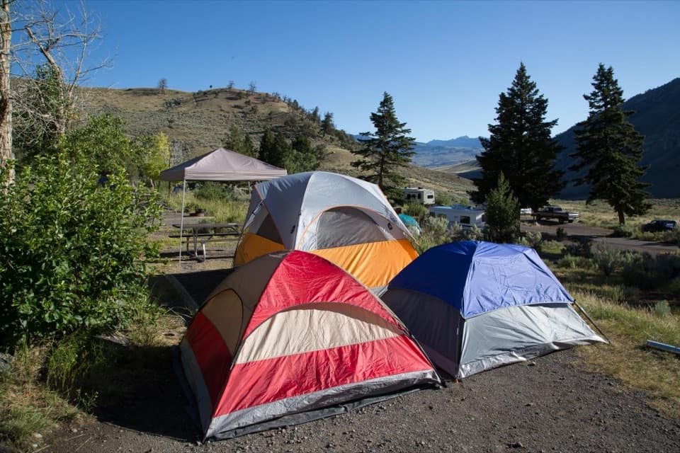 Campground · 5.1 mi awayMammoth CampgroundA base where elk sometimes wander among the campsites.
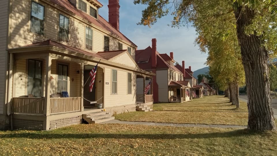 Sight · 5.4 mi awayFort YellowstoneAn easy walk through the Army post that became park headquarters.
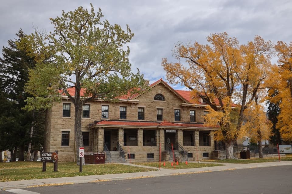 Visitor center · 5.4 mi awayAlbright Visitor CenterA practical Mammoth stop for trip planning and Fort Yellowstone history.
Parkwolf’s Yellowstone ranking

The audio tour guide for the drive, plus offline maps, trails, and wildlife heatmaps for when the signal drops.