Upper Falls Viewpoints in Yellowstone National Park

Sight · Yellowstone National Park

Upper Falls Viewpoints

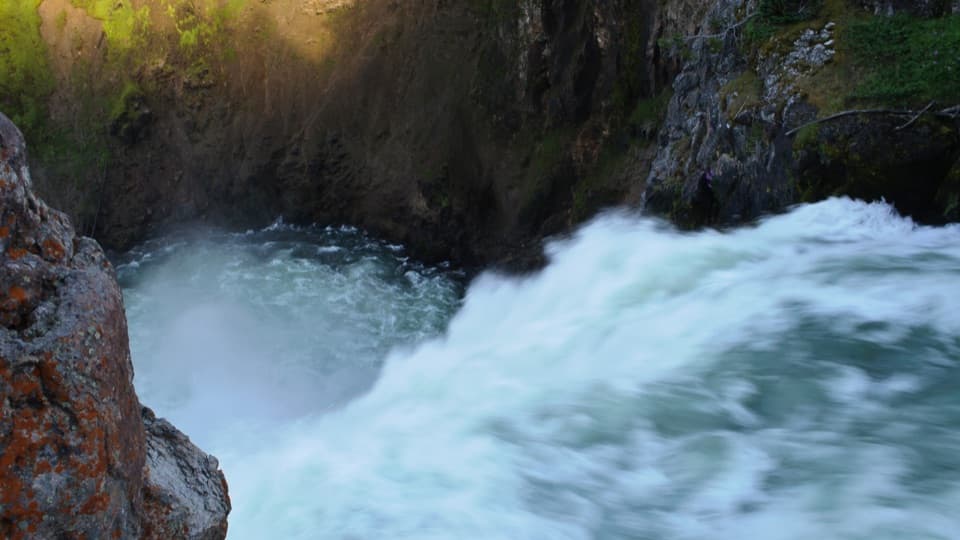
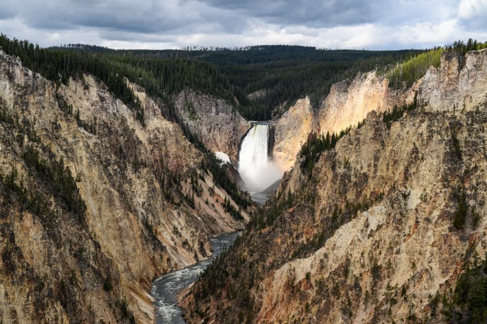
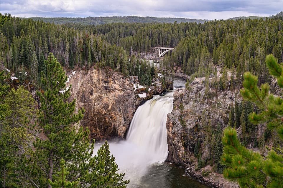
South Rim stop for a close look at 109-foot Upper Falls.

Photo: Wikimedia Commons
Type
Sight
Nearest trail
0.1 mi
Audio stories
11 nearby
  • Parking
  • Scenic viewpoint
  • Restrooms
  • #36 of 101 sights

Hear the audio tour

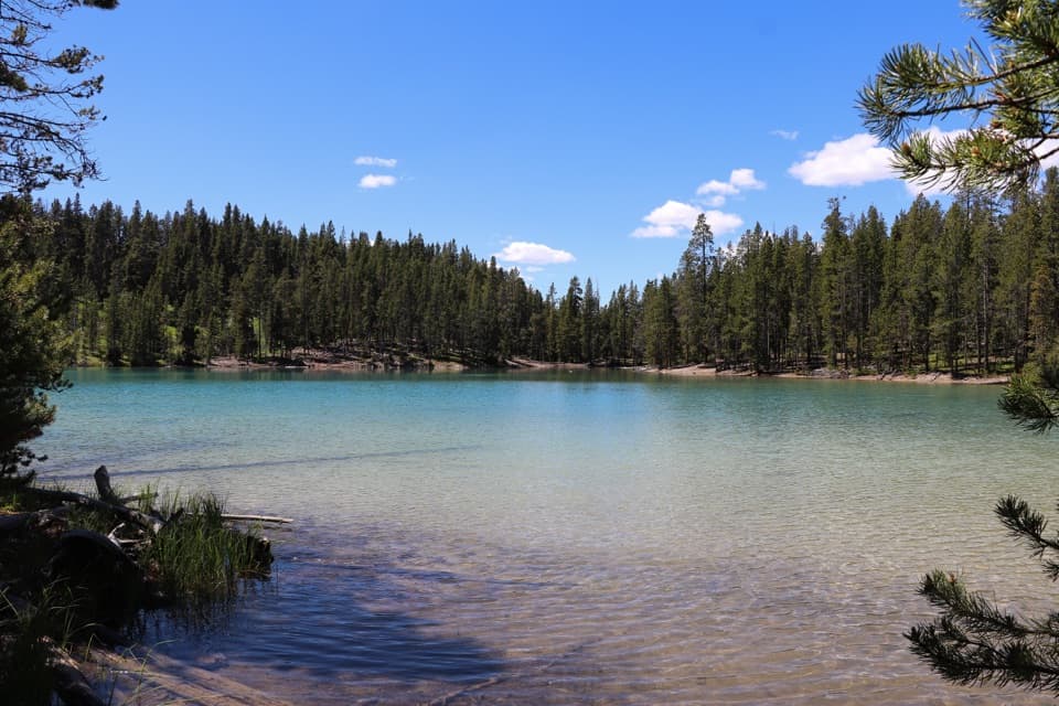
Upper Falls Viewpoints and Clear Lake

Overview

About Upper Falls Viewpoints

Why stop

  • The falls and Chittenden Bridge share one clear canyon view.

Heads up

  • A brief stop focused on Upper Falls rather than the wider canyon.

Map

Where it is

Loading the Yellowstone map
Full map
SightUpper Falls Viewpoints44.71464, -110.49723
Keep this map with you offline in the Parkwolf app

Plan your stop

Before you go

5 active Yellowstone alerts

  • ClosureBiscuit Basin closed after hydrothermal explosionBiscuit Basin’s parking lot, boardwalk, and Firehole River are closed to all travel.Official details
  • ClosureMost Yellowstone roads close to regular vehicles November 1Most Yellowstone roads and the West, South, and East entrances are scheduled to close to regular vehicles November 1, 2026, as the park prepares for winter operations.Official details

See all 5 alerts
A park ranger sits on a dash-mounted phone, talking, as Parkwolf’s Tour Guide plays “Army Cutworm Moths: A Grizzly Bear Buffet” on Grand Loop Road below Dunraven Pass in Yellowstone
Parkwolf Tour GuideThe highest, rockiest slopes around here are a summer buffet for grizzly bears.

Yellowstone Tour Guide

Hear Yellowstone as you drive it.

Parkwolf is a GPS audio tour guide for Yellowstone National Park. As you drive, it chimes in with what’s ahead: hidden gems, upcoming stops, history, geology, and wildlife, right through your car’s speakers.

See the Yellowstone audio tour

Recorded for this place

Upper Falls Viewpoints and Clear Lake
0:00 / 0:30
“Upper Falls Viewpoints is coming up on South Rim Drive. Stop here for a short paved walk to a view across the gorge, with the waterfall and Chittenden Bridge together.”

Plays as you drive up to Upper Falls Viewpoints in the Parkwolf Yellowstone Tour Guide.

More stories near here in the app

  • Brink of the Upper Falls
  • Brink of the Lower Falls
  • Chittenden Bridge and South Rim Trail
  • Lookout Point and Grand View
  • 243 audio storiesacross Yellowstone’s roads, triggered by GPS as you drive
  • Wildlife heatmapsfor Wolf, Grizzly Bear, Bison, and 13 more
  • Works offlinemaps, 167 trails, 192 places, and audio download before you lose signal
  • CarPlay readysimple controls built for the drive
★★★★★
“First time driving through a national park. We used the Yellowstone tour on grand loop Road and it’s just like having a tour guide in your car with you.”
Jyg5001App Store review
Download Parkwolf on the App StoreGet Parkwolf on Google Play

4.7 from 8,600+ ratings

Guide

More about Upper Falls Viewpoints

Take the short South Rim stopUpper Falls Viewpoints is a drive-up overlook complex on the South Rim of the Grand Canyon of…

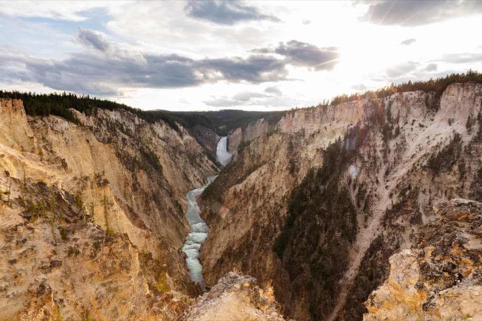
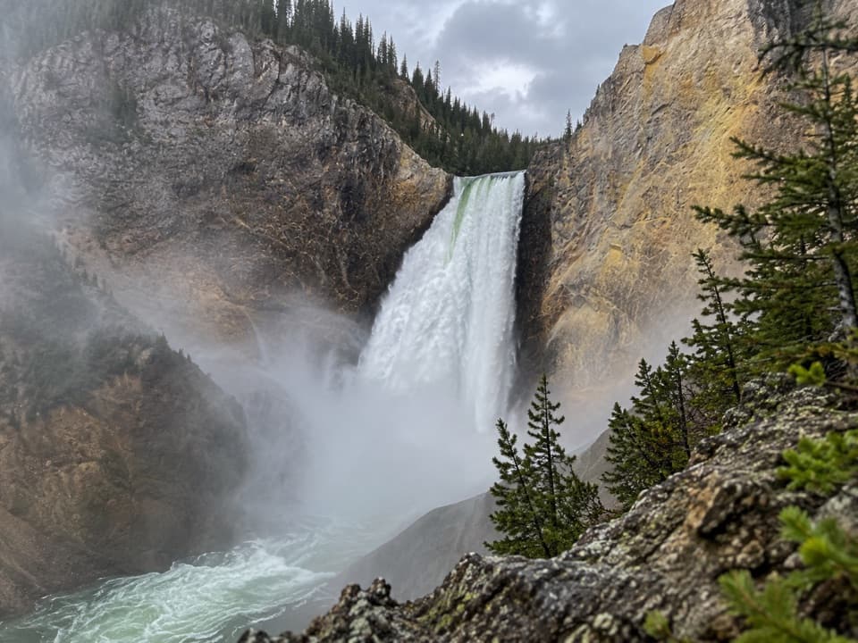
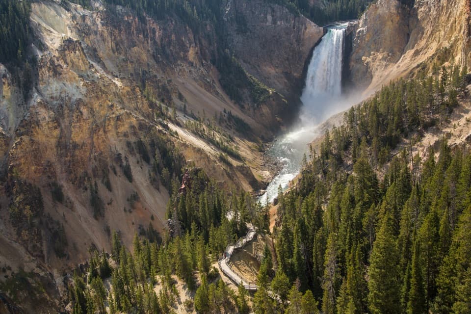
Upper Falls Viewpoints is a drive-up overlook complex on the South Rim of the Grand Canyon of the Yellowstone. From across the gorge, you look toward the 109-foot Upper Falls, with the Yellowstone River and Chittenden Bridge in the same view. This is a quick stop focused on Upper Falls; the separate Brink of Upper Falls is reached from another drive. Artist Point is a different South Rim stop for the Lower Falls and a broader canyon view.

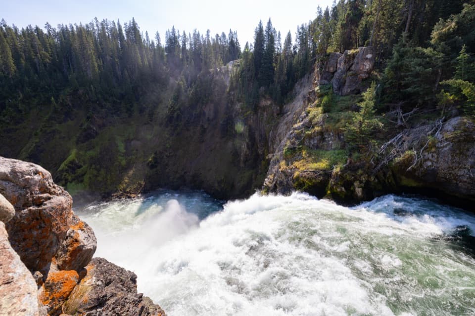
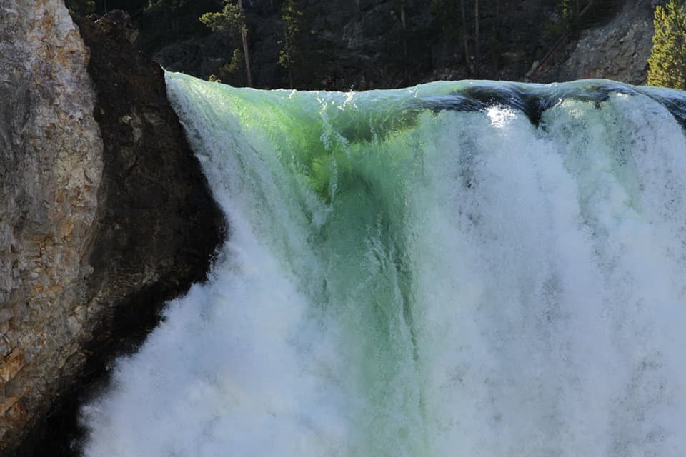
Let the falls show the scaleThe water drops 109 feet over resistant volcanic rock.

The water drops 109 feet over resistant volcanic rock. Large rocks upstream are remnants of a lava flow that has resisted erosion. For a photo, keep some of the canyon walls and the bridge above the falls in frame; they help show how the river cuts through this landscape.

Why the walls change colorHydrothermal activity altered and weakened the canyon's rhyolite, and the Yellowstone River…

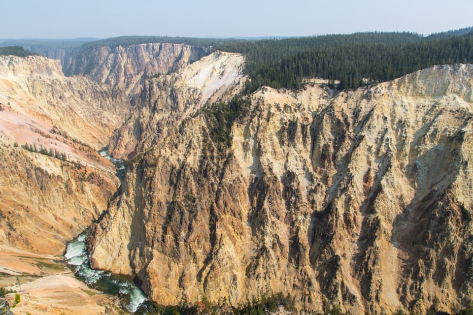
Hydrothermal activity altered and weakened the canyon's rhyolite, and the Yellowstone River keeps eroding it. The canyon's varied colors come from the altered rock and sediments. Dark orange, brown, and green near the river can mark areas of active hydrothermal features.

A young canyon in an old volcanic storyThe Yellowstone caldera formed after a major eruption about 630,000 years ago.

The Yellowstone caldera formed after a major eruption about 630,000 years ago. The present canyon is much younger: scientists think it began roughly 160,000 to 140,000 years ago. The falls and the steep gorge are part of a landscape still being shaped by the river.

Keep the visit simpleA short paved path leads from the parking area to the overlook.

A short paved path leads from the parking area to the overlook. A restroom has been reported by the lot, but its type and seasonal availability are not established. The exact path's accessibility is also unspecified, so do not assume it is step-free. Pets are allowed only in parking areas in this part of the canyon. The South Rim Trail continues toward Artist Point if you want to turn this quick look into a longer walk.

Wildlife

Wildlife in Yellowstone

All Yellowstone wildlife maps

Sighting maps show where each species has been reported across Yellowstone. Wildlife moves, so no sighting is guaranteed.

Keep exploring

Near Upper Falls Viewpoints

See it all on the map

Trails nearby

More stops nearby

Parkwolf’s Yellowstone ranking

Top sights in Yellowstone

All 192 places
  1. 1Old Faithful GeyserSight
  2. 2Grand Prismatic SpringSight
  3. 3Artist PointSight
  4. 4Mammoth Hot Springs Lower TerracesSight
  5. 5Lamar Valley Wildlife WatchingSight
  6. 6Hayden Valley Overlook at Yellowstone RiverSight

Take Parkwolf to Yellowstone.

The audio tour guide for the drive, plus offline maps, trails, and wildlife heatmaps for when the signal drops.

4.7 from 8,600+ ratings

Download Parkwolf on the App StoreGet Parkwolf on Google Play