Clear Lake–Ribbon Lake Loop Trail in Yellowstone National Park

Yellowstone National Park, WY · MT · ID

Clear Lake–Ribbon Lake Loop Trail

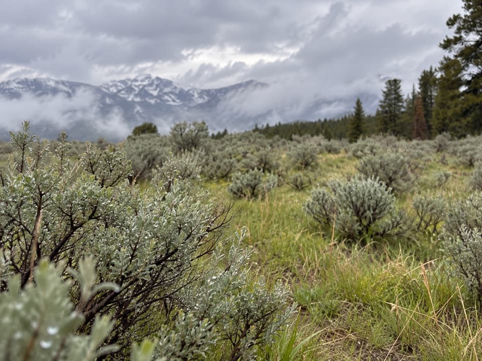
Thermal ground, two lakes, and a canyon rim return.

Photo: National Park Service
Length
6.1mi
Time
3.5hr
Elev. change
466ft
Difficulty
Moderate
  • Loop
  • No dogs
  • High point 8,015 ft
  • #23 of 167 in Yellowstone

Hear the audio tour

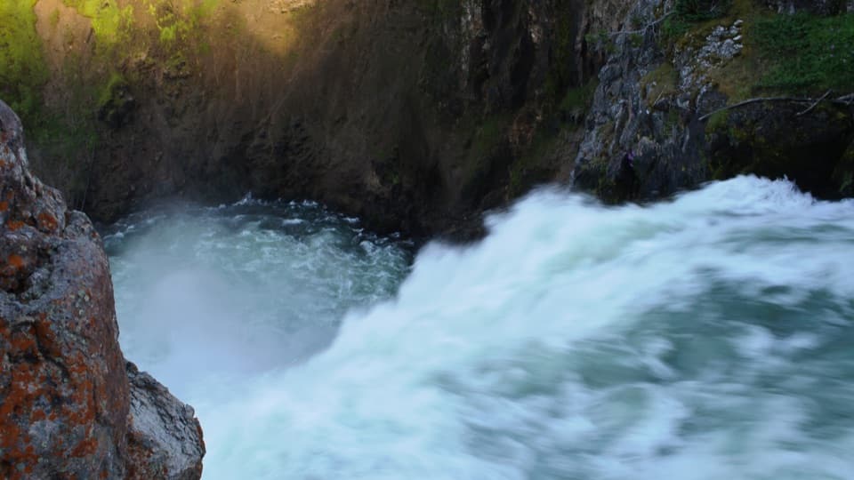
Upper Falls Viewpoints and Clear Lake

Overview

About Clear Lake–Ribbon Lake Loop Trail

Why go

  • Lakes, thermal features and canyon scenery in one loop
  • The South Rim return adds a distinct finish

Heads up

  • No water sources along the route
  • About 900 feet of total climbing

Map & elevation

The route

Loading the Yellowstone map
Full map
Elevation7,549–8,015 ft
TrailheadUncle Tom’s Point Parking Area44.71500, -110.49578
Keep this map with you offline in the Parkwolf app

Plan your hike

Before you go

Parking

Park at Uncle Tom’s Point Parking Area on South Rim Drive, about 2.3 miles south of Canyon Junction. Cross the road to the south for the Clear Lake trailhead; the paved South Rim Trail returns to the parking area. Vault toilets are at the west end of the Artist Point lot along the return.

Safety

Thin hydrothermal crust near Clear Lake can break through to scalding water; stay on the marked trail. There is no water source along the route.

5 active Yellowstone alerts

  • ClosureBiscuit Basin closed after hydrothermal explosionBiscuit Basin’s parking lot, boardwalk, and Firehole River are closed to all travel.Official details
  • ClosureMost Yellowstone roads close to regular vehicles November 1Most Yellowstone roads and the West, South, and East entrances are scheduled to close to regular vehicles November 1, 2026, as the park prepares for winter operations.Official details
See all 5 alerts
A park ranger sits on a dash-mounted phone, talking, as Parkwolf’s Tour Guide plays “Army Cutworm Moths: A Grizzly Bear Buffet” on Grand Loop Road below Dunraven Pass in Yellowstone
Parkwolf Tour GuideThe highest, rockiest slopes around here are a summer buffet for grizzly bears.

Yellowstone Tour Guide

Hear Yellowstone as you drive it.

Parkwolf is a GPS audio tour guide for Yellowstone National Park. As you drive, it chimes in with what’s ahead: hidden gems, upcoming stops, history, geology, and wildlife, right through your car’s speakers.

See the Yellowstone audio tour

Recorded for this trailhead

Upper Falls Viewpoints and Clear Lake
0:00 / 0:30
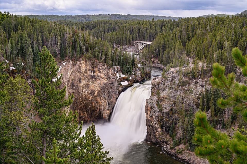
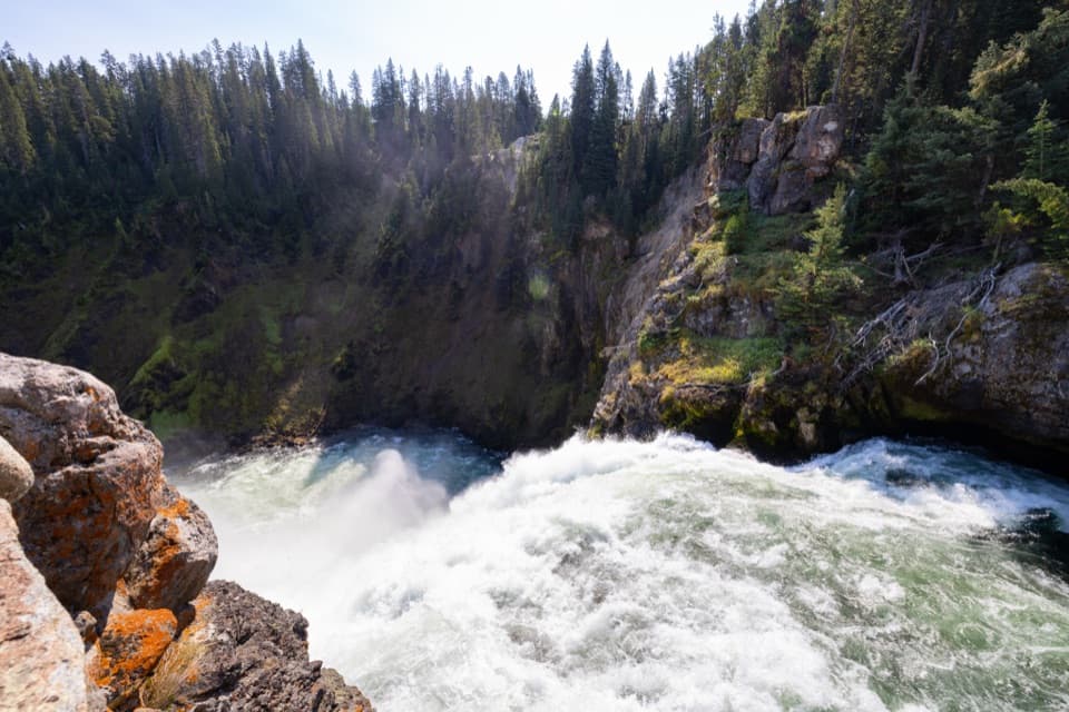
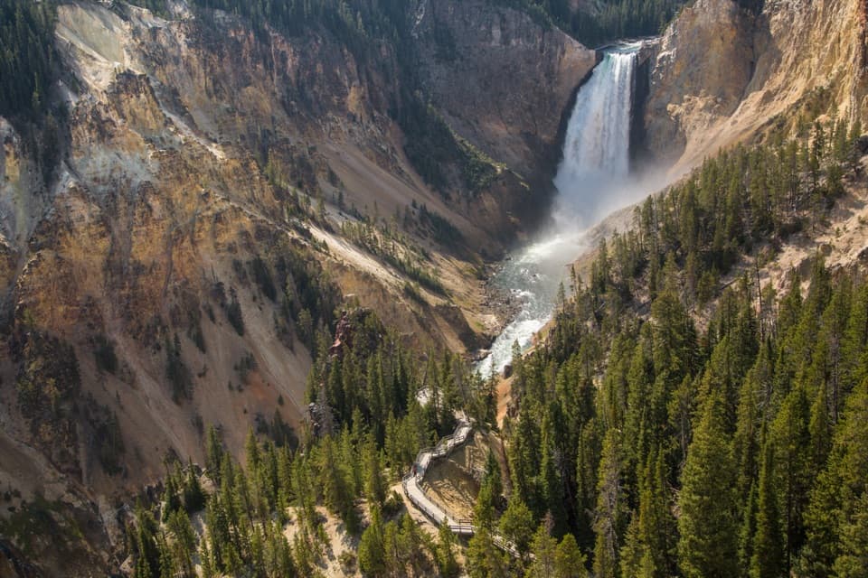
“Upper Falls Viewpoints is coming up on South Rim Drive. Stop here for a short paved walk to a view across the gorge, with the waterfall and Chittenden Bridge together.”

Plays as you drive up to this trailhead in the Parkwolf Yellowstone Tour Guide.

More stories near here in the app

  • Brink of the Upper Falls
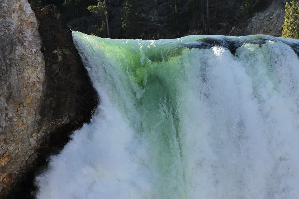
  • Brink of the Lower Falls
  • Lookout Point and Grand View
  • Chittenden Bridge and South Rim Trail
  • 243 audio storiesacross Yellowstone’s roads, triggered by GPS as you drive
  • Wildlife heatmapsfor Wolf, Grizzly Bear, Bison, and 13 more
  • Works offlinemaps, 167 trails, 192 places, and audio download before you lose signal
  • CarPlay readysimple controls built for the drive
★★★★★
“First time driving through a national park. We used the Yellowstone tour on grand loop Road and it’s just like having a tour guide in your car with you.”
Jyg5001App Store review
Download Parkwolf on the App StoreGet Parkwolf on Google Play

4.7 from 8,600+ ratings

Trail guide

Hiking Clear Lake–Ribbon Lake Loop Trail

What the full loop coversThe Clear Lake–Ribbon Lake Loop is about 6.

The Clear Lake–Ribbon Lake Loop is about 6.1 miles, joining a hydrothermal lake, a second lake with lily-pad margins, and a return along the Grand Canyon of the Yellowstone. Allow 3 to 4 hours. The mapped line measures about 6.2 miles; an older route map gives 5.8, so expect a little variation with the trailhead access and exact rim alignment. This is a good half-day walk if you want lakes and canyon views together. The separate 5.8-mile Ribbon Lake there-and-back is a different trip: this loop turns toward Artist Point and the South Rim instead of retracing all the way to the start.

Start at Uncle Tom’s PointPark at Uncle Tom’s Point, about 2.3 miles south of Canyon Junction on South Rim Drive.

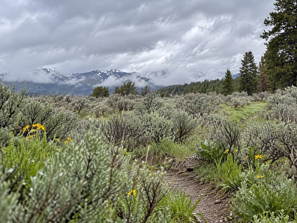
Park at Uncle Tom’s Point, about 2.3 miles south of Canyon Junction on South Rim Drive. The trail begins across the road to the south. It heads through trees, crosses a small meadow, and descends toward Clear Lake. At the Clear Lake junction, turn left and keep following the junction signs; the farther route is easy to confuse with shorter Clear Lake walks from another access point. One route description calls the loop moderately easy with little vertical rise, while another estimates about 900 feet of climbing. Treat it as a moderate outing, not a flat stroll.

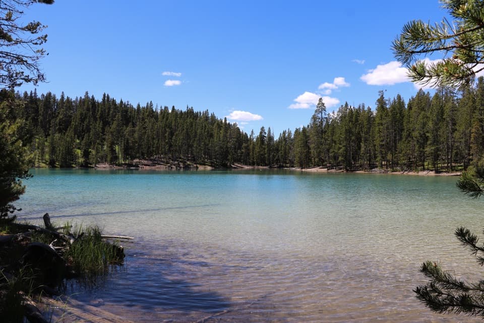
Clear Lake and the thermal groundClear Lake is the first big payoff, with bright turquoise water against the forest.

Clear Lake is the first big payoff, with bright turquoise water against the forest. The trail skirts nearby hydrothermal ground where steam vents and bubbling mud pots release a sulfur smell. It is tempting to step closer for a better look, but the crust around thermal features can be thin over scalding water. Stay on the marked trail. You can see the features from the route without stepping off the tread.

Through forest to Ribbon LakeBeyond Clear Lake, the path continues through forest and around smaller ponds and wet ground…

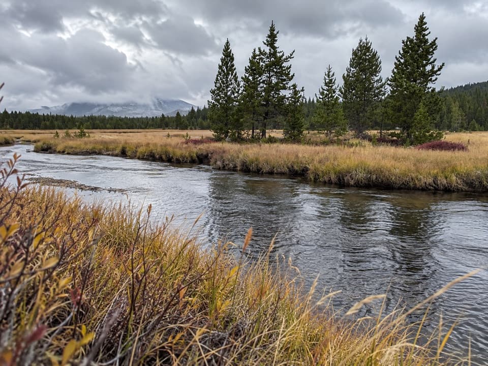
Beyond Clear Lake, the path continues through forest and around smaller ponds and wet ground before reaching Ribbon Lake. Its margins are dotted with lily pads, a softer scene after the bare, steaming ground near Clear Lake. Follow the marked junctions to the lake rather than turning back when the path reaches the shoreline: this longer circuit is what connects the two lakes with the South Rim return.

Make the loop at Lily Pad LakeFrom Ribbon Lake, the trail reaches its outlet and the canyon edge.

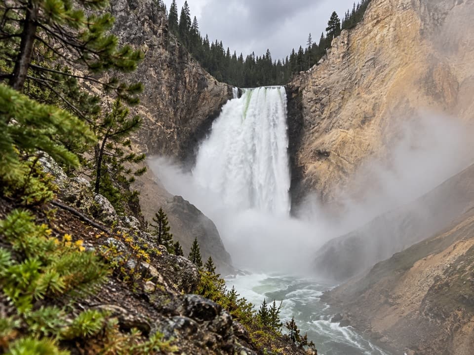
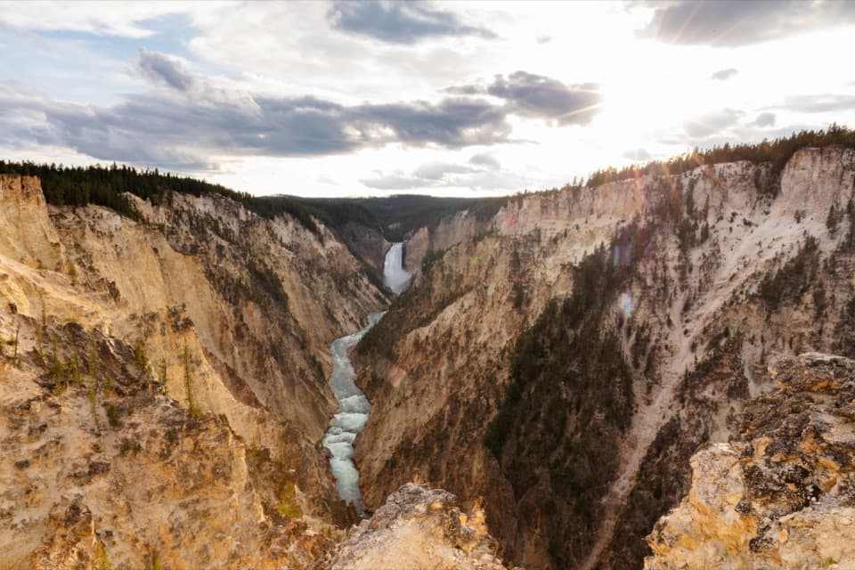
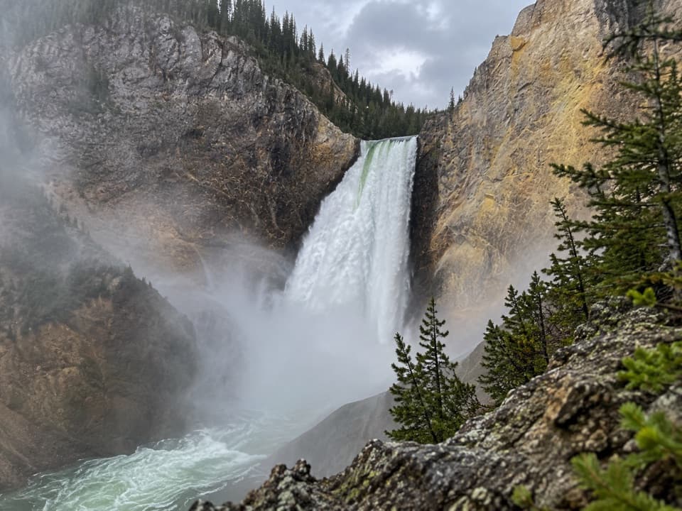
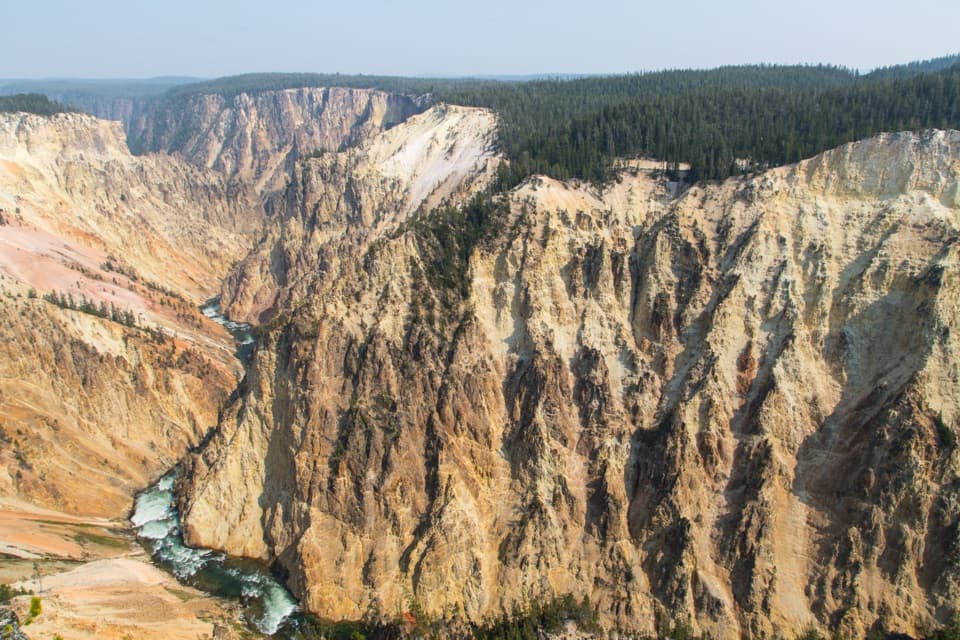
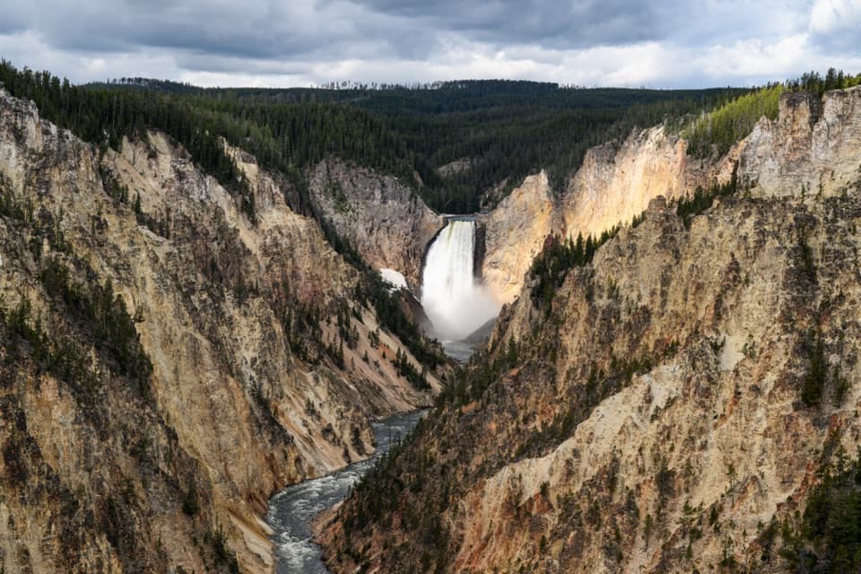
From Ribbon Lake, the trail reaches its outlet and the canyon edge. Surface Creek drops into the Grand Canyon as Silver Cord Cascade; the waterfall can be hard to pick out from above, so take a moment to look across the canyon rather than expecting a close-up. At Lily Pad Lake junction, take the right-hand branch for the loop. A further junction points toward Point Sublime and Artist Point. Head west to Artist Point, then connect to the paved South Rim Trail at the southwest end of the parking area. The last stretch follows the canyon edge back to your car. Vault toilets are at the west end of that lot, along the return.
Before you set outThere is no water source on the trail, so bring enough for the full walk. Pets are not allowed.

There is no water source on the trail, so bring enough for the full walk. Pets are not allowed. The park lists the route for summer and fall. If you want a shorter lake walk, a separate 4-mile out-and-back from the Wapiti Lake Trail junction reaches Ribbon Lake, but it starts elsewhere and skips this loop’s canyon-rim finish.

Wildlife

Wildlife in Yellowstone

All Yellowstone wildlife maps

Sighting maps show where each species has been reported across Yellowstone. Wildlife moves, so no sighting is guaranteed.

Keep exploring

Near Clear Lake–Ribbon Lake Loop Trail

See it all on the map

Trails that start nearby

Places near the trailhead

Parkwolf’s Yellowstone ranking

Top-rated trails in Yellowstone

All 167 trails
  1. 1Old Faithful to Morning Glory Pool TrailEasy · 2.7 mi
  2. 2Grand Prismatic Overlook TrailEasy · 1.6 mi
  3. 3Dunraven Pass–Mount Washburn TrailChallenging · 7 mi
  4. 4Midway Geyser Basin TrailEasy · 0.7 mi
  5. 5Brink of the Lower Falls TrailChallenging · 0.7 mi
  6. 6Fairy Falls TrailEasy · 4.5 mi

Take Parkwolf to Yellowstone.

The audio tour guide for the drive, plus offline maps, trails, and wildlife heatmaps for when the signal drops.

4.7 from 8,600+ ratings

Download Parkwolf on the App StoreGet Parkwolf on Google Play