Pros & cons
PROS
- Jaw-dropping, up-close viewpoint right beside the 308-foot drop
- Short, paved switchbacks with benches and flush toilets at the lot
- Large paved parking lot on North Rim Drive
CONS
- Steep climb back up; the return is the workout
- Platform is small and gets crowded; parking fills in peak hours
Overview
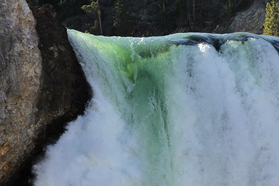
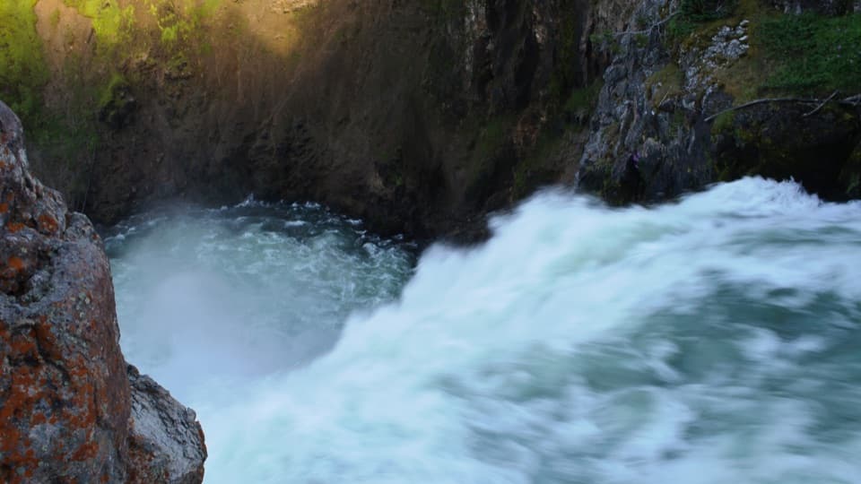
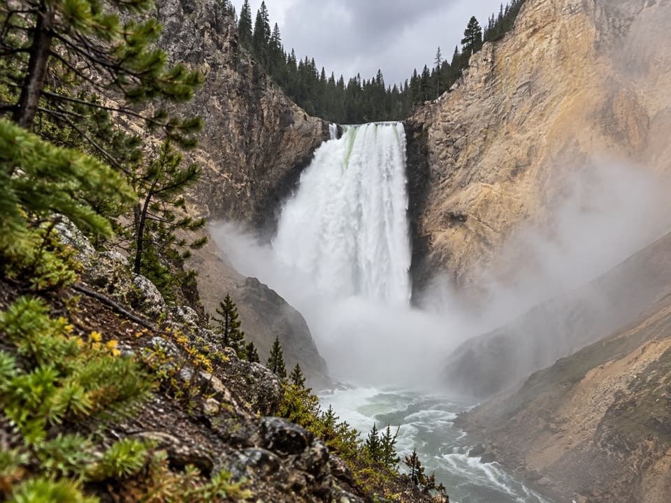
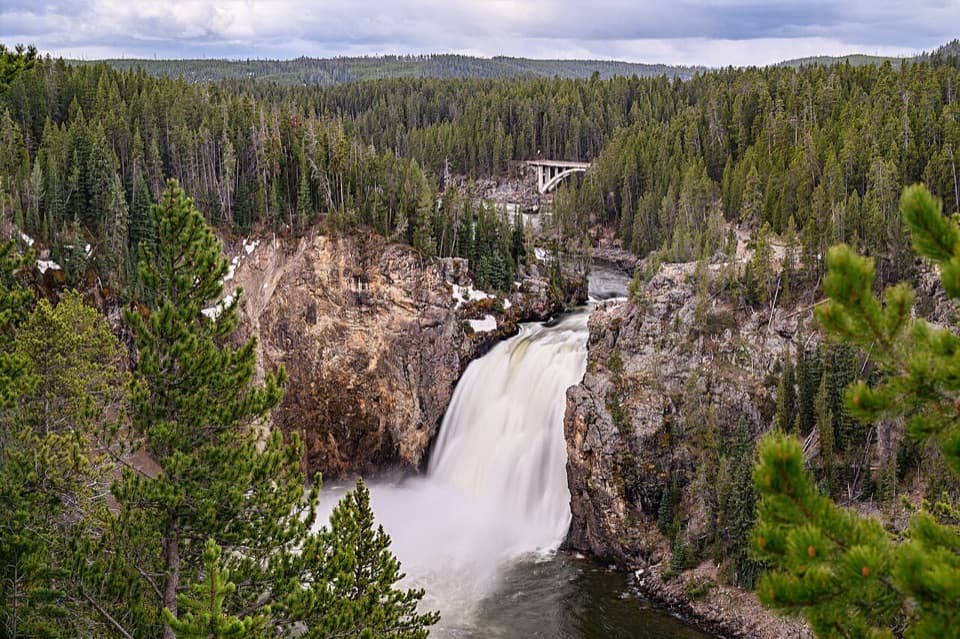
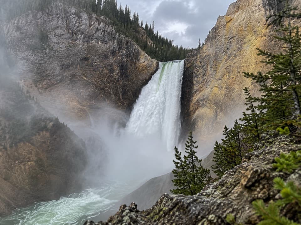
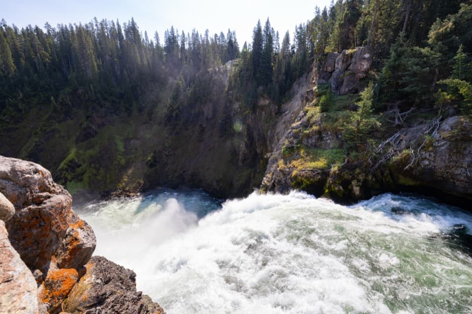
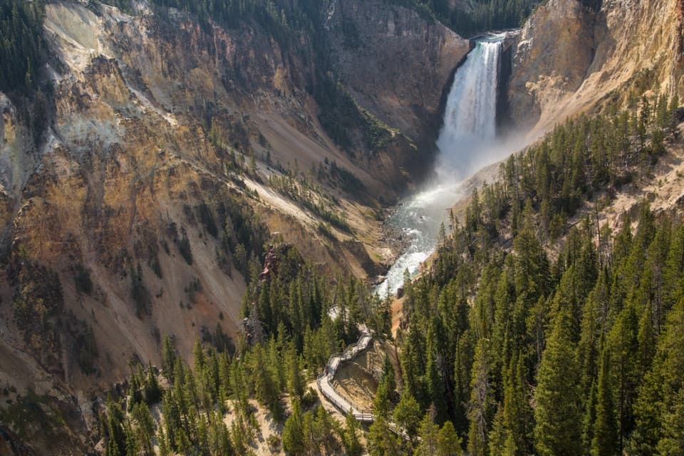
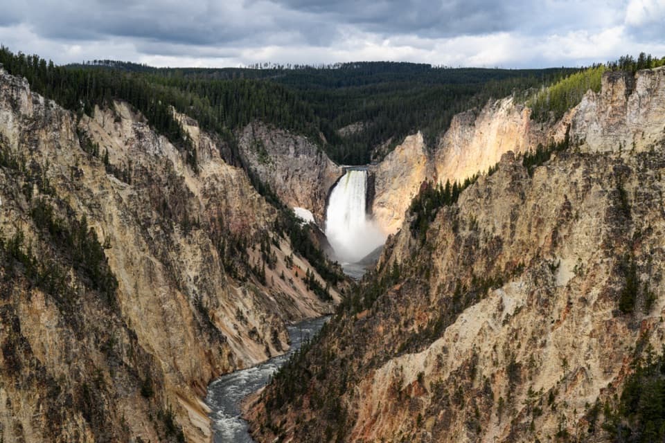
If you want to feel the Lower Falls, not just see them, this is the spot. The trail drops you to a platform perched at the very brink, where the Yellowstone River launches 308 feet into the Grand Canyon of the Yellowstone. The roar, the mist, and the canyon’s color-streaked walls make this one of the park’s most visceral viewpoints.
The Hike
- Distance/time: about 0.7 miles round-trip; most folks take 30–45 minutes.
- Elevation: roughly 265–330 feet via a string of steep, paved switchbacks.
- Surface: mostly paved with some gravel/hard-packed sections; benches at many switchbacks make great catch-your-breath stops.
- Expect a mellow descent and a punchy climb back—short but stout.
What You’ll See
- The river racing to the edge and exploding into the 308-foot drop.
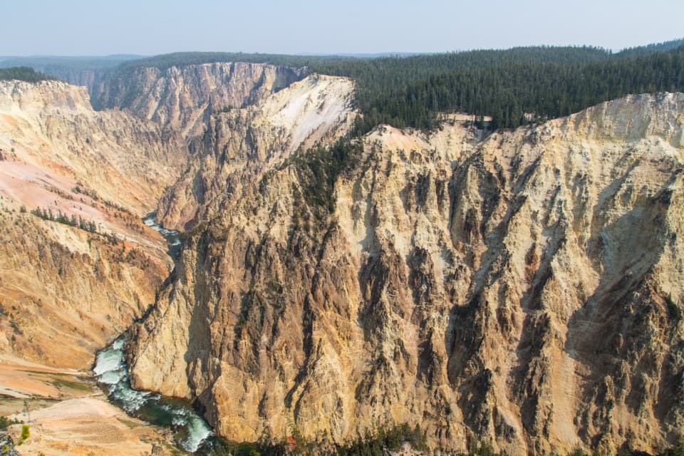
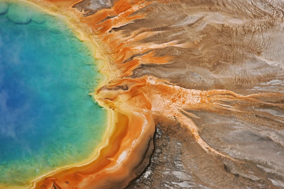
- Big looks down-canyon at the multihued, hydrothermally altered walls and occasional puffs of steam.
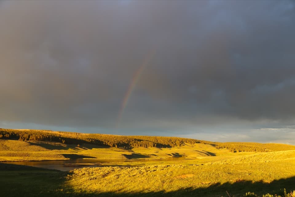
- On sunny mornings, rainbows often hang in the mist.
Logistics
- Location: off the one-way North Rim Drive, just south of Canyon Village.
- Parking: large paved lot; it fills quickly in summer.
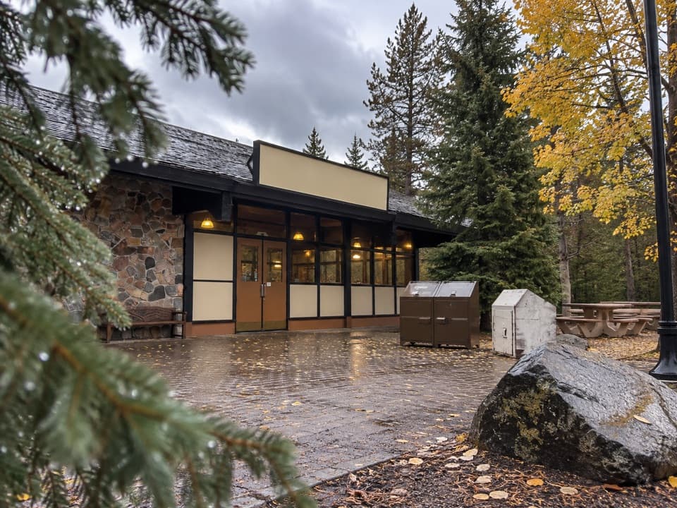
- Restrooms: flush toilets by the lot.
- A short spur near the start offers a different peek at the Upper Falls.
Best Time to Visit
- Season: Best June–September; the trail is closed in winter.
- Daylight: Go early or late to dodge the heaviest crowds and harsh midday glare. Morning light is kinder—and your best shot at rainbows.
- Sunset can paint the canyon beautifully, but expect a tougher climb back as temps cool.
Wildlife & Nature Notes
- Watch for raptors, including osprey, riding thermals above the cliffs.
- The canyon’s vivid yellows and reds come from hydrothermal alteration of volcanic rocks—geology on full display from this perch.
Safety & Etiquette
- The grade is steep; take it slow on the way back up.
- Mist can slick the pavement near the brink—wear sturdy shoes.
- Stay behind railings and keep a close eye on kids; it’s a tight, busy platform.
- Standard Yellowstone rules apply: no pets on trails; pack out your trash. Carry bear spray and give wildlife space.
Bottom Line
Short, steep, and absolutely worth it. If you pick one close-up of the canyon’s power, make it this one.
Where it is
44.7182, -110.4963Brink of the Lower Falls
Tips for Brink of the Lower Falls
- 01Arrive early or late to snag a parking spot and some elbow room.
- 02Budget 30–45 minutes and pace the climb; benches break up the ascent.
- 03Wear sturdy shoes—mist near the brink can make the pavement slick.
- 04Sunny mornings often produce rainbows in the spray for photos.
- 05Take the short spur near the start for a quick look at the Upper Falls.
Amenities
Near Brink of the Lower Falls
All places →All trails →
0 mi awayBrink of the Lower Falls TrailShort, steep paved drop to stand at the roaring brink of Lower FallsModerate · 0.7 mi · 30 min
0 mi awayLower Yellowstone FallsYellowstone River’s 308‑foot plunge framed by a painted canyonParking · Scenic Viewpoint
0.2 mi awayCrystal FallsQuiet side waterfall between Upper and Lower FallsParking · Pullout
0.2 mi awayUncle Tom's Upper Falls Viewing AreaEasy overlook for roaring Upper Falls with a peek at Crystal FallsParking · Restroom
0.3 mi awayClear Lake TrailShort loop mixing lakes, meadows, canyon views, and hot springsEasy · 4.6 mi · 2.5 hr
0.3 mi awayRed Rock PointSteep spur to a face-on view of roaring Lower FallsParking · Scenic Viewpoint
0.4 mi awayBrink of the Upper Falls TrailStand at the lip of Upper Falls on a short, paved strollEasy · 0.3 mi · 15 min
0.4 mi awayRed Rock Point TrailShort, steep stair climb to a head-on Lower Falls roarModerate · 0.7 mi · 30 min