Thunderer Cutoff Trail in Yellowstone National Park

Yellowstone National Park, WY · MT · ID

Thunderer Cutoff Trail

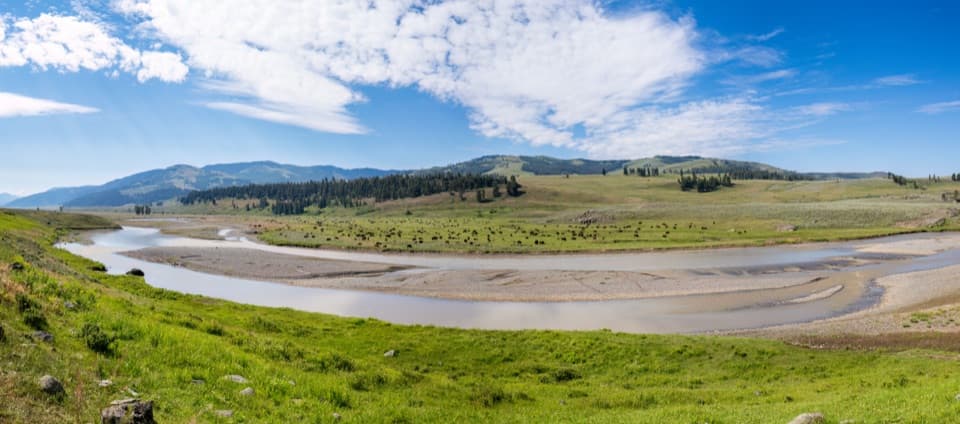
A lonely climb to Chaw Pass and the Cache Creek backcountry.

Photo: Flickr
Length
9.8mi
Time
6.5hr
Elev. change
1,975ft
Difficulty
Challenging
  • No dogs
  • High point 8,832 ft

Hear the audio tour

A Seafloor in the Limestone

Overview

About Thunderer Cutoff Trail

Why go

  • Views of The Thunderer, Amphitheater Valley, and the upper Cache Creek country.
  • A shorter 7.4-mile round trip is possible by turning at Chaw Pass.

Heads up

  • The Soda Butte Creek ford can be difficult during snowmelt.
  • Poor markings and a long climb demand backcountry navigation.

Map & elevation

The route

Loading the Yellowstone map
Full map
Elevation6,857–8,832 ft
TrailheadThunderer Trailhead44.92182, -110.09513
Keep this map with you offline in the Parkwolf app

Plan your hike

Before you go

Parking

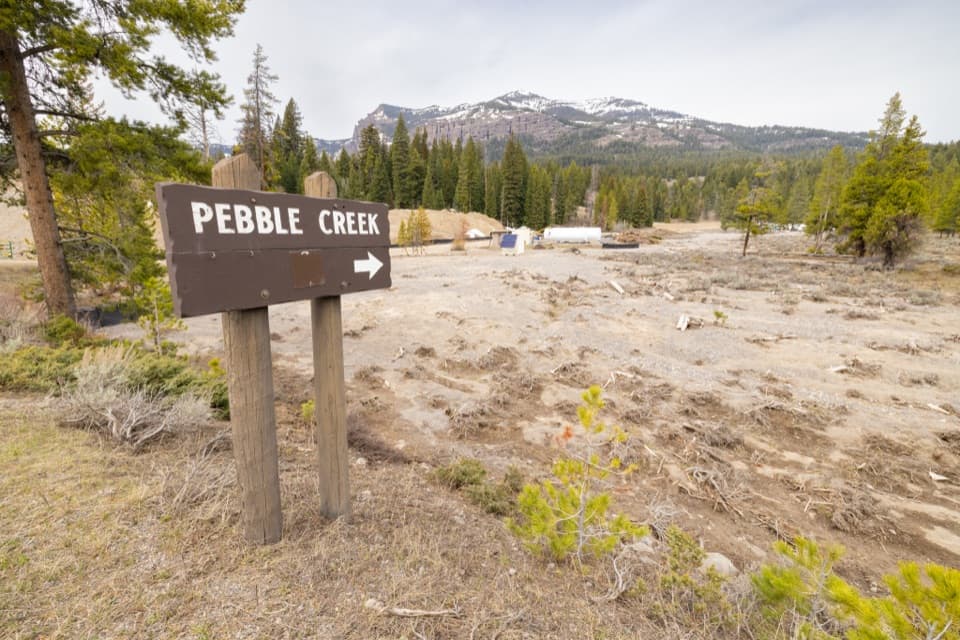
Use the Thunderer Trailhead pullout on the south side of Northeast Entrance Road, just north of Pebble Creek Campground. It is about 8.4 miles west of Northeast Entrance. This is not the remote Republic Pass Trailhead, which is not accessible by road.

Safety

Soda Butte Creek must be forded within the first quarter mile; early-season snowmelt can make the crossing difficult. The rugged route is poorly marked and remote. Bring reliable navigation and bear spray, and know how to use it.

5 active Yellowstone alerts

  • ClosureBiscuit Basin closed after hydrothermal explosionBiscuit Basin’s parking lot, boardwalk, and Firehole River are closed to all travel.Official details
  • ClosureMost Yellowstone roads close to regular vehicles November 1Most Yellowstone roads and the West, South, and East entrances are scheduled to close to regular vehicles November 1, 2026, as the park prepares for winter operations.Official details
See all 5 alerts
A park ranger sits on a dash-mounted phone, talking, as Parkwolf’s Tour Guide plays “Army Cutworm Moths: A Grizzly Bear Buffet” on Grand Loop Road below Dunraven Pass in Yellowstone
Parkwolf Tour GuideThe highest, rockiest slopes around here are a summer buffet for grizzly bears.

Yellowstone Tour Guide

Hear Yellowstone as you drive it.

Parkwolf is a GPS audio tour guide for Yellowstone National Park. As you drive, it chimes in with what’s ahead: hidden gems, upcoming stops, history, geology, and wildlife, right through your car’s speakers.

See the Yellowstone audio tour

Recorded for this area

A Seafloor in the Limestone
0:00 / 0:32
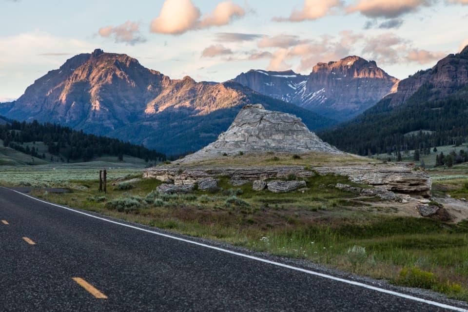
“The limestone around Pebble Creek has a story that starts in a shallow sea. Some layers contain fossils of brachiopods, shelled animals that lived on the seafloor hundreds of millions of years ago.”

Plays on the road 0.1 mi from the trailhead in the Parkwolf Yellowstone Tour Guide.

More stories near here in the app

  • An Orchid’s Empty Offer
  • Newcomers on the High Ridges
  • Trout Lake Trailhead
  • Boulders Carried by Ice
  • 243 audio storiesacross Yellowstone’s roads, triggered by GPS as you drive
  • Wildlife heatmapsfor Wolf, Grizzly Bear, Bison, and 13 more
  • Works offlinemaps, 167 trails, 192 places, and audio download before you lose signal
  • CarPlay readysimple controls built for the drive
★★★★★
“First time driving through a national park. We used the Yellowstone tour on grand loop Road and it’s just like having a tour guide in your car with you.”
Jyg5001App Store review
Download Parkwolf on the App StoreGet Parkwolf on Google Play

4.7 from 8,600+ ratings

Trail guide

Hiking Thunderer Cutoff Trail

A long backcountry out-and-backThunderer Cutoff is a 9.8-mile out-and-back to Cache Creek and back, usually a 5.5–7.5-hour day.

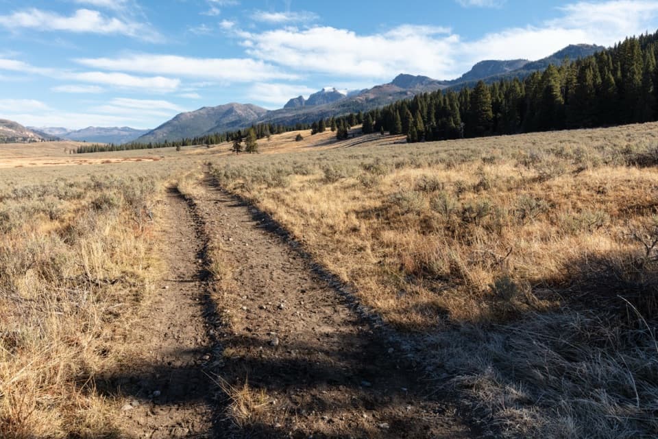
Thunderer Cutoff is a 9.8-mile out-and-back to Cache Creek and back, usually a 5.5–7.5-hour day. From the road-side Thunderer Trailhead, the route crosses Soda Butte Creek, climbs to Chaw Pass, then descends into the upper Cache Creek country before returning the same way. It is rugged and poorly marked, with a substantial climb and little signage. If you want a shorter day, turning at Chaw Pass makes a 7.4-mile round trip.

The ford and forest climbThe first quarter mile reaches Soda Butte Creek, which the route crosses on foot.

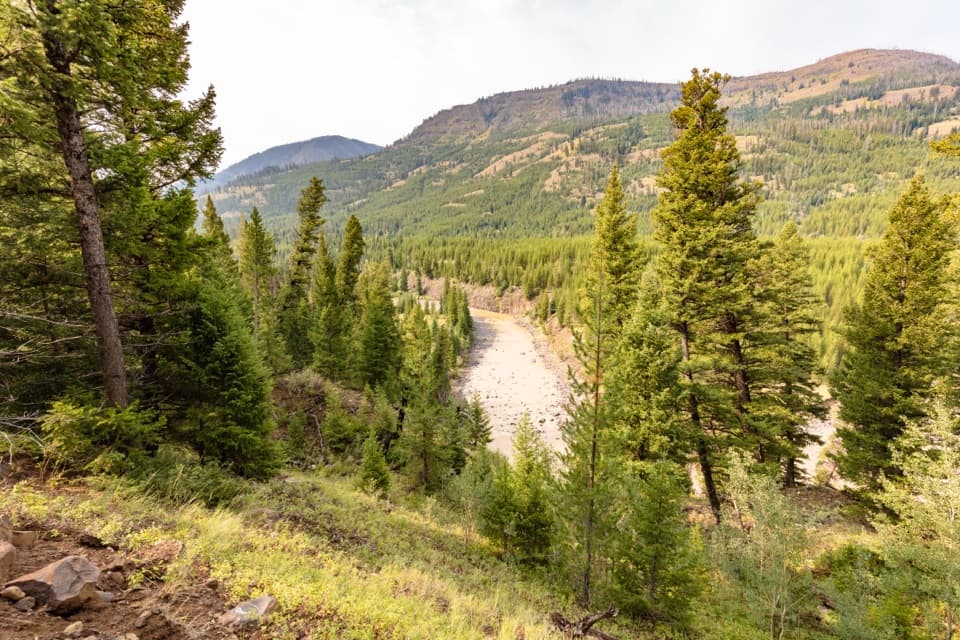
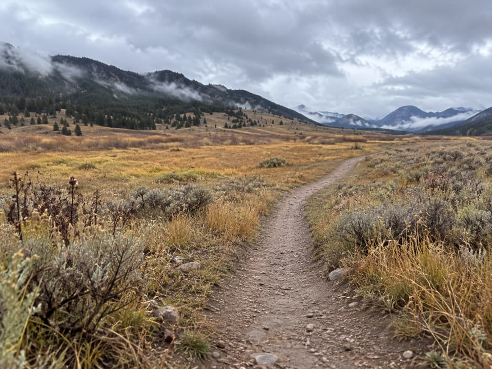
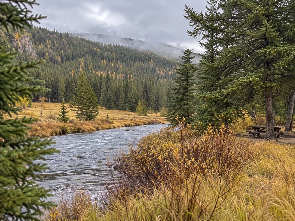
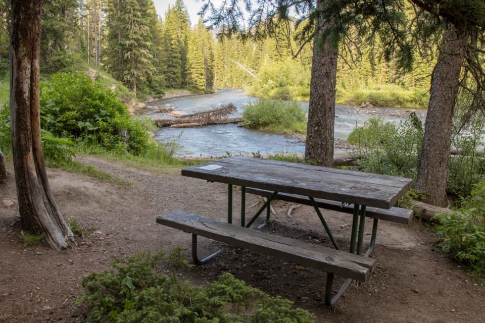
The first quarter mile reaches Soda Butte Creek, which the route crosses on foot. Snowmelt can make the ford difficult in June and early July; check current conditions and do not cross if the water is unsafe. Beyond it, the trail climbs steadily through mature forest. The tread is not always obvious, so bring reliable navigation and know how to use it.

Chaw Pass and the viewsChaw Pass is the saddle between The Thunderer and Amphitheater Mountain, reached after more…

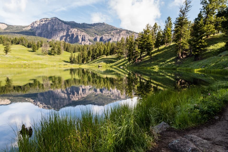
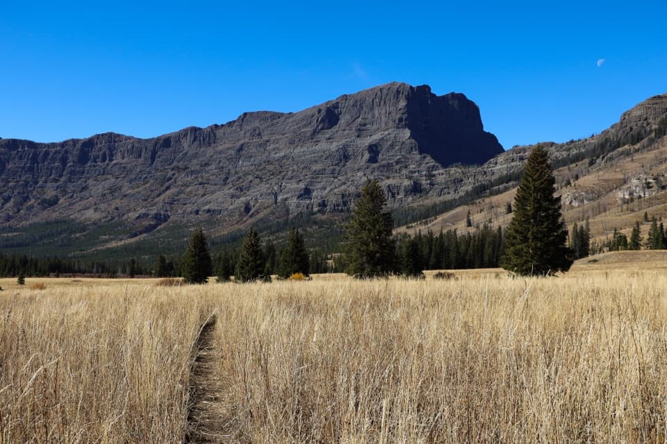
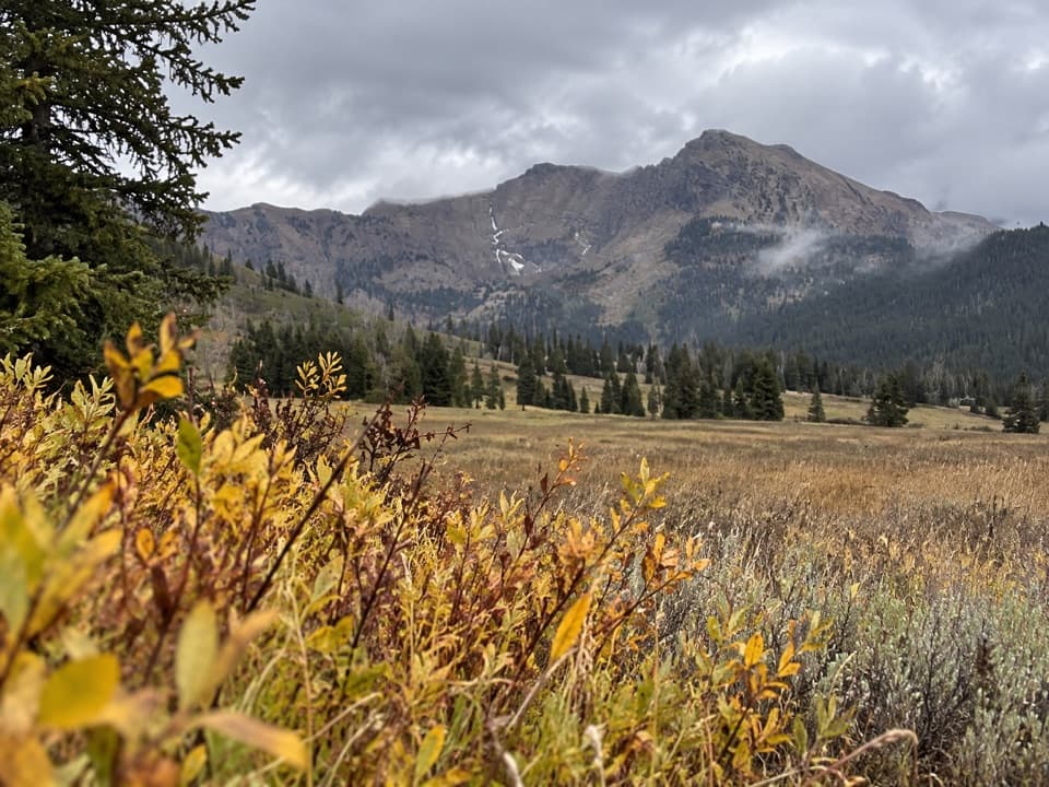
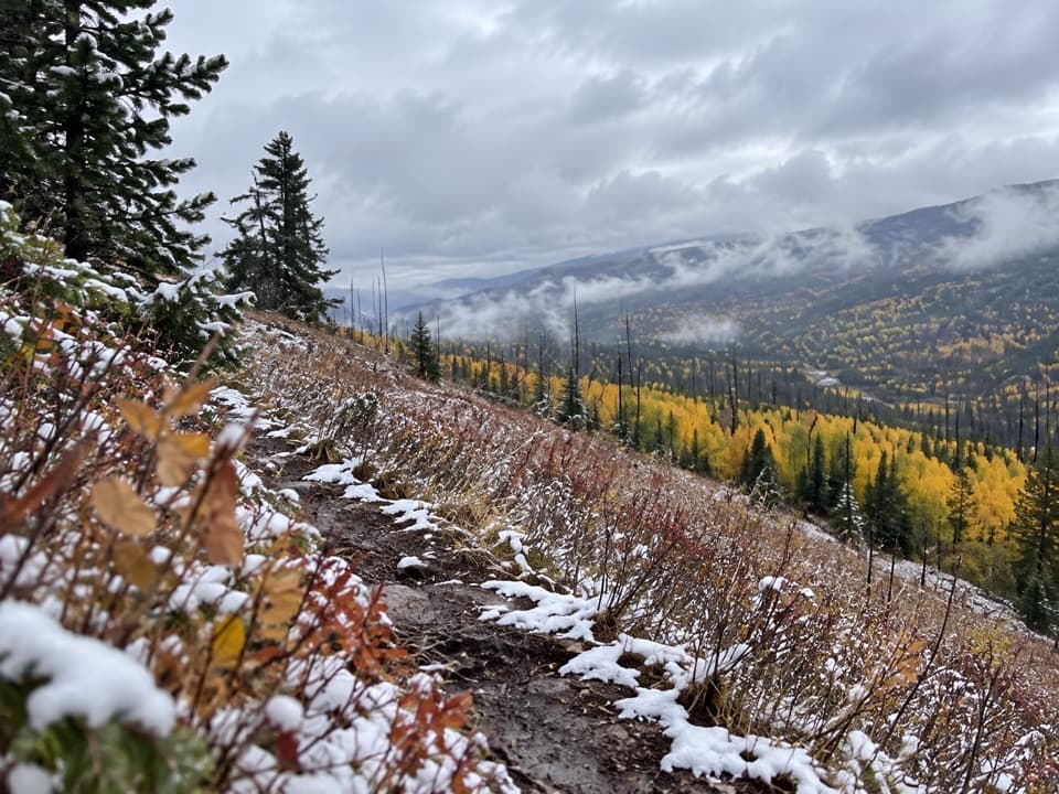
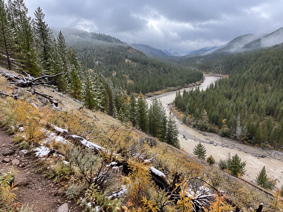
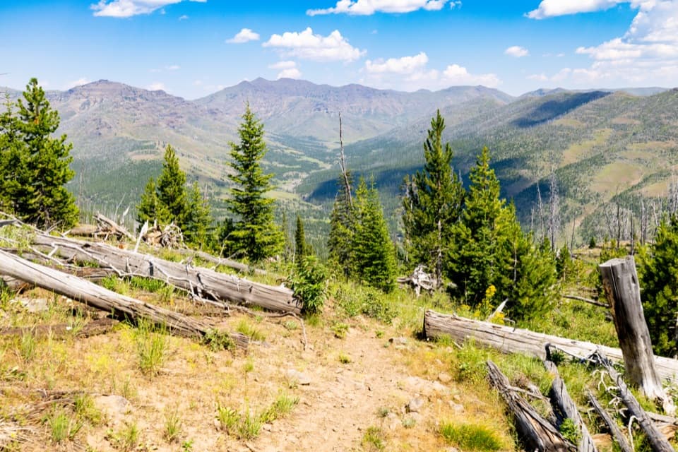
Chaw Pass is the saddle between The Thunderer and Amphitheater Mountain, reached after more than 1,700 feet of climbing. The ascent is forested, then the pass opens across country burned in the 1988 fires. Breaks in the trees and the saddle look toward The Thunderer and Amphitheater Valley. For a photo, keep part of the trail or the fallen logs in the foreground to show the scale of the valley beyond.

Continuing to Cache CreekThe full route continues over the pass and descends toward Cache Creek, then turns back to…

The full route continues over the pass and descends toward Cache Creek, then turns back to retrace the same path. That descent adds a climb on the return, so the Cache Creek version takes longer than the Chaw Pass turnaround. Bighorn sheep and mountain goats use the surrounding mountains; treat them as wildlife to watch from a distance, not a guaranteed sighting.

Finding the right startStart at the Thunderer Trailhead pullout on the south side of Northeast Entrance Road, just…

Start at the Thunderer Trailhead pullout on the south side of Northeast Entrance Road, just north of Pebble Creek Campground. From Northeast Entrance, the pullout is about 8.4 miles west. The similarly named Republic Pass Trailhead is a different, remote access point that is not reachable by road. Pets are not allowed on Yellowstone hiking trails or in the backcountry. This is bear country; carry bear spray and know how to use it.

Wildlife

Wildlife in Yellowstone

All Yellowstone wildlife maps

Sighting maps show where each species has been reported across Yellowstone. Wildlife moves, so no sighting is guaranteed.

Keep exploring

Near Thunderer Cutoff Trail

See it all on the map

Trails that start nearby

Places near the trailhead

Parkwolf’s Yellowstone ranking

Top-rated trails in Yellowstone

All 167 trails
  1. 1Old Faithful to Morning Glory Pool TrailEasy · 2.7 mi
  2. 2Grand Prismatic Overlook TrailEasy · 1.6 mi
  3. 3Dunraven Pass–Mount Washburn TrailChallenging · 7 mi
  4. 4Midway Geyser Basin TrailEasy · 0.7 mi
  5. 5Brink of the Lower Falls TrailChallenging · 0.7 mi
  6. 6Fairy Falls TrailEasy · 4.5 mi

Take Parkwolf to Yellowstone.

The audio tour guide for the drive, plus offline maps, trails, and wildlife heatmaps for when the signal drops.

4.7 from 8,600+ ratings

Download Parkwolf on the App StoreGet Parkwolf on Google Play