Parking
Start at the large lot at Soda Butte / Lamar River Trailhead (3K1), off the Northeast Entrance Road. An information kiosk is at the trailhead.
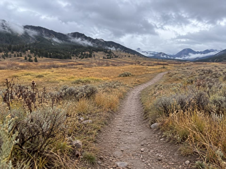
Yellowstone National Park, WY · MT · ID
A long, strenuous push from Lamar Valley into high backcountry.
Overview
Map & elevation
Plan your hike

The highest, rockiest slopes around here are a summer buffet for grizzly bears.
Yellowstone Tour Guide
Parkwolf is a GPS audio tour guide for Yellowstone National Park. As you drive, it chimes in with what’s ahead: hidden gems, upcoming stops, history, geology, and wildlife, right through your car’s speakers.
See the Yellowstone audio tourRecorded for this trailhead
Lamar River Trailhead and Cache Creek“You're nearing the Soda Butte and Lamar River trailhead, for a walk above Lamar Valley's grasslands.”
Plays as you drive up to this trailhead in the Parkwolf Yellowstone Tour Guide.
More stories near here in the app
“First time driving through a national park. We used the Yellowstone tour on grand loop Road and it’s just like having a tour guide in your car with you.”


Trail guide
Cache Creek Trail is a 37.6-mile (60.5-km) out-and-back from Soda Butte / Lamar River Trailhead (3K1). It follows the shared trail corridor through Lamar Valley, then turns up Cache Creek into the Absaroka Mountains toward Yellowstone’s northeast boundary. It is long and strenuous; budget about 18 hours of walking, plus time for stops. At this distance and remoteness, plan it as a backcountry trip rather than a casual valley walk.
The route begins on shared marked trails from the large trailhead, then turns into the Cache Creek drainage and continues upstream. The creek valley opens into grassland beneath wooded slopes before the trail climbs farther into the mountains. Keep the established route at junctions: a field account describes multiple bison trails in the drainage that can be easy to confuse with the hiking line.
A recent multi-day trip through this drainage recorded antelope, bison, moose, elk, deer, bighorn sheep, and mountain goats. Those are possible sightings, not a promise; give wildlife room. Yellowstone’s waters can be swift and cold, and crossings are hazardous. Snowmelt can keep streams high into summer.
Pets are not allowed on Yellowstone hiking trails or in the backcountry. Every overnight stay requires a permit for specified campsites and dates; use designated campsites and follow the park’s food-storage rules.
Wildlife
 713 sightingsGrizzly BearMost seen around 6 AMSighting map
 743 sightingsWolfMost seen around 6 AMSighting map
 5,273 sightingsBisonMost seen around 7 AMSighting map
 3,258 sightingsElkMost seen around 7 PMSighting map
 397 sightingsMooseMost seen around 7 PMSighting map
 1,494 sightingsBlack BearMost seen around 7 PMSighting map
Sighting maps show where each species has been reported across Yellowstone. Wildlife moves, so no sighting is guaranteed.
Keep exploring
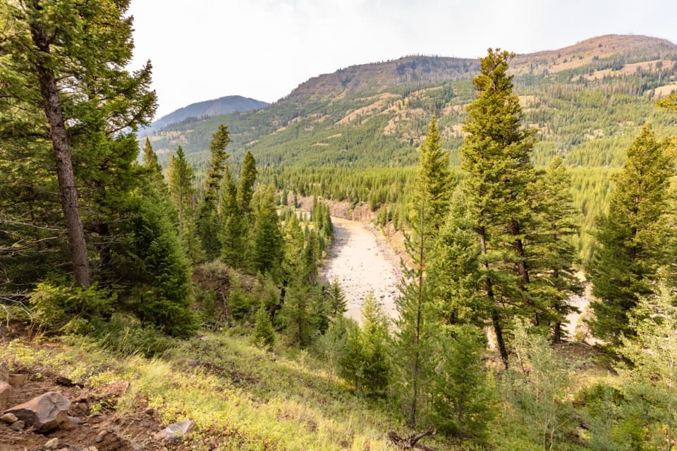 ChallengingLamar River Trail33 mi · 18 hr · At the trailheadA 33-mile out-and-back along Lamar River to Cold Creek.
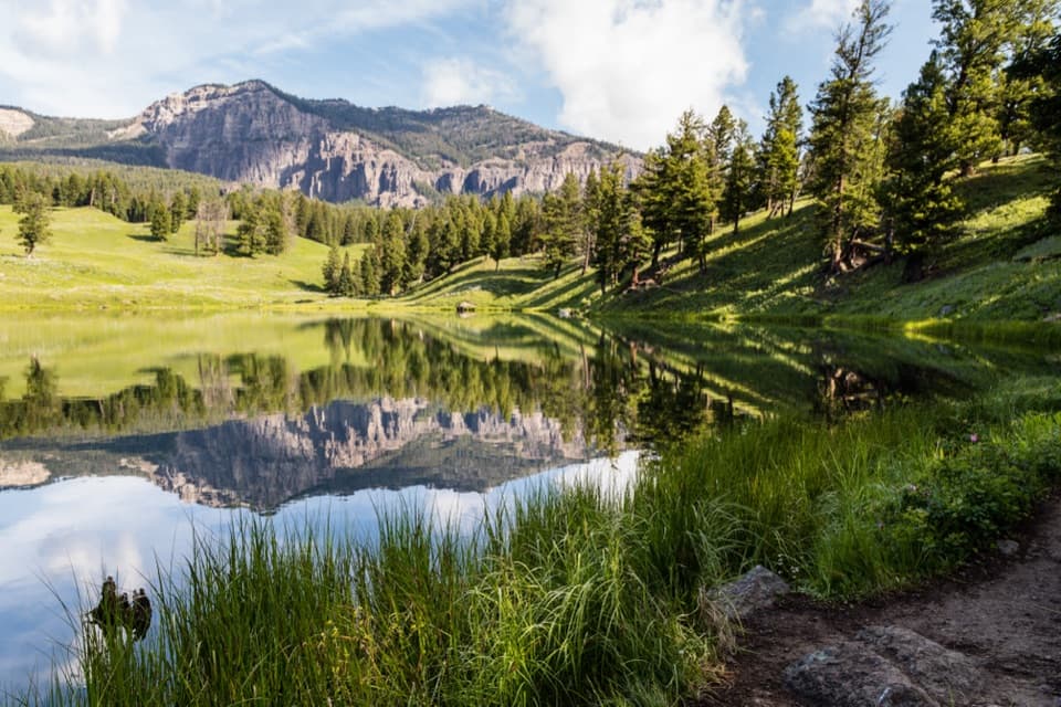 ModerateTrout Lake Trail1.2 mi · 1.5 hr · 3 mi awayA steep climb leads to a still lake beneath rugged peaks.
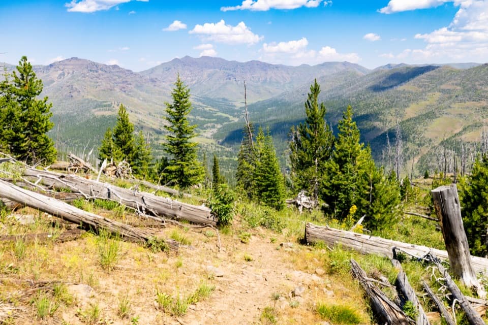 ChallengingThunderer Cutoff Trail9.8 mi · 6.5 hr · 5 mi awayA lonely climb to Chaw Pass and the Cache Creek backcountry.
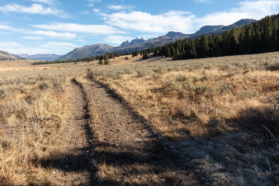 ModerateSlough Creek Trail3.4 mi · 3 hr · 8.6 mi awayClimb an old wagon road, then follow the creek into open meadows.
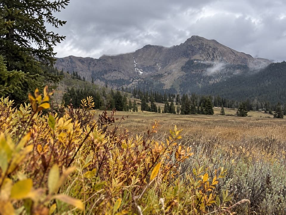 ChallengingBliss Pass Trail20.5 mi · 12 hr · 8.6 mi awayA 20.5-mile pass traverse links Slough and Pebble Creek valleys.
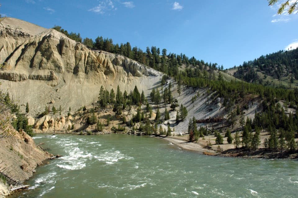 ModerateTower Fall Trail0.8 mi · 48 min · 10.9 mi awayA short switchback descent adds a riverbank below the falls.
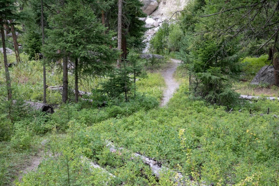 ModerateTower Creek Trail7 mi · 3.5 hr · 11.1 mi awayCreekside meadows and old burn, with a ford at the start.
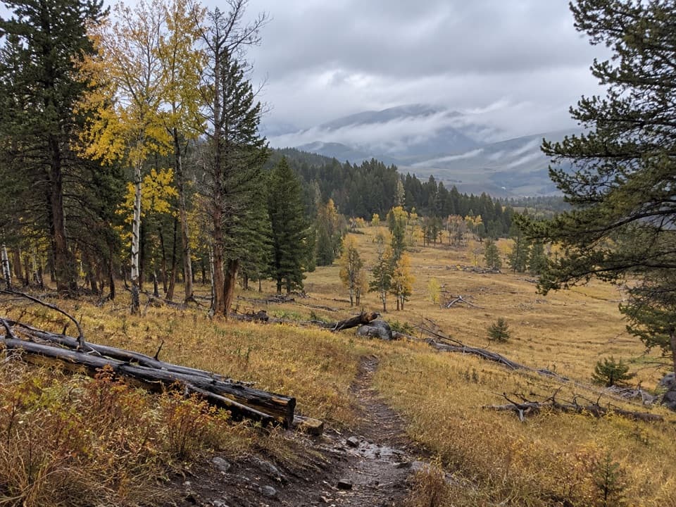 ModerateRoosevelt Lodge–Tower Fall Trail2.6 mi · 2 hr · 11.1 mi awayA steep climb opens to Tower Fall and Yellowstone River views.
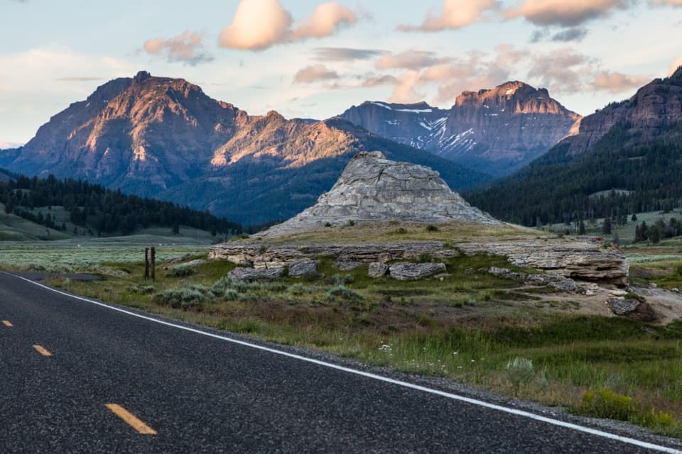 Sight · 0.9 mi awaySoda Butte ConeA quick roadside stop for a pale cone and valley views.
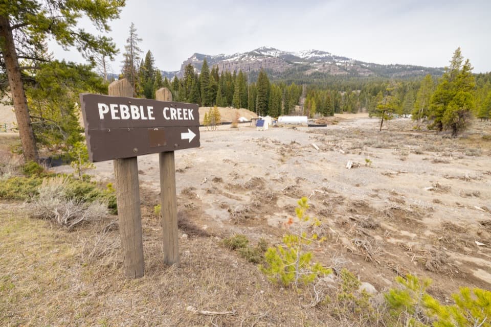 Campground · 4.2 mi awayPebble Creek CampgroundA creekside base for the park's rugged northeast corner.
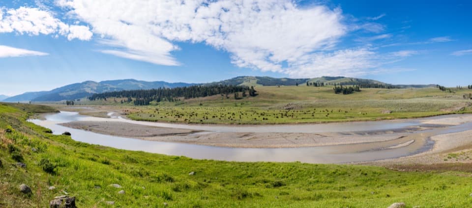 Sight · 5.9 mi awayLamar Valley Wildlife WatchingScan open grasslands for bison, wolves, and the northern range.
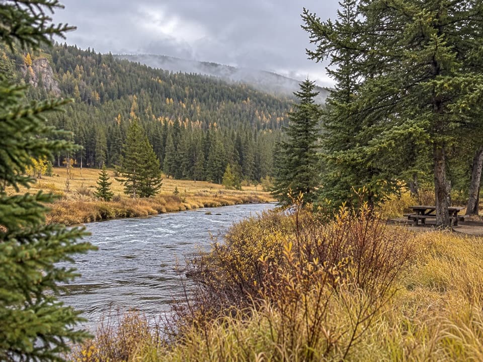 Picnic area · 6.1 mi awaySoda Butte Creek Picnic AreaA practical creekside spot for a picnic and leg stretch.
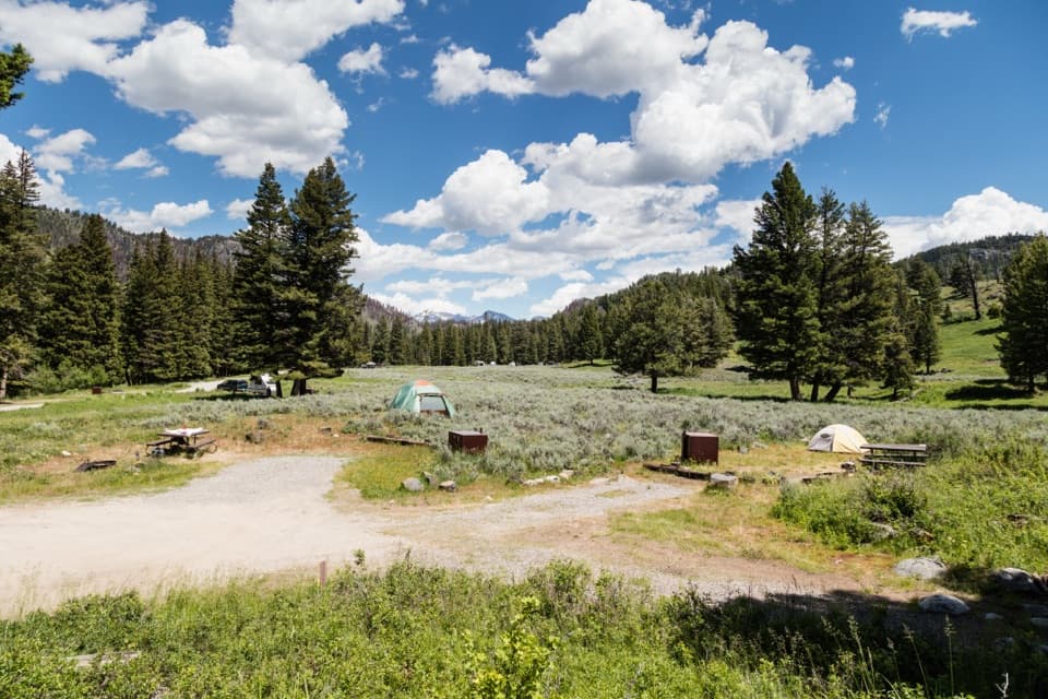 Campground · 8.9 mi awaySlough Creek CampgroundA quiet creekside camp for dark skies and a historic trail.
Parkwolf’s Yellowstone ranking

The audio tour guide for the drive, plus offline maps, trails, and wildlife heatmaps for when the signal drops.