Parking
Use the Lookout Point parking area on North Rim Drive. Follow the short paved walkway south to the fork and take the right-hand path for Red Rock Point; the left branch leads to Canyon Overlook.
Yellowstone National Park, WY · MT · ID
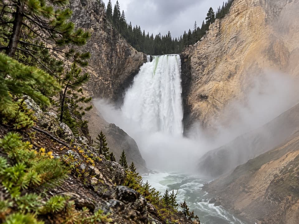
Steep stairs bring you close to Lower Falls.
Overview
Map & elevation
Plan your hike

The highest, rockiest slopes around here are a summer buffet for grizzly bears.
Yellowstone Tour Guide
Parkwolf is a GPS audio tour guide for Yellowstone National Park. As you drive, it chimes in with what’s ahead: hidden gems, upcoming stops, history, geology, and wildlife, right through your car’s speakers.
See the Yellowstone audio tourRecorded for this trailhead
Lookout Point and Grand View“Lookout Point is coming up on North Rim Drive, with a view toward Lower Falls after a short walk from the parking area. I'd stay on the rim here if you want the waterfall view without a steep hike.”
Plays as you drive up to this trailhead in the Parkwolf Yellowstone Tour Guide.
More stories near here in the app
“First time driving through a national park. We used the Yellowstone tour on grand loop Road and it’s just like having a tour guide in your car with you.”


Trail guide
Red Rock Points Trail is a 0.6-mile out-and-back from Lookout Point to the boardwalk at Red Rock Point, with about 260 feet of drop and climb. It brings you close to the 308-foot Lower Falls, but the return is steep and stair-heavy. Allow 30–60 minutes, depending on how long you spend at the viewpoint.
Start at Lookout Point on North Rim Drive. Follow the short paved walkway south to the fork, then take the right-hand path for Red Rock Point; the left branch leads to Canyon Overlook. The descent starts gently, then zigzags down the canyon wall through switchbacks and wooden stairs. A short boardwalk reaches the viewing platform. This is the short Red Rock Point descent, separate from the full North Rim route and the Brink of the Lower Falls Trail.
The platform gives a close, nearly level view toward Lower Falls and the canyon walls. The falls are 308 feet high, and from here their sound and scale are the payoff. The way back follows the same stairs and switchbacks, gaining the height you just lost. The National Park Service advises visitors with heart, lung, or other health conditions against this descent and return climb.
Red Rock Point’s rusty color comes from hydrothermally altered rhyolite and exposed iron oxides. The rocks are part of the larger canyon story: this is a close view into the cut made by the Yellowstone River, with the colorful walls right around the platform.
Albert Bierstadt painted from Red Rock Point in 1881. On the boardwalk, keep some of the canyon wall in the frame with the falls; it gives the 308-foot drop a sense of scale.
The rim trails are listed as year-round. In winter, parts of the canyon are reached by snowmobile and guided snow coach, so check winter access to North Rim Drive before adding this stop to your plans. Pets are allowed only in parking areas, not on the trail.
Wildlife
 713 sightingsGrizzly BearMost seen around 6 AMSighting map
 743 sightingsWolfMost seen around 6 AMSighting map
 5,273 sightingsBisonMost seen around 7 AMSighting map
 3,258 sightingsElkMost seen around 7 PMSighting map
 397 sightingsMooseMost seen around 7 PMSighting map
 1,494 sightingsBlack BearMost seen around 7 PMSighting map
Sighting maps show where each species has been reported across Yellowstone. Wildlife moves, so no sighting is guaranteed.
Keep exploring
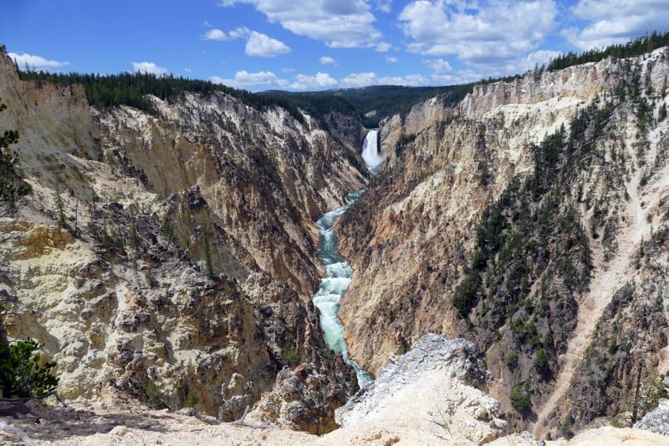 ModerateArtist Point–Point Sublime Trail3 mi · 1.8 hr · 0.4 mi awayThe canyon views begin before you reach Point Sublime.
 ChallengingBrink of the Lower Falls Trail0.7 mi · 1 hr · 0.5 mi awayA close Lower Falls view after a steep, stepped descent.
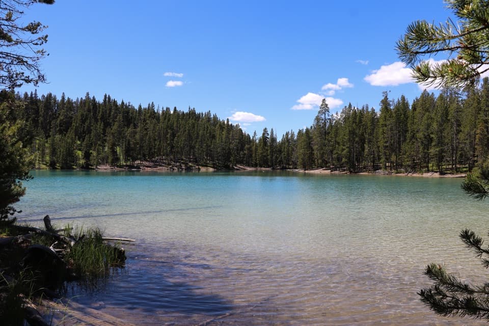 ModerateClear Lake–Ribbon Lake Loop Trail6.1 mi · 3.5 hr · 0.5 mi awayThermal ground, two lakes, and a canyon rim return.EasyClear Lake Trail1.4 mi · 1 hr · 0.6 mi awayA gentle short walk to a bubbling, spring-fed lake.
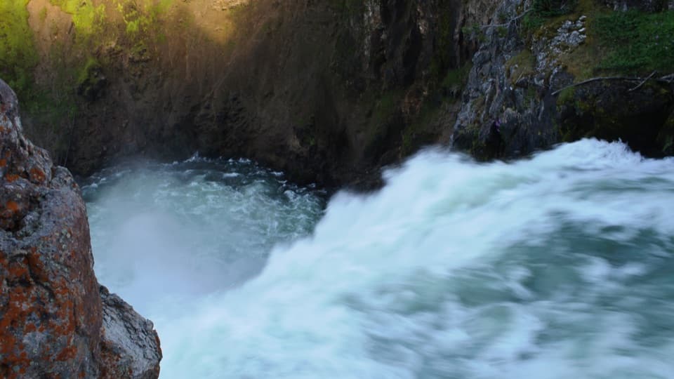 EasyBrink of the Upper Falls Trail0.3 mi · 24 min · 0.7 mi awayA short, stair-stepped walk to Yellowstone's 109-foot Upper Falls.
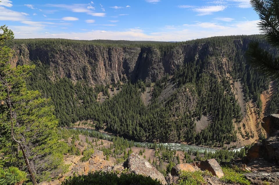 ChallengingSeven Mile Hole Trail10 mi · 6.5 hr · 1 mi awaySilver Cord Cascade first, then the steep drop to the river.
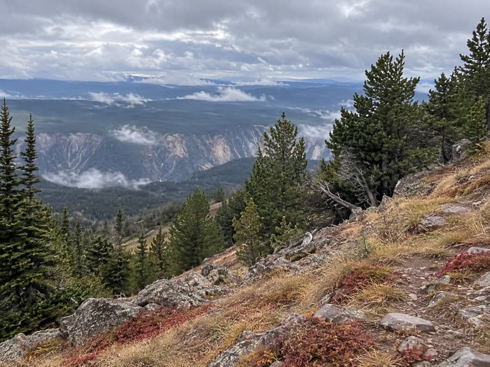 ChallengingMount Washburn Spur Trail16.2 mi · 9 hr · 1 mi awayFrom canyon rim to Washburn Hot Springs and a 10,219-foot summit.
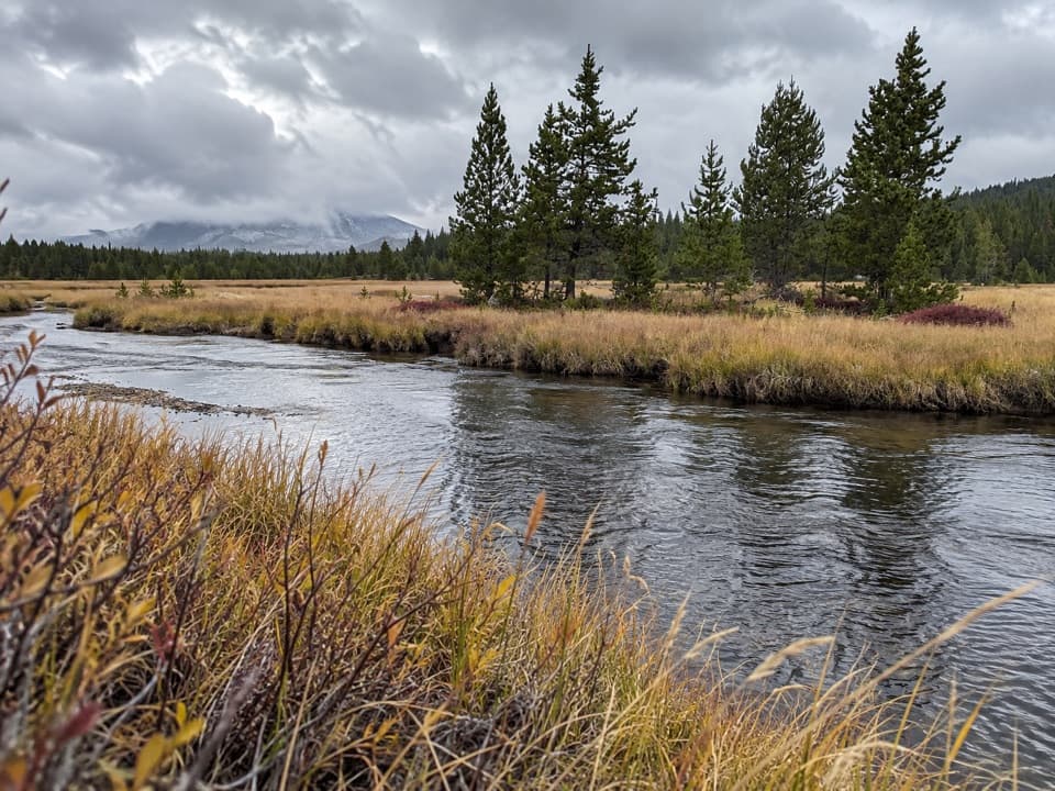 ModerateWrangler Lake Trail8 mi · 4 hr · 1.1 mi awayCreek crossings lead through Hayden Valley to a backcountry lake.
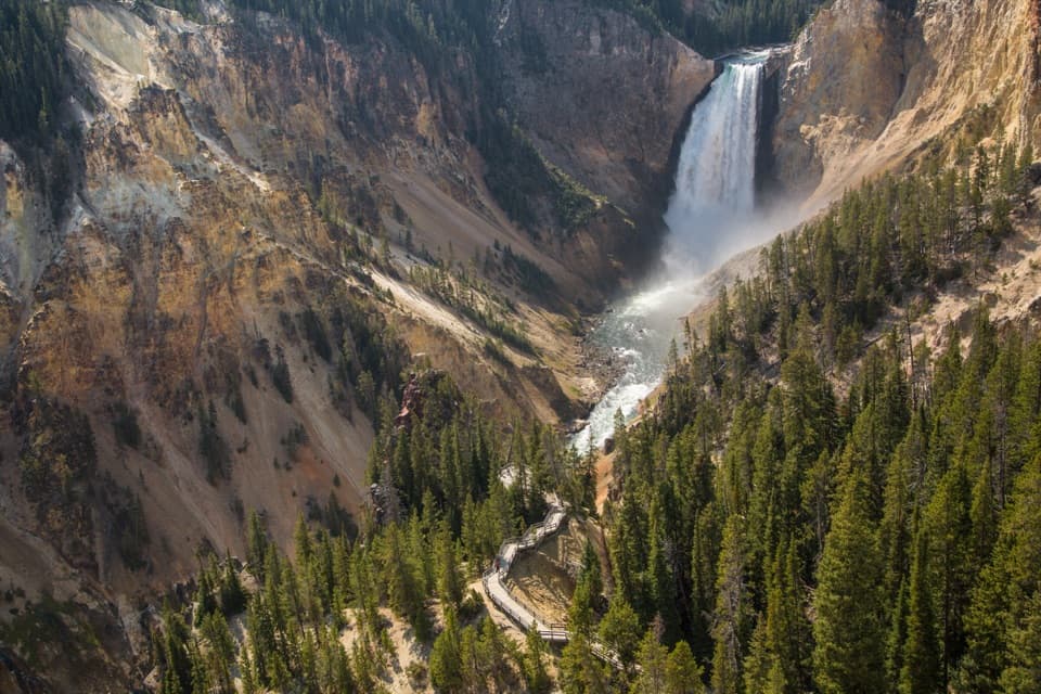 Sight · At the trailheadLookout PointThe Lower Falls fills the canyon from this north-rim perch.
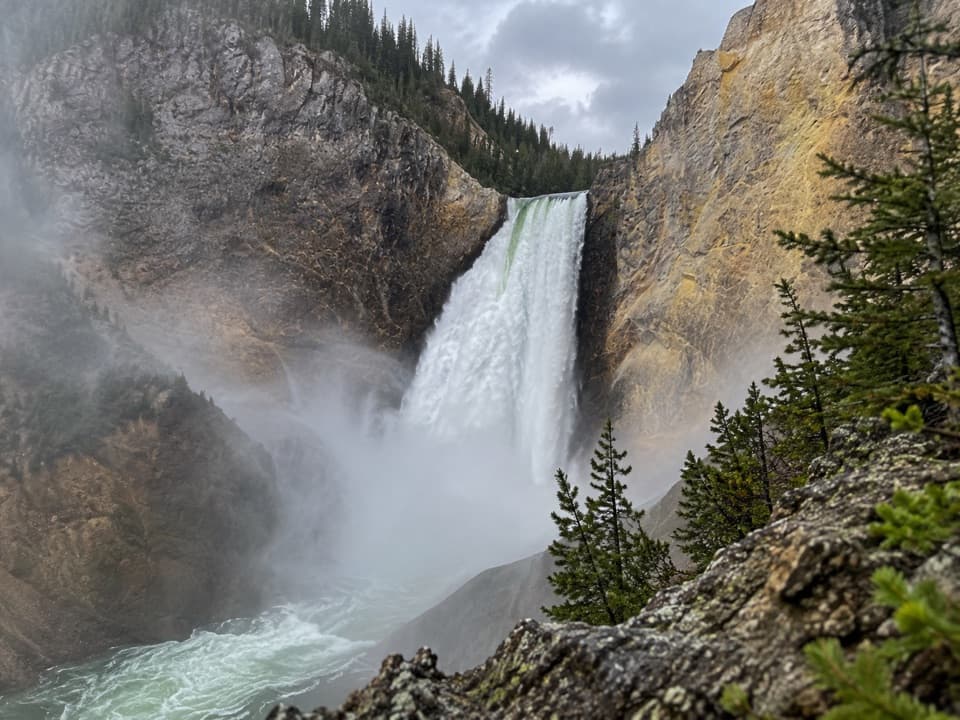 Sight · 0.1 mi awayRed Rock PointA close Lower Falls view after a steep climb back out.
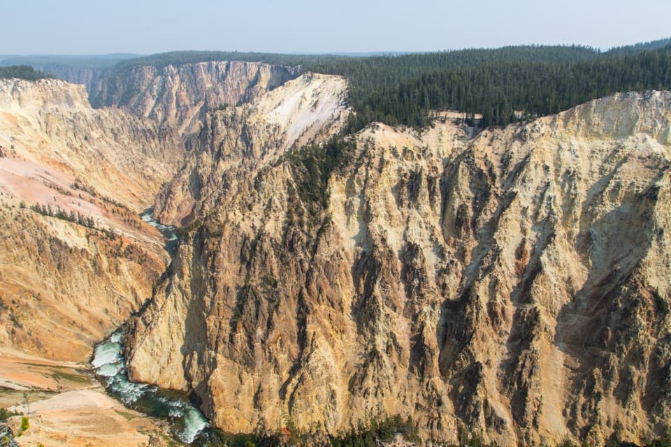 Sight · 0.3 mi awayGrand ViewA broad canyon view, with the river and Lower Falls far below.
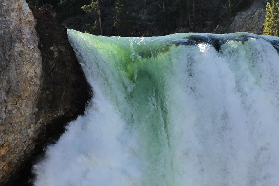 Sight · 0.4 mi awayBrink of the Lower FallsGet close enough to feel the Lower Falls' roar.
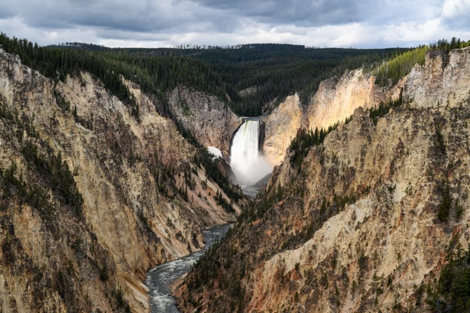 Sight · 0.5 mi awayArtist PointFrom the rim, the 308-foot Lower Falls anchors the view.
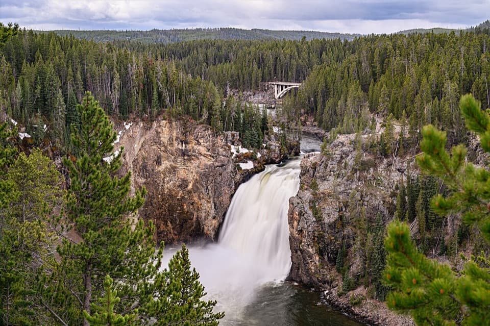 Sight · 0.6 mi awayUpper Falls ViewpointsSouth Rim stop for a close look at 109-foot Upper Falls.
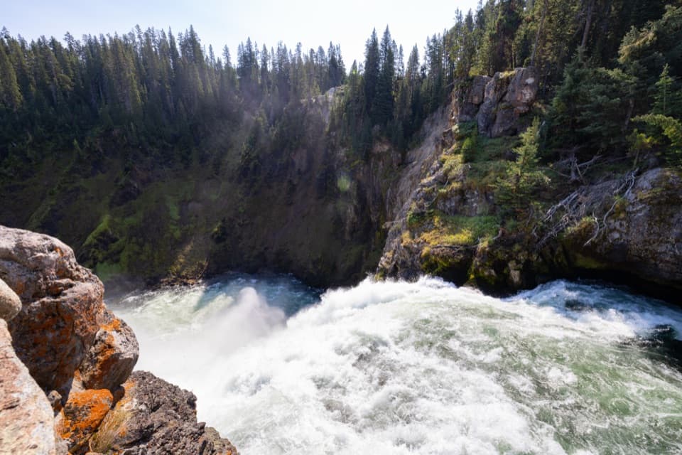 Sight · 0.8 mi awayBrink of the Upper FallsSee the river spill over a 109-foot fall up close.
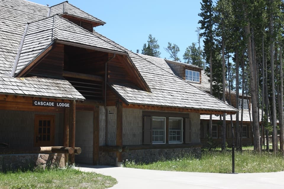 Lodging · 0.8 mi awayCanyon Lodge and CabinsA handy in-park base near the Grand Canyon and both loops.
Parkwolf’s Yellowstone ranking

The audio tour guide for the drive, plus offline maps, trails, and wildlife heatmaps for when the signal drops.




