Parking
Start at the large Divide Trailhead pullout on the Old Faithful–West Thumb road, just west of Craig Pass. Spring Creek and Divide share the access.
Yellowstone National Park, WY · MT · ID
An old stagecoach road follows the creek to the Firehole.
Overview
Map & elevation
Plan your hike

The highest, rockiest slopes around here are a summer buffet for grizzly bears.
Yellowstone Tour Guide
Parkwolf is a GPS audio tour guide for Yellowstone National Park. As you drive, it chimes in with what’s ahead: hidden gems, upcoming stops, history, geology, and wildlife, right through your car’s speakers.
See the Yellowstone audio tourRecorded for this area
Trout Across the Continental Divide“Yellowstone Lake's native cutthroat trout likely arrived by swimming across the Continental Divide. South of the park, at Two Ocean Pass, a broad meadow separates streams flowing toward different oceans.”
Plays on the road 0.3 mi from the trailhead in the Parkwolf Yellowstone Tour Guide.
More stories near here in the app
“First time driving through a national park. We used the Yellowstone tour on grand loop Road and it’s just like having a tour guide in your car with you.”


Trail guide
Spring Creek Trail is an 8-mile out-and-back from Divide Trailhead, following the creek along an old stagecoach road to the Firehole River and the Lone Star Geyser Trail junction, then back the same way. The park calls it easy; allow about four hours. The path gradually drops roughly 400 feet on the way out, so the return is a steady climb. It suits a half day when you want a longer creek walk rather than a short geyser stop.
The route heads south from the pullout, crosses Spring Creek, and turns onto the creekside track. Around 1.6 miles in, it enters a shallow canyon. Near mile 2.2 it briefly climbs above the creek; look left for Turtle Rock, a pointed pinnacle close to trail level. Farther on, the path crosses Spring Creek repeatedly before reaching the Firehole River bridge.
The 8-mile figure turns around at the Lone Star Geyser Trail junction just beyond the Firehole bridge. Lone Star Geyser is just under a mile farther along that separate trail, so adding the geyser and walking back to the junction adds nearly two miles to the outing. The old road gives the walk a bit of Yellowstone's stagecoach history without taking you away from the creek.
Start at the large Divide Trailhead pullout on the Old Faithful–West Thumb road, just west of Craig Pass. Spring Creek and Divide share the access. Yellowstone does not allow pets on hiking trails. Bison and elk use the area; stay at least 25 yards from wildlife and 100 yards from bears and wolves. Spring Creek is also a winter ski route, but ski itineraries can continue beyond this summer hiking turnaround.
Wildlife
 713 sightingsGrizzly BearMost seen around 6 AMSighting map
 743 sightingsWolfMost seen around 6 AMSighting map
 5,273 sightingsBisonMost seen around 7 AMSighting map
 3,258 sightingsElkMost seen around 7 PMSighting map
 397 sightingsMooseMost seen around 7 PMSighting map
 1,494 sightingsBlack BearMost seen around 7 PMSighting map
Sighting maps show where each species has been reported across Yellowstone. Wildlife moves, so no sighting is guaranteed.
Keep exploring
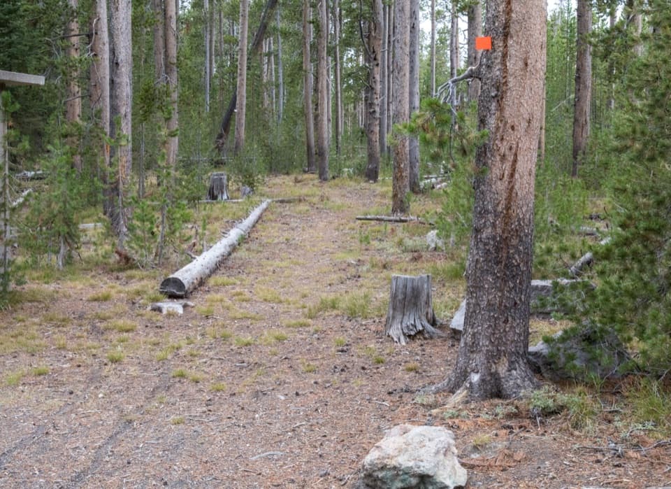
 ModerateDivide Trail3.4 mi · 2.3 hr · At the trailheadA 3.4-mile out-and-back to a former fire lookout site.
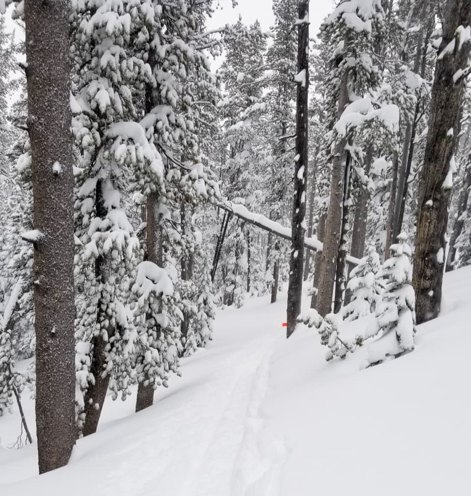
 EasyDeLacy Creek Trail5.8 mi · 4 hr · 1.8 mi awayEasy meadows lead to remote Shoshone Lake.
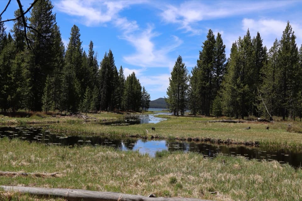
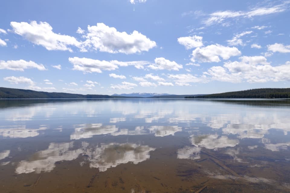 ModerateNorth Shore Shoshone Lake Trail8.3 mi · 6 hr · 2.7 mi awayA remote one-way walk from lake beach into lodgepole forest.
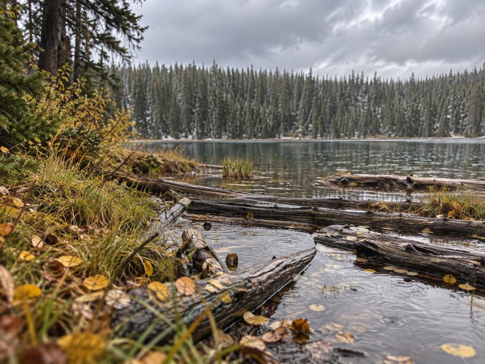 ModeratePocket Lake Trail2.4 mi · 2 hr · 2.8 mi awayA steep forest trail reaches a small backcountry lake.
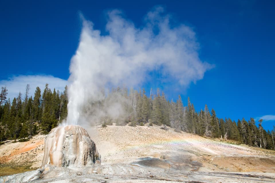 EasyLone Star Geyser Trail4.8 mi · 2.5 hr · 3.5 mi awayEasy Firehole River walk to a geyser with roughly three-hour eruptions.
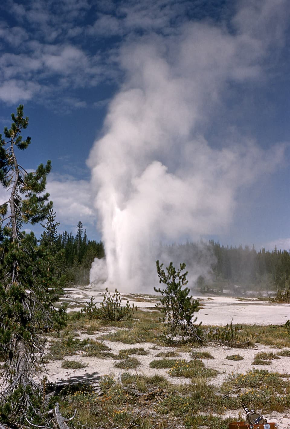 ChallengingShoshone Geyser Basin Trail17 mi · 8.5 hr · 3.5 mi awayMore than 80 geysers, with no boardwalks and a long hike in.
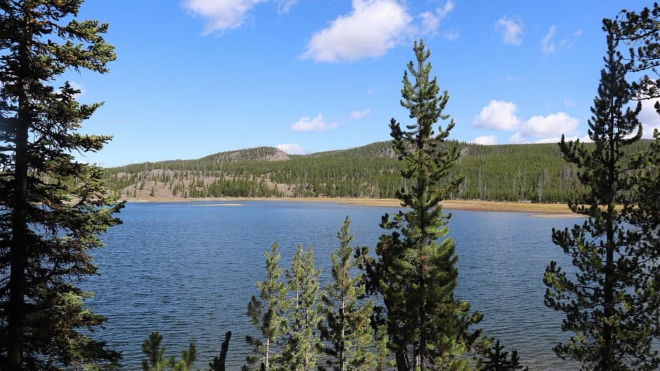 ModerateMallard Lake Trail7 mi · 4.5 hr · 4.7 mi awayPipeline Hot Springs and a Firehole crossing lead to Mallard Lake.
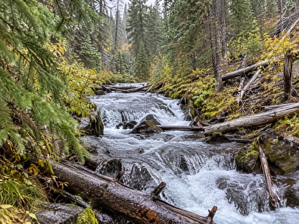 EasyFern Cascade Loop Trail2.5 mi · 1.5 hr · 4.9 mi awayA short woods loop slips down to a hidden cascade.
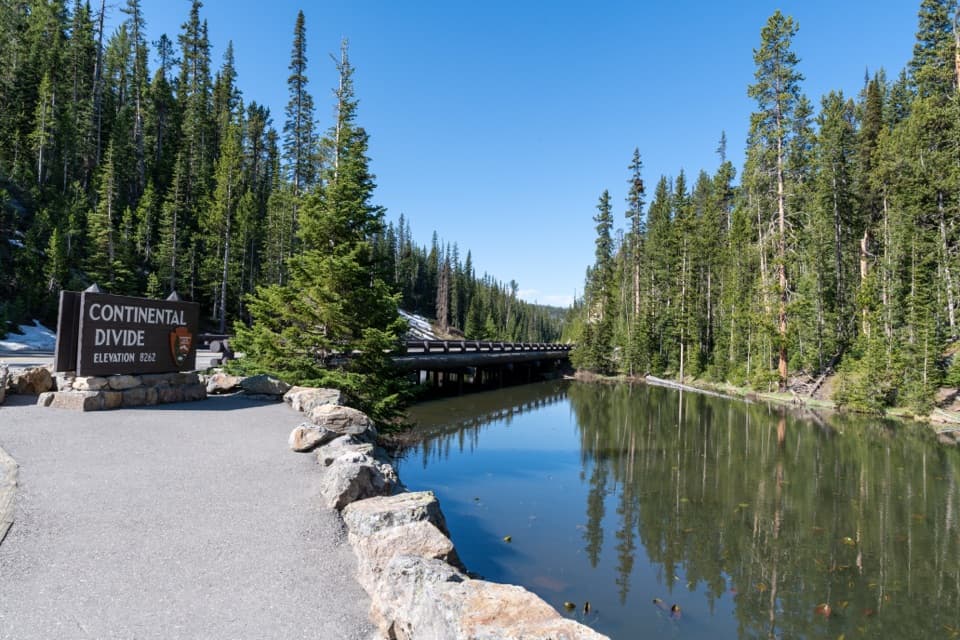 Sight · 0.9 mi awayIsa Lake and Continental DivideA small lake with a snowmelt-dependent two-ocean story.
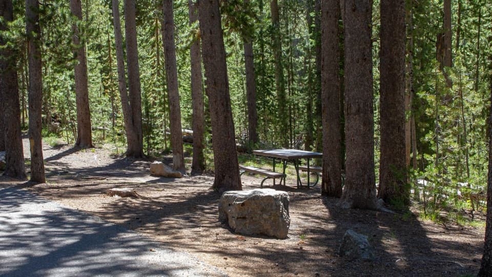 Picnic area · 1 mi awaySpring Creek Picnic AreaCraig Pass picnic break with nine tables and two fire grates
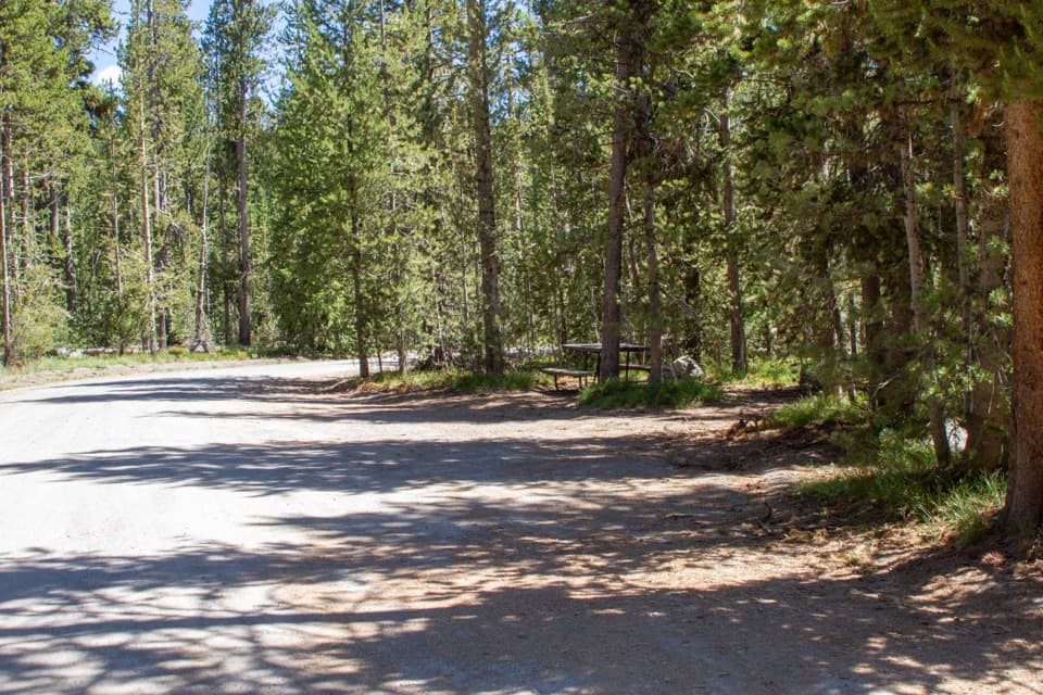 Picnic area · 2 mi awayDeLacy Creek Picnic AreaA handy picnic stop at Craig Pass with a vault toilet.
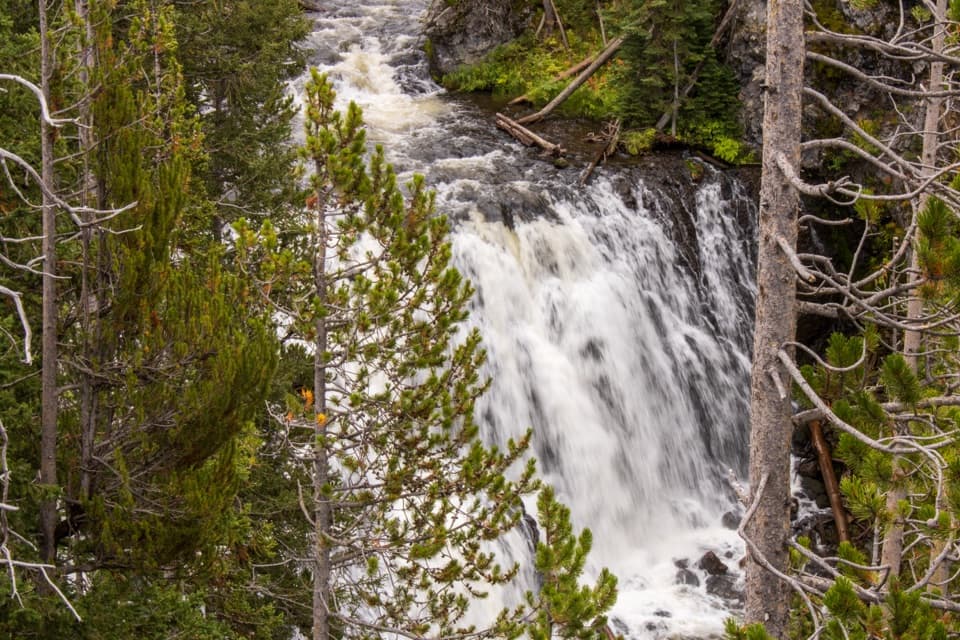 Sight · 3.6 mi awayKepler CascadesThree tiers of Firehole water tumbling into a wooded ravine.
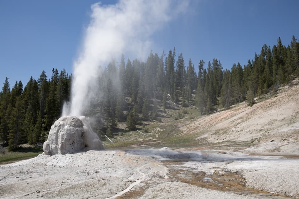 Sight · 3.7 mi awayLone Star Geyser4.8-mile river walk to a geyser whose eruptions average three hours apart.
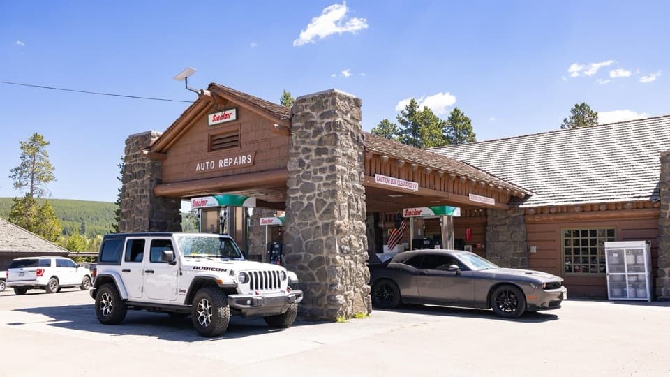 Gas station · 4.8 mi awayOld Faithful Gas and Service Station - UpperA useful in-park stop for fuel, propane, snacks, or repairs.
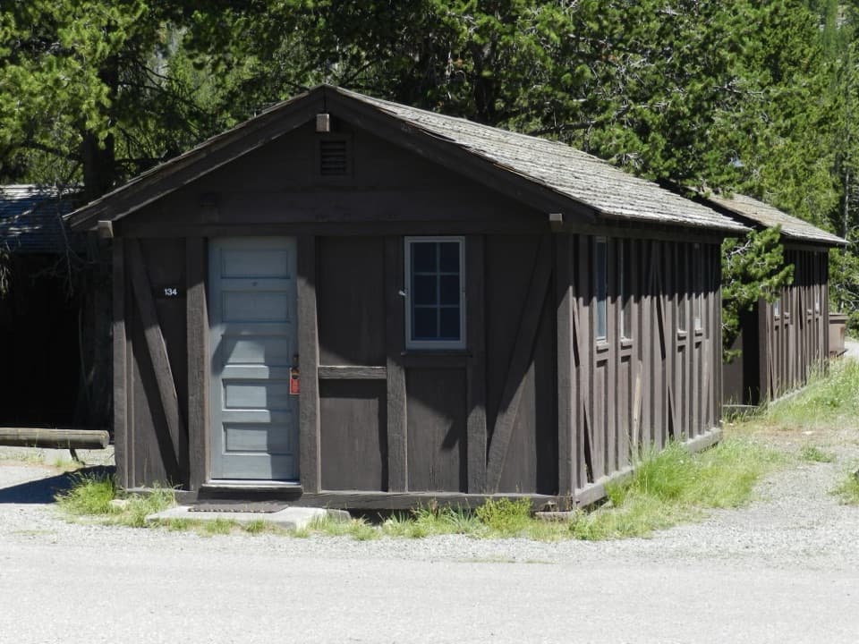 Lodging · 4.8 mi awayOld Faithful Lodge CabinsA rustic cabin stay within easy reach of Old Faithful.
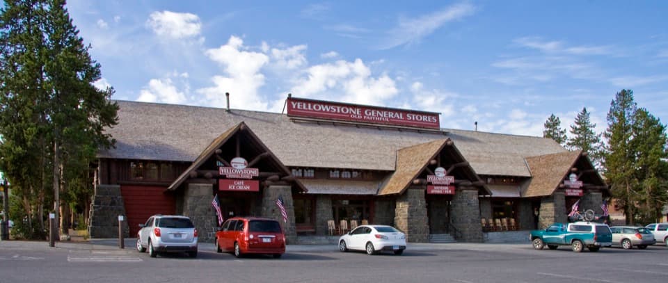 Store · 4.9 mi awayOld Faithful General Store - UpperA 1929 general store with a huge fireplace and practical supplies.
Parkwolf’s Yellowstone ranking

The audio tour guide for the drive, plus offline maps, trails, and wildlife heatmaps for when the signal drops.





