Pros & cons
PROS
- Long, quiet forest stretch with real solitude once you leave the beach
- Easy side trips to Windy Point and a short connection to Shoshone Geyser Basin
CONS
- Middle 5.8 miles are view‑light lodgepole forest
- Swampy sections and rough crossings can mean wet feet in places
Park at the DeLacy Creek Trailhead on Grand Loop Road between Old Faithful and West Thumb; hike ~3 miles to the lake to join the North Shore segment.
Expect mosquitoes (especially mid‑summer), muddy or swampy stretches, and occasional shallow fords/rough crossings. This is grizzly country—carry bear spray. Stay on designated routes near thermal areas. No pets on backcountry trails; overnight camping requires a backcountry permit.
Overview
This backcountry traverse rides the north edge of Shoshone Lake—Yellowstone’s second‑largest lake and the largest in the Lower 48 without road access. The signed trail runs 8.3 miles one way from the lake’s northeast corner to a junction on the west side near Shoshone Geyser Basin. Expect two distinct personalities: wide‑open lakeshore walking up front, then long, quiet miles in lodgepole forest.
Route and Distance
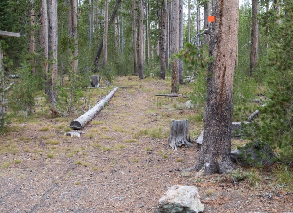
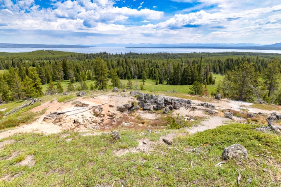
Most hikers reach the trail’s east end via the DeLacy Creek Trail (about 3 miles from the road to the lake), then turn west on the North Shore Shoshone Lake Trail for 8.3 miles to the west‑side junction. The first ~2.5 miles are the scenic sweet spot with easy lakeshore walking and broad views. After that, the path leaves the beach and settles into roughly 5.8 miles of gentle, mostly level forest with occasional lake peeks. On the west end you’re less than a quarter mile from Shoshone Geyser Basin via the connecting trail—stay on designated routes in thermal areas.
Highlights and Side Trips
- Windy Point: a short meadow wander from the trail, then a brief shoreline walk to the lake’s narrowest pinch—big views, big sky.
- Pocket Lake: a spur off the north shore climbs roughly 400 feet to a small, quiet lake—nice if you’re angling for solitude (and trout).
- Camps and views: Backcountry sites dot the route (including along the early lakeshore and near the west end), making this a mellow overnight for those with permits.
What You’ll See
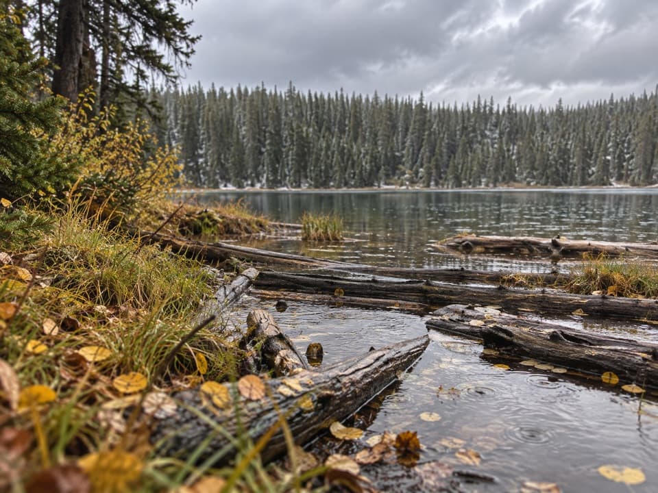
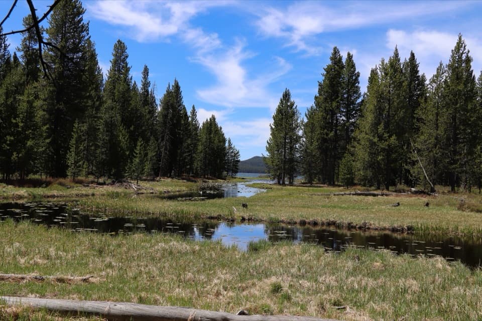
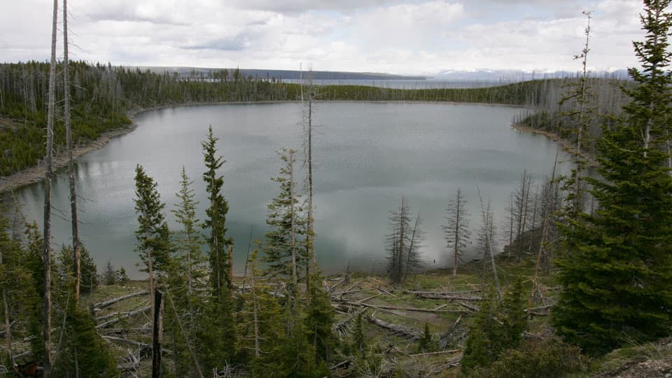
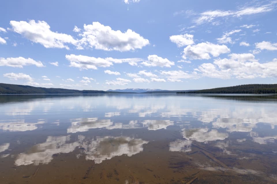
The opening beaches often have dark, pebbly sand with clear water lapping at the shore—photogenic and peaceful. Deeper in, it’s classic lodgepole pine with small creek crossings and intermittent lake glimpses. Wildlife sightings skew to moose and elk around creek flats and meadows; beaver sign is common along DeLacy Creek. This is grizzly country—plan and behave accordingly.
Conditions and Gotchas
The DeLacy Creek crossing is typically straightforward, but expect muddy or swampy patches elsewhere and the occasional rough or decayed crossing that can mean wet feet. Mid‑summer mosquitoes can be fierce, especially on calm days; a breeze helps, but repellent and head nets make this a happier day. If you crave endless vistas, know the middle miles trade views for solitude.
Best Time to Hike
Late spring through early fall is the window. Early and late season bring fewer bugs and cooler temps; mid‑summer brings prime lake days but also the heaviest mosquitoes and some mud after rains. Start early for calm water and quieter shores; afternoon light can be lovely on the west end if you’re continuing toward the geyser basin.
Tips
- Bring robust bug protection in June–July and waterproof footwear for soggy sections.
- Carry bear spray, hike in a group, and make noise in the forested stretches.
- For a shorter taste, the 6‑mile out‑and‑back to the north beach via DeLacy Creek is a gem and captures the best lakeshore scenery.
- Overnighting requires a backcountry permit; follow all food‑storage rules. Pets aren’t allowed on backcountry trails.
Elevation
8.3 mi · 4 hrWildlife on this trail
Near North Shore Shoshone Lake Trail
All places →All trails →
Lower Yellowstone FallsYellowstone River’s 308‑foot plunge framed by a painted canyonParking · Scenic Viewpoint
Old FaithfulIconic geyser with reliably timed eruptions and easy viewingRestroom · Parking
Upper Geyser BasinWalk among the world’s densest collection of erupting geysersRestroom · Geyser
Artist PointThe classic head-on view of Lower Falls and the painted canyonRestroom · Parking
Upper Geyser Basin BoardwalksFlat boardwalks past Old Faithful and a who's-who of geysersEasy · 3 mi · 2 hr
Midway Geyser Basin BoardwalkShort, steamy loop to Grand Prismatic and roaring Excelsior.Easy · 0.8 mi · 30 min
Mount Washburn TrailWide, steady climb to the best 360-degree summit views aroundModerate · 7 mi · 3.5 hr
North Rim TrailGrand Canyon of the Yellowstone, nonstop waterfall-and-canyon dramaModerate · 7.6 mi · 3.3 hr